The best mountain hikes in Thuringia
4.6
(15)
84
hikers
23
hikes
Mountaineering in Thuringia offers diverse terrain across its low mountain ranges, dense forests, and unique rock formations. The region is characterized by the expansive Thuringian Forest, featuring rolling hills and deep valleys, and the Thuringian Slate Mountains, known for slate landscapes. Portions of the Rhön Mountains also extend into Thuringia, providing open heights and wide views.
Best mountaineering routes in Thuringia
- The most popular mountaineering route is Torstein Rock Arch – Red Tower loop from Bad Tabarz, a 5.3…
Last updated: September 23, 2026
4.8
(6)
30
hikers
8.59km
02:53
330m
330m
Moderate mountaineering route. Good fitness required. Mostly accessible paths. Sure-footedness required.
11
hikers
6.49km
01:52
160m
160m
Easy mountaineering route. Great for any fitness level. Easily-accessible paths. Suitable for all skill levels.

4
hikers
Moderate mountaineering route. Good fitness required. Mostly accessible paths. Sure-footedness required.
5.0
(1)
7
hikers
8.87km
02:32
200m
200m
Moderate mountaineering route. Good fitness required. Mostly accessible paths. Sure-footedness required.
5
hikers
Moderate mountaineering route. Good fitness required. Mostly accessible paths. Sure-footedness required.
4
hikers
7.53km
02:05
130m
130m
Moderate mountaineering route. Good fitness required. Easily-accessible paths. Suitable for all skill levels.
2.0
(1)
4
hikers
11.2km
03:31
430m
430m
Moderate mountaineering route. Good fitness required. Easily-accessible paths. Suitable for all skill levels.
5.0
(1)
2
hikers
Hard mountaineering route. Good fitness required. Sure-footedness, sturdy shoes and alpine experience required.
Hard mountaineering route. Good fitness required. Sure-footedness, sturdy shoes and alpine experience required.
5.0
(2)
3
hikers
7.90km
02:28
280m
280m
Moderate mountaineering route. Good fitness required. Easily-accessible paths. Suitable for all skill levels.
Get access to more routes and recommendations from other explorers.
Already have an account?
Our route recommendations are based on thousands of hikes, rides, and runs completed by other people on komoot.
Start today with a free account
Your next adventure awaits.
Popular around Thuringia

Mountain Hikes in the Thuringian Forest

Mountain Hikes in Landkreis Schmalkalden-Meiningen

Mountain Hikes around Landkreis Gotha
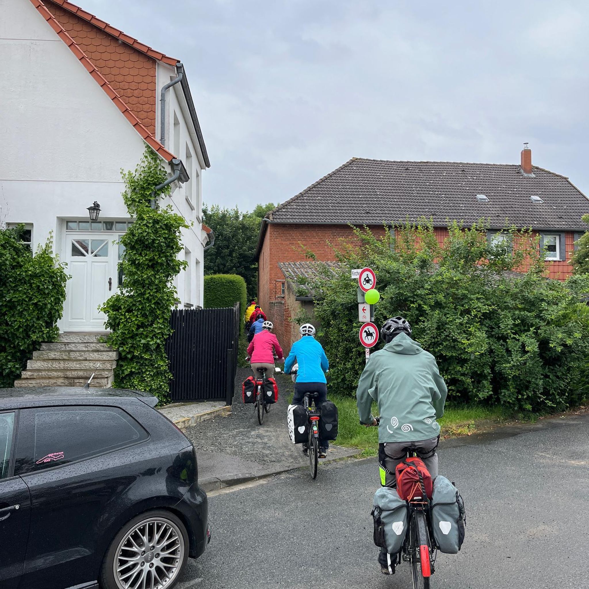
Mountain Hikes in Ilm-Kreis
Mountain Hikes in Wartburgkreis

Mountain Hikes around Landkreis Nordhausen
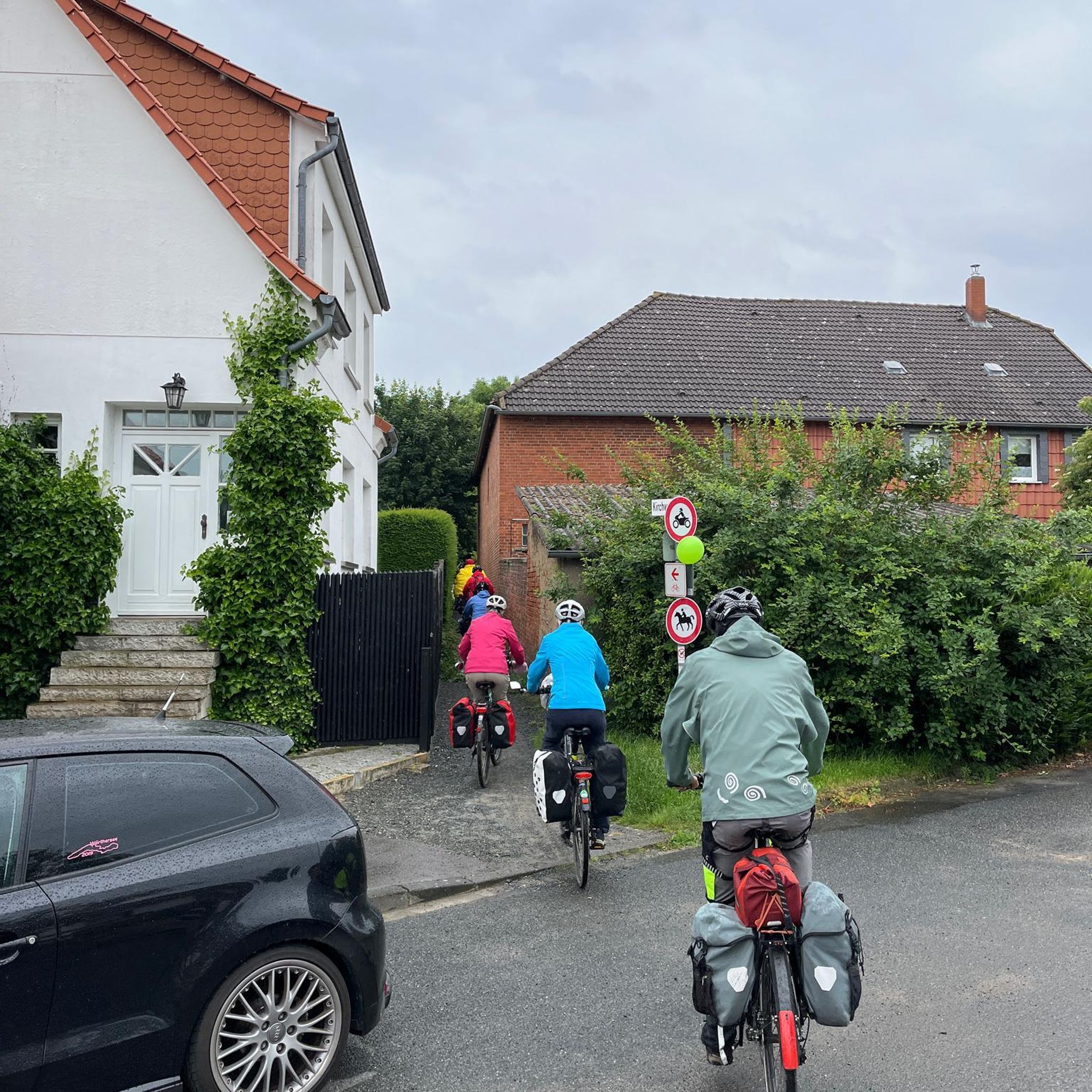
Mountain Hikes around Suhl
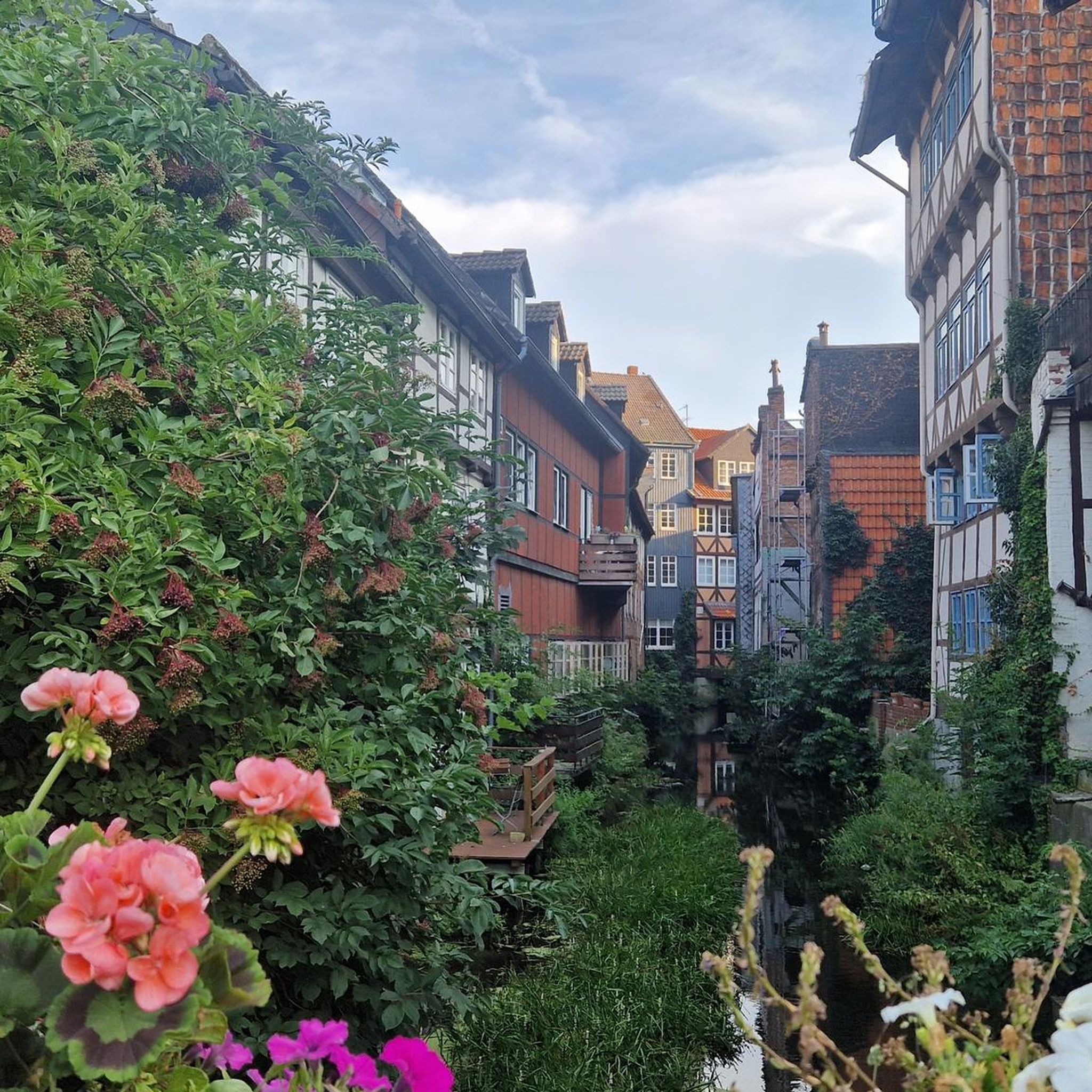
Mountain Hikes in Landkreis Eichsfeld
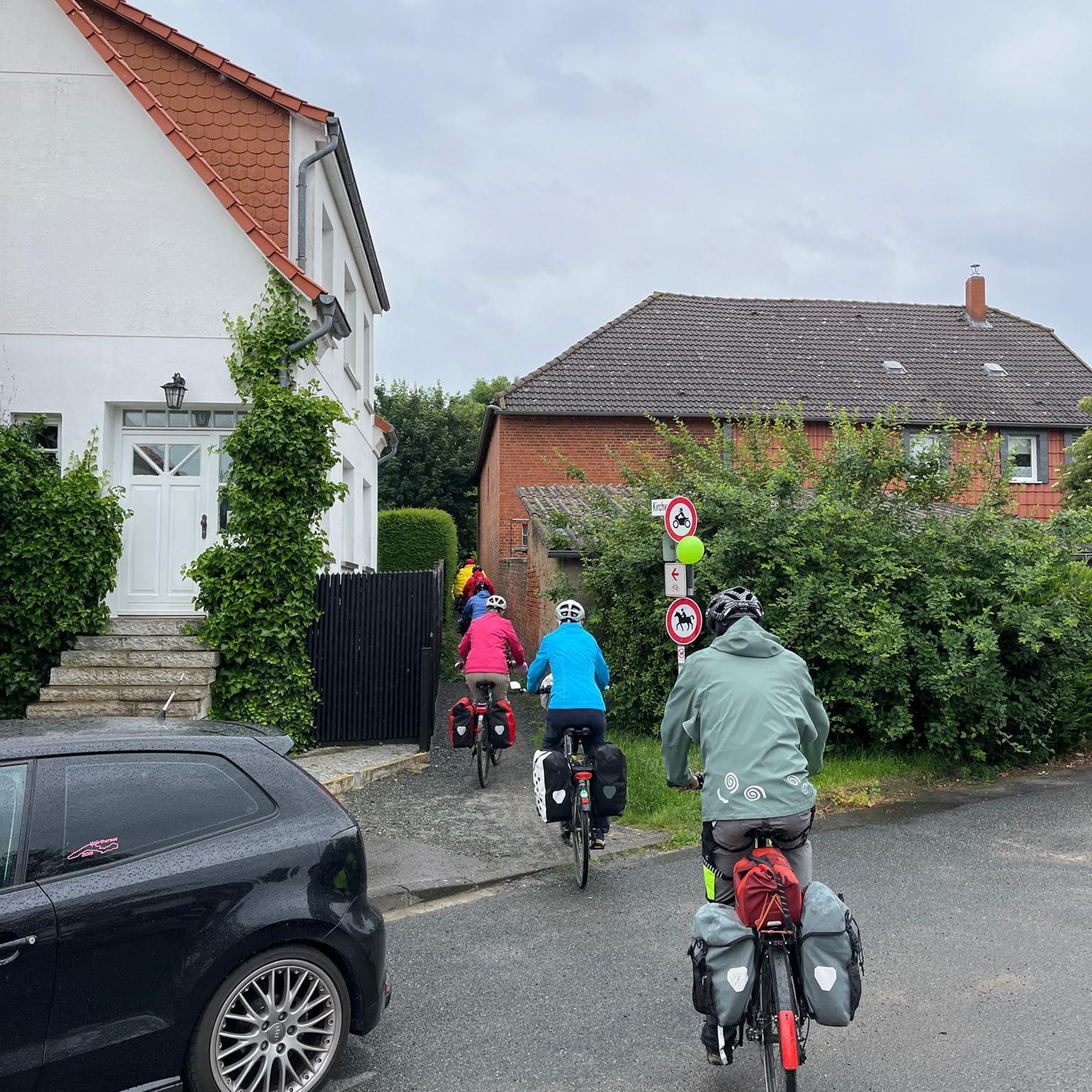
Mountain Hikes in Hildburghausen
Mountain Hikes in Landkreis Saalfeld-Rudolstadt
Other adventures in Thuringia


Tips from the Community

Imposing rock formations and natural river sections of the Selbitz. Views of striking rocks such as the Hirschsprung and the König David. Historic river crossings such as the Jungfernsteg and the Teufelssteg.
1
0

The Blankenstein hiking base is a central meeting point for hikers in Thuringia. The place is considered the „hub of hiking“ as more than 20 hiking trails meet here. Among other things, this is the official start or end point of the famous Rennsteig, Germany's oldest ridge trail.
5
0

[...] Furthermore, "museum trips" take place on the Rennsteigbahn at irregular intervals. These also stop at the Bad stop. [...] Since June 2014, trains of the Erfurter Bahn have been running to Rennsteig station on weekends and public holidays. At the timetable change in December 2017, the services were taken over by Süd-Thüringen-Bahn for eleven years. [...] The station building is a two-story half-timbered building, which is richly decorated and formerly had a small tower on the roof. The roof is very steep, as snowy winters are to be expected due to its location in the Thuringian Forest, and a steeper roof is statically more stable than a flatter one. The building is very similar to the stations of Manebach, Stützerbach, Schmiedefeld, and Schleusingerneundorf. Directly next to the stop are the Lessingpark on the south side and the Ilm on the north side.
1
0

Beautiful view into the wide country.
0
0

The climb is worth it…
0
0

Beautiful rest area between Drachenschlucht and Hohe Sonne.
1
0

Abandoned site of the Kirchberg Royal Palace From the southern path, there are no steps to reach this site; from the northern path, a short, steep staircase leads up to Marienblick. Only the old cistern remains of the royal palace; otherwise, only uneven ground surfaces remain, which, with a bit of imagination, might reveal some of the original structure.
1
0
The Greifberg Castle was located further west on the ridge of the Hausberg. Here, it was the Imperial Palace of Kirchberg.
0
0
Frequently Asked Questions
How many mountaineering routes are available in Thuringia?
You'll find over 25 mountaineering routes in Thuringia, offering a diverse range of experiences across its low mountain ranges, dense forests, and unique rock formations. These routes are highly rated by the komoot community, with an average score of 4.9 stars.
What are the typical difficulty levels for mountaineering in Thuringia?
Thuringia offers a good mix of routes for various skill levels. You can find 5 easy routes, 19 moderate routes, and 5 difficult routes, ensuring there's something for everyone from beginners to experienced mountaineers.
Are there any family-friendly mountaineering routes in Thuringia?
Yes, Thuringia has several family-friendly options. For an easier outing, consider the Backofenloch in the Lauchagrund – Backofenloch Cave loop from Bad Tabarz. This easy route covers 6.4 km and takes about 1 hour 50 minutes, perfect for a pleasant walk with the family through the scenic Lauchagrund.
Can I bring my dog on mountaineering trails in Thuringia?
Generally, dogs are welcome on most mountaineering trails in Thuringia, especially within the Thuringian Forest Nature Park. It's always recommended to keep your dog on a leash to protect local wildlife and ensure a pleasant experience for all trail users. Always check specific local regulations for protected areas.
What kind of natural landmarks can I expect to see along the routes?
Thuringia's routes often lead through impressive natural features. You can explore the unique rock formations of the Dragon Gorge, such as the Dragon Gorge itself or the Narrowest point of the Drachenschlucht. Many trails also offer stunning viewpoints like the Great Drachenstein Oak and Viewpoint, providing panoramic views of the diverse landscape.
Are there any routes that feature waterfalls?
Yes, Thuringia is home to several beautiful waterfalls that can be incorporated into your mountaineering adventures. The Fairy grotto – Dragon Gorge loop from Eisenach, for instance, passes by the enchanting Fairy grotto. Other notable waterfalls in the region include the Trusetal Waterfall and the Spitterfall.
Are there any circular mountaineering routes in Thuringia?
Many of Thuringia's mountaineering routes are designed as convenient loops. For example, the Rock Path Höllental – Höllental along the Selbitz loop from Blankenstein (Saale) offers a moderate 11.2 km circular trail through the scenic Höllental. Another option is the Shelter "Stein 16" – Violet fountain loop from Oberhof, a moderate 7.6 km loop.
What is the best time of year for mountaineering in Thuringia?
The best time for mountaineering in Thuringia is typically from spring to autumn (April to October). During these months, the weather is generally mild, and the trails are clear. Spring offers blooming landscapes, while autumn provides stunning fall foliage, especially in the dense mixed forests of the Thuringian Forest.
Are there any challenging routes for experienced mountaineers?
Absolutely. For those seeking a more demanding experience, Thuringia offers several difficult routes. Consider the Goose's Beak – Three-valley view (HWN 93) loop from Ilfeld, a challenging 7.5 km route with significant elevation changes. Another option is the Kaltenbrunner Stein Viewpoint – Burnt Rock loop from Zella-Mehlis, a difficult 12.7 km trail.
What are the highest points I can reach on a mountaineering route in Thuringia?
Many routes in Thuringia offer access to the region's highest elevations. The Thuringian Forest features peaks like the Großer Beerberg (982m) and the Schneekopf (978m). You can explore a section of the historic Rennsteig, which traverses these heights, on routes such as the Highest Point of the Rennsteig – Schmücke Lodge and Beer Garden loop from Kernzone Schneekopfmoor.
Are there any routes with notable viewpoints or observation towers?
Yes, many routes lead to fantastic viewpoints. The Kickelhahn Tower – Kickelhahn Observation Tower loop from Ilmenau is a moderate 11.1 km route that takes you to the Kickelhahn Tower, offering expansive views over the surrounding Thuringian Forest. The Rhön Mountains, partly in Thuringia, are also known for their wide, open vistas.
What kind of terrain can I expect on Thuringia's mountaineering trails?
Thuringia's terrain is quite varied, characterized by low mountain ranges, dense mixed forests, and unique rock formations. You'll encounter rolling hills and steep valleys in the Thuringian Forest, slate landscapes in the Thuringian Slate Mountains, and open, unforested heights in the Rhön Mountains. Trails range from well-maintained paths to more rugged, natural surfaces.
Most popular routes in Thuringia
Most popular attractions in Thuringia

Get inspired with the komoot mobile app


Didn’t find what you were looking for?
Check out more Mountain Hikes & Routes throughout Thuringia below and find the perfect route in your destination.
Explore more
Browse the best Mountain Hikes & Routes in other regions.
