The best running trails around Mouflers
3.8
(13)
798
runners
116
runs
Jogging routes around Mouflers primarily follow the gentle terrain of the Somme Valley, characterized by river paths and former towpaths. The landscape is generally flat with minimal elevation changes, making it suitable for various running paces. This region offers a network of trails that often trace the course of the Somme River, providing consistent surfaces for running.
Best jogging routes around Mouflers
- The most popular jogging route is Chemin de halage loop from Flixecourt, a 5.2 miles (8.4 km)…
Last updated: October 11, 2026
16
runners
12.2km
01:16
30m
30m
Moderate run. Good fitness required. Mostly paved surfaces. Suitable for all skill levels.
15
runners
6.45km
00:40
20m
20m
Moderate run. Good fitness required. Mostly paved surfaces. Suitable for all skill levels.

10
runners
10.4km
01:06
50m
50m
Moderate run. Good fitness required. Mostly paved surfaces. Suitable for all skill levels.
7
runners
6.42km
00:42
10m
10m
Moderate run. Good fitness required. Mostly paved surfaces. Suitable for all skill levels.
5
runners
9.91km
01:04
90m
90m
Moderate run. Good fitness required. Mostly paved surfaces. Suitable for all skill levels.
Get access to more routes and recommendations from other explorers.
Already have an account?
Our route recommendations are based on thousands of hikes, rides, and runs completed by other people on komoot.
Start today with a free account
Your next adventure awaits.

Tips from the Community

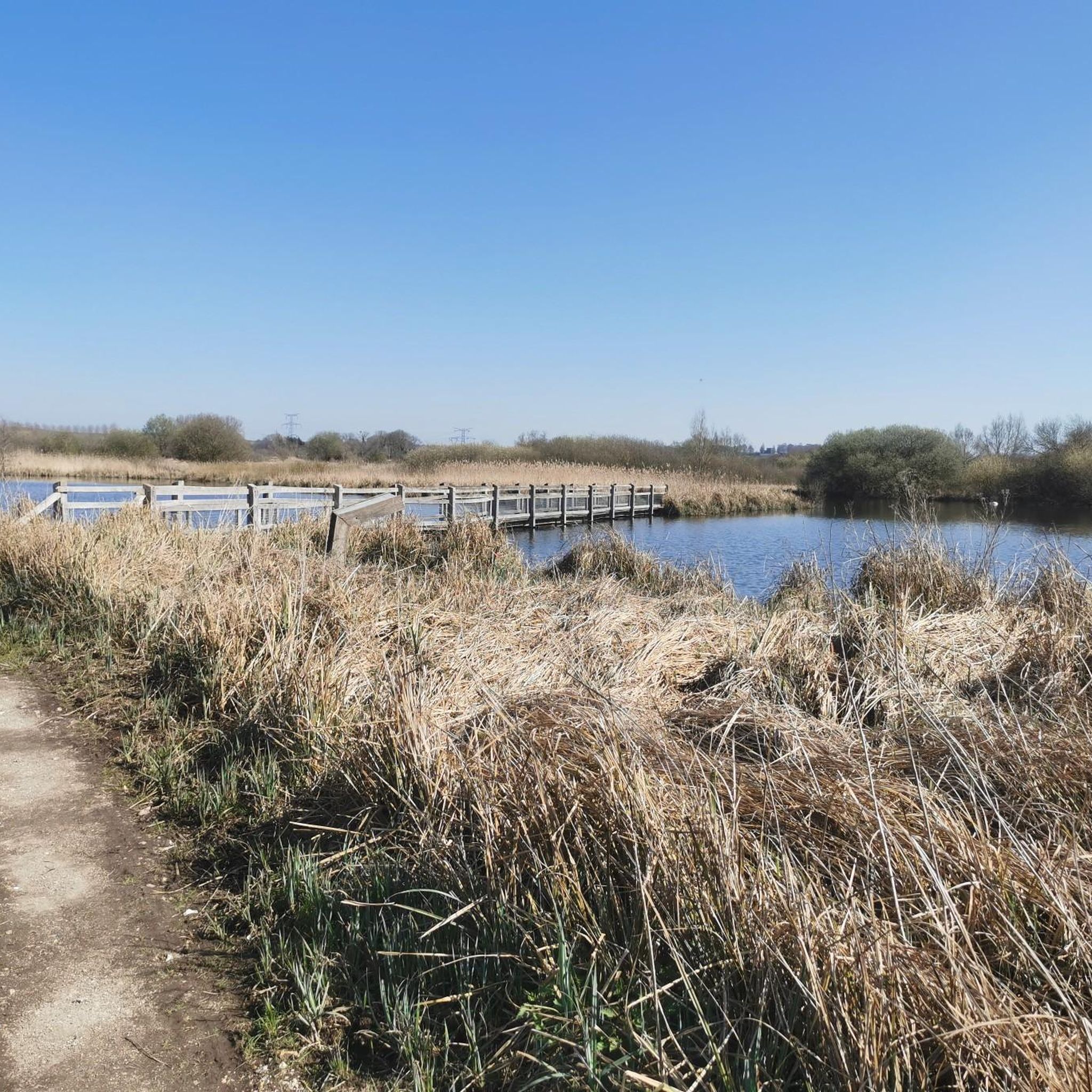
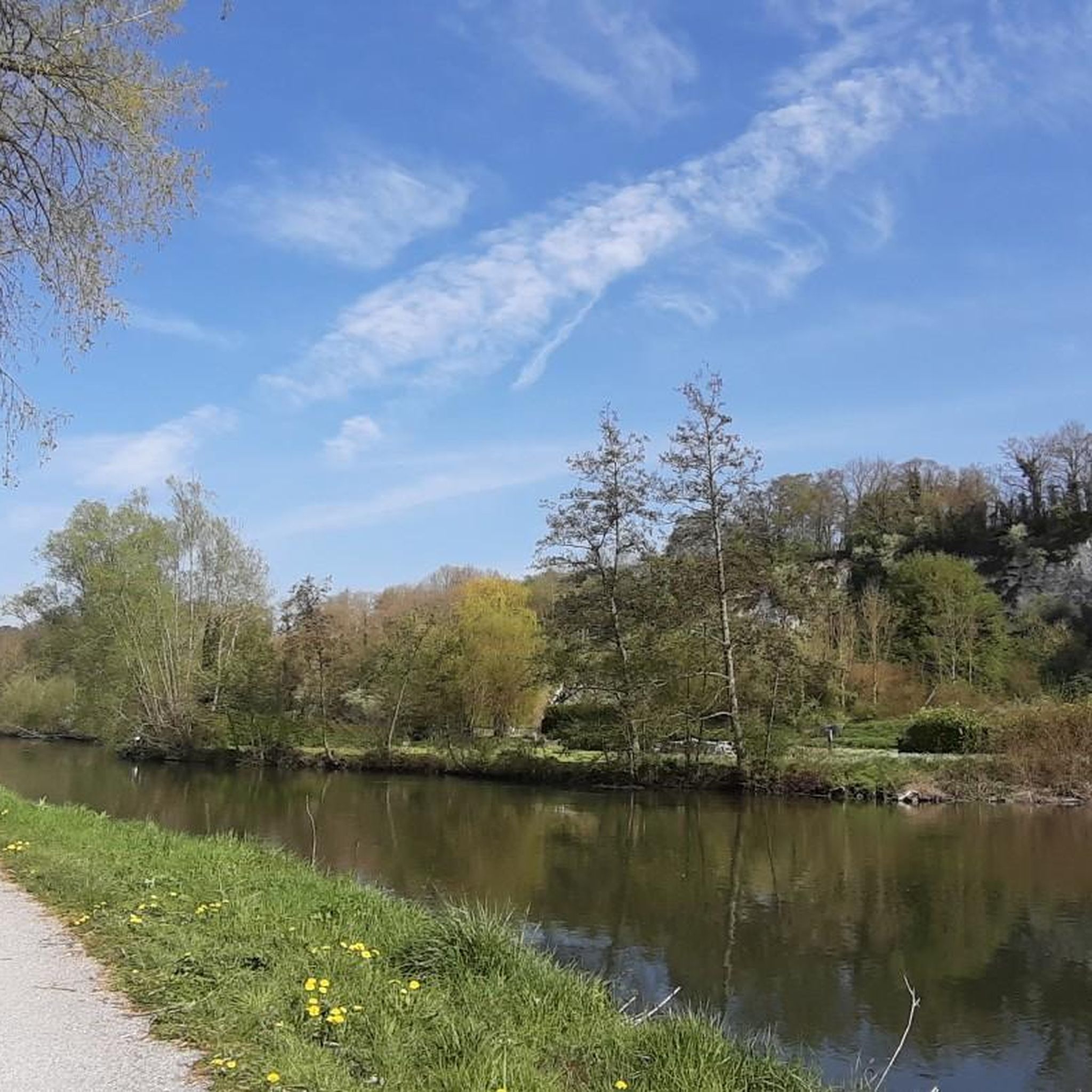
Beautiful surroundings with rapids
0
0

take a right and a nice little detour
0
0
There are other routes nearby.
0
0

Not far from here (1.2 km), on the outskirts of Bourdon, there is a large military cemetery for German soldiers who fell here on the Somme in heavy fighting (including the Battle of Abbeville in early June 1940).
2
0

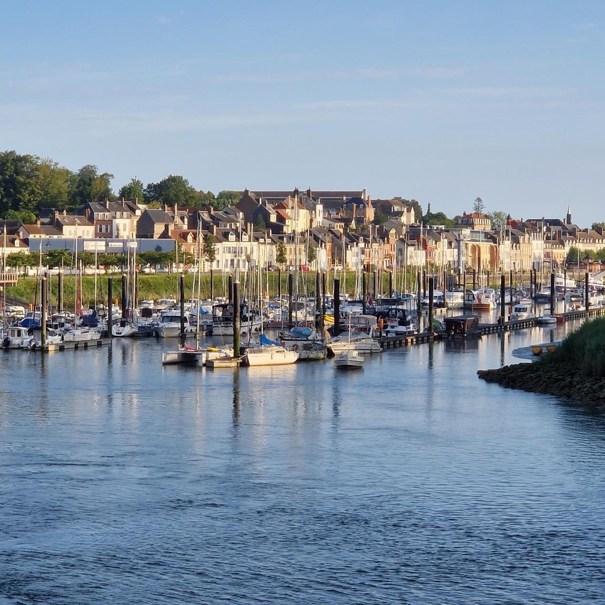
This charming village, with its stone houses and picturesque alleys, is surrounded by green landscapes. The Château de Long overlooks the village. The Somme, which crosses the village, offers a bucolic setting ideal for a walk along the banks or a boat trip. The mills, ponds and gardens contribute to the serene atmosphere of the place.
0
0

Two impressive castles along the Somme.
3
0
Frequently Asked Questions
How many running routes are available around Mouflers?
There are over 100 dedicated running routes around Mouflers, offering a wide range of options for different skill levels and preferences. The majority of these routes are moderate, with a good selection of easy and difficult trails as well.
Are there easy jogging routes suitable for beginners in Mouflers?
Yes, Mouflers offers several easy jogging routes perfect for beginners. The terrain in the Somme Valley is generally flat, making it ideal for gentle runs. Look for paths along the river or former towpaths for a smooth experience.
What kind of terrain can I expect on jogging trails in Mouflers?
Jogging routes in Mouflers primarily follow the gentle terrain of the Somme Valley, featuring river paths and former towpaths. The landscape is largely flat with minimal elevation changes, providing consistent surfaces for running. You'll also find paths leading through open countryside.
Are there any longer or more challenging running routes for advanced runners?
Absolutely. For those seeking a greater challenge, routes like the Somme Valley – Around Long Lock loop from L'Étoile offer a difficult 16.7-mile (26.9 km) experience. These longer trails still benefit from the relatively flat valley terrain but cover significant distances.
Can I find circular running routes in the Mouflers area?
Yes, many of the running routes around Mouflers are circular, allowing you to start and finish at the same point. A popular option is the Chemin de halage loop from Flixecourt, which is a moderate 5.2-mile (8.4 km) trail along a flat towpath.
Are the jogging routes in Mouflers suitable for families or those running with children?
Many routes in Mouflers are suitable for families due to the generally flat and well-maintained paths, especially those along the Somme River. The minimal elevation changes make it easier for younger runners or those pushing strollers. Consider routes on former towpaths for a smooth surface.
What are some points of interest or landmarks I can see while jogging in Mouflers?
While jogging, you can enjoy views of the Somme Valley itself. Some routes pass by historical sites such as Long Castle or Pont-Rémy Castle. You might also spot the Long Hydroelectric Power Plant, an interesting man-made monument.
Are the running trails around Mouflers dog-friendly?
Generally, the outdoor trails in the Mouflers region are dog-friendly, especially the river paths and countryside routes. It's always a good idea to keep your dog on a leash, especially near agricultural areas or wildlife, and to carry waste bags. Always check local signage for specific restrictions.
What do other runners enjoy most about jogging in Mouflers?
The running routes in Mouflers are highly rated by the komoot community, with an average score of 4.1 stars. Runners often praise the peaceful river paths, the flat and consistent surfaces of the towpaths, and the scenic views of the Somme Valley and surrounding countryside.
Are there any hidden gem running routes in Mouflers that are less crowded?
While popular routes like the Chemin de halage are well-loved, you can often find quieter experiences on trails slightly off the main river paths. For example, the Running loop from Ville-le-Marclet takes you through local countryside and might offer a more secluded run compared to the busiest towpath sections.
Is there public transport access to the jogging trails in Mouflers?
Access to jogging trails in Mouflers primarily relies on local transport options or personal vehicles. While some villages along the Somme River may have limited bus services, having a car often provides the most flexibility to reach various starting points for the routes.
Where can I find parking for the running routes in Mouflers?
Parking is typically available in the villages where many routes begin, such as Flixecourt, L'Étoile, or Ville-le-Marclet. Look for public parking areas near town centers or trailheads. It's advisable to check specific route descriptions for detailed parking information.
What is a good time of year to go jogging in Mouflers?
Spring and autumn are generally ideal for jogging in Mouflers, offering mild temperatures and beautiful scenery as the landscape changes. Summer can also be pleasant, especially in the mornings or evenings, but be mindful of warmer temperatures. Winter running is possible, but paths might be damp or muddy.
Are there any running routes that offer particularly scenic views of the Somme River?
Many routes closely follow the Somme River, providing continuous scenic views. The Chemin de halage loop from L'Étoile is a moderate 6.4-mile (10.4 km) path that offers excellent river views with minimal elevation gain, making it a popular choice for its picturesque setting.
Most popular attractions around Mouflers

Get inspired with the komoot mobile app


Explore more
Browse the best Running Trails & Routes in other regions.
