The best cycling routes around Mouflers
4.6
(246)
1,413
riders
101
rides
Touring cycling around Mouflers offers a network of routes primarily following river valleys and canals, providing generally gentle gradients. The landscape features open countryside, often alongside waterways like the Somme River, with some routes exploring local historical sites. While many trails are relatively flat, some moderate options include rolling terrain.
Best touring cycling routes around Mouflers
- The most popular touring cycling route is Picnic Area by the Canal – Chateau Picquigny loop from L'Étoile, an 18.0 miles (29.0 km)…
Last updated: October 12, 2026
5.0
(2)
20
riders
Easy bike ride. Great for any fitness level. Mostly paved surfaces. Suitable for all skill levels.
2
riders
35.5km
02:36
380m
380m
Moderate bike ride. Good fitness required. Mostly paved surfaces. Suitable for all skill levels.

11
riders
51.0km
04:01
370m
370m
Moderate bike ride. Good fitness required. Mostly paved surfaces. Suitable for all skill levels.
5.0
(1)
11
riders
51.1km
04:01
340m
340m
Hard bike ride. Good fitness required. You may need to push your bike for some segments of this route.
6
riders
Easy bike ride. Great for any fitness level. Mostly paved surfaces. Suitable for all skill levels.
Get access to more routes and recommendations from other explorers.
Already have an account?
Our route recommendations are based on thousands of hikes, rides, and runs completed by other people on komoot.
Start today with a free account
Your next adventure awaits.


Tips from the Community

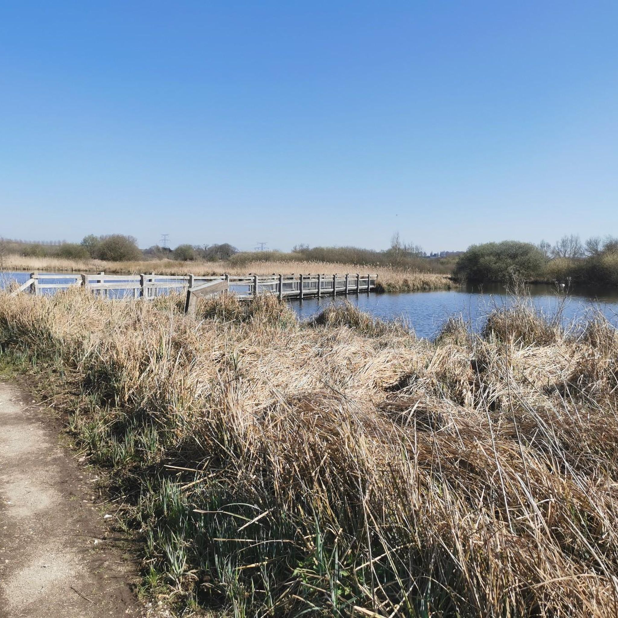
Located in the heart of the Somme valley, the Belloy-sur-Somme marsh constitutes a preserved area of nearly 90 hectares with high ecological value. The diversity and quality of the present environments allow for the expression of fauna and flora characteristic of alkaline peat bogs. A path punctuated by educational signs allows you to cross the marsh and thus discover the different environments that make it up: ponds, peat rafts, reed beds, humid woodlands. www.cen-hautsdefrance.org/site/le-marais-de-belloy-sur-somme/
0
0
Le Marais du Château is located in the middle valley of the Somme, in the commune of Bourdon. It consists of a large shallow body of water, accompanied to the east by small bodies of water and inlets sheltering numerous springs. The total area of water surfaces represents about 2/3 of the site's surface. These expanses of water are bordered by floating peat bogs, colonized by reed beds and alkaline fen vegetation, which restoration operations have helped to maintain and expand. www.cen-hautsdefrance.org/site/le-marais-du-chateau/
0
0

Magnificent castle, witness to a flourishing industrial past.
0
0

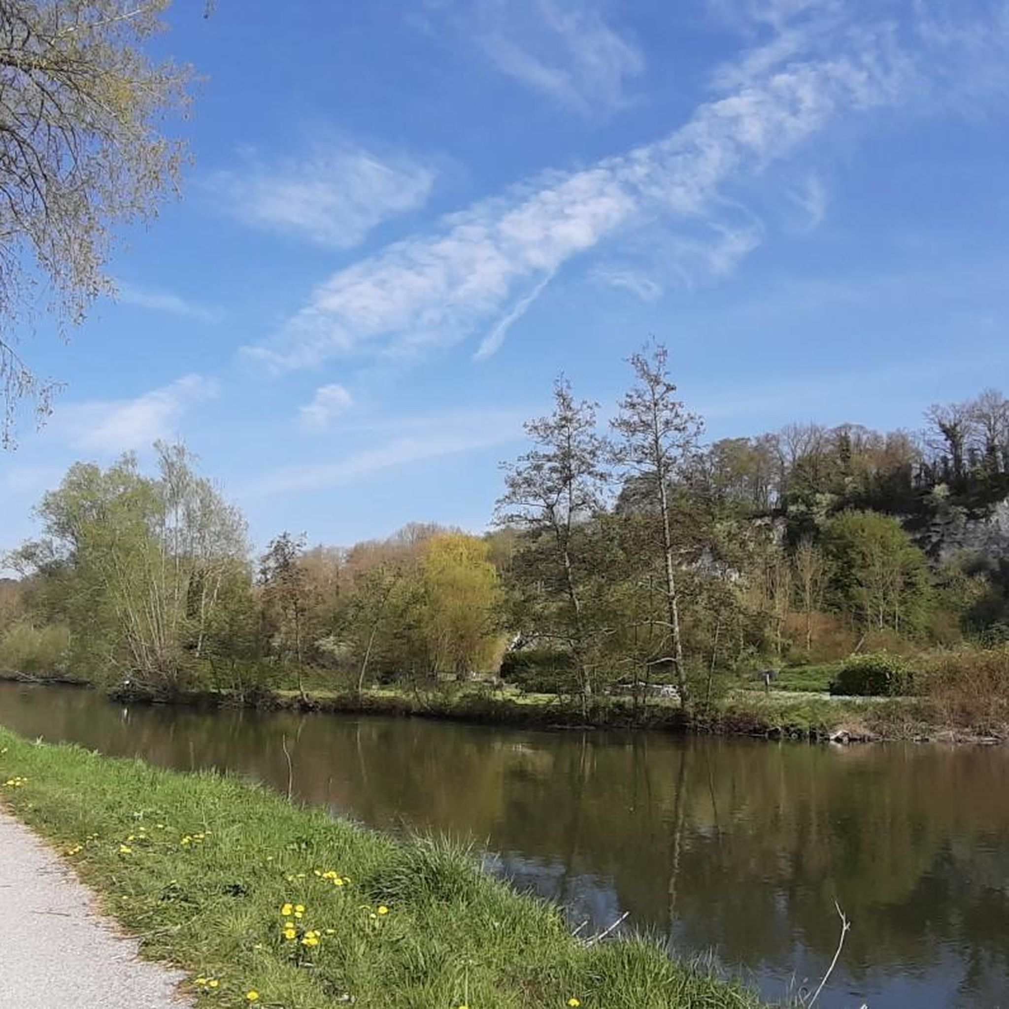
Beautiful surroundings with rapids
0
0


It's a pity that many of the milestones were damaged.
0
0


take a right and a nice little detour
0
0
Frequently Asked Questions
How many touring cycling routes are available around Mouflers?
There are nearly 100 touring cycling routes around Mouflers, offering a wide range of options for different skill levels. You'll find 31 easy routes, 47 moderate routes, and 15 more challenging options.
What are the typical distances and elevation gains for touring routes in Mouflers?
Routes vary significantly. For example, the Picnic Area by the Canal – Chateau Picquigny loop from L'Étoile is an easy 18.0 miles (29.0 km) with about 75 meters of elevation gain. More moderate routes like the Naours Underground City loop from Saint-Ouen cover around 22.1 miles (35.5 km) with approximately 375 meters of ascent. The region's routes generally follow river valleys and canals, providing mostly gentle gradients, though some moderate options include rolling terrain.
Are there family-friendly touring cycling routes in Mouflers?
Yes, many of the routes in Mouflers are suitable for families, especially those that follow the canals and river valleys, which tend to be flatter and more accessible. The Picnic Area by the Canal – Chateau Picquigny loop from L'Étoile is an excellent easy option that passes by Chateau Picquigny.
Are there challenging touring cycling routes for experienced riders?
While many routes are gentle, there are options for more experienced riders. For instance, the Gravel – Picnic Area by the Canal loop from Flixecourt is a difficult 31.9-mile (51.5 km) route with over 340 meters of elevation gain, offering a more demanding experience.
When is the best time of year for touring cycling in Mouflers?
The spring and autumn months generally offer the most pleasant conditions for touring cycling in Mouflers, with milder temperatures and beautiful scenery. Summer can also be enjoyable, especially along the shaded canal paths, but be prepared for warmer weather. Winter cycling is possible, but some paths might be less maintained, and weather conditions can be unpredictable.
What can I see along the touring cycling routes in Mouflers?
The routes often feature scenic views of the Somme Valley and its waterways. You might encounter historical sites such as the Long Hydroelectric Power Plant, the charming Long Castle, and Pont-Rémy Castle. The Naours Underground City loop from Saint-Ouen specifically explores the area around the historic Naours Underground City.
Are there circular touring cycling routes available?
Yes, many of the touring cycling routes around Mouflers are circular, allowing you to start and end at the same point. Examples include the popular The Somme River – Around Long Lock loop from L'Étoile and the Les Hauts de Doullens loop from Surcamps.
What do other touring cyclists enjoy most about cycling in Mouflers?
The area is highly rated by the komoot community, with an average score of 4.5 stars from over 180 reviews. Cyclists often praise the peaceful river valleys, well-maintained canal paths, and the opportunity to explore the open countryside and historical sites at a relaxed pace.
Are there places to stop for refreshments along the routes?
Given the region's focus on river valleys and villages, you will often find small towns and villages along the routes where you can stop for refreshments. It's always a good idea to check your chosen route beforehand for specific amenities, but generally, opportunities for breaks are available.
Can I reach the cycling routes by public transport?
While Mouflers itself is a smaller locality, the wider region has some public transport connections. However, for direct access to many trailheads, especially those in more rural settings, personal transport is often more convenient. It's advisable to research specific bus or train connections to the starting points of your chosen routes.
Is parking available near the touring cycling routes?
Parking is generally available in the towns and villages that serve as starting points for many of the routes. For example, routes starting from L'Étoile or Saint-Ouen will have parking options within those communities, often near public spaces or designated parking areas.
Most popular attractions around Mouflers

Get inspired with the komoot mobile app


Explore more
Browse the best Cycling routes in other regions.
