The best road cycling routes around Prato-Di-Giovellina
4.7
(76)
1,369
riders
42
rides
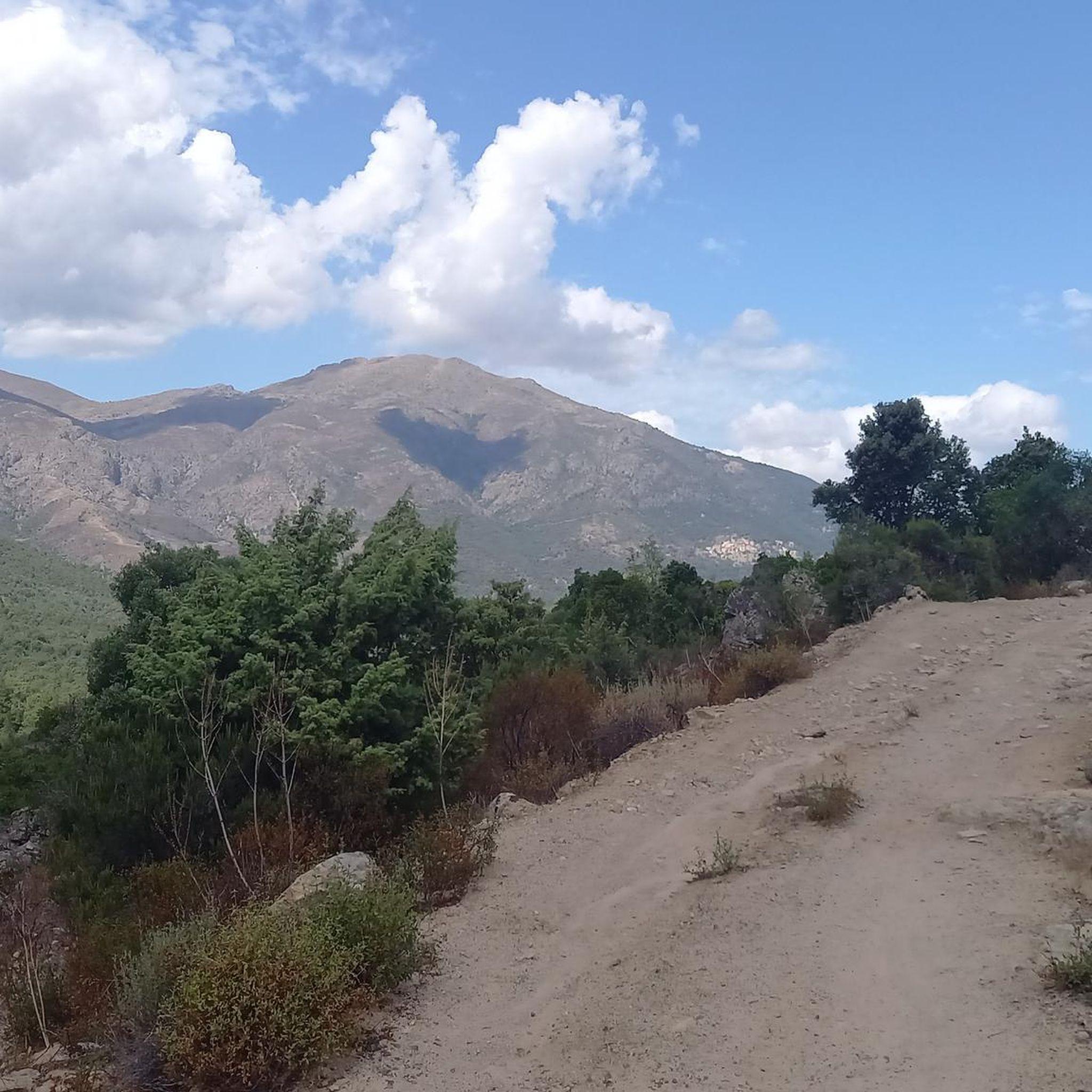
Road cycling routes around Prato-Di-Giovellina traverse a mountainous terrain in the heart of Corsica, characterized by significant elevation gains and diverse landscapes. The region features wild valleys, deep gorges, and mostly asphalted surfaces, providing varied challenges for cyclists. These routes often lead through areas with impressive views and natural features.
Best road cycling routes around Prato-Di-Giovellina
- The most popular road cycling route is To the top of Ragia Buia, a 30.3 miles (48.8 km) trail that takes 2 hours…
Last updated: July 12, 2026
4.8
(5)
18
riders
48.8km
02:42
1,040m
1,040m
Hard road ride. Very good fitness required. Mostly well-paved surfaces and easy to ride.
5.0
(1)
75
riders
83.5km
04:16
1,420m
1,420m
Hard road ride. Very good fitness required. Mostly well-paved surfaces and easy to ride.

Sign up for free
5.0
(2)
87
riders
95.8km
04:58
1,690m
1,690m
Hard road ride. Very good fitness required. Mostly well-paved surfaces and easy to ride.
4.0
(2)
66
riders
117km
06:23
2,350m
2,350m
Hard road ride. Very good fitness required. Mostly well-paved surfaces and easy to ride.
28
riders
77.0km
04:02
1,400m
1,400m
Hard road ride. Very good fitness required. Mostly well-paved surfaces and easy to ride.
Get access to more routes and recommendations from other explorers.
Sign up for free
Already have an account?
Our route recommendations are based on thousands of hikes, rides, and runs completed by other people on komoot.
Start today with a free account
Your next adventure awaits.
Login or Signup
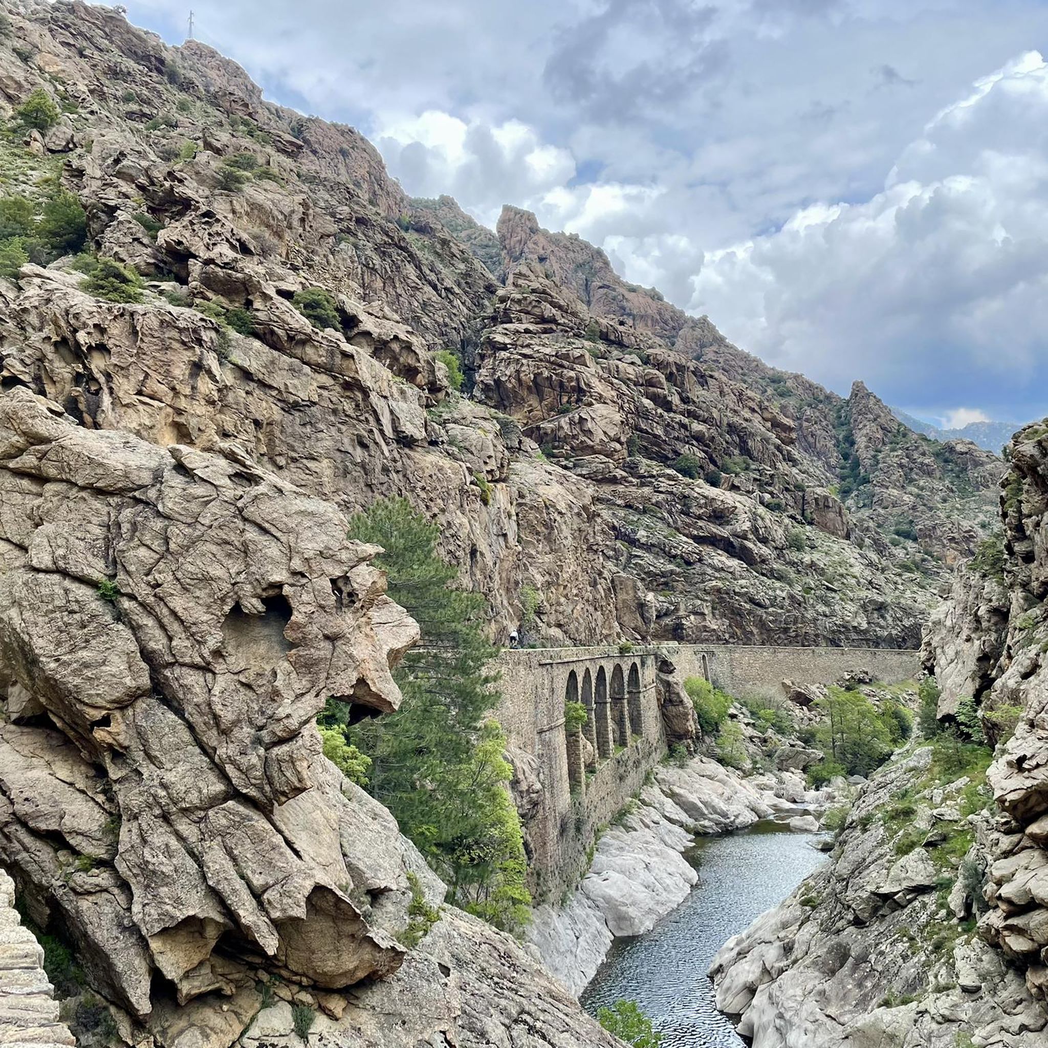
Tips from the Community

pretty here, very pretty
0
0

The village has had its Church of Saint Thomas since 1269, built by Andrea Malaspina. Amidst its arcades and numerous so-called "venelles," it houses a 16th-century image of the Virgin and Child, a 17th-century holy water font, and a marble statue of Saint Anthony the Baptist, discovered near Lozari. The latter, coveted by several communities, was therefore transported by oxen on a cart across the region and given to the village where the animals first stopped.
0
0

Beautiful route. Very quiet, only local traffic. Beautiful views. Fantastic descent after Bustanico with wide asphalt and gentle curves. 10 km of downhill riding at its finest.
0
0


Nice place for lunch break
0
0

Start of a very nice walk
0
0

very pretty here, very pretty
0
0

A somewhat untypical café for Corsica. Charming and funny.
0
0
Frequently Asked Questions
How many road cycling routes can I find around Prato-Di-Giovellina?
You can find nearly 40 road cycling routes around Prato-Di-Giovellina on komoot. These routes cater to various skill levels, with 14 moderate and 25 difficult options, ensuring a suitable challenge for most road cyclists.
What kind of terrain and elevation can I expect on road cycling routes in Prato-Di-Giovellina?
The region is characterized by its mountainous terrain, meaning most road cycling routes involve significant elevation gains. You'll find challenging climbs, with many routes featuring over 1000 meters of ascent. For example, the To the top of Ragia Buia route includes over 1000 meters of climbing over 48.8 km, while the Santa Regina Pass – Vergio Pass loop from Omessa offers over 1500 meters of elevation gain.
What are some notable natural features or landmarks I might see along the road cycling routes?
Road cycling routes often pass through areas of impressive natural beauty. You might encounter dramatic gorges like La Scala di Santa Regina Gorge, or stunning viewpoints such as Above Corte. The region is also known for its wild valleys and lush landscapes, offering constant scenic backdrops.
Are there any circular road cycling routes available?
Yes, many road cycling routes in Prato-Di-Giovellina are designed as loops, allowing you to start and finish in the same location. Examples include the Santa Regina Pass – Vergio Pass loop from Omessa and the Col Sant'Antone – Bocca d'Ominada loop from Ponte Leccia, which are popular choices among local cyclists.
What do other road cyclists say about the routes in Prato-Di-Giovellina?
The road cycling routes in Prato-Di-Giovellina are highly rated by the komoot community, with an average score of 4.7 stars from over 50 reviews. Cyclists often praise the challenging climbs, the breathtaking views of the mountainous landscape, and the mostly asphalted surfaces that make for a smooth riding experience.
What is the best time of year for road cycling in Prato-Di-Giovellina?
While specific data isn't provided, Corsica's climate generally makes spring (April-June) and autumn (September-October) ideal for road cycling. During these seasons, temperatures are milder, and the weather is typically more stable than in the peak summer heat or winter cold, offering comfortable conditions for tackling the region's challenging routes.
Are there any specific attractions or points of interest near the cycling routes?
Beyond the natural beauty, you can find several points of interest. The historic town of Corte, just 13 km from Prato-Di-Giovellina, offers a citadel and views of two valleys. You might also encounter natural formations like The Arch of Corte or the Scala di Santa Regina Stone Bridge, which are often close to or along cycling paths.
Are there any options for less experienced road cyclists?
While the region is known for its challenging terrain, there are 14 routes classified as 'moderate' difficulty. These routes still offer the beautiful scenery of Corsica but with potentially less extreme elevation gains compared to the 'difficult' options. It's always advisable to check the route details, including distance and elevation, before setting out.
Where can I find parking for road cycling routes in Prato-Di-Giovellina?
Specific parking locations are not detailed in the route information, but for routes starting from towns like Omessa or Ponte Leccia, you can typically find public parking areas. It's recommended to check local maps or community forums for the most convenient and secure parking spots near your chosen starting point.
Are there any cafes or places to stop for refreshments along the routes?
The region around Prato-Di-Giovellina features traditional villages and towns. While specific cafes are not listed, you can often find small shops or cafes in these settlements, especially in larger towns like Corte, which is a central hub. Planning your route to pass through these villages can provide opportunities for refreshments and breaks.
What are the longest and most challenging road cycling routes in the area?
For those seeking a significant challenge, the Belgodère – View of Losari and Belgodère loop from Ponte Leccia is a demanding option, spanning over 116 km with more than 2300 meters of elevation gain. Another challenging route is the Croce d'Arbitro Pass – Asco Gorges loop from Francardo, covering 95.7 km with over 1600 meters of ascent.
Most popular attractions around Prato-Di-Giovellina

Get inspired with the komoot mobile app


Explore more
Browse the best Road cycling routes in other regions.
