The best walks and hikes around Prato-Di-Giovellina
4.3
(302)
1,189
hikers
33
hikes
Hiking around Prato-Di-Giovellina offers diverse terrain within Haute-Corse, situated on the foothills of the Monte Cinto massif and east of the Popolasca needles. The region is characterized by its mountainous landscape, featuring numerous valleys that open towards the north, east, and south, fed by streams contributing to the Golo River. This area provides a wild and rugged environment for exploration, with elevations ranging from valley floors to the lower slopes of significant mountain formations.
Best hiking trails around Prato-Di-Giovellina
- The…
Last updated: August 22, 2026
3.9
(14)
51
hikers
9.08km
02:36
210m
210m
Moderate hike. Good fitness required. Easily-accessible paths. Suitable for all skill levels.
4.2
(31)
92
hikers
6.67km
01:57
190m
190m
Easy hike. Great for any fitness level. Easily-accessible paths. Suitable for all skill levels.

Sign up for free
3.6
(9)
31
hikers
10.1km
03:04
300m
300m
Moderate hike. Good fitness required. Easily-accessible paths. Suitable for all skill levels.
4.7
(6)
23
hikers
12.2km
03:44
420m
420m
Moderate hike. Good fitness required. Easily-accessible paths. Suitable for all skill levels.
2.0
(1)
13
hikers
2.48km
00:40
30m
30m
Easy hike. Great for any fitness level. Easily-accessible paths. Suitable for all skill levels.
Get access to more routes and recommendations from other explorers.
Sign up for free
Already have an account?
Our route recommendations are based on thousands of hikes, rides, and runs completed by other people on komoot.
Start today with a free account
Your next adventure awaits.
Login or Signup
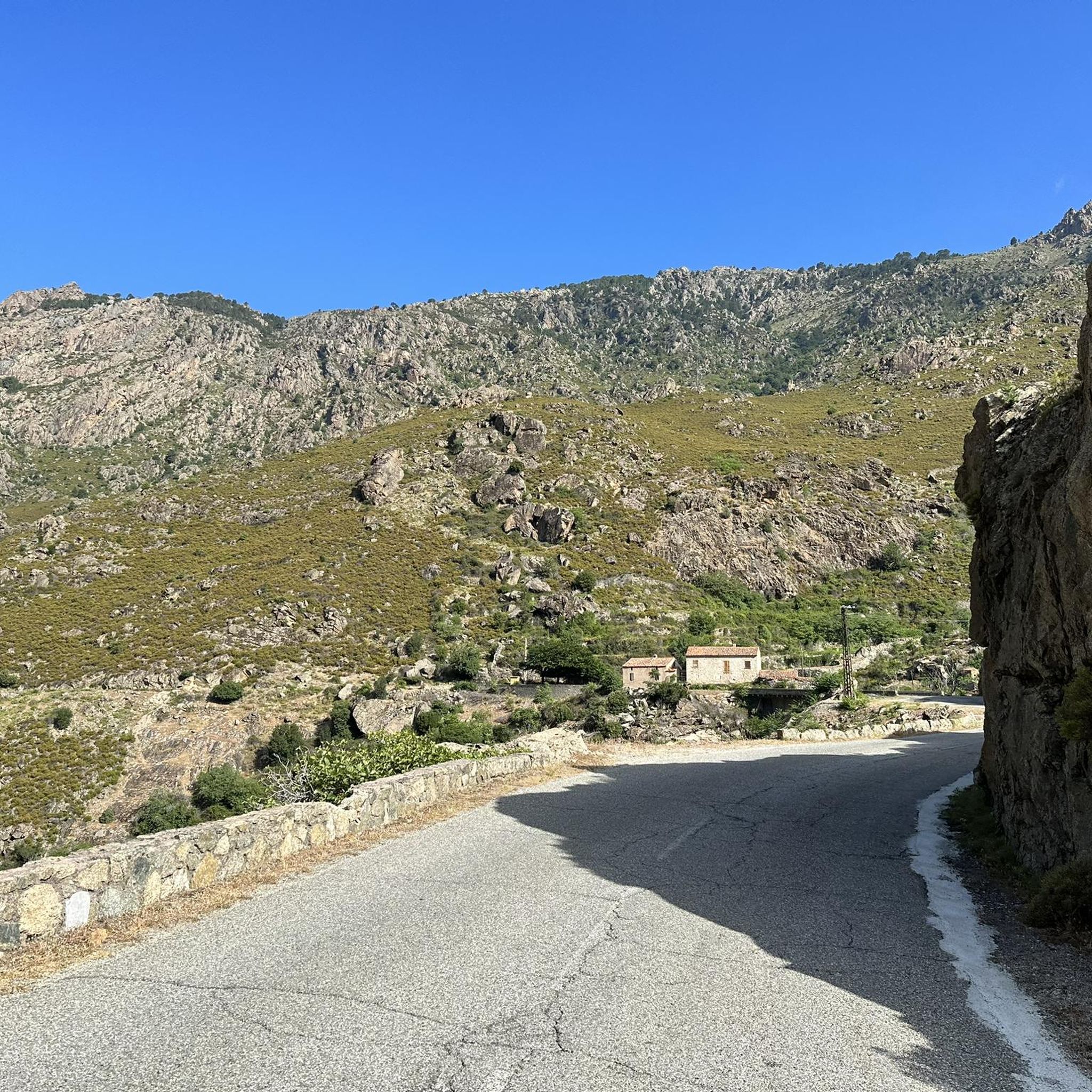
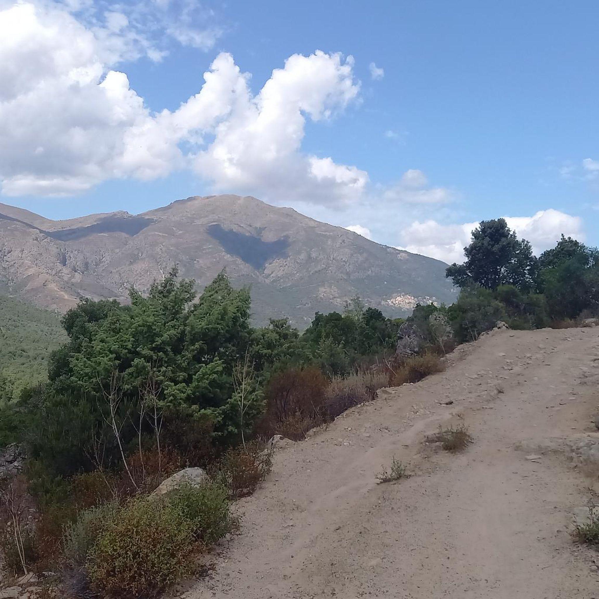
Tips from the Community

This farm has 2-3 free-roaming dogs, try to go around them if possible, they can be a bit intrusive.
0
0
The path is beautiful, the rubbish is still there. Unfortunately when we walked there were also 3 aggressive dogs and we were forced to change our route.
0
0

Access via a campsite. But it is also possible from the outside.
0
0

walking shoes are important to do well ....
0
0

Beautiful pitches (reservations recommended for campers> 5m), lots of natural shade, first-class baguette. Pleasant, rather young audience, lots of children. Also a restaurant visited by locals. Motorhome, 2 adults and electricity € 28.50 / night.
1
0
There are three quite well-visited swimming pools here, the bottom one is the most beautiful, deepest and lonely (not visible from the parking lot). A little further you will find a lonely small sandy beach (at least Monday morning) with shade. Here, small children can keep their feet clean. Bathing shoes highly recommended!
1
0
Frequently Asked Questions
How many hiking trails are available in Prato-Di-Giovellina?
There are over 25 hiking routes in Prato-Di-Giovellina, offering a diverse range of experiences from easy walks to challenging mountain treks. The komoot community has explored these trails over 900 times, providing valuable insights and ratings.
What makes hiking in Prato-Di-Giovellina unique?
Hiking in Prato-Di-Giovellina offers a unique blend of rugged natural beauty and historical intrigue. The region is characterized by its mountainous landscape, deep valleys carved by streams feeding the Golo River, and the dramatic backdrop of the Popolasca Needles and Monte Cinto massif. You'll find a wild, arid environment, often leading to historical sites like the ruins of Serravalle Castle, adding a cultural dimension to your outdoor adventure.
Are there easy hiking trails suitable for beginners or families?
Yes, Prato-Di-Giovellina offers several easy hiking trails perfect for beginners or families. For instance, the Hiking loop from Tizzarella is an easy 1.5-mile (2.4 km) path, offering a gentle walk. Another accessible option is the Bathing area by the bridge – Tizarella Campsite loop from Petra e legnu, which is just under 3 miles (4.6 km) and also rated easy.
Are there challenging hikes for experienced trekkers in Prato-Di-Giovellina?
For experienced trekkers seeking a challenge, Prato-Di-Giovellina provides routes with significant elevation gain and longer distances. The Info board – Tizarella Campsite loop from Moltifao is a difficult 10.9-mile (17.6 km) trail that takes approximately 5 hours to complete, leading through varied and demanding terrain.
What kind of natural features or landmarks can I expect to see on the trails?
The trails around Prato-Di-Giovellina lead to a variety of natural features and historical landmarks. You can explore the dramatic valleys and streams that feed the Golo River. Nearby, you'll find impressive natural monuments like The Arch of Corte and the stunning La Scala di Santa Regina Gorge. The region also features historical sites such as the ruins of Serravalle Castle, offering panoramic views.
Are there any circular hiking routes available?
Yes, many of the trails in Prato-Di-Giovellina are designed as circular routes, allowing you to start and end at the same point. Examples include the Tizarella Campsite – Asco-Tal in der Abenddämmerung loop from Tizzarella, a moderate 6.3-mile (10.1 km) trail, and the Tizarella Campsite – Bocca Tiagna loop from Tizzarella, which is a moderate 7.3-mile (11.7 km) option.
What do other hikers enjoy most about the trails in Prato-Di-Giovellina?
The trails in Prato-Di-Giovellina are highly rated by the komoot community, with an average score of 4.3 stars from over 200 reviews. Hikers often praise the region's wild and untouched nature, the stunning mountainous scenery, and the sense of solitude offered by its diverse terrain. The blend of challenging ascents and serene valley walks is frequently highlighted.
Is Prato-Di-Giovellina suitable for dog-friendly hiking?
While specific regulations for dogs on trails can vary, the wild and natural character of Prato-Di-Giovellina generally makes it a welcoming area for hiking with dogs. It's always recommended to keep dogs on a leash, especially in areas with livestock or wildlife, and to carry enough water for both yourself and your pet, given the arid nature of some parts of the region.
Are there opportunities for wild swimming or natural pools along the hiking routes?
Yes, the region's network of valleys and streams, particularly those feeding the Golo River, offers opportunities for refreshing dips. Nearby attractions include Natural Pools on the Fiume Tavignano and Tavignano Natural Pools, which are popular spots for wild swimming after a hike. Always check local conditions and safety before entering the water.
What is the best time of year to visit Prato-Di-Giovellina for hiking?
The best time to visit Prato-Di-Giovellina for hiking is typically during spring (April to June) and autumn (September to October). During these seasons, the weather is milder, and the landscapes are vibrant. Summers can be very hot and arid, with significant sun exposure, making early morning or late afternoon hikes preferable. Winter hiking is possible but may involve colder temperatures and potentially snow at higher elevations.
Where can I find parking for hiking trails in Prato-Di-Giovellina?
Parking availability varies by trailhead. Many routes, especially those starting from villages or popular campsites like Tizzarella, will have designated parking areas. It's advisable to check the specific route details on komoot for information on starting points and parking facilities before you set out.
Are there any amenities like cafes or accommodation near the hiking areas?
While Prato-Di-Giovellina itself is a quiet commune, nearby villages and towns like Moltifao and Asco, or the larger town of Corte (a known hiking hub), offer amenities such as cafes, restaurants, and accommodation options. It's recommended to plan your stops for provisions or overnight stays in these more populated areas.
Most popular attractions around Prato-Di-Giovellina

Get inspired with the komoot mobile app


Explore more
Browse the best Hikes in other regions.
