The best running trails around Saint-Bonnet-De-Condat
5.0
(3)
444
runners
51
runs
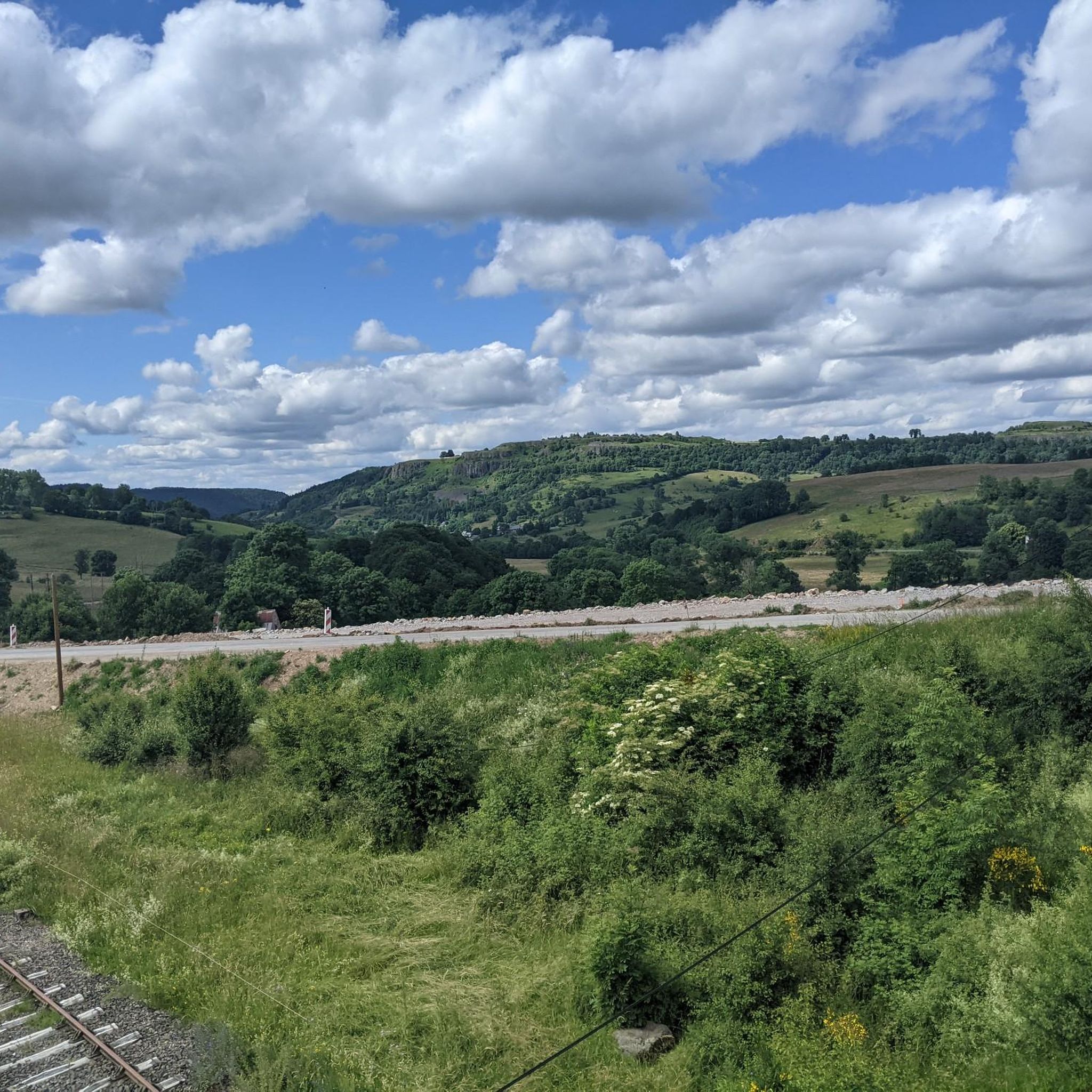
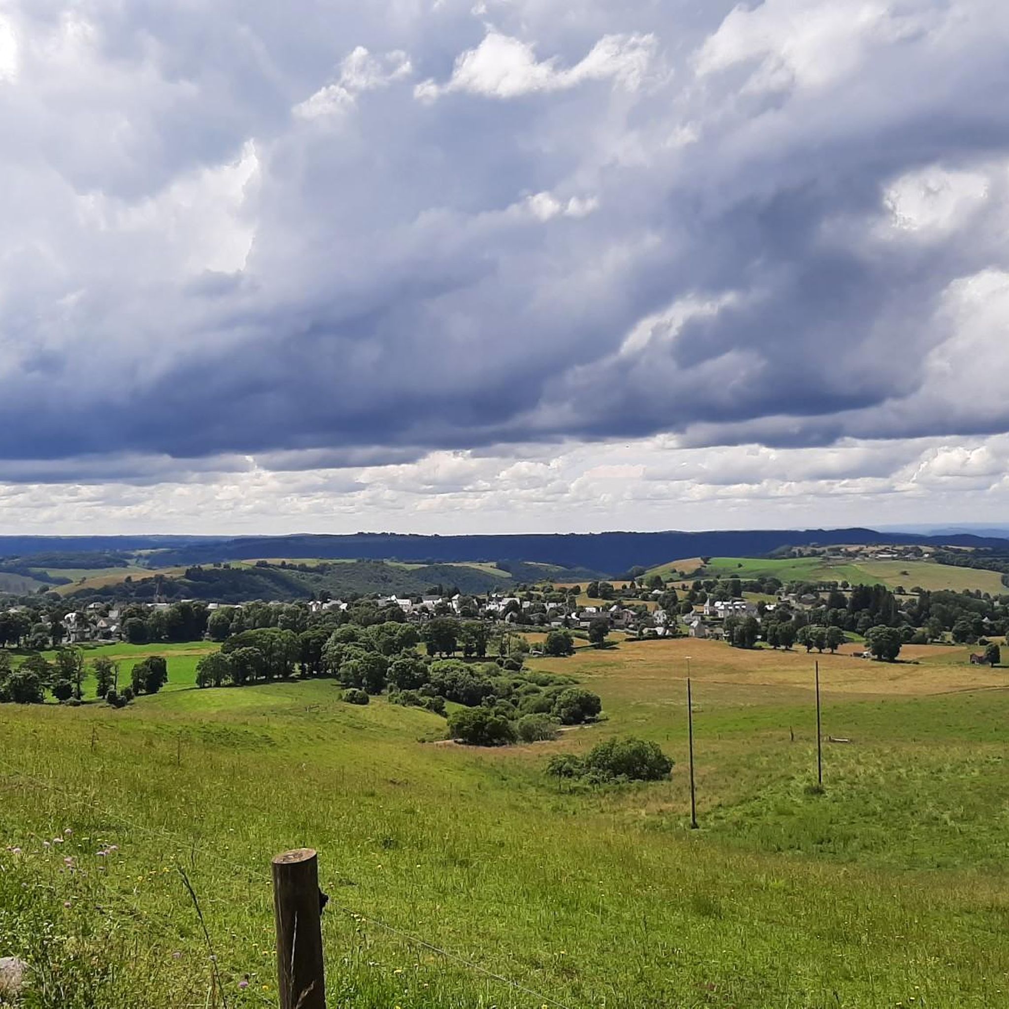
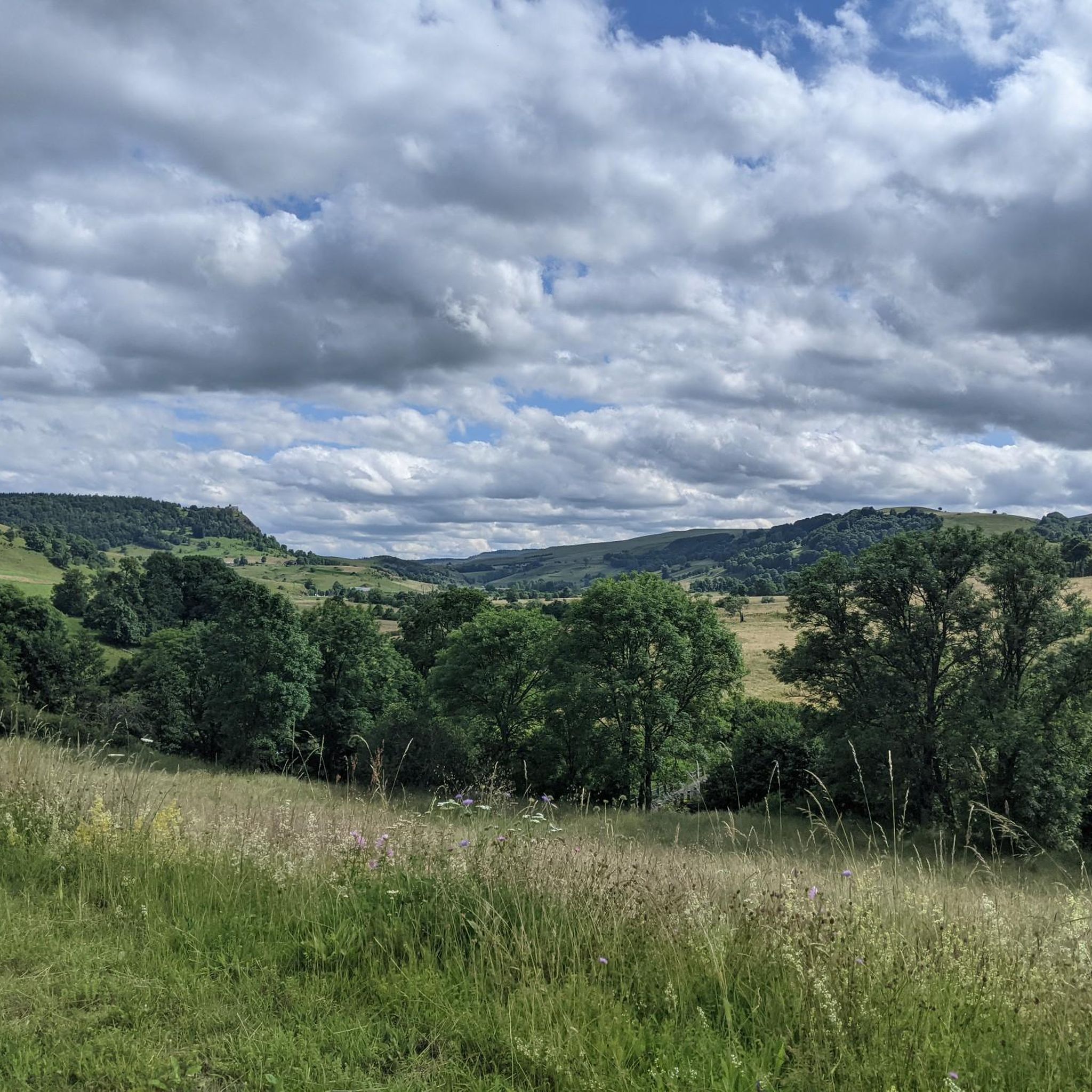
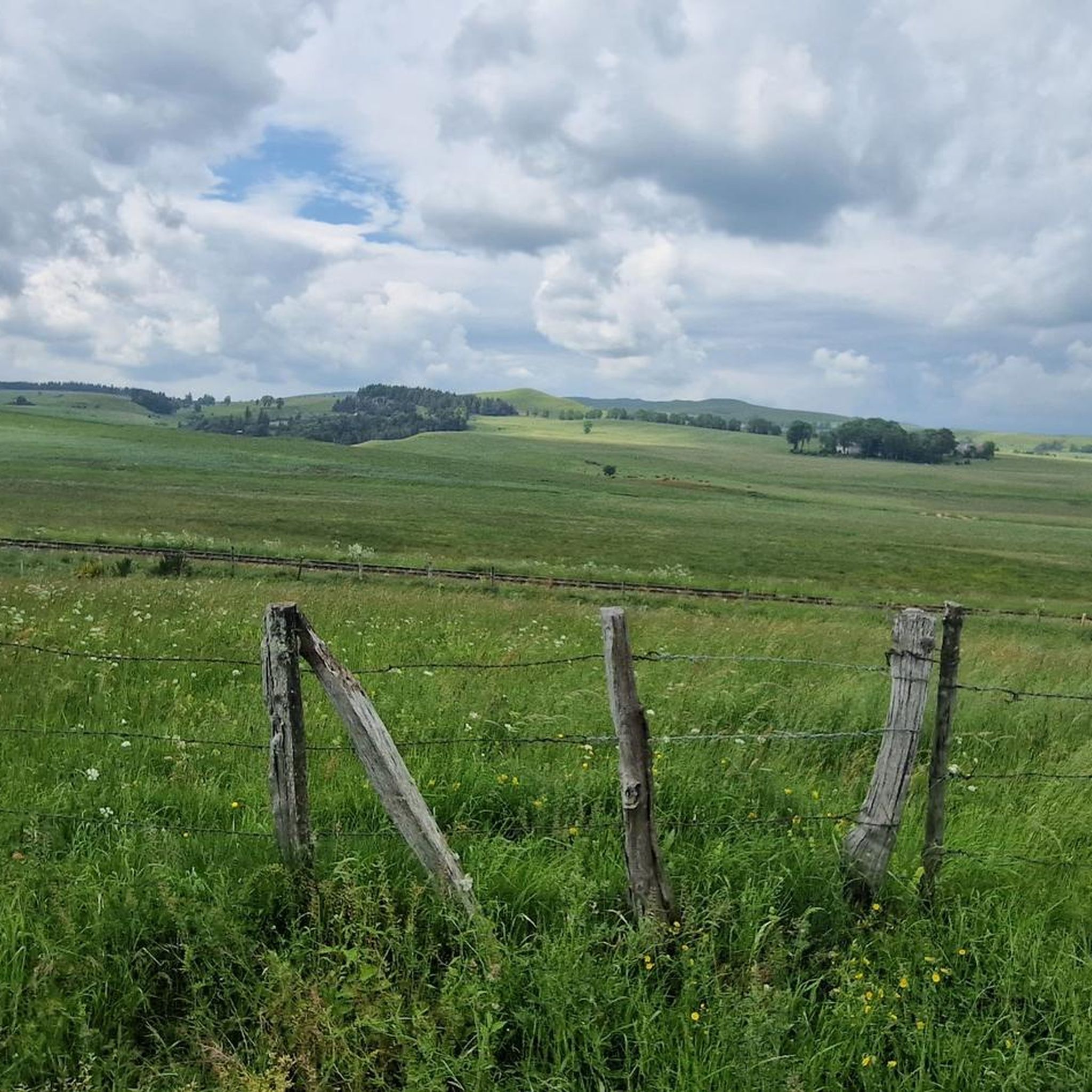
Jogging routes around Saint-Bonnet-De-Condat traverse a landscape shaped by its volcanic origins in the Cantal department of south-central France. The region features diverse topography, including river gorges, waterfalls, and hills within the Monts du Cézallier. Running trails often offer views of basaltic structures and the broader Parc Naturel Régional des Volcans d'Auvergne.
Best jogging routes around Saint-Bonnet-De-Condat
- The most popular jogging route is Saint-Bonnet-de-Condat – Saint-Bonnet-de-Condat loop from Marcenat, a 24.4 miles (39.3 km) trail that takes about 4…
Last updated: June 29, 2026
58
runners
38.0km
04:36
840m
850m
Hard run. Very good fitness required. Mostly paved surfaces. Suitable for all skill levels.
5.0
(1)
38
runners
12.7km
01:34
310m
310m
Hard run. Very good fitness required. Mostly paved surfaces. Suitable for all skill levels.

Sign up for free
14
runners
5.30km
00:38
120m
120m
Moderate run. Good fitness required. Mostly paved surfaces. Suitable for all skill levels.
5
runners
10.5km
01:07
150m
150m
Moderate run. Good fitness required. Mostly paved surfaces. Suitable for all skill levels.
5
runners
11.4km
01:12
170m
170m
Moderate run. Good fitness required. Mostly paved surfaces. Suitable for all skill levels.
Get access to more routes and recommendations from other explorers.
Sign up for free
Already have an account?
Our route recommendations are based on thousands of hikes, rides, and runs completed by other people on komoot.
Start today with a free account
Your next adventure awaits.
Login or Signup

Tips from the Community

Small town with church and campsite, bar unfortunately closed on Whit Monday.
0
0

Saint-Bonnet-de-Condat is a typical rural town of Cézalliers. Behind its bucolic appearance, you can observe the surprising geology that overlooks the village. In others, to the north of the town, a cliff of volcanic organs rises to the sky. Despite its hundred inhabitants, you will find a grocery store, a bar and a campsite.
0
0
In the bucolic village of Saint-Saturnin, the catholic church bearing the eponymous name stands proudly in the town of the village. Registered on the list of historical monuments since 1986, its construction dates back to the 12th century. In the heart of the large plateau of Cézalliers, this religious building will be neither more nor less than a stopover to be pampered during the harsh summers.
0
0
The Saint-Blaise de Marcenat church was built between the 12th and 13th centuries. It retains only rare original elements of its construction, typical of Romanesque architecture, within its nave. It has been on the list of historical monuments since 1992.
0
0

Small village in the heart of the Monts du Cantal, located along the Gorges de la Santoire.
2
0

Nice village in the Santoire valley!
1
0
Frequently Asked Questions
How many running routes are available around Saint-Bonnet-de-Condat?
There are over 40 diverse running routes around Saint-Bonnet-de-Condat, catering to various skill levels. These include 2 easy routes, 29 moderate routes, and 13 difficult routes, ensuring options for every runner.
What kind of terrain can I expect on the jogging trails in Saint-Bonnet-de-Condat?
The terrain around Saint-Bonnet-de-Condat is largely shaped by its volcanic origins, offering a varied landscape. You'll encounter serene river gorges, striking basaltic structures, and hills within the Monts du Cézallier. Routes often feature views of the broader Parc Naturel Régional des Volcans d'Auvergne, providing a mix of challenging ascents and gentler paths.
Are there any easy or beginner-friendly running routes in the area?
Yes, Saint-Bonnet-de-Condat offers 2 easy routes perfect for beginners or those seeking a relaxed jog. Additionally, there are 29 moderate routes that provide a good balance of challenge and accessibility. For example, the Saint-Blaise Church loop from Marcenat is a moderate 3.4-mile path that can be completed in about 38 minutes.
Can I find routes with scenic viewpoints or natural landmarks?
Absolutely. The region is rich in natural beauty. Many routes offer expansive views of the Monts du Cantal and Lac de Jolan, providing panoramic vistas. You can also discover impressive natural landmarks such as the View of Mont Chamaroux and the Cézallier mountains, which are popular highlights for runners.
Are there any waterfalls I can visit while jogging?
Yes, the area boasts beautiful waterfalls that make for excellent jogging destinations. The magnificent Saillant Waterfall, where the Bonjon stream cascades over volcanic organs, is a spectacular sight. Another beautiful option is the Cascade des Veyrines, offering more natural beauty to explore.
Are the running trails around Saint-Bonnet-de-Condat suitable for families?
While specific family-friendly routes are not explicitly detailed, the presence of easy and moderate trails suggests options suitable for families. The varied terrain and scenic beauty, including waterfalls and viewpoints, can make for an engaging outdoor experience for all ages. It's advisable to check the difficulty and length of individual routes to match your family's fitness level.
Can I bring my dog on the jogging routes?
Generally, trails in natural areas like Saint-Bonnet-de-Condat are dog-friendly, especially if dogs are kept on a leash. However, it's always recommended to check local regulations or specific route descriptions for any restrictions, particularly in protected natural parks or private lands. The region's extensive trail networks offer plenty of space for you and your canine companion to enjoy.
Are there circular running routes available?
Yes, many of the running routes around Saint-Bonnet-de-Condat are circular, offering convenient starting and ending points. Examples include the Saint-Saturnin Church loop from Saint-Saturnin, a 6.5-mile trail, and the Saint-Saturnin Church loop from Ségur-les-Villas, which is 7 miles long.
What do other runners say about the trails in Saint-Bonnet-de-Condat?
The running routes in Saint-Bonnet-de-Condat are highly rated by the komoot community, with an average score of 4.6 stars from around 6 reviews. Over 450 runners have used komoot to explore the varied terrain, often praising the stunning volcanic landscapes, serene river gorges, and the diverse options available for different ability levels.
What is the best time of year to go running in Saint-Bonnet-de-Condat?
Saint-Bonnet-de-Condat is an excellent destination for outdoor enthusiasts. While jogging is enjoyable year-round, the spring and autumn months often offer the most pleasant temperatures and vibrant scenery. Summer provides lush green landscapes, though it can be warmer. Winter running is possible, but some trails might be affected by snow or ice, especially at higher elevations in the Monts du Cézallier.
Are there any longer, more challenging running routes for experienced runners?
Yes, for experienced runners seeking a challenge, Saint-Bonnet-de-Condat offers 13 difficult routes. The most popular long-distance option is the Saint-Bonnet-de-Condat – Saint-Bonnet-de-Condat loop from Marcenat, a demanding 24.4-mile trail with significant elevation gain, typically taking about 4 hours and 45 minutes to complete.
Where can I find parking for the running routes?
While specific parking locations aren't detailed for every route, many trails around Saint-Bonnet-de-Condat, especially those starting from villages like Marcenat or Saint-Saturnin, typically have designated parking areas nearby. It's advisable to check the starting points of individual routes on komoot for more precise parking information.
Most popular routes around Saint-Bonnet-De-Condat
Most popular attractions around Saint-Bonnet-De-Condat

Get inspired with the komoot mobile app


Explore more
Browse the best Running Trails & Routes in other regions.
