The best gravel rides around Saint-Bonnet-De-Condat
4.6
(11)
121
riders
11
rides
Gravel biking around Saint-Bonnet-De-Condat offers routes through varied terrain, characterized by rolling hills and forested areas. The region features a network of paths suitable for gravel cycling, often traversing rural landscapes and offering views of the surrounding countryside. These trails frequently follow quiet country roads and forest tracks, providing a mix of surfaces for gravel bikes. The area's topography includes moderate ascents and descents, contributing to the overall challenge of the gravel bike trails Saint-Bonnet-De-Condat.
Best gravel bike trails around…
Last updated: July 16, 2026
5.0
(2)
22
riders
68.3km
05:14
1,500m
1,500m
Hard gravel ride. Very good fitness required. Mostly paved surfaces. Suitable for all skill levels.
4.5
(2)
13
riders
61.4km
04:13
1,150m
1,150m
Hard gravel ride. Very good fitness required. Mostly paved surfaces. Suitable for all skill levels.

Sign up for free
4.3
(3)
19
riders
58.4km
04:27
1,280m
1,280m
Hard gravel ride. Very good fitness required. Mostly paved surfaces. Suitable for all skill levels.
11
riders
64.6km
05:08
1,220m
1,220m
Hard gravel ride. Very good fitness required. Mostly paved surfaces. Suitable for all skill levels.
22
riders
64.5km
05:06
1,110m
1,110m
Hard gravel ride. Very good fitness required. Mostly paved surfaces. Suitable for all skill levels.
Get access to more routes and recommendations from other explorers.
Sign up for free
Already have an account?
Our route recommendations are based on thousands of hikes, rides, and runs completed by other people on komoot.
Start today with a free account
Your next adventure awaits.
Login or Signup
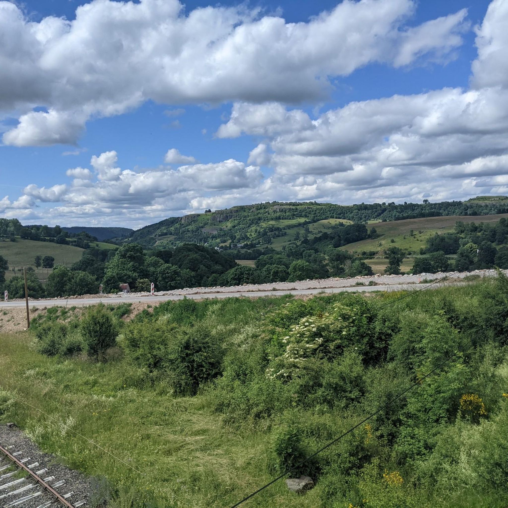
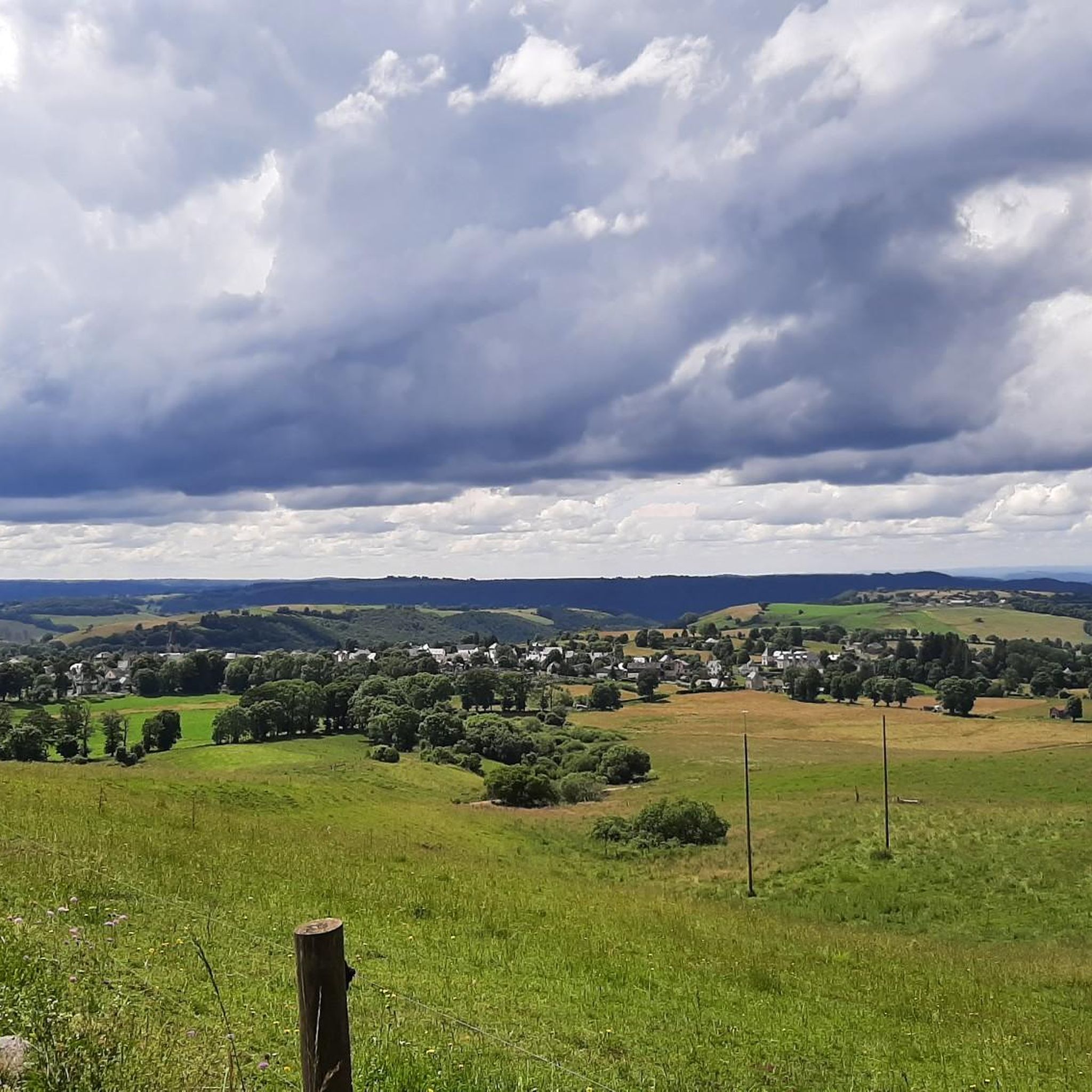
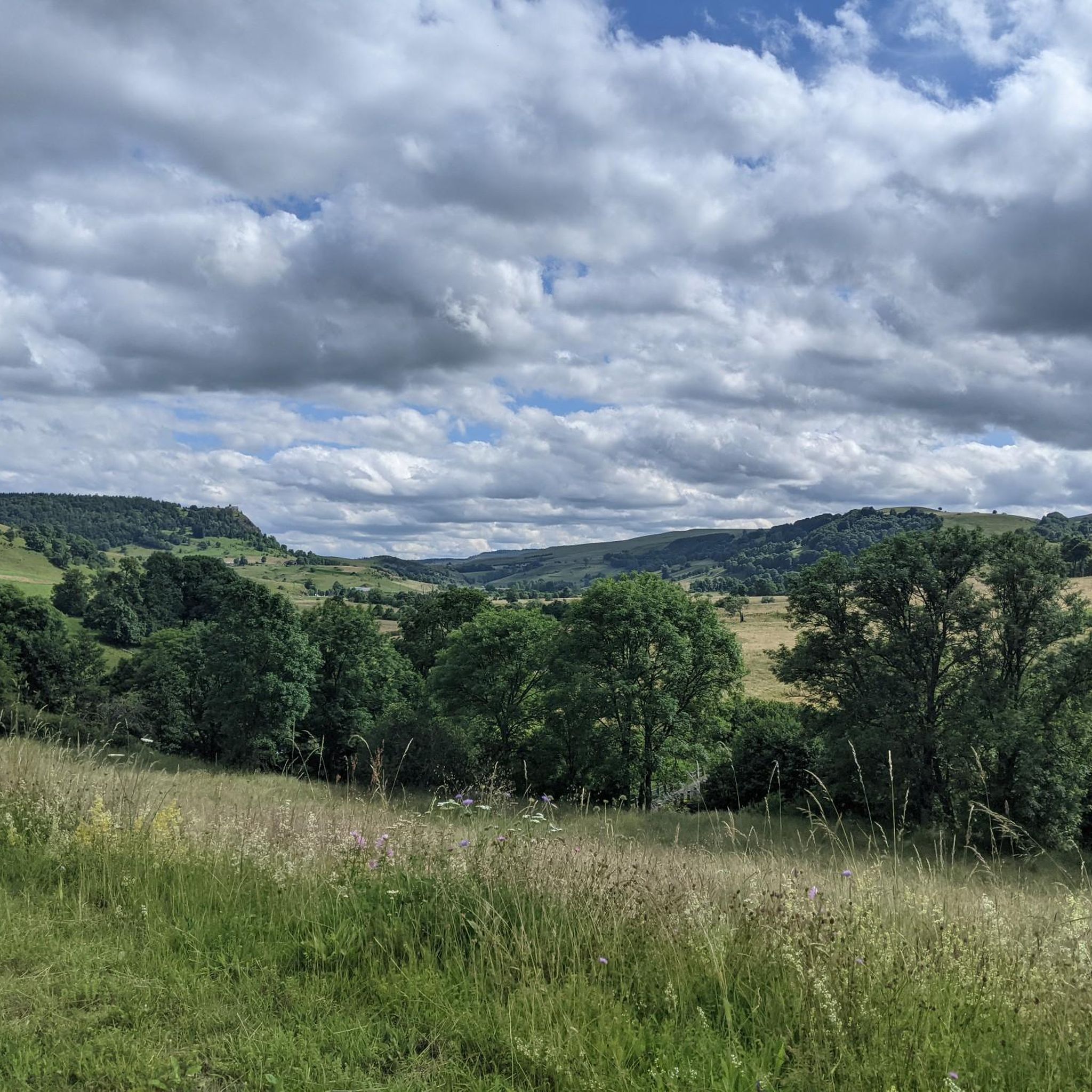
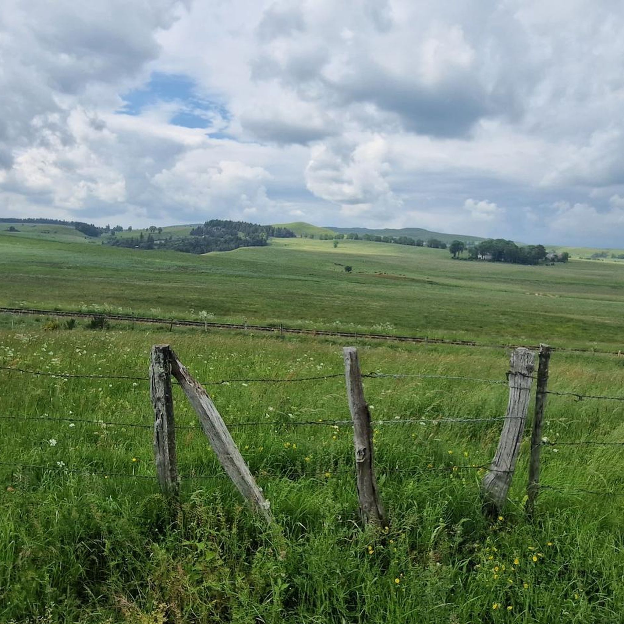
Tips from the Community

Very beautiful route The Volcanoes
0
0

The view is magnificent and the path is smooth.
0
0
very pretty pass typical of Cezallier
1
0


Superb climb on gravel path. Nestled in the middle of green expanses, this path offers a breathtaking panorama!
0
0

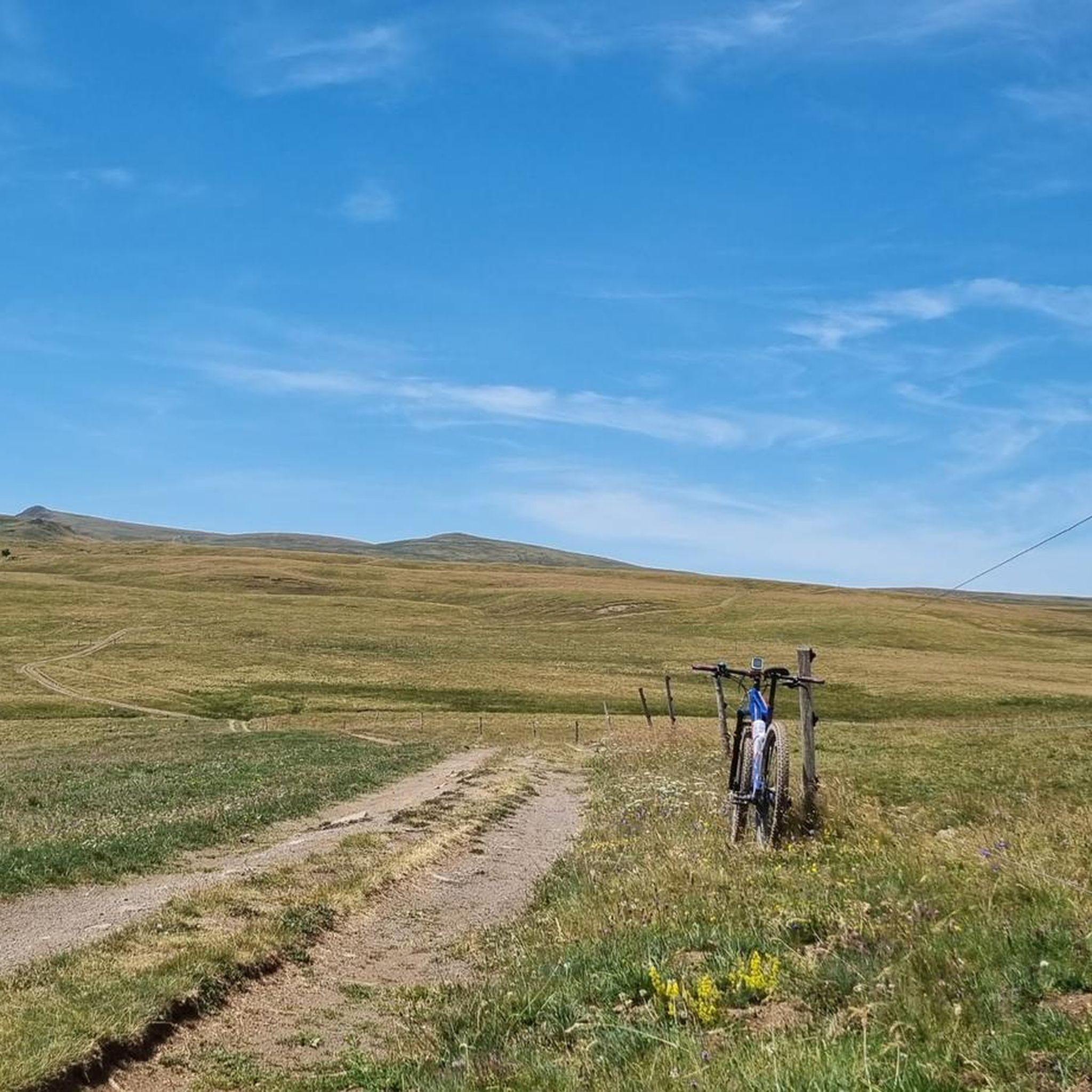
Rather rolling gravel track (there is a small part of bitumen in the middle) which offers a magnificent panorama of the summer pastures with the Monts du Cantal on the horizon. Access from the col de chamaroux is a little more technical in gravel but it is quite playable. The reward at the top is a postcard landscape!
0
0
Rather rolling gravel track (there is a small part of bitumen in the middle) which offers a magnificent panorama of the summer pastures with the Monts du Cantal on the horizon. A postcard !
0
0
Frequently Asked Questions
What is the general difficulty level of gravel bike trails in Saint-Bonnet-De-Condat?
The gravel bike trails around Saint-Bonnet-De-Condat are primarily suited for experienced riders. Out of 11 available routes, 9 are classified as difficult, and 2 are moderate. This indicates a challenging terrain with significant elevation changes.
What are the typical lengths and durations of gravel bike routes in this region?
Gravel bike routes in Saint-Bonnet-De-Condat are generally long, ranging from approximately 39 miles (63 km) to over 71 miles (115 km). Depending on the route and your pace, these tours can take anywhere from 5 to 10 hours to complete.
Where do the gravel bike trails in Saint-Bonnet-De-Condat typically start?
Many gravel bike trails in the region commonly start from towns such as Allanche, Pradiers, or Landeyrat. These locations serve as convenient access points to the network of routes.
Are there any beginner-friendly gravel bike trails in Saint-Bonnet-De-Condat?
While most routes are challenging, there are two moderate gravel bike trails available in Saint-Bonnet-De-Condat. These might be more suitable for riders looking for a less strenuous experience compared to the predominantly difficult options.
Are there any circular gravel bike routes available?
Yes, many of the gravel bike routes in Saint-Bonnet-De-Condat are designed as loops. For example, the Montée Paillasseyre – Fortunier Pass loop from Allanche and the Fortunier Pass – Montée Paillasseyre loop from Pradiers are popular circular options, allowing you to start and finish in the same location.
What kind of terrain can I expect on the gravel bike trails?
The region is characterized by rolling hills, dense woodlands, and open rural landscapes. You'll encounter a mix of surfaces, including quiet country roads and forest tracks, with moderate ascents and descents throughout the routes.
What natural attractions can I see along the gravel bike trails?
The trails offer opportunities to see various natural attractions. You might encounter viewpoints like the View of Mont Chamaroux and the Cézallier mountains, or discover beautiful waterfalls such as the Cascade des Veyrines and the Saillant Waterfall. Some routes also pass by natural lakes, like the one featured in the Lac du Pêcher – Lake du Pêcher loop from Allanche.
What do other gravel bikers enjoy the most about gravel biking in Saint-Bonnet-De-Condat?
The area is highly rated by the komoot community, with an average score of 4.5 stars from over 3 reviews. Riders often praise the varied terrain, which includes forested sections and open countryside, and the challenging nature of the routes through rural landscapes.
Are there any routes that offer views of lakes?
Yes, some routes provide scenic views of lakes. For instance, the Route du Jolan – View of Lake Jolan loop from Allanche offers vistas of Lake Jolan, and the Lac du Pêcher – Lake du Pêcher loop from Allanche takes you past natural lakes.
Is there a particularly long and challenging gravel bike route for advanced riders?
For advanced riders seeking a significant challenge, the Lake Montcineyre – Lac Pavin loop from Landeyrat is notable. This difficult route spans over 71 miles (115 km) and features an elevation gain of nearly 2100 meters, making it the longest and one of the most demanding options in the area.
Most popular routes around Saint-Bonnet-De-Condat
Most popular attractions around Saint-Bonnet-De-Condat

Get inspired with the komoot mobile app


Explore more
Browse the best Gravel rides in other regions.
