The best walks and hikes around Montagny-Lès-Buxy
4.6
(175)
828
hikers
15
hikes
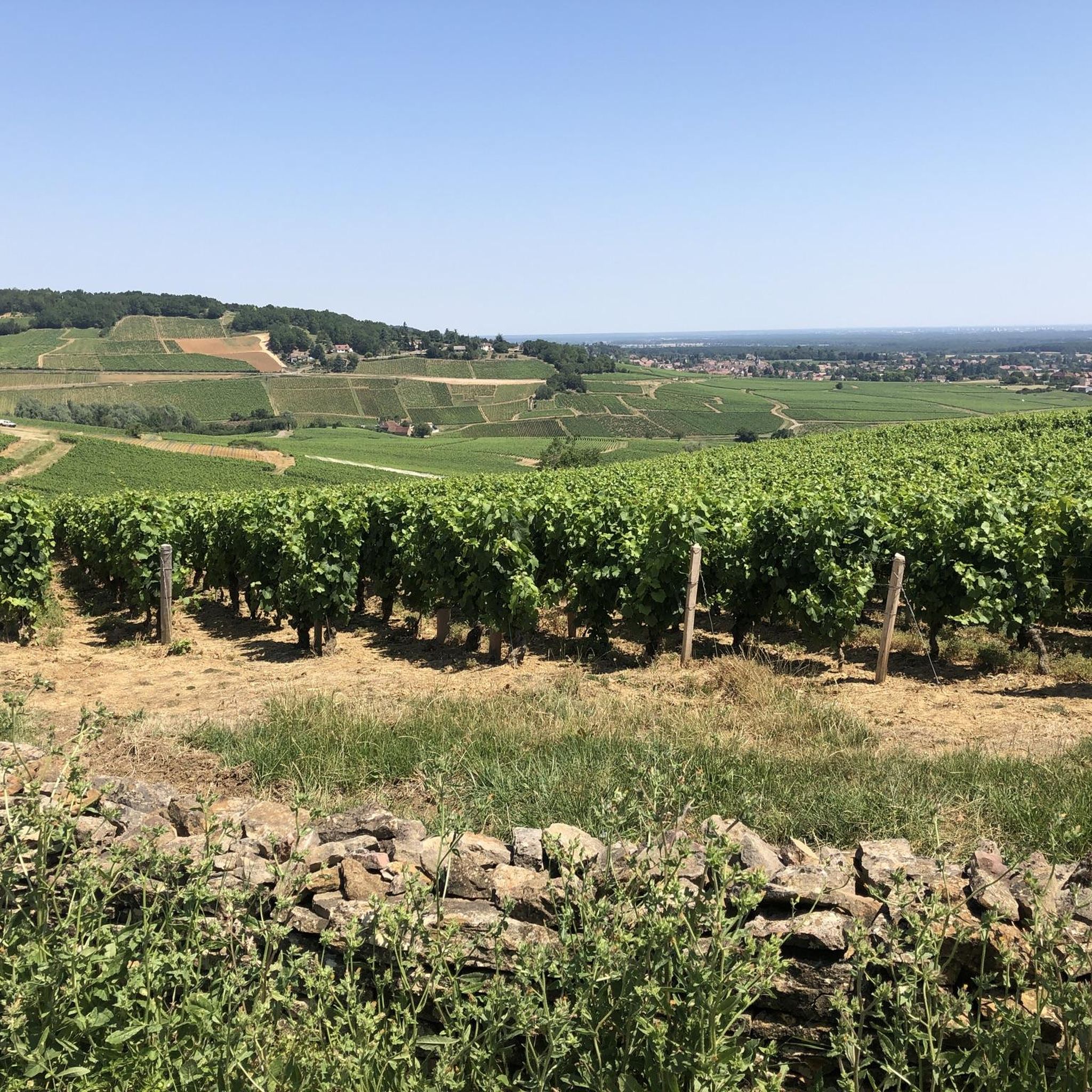
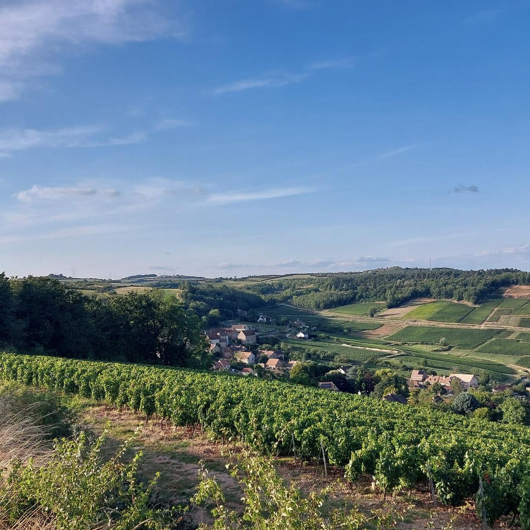
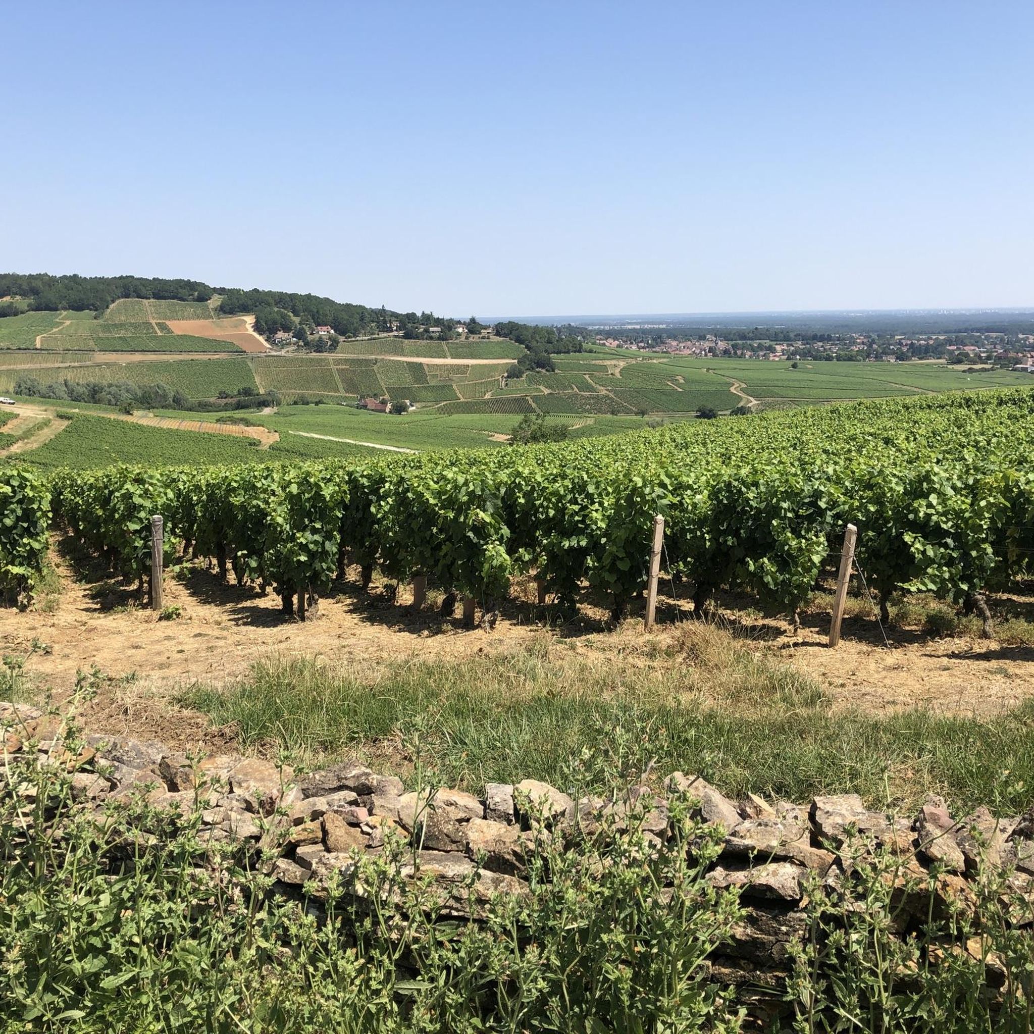
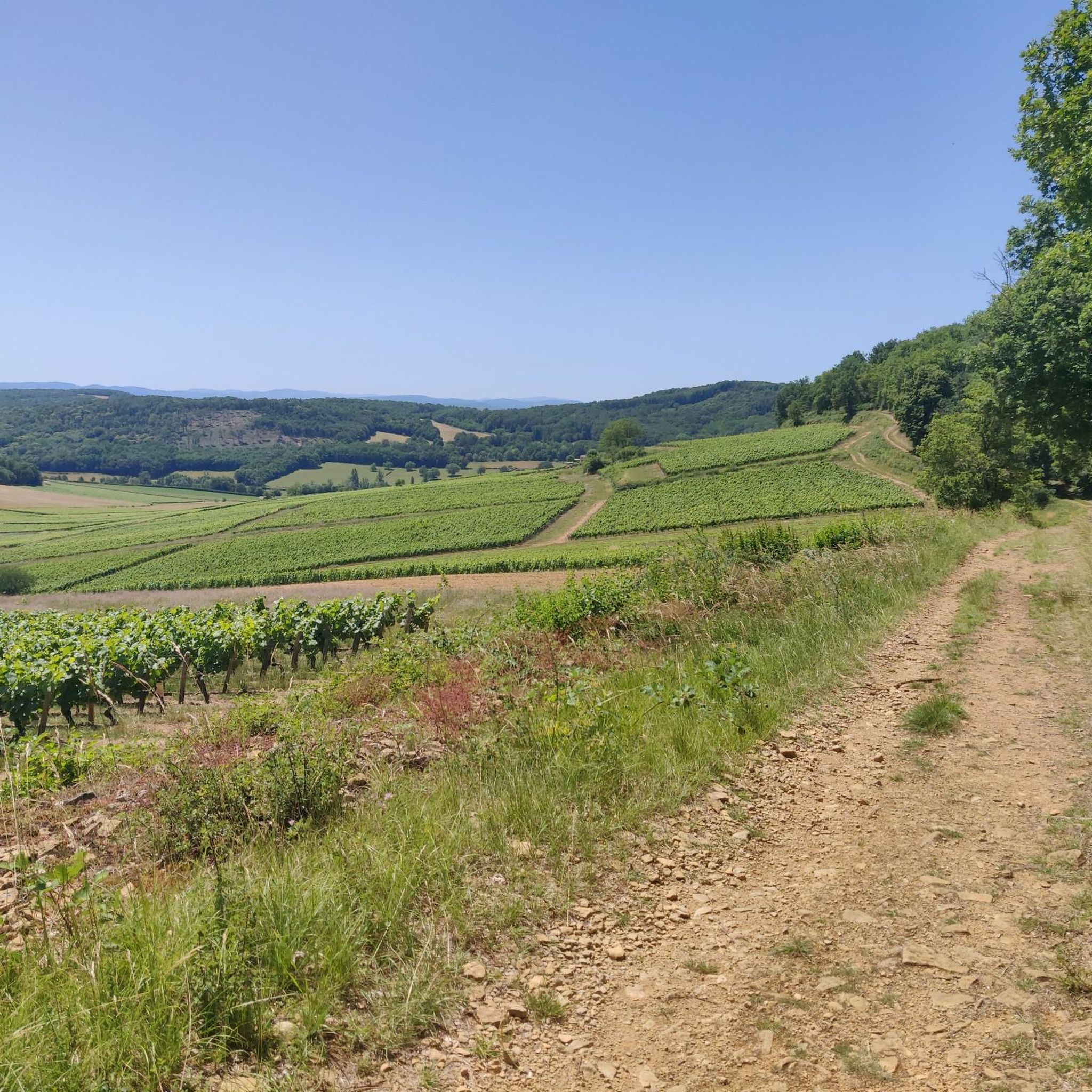
Hiking around Montagny-Lès-Buxy offers diverse landscapes within the hilly South Côte Chalonnaise region of Burgundy, France. The area is characterized by extensive vineyards, predominantly growing Chardonnay grapes on south-east facing slopes, and a rolling, hilly topography with altitudes ranging from 245 to 415 meters. Hikers will encounter significant natural habitats like calcareous grasslands on "Les Chaumes," an area classified as a Natura 2000 site, alongside forests that provide shaded paths. This combination creates varied terrain for exploration.
Best hiking trails…
Last updated: July 6, 2026
4.7
(3)
24
hikers
5.03km
01:25
100m
100m
Easy hike. Great for any fitness level. Easily-accessible paths. Suitable for all skill levels.
4.5
(2)
11
hikers
14.3km
04:03
310m
310m
Moderate hike. Good fitness required. Easily-accessible paths. Suitable for all skill levels.

Sign up for free
5.0
(1)
8
hikers
8.68km
02:24
150m
150m
Moderate hike. Good fitness required. Easily-accessible paths. Suitable for all skill levels.
5.0
(1)
3
hikers
20.5km
05:48
460m
460m
Hard hike. Very good fitness required. Easily-accessible paths. Suitable for all skill levels.
2
hikers
5.47km
01:32
110m
110m
Easy hike. Great for any fitness level. Easily-accessible paths. Suitable for all skill levels.
Get access to more routes and recommendations from other explorers.
Sign up for free
Already have an account?
Our route recommendations are based on thousands of hikes, rides, and runs completed by other people on komoot.
Start today with a free account
Your next adventure awaits.
Login or Signup
Tips from the Community

Magnificent view over the hilly cultural landscape, which is particularly shaped by viticulture.
1
0

On June 12, 1944, nine members of a detachment of the Cruchaud resistance group and three residents of Neuilly were executed by the Nazis, who also set fire to the hamlet's farms and the château that had stood on the site since the 18th century. A commemorative plaque was unveiled on June 12, 1945, and the monument was erected in its current form in 1946. Access to the monument for remembrance is on foot only (the access road is private and vehicles are not permitted).
0
0
Rimont is a small, peaceful hamlet where 2 congregations of brothers and sisters reside.
1
0
Superb view, pleasant place for a break. Presence of a fitness trail.
1
0
Beautiful view of the "Montagny 1er cru" vineyard / seen from Mont Blanc on a clear day
0
0


At the rest area with the Madonna statue there is a drinking water fountain right at the entrance on the right.
0
0
Schöne Kirche in Montagny-lès-Buxy. Leider war sie nicht geöffnet.
0
0
Frequently Asked Questions
How many hiking trails are available around Montagny-lès-Buxy?
There are 15 hiking trails around Montagny-lès-Buxy, offering a variety of options for different skill levels. These routes are highly rated by the komoot community, with an average score of 4.6 stars.
Are there easy hiking options suitable for beginners or families in Montagny-lès-Buxy?
Yes, Montagny-lès-Buxy offers 5 easy hiking routes perfect for beginners or families. A great option is the Hiking loop from Montagny-lès-Buxy, which is 5 km long and provides a gentle introduction to the local landscape.
What kind of landscapes can I expect to see while hiking in Montagny-lès-Buxy?
Hikers in Montagny-lès-Buxy will experience diverse landscapes, primarily characterized by extensive vineyards, especially Chardonnay grapes on south-east facing slopes. The area also features rolling, hilly terrain with panoramic views, significant natural habitats like calcareous grasslands (pelouses calcicoles) on "Les Chaumes," and interspersed forests providing shaded paths.
Are there any circular hiking routes in Montagny-lès-Buxy?
Yes, many routes in Montagny-lès-Buxy are circular. For example, the Beautiful wayside cross – Panoramic rest area loop from Montagny-lès-Buxy offers a moderate 14.2 km circular path with scenic views. Another option is the longer Statue of Mary – Panoramic rest area loop from Montagny-lès-Buxy, which is 20.6 km.
What interesting landmarks or attractions can I discover along the trails?
Beyond the vineyards, you can find unique historical and natural landmarks. Look out for traditional dry-stone huts known as "cadoles" scattered throughout the vineyards. The region also features a Conservatory Orchard, and some trails pass by the Croix Saint Morille, offering scenic views. You might also spot the private châteaux of La Saule and La Tour Bandin.
Is Montagny-lès-Buxy accessible by public transport for hikers?
Montagny-lès-Buxy is situated in a rural area. While specific direct bus routes to trailheads might be limited, you can explore public transport options to nearby larger towns like Chalon-sur-Saône, and then consider local services or alternative transport to reach Montagny-lès-Buxy. It's advisable to check local bus schedules in advance.
What do other hikers enjoy most about the trails in Montagny-lès-Buxy?
The komoot community highly rates the trails in Montagny-lès-Buxy, with an average score of 4.6 stars from over 160 reviews. Hikers often praise the picturesque vineyard views, the varied terrain that includes both open fields and shaded forests, and the opportunity to discover unique local heritage like the 'cadoles'.
Are there any specific trails that highlight the region's wine heritage?
Yes, the Montagny Wine Trail (Sentier Viticole du Montagny) is a 4.5 km interpretive trail designed to educate visitors about the local terroir and the renowned Montagny wines. It features eight stelae providing information about the vineyards and winemaking process.
Are the hiking trails in Montagny-lès-Buxy dog-friendly?
While many trails in natural areas are generally accessible for dogs, it's always recommended to keep them on a leash, especially when passing through vineyards or near livestock. Always respect local signage and ensure your dog is well-behaved to protect the local environment and wildlife.
What is the best time of year to go hiking in Montagny-lès-Buxy?
The region is beautiful throughout the year, but spring and autumn are particularly pleasant for hiking. In spring, the vineyards are vibrant green, and in autumn, the foliage offers stunning colors. Summer can be warm, so early morning or late afternoon hikes are recommended, while winter offers a quieter, often crisp experience.
Are there places to eat or drink in Montagny-lès-Buxy after a hike?
Montagny-lès-Buxy is a charming village, and while specific establishments can vary, you can often find local cafes or restaurants in the village or nearby communities to enjoy a meal or refreshment after your hike. It's a great way to experience local Burgundian hospitality and cuisine.
Where can I find parking for the hiking trails in Montagny-lès-Buxy?
Parking is generally available within or on the outskirts of Montagny-lès-Buxy village, often near the start points of popular trails or in designated public parking areas. Specific information for individual trailheads might be available on komoot route pages or local tourism resources.
Most popular attractions around Montagny-Lès-Buxy

Get inspired with the komoot mobile app


Explore more
Browse the best Hikes in other regions.
