The best walks and hikes around Alçay-Alçabéhéty-Sunharette
4.4
(923)
8,376
hikers
163
hikes
Hiking around Alçay-Alçabéhéty-Sunharette provides access to the diverse landscapes of the Pyrénées-Atlantiques department, characterized by its mountainous terrain as part of the Pyrenees range. The region features significant elevation changes, extensive forests like the Forêt des Arbailles, and mountain pastures. Limestone formations contribute to the unique geological features found throughout the area.
Best hiking trails around Alçay-Alçabéhéty-Sunharette
- The most popular hiking route is Escaliers peak, a 3.9 miles (6.3 km) trail that takes 2 hours 18 minutes to complete,…
Last updated: October 20, 2026
4.7
(26)
183
hikers
6.33km
02:19
390m
400m
Moderate hike. Good fitness required. Easily-accessible paths. Suitable for all skill levels.
4.8
(6)
110
hikers
18.2km
06:49
870m
870m
Hard hike. Very good fitness required. Mostly accessible paths. Sure-footedness required.

4.6
(7)
28
hikers
9.43km
02:49
280m
290m
Moderate hike. Good fitness required. Easily-accessible paths. Suitable for all skill levels.
4.6
(19)
128
hikers
12.0km
03:40
420m
420m
Moderate hike. Good fitness required. Easily-accessible paths. Suitable for all skill levels.
4.5
(4)
79
hikers
16.1km
05:49
700m
700m
Hard hike. Very good fitness required. Mostly accessible paths. Sure-footedness required.
Get access to more routes and recommendations from other explorers.
Already have an account?
Our route recommendations are based on thousands of hikes, rides, and runs completed by other people on komoot.
Start today with a free account
Your next adventure awaits.

Tips from the Community

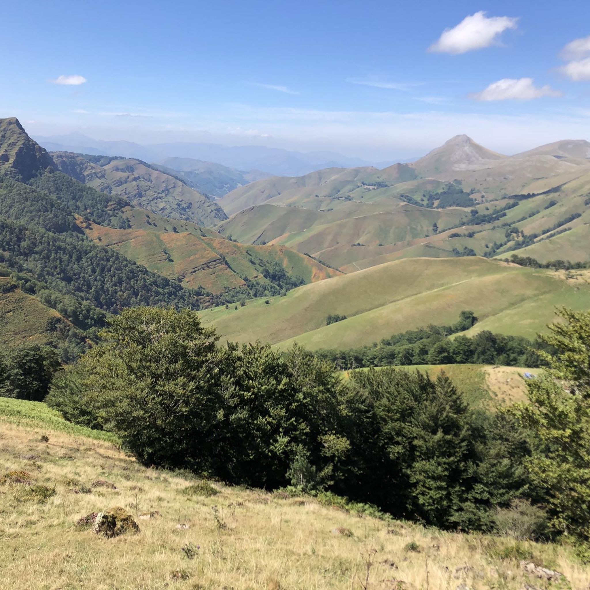
Along the border ridge of the Basque Pyrenees, Zazpigain (also spelled Xaxpigaña) is a visually striking summit known for its dramatic crests and wide-open mountain views. Standing near the prominent peak of Mount Orhy, this high-altitude point offers hikers a magnificent perspective over the rolling green valleys. Reaching Zazpigain is a thrilling effort for anyone traversing this wild section of the range.
2
0
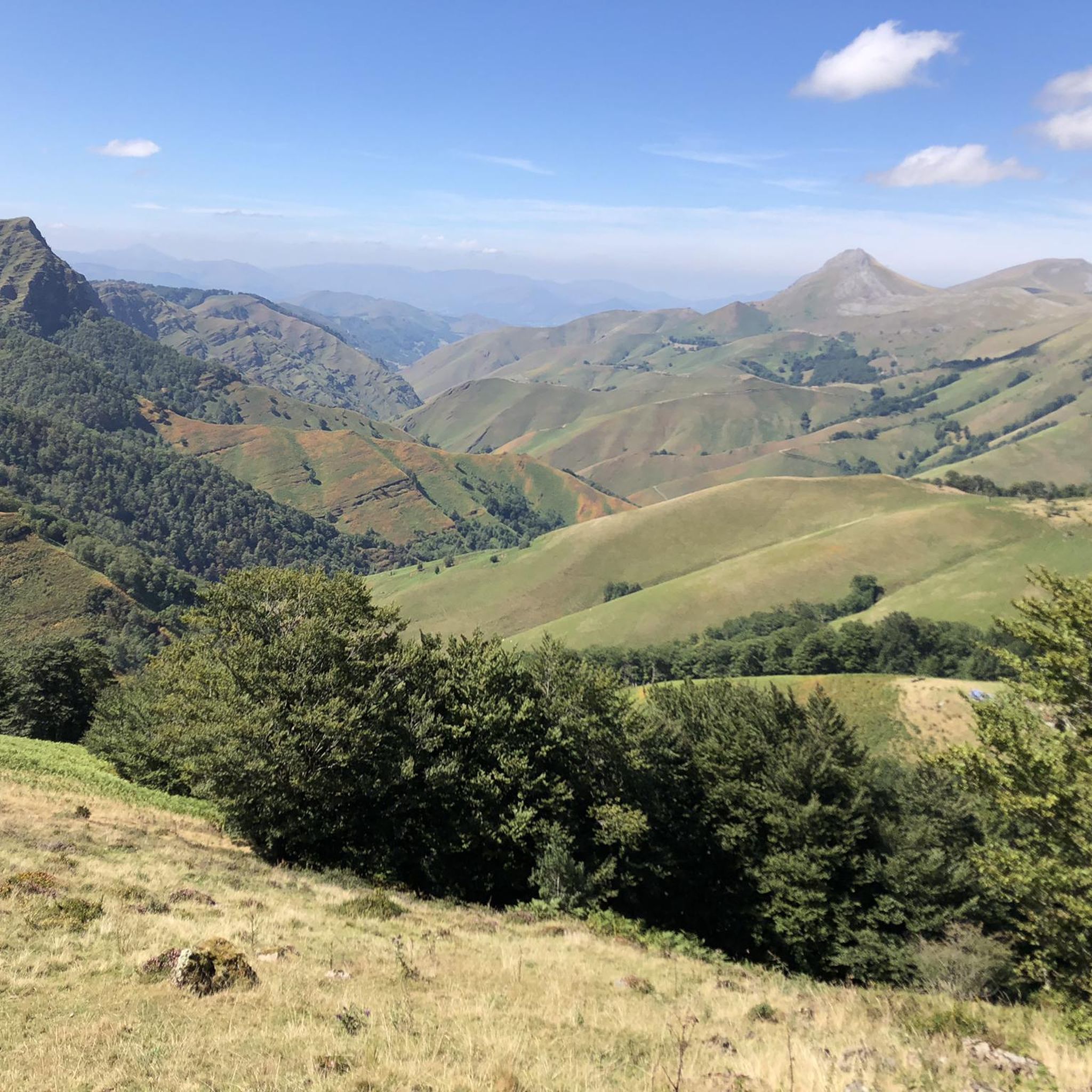
Col de Millagate is a high mountain pass known for its sweeping open pastures and dramatic vantage points. Crossing this pass rewards trekkers with breathtaking panoramas of rolling green ridgelines and distant Pyrenean summits. Often surrounded by grazing livestock and wild mountain terrain, Millagate is a peaceful landmark that marks a memorable transition along long-distance trekking routes like the GR10 and HRP.
2
0
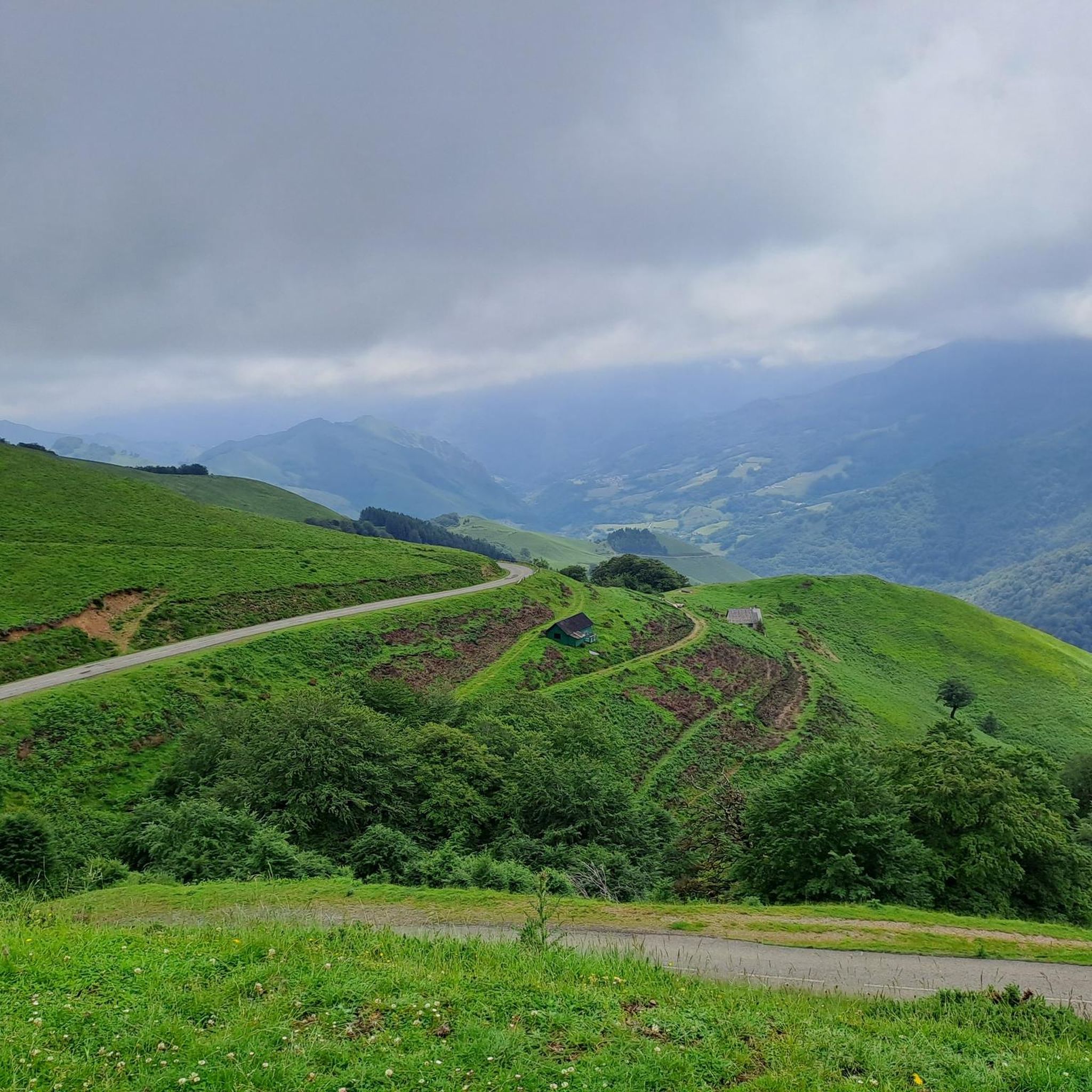
Perched atop the wind-swept Col de Bagargiak at an elevation of over 1,300 meters, Les Chalets d'Iraty is a charming mountain resort nestled right at the edge of the sprawling Iraty Forest. Operating as a cozy base for winter sports and a vibrant outdoor hub during the summer months, it offers a perfect blend of comfort and convenience for hikers on the GR10 or HRP. Trekkers can find well-equipped wooden chalets, dormitory-style rooms, a small grocery shop for essential resupplies, and a warm restaurant serving hearty local Basque dishes. It stands out as an inviting, comfortable oasis high in the Pyrenees where you can rest your legs, enjoy stunning mountain views, and recharge before tackling the next tough stage.
1
0
Small grocery shop for essential resupplies. Vibrant outdoor hub during the summer months, it offers a perfect blend of comfort and convenience for hikers on the GR10 or HRP.
2
0
On top of Col de Bagargiak at an elevation of over 1,300 meters, Les Chalets d'Iraty is a charming mountain resort right at the edge of the sprawling Iraty Forest. Operating as a cozy base and a vibrant outdoor hub during the summer months, it offers a perfect blend of comfort and convenience for hikers on the GR10 or HRP. Trekkers can find well-equipped wooden chalets, dormitory-style rooms, a small grocery shop for essential resupplies, and a warm restaurant serving hearty local Basque dishes. It stands out as an inviting, comfortable oasis high in the Pyrenees where you can rest your legs, enjoy stunning mountain views, and recharge before tackling the next tough stage.
0
0
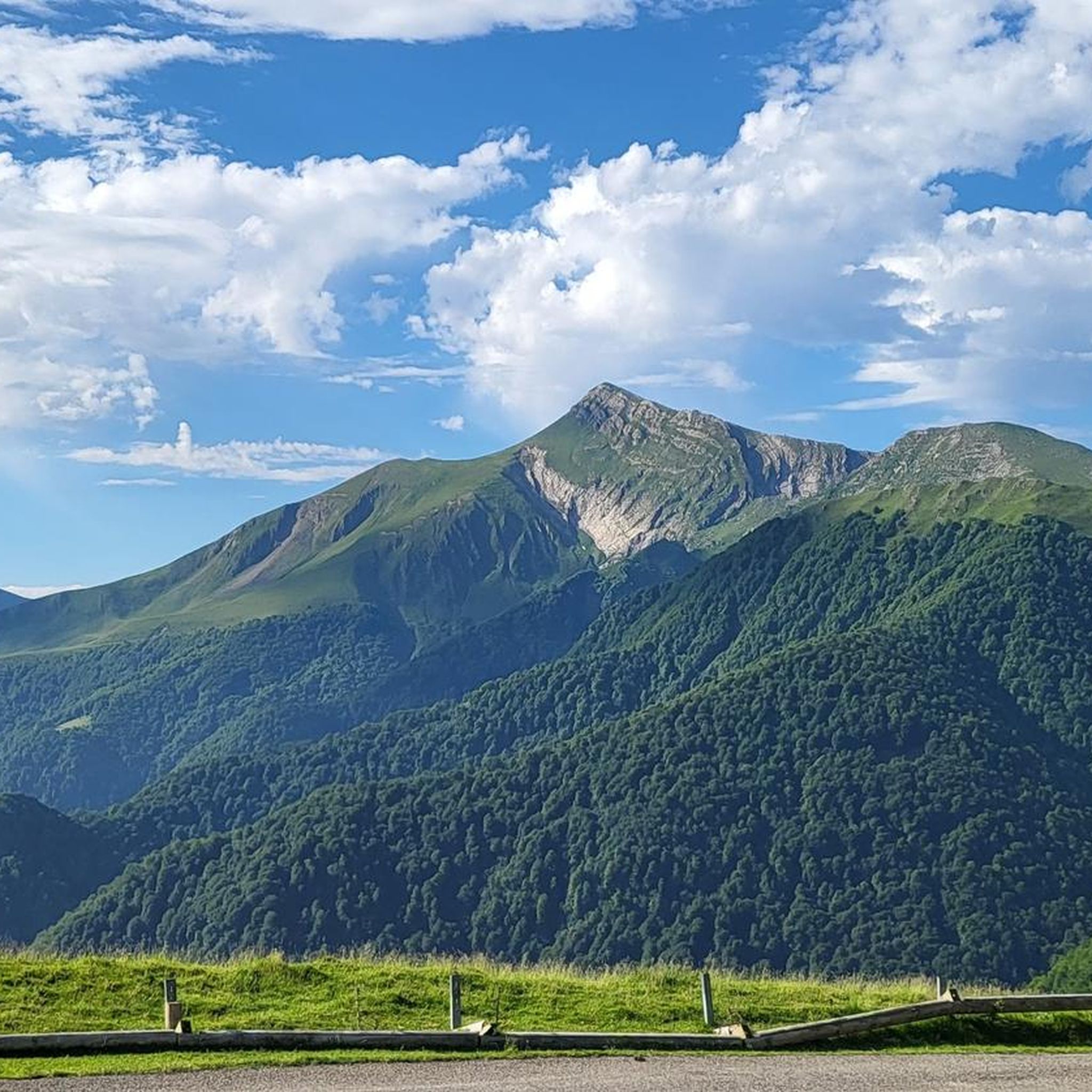
Lake Iraty (Lac d'Iraty) a Peaceful Mountain Reservoir. Nestled in the heart of the iconic Basque mountains, Lake Iraty (Lac d'Iraty) is a serene reservoir surrounded by the vast beech canopy of the Iraty Forest. The calm, clear waters mirror the rolling green hills, making it one of the most picturesque stops along the surrounding trails.
1
0

Breathtaking view of the Iraty massif and its forest, the Orly peak, as well as the first Béarnais summits, Anie, Table des trois rois, Ansabère …
0
0

Pretty little lake located in the forest, at the edge of the road.
0
0
Frequently Asked Questions
How many hiking trails are available in Alçay-Alçabéhéty-Sunharette?
There are over 140 hiking routes in Alçay-Alçabéhéty-Sunharette, catering to various skill levels. You'll find a good mix of easy, moderate, and difficult trails to explore the region's diverse landscapes.
What kind of terrain can I expect on hikes in Alçay-Alçabéhéty-Sunharette?
The region is characterized by its mountainous terrain, forming part of the Pyrenees. Hikers can expect significant elevation changes, diverse forests like the Forêt des Arbailles, and open mountain pastures. Limestone formations also contribute to unique geological features, offering varied scenery throughout your journey.
Are there any family-friendly hiking options in Alçay-Alçabéhéty-Sunharette?
Yes, the area offers around 30 easy routes suitable for families. While specific family-focused trails aren't detailed, many of the easier paths through forests and valleys provide a pleasant experience for all ages. Always check the route details for distance and elevation to ensure it matches your family's capabilities.
Can I bring my dog on the hiking trails in Alçay-Alçabéhéty-Sunharette?
Generally, dogs are welcome on many trails in the Pyrenees region, especially if kept on a leash. However, specific regulations can vary, particularly in protected areas or near grazing livestock. It's always advisable to check local signage and be mindful of sheep and cows often found in mountain pastures from May to September.
What are some notable landmarks or natural features to see while hiking?
You can discover several interesting natural features. The Holzarte Footbridge is a dramatic highlight, and you might encounter the El Cubo Waterfall. For panoramic views, consider routes that ascend peaks like Pic d'Orhy or Escaliers peak, which offers superb vistas towards Pic Gaztélia.
Are there any circular hiking routes available in the area?
Yes, there are several circular routes. For example, the Loop on the crests of Organdidexka is a moderate 5.9-mile (9.4 km) trail that takes you through varied landscapes including mountain pastures. Another option is the Lake Iraty – Bagargui loop from Col Bagargiak, a moderate 7.6-mile (12.2 km) route.
What is the best time of year to go hiking in Alçay-Alçabéhéty-Sunharette?
The spring, summer, and early autumn months (May to October) generally offer the best conditions for hiking. During these periods, the weather is milder, and the mountain pastures are vibrant. Winter can bring snow and more challenging conditions, suitable for experienced hikers with appropriate gear.
What do other hikers enjoy most about the trails in Alçay-Alçabéhéty-Sunharette?
The trails in Alçay-Alçabéhéty-Sunharette are highly rated by the komoot community, with an average score of 4.5 stars from over 670 reviews. Hikers frequently praise the breathtaking panoramic views of the Pyrenean mountains, the diverse landscapes ranging from forests to high pastures, and the sense of immersion in nature.
Are there any challenging hikes for experienced trekkers?
Absolutely. For experienced trekkers, routes like D'Orhy peak offer a significant challenge. This difficult 11.3-mile (18.2 km) path involves substantial elevation gains and navigates through rugged mountainous terrain, rewarding hikers with spectacular views from the summit.
Are there opportunities to see wildlife or traditional pastoral life?
Yes, the region is rich in natural beauty and traditional life. While hiking, especially through mountain pastures, you are likely to encounter herds of sheep and cows, particularly from May to September. The traditional pastoral village of Ahusquy in the Arbailles mountains offers an authentic experience of local heritage.
Is public transport available to reach hiking trailheads?
While specific public transport links directly to all trailheads in Alçay-Alçabéhéty-Sunharette might be limited due to its rural nature, regional bus services connect larger towns in the Pyrénées-Atlantiques department. For reaching more remote starting points, a car is generally recommended. Always check local transport schedules in advance.
Where can I find parking for hiking trails?
Parking is typically available at common starting points for popular trails, often near villages or designated scenic spots. For example, routes like the Lake Iraty – Bagargui loop and In the forest – Millagate loop start from Col Bagargiak, where parking facilities are usually present. Always look for marked parking areas to avoid obstructing local access.
Most popular routes around Alçay-Alçabéhéty-Sunharette
Most popular attractions around Alçay-Alçabéhéty-Sunharette

Get inspired with the komoot mobile app


Explore more
Browse the best Hikes in other regions.
