The best cycling routes around Roannes-Saint-Mary
4.2
(111)
1,673
riders
197
rides
Touring cycling around Roannes-Saint-Mary offers a diverse landscape for cyclists. The region features varied terrain, including rolling hills and areas with significant elevation changes, providing both challenging climbs and scenic descents. Routes often pass through rural settings, with some trails leading to historical points of interest like castles. The area's geography supports a range of cycling experiences, from gentle loops to more demanding long distance cycling routes.
Best touring cycling routes around Roannes-Saint-Mary
- The most popular touring cycling route is…
Last updated: July 2, 2026
25
riders
49.2km
04:01
690m
690m
Hard bike ride. Very good fitness required. Mostly paved surfaces. Suitable for all skill levels.
1.0
(1)
17
riders
18.1km
01:09
80m
80m
Easy bike ride. Great for any fitness level. Mostly paved surfaces. Suitable for all skill levels.

Sign up for free
11
riders
40.1km
03:46
940m
930m
Hard bike ride. Very good fitness required. Mostly paved surfaces. Suitable for all skill levels.
9
riders
38.8km
03:12
590m
590m
Hard bike ride. Very good fitness required. Mostly paved surfaces. Suitable for all skill levels.
6
riders
48.1km
03:07
650m
650m
Hard bike ride. Very good fitness required. Mostly paved surfaces. Suitable for all skill levels.
Get access to more routes and recommendations from other explorers.
Sign up for free
Already have an account?
Our route recommendations are based on thousands of hikes, rides, and runs completed by other people on komoot.
Start today with a free account
Your next adventure awaits.
Login or Signup

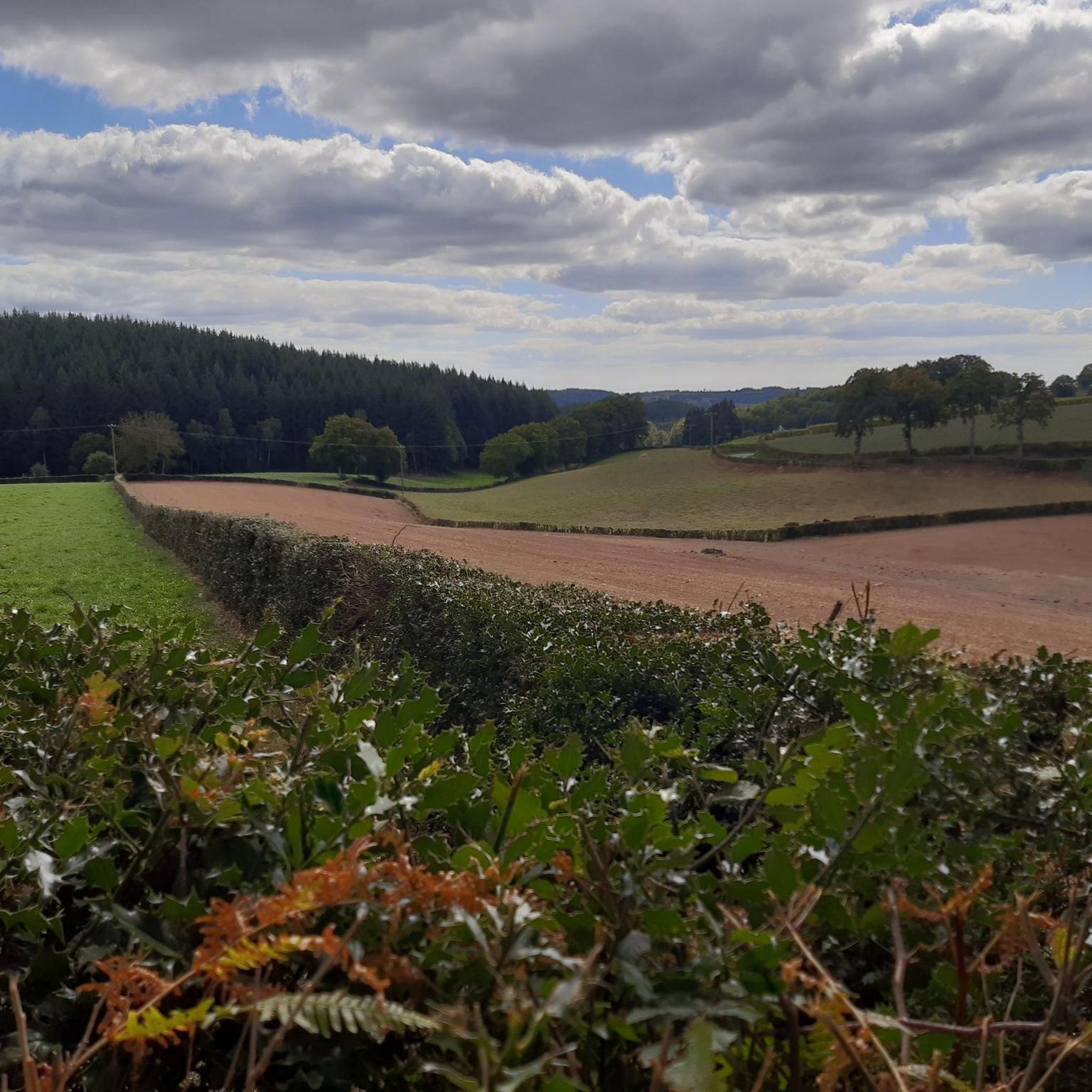
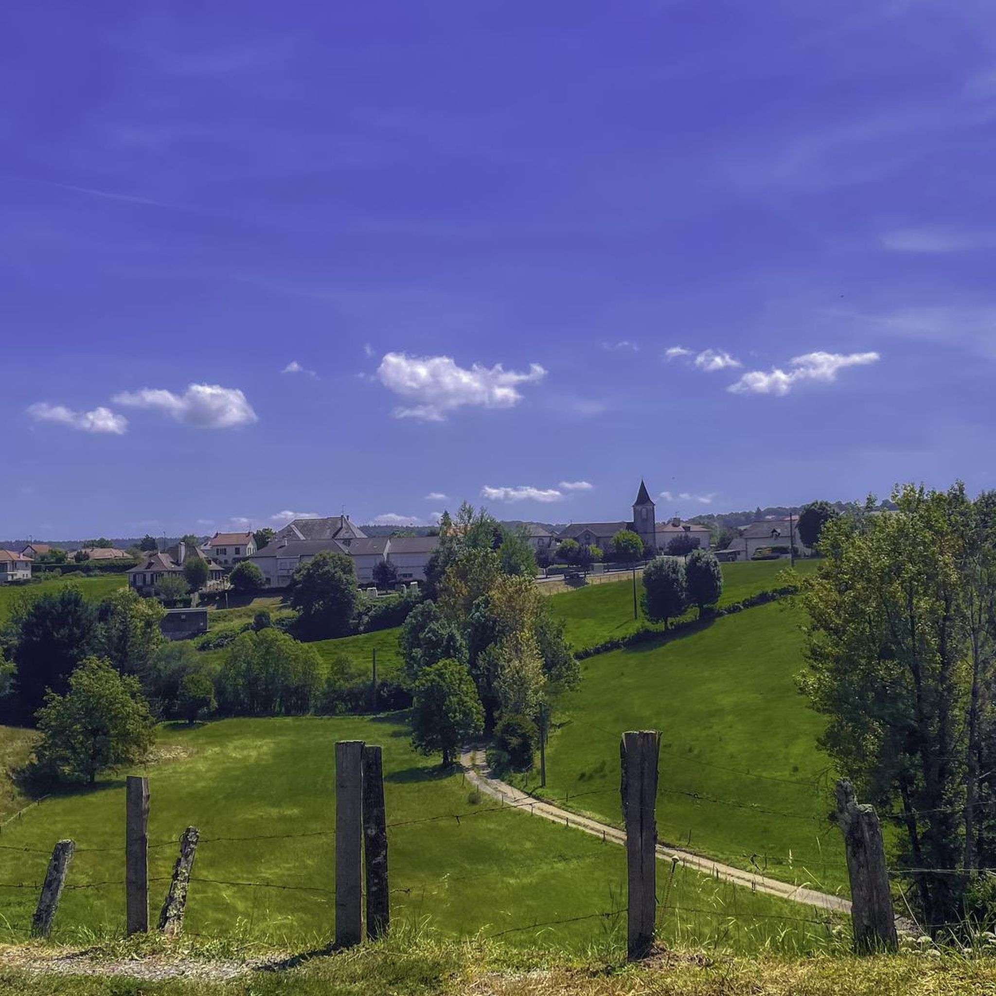
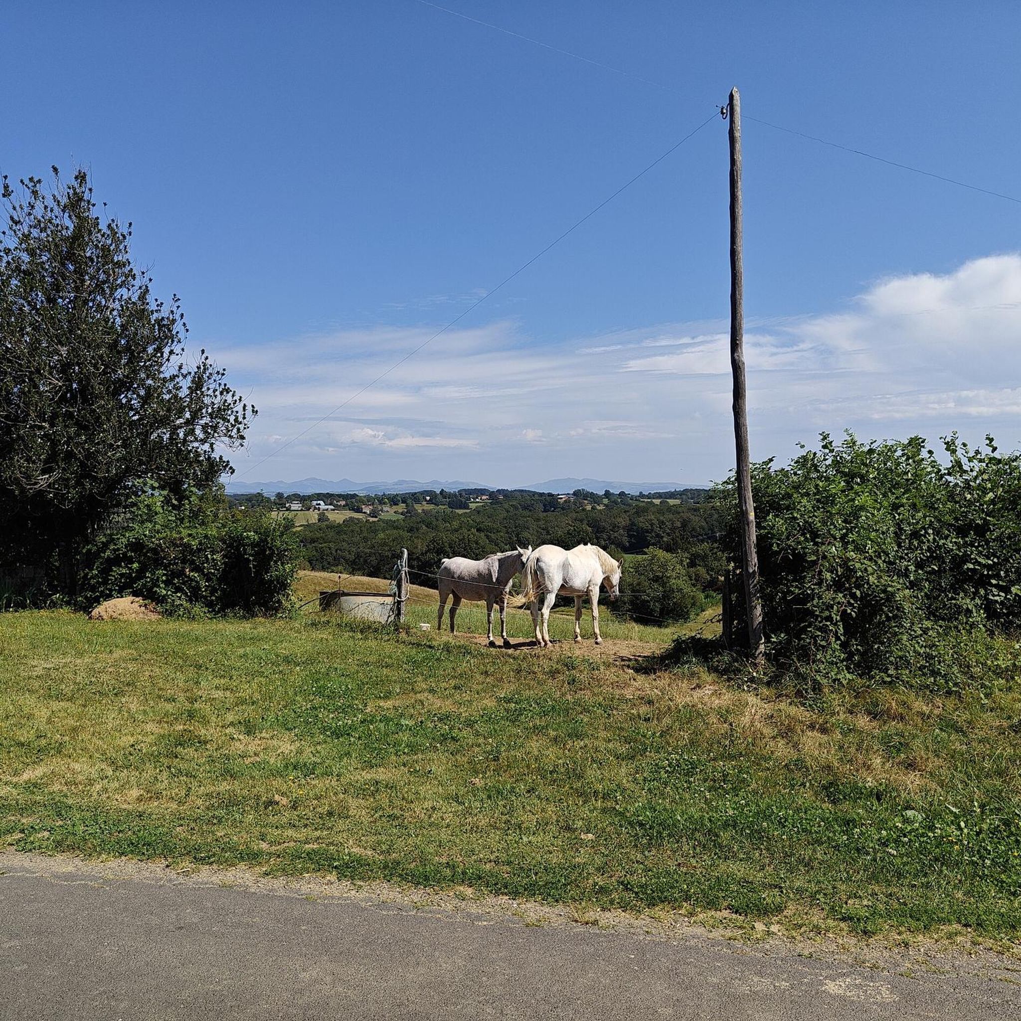

Tips from the Community

Small town with a fantastic panorama. Church, castle, and river.
0
0
One of many beautiful views of the reservoir.
0
0
View of the train station, where trains are still running, and the castle in the background.
2
0
beautiful railway viaduct, the line is still in use.
0
0
Very nice municipal campsite. Riverside location, view of the castle, refrigerator, picnic areas. Great pitches, clean sanitary facilities, and a common room.
6
0

A beautiful view of Lake Saint-Étienne-Cantalès, the largest artificial lake in Auvergne.
0
0

Small city of character, along the Cère river, at the entrance to the gorges. Superb little streets, medieval castle and white Virgin from which you can discover a panoramic view.
2
0
View of the lake with shaded picnic tables. Ideal for a lunch break!
3
0
Frequently Asked Questions
How many touring cycling routes are available in Roannes-Saint-Mary?
There are over 180 touring cycling routes around Roannes-Saint-Mary, offering a wide variety of experiences for all skill levels. This includes 14 easy routes, 63 moderate routes, and 110 difficult routes.
What is the best time of year to cycle in Roannes-Saint-Mary?
The region is generally pleasant for cycling from spring through autumn. Summer offers warm weather ideal for longer rides, while spring and early autumn provide cooler temperatures and beautiful scenery. Always check local weather forecasts before heading out.
Are there easy touring bike trails suitable for beginners or families?
Yes, Roannes-Saint-Mary offers several easy touring routes. A great option for a gentle ride with minimal elevation is the Aurillac loop from Arpajon-sur-Cère, which is 11.3 miles (18.2 km) long.
Can I find longer distance cycling routes for extended tours?
Absolutely. For those seeking longer distances, routes like the Blick nach Norden – Conros Castle loop from Saint-Mamet-la-Salvetat cover over 37 miles (60 km) and feature significant elevation changes, providing a challenging and rewarding experience.
Are there circular touring routes available in the area?
Many of the touring cycling routes in Roannes-Saint-Mary are designed as loops, allowing you to start and finish in the same location. Examples include the popular Fabrègues Castle – Aurillac loop from Arpajon-sur-Cère and the challenging Blick nach Norden loop from Roannes.
What interesting places can I explore while cycling in Roannes-Saint-Mary?
The region is rich in historical sites and charming towns. Many routes pass by notable attractions such as Fabrègues Castle. You can also explore the town of Aurillac or the picturesque village of Marcolès. The Fabrègues Castle – Aurillac loop from Arpajon-sur-Cère is a great route to combine cycling with sightseeing.
What do other touring cyclists enjoy about the routes in Roannes-Saint-Mary?
The touring cycling routes in Roannes-Saint-Mary are highly rated by the komoot community, with an average score of 4.2 stars from over 90 reviews. Cyclists often praise the varied terrain, scenic viewpoints, and the opportunity to discover historical sites along the way.
Are there challenging routes for experienced touring cyclists?
Yes, the region offers numerous difficult routes with significant elevation gains. For example, the Pont du Laurent loop from Aéroport d'Aurillac is a demanding 24.5-mile (39.4 km) ride with over 1,900 feet (580 meters) of climbing, perfect for experienced riders seeking a challenge.
Is public transport accessible for reaching touring cycling routes?
While specific public transport options directly to trailheads may vary, the main towns in the region, such as Aurillac, are generally served by regional bus or train services. It's advisable to check local transport schedules and bicycle carriage policies in advance if you plan to use public transport to access your starting point.
Where can I find parking for touring cycling routes in the area?
Many routes start from towns or villages like Arpajon-sur-Cère or Roannes, where public parking is typically available. For routes beginning in more rural areas, look for designated parking spots near trailheads or inquire with local tourist information centers for suitable options.
Are there touring routes with cafes or places to stop for refreshments?
Many routes pass through or near charming villages and towns where you can find cafes, bakeries, or small shops to refuel. Planning your route to include stops in places like Marcolès or Aurillac can enhance your cycling experience.
How long do touring cycling routes typically take in Roannes-Saint-Mary?
Route durations vary significantly based on distance, elevation, and your cycling pace. Easy routes like the Aurillac loop from Arpajon-sur-Cère can take under 2 hours, while more challenging and longer routes, such as the Blick nach Norden loop from Roannes, can take over 3.5 hours to complete.
Most popular routes around Roannes-Saint-Mary
Most popular attractions around Roannes-Saint-Mary

Get inspired with the komoot mobile app


Explore more
Browse the best Cycling routes in other regions.
