The best running trails around Ponteils-Et-Brésis
4.6
(80)
832
runners
99
runs
Jogging around Ponteils-Et-Brésis offers diverse terrain within the Cévennes National Park, at the foot of Mont Lozère. The region features a striking contrast of natural landscapes, including steep, wooded slopes, lower-lying valleys, and the nascent Cèze river. Its geological makeup of granite and schist contributes to varied running paths, providing a dynamic experience for trail runners.
Best jogging routes around Ponteils-Et-Brésis
- The most popular jogging route is Le Mas de la Barque loop from Mas de la Barque, a…
Last updated: October 11, 2026
5.0
(2)
9
runners
9.78km
01:21
250m
250m
Hard run. Good fitness required. Sure-footedness, sturdy shoes and alpine experience required.
11
runners
18km
02:49
750m
750m
Hard run. Very good fitness required. Sure-footedness, sturdy shoes and alpine experience required.

8
runners
4.36km
00:40
210m
210m
Hard run. Good fitness required. Sure-footedness, sturdy shoes and alpine experience required.
4.0
(1)
11
runners
19.7km
02:32
640m
640m
Hard run. Very good fitness required. Mostly paved surfaces. Suitable for all skill levels.
4.0
(1)
10
runners
9.93km
01:06
180m
180m
Moderate run. Good fitness required. Mostly paved surfaces. Suitable for all skill levels.
Get access to more routes and recommendations from other explorers.
Already have an account?
Our route recommendations are based on thousands of hikes, rides, and runs completed by other people on komoot.
Start today with a free account
Your next adventure awaits.
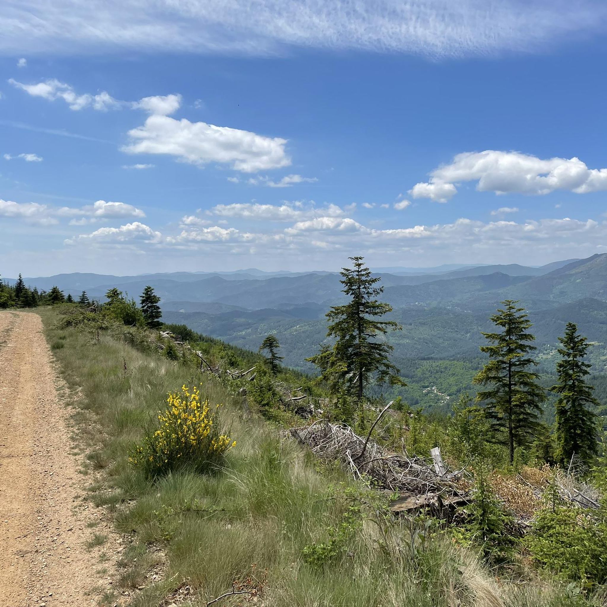
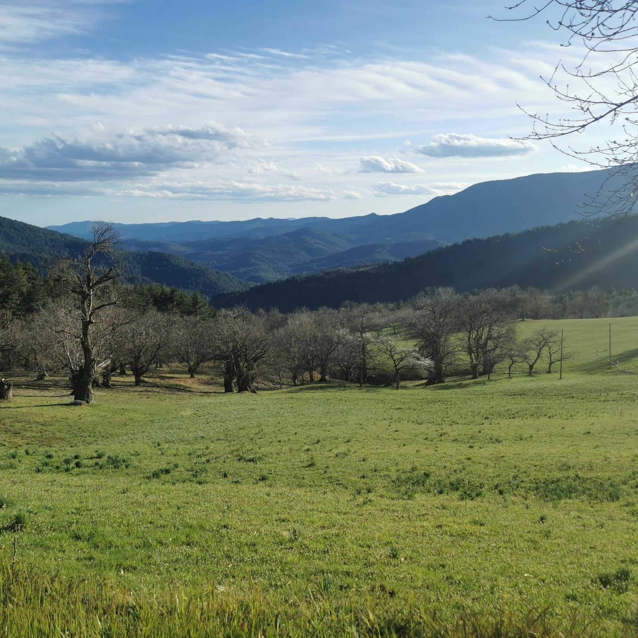
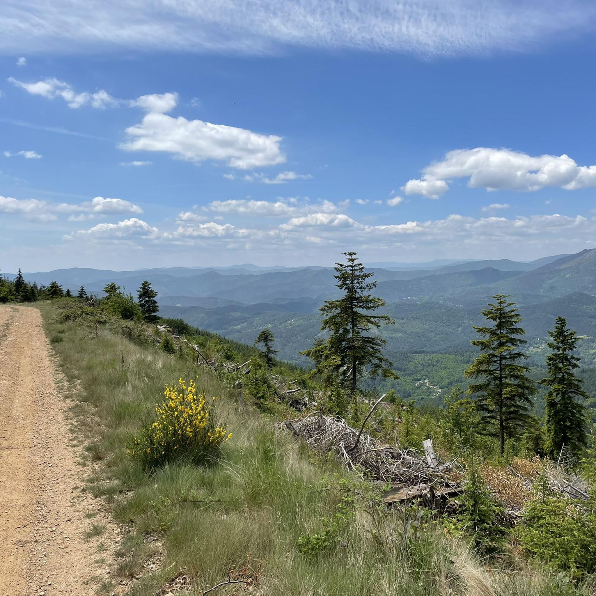
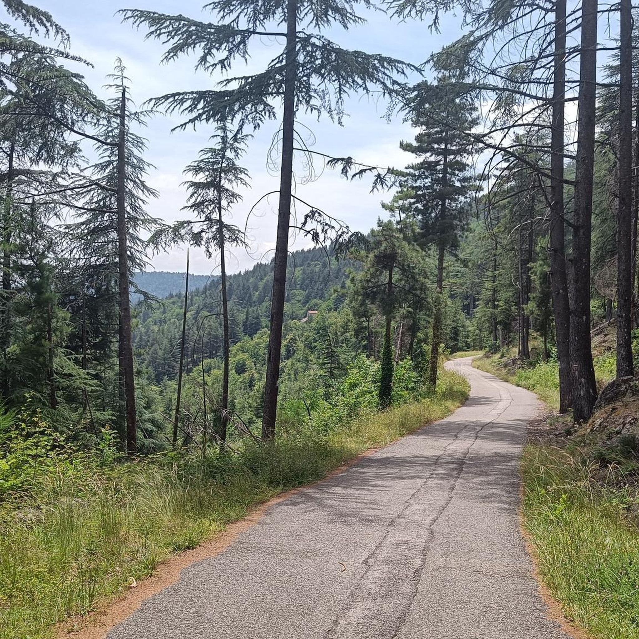

Tips from the Community

Great starting point for hikes: Pic Cassini, Pont du Tarn… The cottages are very pleasant.
0
0

Toilets, drinking water, tables, and benches are available. Great for eating your picnic!
0
0

Pleasant hike with beautiful viewpoints and magical places.
0
0


Located at an altitude of 1,203 meters, Montadou offers beautiful views of the Massif Central. You benefit from a 360º panorama of the surrounding peaks.
0
0


Several hikes to do in this area, there is the inn to eat and the chalet de l'aigle (unguarded reguge) where you can spend a nice night.
0
0

A mas designates a set of rural houses often organized around a farm. Here, you can also find a hostel to eat and spend the night.
1
1
Frequently Asked Questions
How many running routes are available in Ponteils-Et-Brésis?
There are over 90 running routes documented on komoot for the Ponteils-Et-Brésis area. These trails offer a wide range of experiences, from moderate jogs to challenging trail runs, all set within the beautiful landscapes of the Cévennes National Park.
What is the general difficulty level of running routes in Ponteils-Et-Brésis?
The running routes in Ponteils-Et-Brésis are predominantly challenging, reflecting the mountainous terrain. You'll find 48 moderate routes and 45 difficult routes, with no easy routes listed. This means most runs will involve significant elevation changes and varied ground, perfect for those seeking a rewarding workout.
What kind of terrain can I expect on the running trails around Ponteils-Et-Brésis?
The terrain is highly varied, characterized by the region's diverse geology of granite and schist. You can expect to run through dense pine and beech forests, along steep slopes of Mont Lozère, and through lower-lying valleys. Many paths follow the nascent Cèze river and its tributaries, offering a dynamic and engaging experience for trail runners.
What natural landmarks or points of interest can I see while running in the area?
Many running routes offer stunning views and pass by notable natural features. You might encounter impressive rock formations like Pic Cassini or Gratassac. The region also features beautiful water bodies such as Lac de Villefort and the Rock Pools of the Gorges de Chassezac, providing picturesque backdrops for your run.
Are there any historical sites along the running paths in Ponteils-Et-Brésis?
Yes, the region is rich in history. You can find ancient Roman roads like the Régordane (part of the GR 700) and the renowned Stevenson's Way passing nearby. Many routes also feature well-preserved old buildings, stone bridges such as the Tarn Bridge and the Old Stone Bridge and Riverbank at Gravières, and terraced agricultural lands, adding a historical dimension to your run.
What do other runners enjoy most about the trails in Ponteils-Et-Brésis?
The running trails in Ponteils-Et-Brésis are highly rated by the komoot community, with an average score of 4.6 stars from over 50 reviews. Runners often praise the wild and authentic experience, the breathtaking panoramic views from Mont Lozère, and the diverse paths through forests and along rivers that make for a dynamic and engaging run.
Are there any circular running routes available in the area?
Yes, many of the running routes in Ponteils-Et-Brésis are circular, allowing you to start and finish at the same point. An example is the challenging Le Mas de la Barque loop from Mas de la Barque, which covers nearly 10 km with significant elevation gain.
Can I find routes that pass by lakes or rivers in Ponteils-Et-Brésis?
Absolutely. The region is known for its connection to the Cèze river and its tributaries. You can find routes that offer views of Lac de Villefort, such as the Villefort – Villefort Lake loop from Les Sédaries. The View of the Chassezac River at Pied-de-Borne is another scenic spot you might encounter.
Are there any running routes that feature waterfalls?
While the region is rich in rivers and streams, specific routes explicitly featuring prominent waterfalls are less common in the guide data. However, the Le Mas de la Barque – Cascade loop from Mas de la Barque suggests a route that includes a 'Cascade' (waterfall), offering a potential option for those interested in this feature.
What is the best time to visit Ponteils-Et-Brésis for outdoor activities like running?
The Cévennes National Park, where Ponteils-Et-Brésis is located, offers a great experience for outdoor activities. Spring and autumn generally provide the most pleasant temperatures for running, with vibrant foliage or blooming wildflowers. Summer can be warm, especially in the valleys, but higher elevations like Mont Lozère offer cooler conditions. Winter running is possible but requires appropriate gear due to potential snow and colder temperatures.
Are there family-friendly running routes in Ponteils-Et-Brésis?
Given the predominantly moderate to difficult nature of the routes and significant elevation changes, most trails in Ponteils-Et-Brésis are better suited for experienced runners or families with older children who are accustomed to trail running. There are no easy routes specifically listed, so careful consideration of each route's profile is recommended for families.
Are the running trails in Ponteils-Et-Brésis dog-friendly?
As Ponteils-Et-Brésis is largely within the Cévennes National Park, dogs are generally permitted on trails but often require to be kept on a leash to protect wildlife and livestock. It's always advisable to check specific park regulations or local signage for each trail to ensure a dog-friendly experience.
Are there options for parking near the running trails in Ponteils-Et-Brésis?
Many trailheads in and around Ponteils-Et-Brésis, especially those starting from villages or popular natural sites, typically offer parking facilities. For example, routes like the Le Mas de la Barque loop from Mas de la Barque would likely have parking available at the starting point of Mas de la Barque.
Most popular routes around Ponteils-Et-Brésis
Most popular attractions around Ponteils-Et-Brésis

Get inspired with the komoot mobile app


Explore more
Browse the best Running Trails & Routes in other regions.
