The best walks and hikes around Ponteils-Et-Brésis
4.6
(1151)
6,253
hikers
233
hikes
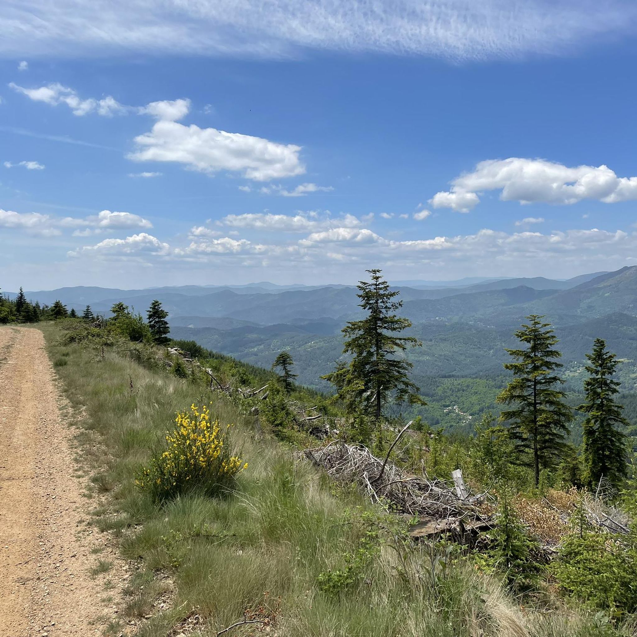
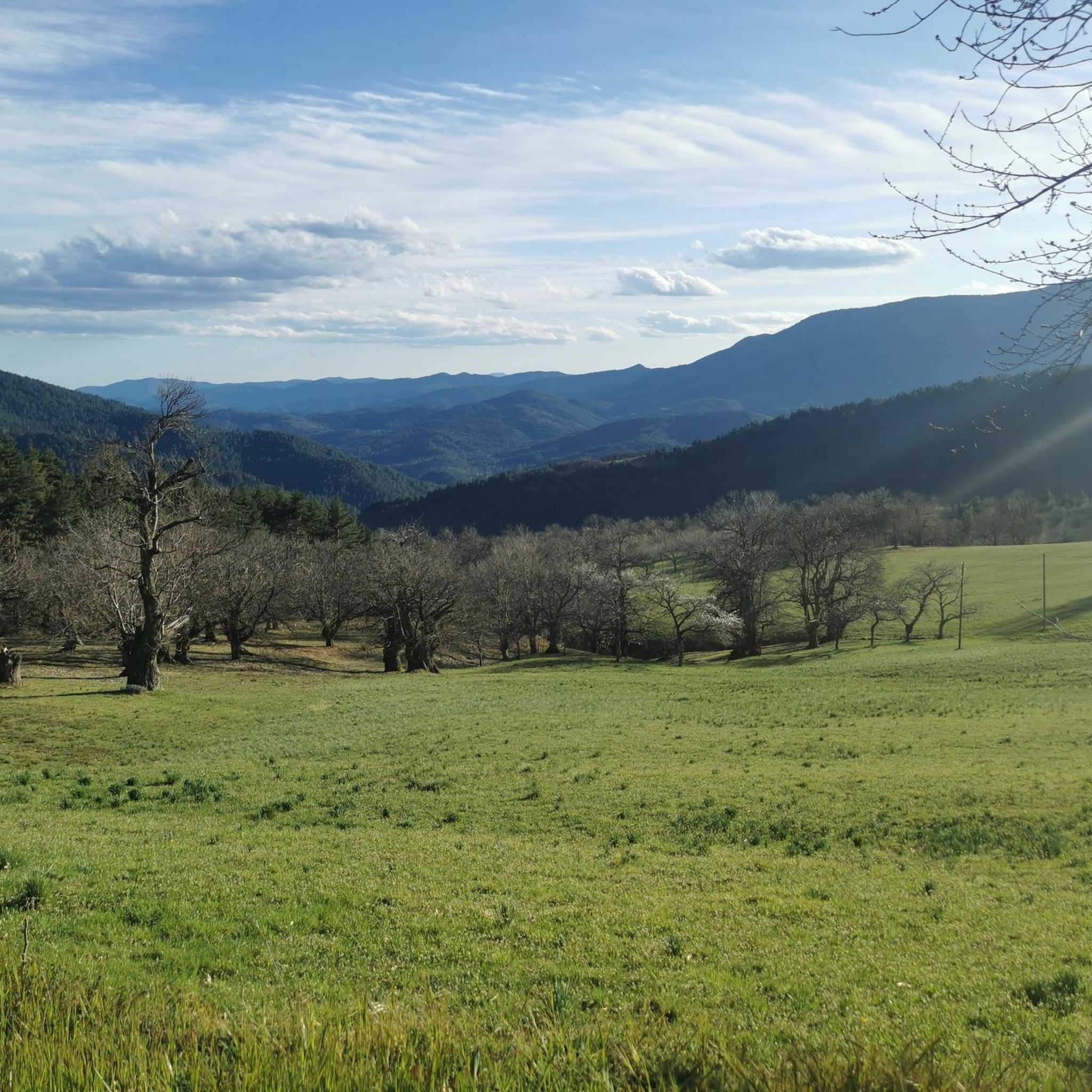
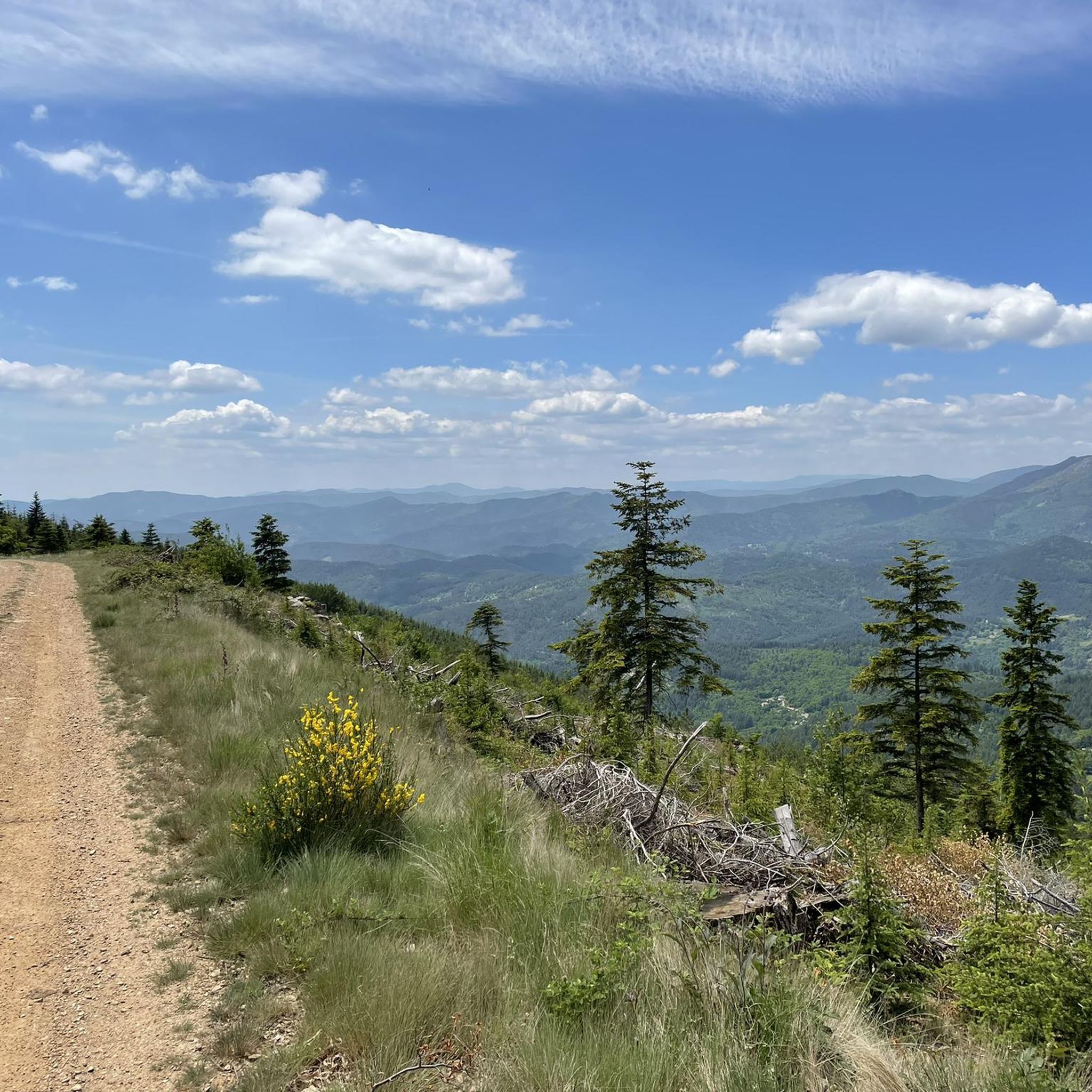
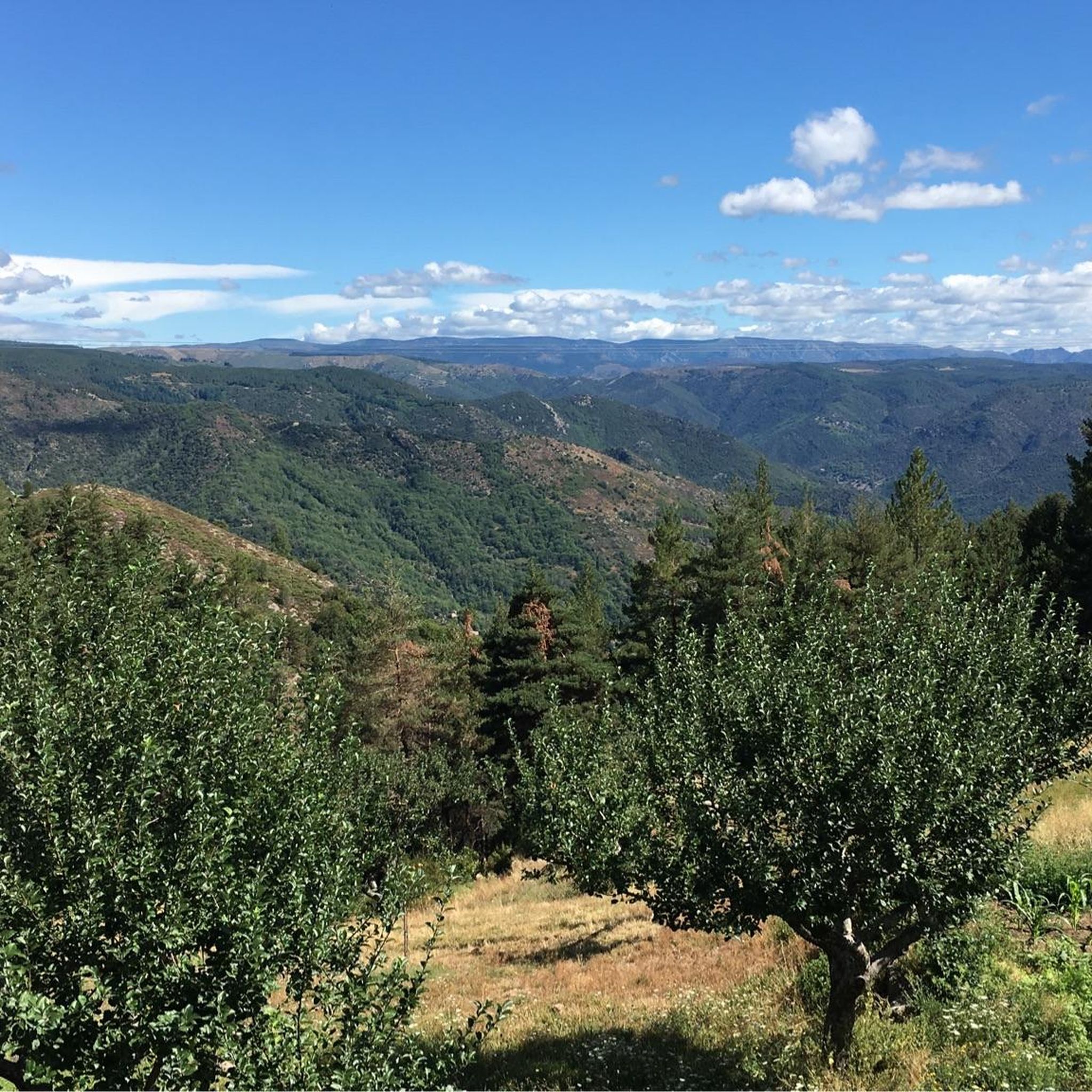
Hiking around Ponteils-Et-Brésis offers diverse terrain within the Cévennes National Park, at the foot of Mont Lozère. The region features a varied landscape of steep, wooded slopes, lower-lying river valleys, and unique geological formations of granite and schist. Dense pine and beech forests provide shaded routes, while rivers like the Cèze, Tarn, and Chassezac carve picturesque valleys and gorges. This area provides a dynamic experience for hikers, showcasing preserved natural beauty and varied elevation.
Best hiking trails around Ponteils-Et-Brésis
- The most popular hiking route is Pic Cassini and the sources of the Tarn - loop from Mas de la Barque - Cévennes National Park, a 10.3 miles (16.6 km) trail that takes 5 hours 1 minute to complete. This challenging route offers panoramic views and traverses varied flora within the Cévennes National Park.
- Another top favourite among local hikers is Tarn Bridge – Pont du Tarn loop from Mas de la Barque, a moderate 7.7 miles (12.5 km) path. This trail explores the unique granite landscape and leads to the Tarn Bridge, an ideal spot for riverside relaxation.
- Local hikers also love the Aujac – Col du Peras (771 m) loop from Bonnevaux, a 7.7 miles (12.4 km) trail leading through varied terrain and offering views from Col du Peras, often completed in about 4 hours 7 minutes.
- Hiking around Ponteils-Et-Brésis is defined by its integration within the Cévennes National Park, the dramatic landscapes of Mont Lozère, and unique granite and schist geology. The extensive network of trails offers options for various ability levels, from easy walks to more strenuous ascents.
- The routes in Ponteils-Et-Brésis are highly rated by the komoot community with an average score of 4.7 stars from over 1000 reviews. More than 5000 hikers have used komoot to explore Ponteils-Et-Brésis's varied terrain.
Last updated: July 8, 2026
4.0
(1)
24
hikers
15.4km
04:39
330m
330m
Moderate hike. Good fitness required. Mostly accessible paths. Sure-footedness required.
5.0
(1)
9
hikers
Moderate hike. Good fitness required. Easily-accessible paths. Suitable for all skill levels.

Sign up for free
5.0
(1)
10
hikers
11.6km
03:47
380m
380m
Hard hike. Good fitness required. Sure-footedness, sturdy shoes and alpine experience required.
4.0
(2)
16
hikers
Easy hike. Great for any fitness level. Easily-accessible paths. Suitable for all skill levels.
3.3
(3)
10
hikers
11.6km
03:54
580m
580m
Moderate hike. Good fitness required. Easily-accessible paths. Suitable for all skill levels.
Get access to more routes and recommendations from other explorers.
Sign up for free
Already have an account?
Our route recommendations are based on thousands of hikes, rides, and runs completed by other people on komoot.
Start today with a free account
Your next adventure awaits.
Login or Signup

Tips from the Community

End point or starting point of a steep and adventurous path through the forest. There are many cobbles on the path, later there is more vegetation. The path is a shortcut to the hamlet. You return to the road via a staircase next to a house.
1
0
Starting or ending point of a steep path through the forest. Further on, the path is not well maintained, there are many thorny bushes. A pity! You can avoid this path by taking a detour, but it is super nice for those who like a bit of adventure.
1
0
Small footbridge over the Le Cévénol railway line
1
0
The hiking trail runs right through the stream, or the stream runs over the path. In any case: you have to jump over the stones to continue your tour on the other side. In the summer you can take a refreshing dip here, the water is crystal clear.
1
0
This hiking junction is named after a nearby stream. You have the choice between the flatter road, or a narrow path, steeply up the hills.
1
0
Hiking junction. At this intersection, you can follow the wider flat path, or the small steeper trail.
1
0
This junction is in the vicinity of a water treatment plant, and a crossing with the Le Cévénol railway line (a connection between Clermont Ferrand and Nismes). Further in the middle of nature
1
0
This hiking junction is part of the Cévennes hiking network. Yellow-green nameplates and yellow markings allow you to put together the most beautiful hiking routes yourself. The disadvantage is that the entire network has not yet been mapped. That is why I am already creating highlights from it.
1
0
Frequently Asked Questions
How many hiking trails are available around Ponteils-Et-Brésis?
Ponteils-Et-Brésis offers a vast network of over 200 hiking routes. These trails cater to various fitness levels, ranging from easy walks to more strenuous ascents, all set within the stunning Cévennes National Park and around Mont Lozère.
What kind of terrain can I expect on hikes in Ponteils-Et-Brésis?
The terrain around Ponteils-Et-Brésis is incredibly diverse. You'll encounter steep, wooded slopes, lower-lying river valleys, and unique geological formations of granite and schist. Dense pine and beech forests provide shaded routes, while rivers like the Cèze, Tarn, and Chassezac carve picturesque valleys and gorges, offering a dynamic experience for hikers.
Are there any easy, family-friendly hikes in the area?
Yes, there are over 50 easy routes suitable for families or those looking for a relaxed walk. While specific family-friendly routes are not detailed here, the region offers options like the 6.5 km Planzolles Montselgues trail, known for its accessibility. Many trails also feature gentle gradients and scenic views, perfect for a leisurely outing.
What are some notable natural landmarks or viewpoints to see while hiking?
The region is rich in natural beauty. You can explore the unique granite landscape around the Tarn River, particularly near the Tarn Bridge – Pont du Tarn, which is also an idyllic spot for relaxation. For panoramic views, consider hikes that lead to Pic Cassini or routes like "De Chams en Hameaux depuis le Col de Peras" which offer vistas of the Cévennes, the Alps, Mont Ventoux, and the Tanargue Massif. The Le Montadou viewpoint is another excellent spot for scenic overlooks.
Are there any circular hiking routes available?
Yes, many trails in Ponteils-Et-Brésis are designed as loops. For example, the Pic Cassini and the sources of the Tarn loop offers a challenging circular experience. Another moderate option is the Le Mas de la Barque – La Jasse d'Olibou loop, providing a scenic round trip through the landscape.
What do other hikers say about the trails in Ponteils-Et-Brésis?
The routes in Ponteils-Et-Brésis are highly rated by the komoot community, with an impressive average score of 4.7 stars from over 1000 reviews. Hikers often praise the preserved natural beauty, the varied elevation, and the immersive experience within the Cévennes National Park. Over 5000 hikers have used komoot to explore this diverse terrain.
Can I find trails that lead to water features or swimming spots?
Absolutely. The region is characterized by several rivers, including the Tarn and Chassezac. The Tarn Bridge – Pont du Tarn loop is ideal for experiencing the unique granite landscape and enjoying a refreshing break by the river, which is known for its idyllic spots for relaxation and swimming. The Gorges du Chassezac also offer picturesque valleys and opportunities for sporty hikes near water.
Are there any challenging hikes for experienced trekkers?
For experienced trekkers, Ponteils-Et-Brésis offers several challenging routes. The Pic Cassini and the sources of the Tarn loop is a difficult 16.6 km trail requiring good fitness and sure-footedness, offering panoramic views. There are nearly 50 difficult routes in total, providing ample opportunities for strenuous ascents and rewarding experiences.
What is the best time of year to go hiking in Ponteils-Et-Brésis?
While specific seasonal recommendations are not provided, the diverse landscape with dense pine and beech forests suggests that spring and autumn would offer pleasant temperatures and beautiful scenery. Summer provides shaded routes, and the opportunity for refreshing dips in rivers like the Tarn. Always check local weather conditions before heading out.
Are there any long-distance hiking paths that pass through or near Ponteils-Et-Brésis?
Yes, the famous Stevenson Trail (Chemin de Stevenson) is nearby, offering longer trekking experiences for those interested in multi-day adventures. This iconic path provides a unique way to explore the Cévennes region, with options for donkey rentals in the vicinity to assist with carrying gear.
Are there any hikes that start directly from the village of Ponteils?
Yes, two main hiking loops, "La Bournaves" (7.34 km) and "Les Quatre Châteaux" (16.82 km), directly originate from the village of Ponteils. These provide convenient starting points for exploring the local natural heritage and architecture.
Most popular routes around Ponteils-Et-Brésis
Most popular attractions around Ponteils-Et-Brésis

Get inspired with the komoot mobile app


Explore more
Browse the best Hikes in other regions.
