The best cycling routes around Craonne
4.5
(209)
1,721
riders
72
rides
Touring cycling routes around Craonne traverse a landscape characterized by open terrain, hills, and valleys, offering varied topography. The region features the Ailette valley and the monastic forest of Vauclair, providing diverse natural settings. Cyclists can expect both ascents and descents between hills, alongside historical paths. The area offers a blend of physical activity and cultural exploration.
Best touring cycling routes around Craonne
- The most popular touring cycling route is View of Lake Ailette – Lake Ailette loop from Bouconville-Vauclair…
Last updated: October 8, 2026
4.4
(30)
116
riders
18.5km
01:16
150m
150m
Moderate bike ride. Good fitness required. Mostly paved surfaces. Suitable for all skill levels.
4.9
(7)
54
riders
13.7km
00:53
120m
120m
Easy bike ride. Great for any fitness level. Mostly paved surfaces. Suitable for all skill levels.

4.3
(3)
30
riders
38.5km
02:54
420m
420m
Moderate bike ride. Good fitness required. Mostly paved surfaces. Suitable for all skill levels.
5.0
(3)
21
riders
9.50km
00:37
50m
50m
Easy bike ride. Great for any fitness level. Mostly paved surfaces. Suitable for all skill levels.
4.8
(4)
16
riders
33.3km
02:15
420m
420m
Moderate bike ride. Good fitness required. Mostly paved surfaces. Suitable for all skill levels.
Get access to more routes and recommendations from other explorers.
Already have an account?
Our route recommendations are based on thousands of hikes, rides, and runs completed by other people on komoot.
Start today with a free account
Your next adventure awaits.
Tips from the Community

In 1914, the peasant village of Ailles covered about 340 hectares, one third of which was forest. 61 houses were grouped around the church of Saint-Martin. The population was declining: in the 1901 census there were still 147 inhabitants, while in 1911 there were only 118. In honor of the Battle of Craonne, a magnificent elm had been planted on March 7, 1814. A century later, it witnessed a new battlefield as French and German shells wiped the village off the map...
1
0
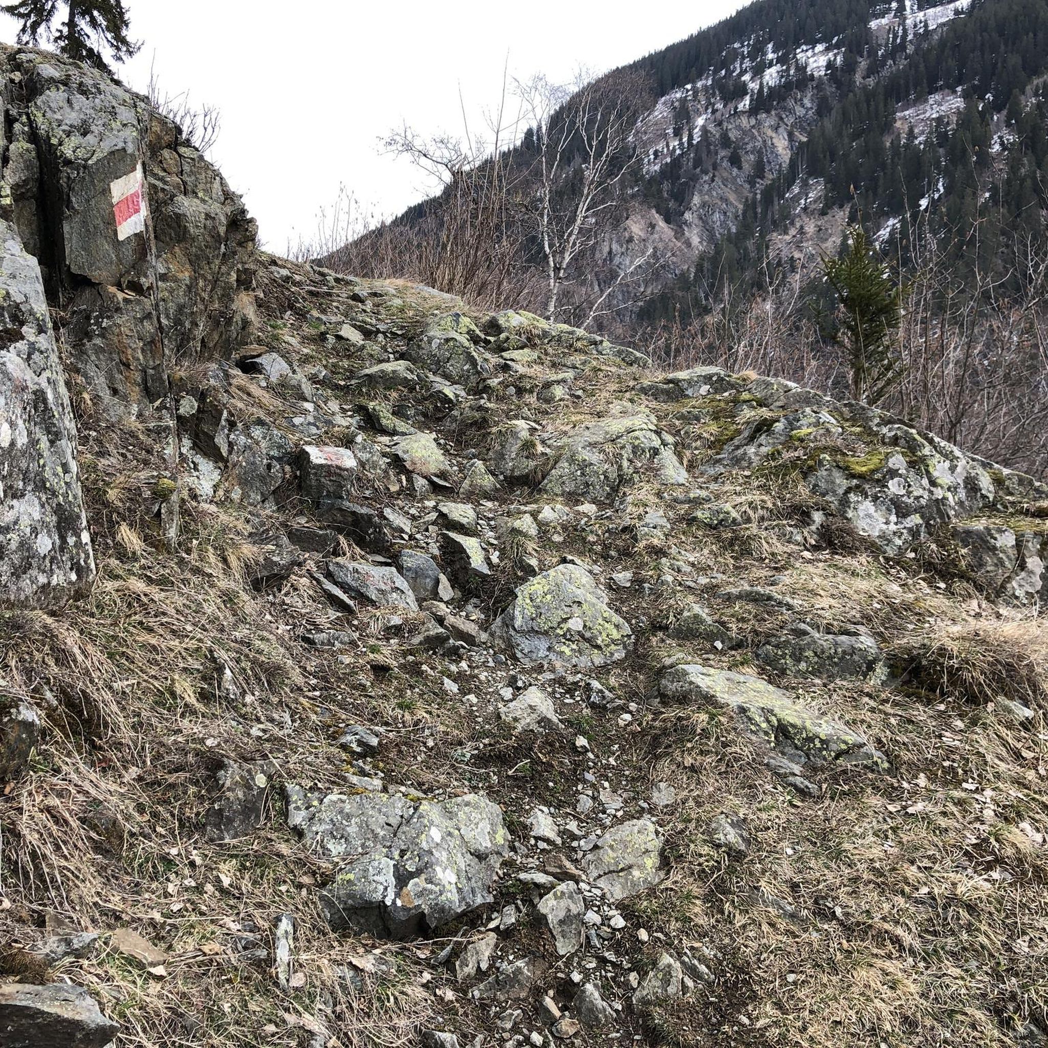
The Plateau de Californie in the heart of the Chemin des Dames is, like Verdun, a symbolic site of the First World War. However, while Verdun was quickly elevated to a national symbol of victory, the Plateau de Californie and the Chemin des Dames were long associated with the bitter failure of the Nivelle Offensive in April 1917, the subsequent mutinies, and the collapse in the summer of 1918, and were subjected to a process of exclusion, forgetting, and repression after the First World War. Before 1914, the Plateau de Californie, above the former village of Craonne, was a place for walks and recreation. After the war, pine trees were planted on the plateau, classified as a "red zone", as the land could no longer be cultivated. Today's visitors can follow the marked paths, discovering remnants of trenches and shell craters. Thematic information panels on the First World War, reading panels, and panoramic views of the Aisne valley now line the plateau along this marked hiking trail. Source: https://www.chemindesdames.fr
1
0

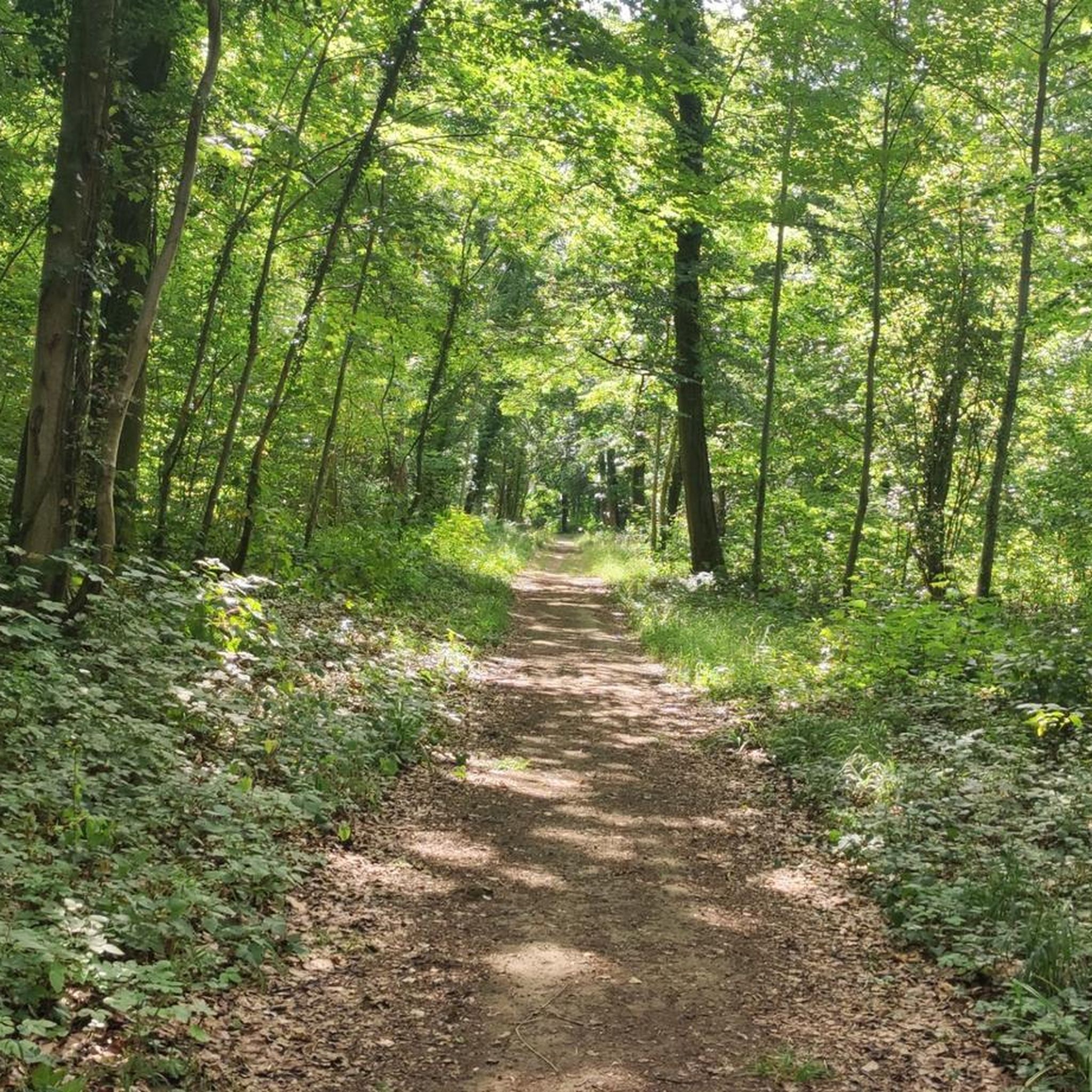
Beautiful quiet place for a walk
0
0

Placed high on a mound and built on the former site of the Moulin de Vauclerc, which served as an observatory for the emperor, the limestone statue represents the Emperor scanning the horizon in a dignified position.
0
0

This memorial stone, located on the Plateau de Californie above the old Craonne, commemorates the fierce fighting of April-May 1917 during the Nivelle Offensive. It stands on the spot where the French army suffered heavy losses in the battle against the German defenses. The stone also pays tribute to the destroyed village of Craonne, which was not rebuilt after the war. The site is closely linked to the famous “Chanson de Craonne”, the pacifist song of the French soldiers
6
0
The Plateau de Californie, situated above the ruined village of Craonne, was a strategic high point during the First World War. In April 1917, it became the scene of fierce fighting during the Nivelle Offensive. French troops suffered heavy losses here in their attempt to break through the German lines.
5
0
On a raised point along the Chemin des Dames, on the site of the former Moulin de Vauclerc, stands a stone statue of Napoleon Bonaparte, erected in 1974. It marks the spot where Napoleon observed the Battle of Craonne on 7 March 1814, during the French campaign against Russian and Prussian forces. The battle claimed more than 12,000 lives. The emperor is depicted looking out over the horizon – a symbol of strategy, battle and memory.
7
0
On the eastern edge of the Chemin des Dames plateau lies the Ferme d’Hurtebise, a place that played a crucial role during both the Napoleonic Wars and the First World War. In 1814, it was the scene of the Battle of Craonne, and exactly a century later it again became a strategic junction in the struggle between French and German troops. From September 1914 onwards, fierce fighting took place here. The farm overlooked the Ailette and Aisne valleys, making it a fiercely contested observation post. French units, including Zouaves and the 12th and 49th Infantry Regiments, tried to hold or retake the farm, often with heavy losses. The family that owned the farm sheltered in the cellar for days while the building was under fire. After months of fighting and bombardment, the farm was reduced to ruins, crisscrossed by trenches. Today the site is a symbol of resistance and sacrifice, and is part of the Chemin des Dames memorial landscape.
6
0
Frequently Asked Questions
What kind of terrain can I expect on touring cycling routes around Craonne?
The touring cycling routes around Craonne feature a varied landscape of open terrain, hills, and valleys. You'll encounter both ascents and descents, particularly between the hills, offering a dynamic cycling experience. The region also includes the scenic Ailette valley and the tranquil monastic forest of Vauclair.
Are there historical sites or landmarks to visit along the cycling routes?
Yes, Craonne is rich in history, especially related to World War I and the Chemin des Dames. Many routes offer opportunities to visit significant landmarks. For example, you can explore the Vauclair Abbey Ruins, which were severely damaged during WWI, or the Ferme d'Hurtebise War Memorial, a strategic site from the war. The Napoleon Statue in Craonne also commemorates an earlier historical battle.
What natural features or viewpoints can I discover while cycling in Craonne?
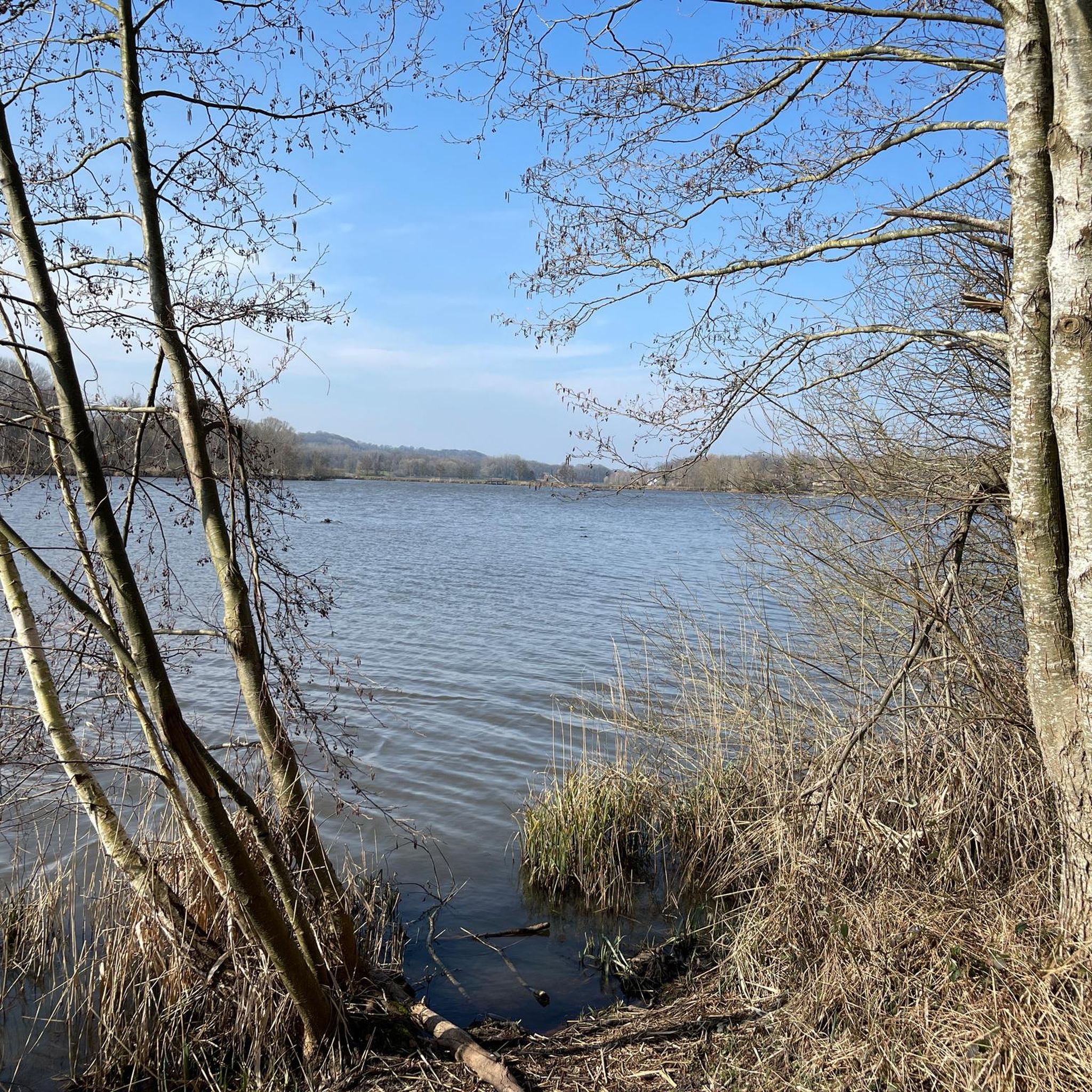
The region offers beautiful natural scenery, particularly around the Ailette valley and the monastic forest of Vauclair. Many routes provide panoramic views, especially from elevated sections. The View of Lake Ailette – Lake Ailette loop from Bouconville-Vauclair is a great option to enjoy the lake's vistas.
Are there family-friendly touring cycling routes in Craonne?
While some routes feature challenging ascents, there are easier options suitable for families. The *voie verte* (greenway) of the Ailette offers a gentler start before connecting to more challenging paths. Routes like the Lake Ailette – View of Lake Ailette loop from Chermizy-Ailles are rated as easy, making them good choices for a family outing.
Can I find circular touring cycling routes in Craonne?
Yes, many of the touring cycling routes in Craonne are designed as loops, allowing you to start and finish at the same point. Examples include the Lake Ailette – View of Lake Ailette loop from Bouconville-Vauclair, which explores the Lake Ailette area, and the Vauclair Abbey – Monks' Pond loop from Bouconville-Vauclair.
What is the range of distances and difficulties for touring cycling routes in Craonne?
Craonne offers a good variety of routes to suit different fitness levels. Distances range from shorter loops, such as the 8.6 miles (13.8 km) Lake Ailette – View of Lake Ailette loop from Chermizy-Ailles, to longer rides like the 21.9 miles (35.2 km) Lake Ailette – View of Lake Ailette loop from Bouconville-Vauclair. The difficulty grades include easy, moderate, and difficult options, with 19 easy, 33 moderate, and 17 difficult routes available.
What is the best time of year to go touring cycling in Craonne?
The region's open terrain means that wind can be a factor, especially on certain sections of the Chemin des Dames. Spring and autumn generally offer pleasant temperatures for cycling, with less extreme weather than summer or winter. Always check local weather forecasts before heading out.
Are the touring cycling routes around Craonne dog-friendly?
While specific regulations for dogs on cycling routes can vary, generally, dogs are welcome on many outdoor paths if kept on a leash. It's always advisable to check local signage or specific route information for any restrictions, especially in nature reserves or historical sites. Ensure your dog is comfortable with the distance and terrain.
Is it possible to reach Craonne's cycling routes using public transport with a bike?
Information on public transport options for cyclists in Craonne is limited. It's recommended to check regional train or bus services for their bike carriage policies, as these can vary. Often, local transport might have restrictions on carrying bicycles, especially during peak hours.
Where can I park my car when starting a cycling tour in Craonne?
While specific parking areas for each route are not detailed, Craonne and surrounding villages like Bouconville-Vauclair or Chermizy-Ailles typically offer public parking facilities. Look for designated parking near trailheads or village centers when planning your starting point.
What do other touring cyclists say about their experience in Craonne?
The touring cycling routes in Craonne are highly rated by the komoot community, with an average score of 4.4 stars from over 200 reviews. More than 1600 touring cyclists have used komoot to explore the varied terrain, often praising the blend of physical activity with historical and natural exploration.
How challenging are the ascents and descents on Craonne's cycling routes?
The landscape around Craonne is characterized by hills and valleys, meaning you can expect 'vertiginous ascents and descents' on some routes. For example, the View of Lake Ailette – Lake Ailette loop from Aubigny-en-Laonnois involves over 400 meters of elevation gain, indicating a moderate challenge. However, easier routes with less elevation are also available.
Are there cafes, pubs, or accommodation options near the cycling routes in Craonne?
Craonne and its surrounding villages offer various amenities for cyclists. You can find local cafes and restaurants for refreshments, and there are options for accommodation such as gîtes or chambres d'hôtes (bed and breakfasts) that cater to visitors exploring the region. It's a good idea to check availability in advance, especially during peak season.
Most popular attractions around Craonne

Get inspired with the komoot mobile app


Explore more
Browse the best Cycling routes in other regions.
