The best running trails around Dorfhain
4.4
(342)
3,083
runners
251
runs
Jogging routes around Dorfhain provide access to a varied landscape nestled between the Tharandter Wald nature park and the Wilden Weißeritz nature reserve. The region features extensive forest areas, scenic river valleys such as the Rabenauer Grund, and gentle hills at the foot of the Osterzgebirge mountains. These natural settings offer numerous paths suitable for running, with many routes incorporating tranquil waterways and preserved natural areas.
Best jogging routes around Dorfhain
- The most popular jogging route is Klingenberg Dam –…
Last updated: September 1, 2026
4.7
(20)
90
runners
13.4km
01:28
180m
180m
Moderate run. Good fitness required. Mostly paved surfaces. Suitable for all skill levels.
4.3
(3)
10
runners
5.79km
00:37
80m
80m
Moderate run. Good fitness required. Mostly paved surfaces. Suitable for all skill levels.

Sign up for free
5.0
(2)
11
runners
9.03km
00:57
80m
80m
Moderate run. Good fitness required. Mostly paved surfaces. Suitable for all skill levels.
9
runners
5.76km
00:38
100m
100m
Moderate run. Good fitness required. Mostly paved surfaces. Suitable for all skill levels.
5.0
(1)
8
runners
10.1km
01:05
110m
110m
Moderate run. Good fitness required. Mostly paved surfaces. Suitable for all skill levels.
Get access to more routes and recommendations from other explorers.
Sign up for free
Already have an account?
Our route recommendations are based on thousands of hikes, rides, and runs completed by other people on komoot.
Start today with a free account
Your next adventure awaits.
Login or Signup
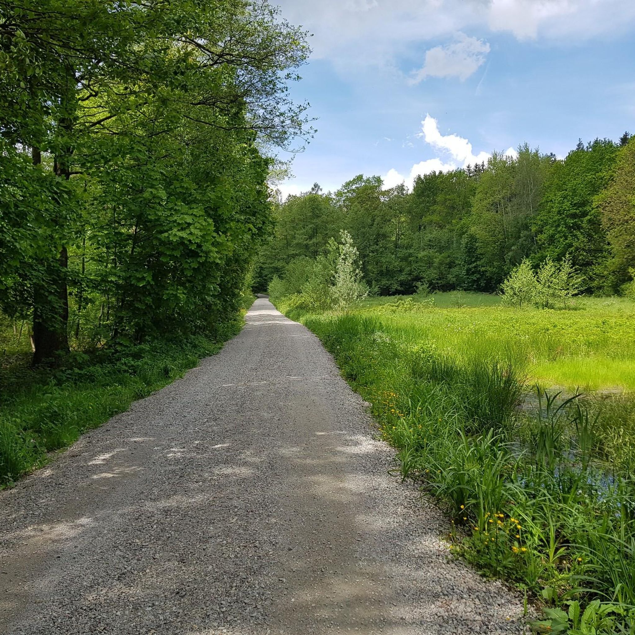
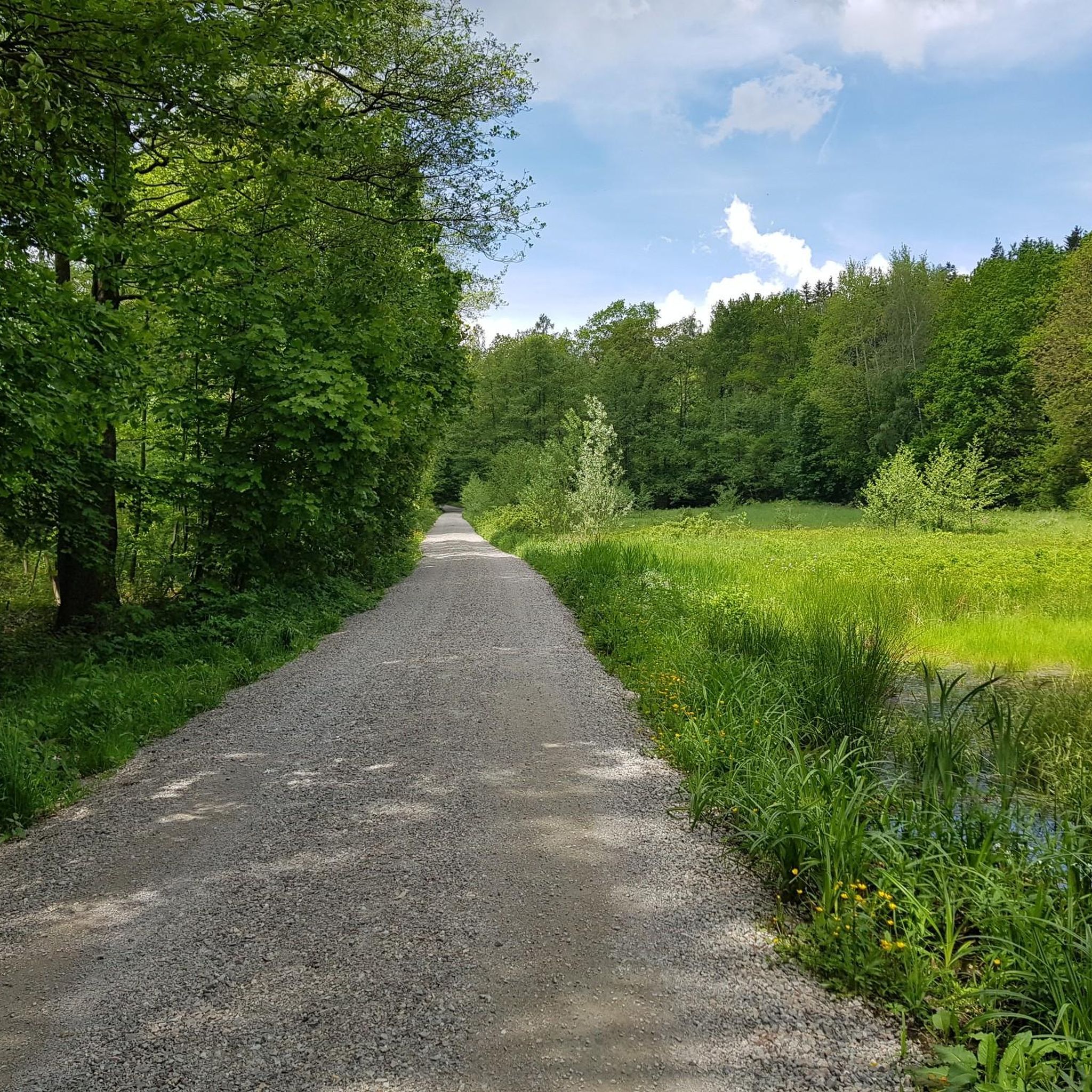
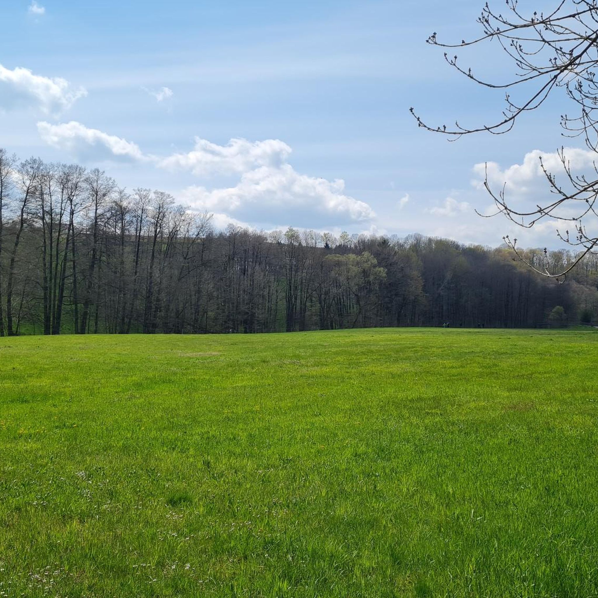
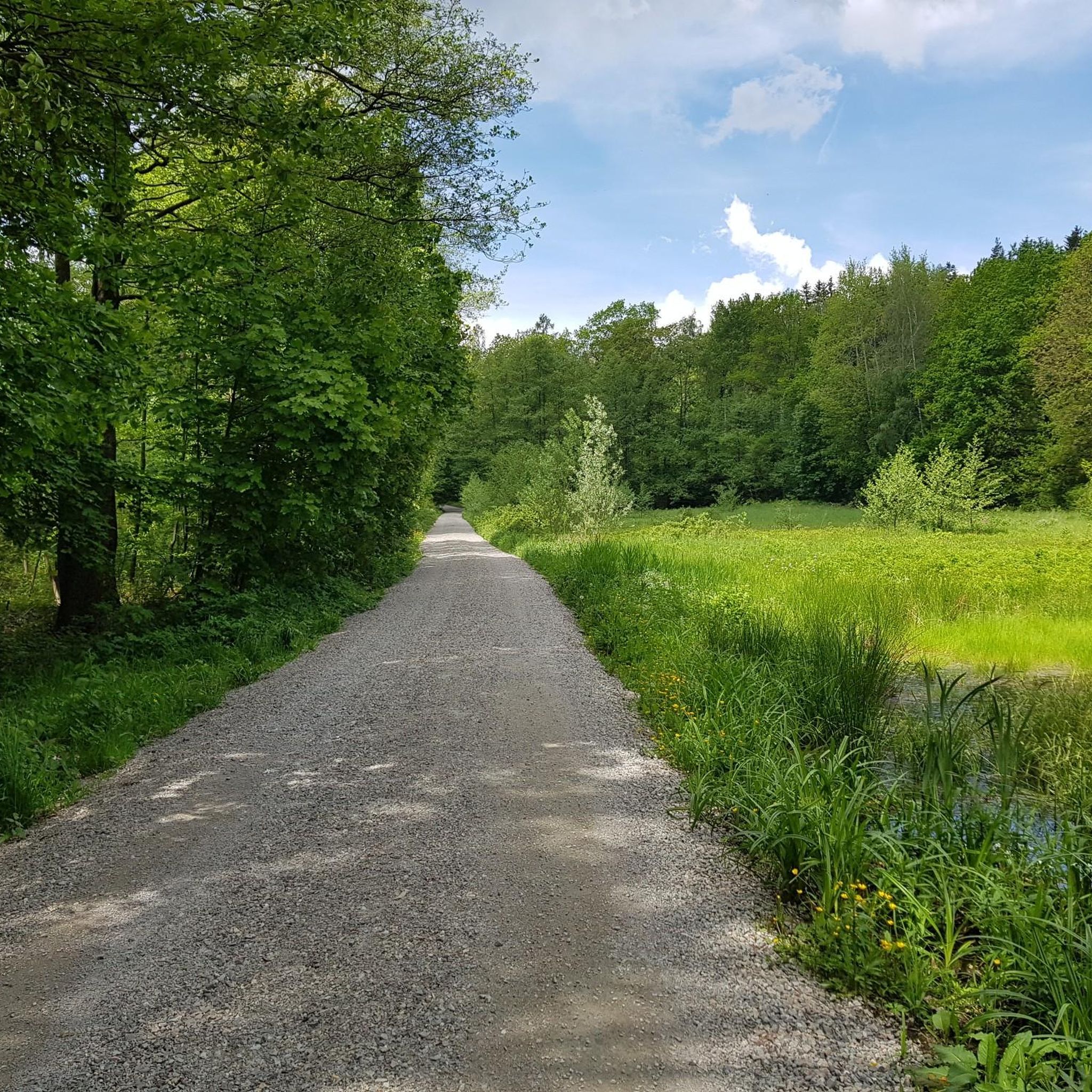

Tips from the Community

In the years 1910/11 it was built as a wooden bridge, hence the name, and allowed the works railway on its 3.7 km journey between the station and the dam construction to cross the "Langen Grund". The demolition of the wooden bridge and new construction in reinforced concrete took place in 1924 as the works railway line was used for the road layout. The bridge was technically checked and completely overhauled in 1992.
0
0
The dam of the Klingenberg reservoir is an arched gravity dam made of rubble masonry according to the Intze principle. Remarkable about this listed dam is the striking crown structure in the middle. A public path leads across the dam. The reservoir has a pre-dam, whose closing structure is an earth dam, and two forebays. The Lehnmühle reservoir is also part of the system, which had the function of a pre-dam until its construction and is today primarily a controlled part of the drinking water supply and flood defense. The raw water is diverted to the Dresden-Coschütz waterworks via the Dorfhain and Tharandt hydroelectric power plants. At the foot of the dam are the waterworks and the Klingenberg hydroelectric power plant. The flood of the Wilde Weißeritz in 2002 caused damage (scouring), especially at the dam's spillway and the 150 m long cascade flood relief with its seven drop stages. It was only designed for a maximum flood of 86 cubic meters per second, but there were peak discharges of 160 m³/s.
0
0
The Klingenberg dam in the eastern Ore Mountains is a picturesque reservoir and an important drinking water reserve. It was built between 1908 and 1914. The charming circular hiking trail is perfect for nature lovers, walkers, and families. The dam was built from 1908 near Klingenberg in the foothills of the Osterzgebirge according to an architectural design by Hans Poelzig. In 1914, the dam went into operation and was named after the last Saxon king: Friedrich-August-Talsperre. The impounded body of water is the Wilde Weißeritz. Its construction was part of a flood protection concept that was developed after the devastating flood of 1897 in the Dresden-Altstadt district under the leadership of district administrator and dam commissioner Arnold Streit. During construction, a standard-gauge works railway was laid from Klingenberg-Colmnitz station to the construction site, which operated from 1911 to 1914. The Höhenweg trail now runs along its route over the Streichholzbrücke (matchstick bridge).
0
0

This is not the view of the Lichtenberg dam, but of the Klingenberg dam.
0
0

There is also a pretty resting place here
0
0
Direct at Klingenberg-Colmnitz train station
1
0
Small, beautiful rest area on the Seerentalweg
3
0

Possibility of a circular hike or (bicycle) tour near the water, more visibility than at other dams, numerous benches, a mini-beach on the eastern shore, bird watching, a restaurant on the dam wall - in short: suitable for a day trip.
0
0
Frequently Asked Questions
How many running routes are available in Dorfhain?
Dorfhain offers a wide selection of over 250 running routes. These paths cater to various fitness levels, with options ranging from easy strolls to more challenging runs through the diverse landscape.
Are there easy running paths suitable for beginners in Dorfhain?
Yes, Dorfhain provides over 30 easy running paths perfect for beginners or those looking for a relaxed jog. Many routes feature gentle terrain through forests and along tranquil waterways. A good option to start with is the Running loop from Höckendorf, which is moderate but relatively short and offers a pleasant experience.
What kind of scenery can I expect on jogging routes around Dorfhain?
Jogging routes in Dorfhain are characterized by a rich variety of natural landscapes. You'll find extensive forest areas, scenic river valleys like the Rabenauer Grund, and gentle hills at the foot of the Osterzgebirge mountains. Many paths incorporate tranquil waterways, preserved natural areas, and even historical elements like the narrow-gauge Weißeritztalbahn railway.
Are there any circular running routes in Dorfhain?
Yes, many of the running routes in Dorfhain are circular, offering convenient starting and ending points. For example, the Seerenteich – Seer Pond loop from Dorfhain is a popular moderate circular path that takes you around a tranquil pond.
Can I find routes with viewpoints or interesting landmarks?
Absolutely. Dorfhain's running routes often lead to scenic viewpoints and pass by interesting landmarks. The Lips-Tullian Rock Viewpoint loop from Klingenberg-Colmnitz is a great example, leading through forested areas to a notable vista. You might also encounter natural monuments like the Devil's Pulpit or historical structures like the Weisseritz Valley Stone Arch Bridge.
Are there any running trails near water or lakes?
Yes, Dorfhain offers several running trails that feature water elements. The Seerenteich – Seer Pond loop from Dorfhain circles a tranquil pond, providing a peaceful running experience. You can also find routes around the Grillenburg Swimming Pond and the Old Raftsmen's Pond, or along the Red Weißeritz river in the Rabenauer Grund.
What do other runners say about the trails in Dorfhain?
The running routes in Dorfhain are highly rated by the komoot community, with an average score of 4.5 stars from over 270 reviews. Runners frequently praise the quiet woodlands, well-maintained paths, and the beautiful natural surroundings, especially in areas like the Rabenauer Grund.
Are there any routes that pass through the Tharandter Wald?
Yes, the extensive Tharandter Wald (Tharandt Forest) is directly accessible from Dorfhain and offers numerous opportunities for jogging. Many routes, such as the Grillenburg Ponds – Grillenburg Hunting Lodge loop from Tharandt, take you through this beautiful forest, providing a refreshing experience amidst nature.
Can I combine my run with a visit to a natural reserve?
Absolutely. The Rabenauer Grund Nature Reserve is a prime example, offering a fantastically beautiful and easy-to-walk path along the Red Weißeritz river. Jogging here allows you to enjoy idyllic natural surroundings and diverse flora and fauna.
What is the typical length and duration of running routes in Dorfhain?
Running routes in Dorfhain vary in length and duration to suit different preferences. Many routes can be completed within two hours, with distances ranging from around 3.6 miles (5.8 km) for shorter loops like the Seerenteich – Seer Pond loop, to longer trails such as the Klingenberg Dam – Klingenberg Reservoir loop, which is 8.3 miles (13.4 km) and takes about 1 hour 27 minutes.
Are there any routes that offer a glimpse into the region's history?
Yes, some running routes in Dorfhain allow you to experience the region's rich history. The Rabenauer Grund, for instance, features the narrow-gauge Weißeritztalbahn railway crossing the Red Weißeritz River over impressive stone arch and steel girder bridges, adding a unique historical and scenic element to your run. You might also find trails connected to the area's mining history, such as the Aurora Erbstollen Silver Mine.
Most popular attractions around Dorfhain

Get inspired with the komoot mobile app


Explore more
Browse the best Running Trails & Routes in other regions.
