The best walks and hikes around Dorfhain
4.6
(225)
774
hikers
73
hikes
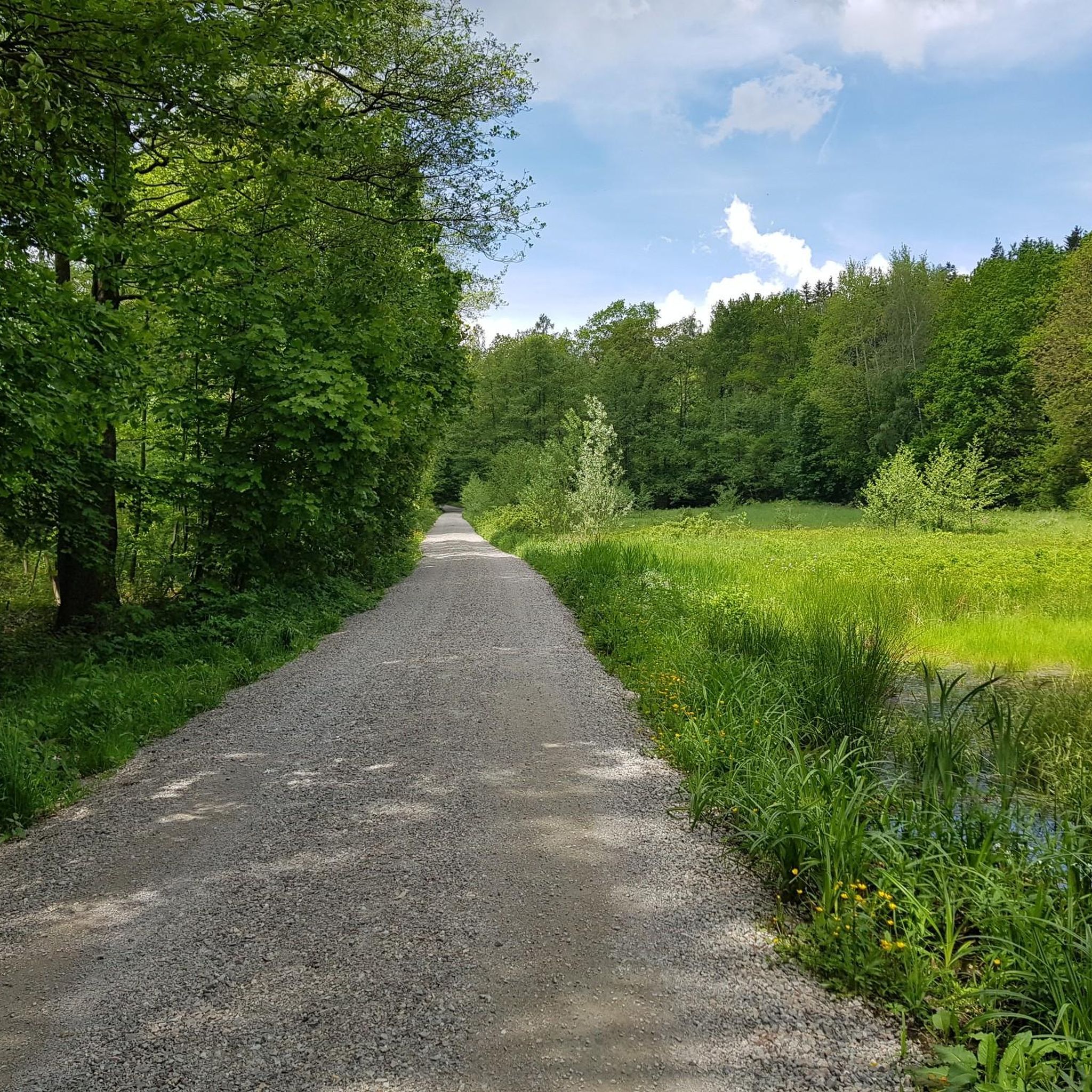
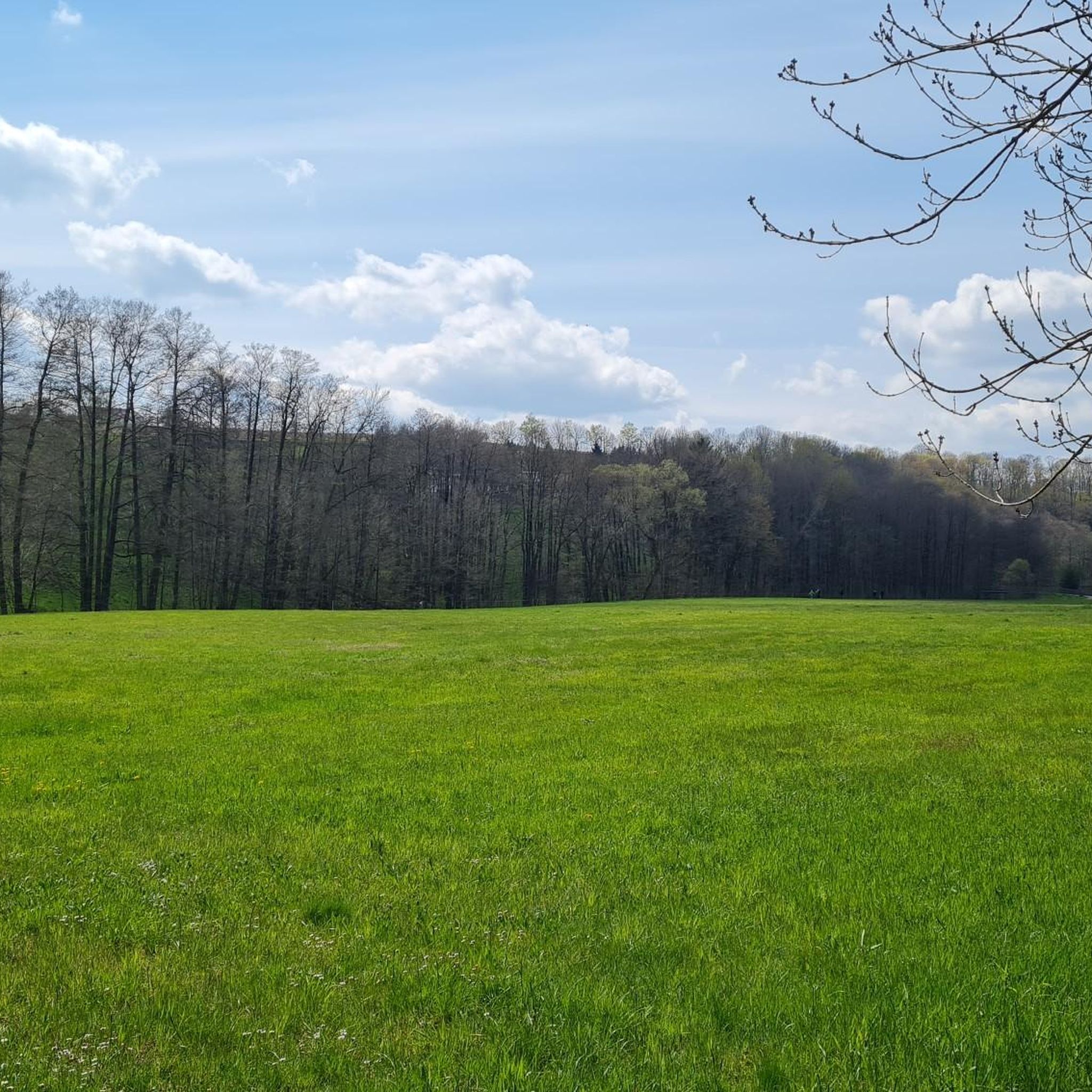
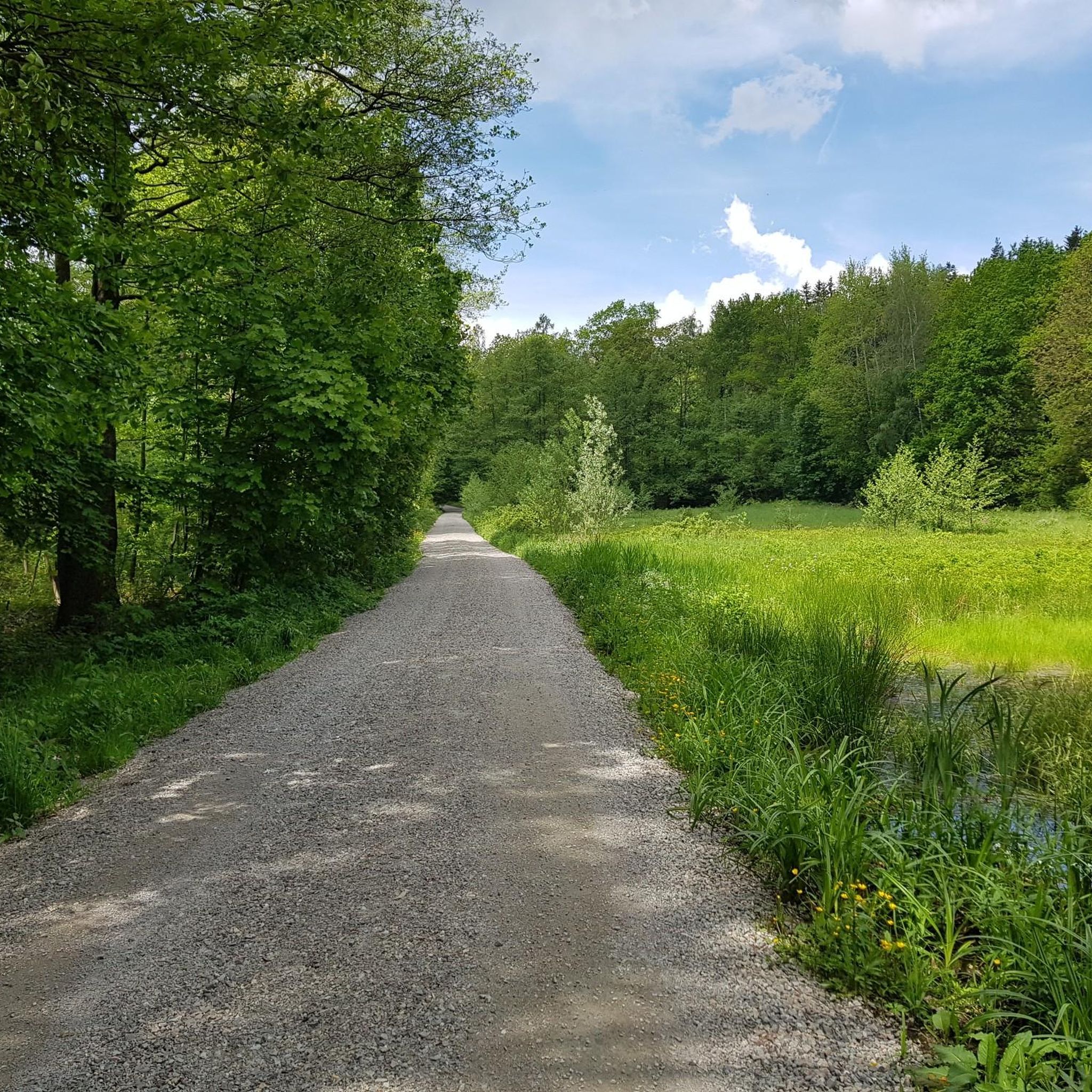
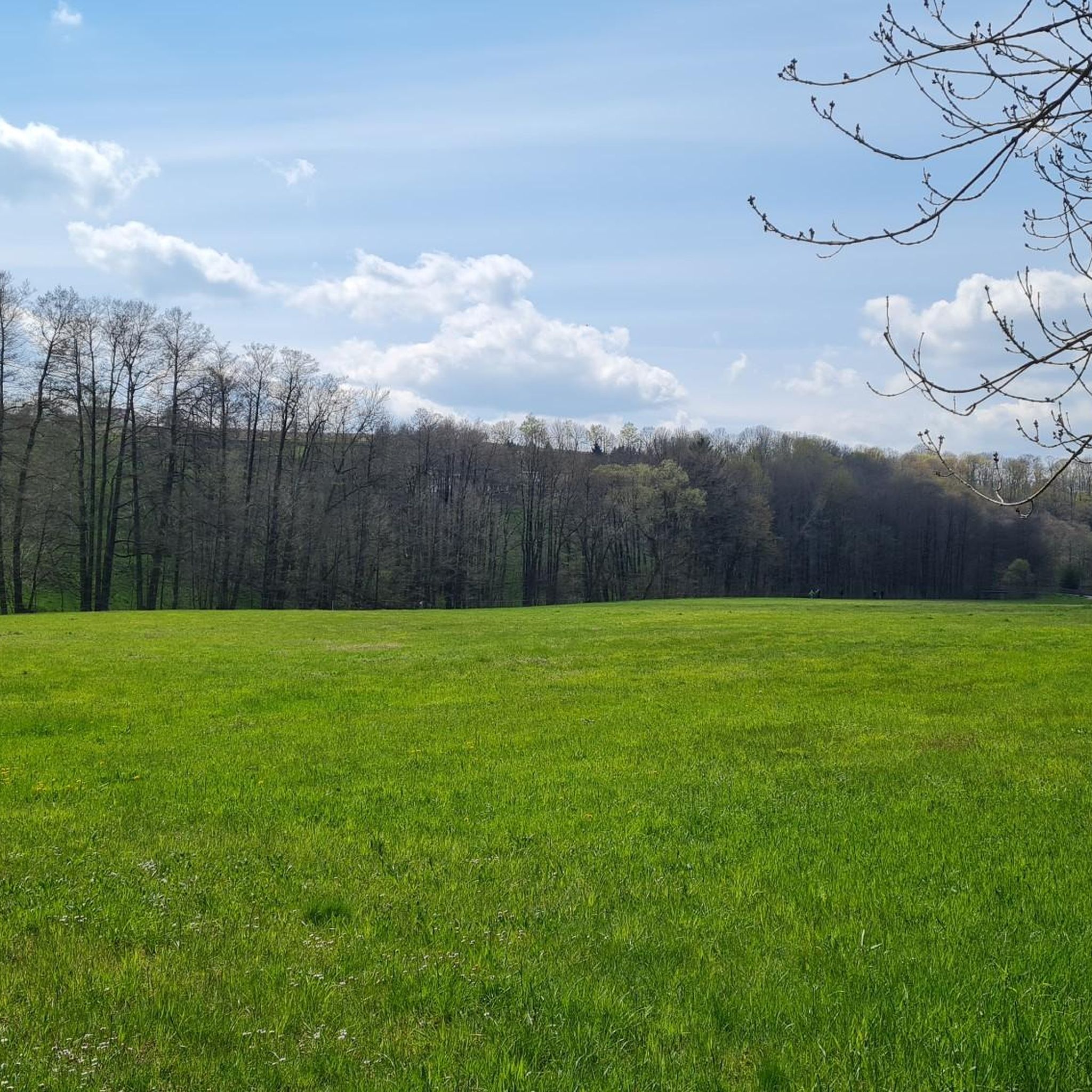
Hiking around Dorfhain offers diverse natural landscapes, including the Wild Weißeritz Valley and the picturesque Rabenauer Grund. The region is characterized by dense forests, rolling hills, and steep valleys, providing varied terrain for outdoor activities. Situated between the Tharandter Wald and the foothills of the Osterzgebirge mountains, Dorfhain features a network of well-maintained trails. These natural features create an appealing setting for hikers.
Best hiking trails around Dorfhain
- The most popular hiking route is Old Raftsmen's Pond – Markgrafenstein loop…
Last updated: October 13, 2026
4.6
(27)
66
hikers
9.70km
02:38
140m
140m
Moderate hike. Good fitness required. Easily-accessible paths. Suitable for all skill levels.
4.6
(14)
42
hikers
Moderate hike. Great for any fitness level. Mostly accessible paths. Sure-footedness required.

4.7
(24)
81
hikers
Moderate hike. Good fitness required. Easily-accessible paths. Suitable for all skill levels.
4.8
(11)
39
hikers
12.8km
03:26
150m
150m
Moderate hike. Good fitness required. Easily-accessible paths. Suitable for all skill levels.
4.8
(9)
27
hikers
5.78km
01:35
90m
90m
Easy hike. Great for any fitness level. Easily-accessible paths. Suitable for all skill levels.
Get access to more routes and recommendations from other explorers.
Already have an account?
Our route recommendations are based on thousands of hikes, rides, and runs completed by other people on komoot.
Start today with a free account
Your next adventure awaits.

Tips from the Community

A very nice little hike in a wonderful landscape. I've been there many times. The "Waldschänke" (forest inn) above the dam and the hotel right on the dam invite you to stop for refreshments. Jörg
0
0


The Aurora Erbstolln is an ideal hiking destination. Opening hours: April-October, every Saturday from 10:00 AM to 2:30 PM. Guided tour: Underground with helmet and lamp, duration approx. 35 to 60 minutes. Admission: Adults €4.50, children from 6 years €3.50. Special feature: Only walkable silver mine on the Silberstraße between Freiberg and Dresden.
1
0
The Reicher Silbersegen mine is a small, historic exploratory tunnel (operational period approx. 1866–1896) for silver ores in the valley of the Wilden Weißeritz. It is located south of Tharandt, on the municipal border between Dorfhain and Edle Krone. The tunnel, almost 35 m long, was economically insignificant. Today, the entrance is easily accessible from the Barthmühle during a hike, but it is not publicly accessible.
0
0
The Klingenberg dam is a significant dam in the Osterzgebirge, built between 1908 and 1914. It impounds the Wilde Weißeritz into a lake approximately 3.5 km long and serves primarily for the drinking water supply of Dresden and parts of the surrounding area, as well as for flood protection. The view of the dam wall from the AP, which is located directly opposite the dam crest, is particularly impressive.
1
0

There is also a pretty resting place here
0
0
This barbecue area can be rented from the tenant.
1
0
Rest bench with a beautiful view of the dam
0
0
Frequently Asked Questions
How many hiking trails are available in Dorfhain?
Dorfhain offers a wide selection of outdoor adventures, with over 70 hiking trails to explore. These routes cater to various preferences, from leisurely strolls to more challenging excursions through the region's diverse landscapes.
What kind of terrain will I encounter on hikes around Dorfhain?
The terrain around Dorfhain is quite varied, characterized by dense forests, rolling hills, and steep valleys. You'll find paths winding through the picturesque Wild Weißeritz Valley, along the riverbeds of the Rabenauer Grund, and within the expansive woodlands of the Tharandter Wald. Expect a mix of natural floodplains, forest slopes, and some historical mining areas.
Are there easy hiking options suitable for beginners or families in Dorfhain?
Yes, Dorfhain has plenty of easy hiking options. Approximately 30 of the trails are rated as easy, perfect for beginners or families looking for a relaxed outing. An example is the Rock with Poem Plaque – Stübemühle Ruins loop from Dorfhain, which is an easy 3.6-mile (5.8 km) path through pleasant woodlands.
What are some notable natural features or landmarks to see while hiking in Dorfhain?
Dorfhain's hiking trails lead to several significant natural features and landmarks. You can explore the Rabenauer Grund Nature Reserve, known for its picturesque gorge and the Red Weißeritz river. Other highlights include the Klingenberg Dam, offering scenic views, and the historic Ruins of Tharandt Castle. The region also features the Devil's Pulpit and the Somsdorf Gorge.
Are there any circular hiking routes in Dorfhain?
Many of the trails around Dorfhain are designed as circular routes, allowing you to start and end at the same point. These loops often incorporate various points of interest. For instance, the Grillenburg Swimming Pond – Seer Pond loop from Dorfhain is a moderate 8-mile (12.8 km) circular hike that takes you past tranquil waters.
Is Dorfhain suitable for dog-friendly hiking?
Yes, Dorfhain is generally very dog-friendly. The extensive network of forest paths and natural trails provides ample space for dogs to enjoy. Always remember to keep your dog on a leash where required, especially in nature reserves, and carry waste bags. Many local routes are perfect for a walk with your canine companion.
What is the best time of year to go hiking in Dorfhain?
Dorfhain offers beautiful hiking experiences throughout the year. Spring brings blooming wildflowers to the floodplains, while summer provides lush green forests. Autumn is particularly scenic with vibrant fall foliage. Even in winter, the snow-covered landscapes can be magical, though some paths might be more challenging. The region's varied climate means there's always something to appreciate.
What do other hikers enjoy most about hiking in Dorfhain?
The komoot community highly rates the hiking experience in Dorfhain, with an average score of 4.6 stars from over 180 reviews. Hikers frequently praise the diverse natural landscapes, the well-maintained trails, and the peaceful atmosphere of areas like the Wild Weißeritz Valley and the Rabenauer Grund. The blend of natural beauty and historical sites, such as the Aurora Erbstollen Silver Mine, is also a popular highlight.
Are there any historical sites or cultural attractions accessible via hiking trails?
Yes, Dorfhain's trails often lead to or pass by interesting historical sites. The region has a mining heritage, and you can find routes that incorporate this history. For example, the Aurora Erbstollen Silver Mine – View of Klingenberg Dam loop from Dorfhain takes you through historical mining areas. The Ruins of Tharandt Castle are also nearby and can be integrated into longer hikes.
How can I get to the hiking trailheads in Dorfhain, and is parking available?
Dorfhain is accessible by car, and parking is generally available near popular trailheads and in the village center. For those relying on public transport, local bus services connect Dorfhain with surrounding towns, which can provide access to various starting points for hikes. It's advisable to check local transport schedules in advance.
Are there any challenging hikes in Dorfhain for experienced hikers?
While Dorfhain offers many easy to moderate trails, some routes present more challenging sections, particularly those with steeper ascents and descents in the valleys. The region has 40 moderate trails, which can provide a good workout. The varied topography of the Tharandter Wald and the foothills of the Osterzgebirge mountains offer opportunities for longer, more strenuous hikes for those seeking a greater challenge.
Most popular attractions around Dorfhain

Get inspired with the komoot mobile app


Explore more
Browse the best Hikes in other regions.
