The best running trails around Püttlingen
4.2
(60)
1,259
runners
41
runs
Jogging routes around Püttlingen offer a diverse landscape for outdoor activities. The region is characterized by its picturesque location on the banks of the Köllertalsperre, an idyllic lake landscape. Runners can explore attractive valleys like the Köller and Burbach, alongside elevated areas that provide panoramic views. The presence of forests and well-maintained paths contributes to a varied running experience.
Best jogging routes around Püttlingen
- The most popular jogging route is Cycle path – Oweiher Pond and Playground loop from Püttlingen…
Last updated: October 8, 2026
4.6
(17)
262
runners
12.1km
01:22
260m
260m
Moderate run. Good fitness required. Mostly paved surfaces. Suitable for all skill levels.
5.0
(1)
118
runners
12.5km
01:19
60m
60m
Moderate run. Good fitness required. Mostly paved surfaces. Suitable for all skill levels.

3.5
(2)
96
runners
12.1km
01:15
50m
50m
Moderate run. Good fitness required. Mostly paved surfaces. Suitable for all skill levels.
4.6
(7)
79
runners
11.8km
01:15
130m
130m
Moderate run. Good fitness required. Mostly paved surfaces. Suitable for all skill levels.
2.0
(2)
65
runners
Moderate run. Good fitness required. Mostly paved surfaces. Suitable for all skill levels.
Get access to more routes and recommendations from other explorers.
Already have an account?
Our route recommendations are based on thousands of hikes, rides, and runs completed by other people on komoot.
Start today with a free account
Your next adventure awaits.
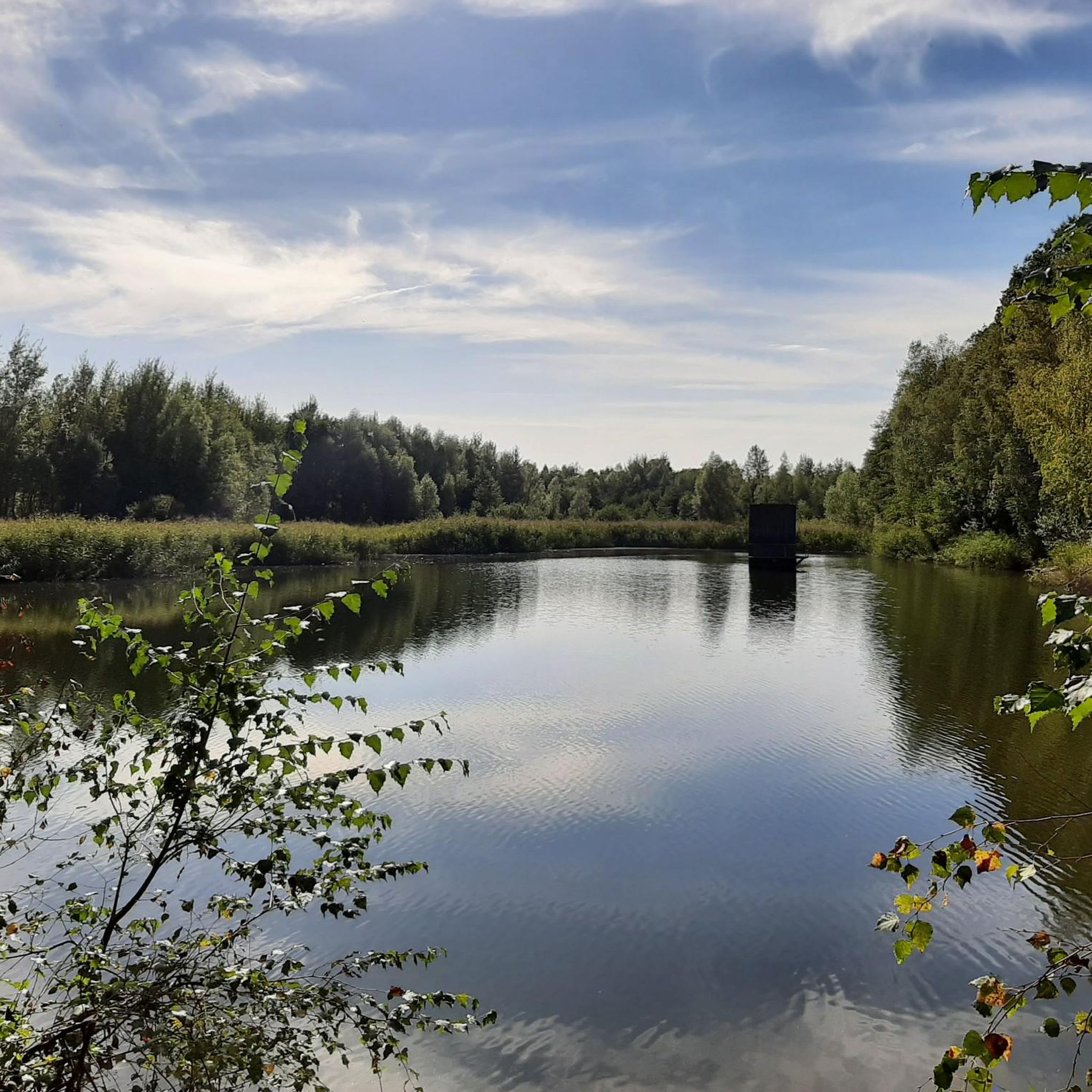
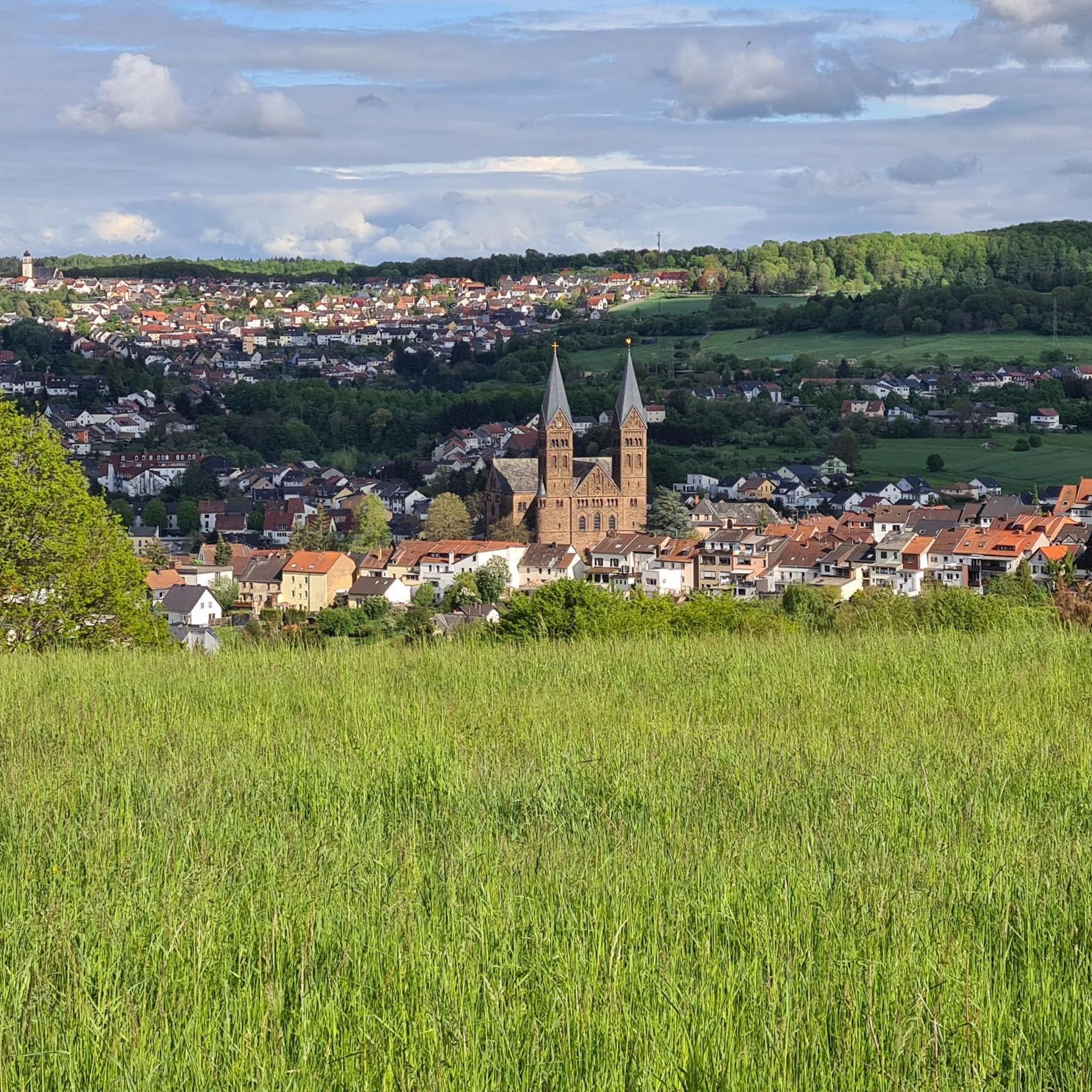
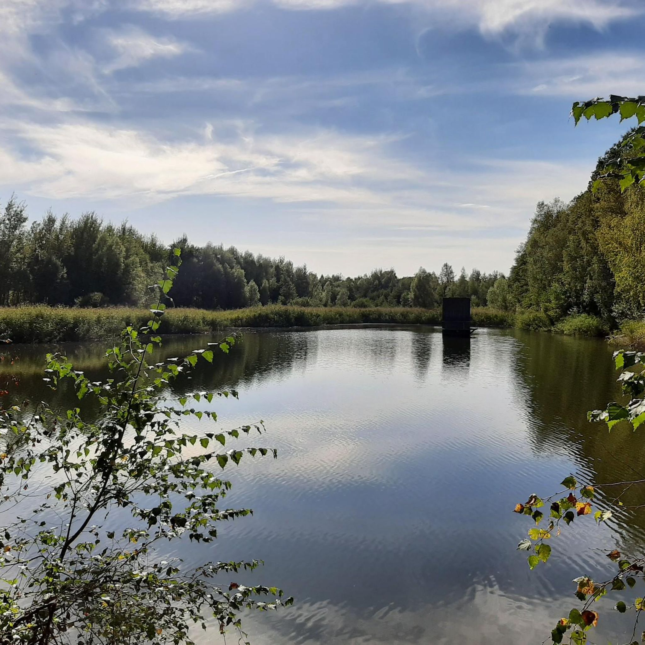
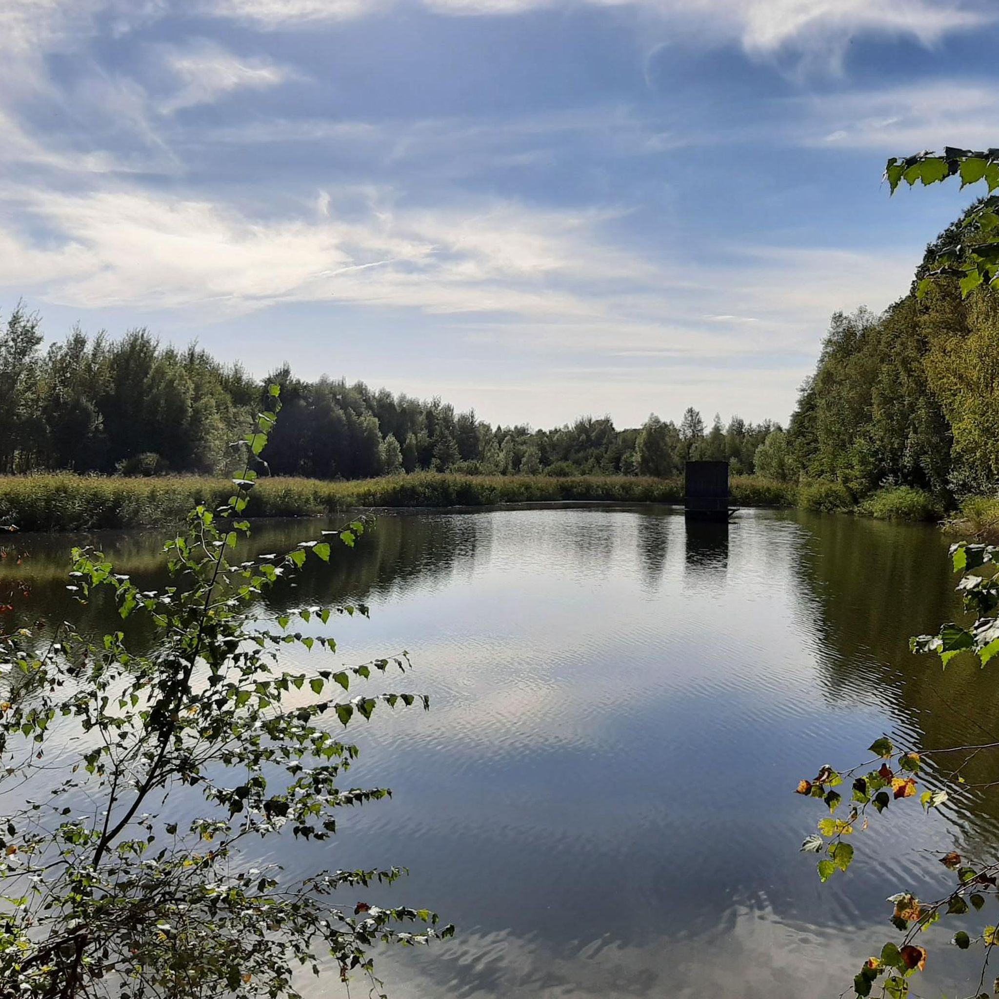
Tips from the Community

The gravel path leads over the ridge between Püttlingen and Elm/Derlen. Again and again you have a beautiful view into both valleys.
1
0


Great for sightseeing. Also with fast food
0
0

This wooden observation tower rises into the sky, amidst the countryside. From the top, you can enjoy a panoramic view of fields, forests, and the surrounding rolling hills—a truly memorable experience, especially in clear weather. A small shelter at the bottom invites you to take a break while the tower silently watches over the landscape. 🌤 Tip: Be sure to climb the few steps to the top—in good weather, you can see far and wide and feel the wind on your face.
0
1

Viktoria spoil heap, nicknamed Monte Schlacko. In the first half of the 20th century, several small spoil heaps were created here. In 1948, a high-pitched dump system was built, which further filled the small heaps, causing them to grow together to form what is now Viktoria spoil heap. After mining ceased, it towered 80 to 100 meters above the natural landscape. Since 1972, the spoil heap has been owned by the town of Püttlingen. Starting in 1976, the spoil heap was revegetated. As part of this, around 80,000 young trees were planted on the steep slopes of the Viktoria spoil heap. These included mainly maples, rowans, pines, alders, lindens, willows, poplars and wild roses. Over time, this planting developed into a dense vegetation. The spoil heap now features a viewing platform 403 m above sea level. 1,000 m above sea level and a summit cross. The formerly pyramid-shaped tip of the slag heap had to be removed to make way for this platform in 1975. From the plateau, one enjoys views of, among other things, the Weiher power plant, the Ensdorf slag heap, the Völklinger Hütte (Völklinger Ironworks), the Dillinger Hütte (Dillinger Ironworks), and the Warndt Forest. Around 2000, the slag heap circular trail was created as part of the Saar Regional Park project, connecting the Viktoria slag heap with other slag heaps located around the Saar coal forest. The Rocco del Schlacko festival also took place at the foot of the slag heap from 1999 to 2003.
2
0
Interesting wagon grave, illustrating the burial rituals of that time.
1
0
A beautifully maintained memorial, a place for reflection and as a warning in these turbulent times.
1
0
Always beautiful to look at. I was involved in the construction of the chariot grave and the Roman pavilions. My wife sewed the clothes for the doll in the chariot. You can see that time has left its mark there too. It's just a shame that the burial mounds are completely overgrown.
4
0
Frequently Asked Questions
How many running routes are available in Püttlingen?
Püttlingen offers a wide selection of running routes, with over 40 trails available for you to explore. These routes cater to various fitness levels, ensuring there's something for everyone.
What are the different difficulty levels for jogging trails in Püttlingen?
The running trails in Püttlingen are diverse, with 8 routes considered easy, 29 moderate, and 3 more challenging options for experienced runners. This variety ensures you can find a path that matches your fitness level.
Are there any family-friendly jogging routes in Püttlingen?
Yes, Püttlingen has several routes suitable for families. Many trails feature mostly paved surfaces and are considered easy or moderate, making them ideal for a family outing. For example, the Cycle path – Oweiher Pond and Playground loop is a moderate option that can be adapted for various fitness levels.
Can I find circular running routes in Püttlingen?
Absolutely. Many of the jogging routes in Püttlingen are designed as loops, offering convenient starting and ending points. Popular circular options include the Püttlingen Witch Tower – Martinskirche Kölln loop and the View of the Köllertal – Elm-Sprengen War Cemetery loop, both providing scenic experiences.
What kind of scenery can I expect on the running trails around Püttlingen?
Jogging in Püttlingen offers a picturesque experience. You'll encounter serene lake landscapes around the Köllertalsperre, attractive valleys like the Köller and Burbach, and elevated areas providing panoramic views. The presence of forests and well-maintained paths adds to the varied and scenic backdrop for your run.
Are there any historical landmarks or points of interest along the running routes?
Yes, some routes incorporate historical landmarks. For instance, the Püttlingen Witch Tower – Martinskirche Kölln loop passes by the 14th-century Witch Tower, which was once part of the town's fortifications. You can also find religious sites like the Marian Grotto, Schwarzenholz or the Marian Grotto nearby.
What do other runners say about the trails in Püttlingen?
The running routes in Püttlingen are highly regarded by the komoot community, boasting an average rating of 4.2 stars from over 50 reviews. More than 1000 runners have explored these trails, often praising the diverse terrain, well-maintained paths, and beautiful natural surroundings.
Are there any observation towers or viewpoints on the running trails?
Yes, some routes offer excellent viewpoints. For example, the Waldzeitallee – Krickelsberg Observation Tower loop leads you towards the Krickelsberg Observation Tower, providing elevated perspectives of the landscape. Additionally, the View of the Köllertal – Elm-Sprengen War Cemetery loop offers scenic views of the Köllertal.
Are there any natural monuments or unique geological features to see while running?
Beyond the scenic valleys and forests, you can find interesting natural features. The nearby Burning Mountain and the Hohlenstein Rock Formation are notable natural monuments that add to the region's appeal.
What is the longest running route available in Püttlingen?
For those seeking a longer challenge, the Hülzweiler Open-Air Stage – Waldzeitallee loop is a demanding route covering over 22 kilometers (13.8 miles) with significant elevation gain, requiring very good fitness.
Are there any facilities like huts or information centers near the running trails?
Yes, you can find facilities in the vicinity. The Kirschheck Nature Friends' House and the NABU Forest Information Center Forsthaus Neuhaus are examples of places where you might find amenities or information.
Most popular routes around Püttlingen
Most popular attractions around Püttlingen

Get inspired with the komoot mobile app


Explore more
Browse the best Running Trails & Routes in other regions.
