The best running trails around Waldweiler
4.4
(171)
3,837
runners
290
runs
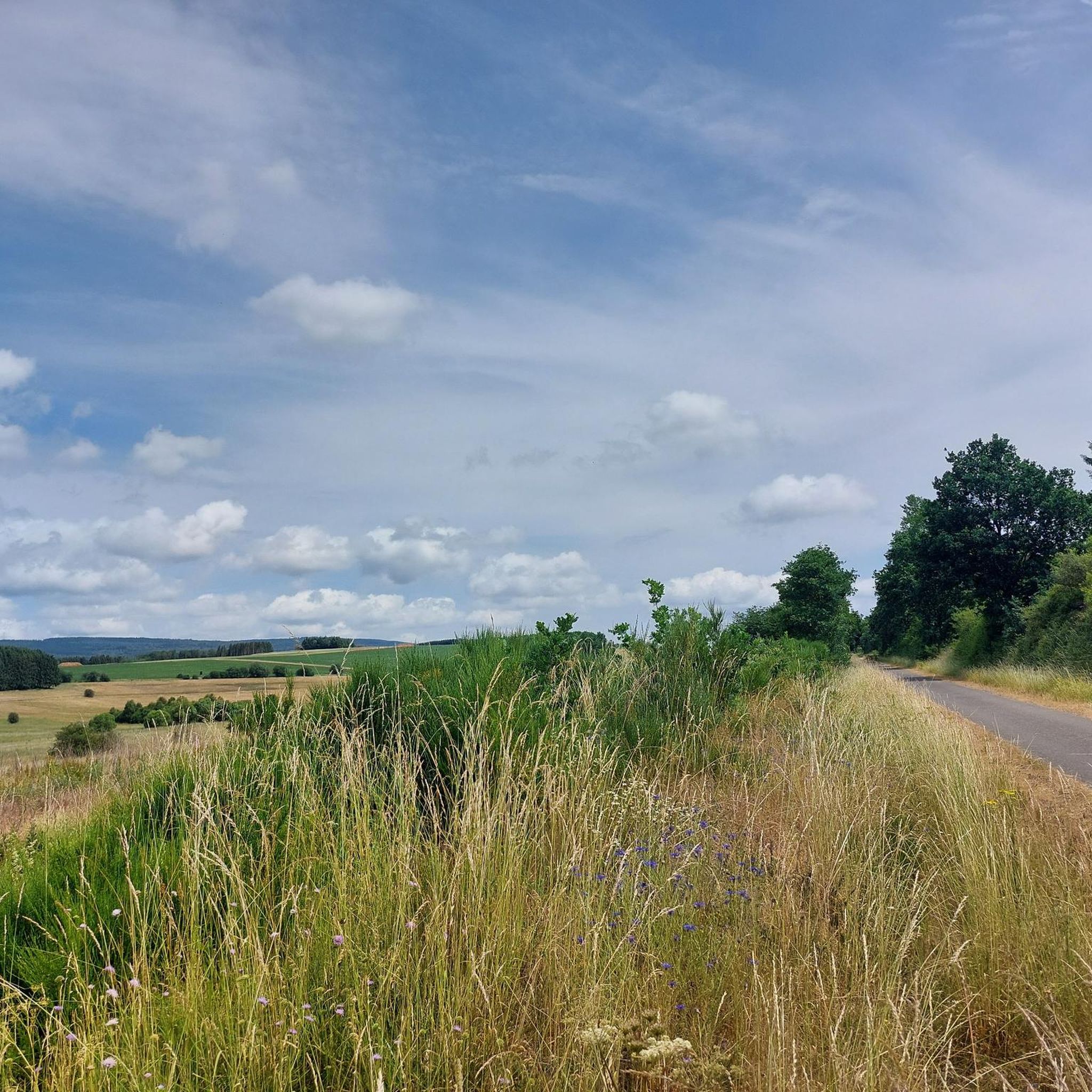
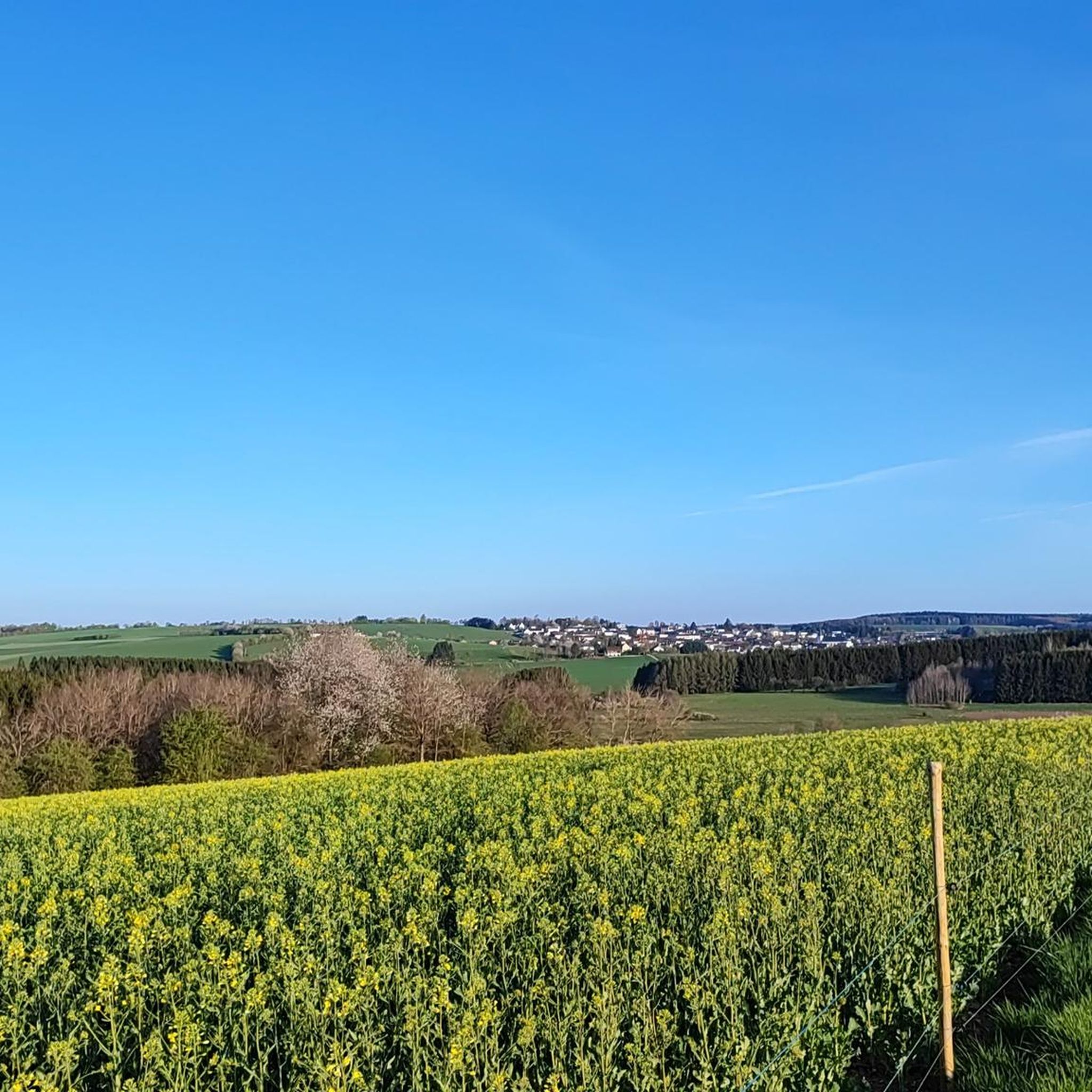
Jogging routes around Waldweiler traverse diverse landscapes, characterized by rolling hills and dense forests, including the extensive Osburger Hochwald. The region features varied elevation profiles, providing both challenging and relaxed running experiences. Water bodies like the Keller See and the idyllic pond in the village park offer tranquil settings for runs. The network of trails provides access to natural features such as the Bohnental Valley and the Ruwer spring.
Best jogging routes around Waldweiler
- The most popular jogging route is…
Last updated: May 18, 2026
4.7
(3)
56
runners
15.0km
01:46
240m
240m
Hard run. Very good fitness required. Mostly paved surfaces. Suitable for all skill levels.
5.0
(1)
33
runners
24.1km
02:41
280m
280m
Hard run. Very good fitness required. Mostly paved surfaces. Suitable for all skill levels.

Sign up for free
16
runners
6.69km
00:42
70m
70m
Moderate run. Good fitness required. Mostly paved surfaces. Suitable for all skill levels.
17
runners
6.83km
00:43
60m
60m
Moderate run. Good fitness required. Mostly paved surfaces. Suitable for all skill levels.
9
runners
7.75km
00:50
110m
110m
Moderate run. Good fitness required. Mostly paved surfaces. Suitable for all skill levels.
Get access to more routes and recommendations from other explorers.
Sign up for free
Already have an account?
Our route recommendations are based on thousands of hikes, rides, and runs completed by other people on komoot.
Start today with a free account
Your next adventure awaits.
Login or Signup
Other adventures around Waldweiler

Tips from the Community

Parking is available directly at the starting point.
0
0

Possibility to stop for refreshments at the lake
0
0
Unfortunately no SUP allowed
0
0

Very nice cycle path on a former railway line.
0
0

Unfortunately, the path and the area around the hut have been destroyed by the deforestation vehicles. Good footwear is required.
0
0

Reservoir, which can be comfortably walked around on wide paths (also suitable for strollers), beautiful views along the route included as well as the opportunity to stop off at Hau's am See (it is particularly nice on the terrace directly on the lake) and pedal boat rental included.
1
0
Frequently Asked Questions
How many running routes are available around Waldweiler?
Waldweiler offers a wide selection of running routes, with over 250 trails available for you to explore. These routes cater to various fitness levels, from easy jogs to more challenging long-distance runs.
What kind of terrain can I expect on the jogging trails in Waldweiler?
The jogging trails in Waldweiler feature diverse landscapes, including extensive forested areas like the Osburger Hochwald, rolling hills, and tranquil water bodies such as the Keller See. You'll find paths through lush valleys like the Bohnental and open meadows, providing varied elevation profiles and scenic backdrops for your run.
When is the best time of year for jogging in Waldweiler?
The best seasons for jogging in Waldweiler are typically spring and autumn. During these times, the blossoming nature or the vibrant golden and red foliage create a particularly picturesque environment, making your run even more enjoyable.
Are there easy running routes suitable for beginners or families in Waldweiler?
Yes, Waldweiler has several easy running options perfect for beginners or families. For instance, the Keller Reservoir – Keller Reservoir loop from Schillingen is an easy 2.2-mile (3.6 km) trail. Additionally, the 'Generation Park' in Waldweiler features an approximately 2 km long nature trail around a pond, offering a gentle and informative route. Overall, there are 22 easy routes available.
Are there challenging running routes for experienced runners in Waldweiler?
Absolutely. For experienced runners seeking a demanding workout, Waldweiler offers challenging routes with significant elevation changes. The Ruwer-Hochwald Cycle Path – Ruwerquelle Trail loop from Mandern is a difficult 14.9-mile (24.0 km) trail. The nearby 'Der Saar-Hunsrück-Steig' also provides more challenging routes with spectacular views. There are 30 difficult routes in total.
Are there dog-friendly jogging routes in Waldweiler?
Many of the natural trails in Waldweiler are suitable for jogging with dogs, provided they are kept on a leash and you follow local regulations. The extensive forested areas and open paths offer plenty of space for you and your canine companion to enjoy a run together. Always ensure your dog is well-behaved and that you clean up after them.
Can I find circular jogging routes in Waldweiler?
Yes, circular routes are a popular feature in Waldweiler. Many trails, such as the 'Waldweiler Rundweg' and the 'Panoramaweg', are designed as loops. The Hau's at the Lake Beer Garden – Keller Lake loop from Heddert is a moderate 9.2-mile (14.9 km) circular path around Keller Lake. The 'Traumschleife Hochwald Acht' is another certified circular trail combining forests, open landscapes, and idyllic water stretches.
What natural landmarks or points of interest can I see along the running trails?
Waldweiler's running trails pass by several interesting natural landmarks. You might encounter features like the Adelsfelsen or the Highest point of the Felsenweg (569 m). The region also boasts the historic Ruwer spruce and the Ruwer spring. The Keller Reservoir is a prominent water body offering scenic views along many routes.
Are there running routes that pass by water bodies?
Yes, several running routes in Waldweiler feature beautiful water bodies. The Keller Reservoir – Keller Reservoir loop from Kell am See is a moderate 4.1-mile (6.7 km) route that circles the tranquil Keller Reservoir. Additionally, the village park in Waldweiler has an idyllic pond with a nature trail around it, perfect for a peaceful run.
What do other runners enjoy most about jogging in Waldweiler?
The running routes in Waldweiler are highly rated by the komoot community, with an average score of 4.5 stars from over 150 reviews. Runners frequently praise the diverse landscapes, from dense forests to rolling hills, and the tranquil settings offered by water bodies like the Keller See. The well-developed trail network and varied elevation profiles are also often highlighted as key attractions.
Is there parking available near the trailheads in Waldweiler?
Yes, parking is generally available near many of the trailheads in and around Waldweiler. For popular routes like those around the Keller See or the 'Traumschleife Hochwald Acht', designated parking areas are usually provided to accommodate visitors. It's advisable to check specific route details for precise parking information.
Are there any historical trails suitable for running in Waldweiler?
Yes, the 'Römerpfad' (Roman Path) is an easier trail near Waldweiler that follows the route of an old Roman road. This path is suitable for a relaxed jog and offers a unique blend of natural beauty and historical insights along the way, making for an interesting running experience.
Most popular routes around Waldweiler
Most popular attractions around Waldweiler

Get inspired with the komoot mobile app


Explore more
Browse the best Running Trails & Routes in other regions.
