The best walks and hikes around Waldweiler
4.6
(10857)
38,193
hikers
26
hikes
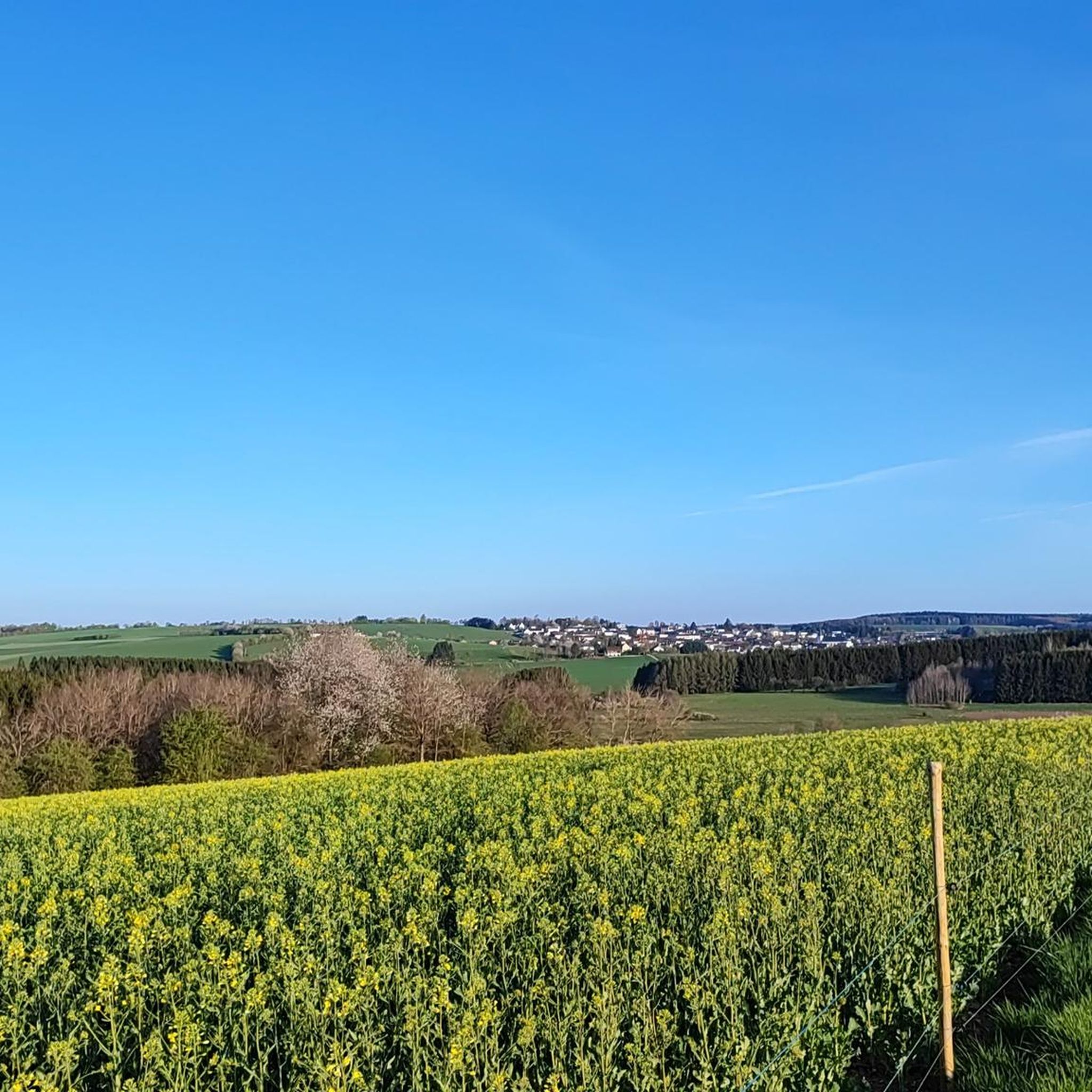
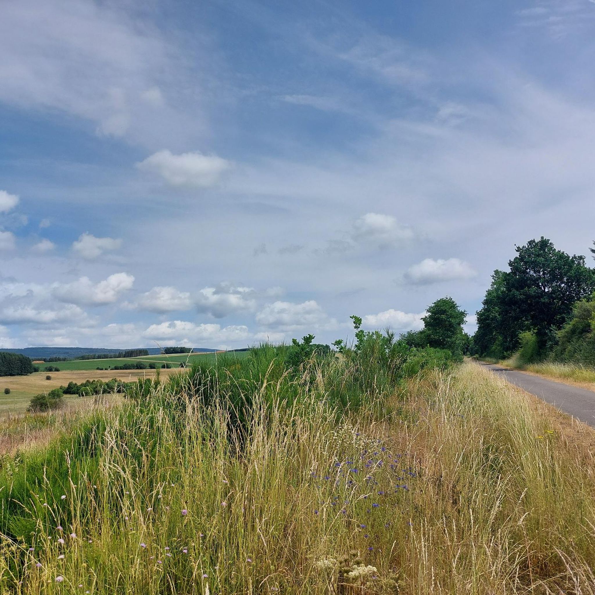
Hiking around Waldweiler offers a diverse landscape characterized by dense forests, scenic mountains, and picturesque valleys. The region features prominent forest areas like the Osburger Hochwald, along with natural waterways such as the Bohnental valley. Hikers can explore varied terrain, including distinctive meadows, fields, and unique rock formations like Devil's Rock. The area provides an ideal setting for exploration for both novice and experienced hikers.
Best hiking trails around Waldweiler
- The most popular hiking route is Keller Mulde Nature Reserve…
Last updated: October 3, 2026
4.7
(42)
142
hikers
10.1km
02:43
120m
120m
Moderate hike. Good fitness required. Easily-accessible paths. Suitable for all skill levels.
4.0
(3)
10
hikers
Moderate hike. Good fitness required. Easily-accessible paths. Suitable for all skill levels.

4.0
(1)
10
hikers
5.96km
01:37
80m
80m
Easy hike. Great for any fitness level. Easily-accessible paths. Suitable for all skill levels.
5.0
(4)
16
hikers
4.92km
01:18
50m
50m
Easy hike. Great for any fitness level. Easily-accessible paths. Suitable for all skill levels.
4.5
(2)
10
hikers
3.11km
00:49
30m
30m
Easy hike. Great for any fitness level. Easily-accessible paths. Suitable for all skill levels.
Get access to more routes and recommendations from other explorers.
Already have an account?
Our route recommendations are based on thousands of hikes, rides, and runs completed by other people on komoot.
Start today with a free account
Your next adventure awaits.
Other adventures around Waldweiler

Tips from the Community

In the heart of the Hochwald forest lies the 270-hectare "Keller Mulde" nature reserve, characterized by its species-rich wet meadows, fen forests, and valuable habitats. Numerous rare animal and plant species find refuge here – from butterflies and meadow birds to meadow clover and knotweed. 🪶 Tip: If you really want to experience nature, you should consciously walk slowly here. Between dragonflies, buzzing insects, and gentle meadow waves, every break feels special – a quiet gem of the region.
0
0
Nestled in the countryside, this lovingly designed information panel explains the importance of traditional orchards for nature, people, and the landscape. It vividly explains how biodiverse these traditional cultural landscapes are – and why their preservation is so important. 🌿 Tip: Take a moment and read the panel – it's especially fascinating for families or anyone interested in learning more about fruit varieties, habitats, and biodiversity. A peaceful, educational stop right on the hiking trail. ⸻
0
0
Inviting, quiet, and charming, the Simon-Mühle guesthouse is nestled away from the hustle and bustle—perfect for hikers, those seeking relaxation, and small celebrations. The beautifully designed display case reveals that passion has gone into every detail. Particularly pleasant: the family-friendly atmosphere and the well-maintained outdoor area. 🌿 Tip: Ideal for a stopover or overnight stay along the hiking trail—call ahead if no one is there (the number is at the entrance). Those who appreciate nature, peace, and hospitality will immediately feel at home here. ⸻
0
0
This information panel introduces the downy birch (Betula pubescens) – a rather inconspicuous but ecologically important tree that grows in damp, boggy areas. It grows up to 15 meters tall, is hardy, undemanding, and often shrub-like. The leaves, bark, and buds of the downy birch have a wide range of uses – in naturopathy as well as as valuable food for birds. 💡 Tip: If you pass such panels in a damp forest, you're usually not far from the nearest pond or moor – keep your eyes open for rare plants and animals!
0
0
Amidst the dense greenery, this old wooden sign points the way to the forest pond – simple, natural, and completely without digital extras. Below, signs mark the route of the Hochwald Acht dream loop and other hiking trails. A beautiful example of how traditional signage and modern trail guidance go hand in hand – everyone will find their own path here. 💡 Tip: If you follow the arrow, you'll be rewarded with a particularly quiet spot in the forest – ideal for a short breather or a nature photo with no people around.
0
0
In the middle of the forest, you'll come across this information panel about the Norway maple (Acer platanoides) – a quiet representative of our native deciduous forests. The tree can live up to 150 years and prefers nutrient-rich, calcareous soils. The panel provides fascinating details about its distribution, leaf shape, and wood use. If you walk attentively through the forest, you'll quickly recognize the typical pointed, five-petalled leaves. 💡 Tip: Tree portraits like these invite you to experience your surroundings with a more alert eye – and turn your walk into a little journey of discovery.
0
0
This panel impressively demonstrates what remains hidden at first glance: A pond is not just a body of water, but a complex habitat for plants, insects, amphibians, and birds. Reeds, water lilies, and duckweed dominate the landscape – beneath and in between, life thrives. The tranquility of the water is reflected in the diversity of species. Those who observe patiently can see dragonflies dancing or hear the call of a water frog. 💡 Tip: Especially in the morning or at dusk, life around the pond reveals itself at its most vibrant – an ideal place to marvel and reflect.
0
0
This overview panel explains the special features of the almost 20km-long dream loop, which winds like a figure-eight through the region between Kell am See and Waldweiler. The trail combines forests, open landscapes, mountain ranges, and idyllic stretches of water into a diverse circular tour. Restaurant tips, elevation profiles, and starting points are also clearly visible on the panel – ideal for beginners or for planning along the way. 💡 Tip: If you're unsure which direction to start in, you'll find the perfect orientation guide here – with a practical map and brief tour description.
0
0
Frequently Asked Questions
How many hiking trails are there around Waldweiler?
Waldweiler offers a wide selection of routes, with over 25 hiking trails available for exploration. These range from easy strolls to more challenging routes, catering to various ability levels.
What is the best time of year to go hiking in Waldweiler?
The best seasons for hiking in Waldweiler are spring and autumn. In spring, the landscape is vibrant with blooming flowers, particularly in areas like the Bohnental valley. Autumn transforms the trees with golden and red foliage, creating a picturesque backdrop for your hikes.
Are there family-friendly hiking trails in Waldweiler?
Yes, Waldweiler has several family-friendly options. The Teufelskopfhalle – Pension Simon-Mühle loop from Waldweiler is an easy 3.4-mile (5.5 km) path perfect for a gentle walk. Additionally, the historic Römerpfad (Roman Path), mentioned in regional research, is known for being family-friendly with information boards that engage children.
Can I bring my dog on the hiking trails near Waldweiler?
Generally, dogs are welcome on hiking trails in the Waldweiler area. It's always recommended to keep your dog on a leash, especially in nature reserves or areas with wildlife, to ensure their safety and respect for other hikers and the environment.
Are there any circular hiking routes available in Waldweiler?
Many of the trails around Waldweiler are circular, offering convenient starting and ending points. For instance, the popular Keller Mulde Nature Reserve – Keller Reservoir loop from Waldweiler is a moderate 6.3-mile (10.1 km) circular route. The Keller Mulde Nature Reserve loop from Waldweiler is another easy circular option.
What natural landmarks or points of interest can I see while hiking in Waldweiler?
The region is rich in natural beauty. You can encounter unique rock formations like Devil's Rock and Bear Rock. The Keller Reservoir and the picturesque Bohnental valley are also prominent features, offering stunning views and diverse landscapes.
What kind of terrain can I expect on the hiking trails around Waldweiler?
The terrain around Waldweiler is diverse, characterized by dense forests, scenic mountains, and captivating valleys. You'll find varied landscapes including the ancient Ruwer spruce in the Osburger Hochwald, lush meadows, and distinctive rock formations. Trails range from gentle paths to more challenging sections with elevation changes.
Where can I find parking for hiking trails in Waldweiler?
Parking is generally available at trailheads and in the vicinity of Waldweiler. Many popular routes, such as the Waldweiler Rundweg, have designated parking areas. It's advisable to check local signage upon arrival for specific parking instructions.
Is it possible to reach hiking trails in Waldweiler using public transport?
While Waldweiler is primarily accessed by car, some public transport options may connect to nearby towns. For direct access to trailheads, driving is often the most convenient method. We recommend checking local bus schedules for connections to Waldweiler from larger regional hubs.
Are there places to eat or drink near the hiking trails in Waldweiler?
Yes, there are options for refreshments. You might find local cafes or pubs in Waldweiler itself. Additionally, the region features several huts and cabins, such as the Hochwaldalm Wadrill, which can be great spots for a break during your hike.
Are there any long-distance hiking trails accessible from Waldweiler?
Yes, the renowned Saar-Hunsrück-Steig, a premium long-distance hiking trail, is located not far from Waldweiler. It offers challenging sections with spectacular views and is known for its natural paths, making it a significant draw for experienced hikers.
What do other hikers enjoy most about the trails in Waldweiler?
The trails in Waldweiler are highly rated by the komoot community, with an average score of 4.5 stars from over 1800 reviews. Hikers often praise the diverse landscapes, the tranquility of the dense forests, and the well-maintained paths that offer a variety of experiences for all skill levels.
Most popular routes around Waldweiler
Most popular attractions around Waldweiler

Get inspired with the komoot mobile app


Explore more
Browse the best Hikes in other regions.
