The best walks and hikes around Gonneville-La-Mallet
4.5
(4870)
25,802
hikers
266
hikes
Hiking around Gonneville-La-Mallet offers a diverse landscape characterized by coastal paths, dense woodlands, and rolling terrain. The region features a mix of easy, moderate, and challenging routes suitable for various fitness levels. Many trails provide views of the Normandy coastline and lead through historic areas.
Best hiking trails around Gonneville-La-Mallet
- The most popular hiking route is Gonneville-la-Mallet – Bois de Beaurepaire Trail loop from Gonneville-la-Mallet, a 7.1 miles (11.5 km) trail that takes 3 hours 1 minute to complete.…
Last updated: October 12, 2026
4.5
(15)
57
hikers
Moderate hike. Good fitness required. Easily-accessible paths. Suitable for all skill levels.
4.3
(4)
23
hikers
Hard hike. Very good fitness required. Easily-accessible paths. Suitable for all skill levels.

4.5
(2)
7
hikers
8.47km
02:17
100m
100m
Moderate hike. Good fitness required. Easily-accessible paths. Suitable for all skill levels.
3
hikers
8.24km
02:14
110m
110m
Moderate hike. Good fitness required. Easily-accessible paths. Suitable for all skill levels.
4
hikers
11.8km
03:05
100m
100m
Moderate hike. Good fitness required. Easily-accessible paths. Suitable for all skill levels.
Get access to more routes and recommendations from other explorers.
Already have an account?
Our route recommendations are based on thousands of hikes, rides, and runs completed by other people on komoot.
Start today with a free account
Your next adventure awaits.
Popular around Gonneville-La-Mallet
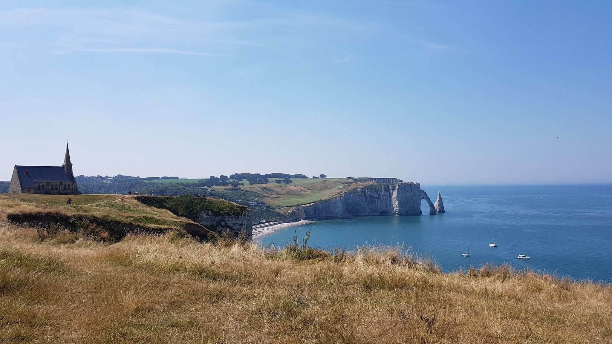
The GR 21 from Le Havre to Le Tréport — Exploring the Normandy coast
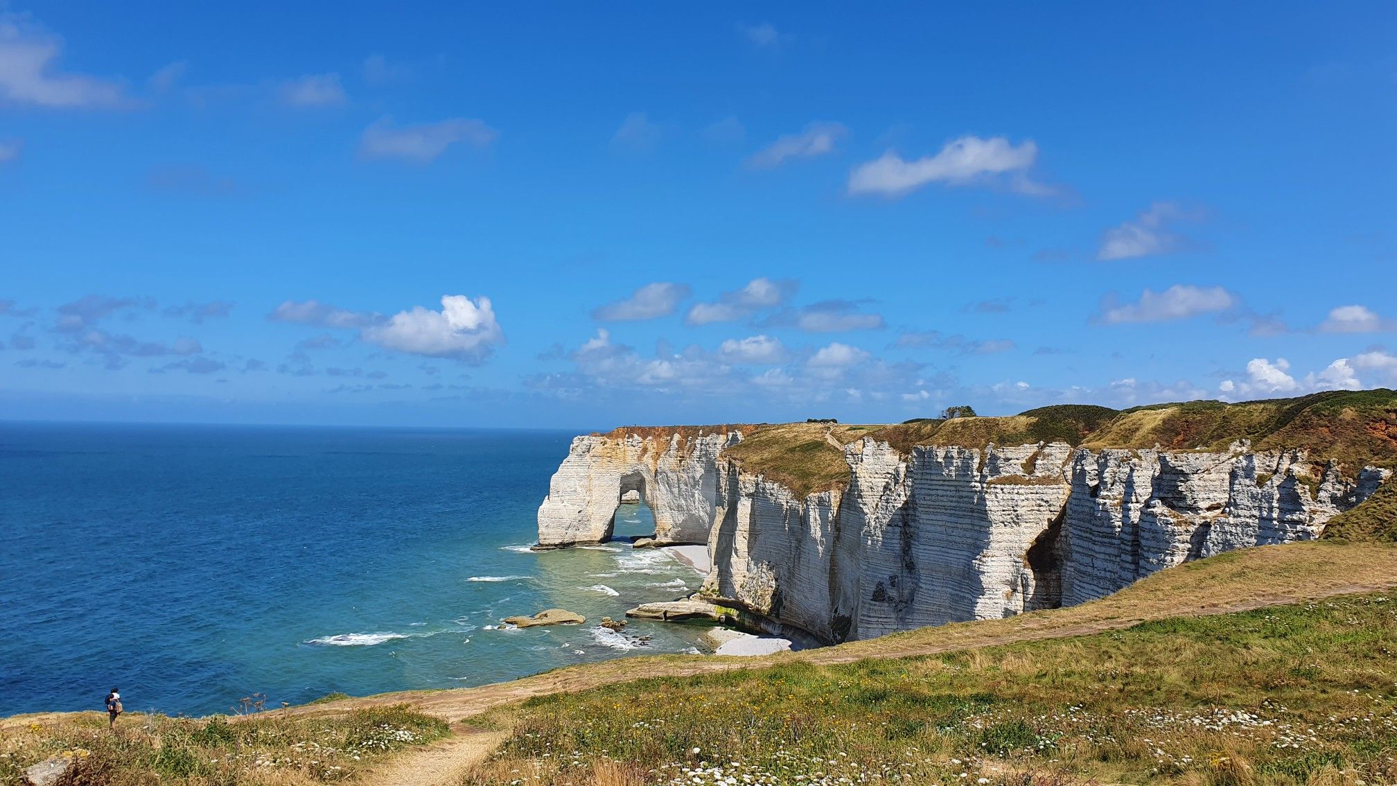
Hike the Sentier des Falaises along Normandy’s coastline – GR 21A
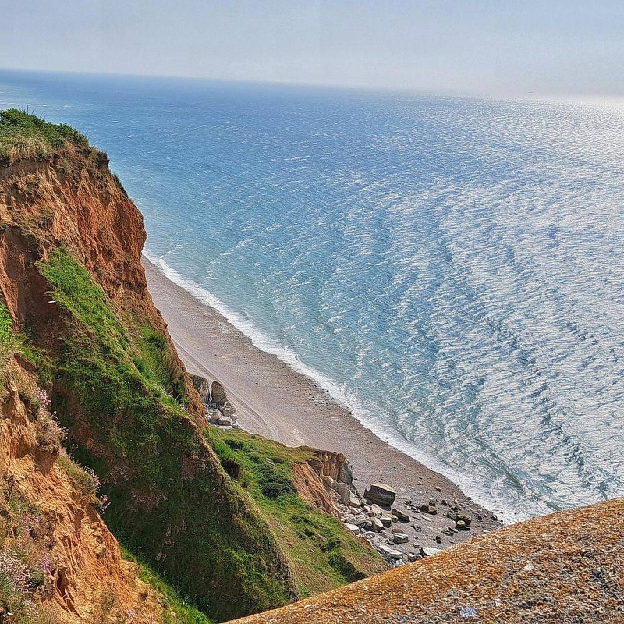
MTB Trails around Gonneville-La-Mallet
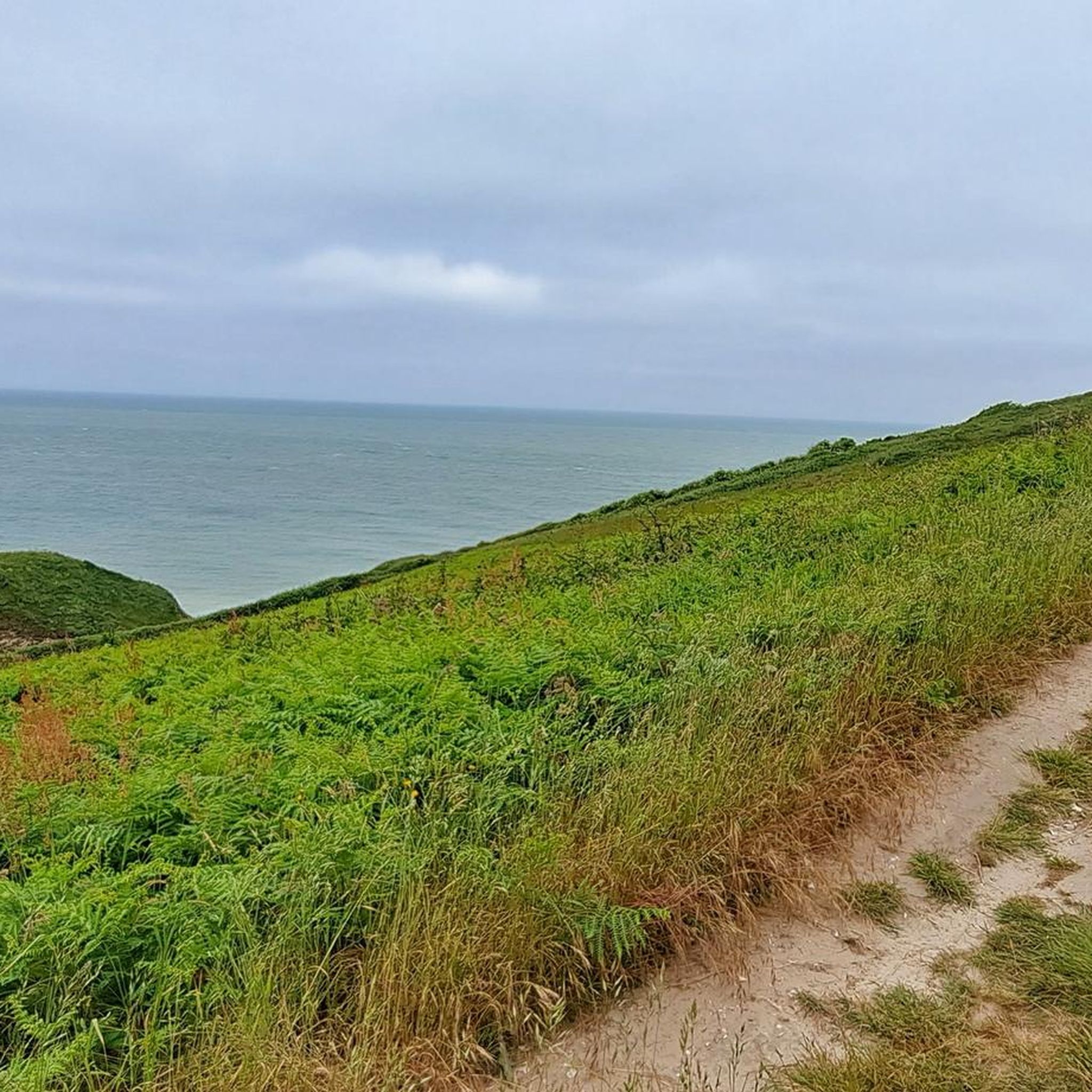
Cycling around Gonneville-La-Mallet
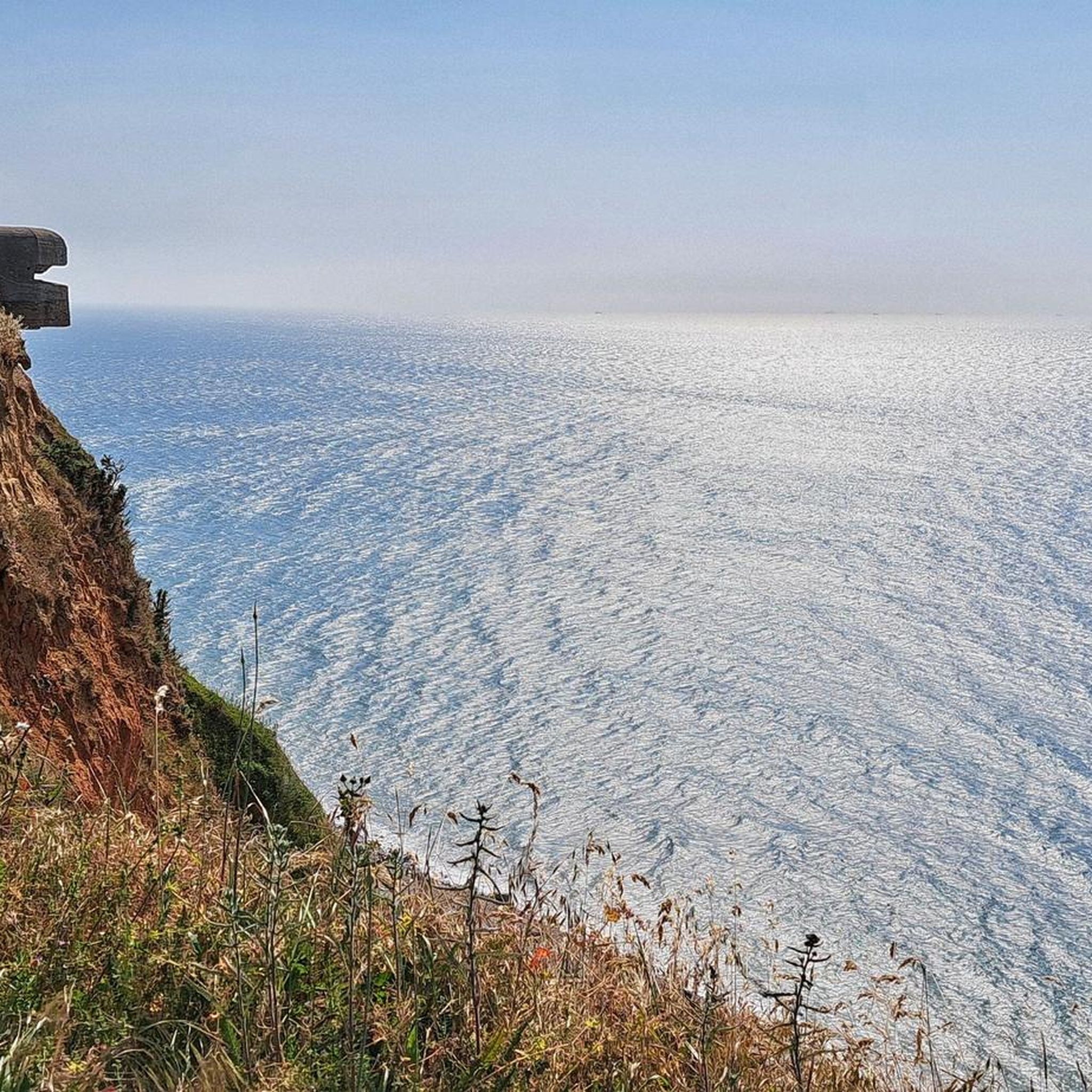
Road Cycling Routes around Gonneville-La-Mallet
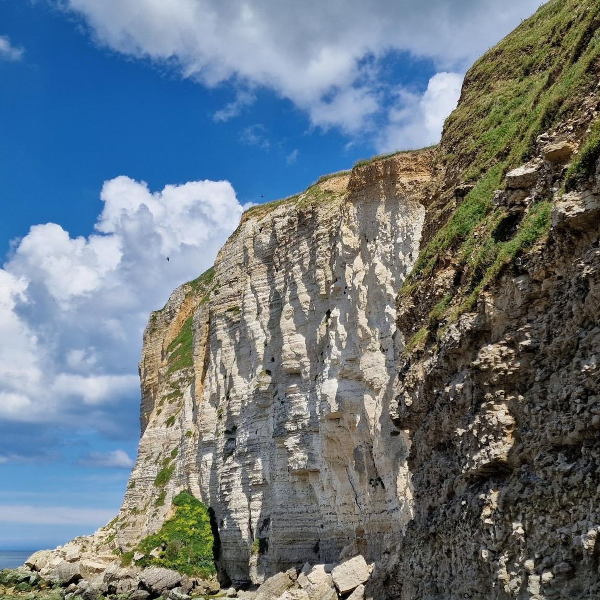
Running Trails around Gonneville-La-Mallet

Gravel biking around Gonneville-La-Mallet

Tips from the Community

Interesting property with a beautiful garden
0
0

And again the many small, beautiful coastal houses
6
0

Now I see salvation, the end of my journey. Seeing Etretat, this beach, and leaving again, it would be too sad.
0
0

You can see them on the main road towards the cliffs
2
0

The town hall of Étretat, located in the center of the picturesque coastal town, impresses with its simple elegance. Surrounded by flowering flower boxes and embedded in the charming architecture of the town, it blends harmoniously into the historic townscape. The light stone facade and the carefully tended flowers create a welcoming atmosphere that underlines the typical charm of Étretat. The typical half-timbered houses of the region are lined up around the town hall, which immediately catch the eye with their elaborately designed wooden structures and colorful facades. Strolling through the alleys, past small shops and cozy cafés, you can feel the special atmosphere of this place. The square in front of the town hall, often lively and full of activity, is the ideal starting point to explore the town and its rich history. Étretat enchants not only with its impressive nature, but also with the attention to detail that is reflected in the buildings. The town hall forms a central point from which you can experience the unique mix of nature, culture and history.
1
0

The town of Étretat is small and doesn't offer any real highlights. However, this old market hall is very beautiful. Étretat lives on through its famous chalk cliffs and its sad World War II past.
6
0

Frequently Asked Questions
How many hiking trails are available around Gonneville-La-Mallet?
There are over 260 hiking routes in the Gonneville-La-Mallet area, catering to various skill levels. This includes more than 110 easy routes, 110 moderate routes, and nearly 40 difficult trails.
Are there easy or family-friendly hiking options in Gonneville-La-Mallet?
Yes, Gonneville-La-Mallet offers numerous easy routes suitable for families. An excellent option is the Château de la Marguerite loop from Saint-Martin-du-Bec, which is 2.2 miles (3.6 km) long and takes about an hour to complete, leading past the historic Château de la Marguerite.
Can I find circular hiking routes in the Gonneville-La-Mallet area?
Many of the trails around Gonneville-La-Mallet are circular, offering convenient starting and ending points. For example, the popular Gonneville-la-Mallet – Bois de Beaurepaire Trail loop from Gonneville-la-Mallet is a moderate 7.1-mile (11.5 km) circular route through woodlands.
Are there hiking trails around 10km in length near Gonneville-La-Mallet?
Yes, you can find several trails around 10km. The Hiking loop from Turretot is a moderate 7.6 km (4.7 miles) route that takes about 2 hours to complete, offering a good option for a hike of this length.
What are the conditions like on the coastal paths near Gonneville-La-Mallet?
The coastal paths in the region, such as those leading towards Étretat, are known for their stunning views but can be challenging due to elevation changes and exposure to weather. Trails like the A photo highlight – Cliffs of Étretat loop from Beaurepaire offer expansive views of the iconic cliffs but are considered difficult due to their length and terrain.
Are dogs allowed on the hiking trails in Gonneville-La-Mallet?
Generally, dogs are welcome on most hiking trails in the Gonneville-La-Mallet area, provided they are kept on a leash. It's always advisable to check local signage for any specific restrictions, especially in nature reserves or protected areas.
What can I see along the hiking trails around Gonneville-La-Mallet?
Hikers can discover a variety of natural and historical sights. Many trails offer views of the Normandy coastline and lead through dense woodlands. Notable attractions include the iconic Cliffs of Étretat, the impressive Porte d'Aval Arch, and the scenic Pointe de la Courtine Viewpoint.
What do other hikers enjoy the most about hiking in Gonneville-La-Mallet?
The area is highly rated by the komoot community, with an average score of 4.5 stars from over 3600 reviews. Reviewers often praise the diverse landscape, which includes coastal paths, dense woodlands, and rolling hills, as well as the well-maintained trails and stunning viewpoints.
Is there public transport access to hiking trailheads in Gonneville-La-Mallet?
While Gonneville-La-Mallet is a rural area, some local bus services connect to nearby towns. However, for direct access to many trailheads, especially those outside the main village, a car is often the most convenient option. It's recommended to check local bus schedules for specific routes.
Where can I find parking for hiking trails in Gonneville-La-Mallet?
Parking is generally available in or near the villages where many trails begin, such as Gonneville-La-Mallet itself or Beaurepaire. For specific trailheads, look for designated parking areas or consult local maps for public parking options. Always park responsibly and respect private property.
What is the best season for hiking in Gonneville-La-Mallet?
The best seasons for hiking in Gonneville-La-Mallet are typically spring (April to June) and autumn (September to October). During these times, the weather is usually mild, and the natural scenery is particularly vibrant, with blooming flowers in spring and colorful foliage in autumn. Summer can also be pleasant, but coastal areas may experience more crowds.
Are there any trails that offer scenic viewpoints?
Absolutely. The region is renowned for its dramatic coastal scenery. Trails leading towards the Étretat cliffs, such as the Panoramic Trail of the Cliffs of Étretat, offer breathtaking views of the iconic arches and the English Channel. The Pointe de la Courtine Viewpoint is another excellent spot for panoramic vistas.
Most popular routes around Gonneville-La-Mallet
Most popular attractions around Gonneville-La-Mallet

Get inspired with the komoot mobile app


Explore more
Browse the best Hikes in other regions.
