The best mountain hikes around Wilgartswiesen
4.9
(14)
68
hikers
10
hikes
Mountaineering around Wilgartswiesen is characterized by its location within the Palatinate Forest, a region dominated by extensive woodlands and deeply incised valleys. The area features prominent bunter sandstone rock formations, which offer both visual interest and opportunities for climbing. These natural features, combined with several historic castle ruins perched on rocky outcrops, define the varied terrain. The municipal area is almost entirely wooded, providing a diverse landscape for outdoor activities.
Best mountaineering routes around Wilgartswiesen
- The most popular mountaineering route…
Last updated: October 18, 2026
5.0
(3)
20
hikers
12.9km
03:53
270m
270m
Moderate mountaineering route. Good fitness required. Mostly accessible paths. Sure-footedness required.
4
hikers
6.49km
02:11
250m
250m
Moderate mountaineering route. Good fitness required. Mostly accessible paths. Sure-footedness required.

5.0
(1)
11
hikers
9.81km
03:27
370m
370m
Moderate mountaineering route. Good fitness required. Mostly accessible paths. Sure-footedness required.
5.0
(3)
6
hikers
7.80km
02:23
210m
210m
Moderate mountaineering route. Good fitness required. Mostly accessible paths. Sure-footedness required.
5.0
(1)
5
hikers
Moderate mountaineering route. Good fitness required. Easily-accessible paths. Suitable for all skill levels.
Get access to more routes and recommendations from other explorers.
Already have an account?
Our route recommendations are based on thousands of hikes, rides, and runs completed by other people on komoot.
Start today with a free account
Your next adventure awaits.
Popular around Wilgartswiesen
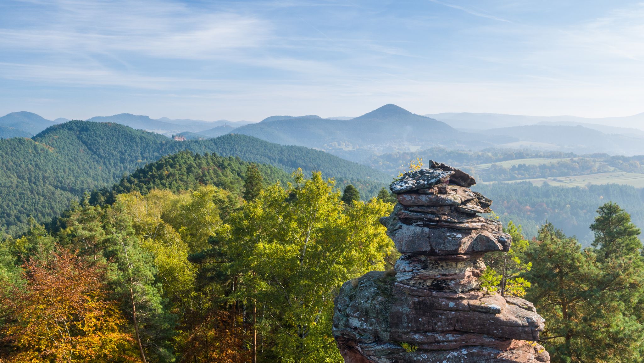
Palatinate hiking menu — day and half day hikes
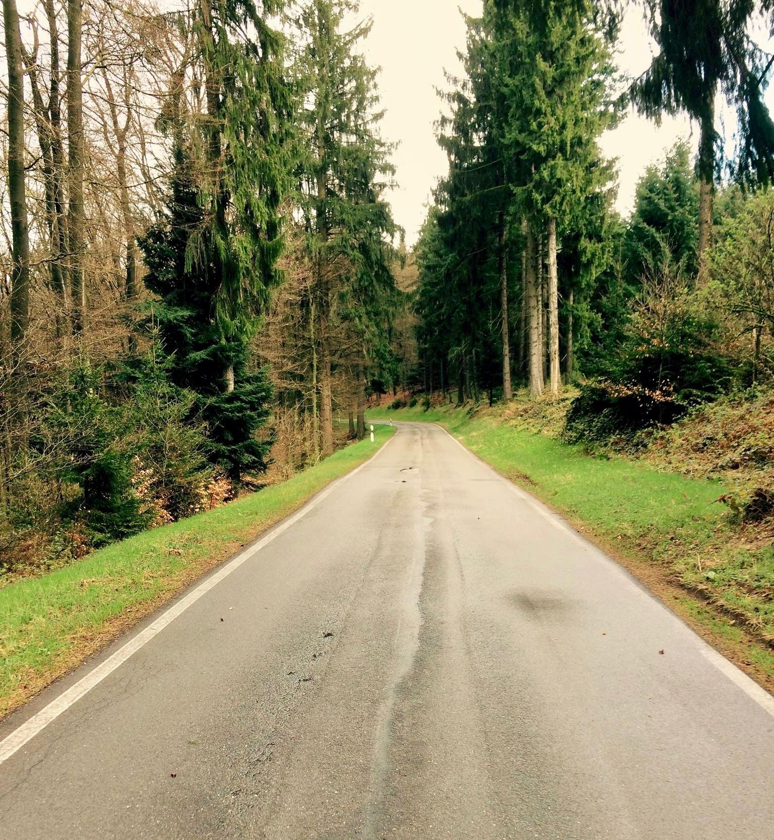
Short & crisp — passes in the Palatinate Forests
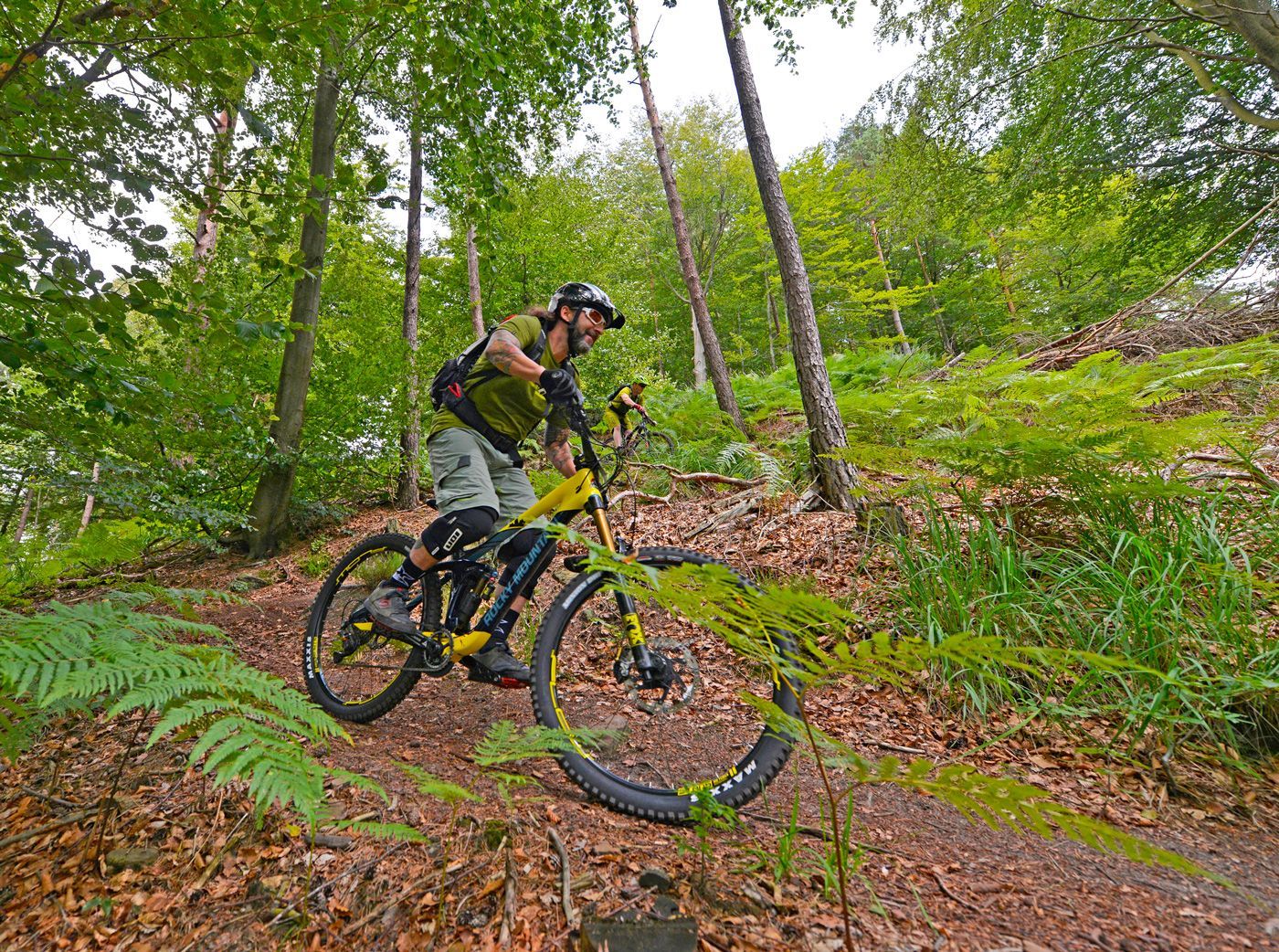
Offizielle Mountainbiketouren im Wasgau
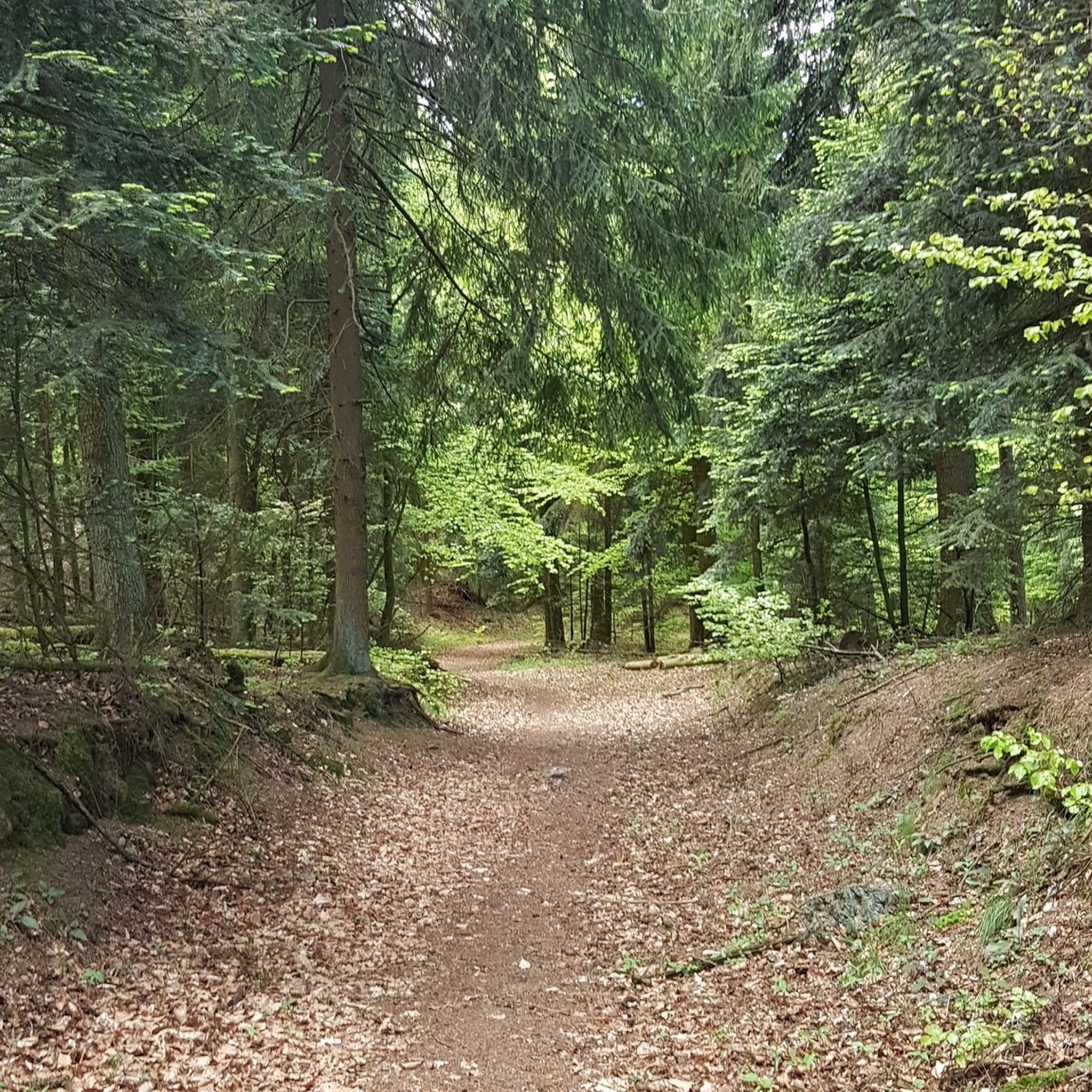
Hiking around Wilgartswiesen
MTB Trails around Wilgartswiesen
Cycling around Wilgartswiesen
Road Cycling Routes around Wilgartswiesen
Running Trails around Wilgartswiesen

Gravel biking around Wilgartswiesen


Tips from the Community

The Dimbacher Buntsandstein Höhenweg is an approximately 9.5 km long premium circular hiking trail in the Pfälzerwald, which leads past the striking Isselmannsteine, among other things.
2
0
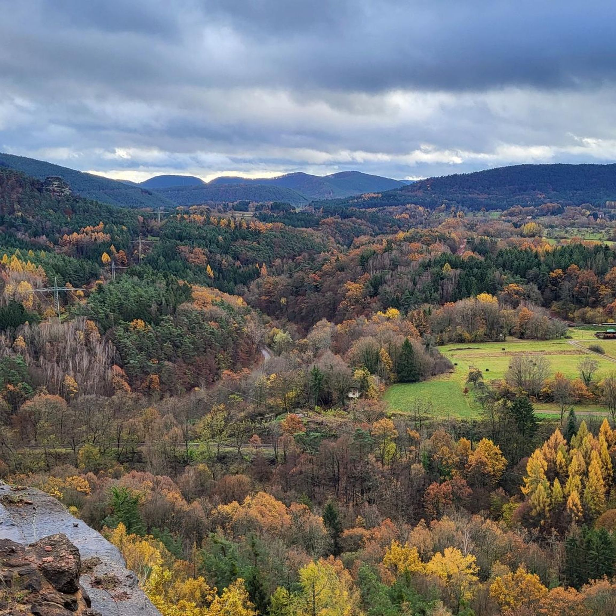
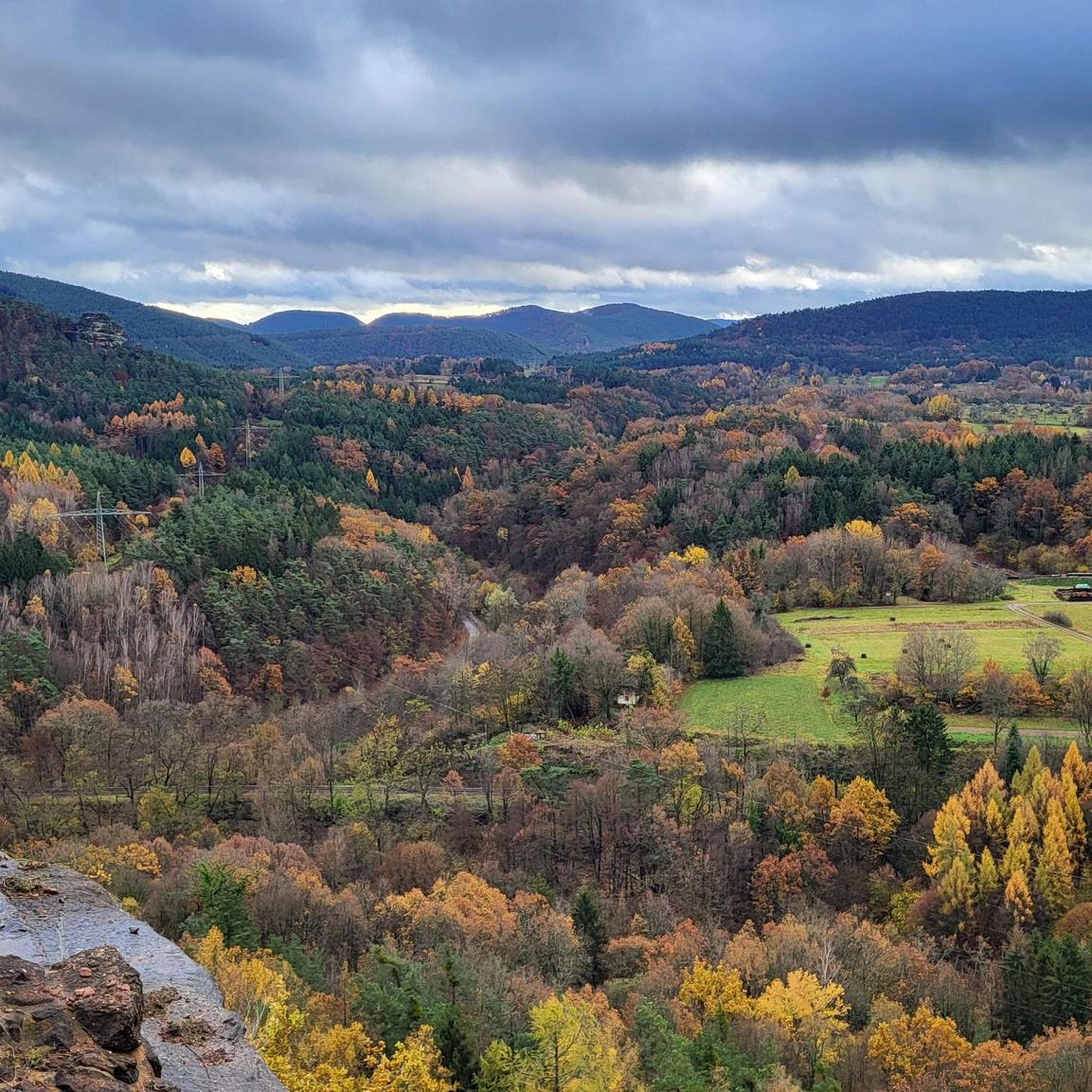
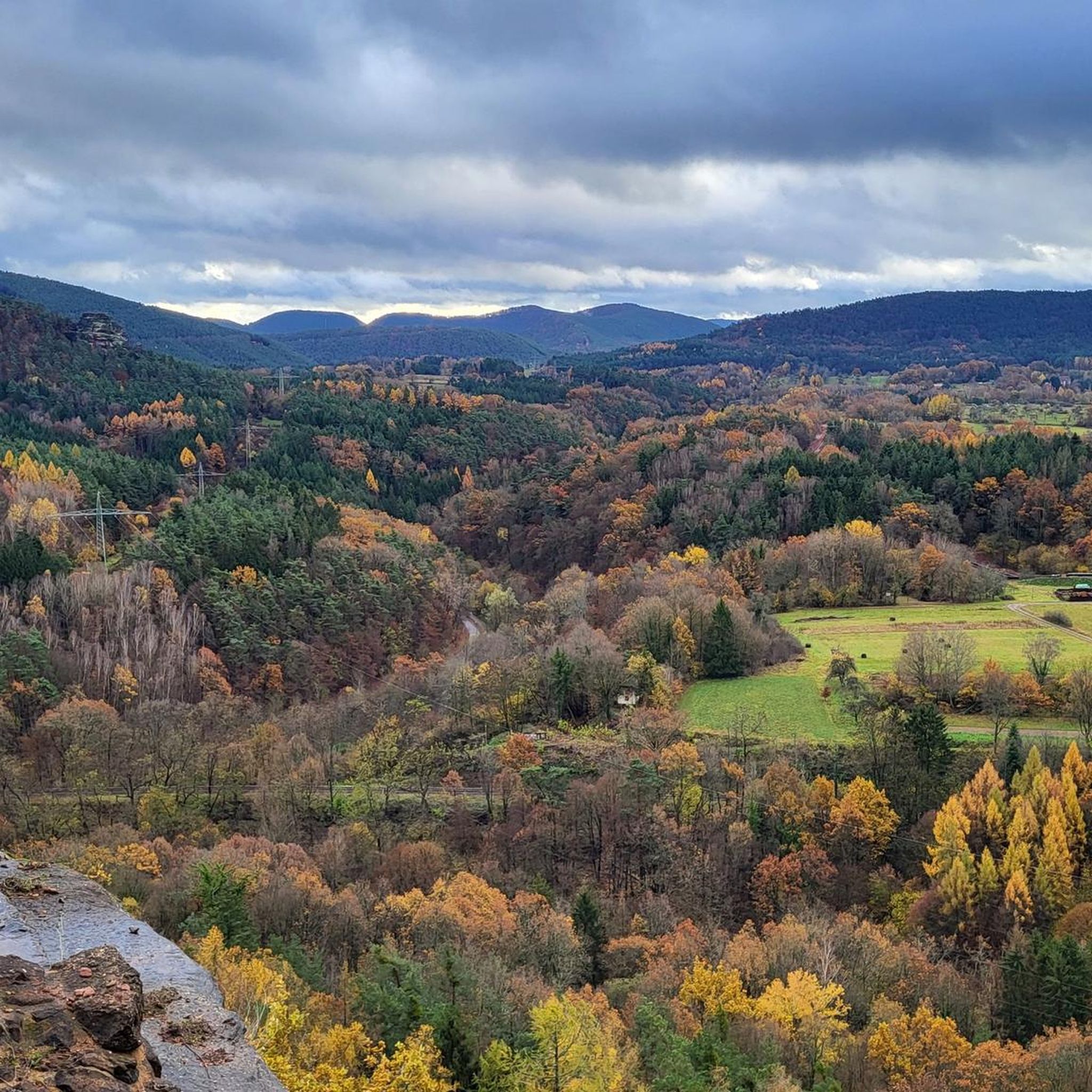
From the summit and rock ledge of the Dimberg (420 m) on the Dimbacher Buntsandstein-Höhenweg, you can enjoy a magnificent, deep view into the valley, onto the village of Dimbach, and to the northeast towards the striking Geiersteine.
3
0

In neat rows on every mountain ridge stand the glowing red sandstone rocks in the Dahn Felsenland. Most can be easily hiked and some even climbed, and are great viewpoints.
3
0
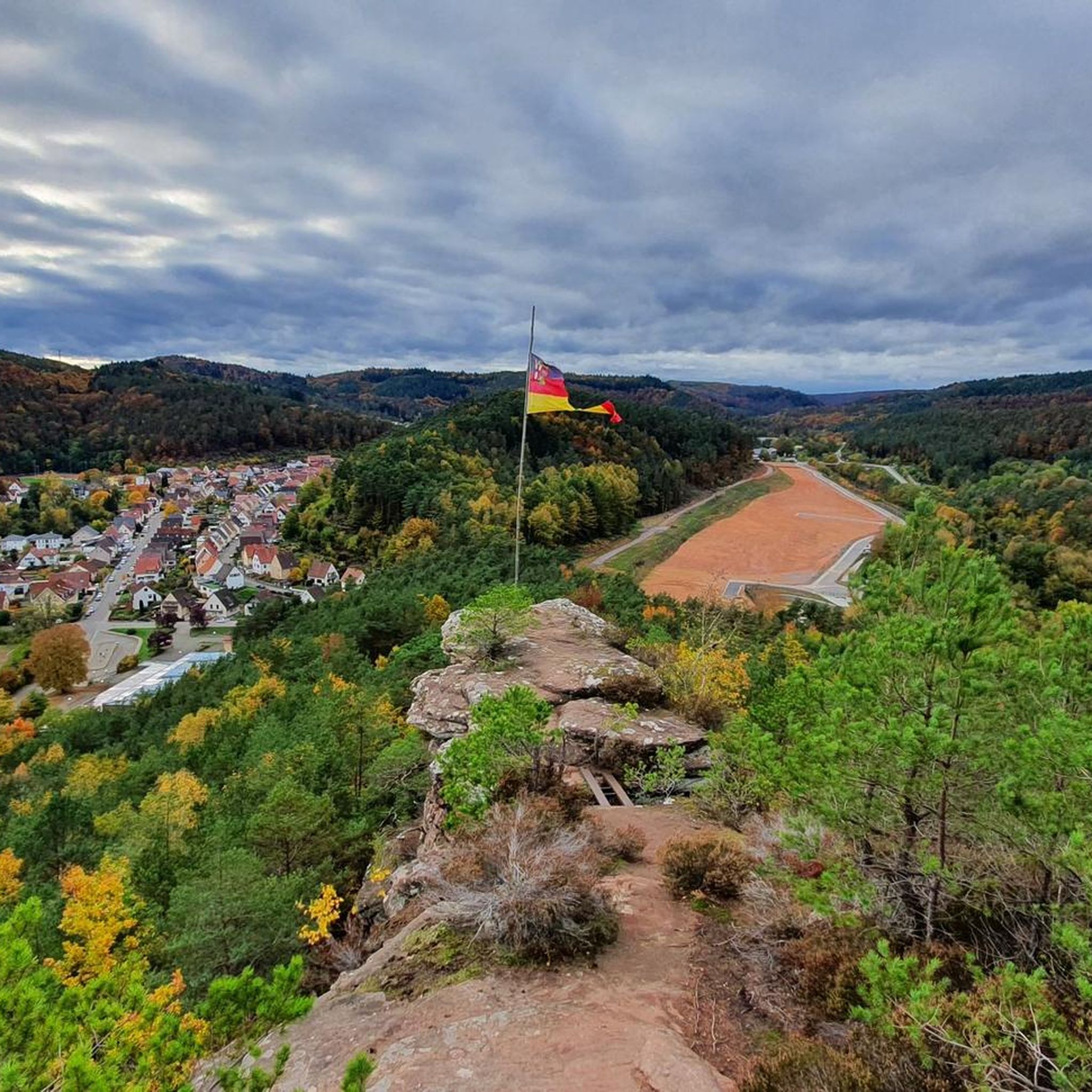
This is the Büttelfels, part of the premium hiking trail Dahner Felsenpfad. The starting point for the great loop is, among other places, at the Sportpark Dahn, a few hundred meters from the Büttelfels.
3
0

The silhouette suggests a monster or a hissing dragon.
0
0


Impressive rock formations can be seen time and again along the circular route through the Dahner Felsenland (Dahn Rock Country).
1
0
Frequently Asked Questions
What kind of terrain can I expect on mountaineering routes around Wilgartswiesen?
Mountaineering around Wilgartswiesen is characterized by its location within the Palatinate Forest, featuring extensive woodlands and deeply incised valleys. You'll encounter prominent bunter sandstone rock formations, which offer both visual interest and opportunities for climbing. The municipal area is almost entirely wooded, providing a diverse landscape with varied elevation changes.
Are there any challenging mountaineering routes in the Wilgartswiesen area?
Yes, while most routes are moderate, there is at least one difficult mountaineering route available around Wilgartswiesen for those seeking a greater challenge. The network offers options for various ability levels, from moderate to difficult.
What are some notable natural features or viewpoints I can discover on these routes?
The region is rich in natural beauty and viewpoints. You can explore impressive bunter sandstone rock formations like those found on the Hoher Kopf Rock Formation – Dimbach Oak Spot loop from Dimbach. For expansive views, consider visiting the Orensfels Viewpoint or the Rehberg Tower. The Rötzen Cliffs also offer striking scenery.
Are there any circular mountaineering routes available?
Yes, many of the mountaineering routes around Wilgartswiesen are designed as loops. For example, you can enjoy the View of Dahn – Elwetritsche Rock loop from Dahn, which explores distinctive rock formations, or the Am Horn Rock Formation – Keeshäwel Rock Formation loop from Dimbach, leading through notable bunter sandstone formations.
What do other mountaineers say about the routes in Wilgartswiesen?
The mountaineering routes in Wilgartswiesen are highly rated by the komoot community, with an average score of 4.9 stars from over 13 reviews. Mountaineers often praise the diverse terrain, the striking bunter sandstone rock formations, and the well-maintained paths through the dense Palatinate Forest.
Can I find any historical sites or castles along the mountaineering trails?
Absolutely. The region is home to several historic castles and ruins, often perched on rocky outcrops. You can visit the impressive Trifels Castle, or explore the ruins of Falkenburg, which offers magnificent views over Wilgartswiesen. These sites add a historical dimension to your outdoor adventure.
Are there any specific routes that feature unique rock formations?
Yes, the bunter sandstone rock formations are a defining characteristic of the region. The Wachtfelsen Viewpoint – Lochfelsen loop from Dahn Süd offers a chance to see unique rock features. Another excellent option is the Rock arch on the Felsenwald Premium Trail – Schiller Wall loop from Waldhaus Starkenbrunnen, which includes a natural rock arch.
How long do mountaineering routes typically take in Wilgartswiesen?
The duration of mountaineering routes varies depending on their length and difficulty. For instance, the View of Dahn – Elwetritsche Rock loop from Dahn, which is 12.9 km, typically takes around 3 hours and 53 minutes. Shorter routes, like the 6.5 km Hoher Kopf Rock Formation – Dimbach Oak Spot loop from Dimbach, can be completed in less time.
Are there any huts or places to rest along the trails?
Yes, you can find huts that offer a place to rest or grab refreshments. The Dahner PWV hut "Im Schneiderfeld" and the Landau hut at the Zimmerbrunnen (PWV) are examples of such facilities located near some of the mountaineering routes.
What is the best time of year for mountaineering in Wilgartswiesen?
Wilgartswiesen, being almost entirely wooded and part of the Palatinate Forest, offers beautiful scenery throughout the year. Spring and autumn provide pleasant temperatures and vibrant colors, while summer is ideal for longer days. Even winter can be appealing for a different kind of experience, though conditions might require more preparation.
What kind of wildlife might I encounter while mountaineering in the Palatinate Forest?
As Wilgartswiesen is situated within the extensive Palatinate Forest, you're likely to encounter typical forest wildlife. This can include various bird species, deer, wild boar, and smaller mammals. Maintaining a respectful distance and observing quietly will enhance your chances of a sighting.
Most popular routes around Wilgartswiesen
Most popular attractions around Wilgartswiesen

Get inspired with the komoot mobile app


Explore more
Browse the best Mountain Hikes & Routes in other regions.
