The best gravel rides around Wilgartswiesen
4.6
(134)
754
riders
83
rides
Gravel biking around Wilgartswiesen features a landscape characterized by dense woodlands, rolling hills, and notable rock formations. The region offers varied terrain suitable for gravel cyclists, including both challenging climbs and scenic paths. Elevation gains are significant on many routes, providing a robust experience for riders. The area's natural features contribute to a diverse gravel biking environment.
Best gravel bike trails around Wilgartswiesen
- The most popular gravel bike trail is S0 Trail Before Ewiges Pfädche – Erfweiler Trail #2 loop…
Last updated: October 19, 2026
4.6
(24)
122
riders
51.1km
03:06
620m
620m
Hard gravel ride. Very good fitness required. Mostly paved surfaces. Suitable for all skill levels.
4.5
(4)
21
riders
Hard gravel ride. Very good fitness required. Mostly paved surfaces. Suitable for all skill levels.

4.5
(4)
23
riders
57.6km
04:25
1,010m
1,010m
Hard gravel ride. Very good fitness required. Mostly paved surfaces. Suitable for all skill levels.
5.0
(2)
23
riders
54.2km
04:02
1,010m
1,010m
Hard gravel ride. Very good fitness required. Mostly paved surfaces. Suitable for all skill levels.
4.7
(3)
17
riders
Moderate gravel ride. Good fitness required. Mostly paved surfaces. Suitable for all skill levels.
Get access to more routes and recommendations from other explorers.
Already have an account?
Our route recommendations are based on thousands of hikes, rides, and runs completed by other people on komoot.
Start today with a free account
Your next adventure awaits.
Popular around Wilgartswiesen
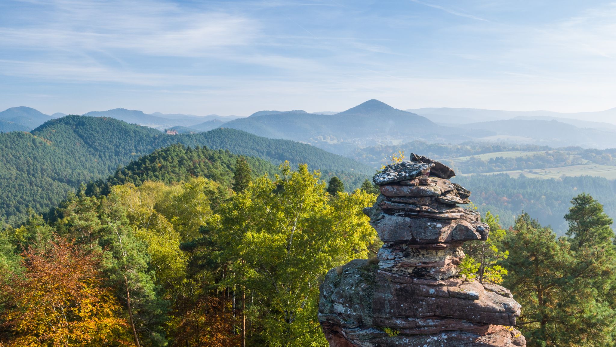
Palatinate hiking menu — day and half day hikes
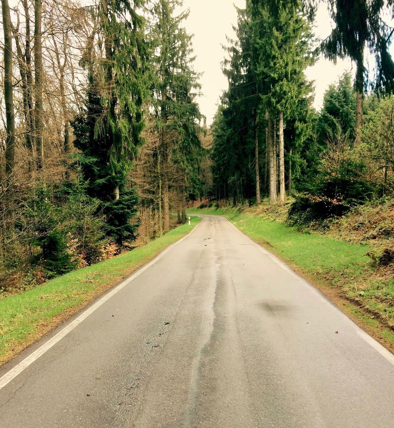
Short & crisp — passes in the Palatinate Forests
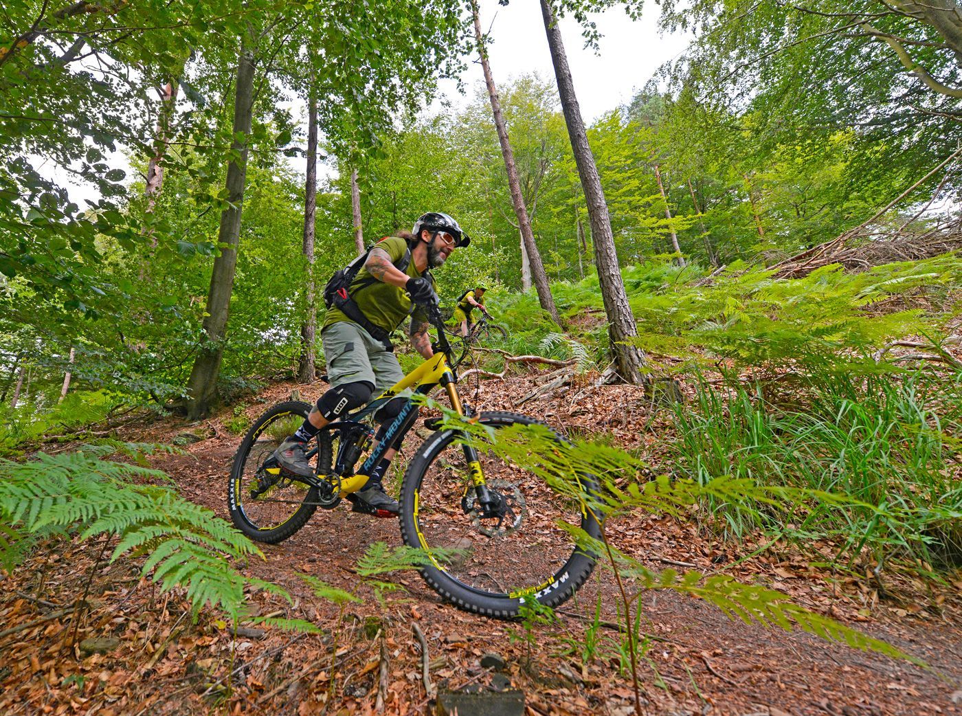
Offizielle Mountainbiketouren im Wasgau
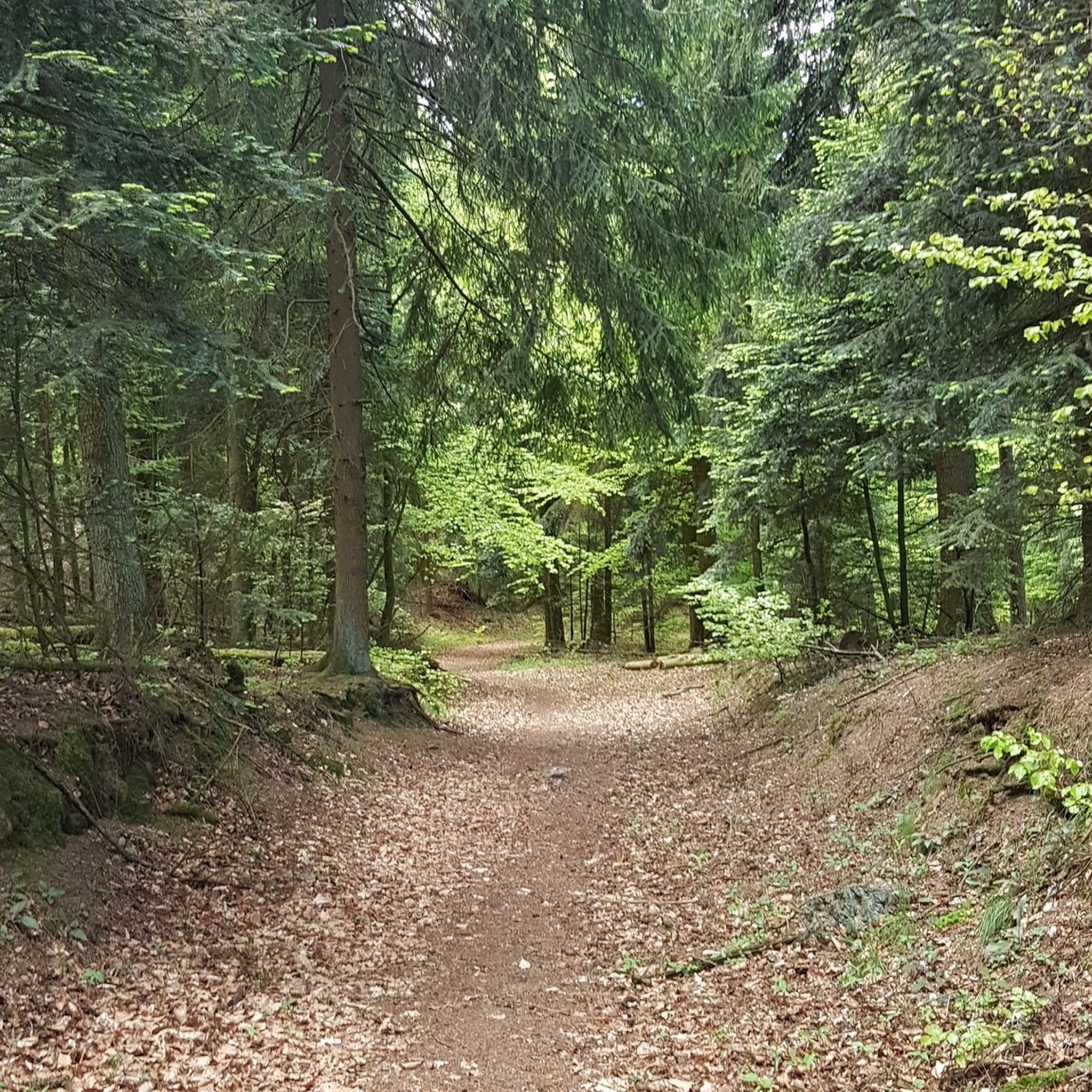
Hiking around Wilgartswiesen
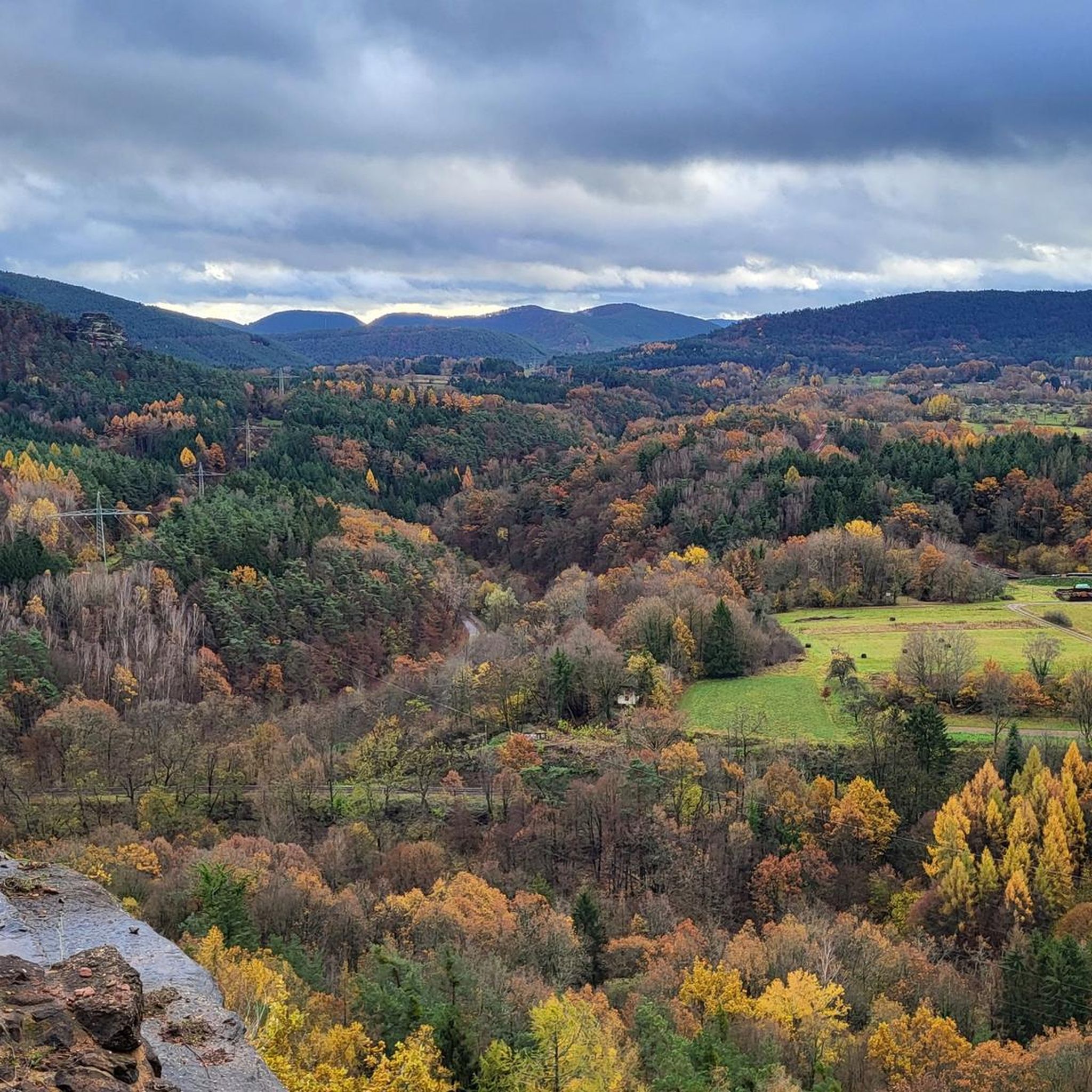
MTB Trails around Wilgartswiesen
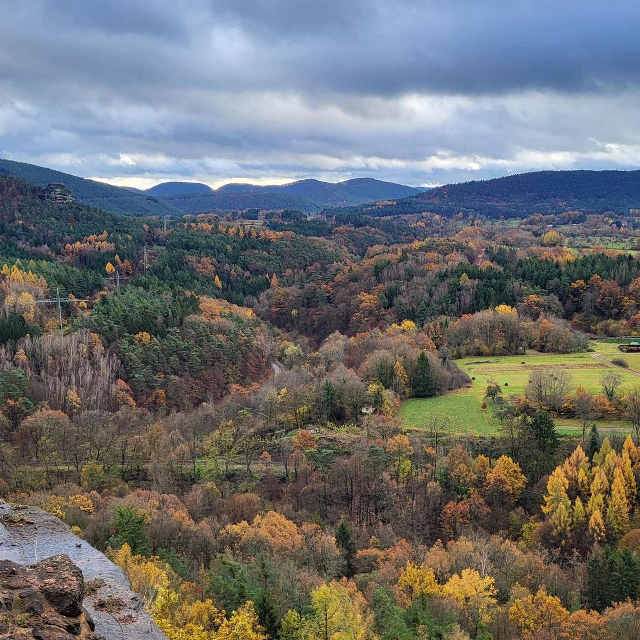
Cycling around Wilgartswiesen
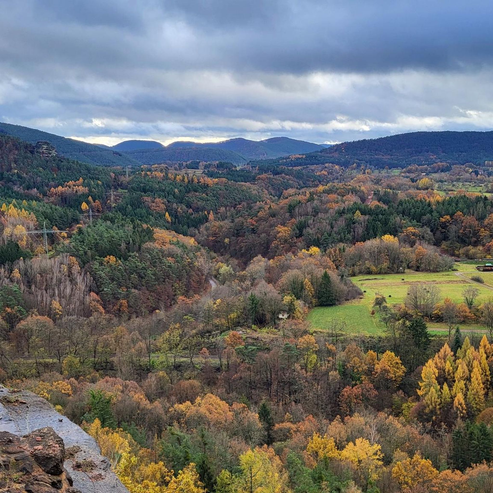
Road Cycling Routes around Wilgartswiesen
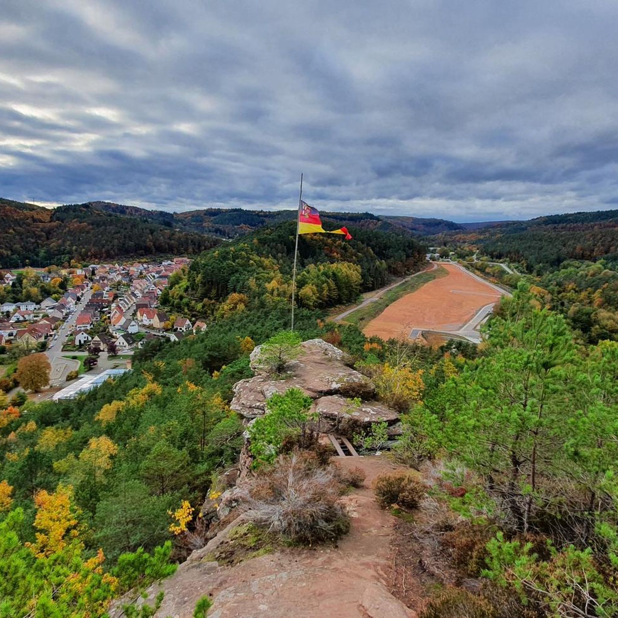
Running Trails around Wilgartswiesen
Mountain Hikes around Wilgartswiesen


Tips from the Community

Easy-to-ride trail that is not a challenge even on a gravel bike and offers a welcome change from the forest highways.
0
0

The well-attended Paddelweiher hut has a great beer garden with a lake view. The prices are reasonable. The coffee was good and the plum cake was also impressive and tasty. Attention ⚠️ No card payment possible. The saying still holds true here: Cash is king!
7
0

Interesting hut for resting
0
0

https://paddelweiher.de/Speisen-Getraenke/ A good opportunity to take a break.
0
0

A beautiful excursion spot for the whole family. Pedal boat and refreshment stop.
2
0

The Jungfernsprung. An imposing viewing rock and visible from afar.
3
0

Cool rock formation in the Dahner Felsenland.
1
0

The view of the Trifels is omnipresent in Annweiler.
0
0
Frequently Asked Questions
How many gravel bike trails are available around Wilgartswiesen?
There are over 125 gravel bike trails around Wilgartswiesen, offering a wide range of options for different skill levels and preferences.
What are the typical lengths and difficulties of gravel bike trails in Wilgartswiesen?
The trails vary significantly in length and difficulty. Many routes are quite long, often exceeding 30 miles (50 km), and feature significant elevation gains, making them challenging. For example, the S0 Trail Before Ewiges Pfädche – Erfweiler Trail #2 loop from Hofstätten is 36.1 miles (58.1 km) with over 1000 meters of climbing, rated as difficult. However, there are also moderate options like the Forsthaus Schwarzer Fuchs – Kirschfelsen Viewpoint loop from Forsthaus Annweiler, which is 10.6 miles (17.1 km).
Are there any easy or beginner-friendly gravel bike routes in Wilgartswiesen?
While many trails are rated difficult, there are a few easier options. The region has 3 trails specifically categorized as easy, and 33 as moderate. For a less strenuous ride, consider routes with lower elevation gain, though specific beginner-only routes are less common due to the region's hilly terrain.
What kind of terrain can I expect on gravel bike trails in Wilgartswiesen?
You can expect a diverse landscape characterized by dense woodlands, rolling hills, and unique rock formations. The trails often combine established forest paths with more technical sections, offering a robust experience with significant elevation changes.
Are there any scenic viewpoints or landmarks along the gravel routes?
Yes, many routes offer stunning views and pass by notable landmarks. For instance, the View of Trifels Castle – Wood Stop at Zollstock loop from Wilgartswiesen provides views of Trifels Castle. Another route, the Devil's Table rock formation – Erfweiler Trail #2 loop from Hinterweidenthal Ort, takes you past the impressive Devil's Table rock formation. You can also find highlights like the Kellerfels Rock Arch in the area.
When is the best time of year to go gravel biking in Wilgartswiesen?
The region's dense woodlands and varied terrain are enjoyable throughout much of the year. Spring and autumn offer pleasant temperatures and beautiful foliage. Summer can be warm but the forest trails provide shade. Winter riding is possible, but be prepared for potentially wet or icy conditions, especially on higher elevations or shaded paths.
Are there places to eat or drink along the gravel bike trails?
Yes, the area around Wilgartswiesen features several huts and cabins that can serve as refreshment stops. You might find places like the Landau hut at the Zimmerbrunnen (PWV) or the Hiking home "Dicke Eiche" (PWV Hauenstein). These often offer food and drinks, perfect for a break during your ride.
What do other gravel bikers enjoy most about gravel biking in Wilgartswiesen?
The area is highly rated by the komoot community, with an average score of 4.8 stars from over 100 reviews. Reviewers often praise the diverse terrain, the challenging climbs, and the unique natural features like rock formations and dense forests that make each ride an adventure.
Are the gravel bike trails in Wilgartswiesen typically loop routes?
Yes, many of the gravel bike trails in Wilgartswiesen are designed as loops, allowing you to start and finish at the same point. This is convenient for riders who drive to the starting point. For example, the Moosalbe Cycle Path – Burgalbsprung Spring loop from Johanniskreuz is a popular circular option.
Can I reach the gravel trails by public transport?
While specific public transport connections to every trailhead are not detailed, Wilgartswiesen itself has a train station, making it possible to access the region by public transport. From there, you might need to cycle a short distance to reach the starting points of various trails. It's advisable to check local bus and train schedules for connections to smaller villages near trailheads.
Are there any specific trails recommended for advanced gravel bikers seeking a challenge?
For experienced riders looking for a significant challenge, many of the routes in Wilgartswiesen are rated as difficult, featuring over 1000 meters of elevation gain. The Devil's Table rock formation – Erfweiler Trail #2 loop from Hinterweidenthal Ort, with its 1138 meters of climbing over 38.2 miles (61.6 km), is a prime example of a demanding route that will test your endurance.
Most popular routes around Wilgartswiesen
Most popular attractions around Wilgartswiesen

Get inspired with the komoot mobile app


Explore more
Browse the best Gravel rides in other regions.
