The best road cycling routes around Queyrières
4.3
(67)
1,842
riders
146
rides
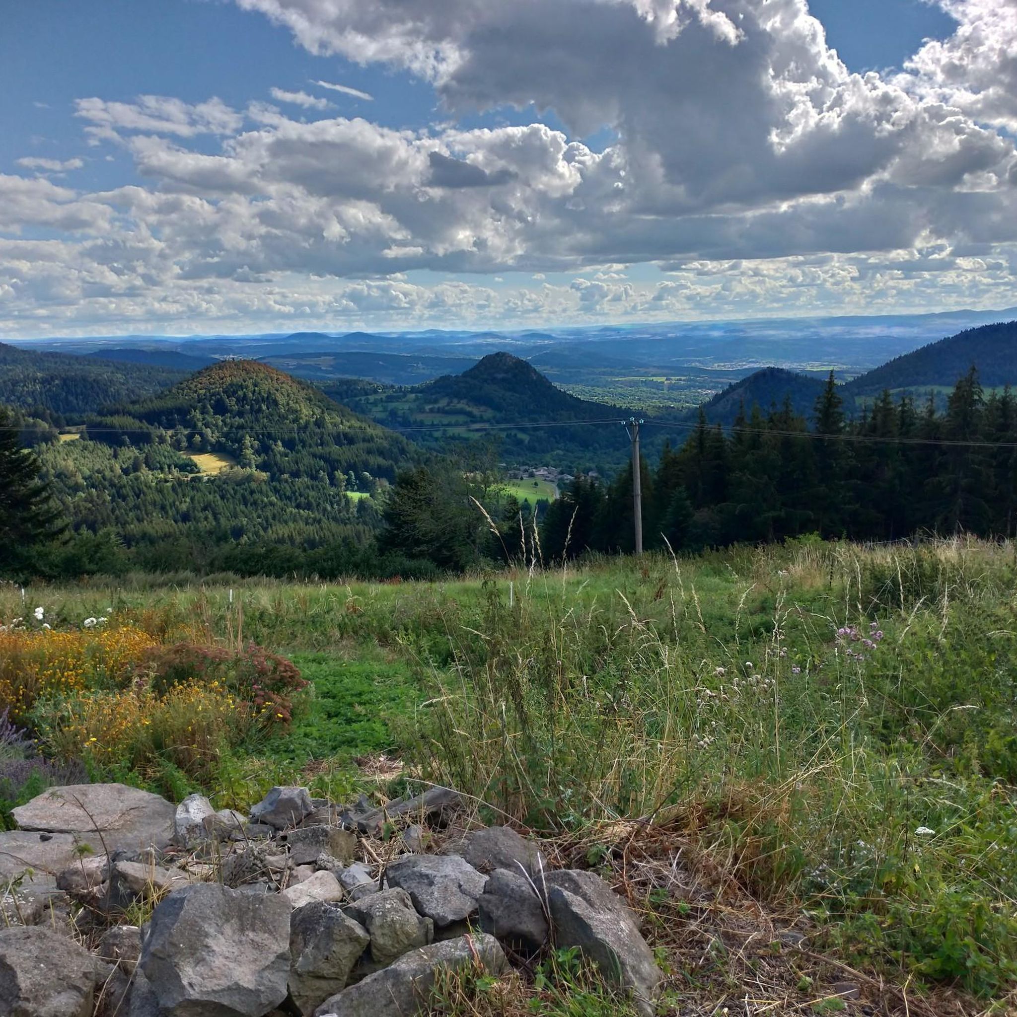
Road cycling routes around Queyrières traverse the unique volcanic landscapes of the "Pays des Sucs" in the Haute-Loire department of France. This middle mountain commune is situated at the foot of the Meygal massif, offering varied terrain for cyclists. The region features basaltic rock formations, ancient volcanic peaks, and a mix of forested areas and expansive meadows. Road cyclists can expect challenging climbs and descents through a preserved natural environment.
Best road cycling routes around Queyrières
- The most popular road…
Last updated: July 1, 2026
5.0
(4)
40
riders
61.9km
03:11
1,050m
1,050m
Hard road ride. Very good fitness required. Mostly well-paved surfaces and easy to ride.
1.0
(1)
24
riders
45.6km
02:26
840m
840m
Moderate road ride. Good fitness required. Mostly well-paved surfaces and easy to ride.

Sign up for free
12
riders
53.0km
02:35
600m
600m
Moderate road ride. Good fitness required. Mostly well-paved surfaces and easy to ride.
4.0
(1)
11
riders
41.8km
02:09
690m
690m
Moderate road ride. Good fitness required. Mostly well-paved surfaces and easy to ride.
12
riders
44.2km
02:22
770m
770m
Moderate road ride. Good fitness required. Mostly well-paved surfaces and easy to ride.
Get access to more routes and recommendations from other explorers.
Sign up for free
Already have an account?
Our route recommendations are based on thousands of hikes, rides, and runs completed by other people on komoot.
Start today with a free account
Your next adventure awaits.
Login or Signup
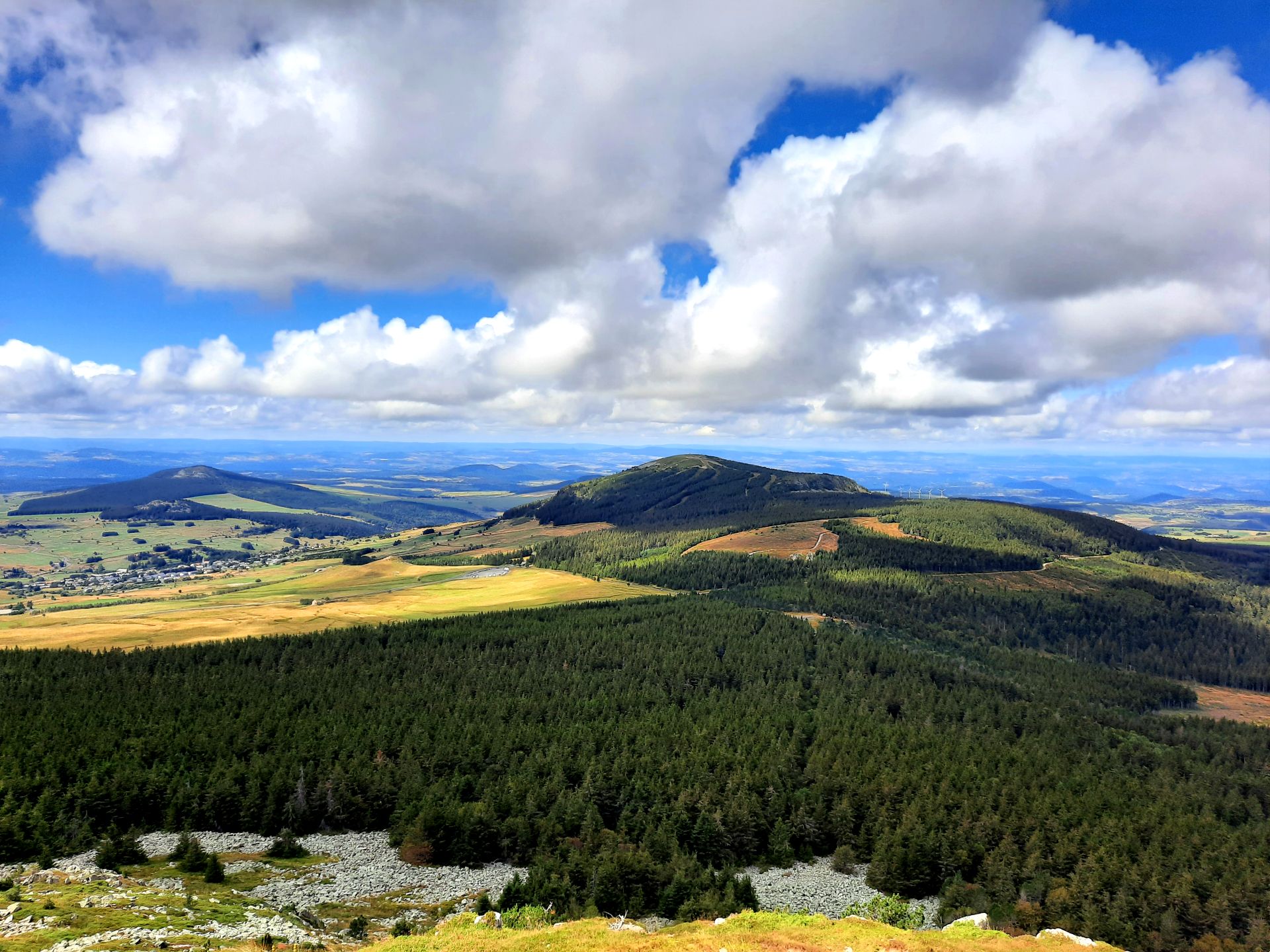
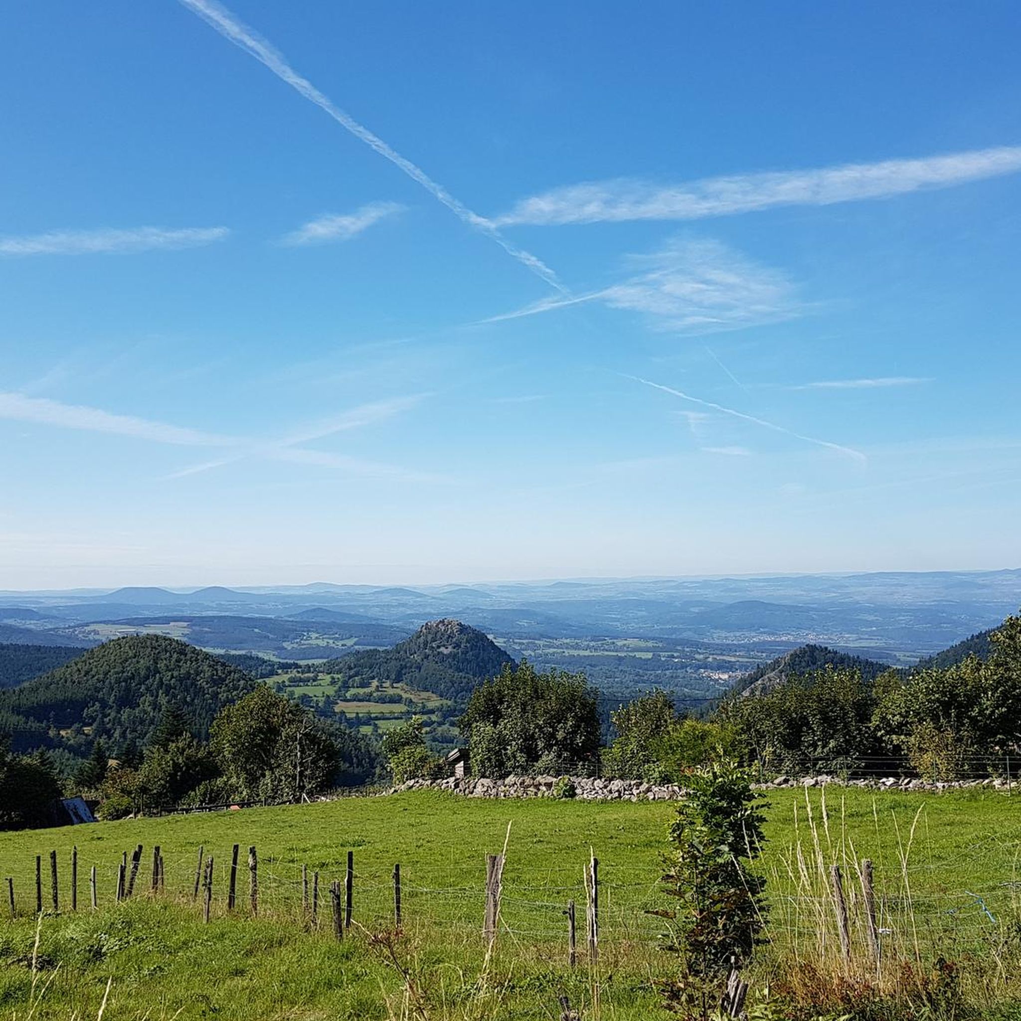

Other adventures around Queyrières

Tips from the Community

Beautiful viewpoint overlooking the village. Be careful on the climb to the cross; the rock is polished, and there's a risk of falling!
0
0

This lake located at an altitude of over 1200 m has magnificent colours
0
0
A pass at an altitude of over 1500 m. It is the highest in Ardèche.
0
0

Culminating at more than 1,250 meters, Lake Saint-Front is the highest lake in Haute-Loire. This natural lake of volcanic origin is seven meters deep and underneath is 47 meters of mud accumulated over geological time.
0
0

The Lavoûte-sur-Loire bridge offers magnificent views of the river and the surrounding green hills. You're driving on a secondary road, so it's not the best place to stop, but you can still enjoy it!
0
0


Always nice to take a look over the Loire
0
0

The Col de la Croix de Boutières from Saint-Martin-de-Valamas is 27.1km long with a total drop of 1024m. The average gradient is 3.5% with maximum gradients of 9%.
1
0
Frequently Asked Questions
How many road cycling routes are available around Queyrières?
There are nearly 150 road cycling routes around Queyrières, offering a wide variety of options for different skill levels and preferences. The region is highly rated by the komoot community, with an average score of 4.5 stars from over 50 reviews.
What kind of terrain can I expect on road cycling routes in Queyrières?
Road cycling routes in Queyrières traverse the unique volcanic landscapes of the "Pays des Sucs" and the Meygal massif. You can expect varied terrain with basaltic rock formations, ancient volcanic peaks, and a mix of forested areas and expansive meadows, providing both challenging climbs and scenic descents.
Are there road cycling routes suitable for beginners or those looking for an easier ride?
Yes, while the region is known for its challenging volcanic terrain, there are a few easier road cycling routes available. Out of nearly 150 routes, 2 are classified as easy, 76 as moderate, and 67 as difficult, ensuring options for various ability levels.
What are some scenic highlights or natural features I can see along the road cycling routes?
The routes offer numerous scenic highlights. You might encounter the impressive Basalt organ of Queyrières, a singular basaltic mound with striking columns. Many routes also pass by Lac de Saint-Front, offering beautiful views, or provide glimpses of volcanic peaks like Suc de Chapteuil and the Queyrières volcano itself.
Are there any circular road cycling routes around Queyrières?
Yes, many of the road cycling routes around Queyrières are designed as loops, allowing you to start and end in the same location. For example, the Lake Saint-Front – Monedeyres loop from Queyrières is a popular moderate 25.5-mile trail through the volcanic region.
What is the best time of year for road cycling in Queyrières?
Given its mountain climate, the best time for road cycling in Queyrières is typically during the warmer months, from late spring through early autumn. This period offers more favorable weather conditions and ensures that higher elevation passes are clear of snow.
Are there challenging climbs for experienced road cyclists in Queyrières?
Absolutely. The region, situated at the foot of the Meygal massif and within the "Pays des Sucs," is characterized by ancient volcanoes, offering significant elevation gains. Routes like the Col de Médille, elevation 1,332 m – Col de la Croix de Boutières loop from Recharinges feature substantial climbs and descents, making them ideal for experienced cyclists seeking a challenge.
Can I find routes that explore the volcanic features of the region?
Yes, the volcanic heritage is a defining characteristic of Queyrières's cycling landscape. Routes such as the Queyrières volcano – Monedeyres loop from Piallevialle specifically highlight the region's volcanic terrain and unique geological formations.
What do other road cyclists say about their experience in Queyrières?
The road cycling routes in Queyrières are highly regarded by the komoot community, with an average score of 4.5 stars from over 50 reviews. Cyclists often praise the magnificent landscapes, the challenging yet rewarding climbs, and the preserved natural environment of the "Pays des Sucs".
Are there any specific routes that offer panoramic views?
Many routes in the region provide breathtaking panoramic views, especially those that ascend the volcanic peaks. The Rocher de Queyrières, right in the village center, offers a 360-degree panoramic view from its summit, and routes passing near Mont Testavoyre (the highest point of the Meygal massif) also provide extensive vistas of the surrounding 'sucs'.
Is there public transport available to Queyrières for cyclists?
While specific public transport options for cyclists directly to Queyrières are not detailed, the region is generally accessible. For detailed information on public transport routes and bike carriage policies, it is advisable to consult local transport authorities or the regional tourist office.
Are there any family-friendly road cycling options in Queyrières?
While many routes feature significant elevation changes, some of the easier or shorter loops might be suitable for families with older children who are comfortable with road cycling. It's recommended to check the difficulty and elevation profiles of individual routes, such as the Queyrières volcano – Basalt organ of Queyrières loop from Queyrières, to determine suitability for your family.
Most popular routes around Queyrières
Most popular attractions around Queyrières

Get inspired with the komoot mobile app


Explore more
Browse the best Road cycling routes in other regions.
