The best traffic-free bike rides around Queyrières
4.3
(67)
1,842
riders
21
rides
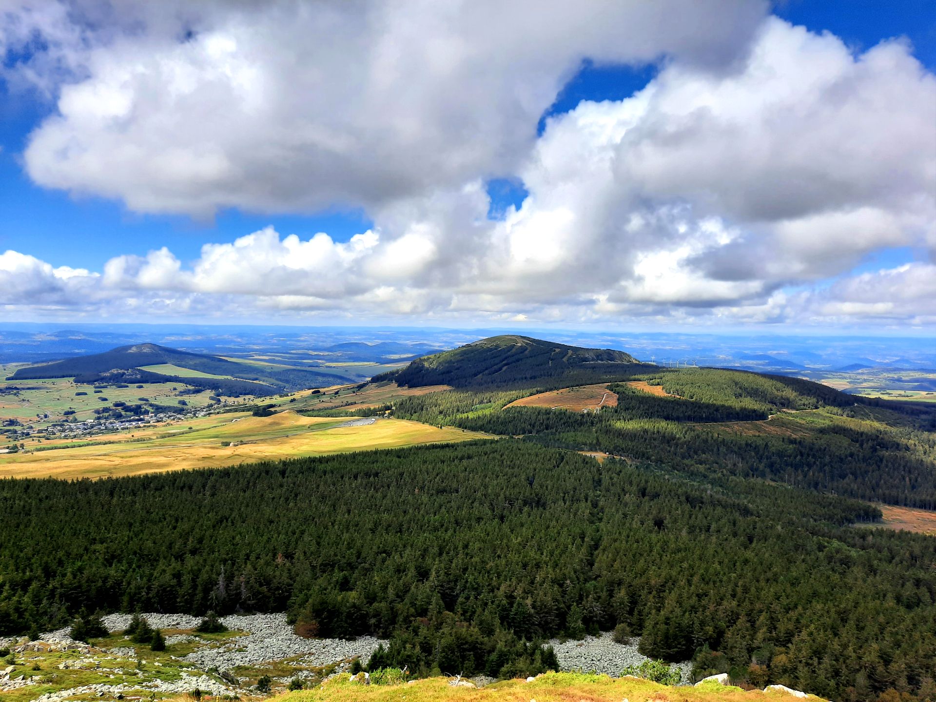
No traffic road cycling routes around Queyrières traverse a landscape shaped by its volcanic origins, characterized by basaltic rock formations and ancient volcanoes. The region, part of the "middle mountains," features altitudes ranging from 949 to 1436 meters, offering varied inclines for cyclists. Extensive forests cover over half of the municipal area, interspersed with meadows, providing a diverse natural environment for cycling. The area is known for its scenic cycle tracks and greenways, ideal for car-free cycling.
Best no traffic…
Last updated: July 6, 2026
5.0
(2)
20
riders
46.1km
02:21
750m
750m
Moderate road ride. Good fitness required. Some segments of this route may be unpaved and difficult to ride.
5.0
(2)
17
riders
54.3km
02:50
970m
970m
Hard road ride. Very good fitness required. Mostly well-paved surfaces and easy to ride.

Sign up for free
12
riders
44.2km
02:22
770m
770m
Moderate road ride. Good fitness required. Mostly well-paved surfaces and easy to ride.
7
riders
35.7km
02:00
730m
730m
Moderate road ride. Good fitness required. Some segments of this route may be unpaved and difficult to ride.
5
riders
38.6km
02:12
720m
720m
Moderate road ride. Good fitness required. Some segments of this route may be unpaved and difficult to ride.
Get access to more routes and recommendations from other explorers.
Sign up for free
Already have an account?
Our route recommendations are based on thousands of hikes, rides, and runs completed by other people on komoot.
Start today with a free account
Your next adventure awaits.
Login or Signup

Other adventures around Queyrières

Tips from the Community


Even and moderately steep, great landscape and hardly any traffic
1
0
Frequently Asked Questions
How many traffic-free road cycling routes are available in Queyrières?
There are over 20 traffic-free road cycling routes around Queyrières, offering a variety of experiences for cyclists. Most of these routes are rated as moderate, with some more challenging options available.
What kind of terrain can I expect on the no-traffic road cycling routes in Queyrières?
The routes in Queyrières are situated in a 'middle mountains' region, characterized by varied inclines and altitudes ranging from 949 to 1436 meters. You'll encounter scenic cycle tracks winding through woods and fields, often utilizing well-maintained greenways. The landscape is defined by its volcanic origins, with basaltic rocks and ancient volcanoes.
Are there any family-friendly or beginner-friendly no-traffic road cycling options in Queyrières?
Yes, the region's 'greenways' and scenic cycle tracks are ideal for a more relaxed and secure cycling experience, making them suitable for families and beginners. These paths offer perfect surfaces away from departmental roads. While most routes are moderate, the focus on traffic-free paths ensures a safer environment for all skill levels.
What natural features or landmarks can I see along the traffic-free cycling routes?
Queyrières offers unique natural attractions. You can explore the impressive Queyrières volcano and the striking Basalt organ of Queyrières, an ancient volcanic chimney. Other highlights include the Montjoie Viewpoint and the View of the Corboeuf Ravine. Many routes also follow the Greenway along the Siaulme river.
What do other cyclists say about the no-traffic road cycling routes in Queyrières?
The komoot community highly rates the cycling experience in Queyrières, with an average score of 4.42 stars. Cyclists often praise the quiet, traffic-free nature of the routes, the stunning volcanic landscapes, and the well-maintained paths that make for an enjoyable ride.
Are there any circular no-traffic road cycling routes available?
Yes, many of the routes are designed as loops, allowing you to start and finish in the same location. For example, consider the Monedeyres – Queyrières volcano loop from Yssingeaux, which covers over 46 km with moderate difficulty, or the Queyrières volcano – Monedeyres loop from Piallevialle for a slightly shorter option.
What is the best time of year for traffic-free road cycling in Queyrières?
The region is best enjoyed from spring through autumn when the weather is mild and the paths are clear. During winter, the area transforms into a Nordic skiing and snowshoeing destination, so road cycling is generally not recommended due to snow and ice.
Are there any longer or more challenging traffic-free road cycling routes for experienced cyclists?
Yes, for those seeking a greater challenge, there are difficult routes available. The Sarcenas Viaduct – Via fluvia in the forest loop from Yssingeaux is a demanding option, stretching over 100 km with significant elevation gain, offering a rewarding experience through varied terrain.
Where can I find parking for these traffic-free cycling routes?
Parking is generally available in the towns and villages where routes typically start, such as Yssingeaux, Piallevialle, or Saint-Étienne-Lardeyrol. Look for designated public parking areas, especially near trailheads or town centers.
Can I bring my dog on these traffic-free road cycling routes?
While the routes are traffic-free, specific regulations regarding dogs can vary. On greenways and shared paths, dogs are generally permitted but should be kept on a leash. Always check local signage for any specific restrictions in natural areas or protected sites.
Are there any cafes or places to stop for refreshments along the routes?
The routes often pass through or near small villages and hamlets where you can find local cafes, bakeries, or small shops to refuel. Planning your route with komoot allows you to see points of interest and potential stops along the way.
What is the typical distance and elevation gain for these traffic-free road cycling routes?
The routes vary significantly. Moderate routes typically range from 35 km to 50 km with elevation gains between 700m and 800m, such as the Thirteen Crosses of Rosières loop from Saint-Étienne-Lardeyrol. More difficult routes can exceed 100 km with over 1300m of climbing.
Most popular attractions around Queyrières

Get inspired with the komoot mobile app


Explore more
Browse the best Road cycling routes in other regions.
