The best walks and hikes around Landkreis Kaiserslautern
4.6
(16608)
64,164
hikers
3,130
hikes
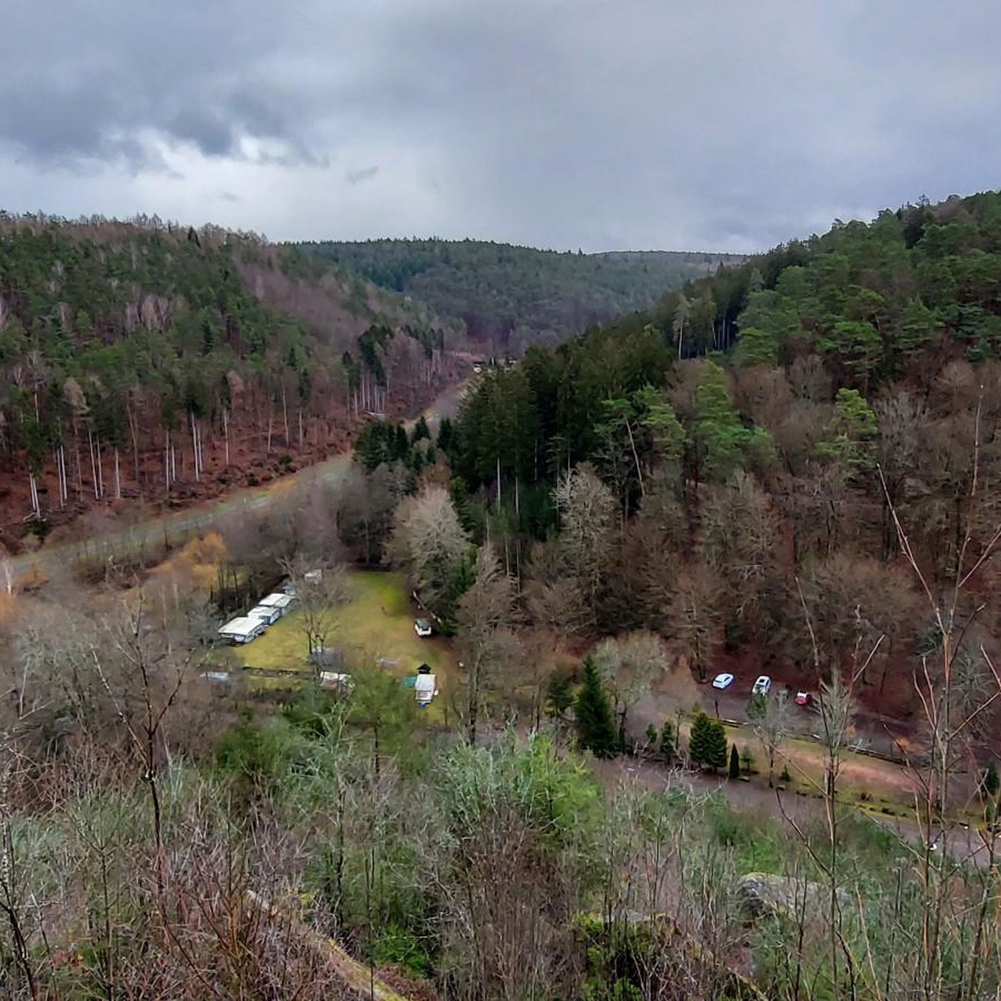
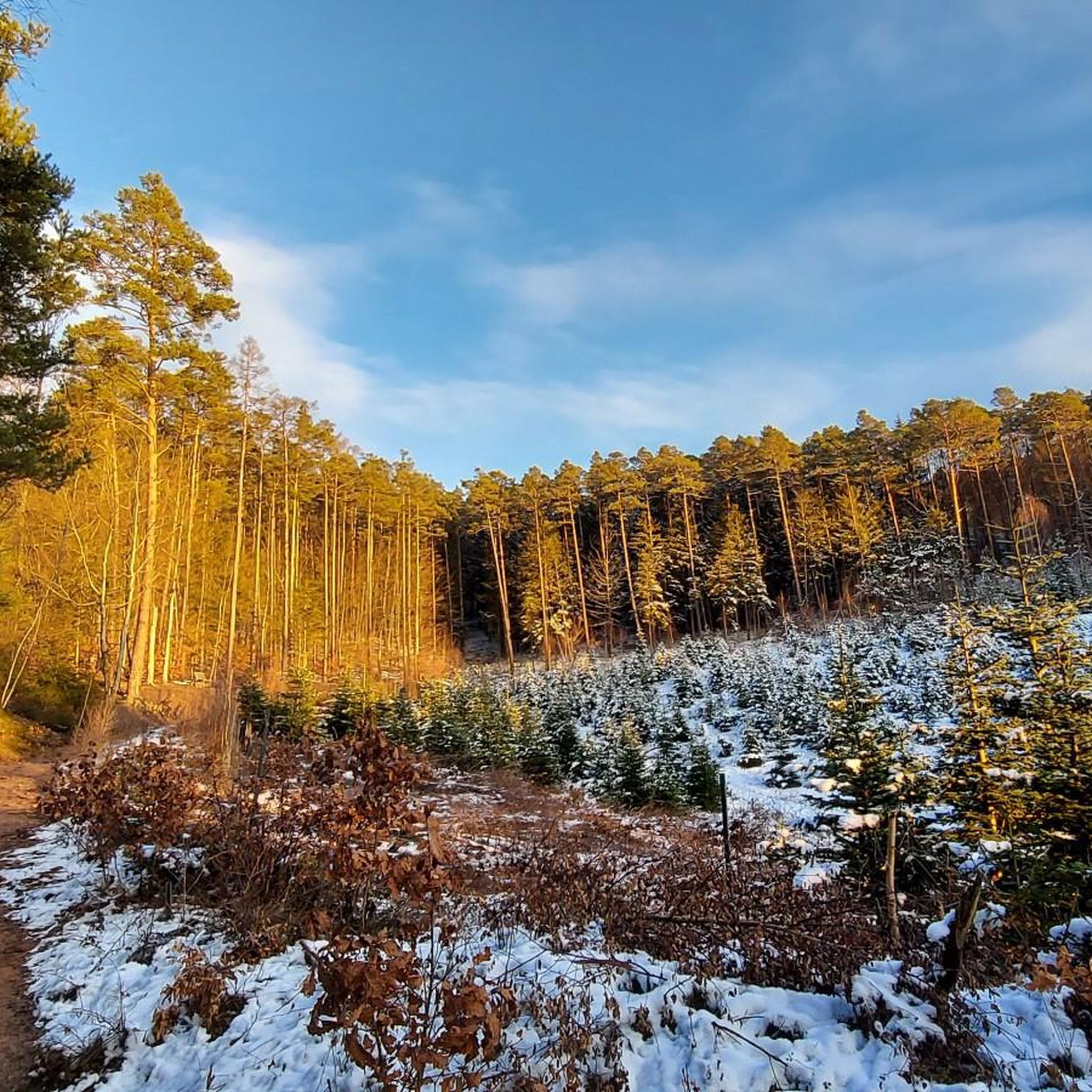
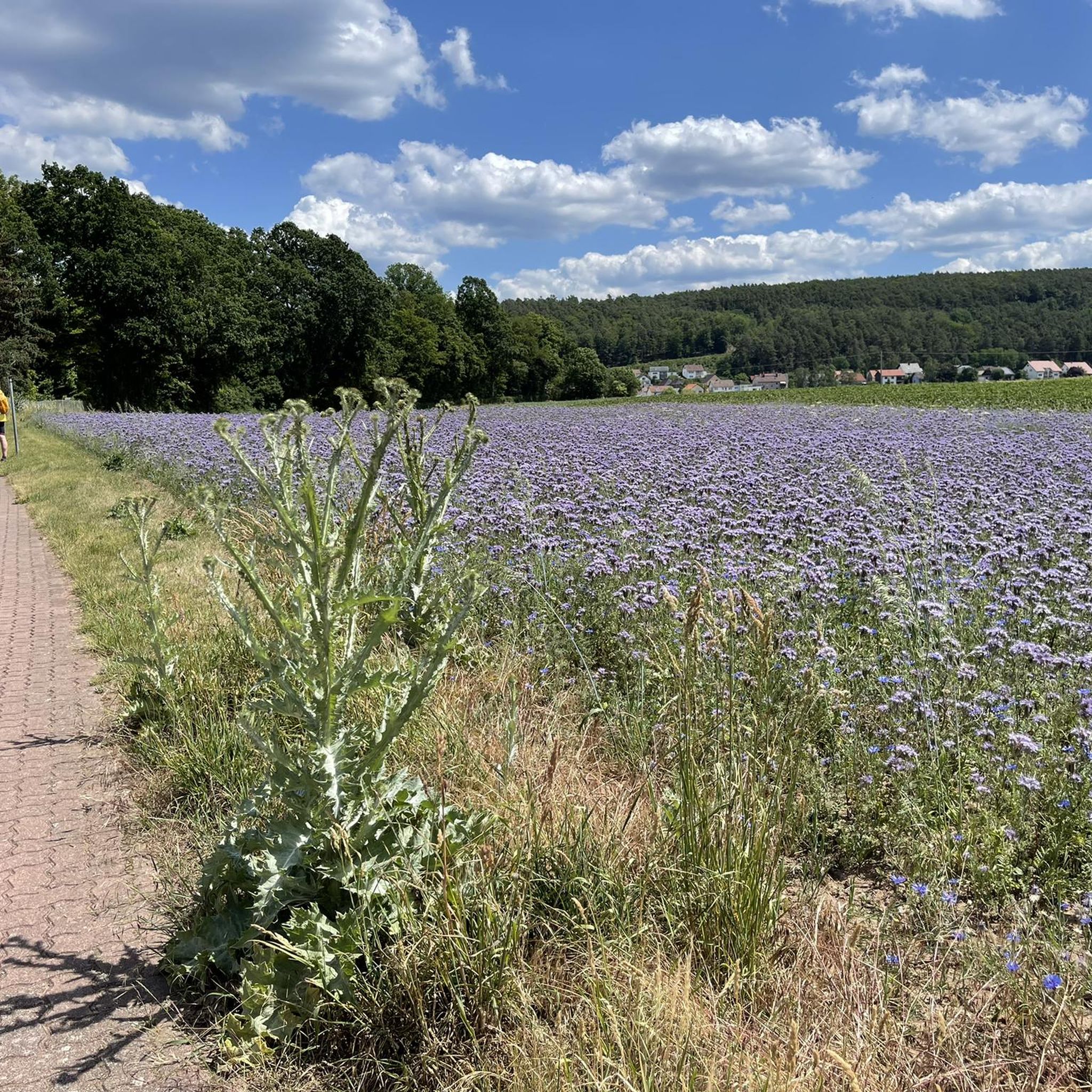
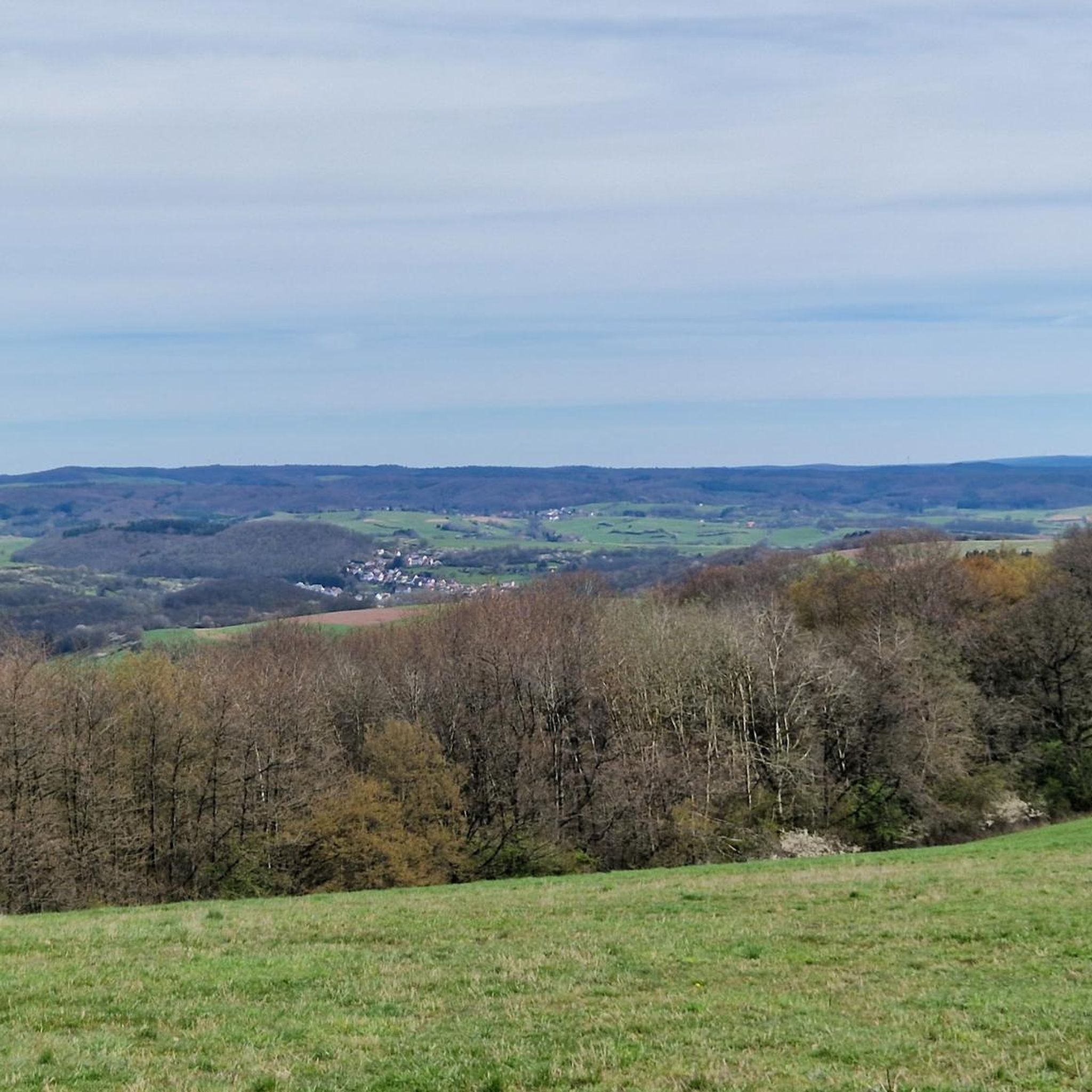
Hiking trails around Landkreis Kaiserslautern traverse a diverse landscape characterized by extensive forests, picturesque hills, and unique natural features. The region is dominated by the Palatinate Forest, a UNESCO biosphere reserve, offering vast woodlands for exploration. Hikers will also find areas like the Mehlinger Heide, Germany's second-largest heath, and the dramatic sandstone rock formations of the Dahner Felsenland. This varied terrain provides a wide range of outdoor experiences.
Best hiking trails around Landkreis Kaiserslautern
- The most popular hiking route is…
Last updated: October 10, 2026
4.6
(647)
2,233
hikers
10.2km
02:51
190m
190m
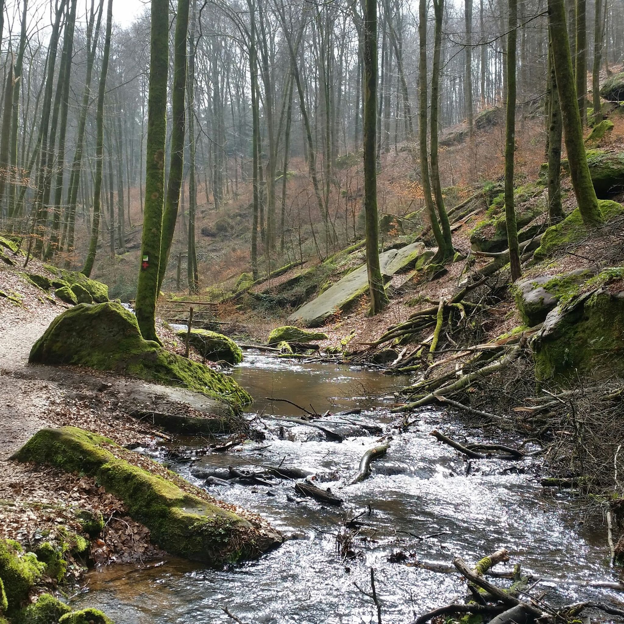
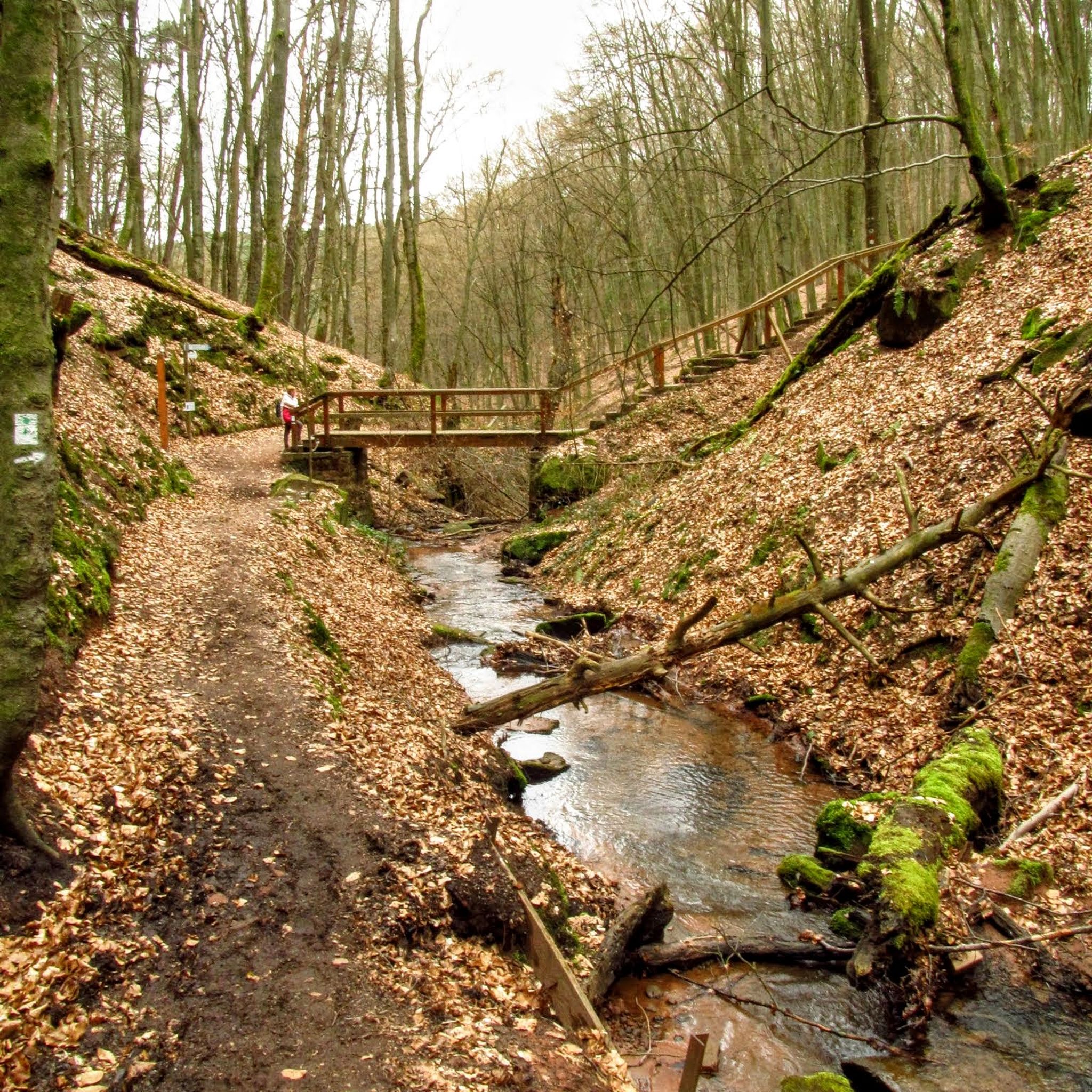
Hike the moderate 6.4-mile Karlstal Circular Trail through a romantic gorge, past historic castles, and serene ponds in the Palatinate Fores
4.6
(196)
614
hikers
12.3km
03:21
180m
180m
Hike the moderate 7.7-mile Hochfelsweg Trail in Mehlinger Heide, exploring ancient Roman roads, mysterious rock formations, and tranquil lak

4.6
(117)
339
hikers
17.4km
05:09
470m
470m
Hard hike. Very good fitness required. Easily-accessible paths. Suitable for all skill levels.
4.7
(98)
353
hikers
12.8km
03:36
250m
250m
Hike the moderate Burg-Nanstein-Weg, a 8.0-mile (12.8 km) loop through the Palatinate Forest, featuring Nanstein Castle and scenic views.
4.5
(306)
866
hikers
8.11km
02:15
140m
140m
Moderate hike. Good fitness required. Mostly accessible paths. Sure-footedness required.
4.7
(414)
1,383
hikers
8.35km
02:12
80m
80m
Moderate hike. Good fitness required. Easily-accessible paths. Suitable for all skill levels.
4.7
(287)
974
hikers
8.66km
02:27
180m
180m
Moderate hike. Good fitness required. Easily-accessible paths. Suitable for all skill levels.
4.7
(300)
1,019
hikers
9.62km
02:35
110m
110m
Moderate hike. Good fitness required. Mostly accessible paths. Sure-footedness required.
4.7
(396)
1,287
hikers
12.3km
03:25
180m
180m
Moderate hike. Good fitness required. Mostly accessible paths. Sure-footedness required.
4.6
(132)
407
hikers
10.0km
02:50
220m
220m
Moderate hike. Good fitness required. Easily-accessible paths. Suitable for all skill levels.
Get access to more routes and recommendations from other explorers.
Already have an account?
Our route recommendations are based on thousands of hikes, rides, and runs completed by other people on komoot.
Start today with a free account
Your next adventure awaits.
Other adventures around Landkreis Kaiserslautern


Tips from the Community

worth seeing with an interesting information board, as with all time signs
0
0
very idyllic spot with a beautiful view of the Donnersberg, you should also stop by
0
0
and if there are only three people on the heath, you meet them here
0
0
you have to inform yourself,...
0
0

This grain mill has a varied history of 400 years with a whole series of owners. Until a few years ago, it was still in operation and supplied local bakeries. Today, it houses the mill shop, which is worth a visit and where you can purchase various grain products.
0
0
Shady resting place on the edge of the forest. There is a seating area, an information board about potato cultivation in the region, and a beautiful view.
0
0

A road of the Celts, not the Romans.
0
0

great gorge especially in summer
0
0
Frequently Asked Questions
How many hiking trails are available in Landkreis Kaiserslautern?
Landkreis Kaiserslautern offers a vast network of over 3,100 hiking trails, catering to a wide range of preferences and fitness levels. More than 1,800 of these are rated as easy, making the region accessible for casual walkers and families.
Are there easy or family-friendly hiking trails in Landkreis Kaiserslautern?
Yes, over 1,800 of the trails in Landkreis Kaiserslautern are rated as easy. Many are suitable for families, including specific 'Adventure Trails' in the Palatinate Forest Biosphere Reserve designed for children, such as the 'Forest-Water-Wilderness Trail'. The 'Planet Trail' is another engaging 7 km option that illustrates the solar system. The Rock formation Heidenfelsen – Bärenloch Pond loop from Landstuhl is an easy 6.2 km route that families might enjoy.
What kind of natural landscapes can I expect to see while hiking in Landkreis Kaiserslautern?
The region is incredibly diverse. You'll encounter the vast, contiguous woodlands of the Palatinate Forest, a UNESCO biosphere reserve. Unique heathlands like the Mehlinger Heide, Germany's second-largest, offer distinct flora and fauna. Dramatic sandstone rock formations and deep valleys characterize areas like the Dahner Felsenland, while picturesque ravines such as the Karlstal Gorge provide scenic walks.
Are there any circular hiking routes in Landkreis Kaiserslautern?
Yes, many trails in Landkreis Kaiserslautern are circular, offering convenient starting and ending points. Popular options include the Karlstal Circular Trail, a 10.2 km route through the scenic Karlstal Gorge, and the Mehlinger Heath loop from Mehlingen, which is 8.3 km long and explores the unique heathland.
What are some notable attractions or landmarks I can see along the hiking trails?
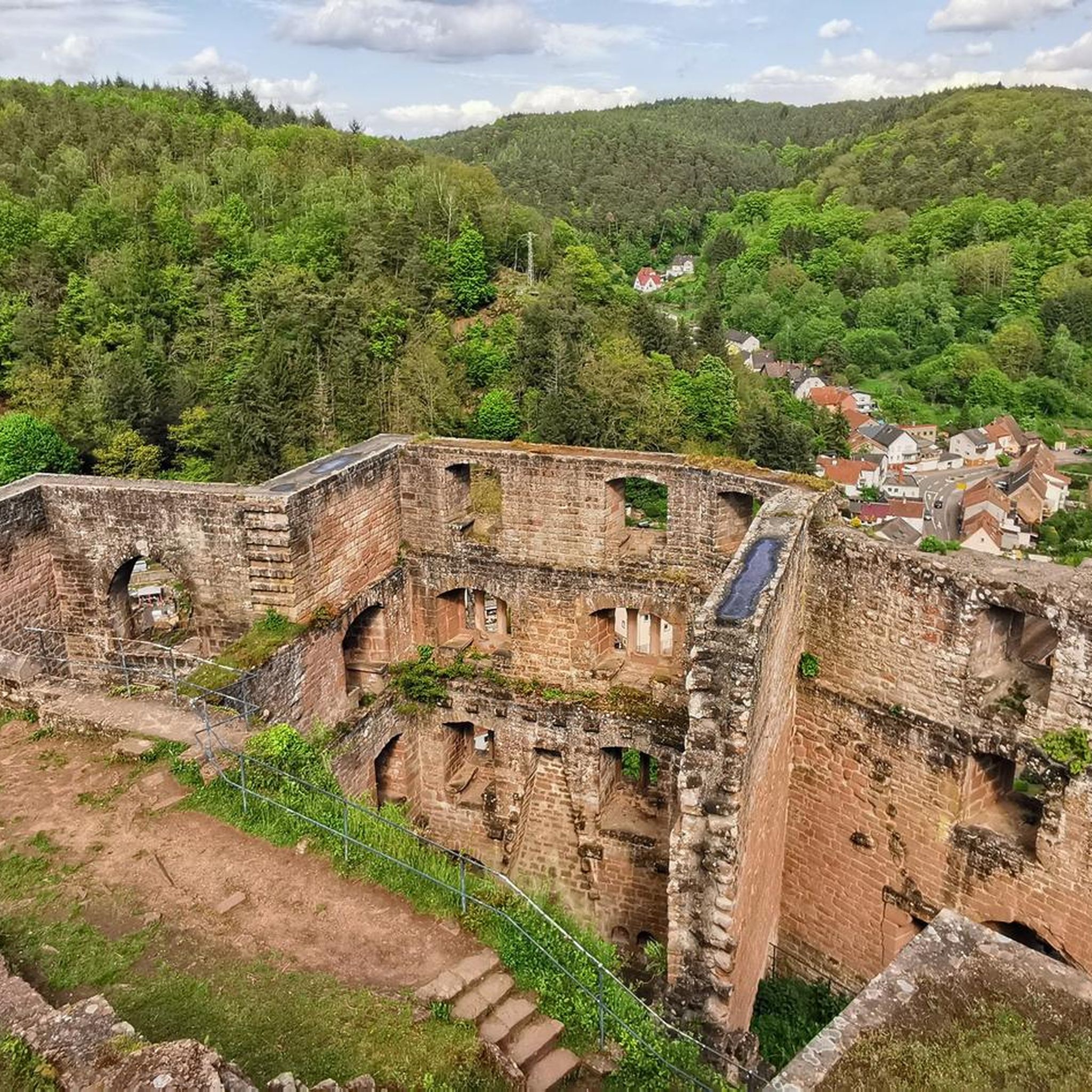
Hikers can discover a wealth of historical and natural attractions. You can visit impressive castles like Nanstein Castle, which is featured on the Nanstein Castle Trail, or the Ruins of Hohenecken Castle. Natural highlights include the picturesque Pavilion in the Karlstal gorge and the Pfaffenbrunnen Spring and Cascade. The region also features ancient Celtic settlements, such as on the Donnersberg, the highest mountain in Rhineland-Palatinate.
What is the best time of year to go hiking in Landkreis Kaiserslautern?
Spring and autumn are particularly recommended for hiking in Landkreis Kaiserslautern. In spring, the landscapes are lush and green, while autumn offers vibrant foliage and comfortable temperatures. The diverse terrain ensures that trails are enjoyable throughout these seasons.
Are there any trails that offer panoramic views?
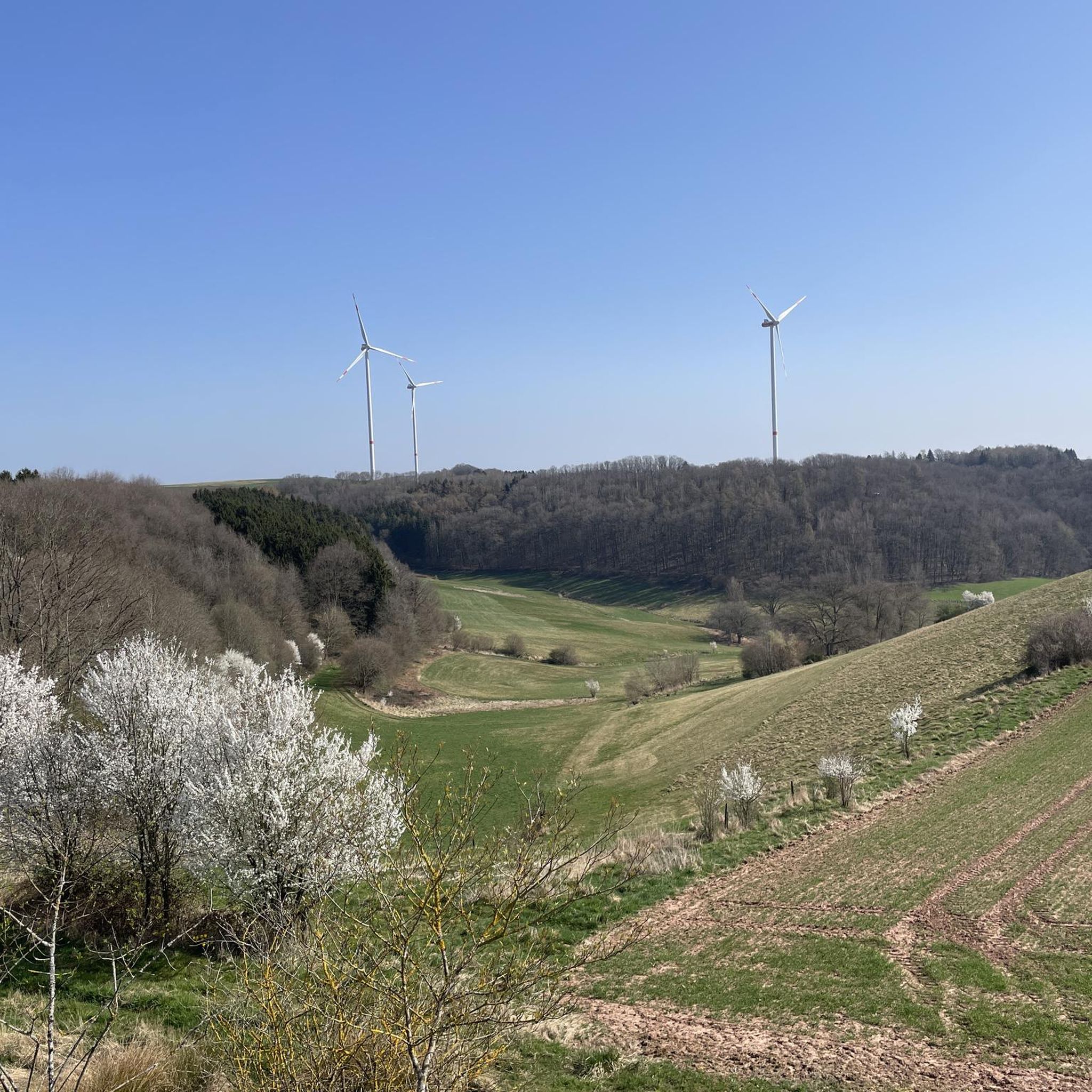
Yes, the region's hilly terrain and the Donnersberg, the highest mountain in Rhineland-Palatinate, provide excellent opportunities for panoramic views. Trails like the Pfälzer Höhenweg are known for passing beautiful vantage points across the Palatinate mountains. The Hochfelsweg Trail also offers varied terrain and scenic vistas.
What do other hikers enjoy most about hiking in Landkreis Kaiserslautern?
The area is highly rated by the komoot community, with an average score of 4.6 stars from over 14,000 reviews. Hikers often praise the region's diverse landscapes, from the quiet woodlands of the Palatinate Forest to the unique Mehlinger Heide, and the well-marked paths that cater to all ability levels.
Are there any long-distance hiking trails in the region?
Yes, Landkreis Kaiserslautern is home to several notable long-distance trails. The Pfälzer Höhenweg spans approximately 100 kilometers through an impressive mountain landscape, passing idyllic villages and castles. The award-winning Pfälzer Waldpfad covers 143 kilometers, leading hikers through the heart of the Palatinate Forest with spectacular rocks and deeply incised valleys.
Are there options for shorter hikes, perhaps under 2 hours?
Absolutely. While many trails are longer, there are numerous shorter options available. For example, the Rock formation Heidenfelsen – Bärenloch Pond loop from Landstuhl is an easy 6.2 km route that typically takes around 1 hour 40 minutes to complete, perfect for a quick outing.
Can I find trails that are suitable for dogs?
Many trails in Landkreis Kaiserslautern, especially those through the extensive Palatinate Forest, are dog-friendly. It's always recommended to keep dogs on a leash, particularly in nature reserves or areas with wildlife, and to check local regulations for specific trails. The natural environment offers plenty of space for you and your dog to enjoy.
Are there any trails that feature water elements like springs or streams?
Yes, the region features several trails with beautiful water elements. The Karlstal Gorge, for instance, is known for its picturesque stream. The Leinbachtal, situated between Frankenstein and Waldleiningen, is rich in biodiversity and features numerous springs and wells. You can also find highlights like the Pfaffenbrunnen Spring and Cascade along certain routes.
Most popular routes around Landkreis Kaiserslautern
Most popular attractions around Landkreis Kaiserslautern

Get inspired with the komoot mobile app


Didn’t find what you were looking for?
Check out more Hikes throughout Landkreis Kaiserslautern below and find the perfect route in your destination.
Explore more
Browse the best Hikes in other regions.
