The best walks and hikes around Péronne
4.6
(460)
2,003
hikers
157
hikes
Hiking trails around Péronne traverse a landscape shaped by the River Somme and its canal, featuring tranquil marshlands and ponds. The region is characterized by its flat to gently rolling terrain, offering accessible paths along waterways and through historical sites. This area in northern France combines natural environments with significant World War I battlefields and memorials, providing a unique context for outdoor exploration.
Best hiking trails around Péronne
- The most popular hiking route is Azé Caves loop from Azé,…
Last updated: October 14, 2026
4.8
(4)
8
hikers
18.6km
05:24
490m
490m
Hard hike. Very good fitness required. Easily-accessible paths. Suitable for all skill levels.
4.2
(6)
10
hikers
9.27km
02:39
220m
220m
Moderate hike. Good fitness required. Easily-accessible paths. Suitable for all skill levels.

3.7
(7)
18
hikers
6.68km
01:53
140m
140m
Easy hike. Great for any fitness level. Easily-accessible paths. Suitable for all skill levels.
5.0
(3)
8
hikers
4.25km
01:18
150m
150m
Easy hike. Great for any fitness level. Easily-accessible paths. Suitable for all skill levels.
5.0
(2)
3
hikers
19.8km
05:43
480m
480m
Hard hike. Very good fitness required. Easily-accessible paths. Suitable for all skill levels.
Get access to more routes and recommendations from other explorers.
Already have an account?
Our route recommendations are based on thousands of hikes, rides, and runs completed by other people on komoot.
Start today with a free account
Your next adventure awaits.

Tips from the Community

Magnificent view, which is worth the climb. Unfortunately, the refreshment stop was closed.
1
0
The Romanesque church originally dates from the 11th to 12th centuries. It is a classic example of the early Romanesque art of the Haut-Mâconnais region. The nave, the choir, and the distinctive square bell tower are entirely preserved in this style. Over the centuries (in the Gothic period as well as in the 19th century) there were minor architectural changes. Monument protection: The building has been classified as an official French cultural monument (Monument historique) since 1979.
1
0
The caves were already used by humans and animals around 250,000 years ago. It is mainly known for the huge number of found bones of cave bears and cave lions. Visitors can explore a prehistoric cave full of bone finds as well as a second cave with an impressive underground river. Right on site, there is an archaeological museum that displays the finds.
1
0
Mont Saint-Romain is a 579-meter-high mountain in the Mâconnais mountains above the picturesque valley of Blanot. From the summit, you have a comprehensive 360-degree view. To the west, you look out over the hills of Clunisois, and to the east, over the Saône valley. In very clear weather, the view extends to the Alps and Mont Blanc. On the roof of the local Auberge, there is a distinctive, historic orientation table, which was erected in 1948 by the Touring-Club de France. Directly at the viewpoint, a small Auberge (mountain inn) with an outdoor terrace invites you to stop for a break.
1
0

A site in the middle of the forests with an incomparable viewpoint
1
0

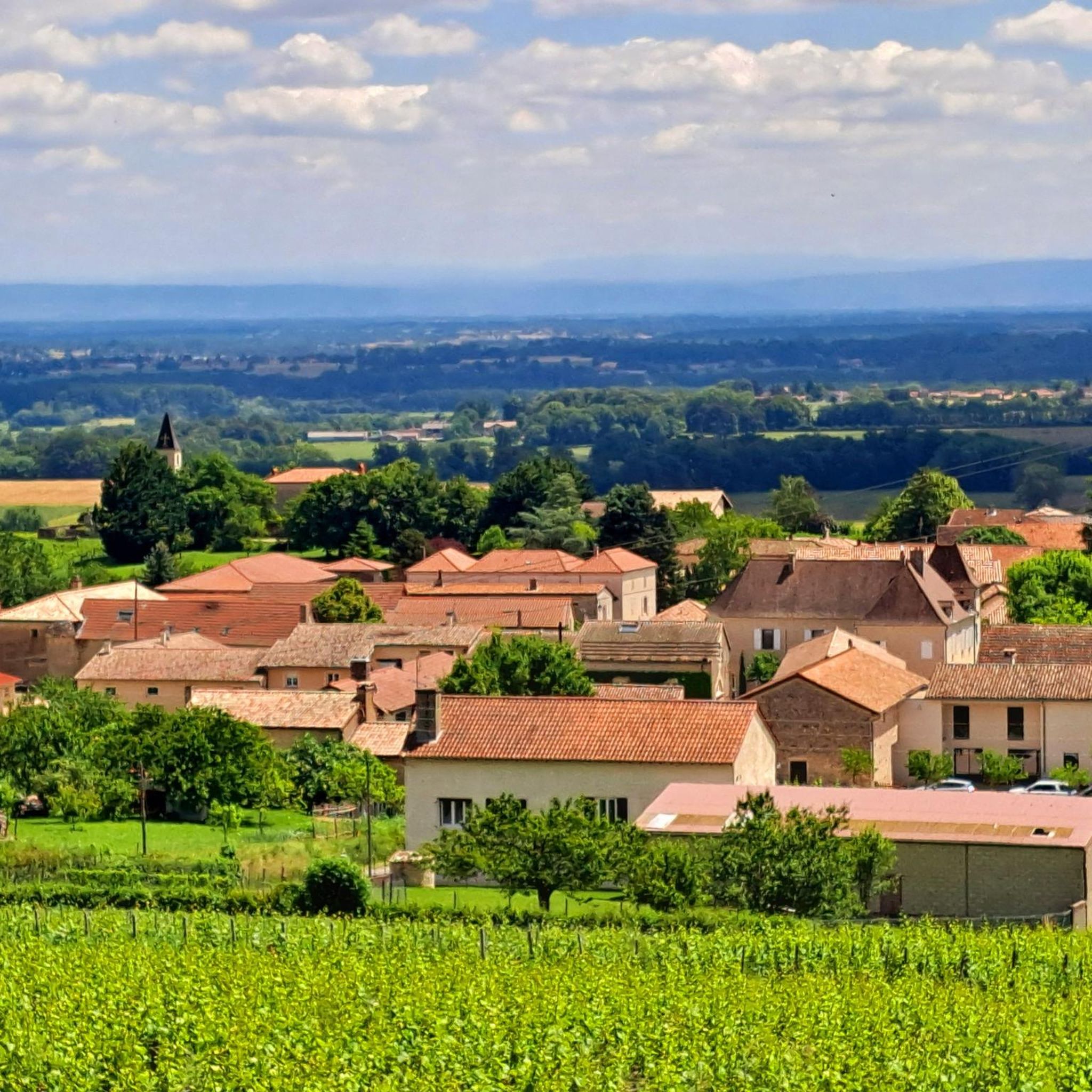
This Romanesque church is located on the heights of the commune of Burgy to which it is attached. It is said to have been built during the 12th century. Its position above the village allows it to open up pretty panoramas of the vineyards that surround it.
1
0

beautiful walk arriving at Mont St Romain. 360° panorama and very nice little restaurant.
1
0

It is necessary to have good shoes to use this part of the GR76. Sometimes slippery if there is humidity. Plan a short stop at “Notre Dame des Roches”.
0
0
Frequently Asked Questions
What are the general characteristics of hiking trails around Péronne?
Hiking trails in the Péronne area are typically flat to gently rolling, traversing a landscape shaped by the River Somme and its canal. You'll find accessible paths along waterways, through tranquil marshlands, and past significant World War I historical sites. The region offers a unique blend of natural beauty and profound historical context.
What are the difficulty levels of hiking trails around Péronne?
The Péronne area offers a range of hiking trails suitable for various fitness levels. Out of over 120 available routes, approximately 38 are considered easy, 75 are moderate, and 13 are more difficult, providing options for everyone from casual strollers to experienced hikers.
Are there family-friendly hiking options in Péronne?
Yes, Péronne offers several family-friendly hiking options, particularly along the Canal de la Somme and through the town itself. These routes are generally flat and provide a relaxing backdrop for strolls. For example, the 'walking circuit of Péronne' is a 3 km circuit within the town, perfect for a leisurely family walk. Many of the easy-rated trails, such as the Hiking loop from Viré, are also suitable for families.
Can I bring my dog on the hiking trails around Péronne?
Many of the natural trails and towpaths along the River Somme and its canal are suitable for dogs, provided they are kept under control. It's always advisable to check local regulations or signage at specific trailheads, especially in protected marshland areas or historical sites, to ensure dogs are permitted.
Are there any historical landmarks or natural viewpoints to discover while hiking near Péronne?
Absolutely. The Péronne area is rich in both natural beauty and historical significance. You can explore the picturesque banks of the River Somme and its canal, or venture into the 'marais de la Haute-Somme' (High Somme marshlands) for unique wetland ecosystems. Historically, many trails are integrated with World War I battlefields and memorials. Notable sites include the Lochnagar Crater, an impressive war memorial, and the preserved trenches at Beaumont-Hamel Newfoundland Memorial Park. While hiking, you might also encounter the medieval Château de Péronne, which houses the Historial de la Grande Guerre museum.
What is the best time of year to go hiking in Péronne?
The spring and autumn months generally offer the most pleasant conditions for hiking in Péronne, with milder temperatures and beautiful scenery. Spring brings blooming flora, while autumn showcases vibrant fall colors. Summer can also be enjoyable, especially along the shaded riverbanks, but be prepared for warmer weather. Winter hiking is possible, but some paths might be muddy, and daylight hours are shorter.
Is parking available at trailheads around Péronne?
Parking is generally available in and around Péronne, particularly near popular starting points for trails. For routes that begin in villages or at specific historical sites, designated parking areas are often provided. It's recommended to check the specific route details on komoot for information on parking availability at individual trailheads.
Can I reach hiking trails near Péronne by public transport?
While Péronne itself has some public transport connections, direct access to all hiking trailheads by public transport might be limited. Many trails start from smaller villages or rural locations. It's advisable to research local bus services or consider a combination of public transport to Péronne and then a short taxi ride or cycling to reach more remote trail starting points.
What do other hikers enjoy the most about hiking in Péronne?
The komoot community highly rates the hiking experience in Péronne, with an average score of 4.7 stars from over 300 reviews. Hikers often praise the region's unique blend of tranquil river landscapes, preserved marshlands, and the poignant historical context of the World War I battlefields. The well-maintained paths and diverse scenery are frequently highlighted as enjoyable aspects.
Are there any circular walks recommended around Péronne?
Yes, the region offers several excellent circular walks. For instance, the Azé Caves loop from Azé is a popular 7.1 km circular route. Another option is the Hiking loop from Burgy, which covers 5.8 km. The 'walking circuit of Péronne' is also a convenient 3 km loop within the town itself, offering views of the château and river.
What kind of natural environments can I expect to see on hikes in Péronne?
Hiking in Péronne will immerse you in diverse natural environments. You'll encounter the serene waters and lush greenery along the River Somme and its canal, offering opportunities for birdwatching. The region is also known for its unique marshlands and ponds, such as the 'marais de la Haute-Somme', which are preserved ecosystems rich in flora and fauna. These watery landscapes provide a tranquil setting for exploration.
Most popular attractions around Péronne

Get inspired with the komoot mobile app


Explore more
Browse the best Hikes in other regions.
