The best running trails around Übereisenbach
4.4
(32)
413
runners
28
runs
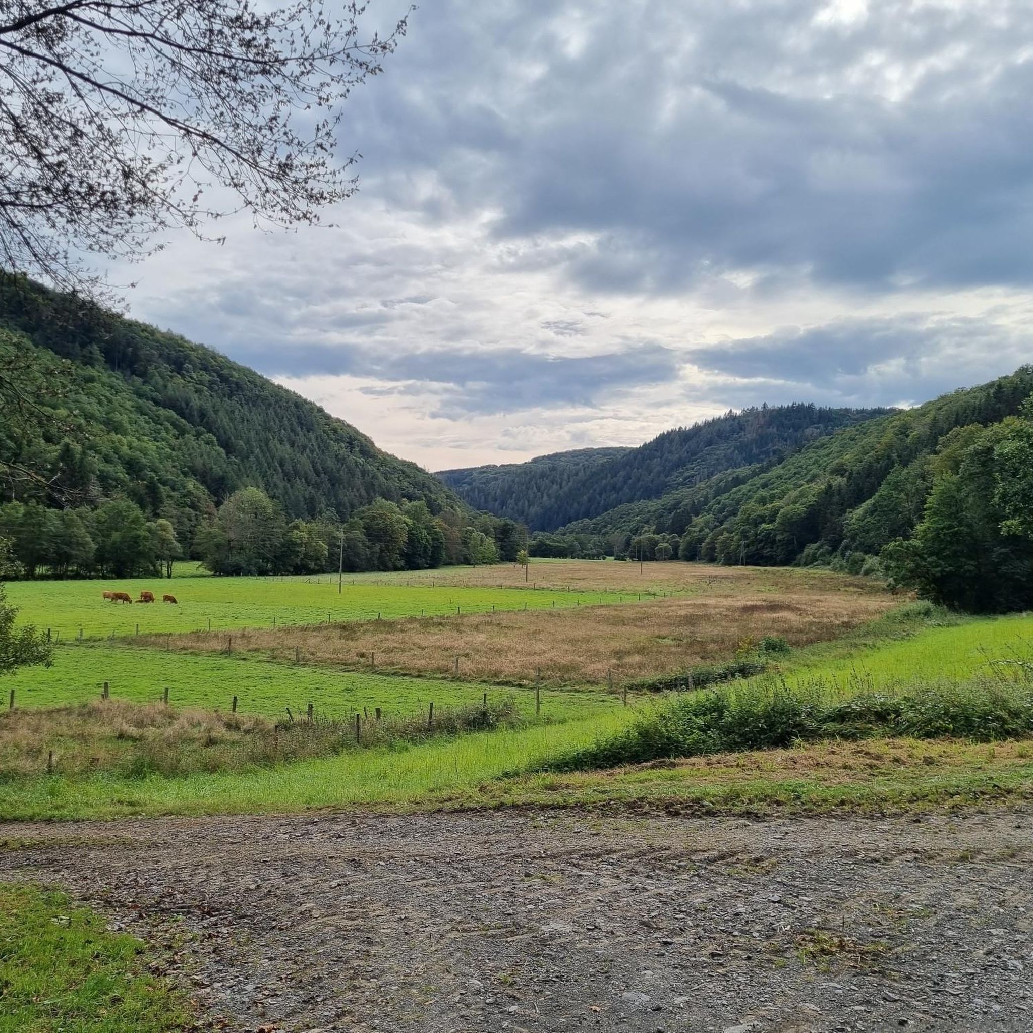
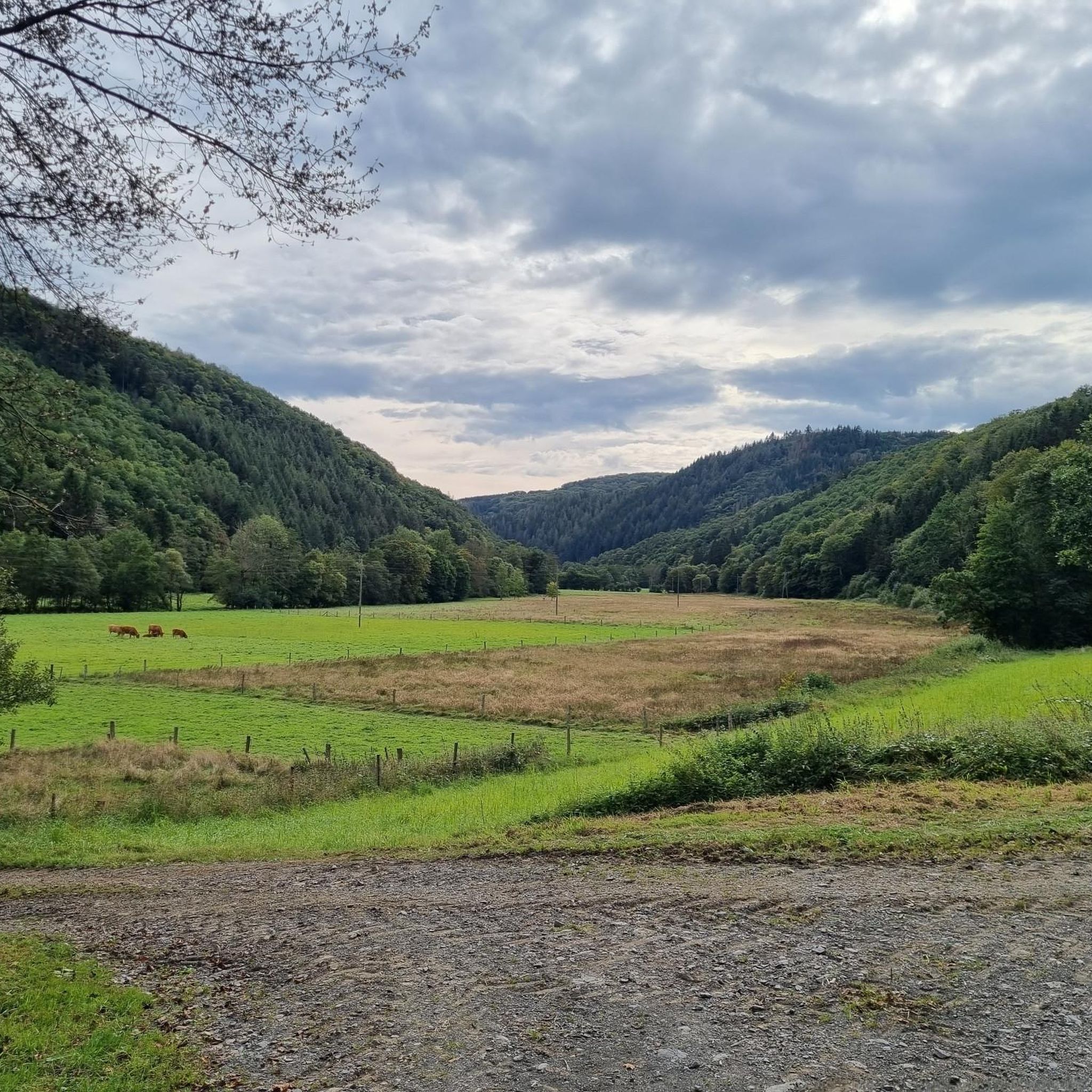
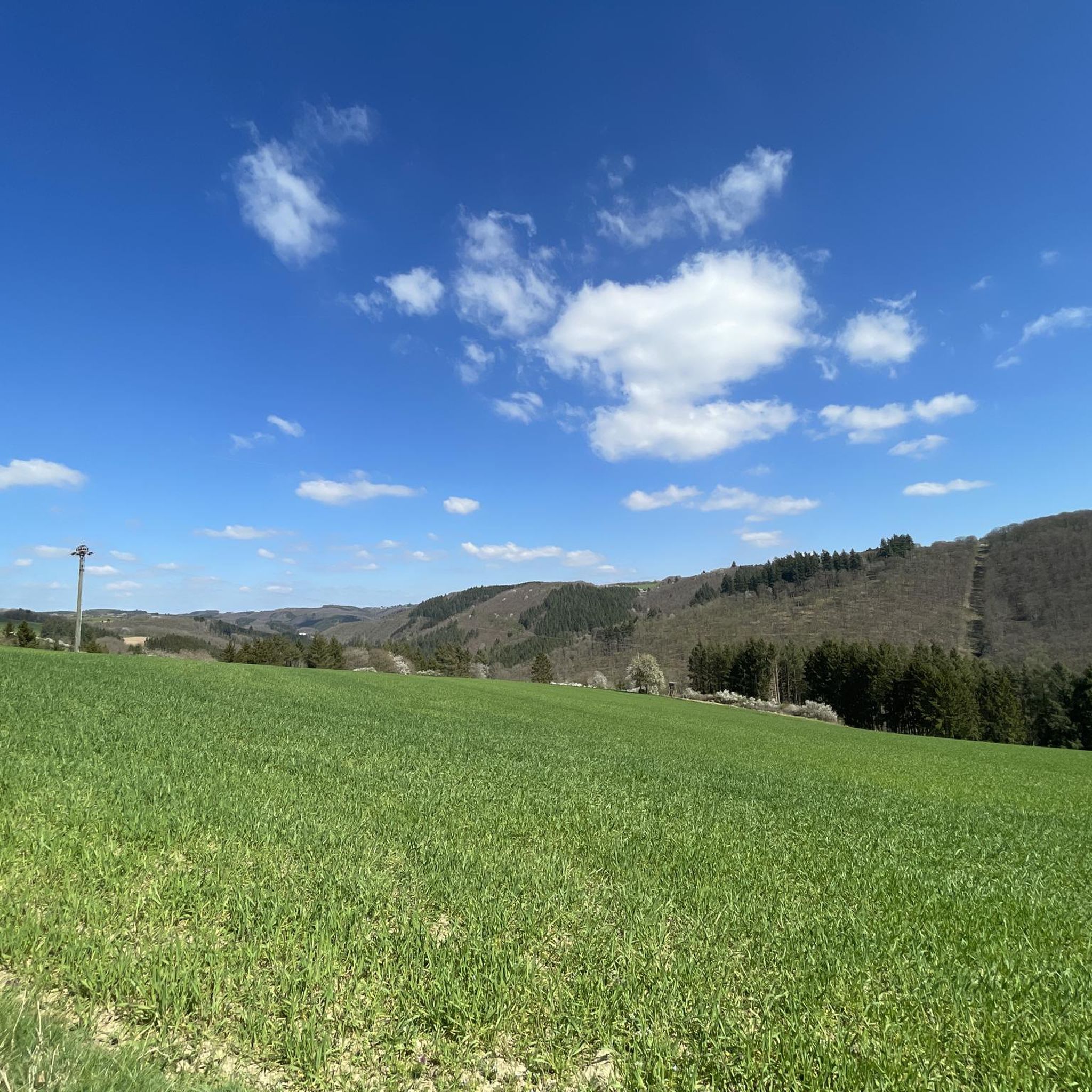
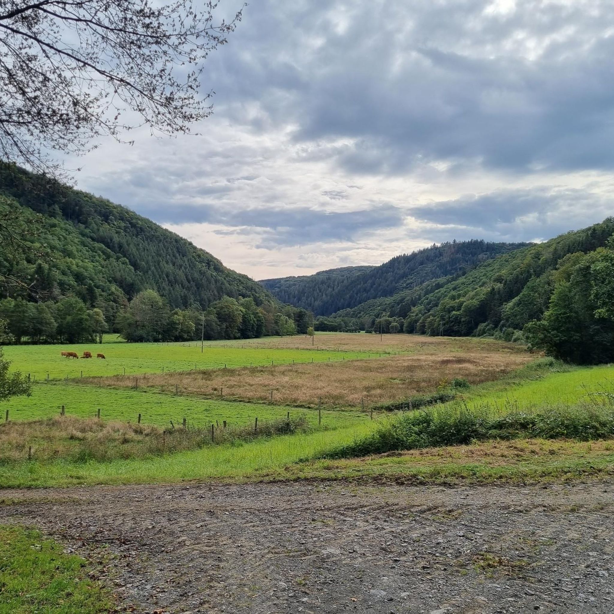
Jogging around Übereisenbach offers a diverse landscape for runners. The region is characterized by rolling hills and valleys, with routes often winding through forested areas and alongside rivers. Elevation changes are common, providing varied terrain for different fitness levels.
Best jogging routes around Übereisenbach
- The most popular jogging route is Domaine La Sapinière – Restaurant Dännenzapp loop from Parc Hosingen, a 7.2 miles (11.6 km) trail that takes about 1 hour 19 minutes to complete. This moderate route features…
Last updated: August 13, 2026
3.5
(6)
28
runners
7.42km
00:51
170m
170m
Moderate run. Good fitness required. Mostly paved surfaces. Suitable for all skill levels.
25
runners
11.6km
01:20
280m
280m
Moderate run. Good fitness required. Mostly paved surfaces. Suitable for all skill levels.

Sign up for free
4.0
(1)
16
runners
4.87km
00:31
50m
50m
Easy run. Great for any fitness level. Mostly paved surfaces. Suitable for all skill levels.
18
runners
23.8km
03:03
830m
830m
Hard run. Very good fitness required. Sure-footedness, sturdy shoes and alpine experience required.
5.0
(1)
12
runners
Hard run. Very good fitness required. Mostly paved surfaces. Suitable for all skill levels.
Get access to more routes and recommendations from other explorers.
Sign up for free
Already have an account?
Our route recommendations are based on thousands of hikes, rides, and runs completed by other people on komoot.
Start today with a free account
Your next adventure awaits.
Login or Signup

Tips from the Community


After a long climb from Bivels, you are rewarded here with a beautiful panorama
0
0

A tourist source describes the chapel as the result of a church dispute between the upper and lower towns of Vianden. After Trinitarian monks settled in the upper town in 1248 and the parishes were divided in 1256, the Trinitarians took over the chapel in 1312 following the dissolution of the Knights Templar. In remembrance of the Templars, they dedicated it to Saint Nicholas, the patron saint of travelers. The altarpiece in the chancel, featuring a statue of Saint Nicholas, dates from 1768.
2
0

Who is Victor Hugo (1802-1885), in whose name this viewpoint is located? As far as I can tell, he was a French author of works such as "Les Misérable." He stayed in Vianden regularly between 1862 and 1871 as a tourist, exile, or political refugee.
0
0

A breathtaking view, highly recommended. The trail between Bauler and Falkenstein Castle is not easy to do on a mountain bike, however.
1
0

The sheet pile wall is covered with moss. This was removed in certain places, after which these beautiful portraits became visible.
2
0

Victor Hugo viewpoint
0
0

Very nice view with some cultural training.
1
0
Frequently Asked Questions
How many running routes are available around Übereisenbach?
There are over 25 dedicated running routes around Übereisenbach listed on komoot, offering a wide range of options for different fitness levels and preferences.
Are there any easy jogging routes suitable for beginners or a quick run?
Yes, for an easier experience, consider the Bassins supérieurs loop from Canton Vianden. This 3.0-mile (4.9 km) path has minimal elevation gain, making it ideal for a gentle jog or a quick workout.
What kind of terrain can I expect on the running trails in Übereisenbach?
The region is characterized by rolling hills and valleys, with routes often winding through forested areas and alongside rivers. You'll encounter varied terrain, from gentle paths to more challenging sections with significant elevation changes.
Are there any challenging running routes for experienced runners?
Absolutely. For a more demanding run, the Vianden Castle – Saint Nicholas Church loop from Waldhof-Falkenstein offers a substantial 14.9 miles (24.0 km) with considerable elevation gain, leading through varied terrain and historical sites. Another challenging option is the Restaurant Dännenzapp – Bannert Communication Tower loop from Parc Hosingen, spanning nearly 17 km with significant climbs.
Can I find running routes with scenic views or interesting landmarks?
Many routes offer beautiful views. For instance, the area around Vianden features historical sites like Viewpoint Overlooking Vianden Dam and Cemetery. You can also find paths along the Our Reservoir with views of Vianden Castle, such as the Riverside Path Along the Our Reservoir with Views of Vianden Castle.
Are there any circular jogging trails around Übereisenbach?
Yes, most of the routes in this guide are circular, allowing you to start and finish at the same point. Examples include the Domaine La Sapinière – Restaurant Dännenzapp loop from Parc Hosingen and the Bassins supérieurs loop from Canton Vianden.
What do other runners say about the trails in Übereisenbach?
The running routes in Übereisenbach are highly rated by the komoot community, with an average score of 4.5 stars from over 20 reviews. Runners often praise the diverse landscape, the well-maintained paths, and the variety of options for different skill levels.
Are there any running routes that pass by lakes or water features?
Yes, the region features several beautiful water bodies. You can find routes near the Upper Reservoir of the Vianden Pumped Storage Plant or the Pond in Naturpark Südeifel, offering refreshing views during your run.
Is it possible to find less crowded running routes in the area?
While some popular routes can see more traffic, the extensive network of trails around Übereisenbach means you can often find quieter paths, especially on weekdays or by exploring some of the longer, more challenging routes like the Black Hole Cave – Our Valley loop from Dasburg.
What is the best season for running in Übereisenbach?
The varied terrain and forested areas make Übereisenbach suitable for running in most seasons. Spring and autumn offer pleasant temperatures and beautiful foliage. Summer is great for early morning or late evening runs, while winter can be enjoyed on cleared paths, though some trails might be more challenging due to snow or ice.
Are there any family-friendly running trails suitable for children?
For families, the easier and shorter routes with minimal elevation are generally best. The Bassins supérieurs loop from Canton Vianden is a good option, as its gentle gradient and shorter distance make it manageable for younger runners or those pushing strollers.
Most popular attractions around Übereisenbach

Get inspired with the komoot mobile app


Explore more
Browse the best Running Trails & Routes in other regions.
