The best walks and hikes around Übereisenbach
4.5
(6501)
25,715
hikers
374
hikes
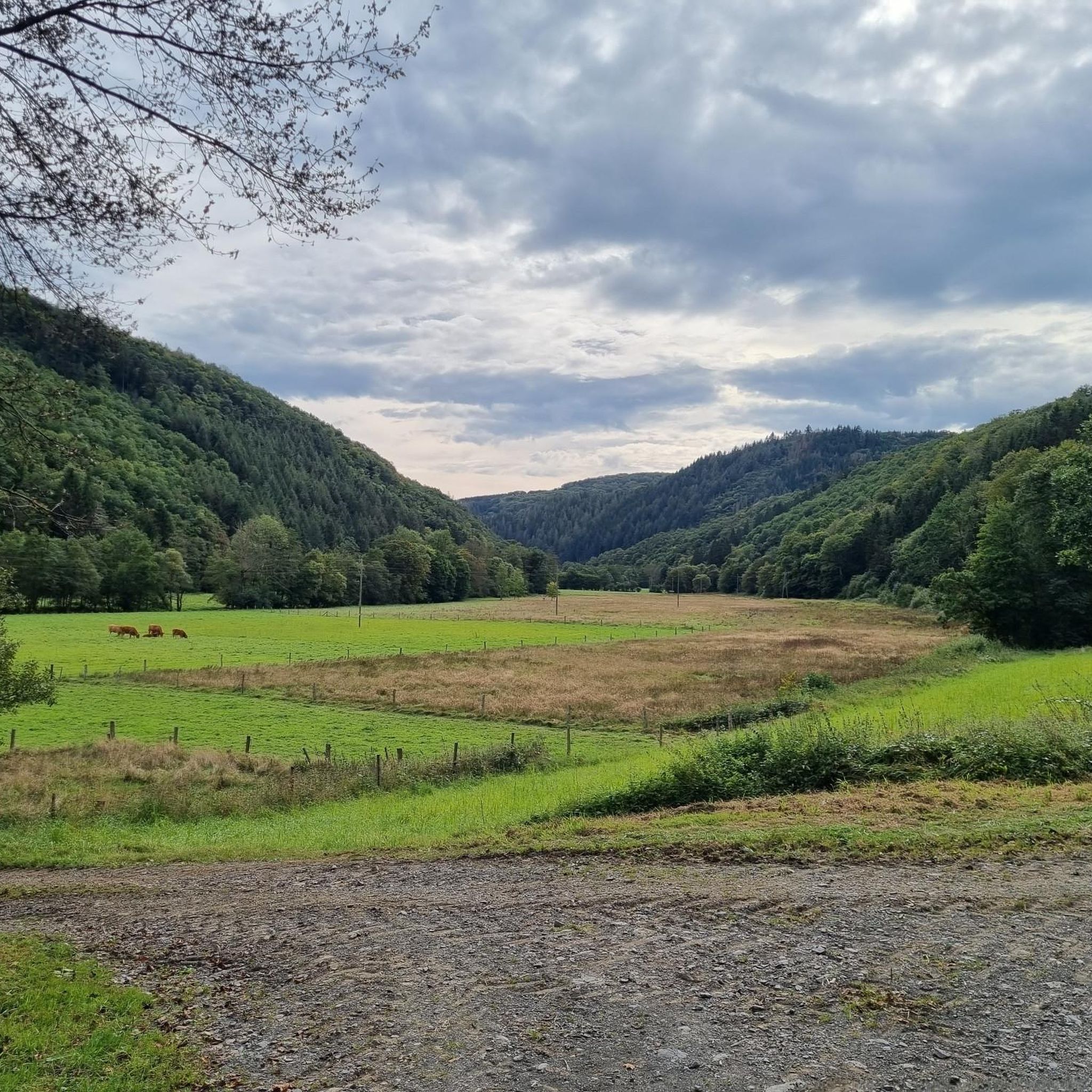
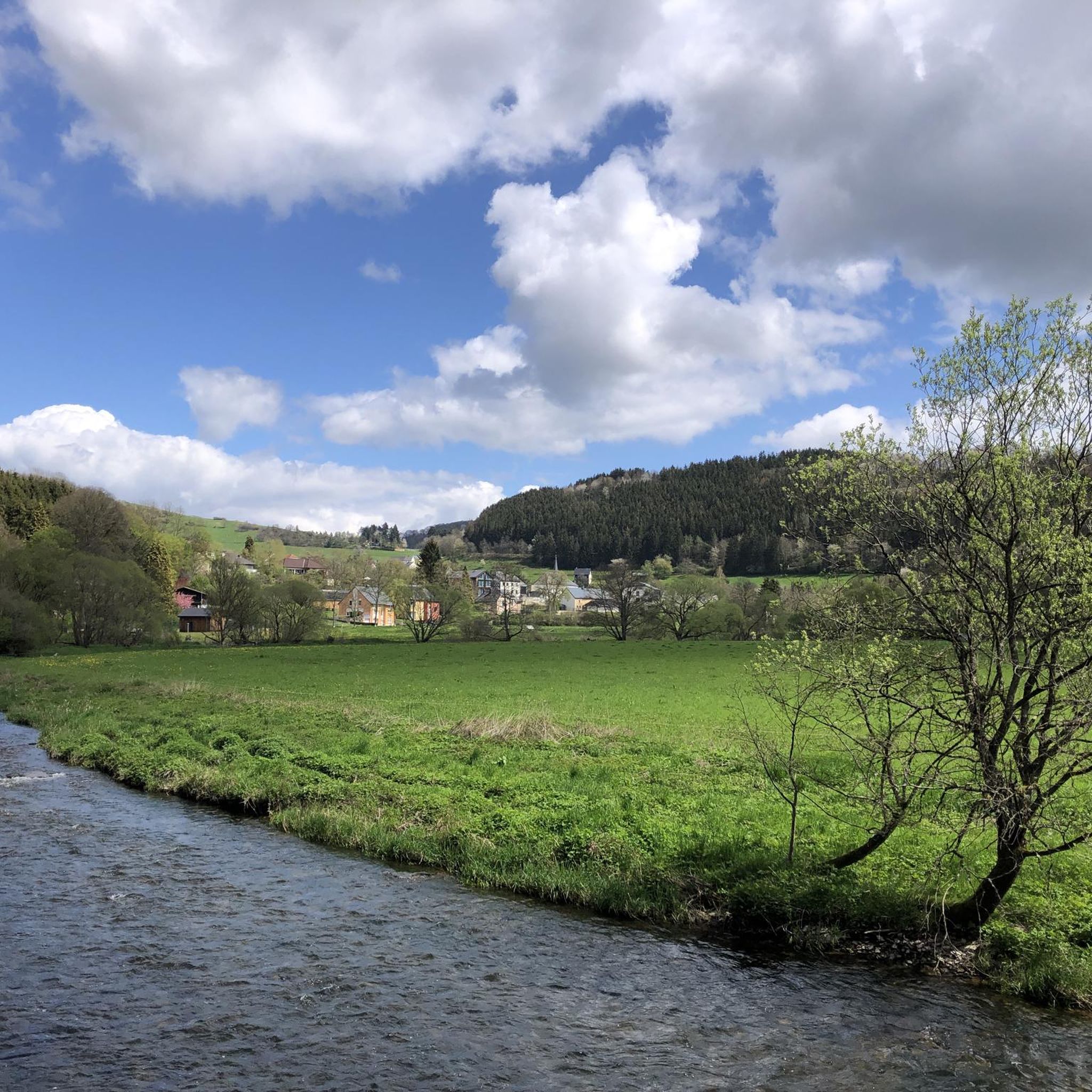
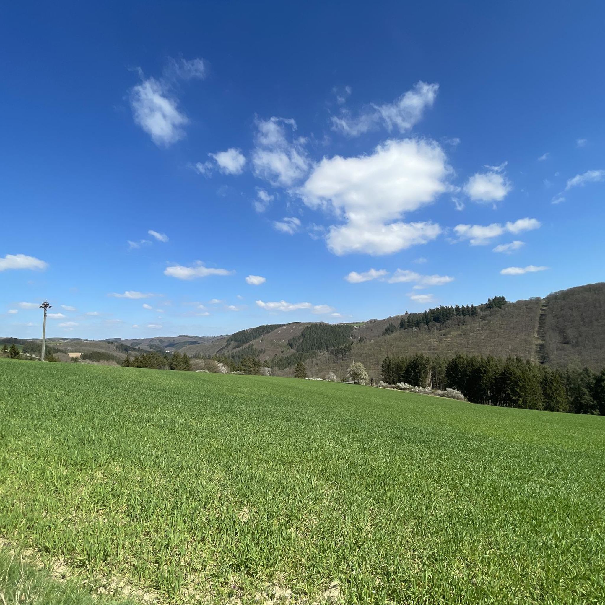
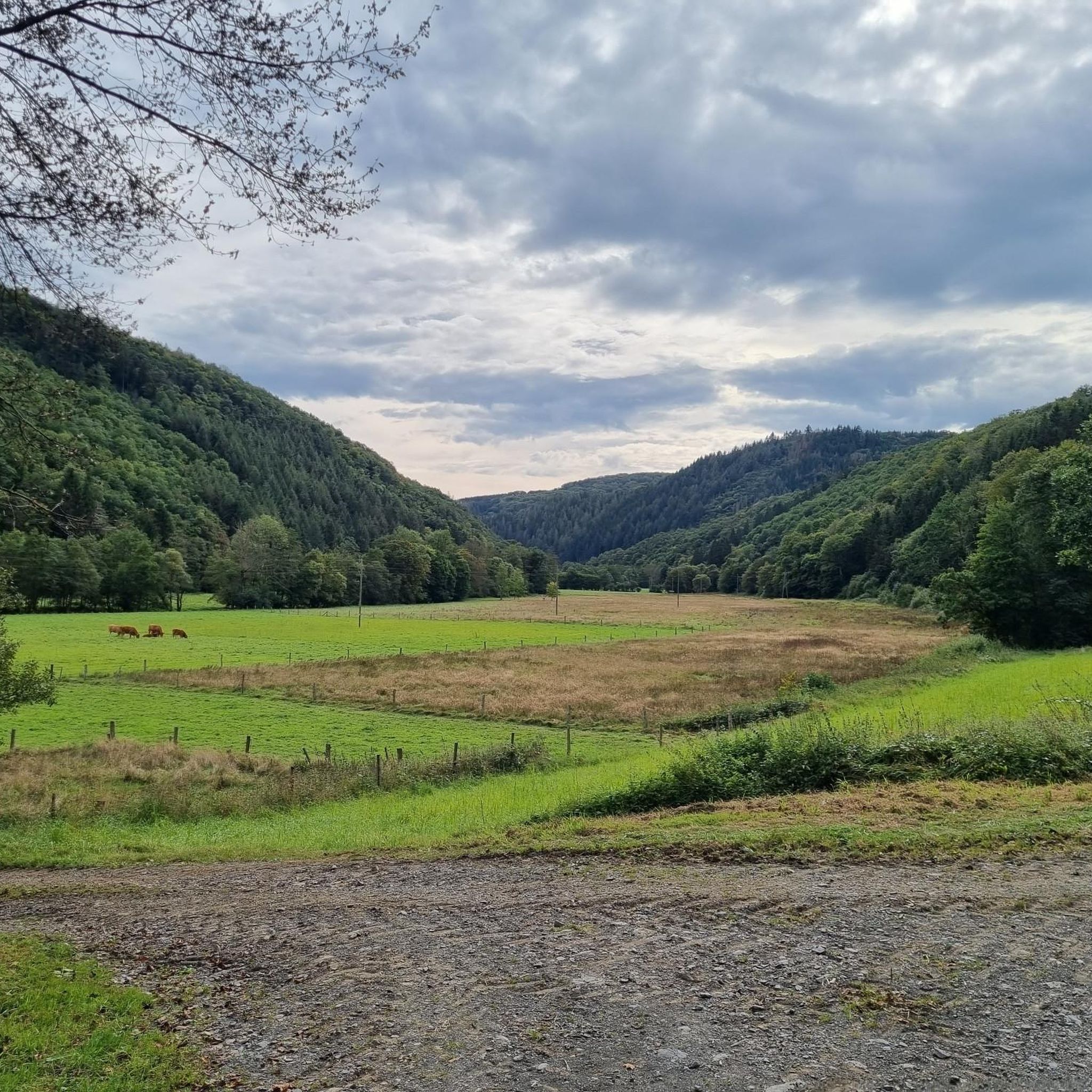
Hiking around Übereisenbach offers diverse landscapes within the Eifel region of western Germany. The area is characterized by the picturesque Our and Irsen valleys, featuring riverine landscapes and rolling hills. Dense forests and rugged slate rocks contribute to a varied topography, providing different terrains for exploration. Übereisenbach is situated above the Our River, directly across from Untereisenbach in Luxembourg.
Best hiking trails around Übereisenbach
- The most popular hiking route is View of the Eifel Valley – View of Naturpark Südeifel…
Last updated: July 10, 2026
4.3
(90)
287
hikers
4.83km
01:26
150m
150m
Easy hike. Great for any fitness level. Easily-accessible paths. Suitable for all skill levels.
4.5
(45)
187
hikers
10.6km
03:05
280m
280m
Moderate hike. Good fitness required. Easily-accessible paths. Suitable for all skill levels.

Sign up for free
4.4
(36)
109
hikers
8.79km
02:41
290m
290m
Moderate hike. Good fitness required. Easily-accessible paths. Suitable for all skill levels.
4.6
(29)
95
hikers
8.45km
02:37
290m
290m
Moderate hike. Good fitness required. Easily-accessible paths. Suitable for all skill levels.
4.5
(19)
115
hikers
9.69km
03:06
280m
280m
Moderate hike. Good fitness required. Mostly accessible paths. Sure-footedness required.
Get access to more routes and recommendations from other explorers.
Sign up for free
Already have an account?
Our route recommendations are based on thousands of hikes, rides, and runs completed by other people on komoot.
Start today with a free account
Your next adventure awaits.
Login or Signup

Tips from the Community

a nice walk for the afternoon always to do.
0
0


Not bad - but beautiful 👌
1
0

Nice view of the campsite. Quite difficult parts. I stopped halfway, especially since it was already getting dark.
1
0
Binoculars are useful, you can spot quite a bit of wildlife.
1
0

This section of the trail requires good footwear, surefootedness and, in some cases, a head for heights. It can be very dangerous when wet. If in doubt, use the main road.
1
0

Nice path. Partly very steep but it's worth it.
4
0

Bridge over the river Our
2
0
Frequently Asked Questions
How many hiking trails are available around Übereisenbach?
There are over 370 hiking routes available around Übereisenbach, offering a wide variety of options for different skill levels and preferences.
What kind of landscape can I expect when hiking in Übereisenbach?
Hiking in Übereisenbach offers a diverse landscape characterized by the picturesque Our and Irsen valleys, featuring beautiful riverine scenery. You'll encounter rolling hills, dense forests, and even rugged slate rocks, providing varied terrain for exploration within the Eifel region.
Are there hiking routes suitable for beginners or those looking for an easy walk?
Yes, Übereisenbach offers a good selection of easy routes. There are over 150 easy trails, perfect for beginners or those seeking a relaxed stroll. An example is the View of the Eifel Valley – View of Naturpark Südeifel loop from Affler, which is an easy 4.8 km (3.0 miles) route.
Are there more challenging hikes for experienced trekkers in Übereisenbach?
While the majority of routes are easy to moderate, there are nearly 20 difficult hiking trails around Übereisenbach for those seeking a greater challenge. These routes often feature more significant elevation changes and rugged terrain.
Are there many circular hiking routes in the Übereisenbach area?
Yes, many of the hiking routes around Übereisenbach are circular, allowing you to start and end at the same point. The region research mentions the "Rundwanderweg des Naturpark Südeifel Nr. 32 - Übereisenbach-Obereisenbach" as a notable example, traversing the Our and Irsen valleys.
What are some interesting landmarks or attractions I can see near the hiking trails?
The Übereisenbach area is close to several interesting landmarks. You can visit the historic Vianden Castle, a well-preserved medieval castle, or explore the charming town of Clervaux with its own castle and abbey. Don't miss the unique German-Luxembourg Pedestrian Border Bridge over the Our at Bivels, offering views of the surrounding area.
Are there family-friendly hiking options in Übereisenbach?
Yes, the region offers various family-friendly hiking options, especially among the easier routes. The gentle hills and diverse forests provide a pleasant environment for walks with children. Look for shorter, less strenuous circular paths that allow for breaks and exploration.
Can I bring my dog on the hiking trails in Übereisenbach?
Generally, dogs are welcome on hiking trails in the Übereisenbach area. The natural environment with its forests and valleys is ideal for walks with your canine companion. However, always keep your dog on a leash, especially in nature protection areas, and be mindful of local regulations and other hikers.
What do other hikers enjoy most about hiking in Übereisenbach?
The komoot community highly rates the hiking experience in Übereisenbach, with an average score of 4.5 stars from over 5,800 reviews. Hikers often praise the diverse landscapes, the picturesque Our and Irsen valleys, and the variety of routes suitable for different abilities. Many appreciate the extensive views of the Naturpark Südeifel.
Is there public transport access to the hiking trails in Übereisenbach?
While Übereisenbach is a smaller municipality, there are bus connections that can help you reach the area. For specific trailheads, it's advisable to check local bus schedules in advance to plan your access to the starting points of your chosen hikes.
Where can I find parking for hiking trails in Übereisenbach?
Parking for hikers is generally available near trailheads and in the village of Übereisenbach. Given the region's focus on outdoor activities, you will typically find designated parking areas, though it's always good to check specific route descriptions for detailed parking information.
Are there any places to eat or drink along the hiking routes in Übereisenbach?
While Übereisenbach itself is small, the wider Eifel region and nearby towns like Clervaux offer various gastronomy options, including cafes, restaurants, and guesthouses. Some longer routes might pass through or near villages with refreshment stops, but it's always recommended to carry sufficient water and snacks, especially on remote trails.
Most popular attractions around Übereisenbach

Get inspired with the komoot mobile app


Explore more
Browse the best Hikes in other regions.
