The best running trails around Lalacelle
4.5
(13)
499
runners
84
runs
Jogging routes around Lalacelle traverse the varied landscapes of the Orne department within the Normandy region, offering diverse terrain for runners. The area is characterized by its proximity to the Regional Nature Park Normandy-Maine, featuring extensive forests such as Forêt d'Écouves and Forêt de Perseigne. Runners can expect a mix of rural paths, wooded trails, and elevations, including the Mont des Avaloirs, the highest point in western France. This natural setting provides a range of running experiences, from gentle countryside…
Last updated: June 25, 2026
27
runners
15.8km
01:39
110m
110m
Hard run. Very good fitness required. Mostly paved surfaces. Suitable for all skill levels.
8
runners
11.4km
01:20
220m
220m
Moderate run. Good fitness required. Mostly paved surfaces. Suitable for all skill levels.

Sign up for free
4
runners
Moderate run. Good fitness required. Mostly paved surfaces. Suitable for all skill levels.
6
runners
10.2km
01:09
170m
170m
Moderate run. Good fitness required. Mostly paved surfaces. Suitable for all skill levels.
3.0
(1)
3
runners
11.4km
01:14
170m
170m
Moderate run. Good fitness required. Mostly paved surfaces. Suitable for all skill levels.
Get access to more routes and recommendations from other explorers.
Sign up for free
Already have an account?
Our route recommendations are based on thousands of hikes, rides, and runs completed by other people on komoot.
Start today with a free account
Your next adventure awaits.
Login or Signup



Tips from the Community

Riding up there by bike was quite strenuous, but the view from the top was worth the effort. It was well worth it.
0
0

An endless false flat. Remember to carry water because there's nothing to refuel.
0
0

Beautiful 360 degree view
1
0

Located in Mayenne, Mont des Avaloirs is the highest point of the Armorican massif. It is part of the Normandy-Maine Regional Natural Park and enjoys the status of a Global Geopark. The belvedere, built in 1994 and covered with a magnificent colorful fresco, painted in 2019 by the Franco-British artist Seb Toussaint. It offers a 360° view of all the surrounding forests and peaks.
0
0

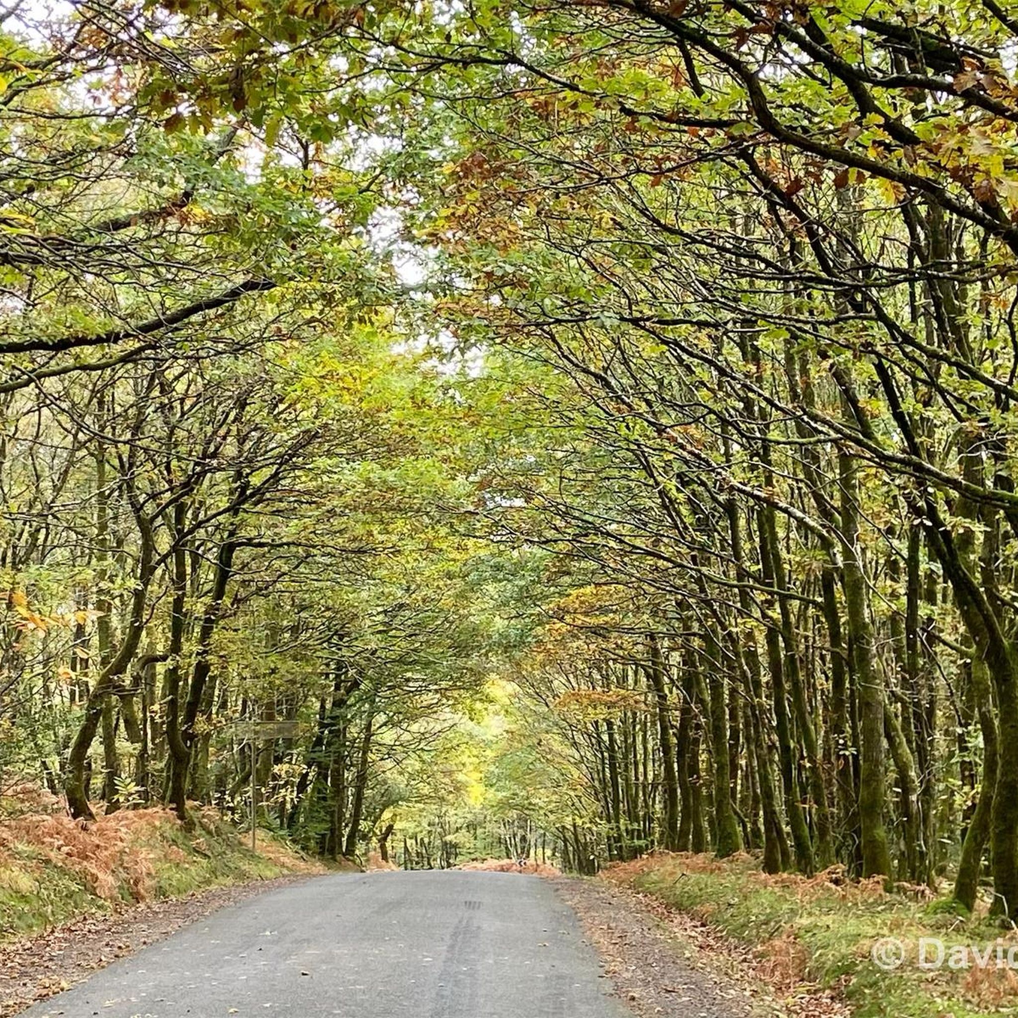
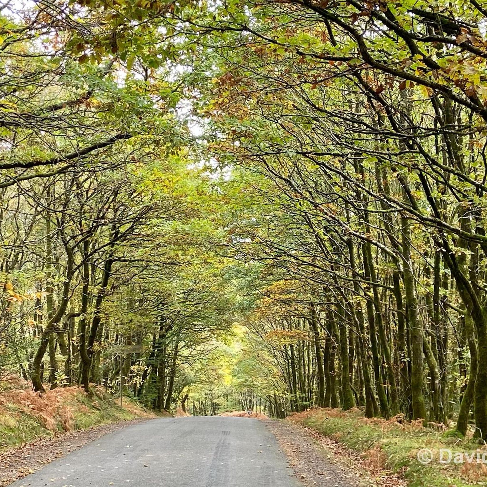
The Multonne forest is a forest which extends over two regions of France: Mayenne and Orne. This forest is part of the Normandy-Maine regional natural park and the Armorican Massif, a mountain range dating from the Paleozoic era. You can enjoy the panorama from Mont des Avaloirs, the highest point in the forest and in the west of France, at an altitude of 416 meters1. The forest is also home to many species of birds and plants, some of which are protected by the Natura 2000 network. The Multonne Forest is a privileged place to discover the natural and cultural heritage of France.
2
0

From its height of 416 meters, Mont des Avaloirs is the highest point of the Armorican Massif. At the top there is a belvedere which offers a 360 degree panorama.
2
0

Pré-en-Pail is a charming village in the Mayenne. Nestled in the heart of beautiful green countryside, it offers a peaceful and welcoming atmosphere. With its traditional stone houses and picturesque church, Pré-en-Pail exudes authenticity. Here you pedal between preserved nature and gentle tranquility.
0
0

Alencon is an excellent place to drive on the former railway line. You can also continue along the path towards la Mele-sur-Sarthe. The track is absolutely flat, with firm gravel and plenty of shade. Ideal when the sun burns down from above in summer.
2
0
Frequently Asked Questions
How many running routes are available around Lalacelle?
There are over 70 running routes around Lalacelle, offering a wide variety of options for all skill levels. These routes traverse the diverse landscapes of the Orne department within the Normandy region.
Are there easy jogging routes suitable for beginners in Lalacelle?
Yes, Lalacelle offers several easy jogging routes. There are 4 routes specifically rated as easy, perfect for those new to running or looking for a relaxed pace. These often follow quiet rural paths or less challenging sections of the local forests.
What kind of terrain can I expect on the running trails near Lalacelle?
The terrain around Lalacelle is quite varied, ranging from quiet rural paths and agricultural tracks to extensive wooded trails within the Regional Nature Park Normandy-Maine. You'll also encounter elevations, including areas around Mont des Avaloirs, offering more challenging ascents and descents.
Are there any circular running routes in the Lalacelle area?
Yes, many of the running routes around Lalacelle are circular, allowing you to start and finish at the same point. For example, the Forêt de Multonne loop from Champfrémont is a moderate 8 km circular path that takes you through the dense forest.
Can I find running routes with scenic views around Lalacelle?
Absolutely! The region is known for its picturesque landscapes. Routes around Mont des Avaloirs, the highest point in western France, offer stunning panoramic vistas. The Avaloirs Viewpoint – Mont des Avaloirs viewpoint loop from Réserve naturelle du mont des Avaloirs is a great option for scenic running.
Are there any attractions or landmarks I can see along the jogging routes?
Yes, several routes pass by interesting landmarks. For instance, you might encounter the Mont des Avaloirs viewpoint. The charming village of Saint-Cénéri-le-Gérei, one of France's 'Most Beautiful Villages', is also nearby and could be incorporated into a longer run.
What do other runners enjoy most about jogging in Lalacelle?
The running routes in Lalacelle are highly rated by the komoot community, with an average score of 4.5 stars from over 10 reviews. Runners often praise the immersive experience of running through extensive forests like Forêt d'Écouves and Forêt de Perseigne, as well as the varied terrain that caters to different fitness levels.
Are there any longer or more challenging running trails for experienced runners?
Yes, for experienced runners seeking a challenge, Lalacelle offers several difficult routes. The Forêt de Multonne loop from Lalacelle is a demanding 26.3 km path with significant elevation changes, providing a long and immersive forest running experience.
Is it possible to find running routes that are suitable for families?
While specific 'family-friendly' ratings aren't always available, routes marked as 'easy' or 'moderate' with shorter distances and less elevation gain are generally suitable for families. Look for paths through the forests or quiet rural roads for a pleasant family outing.
What is the best time of year to go jogging in Lalacelle?
The region's extensive forests provide shade, making spring and autumn particularly pleasant for jogging. The cooler temperatures and vibrant foliage (or blossoms) enhance the experience. Summer mornings or evenings are also ideal to avoid the midday heat, while winter can offer crisp, quiet runs, especially on well-maintained paths.
Are there running routes that go through the Forêt de Multonne?
Yes, the Forêt de Multonne is a prominent feature in the area and offers excellent running opportunities. The Forêt de Multonne loop from Lalacelle is a popular, challenging route that takes you deep into this dense forest, providing a true trail running experience.
Are there any running routes that start directly from Lalacelle village?
Yes, several routes are designed to start directly from Lalacelle. For example, the Pré-en-Pail loop from Lalacelle is a 15.8 km trail that begins in the village, offering a challenging experience with over 100 meters of elevation gain.
Most popular attractions around Lalacelle

Get inspired with the komoot mobile app


Explore more
Browse the best Running Trails & Routes in other regions.
