The best walks and hikes around Lalacelle
4.6
(155)
710
hikers
53
hikes
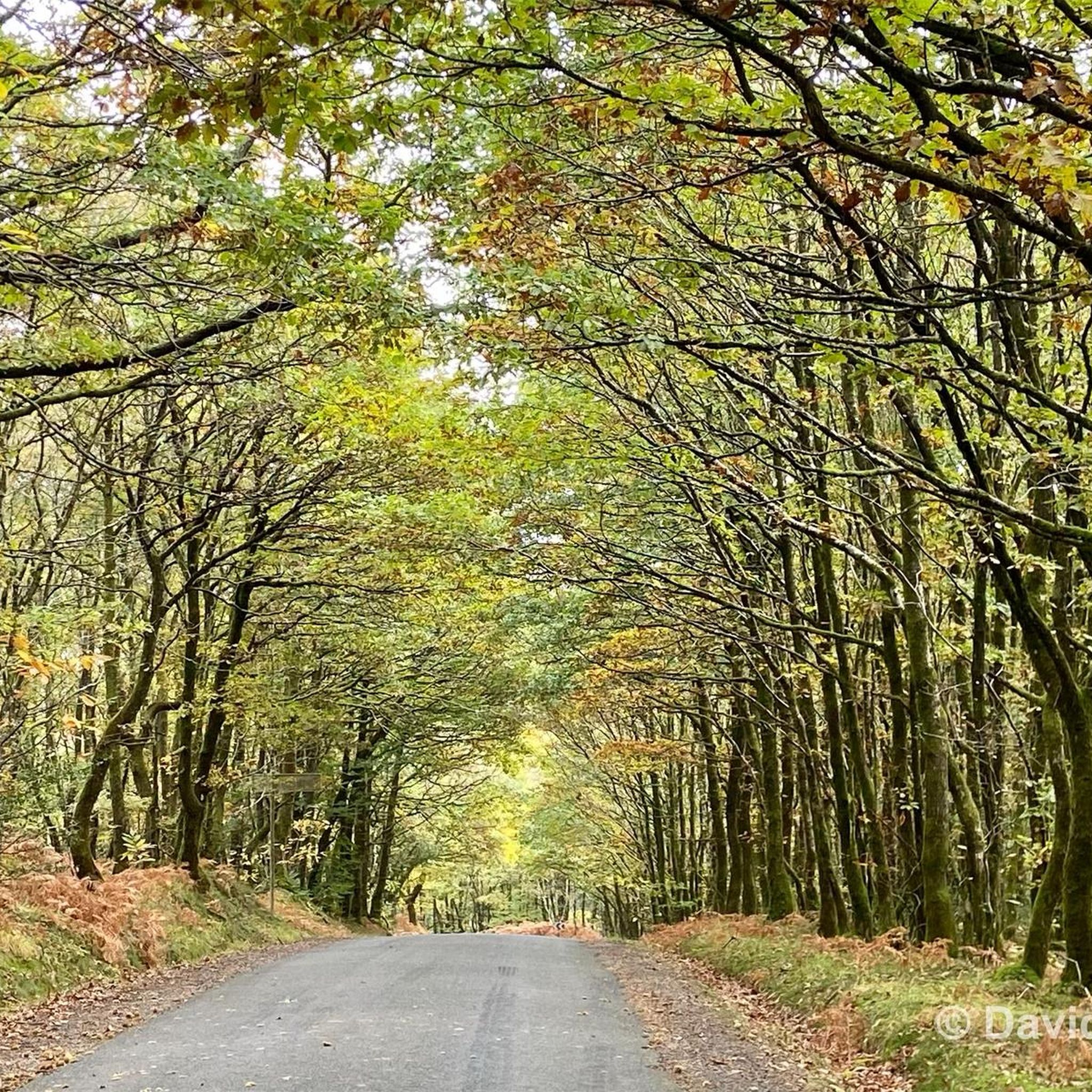
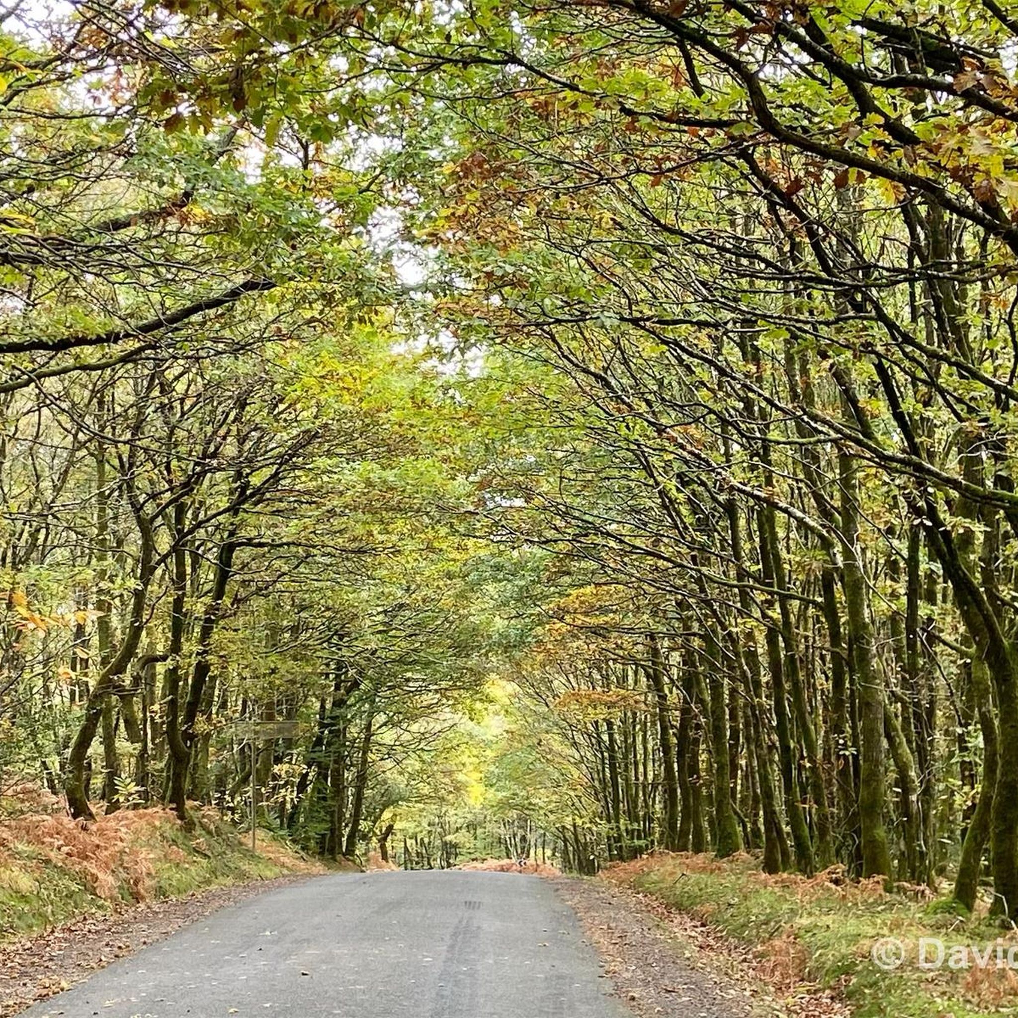
Hiking around Lalacelle offers diverse terrain within the Normandy-Maine Regional Natural Park, characterized by rolling hills and dense forests. The landscape features significant woodlands like the Andaines and Écouves forests, alongside varied natural elements such as heathland and wetlands. Mont des Avaloirs, the highest point in western France at 416 meters, provides panoramic views and is a central feature for many routes. The region also includes the rugged Alpes Mancelles with its dramatic river gorges.
Best hiking trails around Lalacelle
…Last updated: June 25, 2026
4.7
(6)
46
hikers
Moderate hike. Good fitness required. Easily-accessible paths. Suitable for all skill levels.
4.8
(8)
57
hikers
9.98km
02:47
190m
190m
Moderate hike. Good fitness required. Easily-accessible paths. Suitable for all skill levels.

Sign up for free
4.7
(6)
51
hikers
Moderate hike. Good fitness required. Easily-accessible paths. Suitable for all skill levels.
4.7
(3)
30
hikers
9.90km
02:46
190m
190m
Moderate hike. Good fitness required. Easily-accessible paths. Suitable for all skill levels.
5.0
(6)
20
hikers
6.98km
01:59
160m
160m
Easy hike. Great for any fitness level. Easily-accessible paths. Suitable for all skill levels.
Get access to more routes and recommendations from other explorers.
Sign up for free
Already have an account?
Our route recommendations are based on thousands of hikes, rides, and runs completed by other people on komoot.
Start today with a free account
Your next adventure awaits.
Login or Signup



Tips from the Community

Riding up there by bike was quite strenuous, but the view from the top was worth the effort. It was well worth it.
0
0

Beautiful 360 degree view
1
0

Located in Mayenne, Mont des Avaloirs is the highest point of the Armorican massif. It is part of the Normandy-Maine Regional Natural Park and enjoys the status of a Global Geopark. The belvedere, built in 1994 and covered with a magnificent colorful fresco, painted in 2019 by the Franco-British artist Seb Toussaint. It offers a 360° view of all the surrounding forests and peaks.
0
0

From its height of 416 meters, Mont des Avaloirs is the highest point of the Armorican Massif. At the top there is a belvedere which offers a 360 degree panorama.
2
0

Highest point of the Armorican massif
1
0

Ideal starting point for beautiful walks in the Multonne forest or for a picnic in a rural setting. Tables available, natural spring nearby.
2
0
An isolated house in the forest of Multonne where young resistance fighters gathered during the war of 39-45. They formed the Maquis de Courtemiche.
3
0
The highest point in western France, 417 m! Beautiful panoramic view at the top of the Belvédère on the grove.
0
0
Frequently Asked Questions
How many hiking trails are available around Lalacelle?
Lalacelle offers a wide selection of hiking opportunities, with over 40 routes available. These range from easy strolls through woodlands to more challenging ascents, ensuring options for various fitness levels.
What kind of terrain can I expect on hikes near Lalacelle?
The terrain around Lalacelle, situated within the Normandy-Maine Regional Natural Park, is diverse. You'll encounter rolling hills, dense forests (like the Andaines and Écouves forests), heathland, peat bogs, and wetlands. The Alpes Mancelles region, known for its steep relief and dramatic river gorges, offers more rugged landscapes.
Are there any challenging hikes in the Lalacelle area?
While most routes are easy to moderate, there is at least one more challenging hike available. The rugged landscapes of the Alpes Mancelles within the Normandy-Maine Regional Natural Park provide opportunities for more adventurous hikes with significant elevation changes.
What natural features or viewpoints can I discover on hikes near Lalacelle?
Many hikes lead to stunning natural features. You can ascend to the Mont des Avaloirs viewpoint, the highest point in western France, offering panoramic views. The Corniche of Pail features unique heathland and the Egoutelles peat bog. You can also discover the source of the river Mayenne near Mont des Avaloirs at a spot called Pierre au Loup.
Are there any historical or cultural attractions to visit while hiking in Lalacelle?
Yes, the region offers several points of interest. You can visit Saint-Cénéri-le-Gérei, recognized as one of France's Most Beautiful Villages. Some routes, like the Mont des Avaloirs and the house of Maquis Courtemiche loop, incorporate historical sites. The Carrouges Castle is also nearby.
Are there family-friendly hiking options around Lalacelle?
Absolutely. There are 17 easy routes around Lalacelle, perfect for families. These trails typically lead through rolling hills and woodlands, offering pleasant walks without significant difficulty. An example is the Sainte-Anne de Champfrémont loop from Champfrémont, which is an easy 7 km trail.
Can I bring my dog on the hiking trails near Lalacelle?
Yes, dogs are generally welcome on the hiking trails within the Normandy-Maine Regional Natural Park. However, it is always recommended to keep them on a leash, especially in areas with wildlife or near livestock, to ensure their safety and respect for the natural environment.
Are there circular hiking routes available in Lalacelle?
Many of the trails around Lalacelle are designed as loops, allowing you to start and end at the same point. For instance, the Avaloirs Viewpoint – Wolf's Stone loop from Lalacelle is a moderate 10.3 km circular path exploring the area around the viewpoint and the source of the river Mayenne.
Are there any hikes that feature waterfalls near Lalacelle?
While not directly in Lalacelle, the broader regional park context includes the waterfalls of Mortain. These present an ideal hiking spot with a significant 20-meter drop and dense vegetation, offering a rewarding destination for a day trip.
What are the typical durations for hikes around Lalacelle?
Hikes around Lalacelle vary in length and duration. Shorter, easy routes like the Avaloirs Viewpoint – Mont des Avaloirs viewpoint loop can take around 1 hour 25 minutes to complete. Moderate trails, such as the Mont des Avaloirs and the house of Maquis Courtemiche loop, typically take about 4 hours.
Is parking available for hikers in Lalacelle?
Yes, parking is generally available at common trailheads and popular starting points for hikes around Lalacelle, particularly near significant attractions like Mont des Avaloirs or in villages such as Champfrémont. Look for designated parking areas to ensure convenient access to the trails.
What do other hikers say about the trails in Lalacelle?
The hiking trails in Lalacelle are highly rated by the komoot community, with an average score of 4.6 stars from nearly 200 reviews. Hikers frequently praise the varied terrain, the stunning panoramic views from Mont des Avaloirs, and the peaceful atmosphere of the dense forests.
Most popular routes around Lalacelle
Most popular attractions around Lalacelle

Get inspired with the komoot mobile app


Explore more
Browse the best Hikes in other regions.
