The best walks and hikes around Saint-Martin-Des-Landes
4.6
(57)
336
hikers
30
hikes
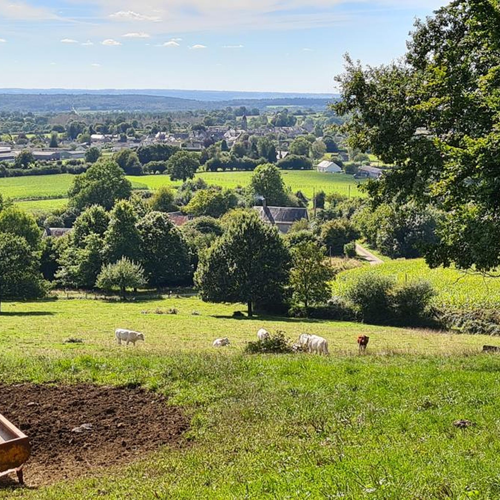
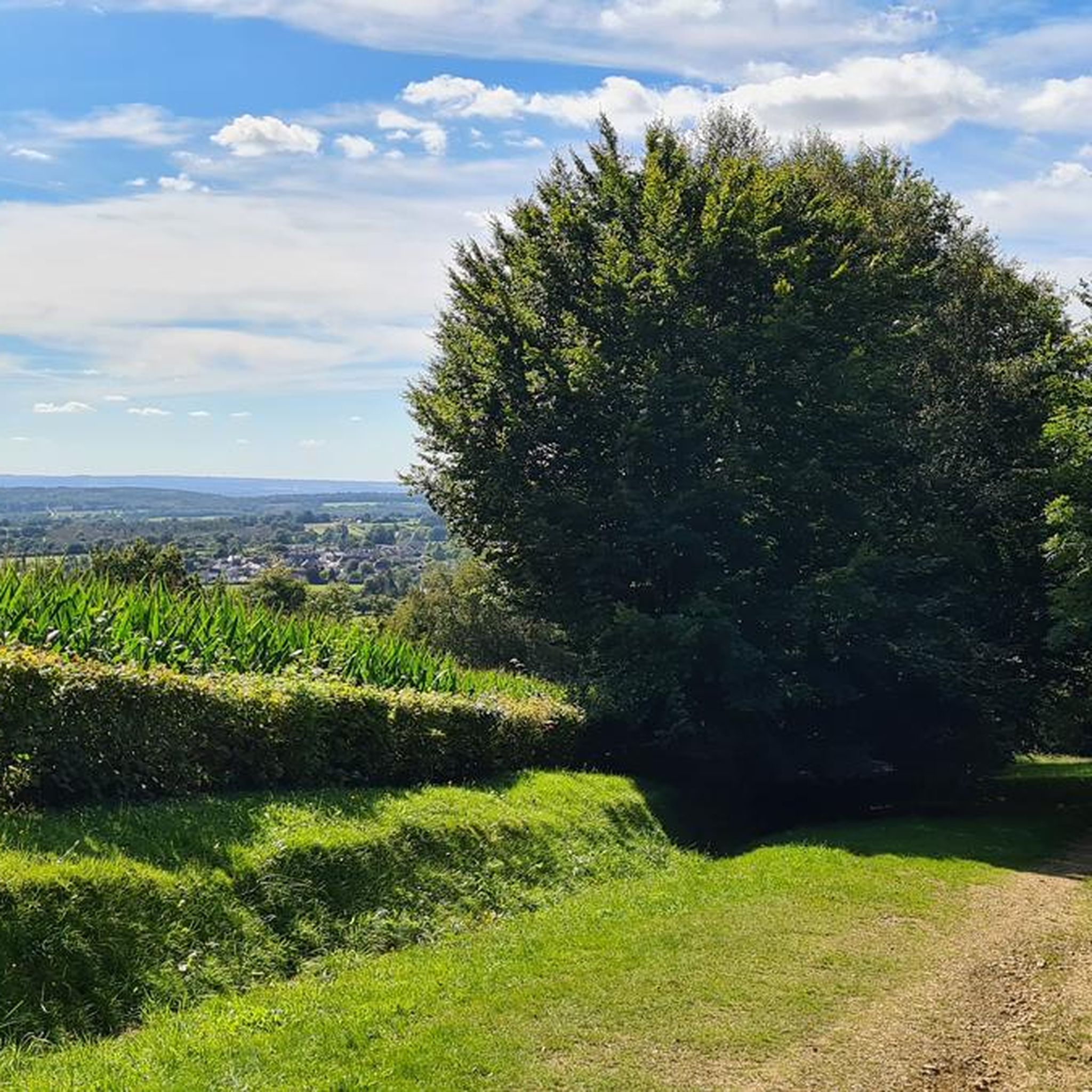
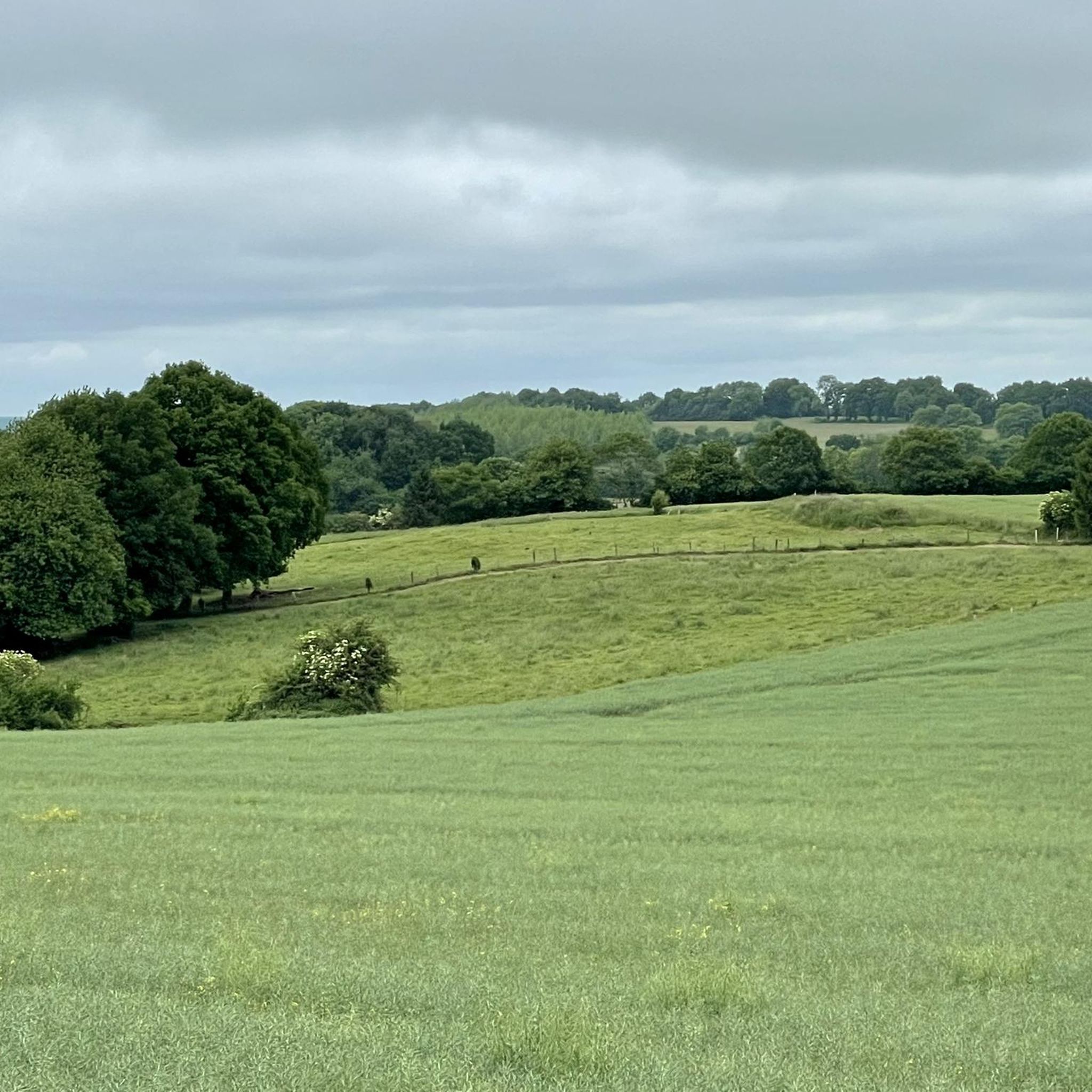
Hiking around Saint-Martin-Des-Landes offers access to a network of trails through varied landscapes. The region is characterized by its rural setting, featuring woodlands, open fields, and gentle hills. These routes provide opportunities to explore the natural environment and local points of interest.
Best hiking trails around Saint-Martin-Des-Landes
- The most popular hiking route is Le Champ-de-la-Pierre – La Raitière chapel loop from Le Champ-de-la-Pierre, a 3.1 miles (5.0 km) easy trail that takes 1 hour 21 minutes to complete, passing by a local chapel.
- Another top favourite among local hikers is Carrouges – Carrouges Castle loop from Carrouges, a moderate 7.8 miles (12.5 km) path. This route explores the surroundings of Carrouges, including its historic castle.
- Local hikers also love the CP5 - MAISON M&J BAKERY loop from Carrouges, a 3.8 miles (6.2 km) trail leading through rural landscapes, often completed in about 1 hour 41 minutes.
- Hiking around Saint-Martin-Des-Landes is defined by its woodlands, agricultural fields, and gentle hills. The network offers options for various ability levels, from easy strolls to more moderate excursions.
- The routes in Saint-Martin-Des-Landes are highly rated by the komoot community with an average score of 4.6 stars from around 50 reviews. More than 250 hikers have used komoot to explore Saint-Martin-Des-Landes's varied terrain.
Last updated: July 8, 2026
4.8
(8)
57
hikers
9.98km
02:47
190m
190m
Moderate hike. Good fitness required. Easily-accessible paths. Suitable for all skill levels.
4.7
(3)
30
hikers
9.90km
02:46
190m
190m
Moderate hike. Good fitness required. Easily-accessible paths. Suitable for all skill levels.

Sign up for free
4.0
(4)
13
hikers
6.13km
01:37
60m
60m
Easy hike. Great for any fitness level. Easily-accessible paths. Suitable for all skill levels.
4.5
(2)
4
hikers
12.5km
03:23
170m
170m
Moderate hike. Good fitness required. Easily-accessible paths. Suitable for all skill levels.
4.5
(4)
9
hikers
6.35km
01:44
90m
90m
Easy hike. Great for any fitness level. Easily-accessible paths. Suitable for all skill levels.
Get access to more routes and recommendations from other explorers.
Sign up for free
Already have an account?
Our route recommendations are based on thousands of hikes, rides, and runs completed by other people on komoot.
Start today with a free account
Your next adventure awaits.
Login or Signup


Tips from the Community

Riding up there by bike was quite strenuous, but the view from the top was worth the effort. It was well worth it.
0
0

Very beautiful castle. The outside area is very interesting and a nice walk. Unfortunately I didn't see the inside of the castle. The bicycle parking area is behind the archway on the inside on the right.
0
0

Beautiful 360 degree view
1
0

Located in Mayenne, Mont des Avaloirs is the highest point of the Armorican massif. It is part of the Normandy-Maine Regional Natural Park and enjoys the status of a Global Geopark. The belvedere, built in 1994 and covered with a magnificent colorful fresco, painted in 2019 by the Franco-British artist Seb Toussaint. It offers a 360° view of all the surrounding forests and peaks.
0
0

From its height of 416 meters, Mont des Avaloirs is the highest point of the Armorican Massif. At the top there is a belvedere which offers a 360 degree panorama.
2
0

The castle is one of the largest in Normandy. It has been a listed building since 1927. From the free car park, a gravel path leads first to a gatehouse, then to the square castle, which is as defensive as it is representative and stands next to the small castle garden and a pasture. Beyond the castle stretches the beech and oak forest of the Forêt d’Ecouves, which is part of the Normandy-Maine Regional Nature Park. Inside, the Château de Carrouges invites you to travel through three centuries. The dining room with its marble fireplace and the bishops’ room with its wood-paneled prayer chamber are particularly beautiful.
1
0

A very beautiful castle in a historic city.
0
0

Carrouges Castle was built at the end of the 14th century to serve as a stately residence. Over the centuries, the castle has been remodeled and is now managed by the National Monuments Center which restored it. It is possible to visit the castle and its park on a self-guided tour or guided tour.
1
0
Frequently Asked Questions
How many hiking trails are available around Saint-Martin-Des-Landes?
There are over 30 hiking routes in the Saint-Martin-Des-Landes area, offering a variety of options for different skill levels and preferences. You'll find 13 easy routes, 17 moderate routes, and 1 difficult route.
What kind of terrain can I expect on hikes in Saint-Martin-Des-Landes?
The region is characterized by its rural setting, featuring a mix of woodlands, open agricultural fields, and gentle hills. The trails often follow quiet country lanes, forest paths, and riverside tracks, providing a peaceful outdoor experience.
What do other hikers say about the trails in Saint-Martin-Des-Landes?
The hiking routes in Saint-Martin-Des-Landes are highly rated by the komoot community, with an average score of 4.6 stars from nearly 50 reviews. Over 250 hikers have used komoot to explore the varied terrain, often praising the tranquil atmosphere and well-maintained paths.
Are there easy hiking options suitable for beginners in Saint-Martin-Des-Landes?
Yes, Saint-Martin-Des-Landes offers 13 easy hiking routes perfect for beginners or those looking for a relaxed stroll. An example is the Le Champ-de-la-Pierre – La Raitière chapel loop from Le Champ-de-la-Pierre, which is 3.1 miles (5.0 km) long and takes about 1 hour 21 minutes to complete.
What are the typical lengths of hiking trails in Saint-Martin-Des-Landes?
Hiking trails in Saint-Martin-Des-Landes vary in length. You can find shorter routes like the CP5 - MAISON M&J BAKERY loop from Carrouges at 3.8 miles (6.2 km), or longer, more moderate excursions such as the Carrouges – Carrouges Castle loop from Carrouges, which spans 7.8 miles (12.5 km).
Are there any circular hiking routes in Saint-Martin-Des-Landes?
Many of the hiking routes in Saint-Martin-Des-Landes are circular, allowing you to start and end at the same point. Examples include the Amazing view loop from Bellefontaine and the Étang de Cadin loop from Lignières-Orgères.
What interesting sights or landmarks can I discover while hiking in the area?
While hiking around Saint-Martin-Des-Landes, you can discover several historical and natural landmarks. Notable attractions include the historic Carrouges Castle, the serene Notre-Dame de Lourdes chapel, and the scenic Mont des Avaloirs viewpoint, offering panoramic views of the surrounding landscape.
Are the hiking trails in Saint-Martin-Des-Landes suitable for families with children?
Yes, many trails in Saint-Martin-Des-Landes are suitable for families, especially the 13 easy routes. These often feature gentle gradients and pass through pleasant woodlands and fields, providing a safe and enjoyable environment for children to explore.
Can I bring my dog on the hiking trails in Saint-Martin-Des-Landes?
Generally, dogs are welcome on hiking trails in the Saint-Martin-Des-Landes area, provided they are kept on a leash, especially when passing through agricultural land or near livestock. Always be mindful of local regulations and other hikers.
What is the best time of year to go hiking in Saint-Martin-Des-Landes?
The best time for hiking in Saint-Martin-Des-Landes is typically from spring to autumn (April to October). During these months, the weather is generally mild and pleasant, with blooming wildflowers in spring and vibrant foliage in autumn. Summer offers longer daylight hours, though it can be warmer.
Are there any trails that offer particularly good views or scenic spots?
For scenic views, consider routes that lead to higher ground or open areas. The Amazing view loop from Bellefontaine is specifically named for its vistas. Additionally, the Mont des Avaloirs viewpoint is a prominent natural highlight in the wider region, offering extensive panoramic views.
Is parking available at the trailheads in Saint-Martin-Des-Landes?
Parking is generally available near the starting points of many trails, especially in or near villages like Carrouges or Le Champ-de-la-Pierre. These are often small village car parks or designated roadside spots. It's always advisable to check the specific route details on komoot for precise parking information.
Most popular routes around Saint-Martin-Des-Landes
Most popular attractions around Saint-Martin-Des-Landes

Get inspired with the komoot mobile app


Explore more
Browse the best Hikes in other regions.
