The best running trails around Betzdorf
4.5
(98)
299
runners
26
runs
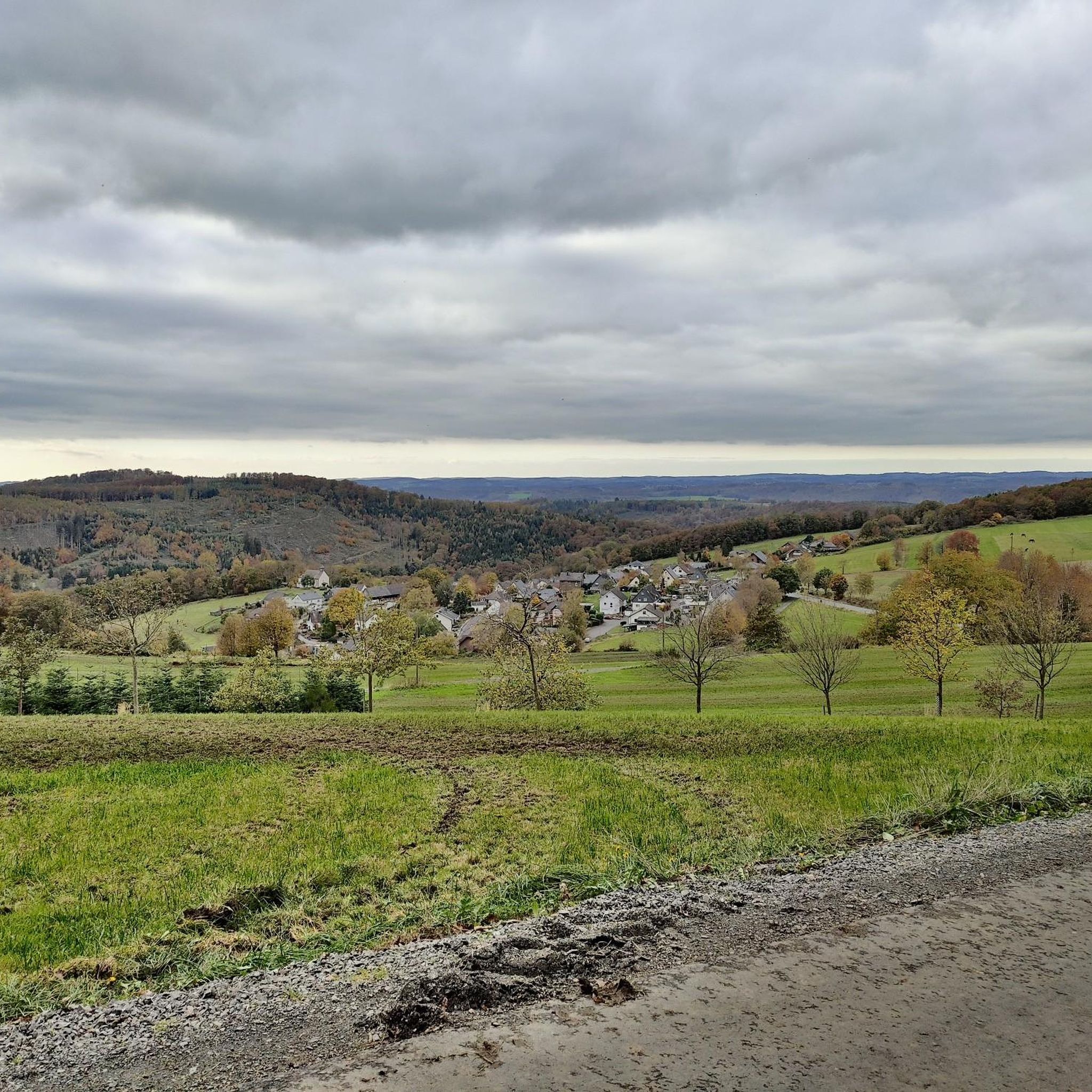
Jogging routes around Betzdorf offer diverse landscapes, characterized by extensive forests, lush meadows, and river valleys shaped by the Sieg and Nister rivers. The region is situated in a valley basin between the low mountain ranges of Westerwald and Siegerland, providing varied terrain. Elevations range from 172 to 429 meters above sea level, offering options from gentle hills to more challenging routes with significant elevation changes. This area provides an excellent setting for outdoor enthusiasts.
Best jogging routes around Betzdorf
…Last updated: October 8, 2026
78
runners
15.8km
01:39
100m
100m
Hard run. Very good fitness required. Mostly paved surfaces. Suitable for all skill levels.
4.9
(14)
21
runners
Easy run. Great for any fitness level. Mostly paved surfaces. Suitable for all skill levels.

8
runners
8.30km
00:53
80m
80m
Moderate run. Good fitness required. Mostly paved surfaces. Suitable for all skill levels.
4.6
(5)
16
runners
Moderate run. Good fitness required. Mostly paved surfaces. Suitable for all skill levels.
5.0
(3)
14
runners
9.65km
01:04
190m
190m
Moderate run. Good fitness required. Mostly paved surfaces. Suitable for all skill levels.
Get access to more routes and recommendations from other explorers.
Already have an account?
Our route recommendations are based on thousands of hikes, rides, and runs completed by other people on komoot.
Start today with a free account
Your next adventure awaits.


Tips from the Community

Very well-maintained and also a very nice resting place. 😉
0
0
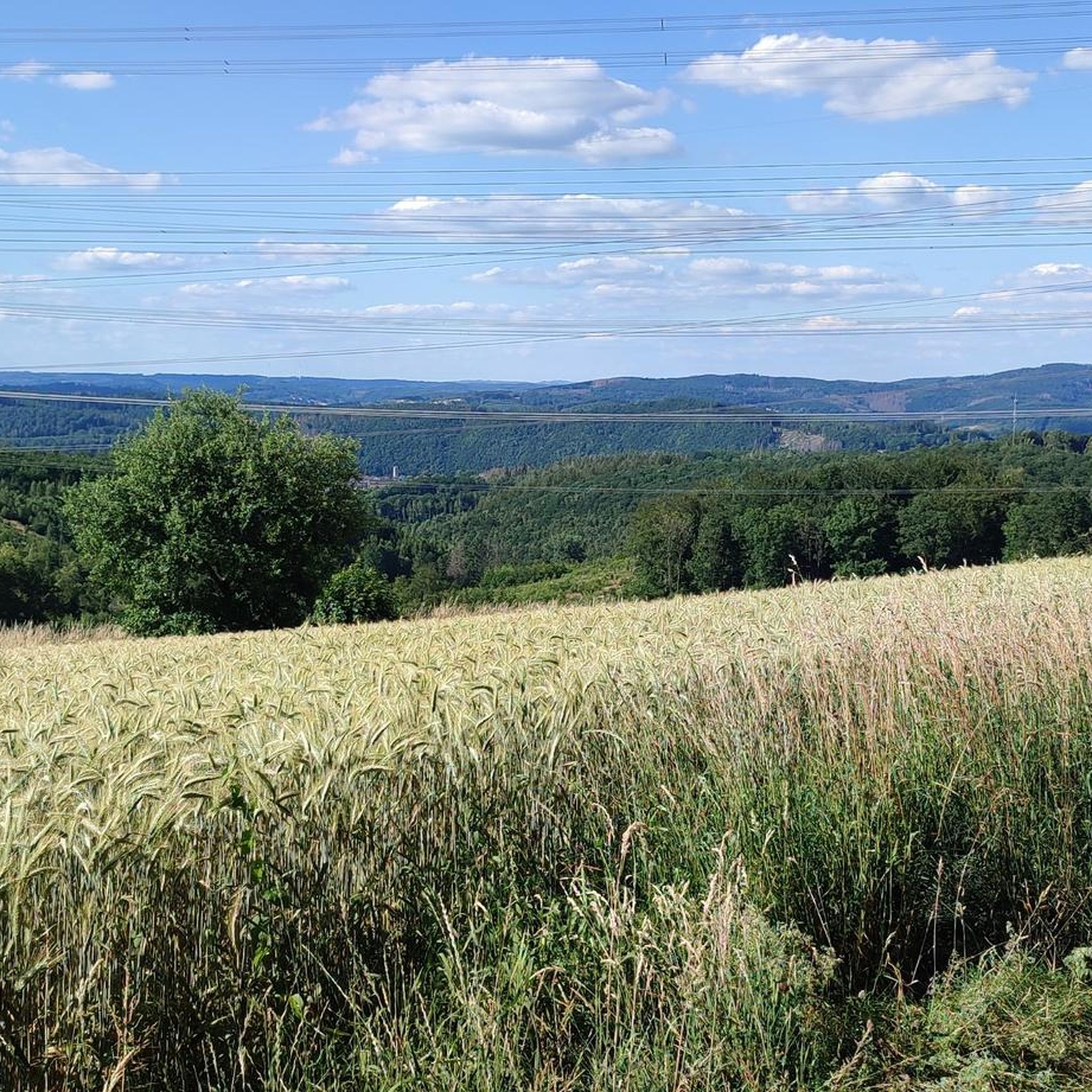
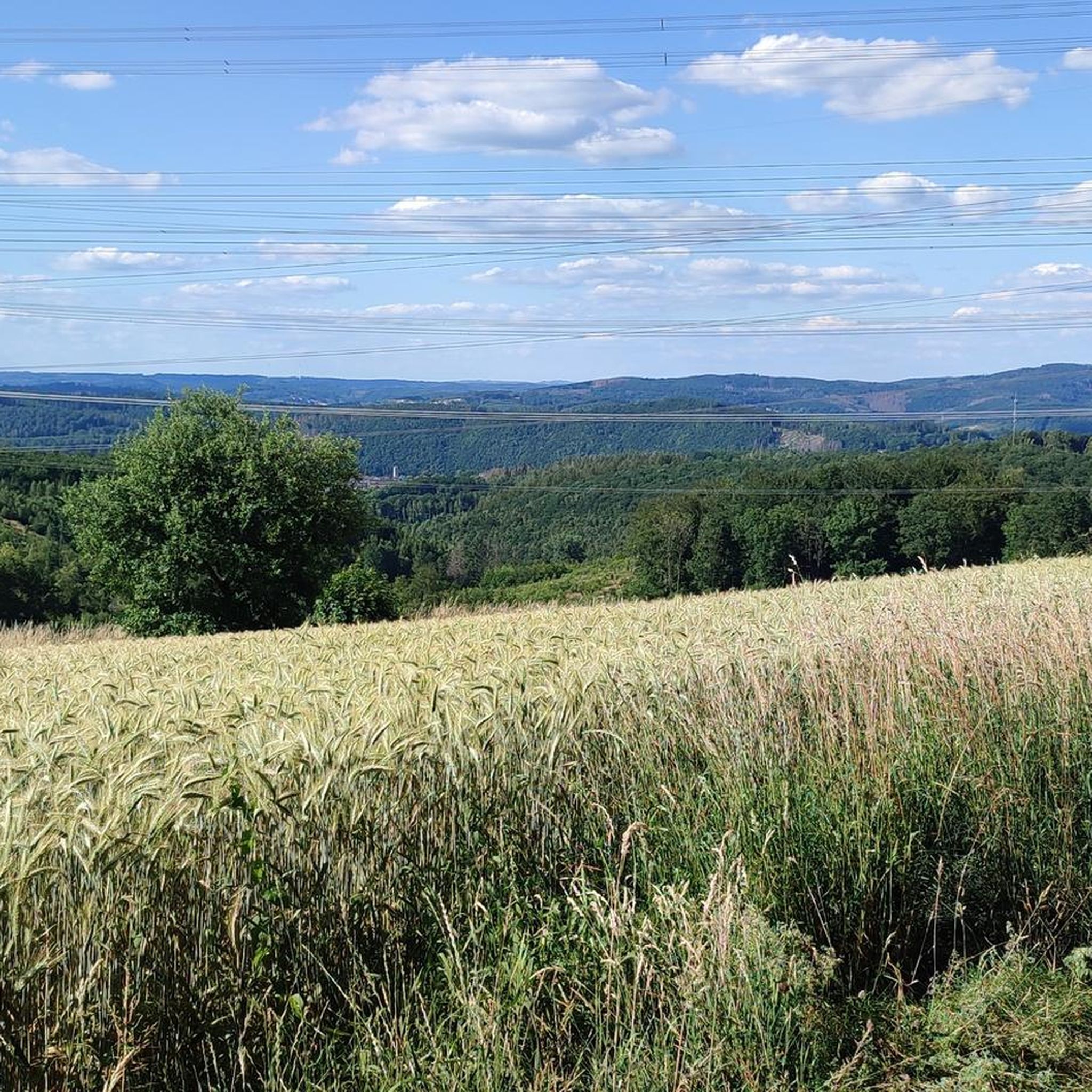
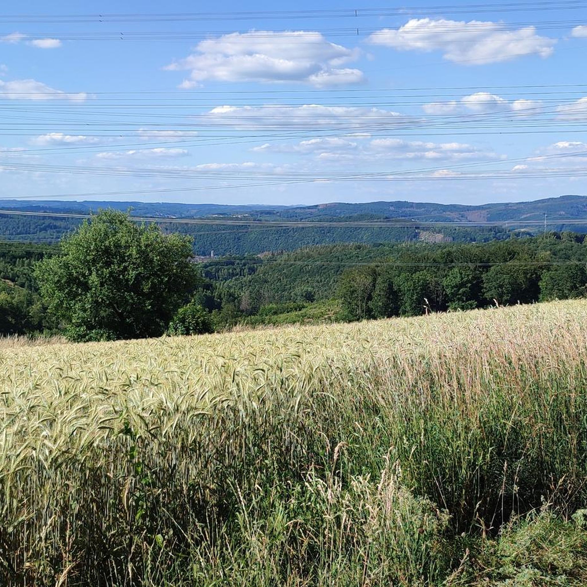
Great view 👀 absolutely recommended
0
0

... Numerous forest and hiking trails offer nature lovers and those seeking recreation the opportunity to explore the surroundings on foot or by mountain bike. Two regional hiking trails cross in Alsdorf. The Druidensteig, which begins at the Druidenstein above Kirchen and ends in Hachenburg, leads directly through Alsdorf. Coming from Steineroth, hikers are guided past the Hüttenschulzehaus and the Bürgerhaus over the Alsberg in the direction of Betzdorf. The Natursteig-Sieg also leads from the Steineroth Valley to Alsdorf, past the Hüttenschulzehaus through the "Au" with a refreshment stop at the Gasthof Hellertal, past the Catholic church and the cemetery over "Die Burg" into the Imhäusertal and from there to Herkersdorf. https://www.vg-bg.de/buergernah/gemeinden/ortsgemeinde-alsdorf/
0
0

What? Through here? Yes, exactly. This narrow tunnel is easily navigable.
0
0

Great view of the Sieg too, of course.
0
0
4 great railway reliefs in bronze incorporated into the pavement of the pedestrian zone.
0
0
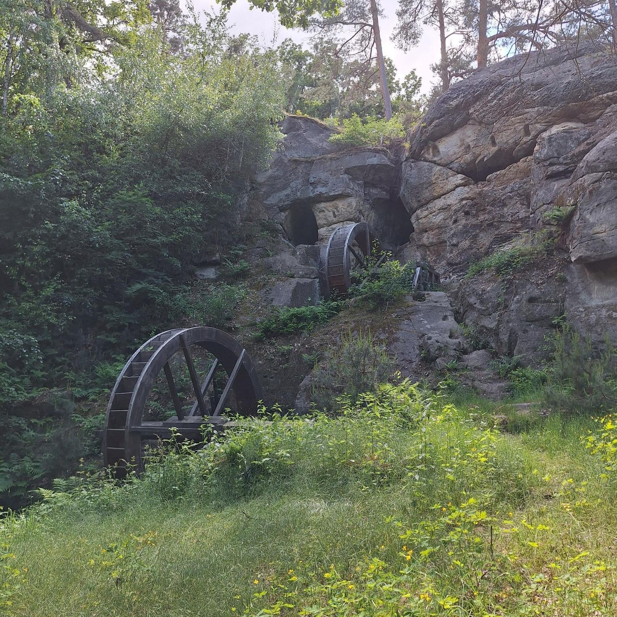
Great relics from the mining era.
0
0
Rededicated to the Asdorftal Cycle Path. Top
0
0
Frequently Asked Questions
How many running routes are available in Betzdorf?
Betzdorf offers a good selection of running routes, with over 25 trails available for you to explore. These routes cater to various preferences, from moderate paths to more challenging runs through the region's diverse landscapes.
What kind of terrain can I expect on jogging trails around Betzdorf?
The jogging trails around Betzdorf feature a diverse landscape, characterized by extensive forests, lush meadows, and scenic river valleys. You'll find varied terrains, from tranquil lakeside paths around places like the Alsdorfer Weiher to more challenging routes with elevation changes through the Westerwald mountains. Many paths follow rivers like the Sieg, offering refreshing environments.
Are there running routes for all fitness levels in Betzdorf?
Yes, Betzdorf provides running routes for various fitness levels. While there are no routes specifically classified as 'easy' in our current selection, you'll find 21 moderate trails and 4 difficult routes. This means there are plenty of options for those looking for a good workout or a more demanding run.
What do other runners say about the trails in Betzdorf?
The running trails in Betzdorf are highly regarded by the komoot community, boasting an average rating of 4.5 stars from over 60 reviews. More than 260 runners have used komoot to explore the varied terrain, often praising the scenic beauty and diverse challenges the region offers.
Are there any circular running routes in Betzdorf?
Yes, many of the running routes in Betzdorf are circular, allowing you to start and finish at the same point. For example, the Marian altar near Dauersberg – Almpädchen Section 3 loop from Betzdorf (Sieg) is a popular moderate circular path. The region also features the longer 40.5 km 'Betzder Panorama-Tour – Ären Trail duerch d'Gemeng Betzder' which leads to elevated points with superb views.
Are there any specific landmarks or points of interest along the running routes?
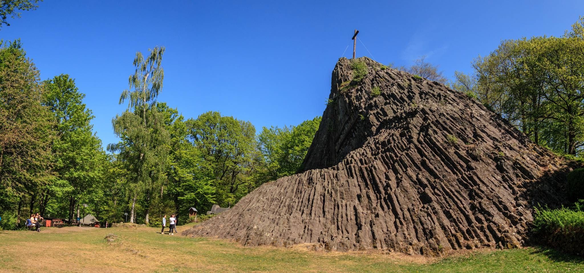
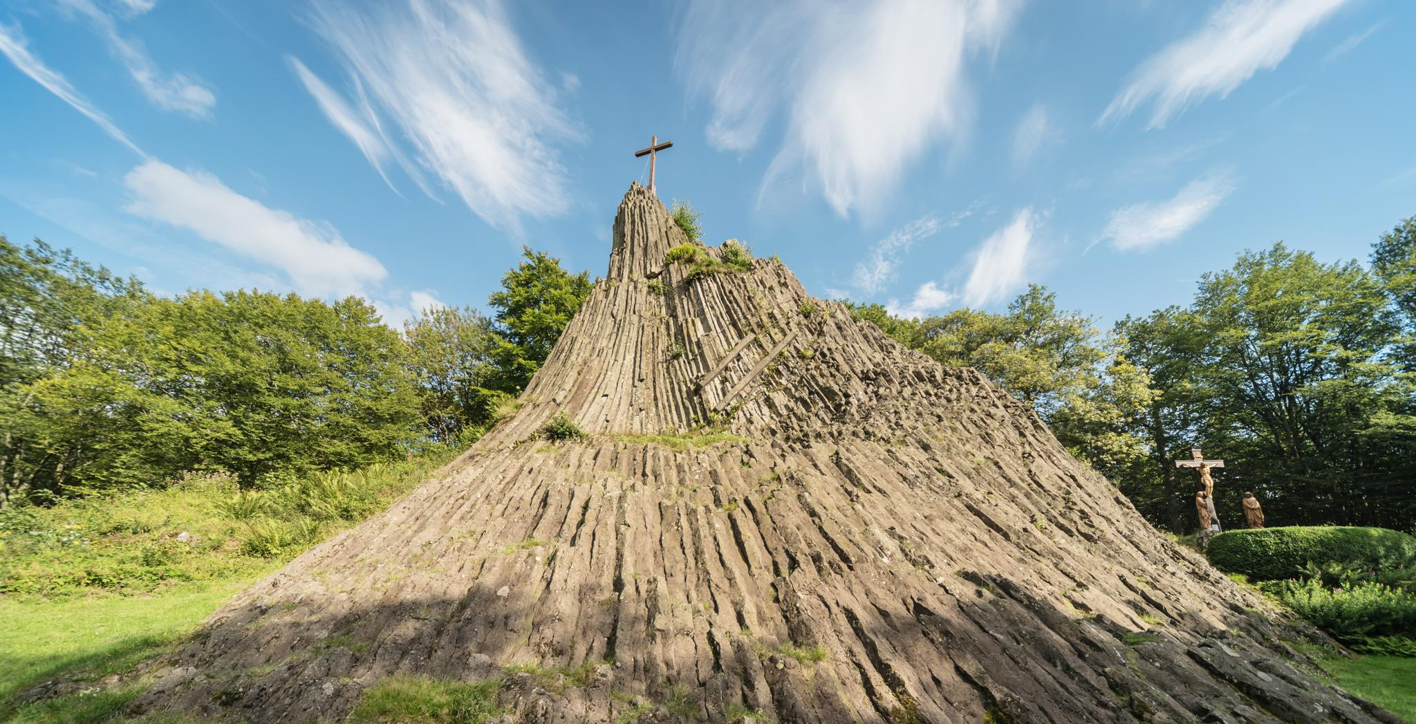
Absolutely! Many routes pass by interesting landmarks. You could encounter the striking Druid's Stone, a natural basalt cone, or the tranquil Elkenrother Weiher. Other notable spots include the Forest restaurant at Hohenseelbachskopf, offering a place to rest, or the unique Assberg slate mine.
Are there any dedicated jogging or fitness paths in Betzdorf?
Yes, Betzdorf features a dedicated 'Jogging- und Fitnesspfad' located in the Rieder Bësch forest. This path includes 18 stations where you can perform various exercises, allowing for a structured workout routine alongside your run.
Can I find routes with significant elevation for a challenging run?
For those seeking a challenge, Betzdorf offers routes with significant elevation changes. The Eiscafé Anglavi – Wehbach Cycle Path loop from Betzdorf is a difficult 28.4 km trail with over 400 meters of ascent. The Hellerhöhenweg, connecting Betzdorf with Haiger, also features substantial elevation gains and impressive views, making it suitable for experienced runners.
Are there any running trails that follow rivers or offer waterside views?
Yes, the region is known for its river valleys. The Siegtal Trail, for instance, follows the scenic River Sieg through lush forests and meadows, providing a refreshing environment for running. Additionally, the Alsdorfer Weiher offers peaceful lakeside paths ideal for a leisurely run.
What are some popular longer running routes in the Betzdorf area?
For longer runs, the Eiscafé Anglavi – Wehbach Cycle Path loop from Betzdorf is a popular choice, covering 28.4 km. The region also connects to sections of the Westerwaldsteig and the Druidensteig, which are extensive trails offering diverse natural landscapes and impressive panoramas for those looking for a truly long-distance experience.
Are there any routes suitable for a moderate run with varied scenery?
Certainly. The Eiscafé Anglavi loop from Alsberg is a moderate 9.2 km trail that leads through varied terrain with some elevation, typically completed in about an hour. It offers a good mix of forest paths and open views without being overly strenuous.
Can I find shorter running routes for a quick workout?
Yes, there are shorter options available for a quick run. The Eiscafé Anglavi loop from Betzdorf (Sieg) is a moderate 5.7 km trail, perfect for a shorter workout, usually taking just under 40 minutes to complete. The 'Trëppelpied' circular walks also offer shorter distances ranging from 2 to 10.5 km.
Most popular routes around Betzdorf
Most popular attractions around Betzdorf

Get inspired with the komoot mobile app


Explore more
Browse the best Running Trails & Routes in other regions.
