The best walks and hikes around Haut-Valromey
4.4
(598)
3,767
hikers
28
hikes
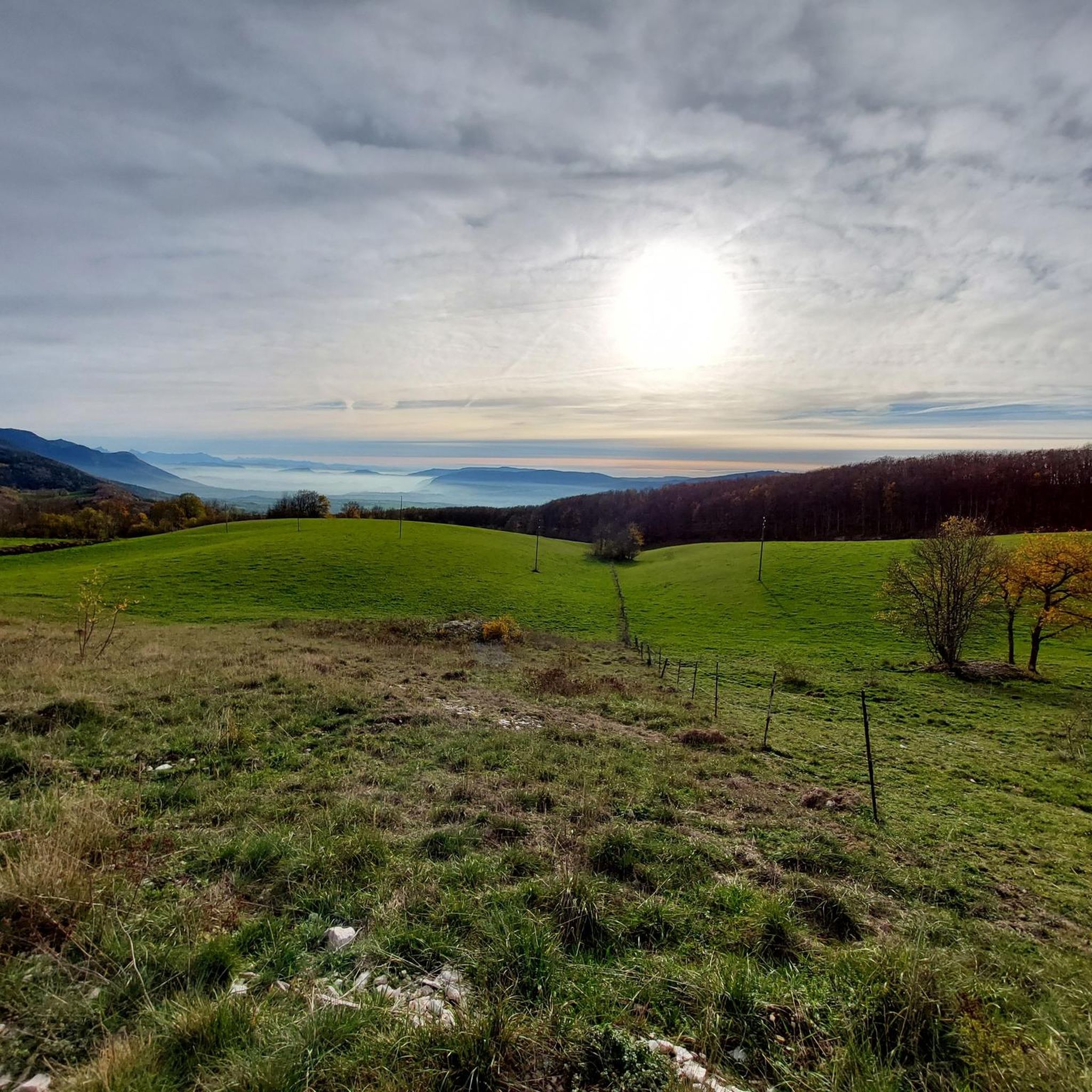
Hiking around Haut-Valromey offers a diverse landscape characterized by high plateaus, dense forests, and rolling hills within the Jura mountains. The region features varied terrain, including open meadows and elevated crests, providing panoramic views. These natural features create a network of trails suitable for different hiking experiences. The area is recognized for its unspoiled natural landscapes and green tourism opportunities.
Best hiking trails in Haut-Valromey
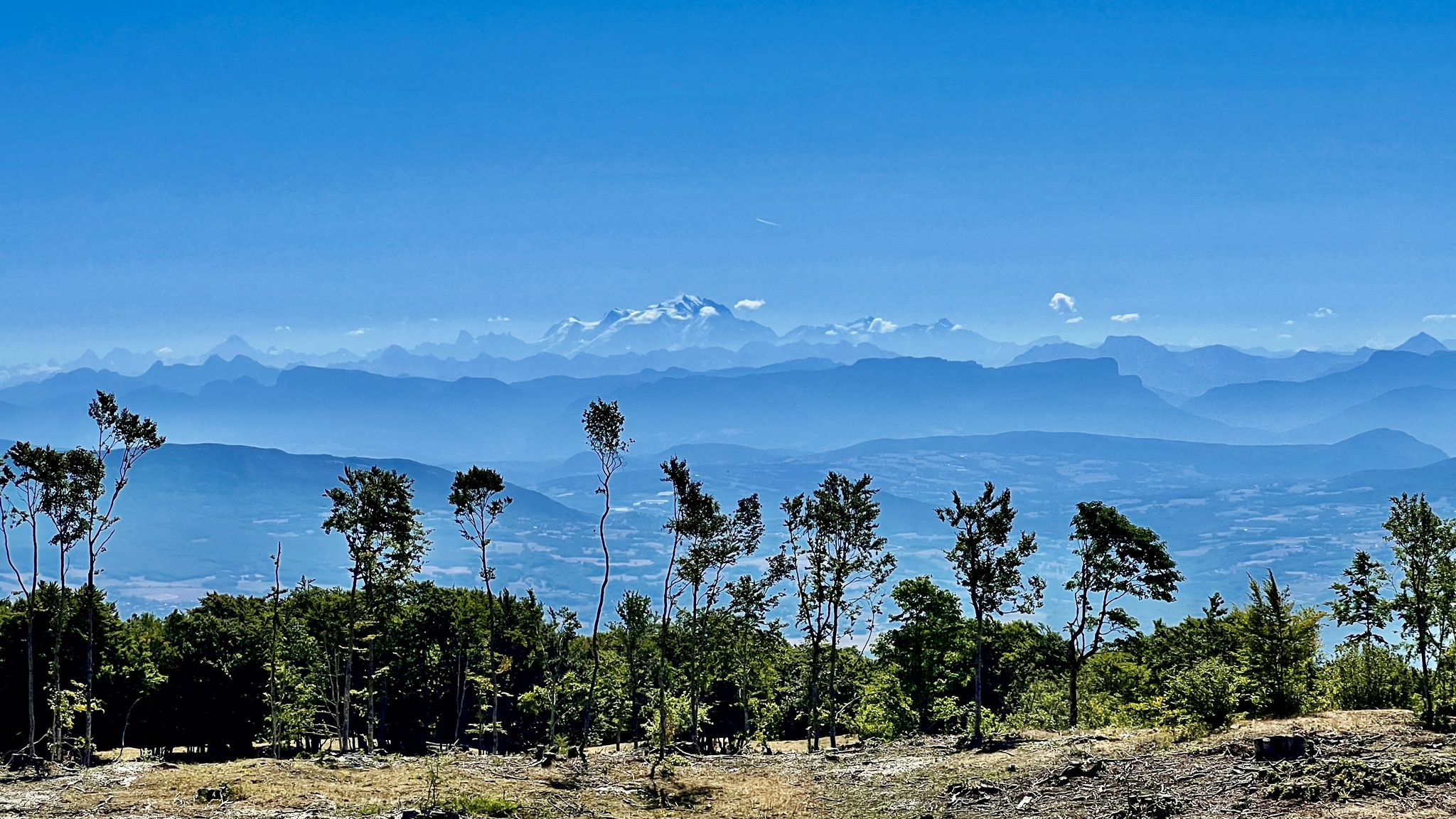
- The most popular hiking route is View of Mont Blanc – Plateau de Retord loop…
Last updated: October 14, 2026
4.5
(12)
162
hikers
10.9km
03:02
200m
200m
Moderate hike. Good fitness required. Easily-accessible paths. Suitable for all skill levels.
4.5
(6)
53
hikers
10.8km
03:07
260m
260m
Moderate hike. Good fitness required. Easily-accessible paths. Suitable for all skill levels.

5.0
(3)
32
hikers
6.83km
02:00
200m
200m
Easy hike. Great for any fitness level. Easily-accessible paths. Suitable for all skill levels.
3
hikers
29.4km
08:32
780m
780m
Hard hike. Very good fitness required. Easily-accessible paths. Suitable for all skill levels.
4.0
(3)
12
hikers
7.54km
02:13
220m
220m
Moderate hike. Good fitness required. Easily-accessible paths. Suitable for all skill levels.
Get access to more routes and recommendations from other explorers.
Already have an account?
Our route recommendations are based on thousands of hikes, rides, and runs completed by other people on komoot.
Start today with a free account
Your next adventure awaits.
Popular around Haut-Valromey
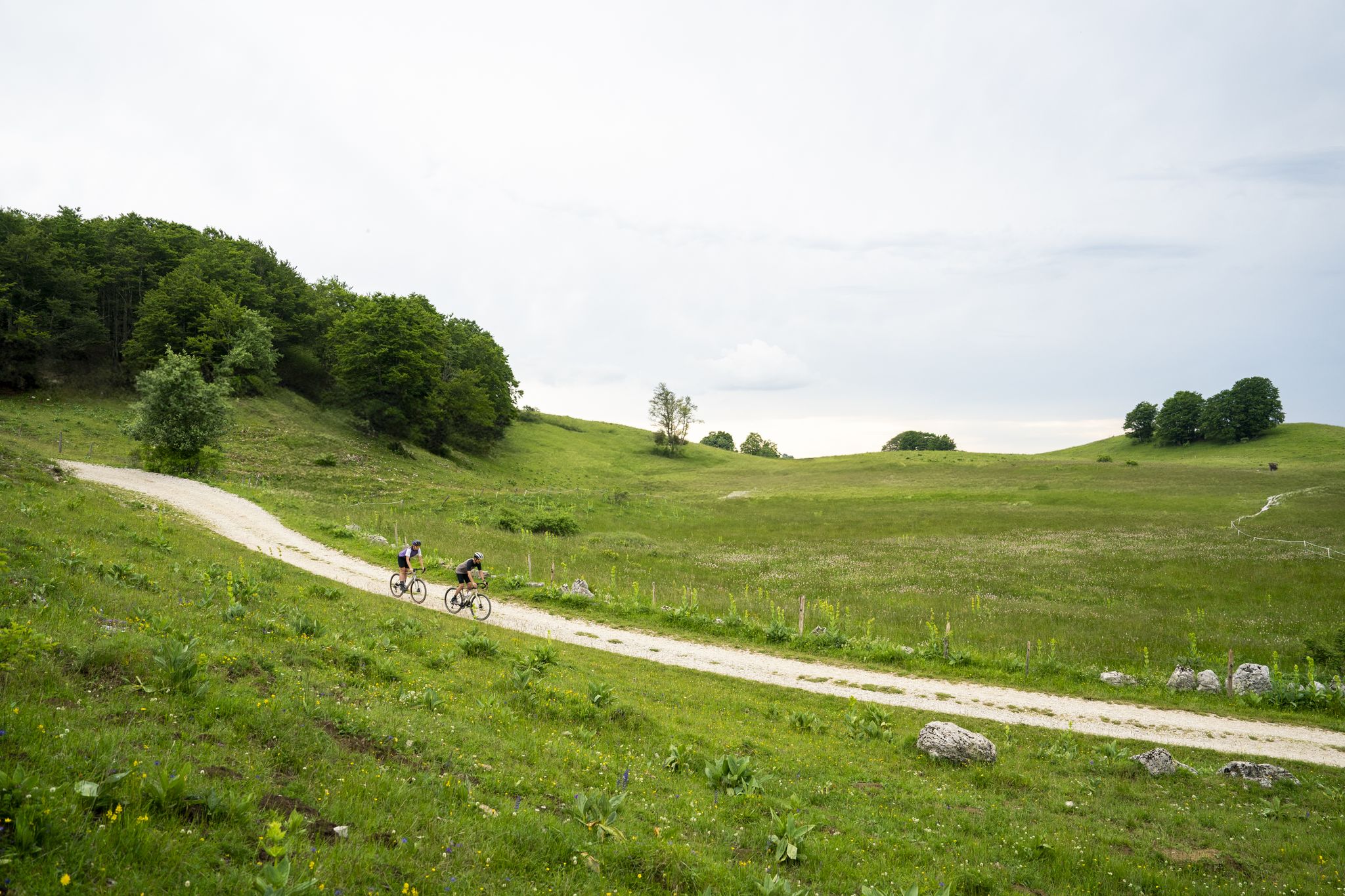
Gravel in Ain — sporty loops between water and mountain
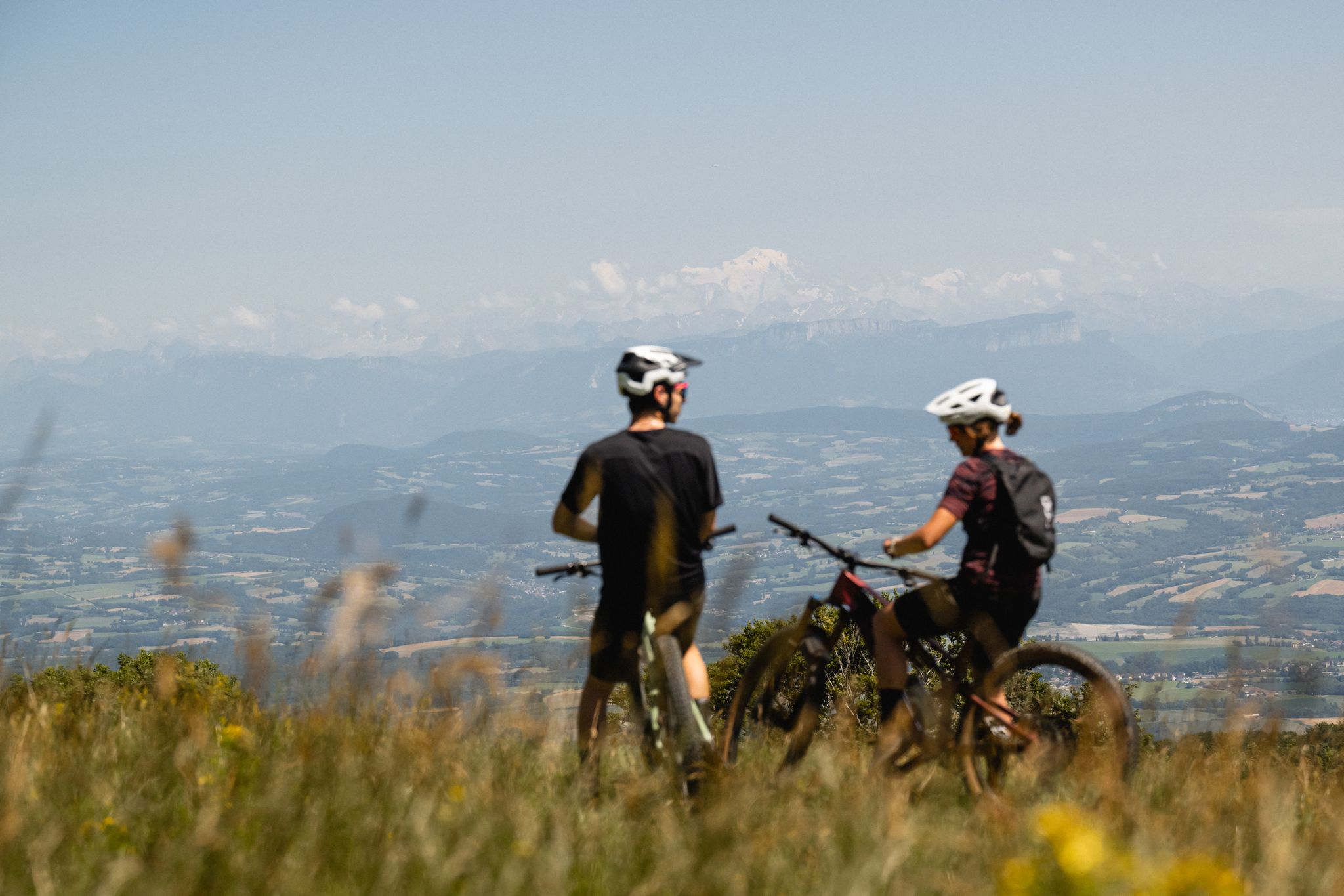
Gems of the Ain — MTB routes amidst natural beauty
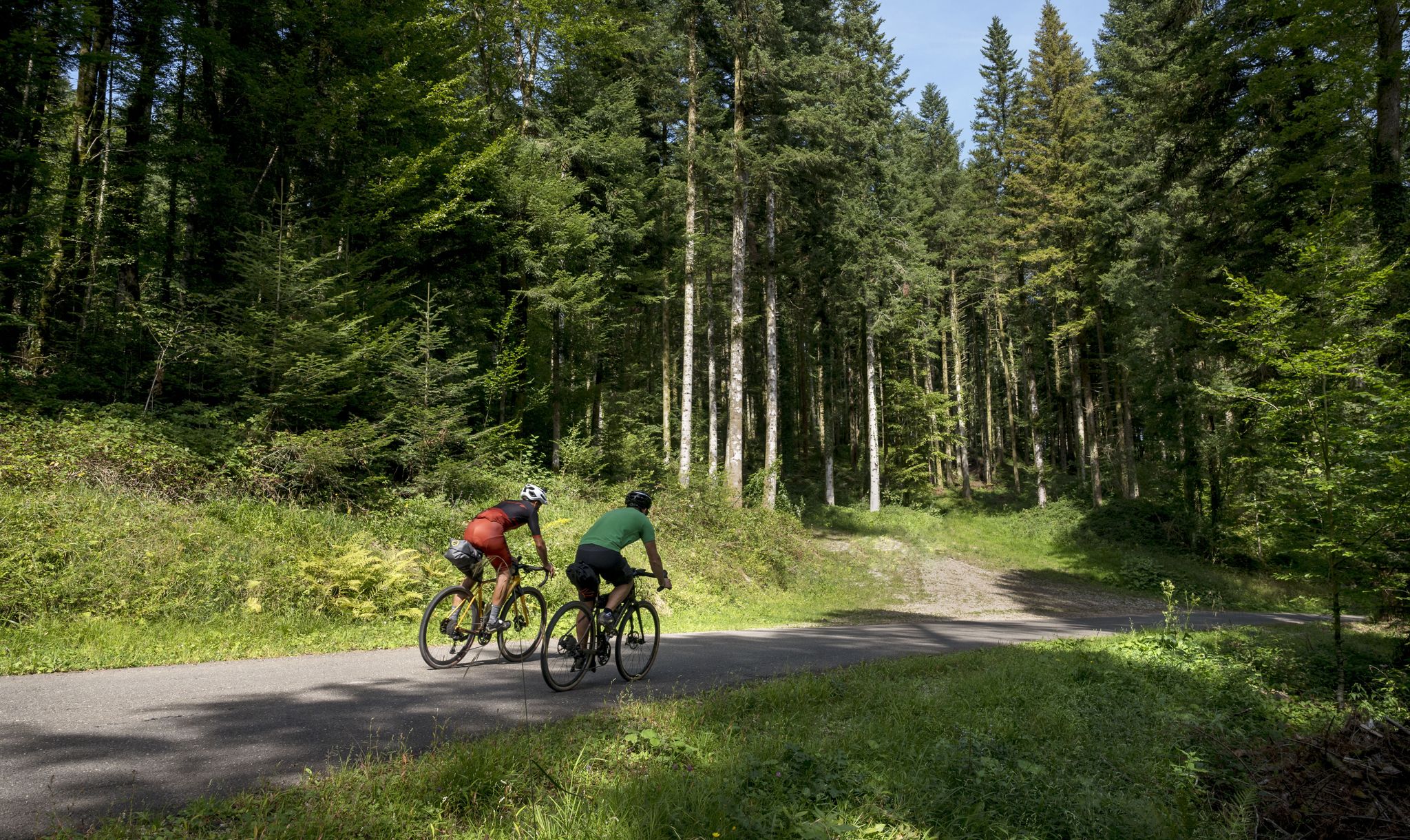
Grande Traversée du Jura - the gravel adventure
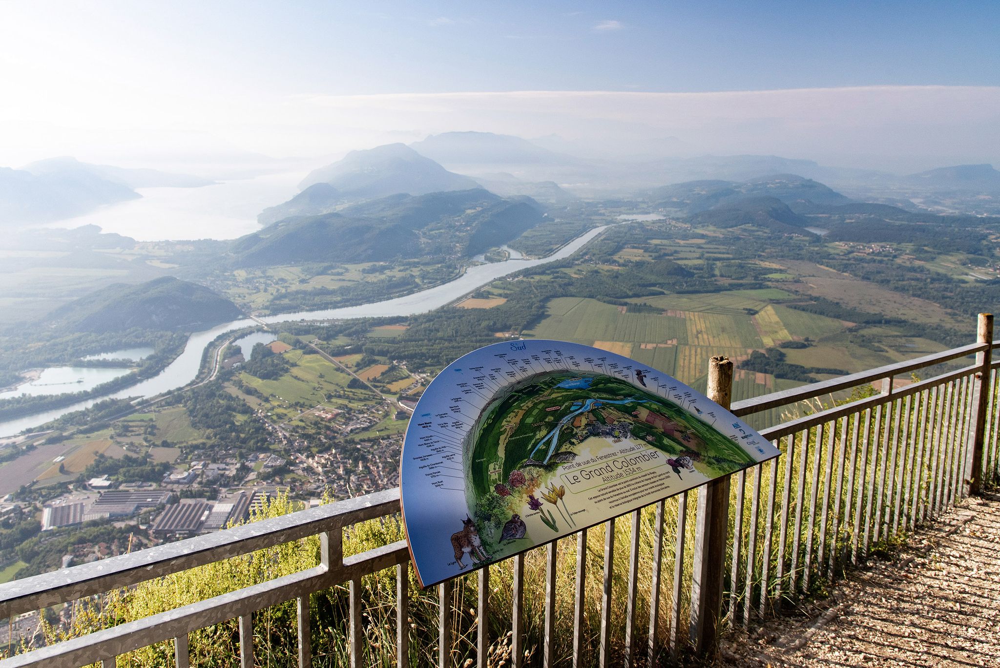
Tour de Pays MTB Bugey - Grand Colombier - Espace FFC Ain Forestière
Circuits VTT entre Plateau de Retord et Grand Colombier
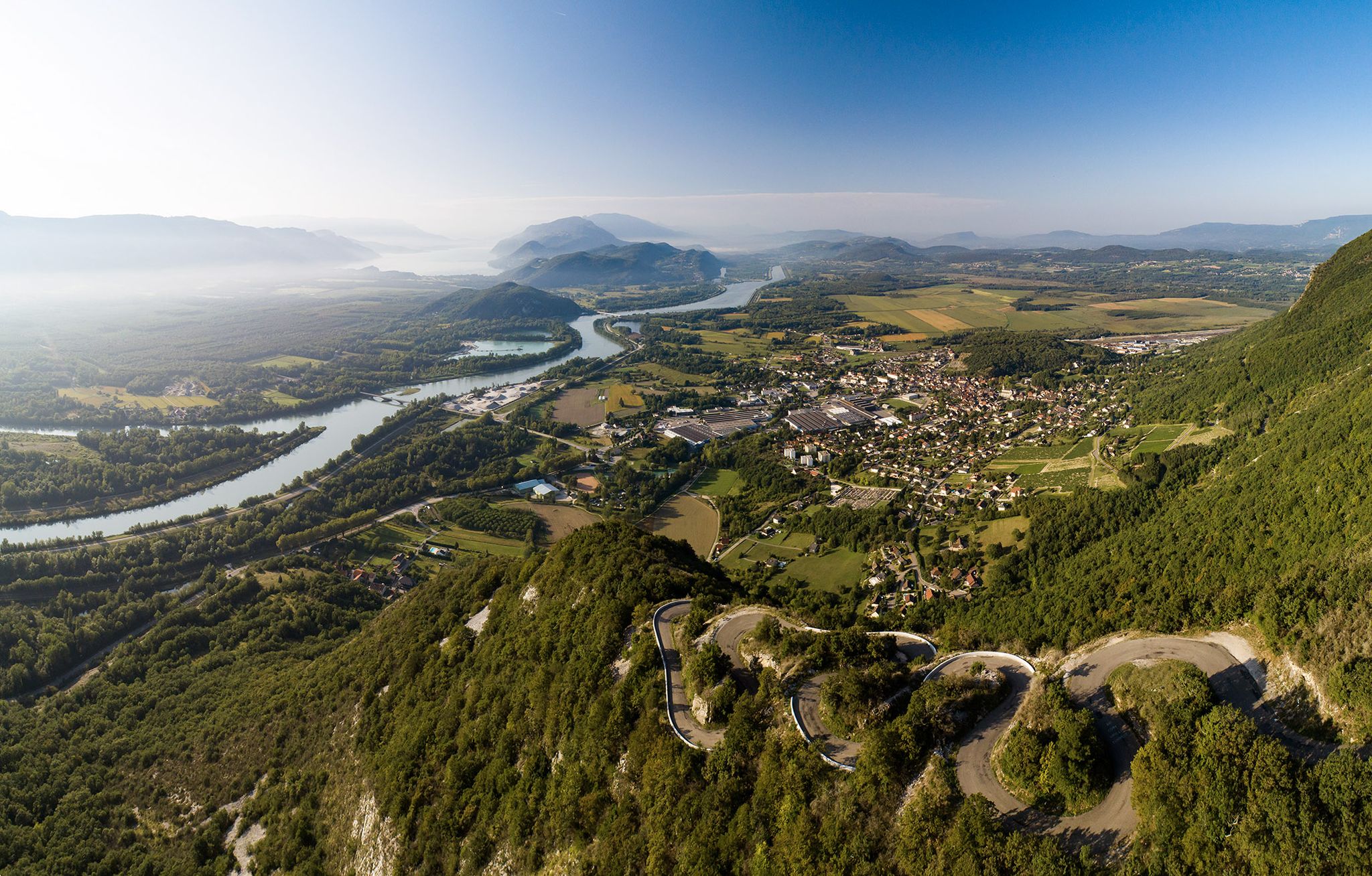
Top 14 des circuits vélo autour du Grand Colombier, de la ViaRhôna et du Plateau de Retord

Gravel biking around Haut-Valromey
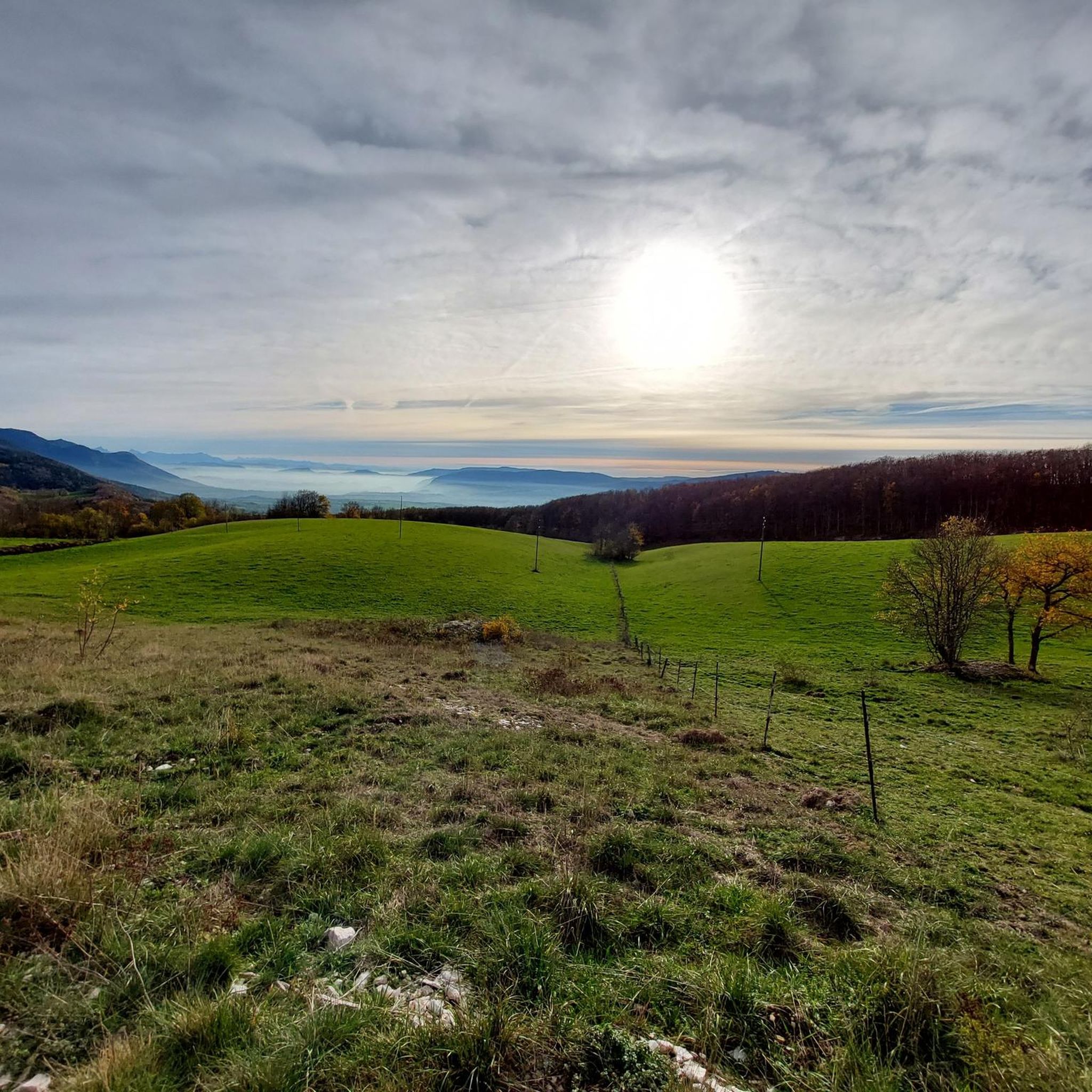
Cycling around Haut-Valromey
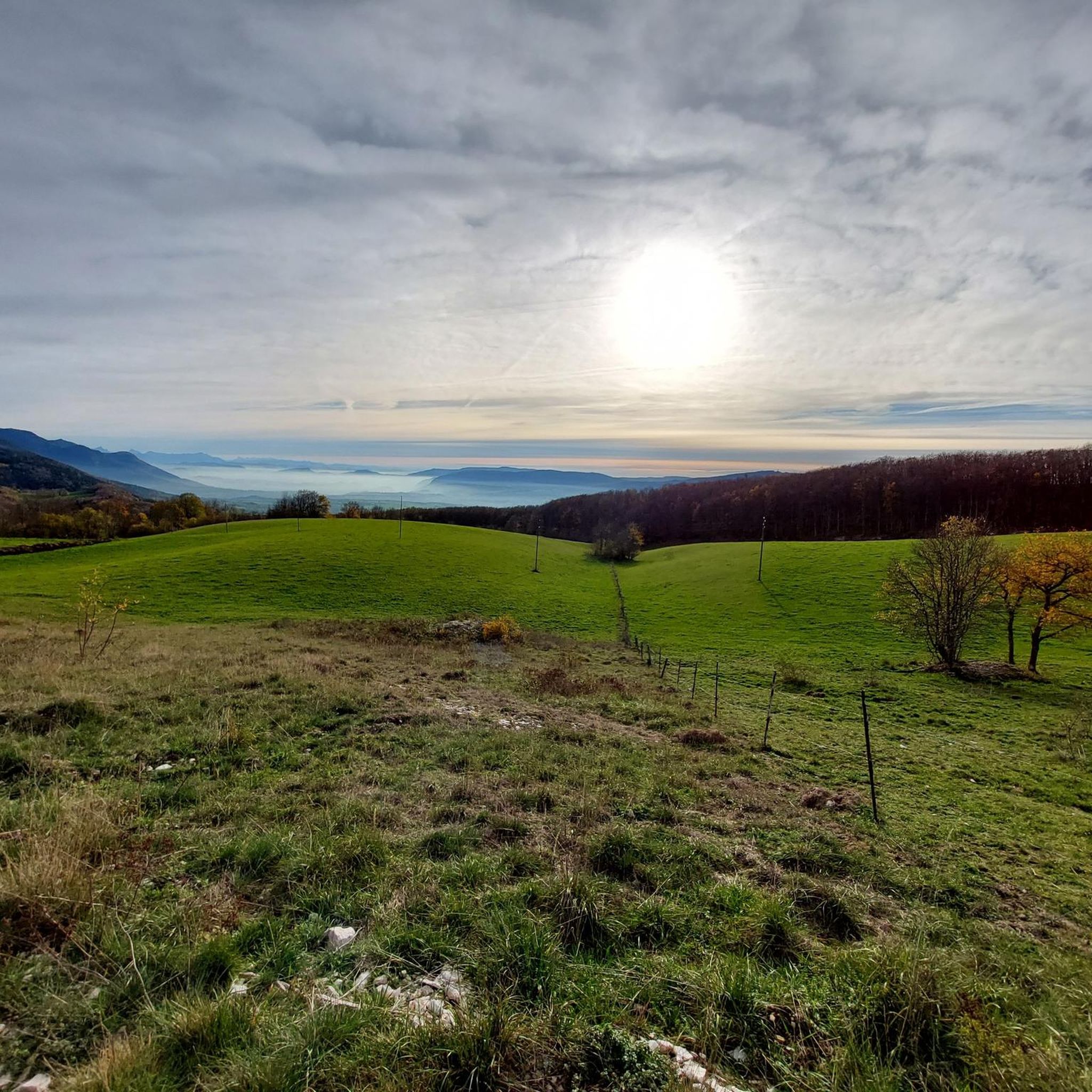
Road Cycling Routes around Haut-Valromey
MTB Trails around Haut-Valromey
Other adventures around Haut-Valromey


Tips from the Community

Very beautiful view even when Mont Blanc is shrouded in clouds, very peaceful
0
0

The Retord farm, located on the plateau of the same name, allows you to discover local products and offers a pleasant stop in a relaxing natural setting.
1
0

Path between meadows and forests in the south of the Plateau de Retord. Different sections located to the north of the road leading to the Col de Richemond offer very beautiful panoramas of the Valromey valley to the south.
1
0
This human-sized resort offers many activities available all year round. It is the starting point for VTT, Gravel and hiking circuits. It also has a biathlon stadium usable in summer and winter, unique in the Ain. Ideal for exploring the Jura massif.
0
0

Board and lodging all year round in this traditional farm, in the middle of nowhere, a must-stop for a good mountain meal!
1
0
About 10km of path between Plans d'Hotones and the Col de Cuvéry, along the GTJ VTT, it goes on gravel and it's beautiful. Please respect the places!
0
0
Start of the hike with a view of the Grand Colombier from the ruins of La Grange d’en bas. Parking on site.
0
0
Frequently Asked Questions
How many hiking trails are available in Haut-Valromey?
Haut-Valromey offers a wide selection of hiking experiences, with nearly 30 routes available. These range from easy strolls to more challenging treks across diverse terrain.
What are the general difficulty levels of hikes in Haut-Valromey?
The trails in Haut-Valromey cater to various skill levels. You'll find 7 easy routes, 19 moderate paths, and 3 more difficult options, ensuring there's something for everyone from beginners to experienced hikers.
What do other hikers say about the trails in Haut-Valromey?
The hiking trails in Haut-Valromey are highly regarded by the komoot community, boasting an average rating of 4.5 stars from over 480 reviews. Hikers frequently praise the varied landscapes, from high plateaus to dense forests, and the well-maintained paths.
Are there options for longer, more challenging hikes in the region?
Yes, for those seeking a greater challenge, Haut-Valromey offers several longer routes. An example is the Combe du cimetière – Col de Richemond (1060 m) loop from Songieu, which is nearly 30 km long and features significant elevation changes.
Are there any circular hiking routes in Haut-Valromey?
Many of the routes in Haut-Valromey are designed as loops, allowing you to start and finish at the same point. For instance, the Plans d'Hotonnes Station – Beauregard Crest loop from Hotonnes offers a scenic circular journey through the landscape.
Can I find family-friendly hiking options in Haut-Valromey?
Absolutely. With 7 easy routes available, Haut-Valromey provides gentle paths suitable for families and those new to hiking. These trails often feature less elevation gain and shorter distances, perfect for a leisurely outing.
Are dogs allowed on the hiking trails in Haut-Valromey?
Generally, dogs are welcome on trails in Haut-Valromey, especially if kept on a leash. It's always advisable to check specific trail regulations or local signage, particularly in nature reserves, to ensure a pleasant experience for everyone.
What kind of landscapes can I expect to see while hiking in Haut-Valromey?
Haut-Valromey is characterized by its diverse natural beauty within the Jura mountains. You'll encounter high plateaus, dense forests, rolling hills, open meadows, and elevated crests that provide expansive views of the surrounding region.
Are there any notable natural attractions or landmarks to see near the hiking trails?
Yes, the region around Haut-Valromey is rich in natural attractions. You can explore beautiful bodies of water like Lake Nantua or Lesines Pond. Additionally, there are several mountain passes such as Col du Grand Colombier and Col de Bérentin, offering stunning vistas.
Is Haut-Valromey suitable for winter hiking?
While the region is beautiful year-round, winter hiking in Haut-Valromey requires preparation. Some trails may be covered in snow or ice, especially at higher elevations. It's recommended to check local conditions and equip yourself with appropriate gear like snowshoes or microspikes if planning a winter hike.
What are the typical trail conditions in Haut-Valromey?
Trails in Haut-Valromey generally consist of well-defined paths through forests, across meadows, and along crests. Conditions can vary with weather; some sections might be muddy after rain, while others are rocky. The varied terrain ensures a dynamic hiking experience.
Are there opportunities for wildlife spotting during hikes?
The diverse ecosystems of Haut-Valromey, with its forests and meadows, provide habitats for various wildlife. Keep an eye out for local bird species, deer, and other small mammals, especially during quieter times of the day or in less frequented areas.
Most popular routes around Haut-Valromey
Most popular attractions around Haut-Valromey

Get inspired with the komoot mobile app


Explore more
Browse the best Hikes in other regions.
