The best walks and hikes around Le Poizat-Lalleyriat
4.4
(837)
6,353
hikers
218
hikes
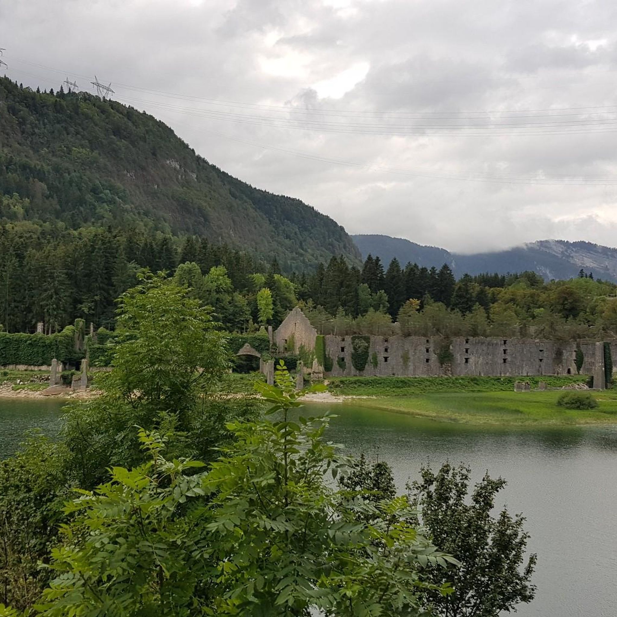
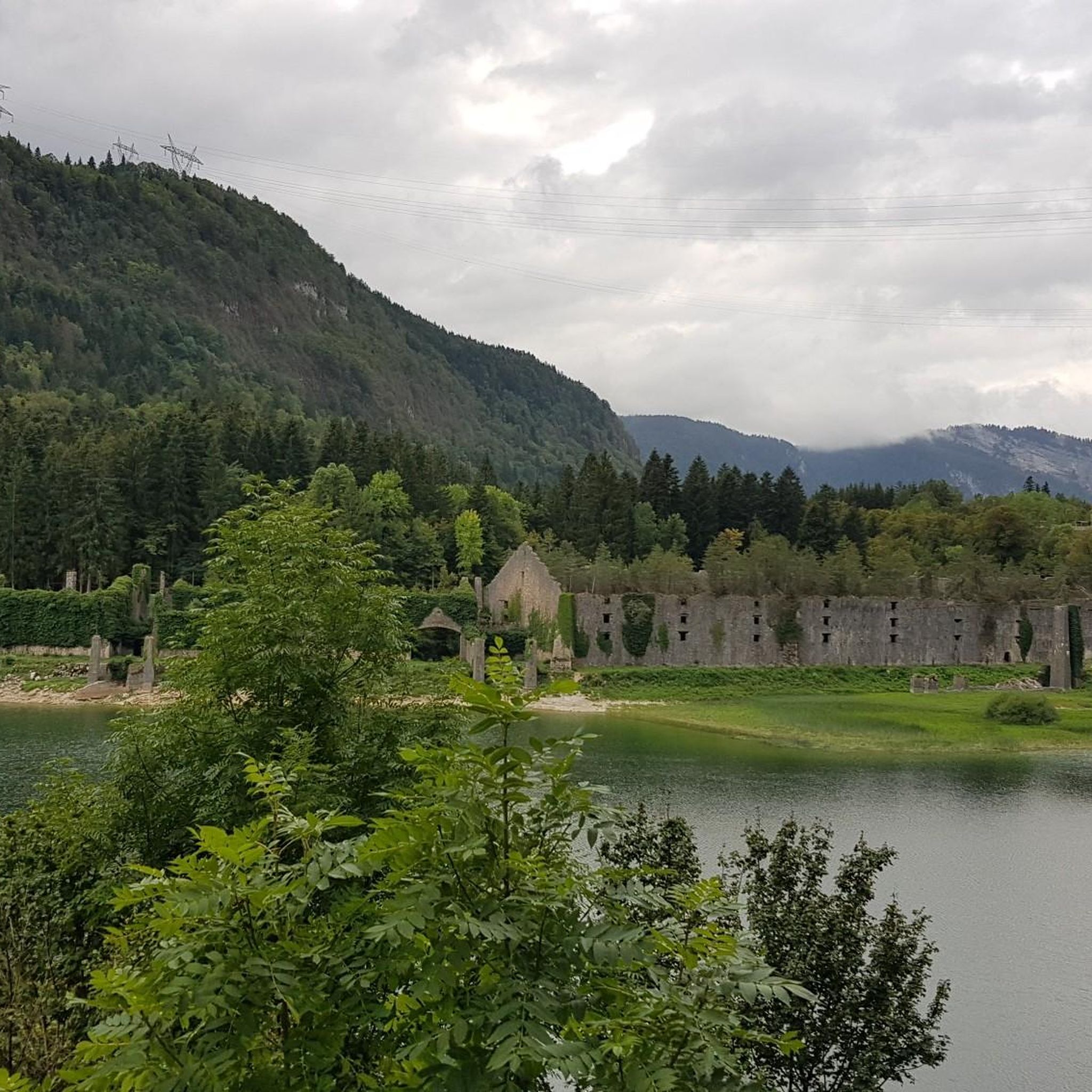
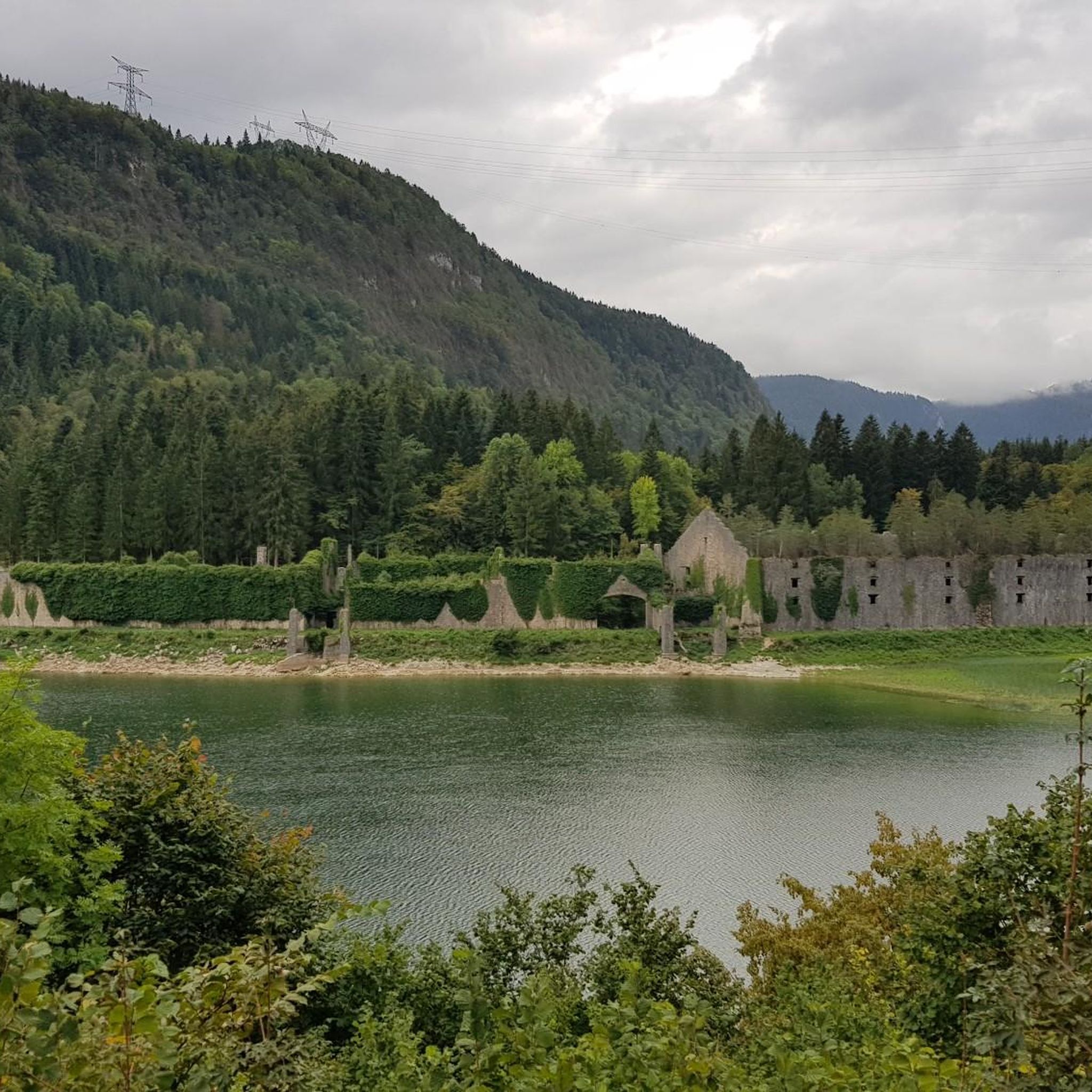
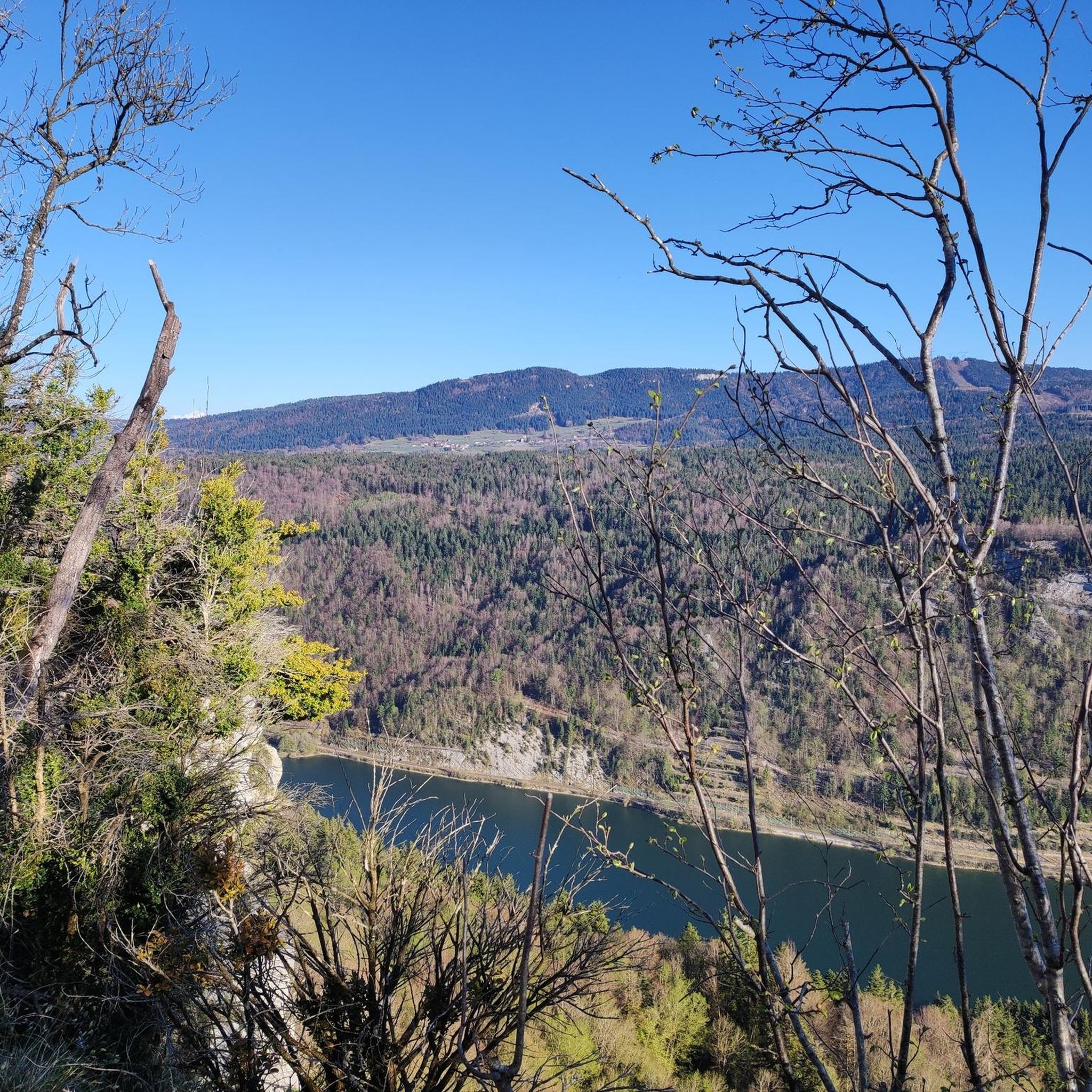
Hiking around Le Poizat-Lalleyriat offers access to diverse landscapes within the Ain department of eastern France. The region is characterized by the high-altitude Plateau de Retord, which features open spaces and wooded areas. Natural features include Lac de Sylans, a lake formed by a cliff collapse, and the Plan d'eau de Lalleyriat, a developed body of water. Wooded hills on the edge of the southern Retord plateau also contribute to the varied terrain.
Best hiking trails around Le Poizat-Lalleyriat
- The…
Last updated: July 11, 2026
4.3
(8)
72
hikers
19.8km
05:29
350m
340m
Hard hike. Very good fitness required. Easily-accessible paths. Suitable for all skill levels.
4.5
(10)
146
hikers
8.45km
02:20
140m
140m
Moderate hike. Good fitness required. Easily-accessible paths. Suitable for all skill levels.

Sign up for free
4.9
(14)
80
hikers
10.9km
02:58
160m
160m
Moderate hike. Good fitness required. Easily-accessible paths. Suitable for all skill levels.
4.8
(9)
77
hikers
7.24km
02:00
120m
120m
Easy hike. Great for any fitness level. Easily-accessible paths. Suitable for all skill levels.
5.0
(3)
44
hikers
6.90km
01:55
120m
120m
Easy hike. Great for any fitness level. Easily-accessible paths. Suitable for all skill levels.
Get access to more routes and recommendations from other explorers.
Sign up for free
Already have an account?
Our route recommendations are based on thousands of hikes, rides, and runs completed by other people on komoot.
Start today with a free account
Your next adventure awaits.
Login or Signup

Tips from the Community

Very beautiful view even when Mont Blanc is shrouded in clouds, very peaceful
0
0

The Retord farm, located on the plateau of the same name, allows you to discover local products and offers a pleasant stop in a relaxing natural setting.
0
0

A 10 km climb from the small roundabout in Châtillon, it's more like 14 km from the Nantua road or the center of Bellegarde. The gradient is fairly steady, ranging from 5.5% to 7.2%, with about ten small steep sections at +8.5%. Very quiet, with very few cars. The road is generally in good condition, but nothing more. There are some beautiful views along the way.
1
1

Extraordinary panorama, ideal place for a break on the GTJ route, a picnic or even a stopover in a gîte (booking: https://refugelaconay.clubalpinbourgenbresse.fr/reservation/)
0
0

Board and lodging all year round in this traditional farm, in the middle of nowhere, a must-stop for a good mountain meal!
0
0
A fantastic panorama of Mont Blanc and all the Alps 🤩. The course is great for the start of the season and a little meal at Lisa's with lots of kindness
2
0

Frequently Asked Questions
How many hiking trails are available in Le Poizat-Lalleyriat?
Le Poizat-Lalleyriat offers a wide selection of hiking routes, with over 220 trails to explore. These range from easy walks to more challenging treks across diverse landscapes.
Are there easy hiking trails suitable for beginners or families?
Yes, the region has approximately 70 easy routes. An excellent option is the Cuvéry Pass – View of Mont Blanc loop from Ochiaz, which is 7.1 km long and typically takes under two hours to complete, offering scenic views without significant difficulty.
What kind of views can I expect on the hiking trails?
Many trails in Le Poizat-Lalleyriat offer stunning panoramic views, particularly of Mont Blanc from the higher points of the Plateau de Retord. Routes like the Plateau de Retord – View of Mont Blanc loop from Ochiaz are specifically known for these expansive vistas.
Are there any challenging hikes for experienced trekkers?
Absolutely. For experienced hikers, there are about 20 difficult routes. The Retord - Balconies of Mont Blanc Trail is a challenging 19.8 km route that takes over five hours, featuring significant elevation changes and diverse terrain.
What natural attractions can be seen near the hiking trails?
Hikers can discover several natural attractions. These include the picturesque Lake Nantua, the dramatic Pertes de la Valserine waterfall, and the scenic Valserine Gorges. The region also features the tranquil Lac de Sylans and the versatile Plan d'eau de Lalleyriat.
Are there circular hiking routes available?
Yes, many routes in Le Poizat-Lalleyriat are designed as loops. For instance, the View of Mont Blanc – Plateau de Retord loop from Ochiaz is a moderate 8.3 km circular path that offers great views and returns to its starting point.
What do other hikers say about the trails in Le Poizat-Lalleyriat?
The hiking trails in Le Poizat-Lalleyriat are highly regarded by the komoot community, holding an average rating of 4.4 stars from over 700 reviews. Hikers frequently praise the diverse landscapes, from open plateaus to wooded hills, and the stunning views, especially of Mont Blanc.
Is Le Poizat-Lalleyriat suitable for winter hiking or other winter activities?
While specific winter hiking routes are not detailed, the region transforms in winter. The Plan d'eau de Lalleyriat, when frozen, becomes a natural ice rink for skating and sledding, and the area is also popular for Nordic skiing.
Are there any mountain passes to explore in the area?
Yes, the region features notable mountain passes. The Col de Bérentin and the Col de Cuvéry are popular points for scenic routes and offer access to various hiking loops.
What is the typical elevation gain on trails in Le Poizat-Lalleyriat?
Elevation gains vary significantly. Easier paths might have minimal gain, while more strenuous hikes, such as the "Retord - Balconies of Mont Blanc Trail," can involve over 340 meters of ascent, requiring good fitness.
Can I find trails that pass by lakes?
Yes, the region is home to beautiful lakes. While not all trails directly skirt them, you can find routes that offer views or access to bodies of water like Lac de Sylans and the Lake Genin.
Most popular routes around Le Poizat-Lalleyriat
Most popular attractions around Le Poizat-Lalleyriat

Get inspired with the komoot mobile app


Explore more
Browse the best Hikes in other regions.
