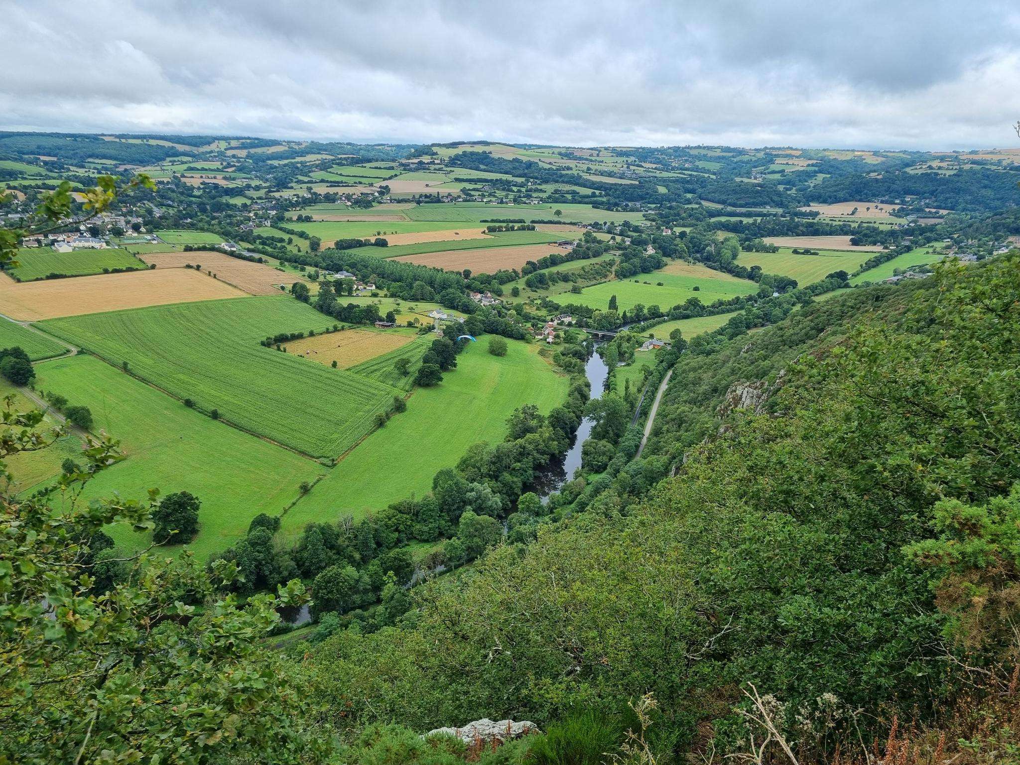
The best running trails around Valdallière
4.5
(71)
2,145
runners
307
runs
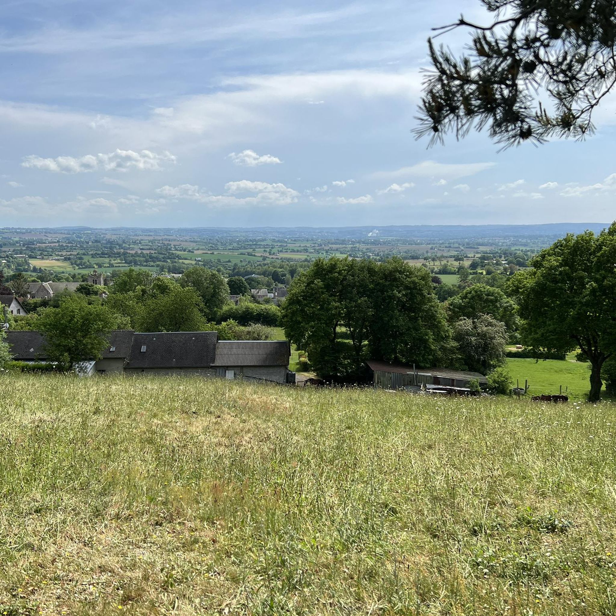
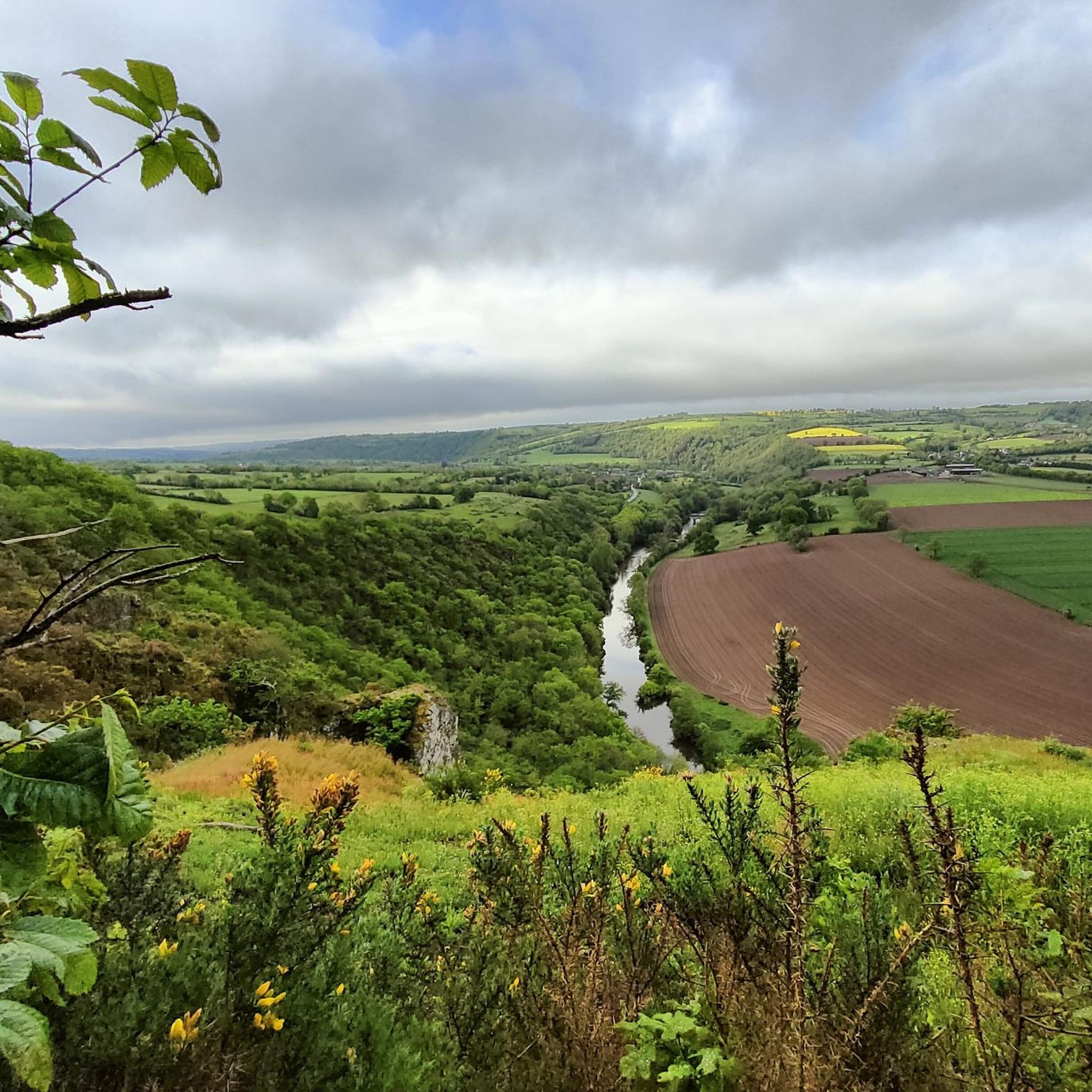
Jogging around Valdallière offers an opportunity to explore the diverse landscapes of this region in Normandy, France. The area features traditional hedgerows, wooded pastures, and undulating terrain, providing varied environments for running. Runners can find routes ranging from gentle paths to more challenging inclines, including those within Natura 2000 conservation areas. The landscape includes a mix of rural sections and hills, making it suitable for different preferences.
Best jogging routes around Valdallière
- The most popular jogging route is Running loop…
Last updated: June 25, 2026
32
runners
6.46km
00:40
50m
50m
Moderate run. Good fitness required. Mostly paved surfaces. Suitable for all skill levels.
4
runners
7.59km
00:52
60m
60m
Moderate run. Good fitness required. Mostly paved surfaces. Suitable for all skill levels.

Sign up for free
4
runners
6.82km
00:43
50m
50m
Moderate run. Good fitness required. Mostly paved surfaces. Suitable for all skill levels.
4
runners
9.08km
01:03
110m
110m
Moderate run. Good fitness required. Mostly paved surfaces. Suitable for all skill levels.
5.0
(1)
4
runners
9.92km
01:08
130m
130m
Moderate run. Good fitness required. Mostly paved surfaces. Suitable for all skill levels.
Get access to more routes and recommendations from other explorers.
Sign up for free
Already have an account?
Our route recommendations are based on thousands of hikes, rides, and runs completed by other people on komoot.
Start today with a free account
Your next adventure awaits.
Login or Signup

Frequently Asked Questions
How many running routes are available in Valdallière?
Valdallière offers a wide selection of running routes, with over 290 options available on komoot. These routes cater to various fitness levels, including easy, moderate, and difficult trails, ensuring there's something for every runner.
What kind of terrain can I expect on the jogging trails in Valdallière?
The jogging trails in Valdallière feature diverse terrain, characterized by traditional hedgerows, wooded pastures, and undulating hills. While many routes, like the Running loop from Vaudry, are mostly on paved surfaces, others offer a mix of rural paths and more challenging inclines, providing a varied and engaging experience.
Are there any easy running routes suitable for beginners or families in Valdallière?
Yes, Valdallière has several easy running routes perfect for beginners or families. While specific easy routes aren't detailed in the provided data, the region's diverse terrain includes options suitable for all fitness levels. You can find routes that are less strenuous and offer a pleasant experience through the countryside.
Can I bring my dog on the running routes in Valdallière?
Many outdoor trails in Valdallière, especially those through rural landscapes and wooded areas, are generally dog-friendly. However, it's always recommended to keep your dog on a leash, especially when passing through agricultural land or near wildlife, and to check for any specific local regulations on individual routes.
What are some notable landmarks or scenic viewpoints I can see while running in Valdallière?
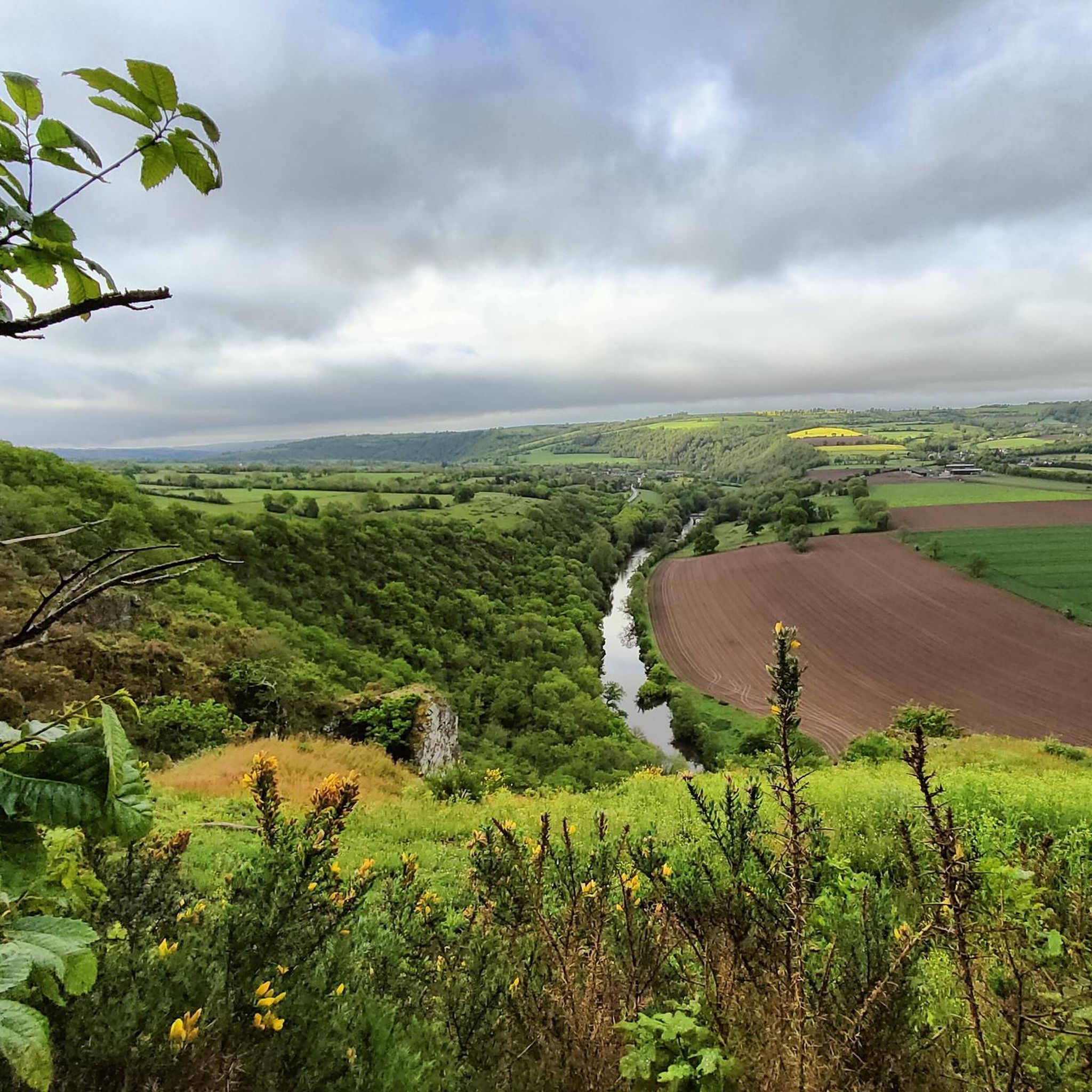
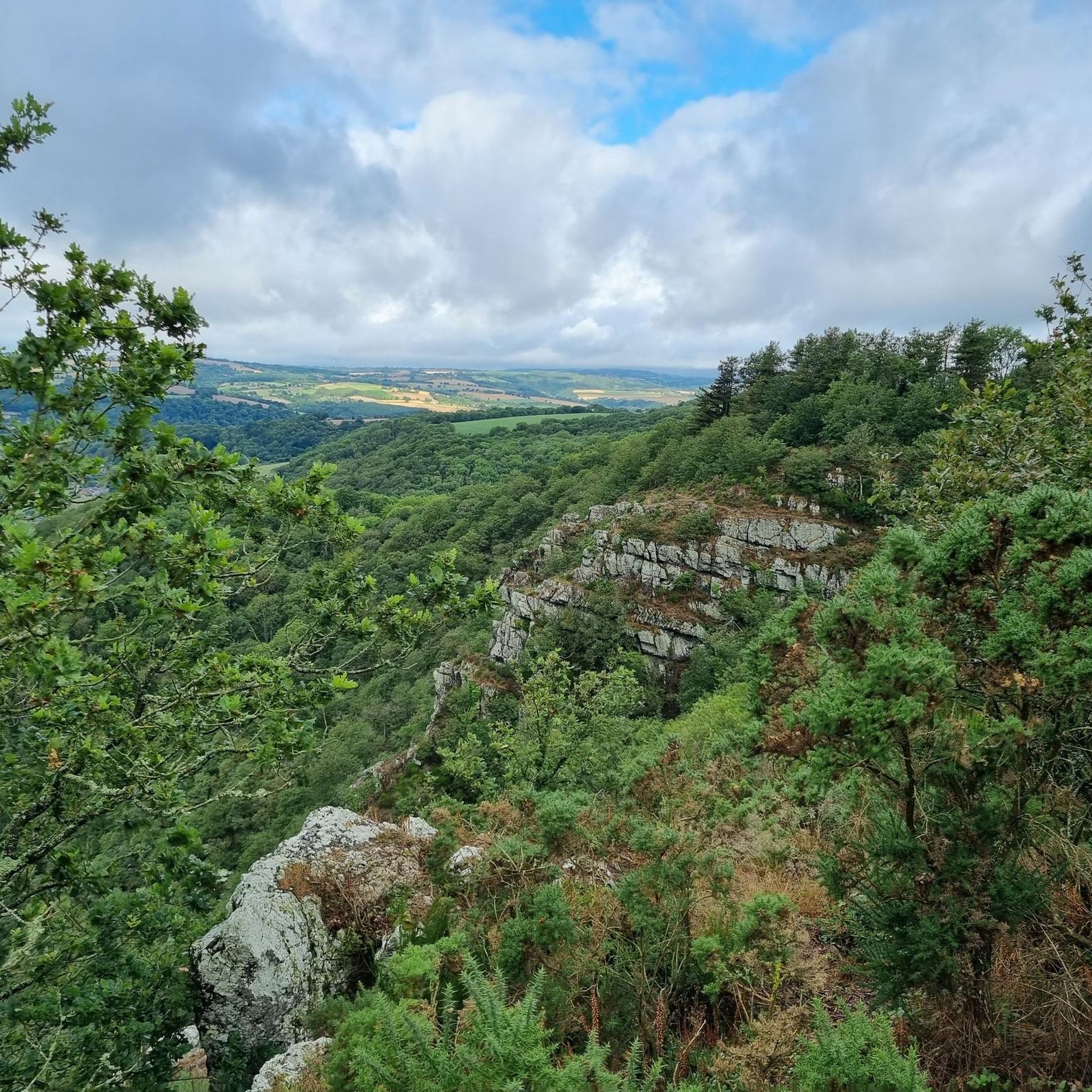
Valdallière's running routes offer opportunities to see several notable landmarks and enjoy scenic views. You might encounter the impressive Souleuvre Viaduct, an architectural marvel, or enjoy panoramic vistas from Mont Pinçon, the highest point in Calvados. The region also features charming settlements like Clécy and the historic Mont de Cerisy and Castle Ruins.
Are there circular running routes available in Valdallière?
Yes, many of the running routes in Valdallière are designed as circular loops, offering convenient starting and ending points. Examples include the Running loop from Lasserie and the Running loop from La Rocque, allowing you to explore the diverse landscapes without retracing your steps.
What is the typical distance and elevation gain for running routes in Valdallière?
Running routes in Valdallière vary in distance and elevation. For instance, the Running loop from Saint-Germain-du-Crioult is about 9 km with over 110 meters of elevation gain, while the Running loop from Montchauvet covers nearly 10 km with similar elevation. You'll find options ranging from shorter, flatter paths to longer, more undulating trails.
When is the best time of year to go running in Valdallière?
Valdallière's diverse landscapes make it suitable for running throughout much of the year. Spring (May-June) is particularly beautiful when rhododendrons bloom on Mont de Cerisy. The region's mix of wooded sections and open areas means you can find pleasant conditions in various seasons, though checking local weather forecasts is always advisable.
What do other runners say about the trails in Valdallière?
The running routes in Valdallière are highly regarded by the komoot community, boasting an average rating of 4.5 stars from over 70 reviews. More than 2000 runners have used komoot to explore the area, often praising the varied terrain, traditional hedgerows, and the opportunity to discover the natural beauty of Normandy.
Are there any running routes that pass through protected natural areas?
Yes, Valdallière is home to two Natura 2000 conservation areas, the Bassin de la Druance and the Bassin de la Souleuvre. These well-preserved natural environments likely offer tranquil and beautiful routes for jogging amidst protected flora and fauna, providing a unique experience for nature lovers.
Where can I find parking for the running trails in Valdallière?
Many running routes in Valdallière, especially those starting from villages or specific points of interest, typically have designated parking areas nearby. While specific parking details for each route are best checked on individual komoot tour pages, you can generally expect to find convenient parking options at common trailheads.
Can I access the running routes in Valdallière using public transport?
Access to specific running routes via public transport in Valdallière can vary. While some routes might be accessible from larger towns with bus services, many trails in this rural region may require personal transportation to reach the starting points. It's advisable to check local public transport schedules and routes in advance for specific trailheads.
Most popular routes around Valdallière
Most popular attractions around Valdallière

Get inspired with the komoot mobile app


Explore more
Browse the best Running Trails & Routes in other regions.
