The best walks and hikes around Valdallière
4.7
(248)
1,090
hikers
131
hikes
Hiking around Valdallière offers diverse landscapes within the Calvados department of northwestern France. The region is characterized by the traditional hedgerows and wooded pastures of the Bocage Virois, bordering the undulating terrain of "Suisse Normande." Mount Pinçon, the highest point in Calvados at 362 meters, provides panoramic views. Valdallière also includes parts of the Natura 2000 conservation areas of the Bassin de la Druance and Bassin de la Souleuvre.
Best hiking trails around Valdallière
- The most popular hiking route is…
Last updated: September 1, 2026
8
hikers
9.53km
02:32
100m
100m
Moderate hike. Good fitness required. Easily-accessible paths. Suitable for all skill levels.
5.0
(1)
6
hikers
Easy hike. Great for any fitness level. Easily-accessible paths. Suitable for all skill levels.

Sign up for free
4.5
(2)
9
hikers
14.6km
03:56
200m
200m
Moderate hike. Good fitness required. Easily-accessible paths. Suitable for all skill levels.
4.5
(4)
40
hikers
Moderate hike. Good fitness required. Easily-accessible paths. Suitable for all skill levels.
4.0
(1)
3
hikers
6.98km
01:54
100m
100m
Easy hike. Great for any fitness level. Easily-accessible paths. Suitable for all skill levels.
Get access to more routes and recommendations from other explorers.
Sign up for free
Already have an account?
Our route recommendations are based on thousands of hikes, rides, and runs completed by other people on komoot.
Start today with a free account
Your next adventure awaits.
Login or Signup

Tips from the Community

The estate, nestled between the bocage countryside and the Suisse Normande region, has belonged to the Calvados department since 1896. The château, gamekeeper's and gardener's lodges, dovecote, farmhouse, woods, and lands all bear witness to its noble past. A museum also allows visitors to discover the furniture, as well as family heirlooms and decorative objects that bring the Pontécoulant family history to life.
0
0


go up the steep slope behind the little house
0
0

There you will find a small site where the Vire flows through a series of rocky waterfalls, creating a natural spectacle of sound and movement. The waterfalls are part of a Sensitive Natural Area, a protected area that is home to rare species of fish and crayfish. Enjoy the beauty and tranquility of this hidden gem.
2
0


16th century castle listed as historical monuments. Reorganized into a museum, it is possible to visit and enjoy a tea room. The estate also includes landscaped gardens. On the north face is a picnic area with a view of the castle.
0
0

At point 5, the easy hike crosses a farm. Private property. We had to turn around
0
0
Frequently Asked Questions
How many hiking trails are available in Valdallière?
Valdallière offers a wide selection of hiking trails, with over 130 routes documented on komoot. These range from easy strolls to more challenging long-distance hikes, catering to various fitness levels.
What types of landscapes can I expect to see while hiking in Valdallière?
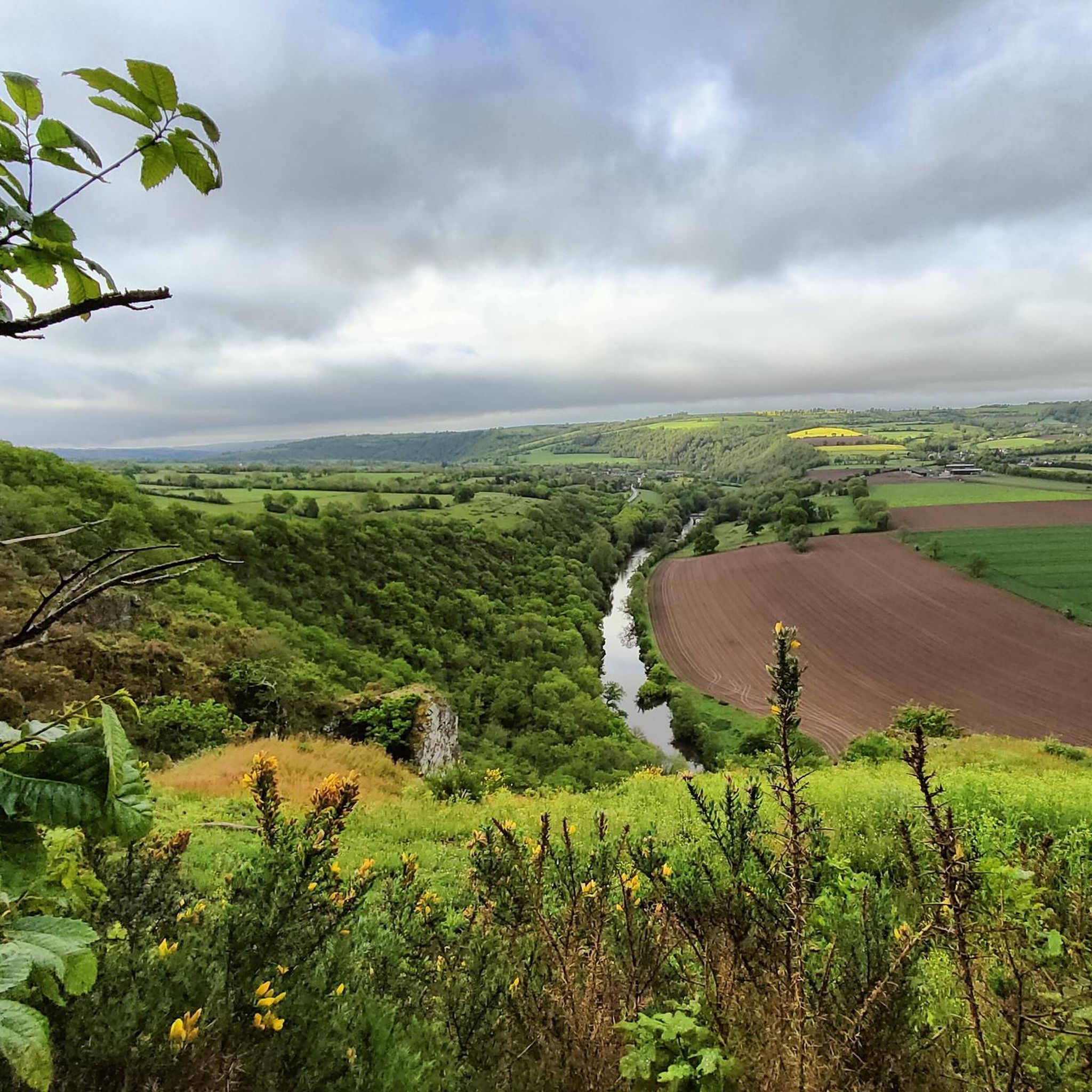
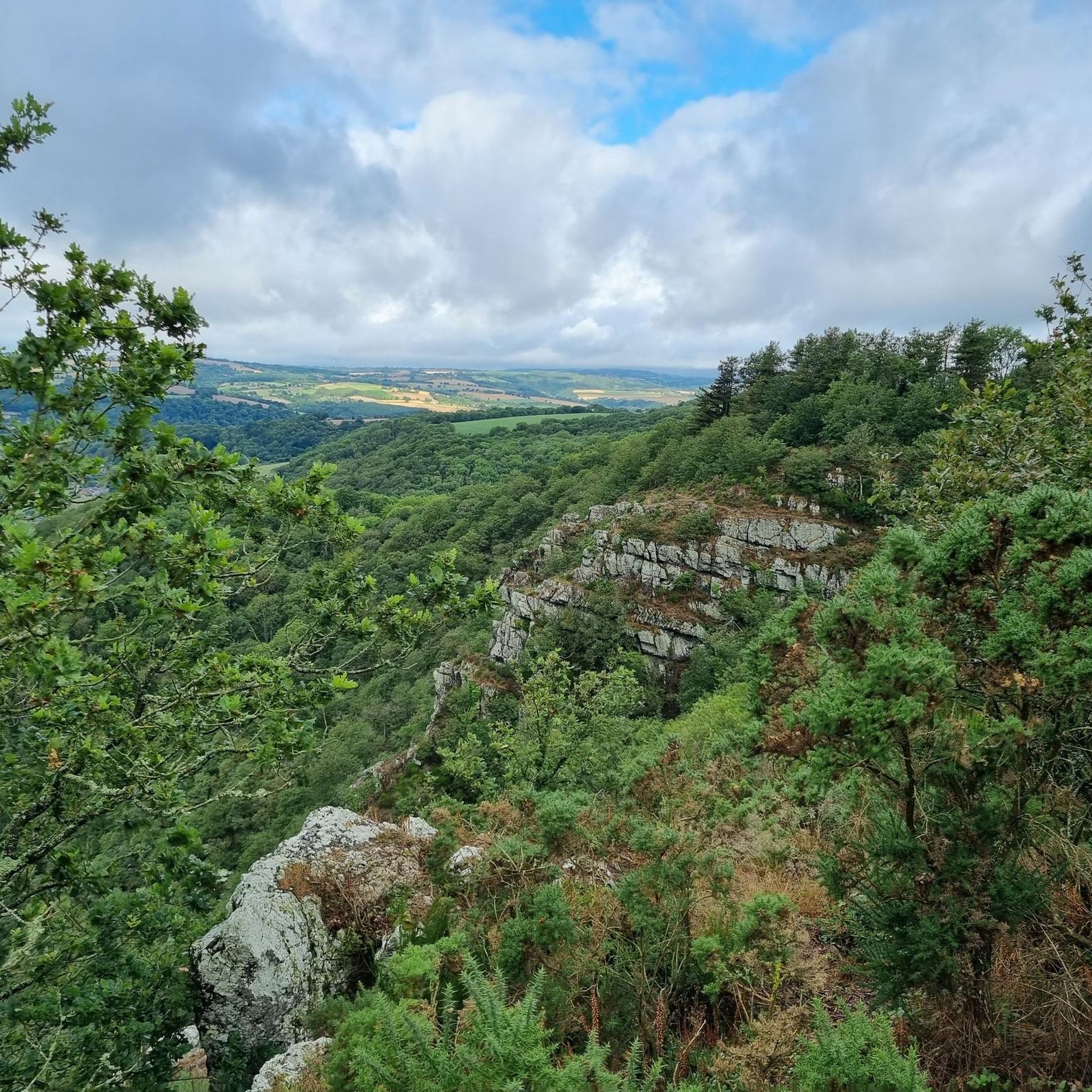
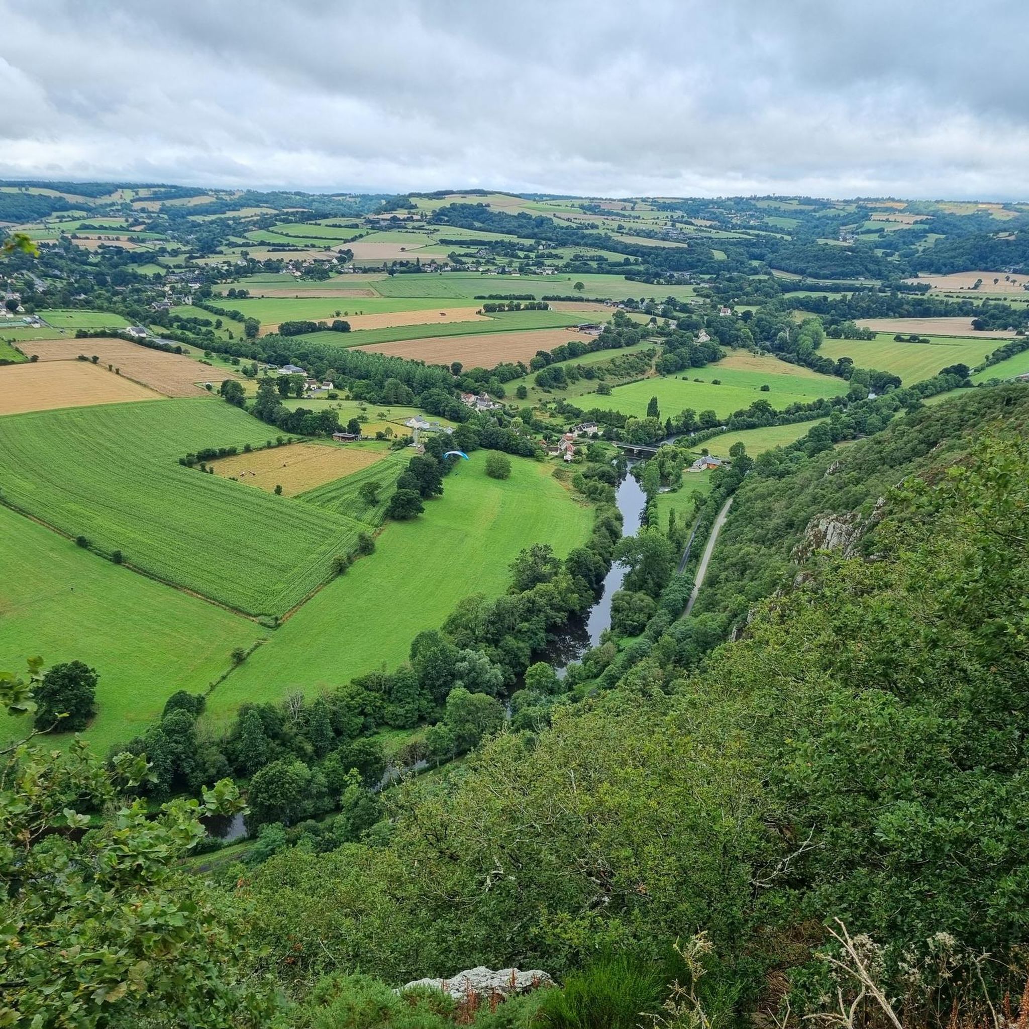
The region is characterized by the picturesque Bocage Virois, featuring traditional hedgerows and wooded pastures. You'll also find undulating terrain reminiscent of 'Suisse Normande,' offering varied and engaging scenery. Key natural features include the Natura 2000 conservation areas of the Bassin de la Druance and Bassin de la Souleuvre.
Are there any easy hiking trails suitable for families or beginners?
Yes, Valdallière has 36 easy routes. An excellent option is Château de Pontécoulant loop from La Chapelle-Engerbold, an easy 4.8 km path that takes about 1 hour 21 minutes to complete, offering a pleasant walk through the local landscape.
What are some notable landmarks or attractions I can see along the trails?
Hikers can explore several interesting points. You might encounter the impressive Souleuvre Viaduct, an architectural marvel by Gustave Eiffel. For panoramic views, consider trails near Mount Pinçon, the highest point in Calvados. Other points of interest include Mont de Cerisy and Castle Ruins.
Are there any long-distance or more challenging hikes in the area?
Yes, for those seeking a challenge, Valdallière offers 10 difficult routes. The Château de Pontécoulant – Pontecoulant Castle loop from Condé-sur-Noireau is a demanding 20.8 km trail that typically takes nearly 6 hours to complete, traversing varied terrain.
What do other hikers say about the trails in Valdallière?
The komoot community highly rates the trails in Valdallière, with an average score of 4.7 out of 5 stars from over 190 reviews. Hikers often praise the diverse scenery, from traditional hedgerows to wooded pastures, and the well-maintained paths that offer options for various ability levels.
Are there any circular hiking routes available?
Many of the trails in Valdallière are designed as circular routes, allowing you to start and finish at the same point. For example, the Hiking loop from Saint-Pierre-d'Entremont is a moderate 11.6 km circular trail.
Is Valdallière a good destination for nature observation?
Absolutely. Valdallière includes parts of two significant Natura 2000 conservation areas: the Bassin de la Druance and the Bassin de la Souleuvre. These protected sites are vital for local biodiversity, offering prime opportunities for observing flora and fauna during your hikes.
What is the best time of year to go hiking in Valdallière?
The region's diverse landscapes are enjoyable throughout much of the year. Spring and autumn generally offer pleasant temperatures and vibrant scenery, while summer provides longer daylight hours. Always check local weather conditions before heading out.
Are there specific trails that offer panoramic views?
Yes, trails that ascend towards Mount Pinçon, the highest point in Calvados, are known for providing magnificent panoramic views of the surrounding Bocage Virois and beyond.
Can I find information about specific trails like 'Le Chemin des Logettes' or 'La Vallée du Tortillon'?
While specific komoot tours for these exact named trails aren't highlighted in this guide, Valdallière offers numerous marked circuits. You can explore the komoot platform for routes near Vassy, where 'Le Chemin des Logettes' and 'La Vallée du Tortillon' are located, to find similar local paths.
Are there any trails that pass by historical sites?
Yes, some routes, like the Château de Pontécoulant – Pontecoulant Castle loop from Condé-sur-Noireau, will take you past historical landmarks. Additionally, the summit of Mount Pinçon features a military memorial.
Most popular routes around Valdallière
Most popular attractions around Valdallière

Get inspired with the komoot mobile app


Explore more
Browse the best Hikes in other regions.
