The best walks and hikes around Saint-Hilaire-Du-Harcouët
4.3
(68)
349
hikers
50
hikes
Hiking around Saint-Hilaire-Du-Harcouët offers a network of trails through the varied landscape of Normandy. The region is characterized by its woodlands, river valleys, and agricultural areas, providing a mix of natural and pastoral scenery. Trails often follow the Sélune River and pass by historical sites, with gentle elevation changes suitable for different activity levels. The terrain typically consists of well-maintained paths through forests and open countryside.
Best hiking trails around Saint-Hilaire-Du-Harcouët
- The most popular hiking route is Celtic Rock – La Pierre au Diable loop from Monthault, a 4.0 miles (6.5 km) trail that takes 1 hour 45 minutes to complete. This easy route explores local folklore and natural features.
- Another top favourite among local hikers is Ancient Dam Site – Woodland path along the Sélune loop from Les Biards, a moderate 6.5 miles (10.4 km) path. This trail follows the Sélune river through woodlands and past historical dam sites.
- Local hikers also love the Woodland path along the Sélune loop from Les Biards, a 4.5 miles (7.3 km) trail leading through riverine woodlands, often completed in about 2 hours 2 minutes.
- Hiking around Saint-Hilaire-Du-Harcouët is defined by its river valleys, dense woodlands, and historical points of interest. The network offers options for different ability levels, including easy hikes and more moderate routes.
- The routes in Saint-Hilaire-Du-Harcouët are highly rated by the komoot community with an average score of 4.5 stars from over 60 reviews. More than 300 hikers have used komoot to explore Saint-Hilaire-Du-Harcouët's varied terrain.
Last updated: July 9, 2026
4.8
(5)
21
hikers
6.50km
01:45
80m
80m
Easy hike. Great for any fitness level. Easily-accessible paths. Suitable for all skill levels.
4.5
(2)
10
hikers
7.32km
02:03
140m
140m
Moderate hike. Good fitness required. Easily-accessible paths. Suitable for all skill levels.

Sign up for free
3.8
(4)
13
hikers
10.4km
02:54
190m
190m
Moderate hike. Good fitness required. Easily-accessible paths. Suitable for all skill levels.
4.0
(2)
6
hikers
14.5km
04:03
290m
290m
Moderate hike. Good fitness required. Easily-accessible paths. Suitable for all skill levels.
8
hikers
8.41km
02:15
90m
90m
Moderate hike. Good fitness required. Easily-accessible paths. Suitable for all skill levels.
Get access to more routes and recommendations from other explorers.
Sign up for free
Already have an account?
Our route recommendations are based on thousands of hikes, rides, and runs completed by other people on komoot.
Start today with a free account
Your next adventure awaits.
Login or Signup

Frequently Asked Questions
How many hiking trails are available around Saint-Hilaire-Du-Harcouët?
There are over 50 hiking trails available around Saint-Hilaire-Du-Harcouët, offering a diverse range of experiences through woodlands, river valleys, and agricultural landscapes.
Are there easy hiking trails suitable for beginners in Saint-Hilaire-Du-Harcouët?
Yes, Saint-Hilaire-Du-Harcouët offers a good selection of easy trails, with 21 routes specifically rated as easy. An excellent option for beginners is the Celtic Rock – La Pierre au Diable loop from Monthault, which is 4.0 miles (6.5 km) long and explores local folklore.
What is the typical length and duration of hiking routes in the area?
Hiking routes around Saint-Hilaire-Du-Harcouët vary in length, with many falling between 4 to 9 miles (6 to 14 km). Durations can range from under 2 hours for shorter, easier paths to 3-4 hours for more moderate, longer trails. For example, the Ancient Dam Site – Woodland path along the Sélune loop from Les Biards is a moderate 6.5 miles (10.4 km) path.
Are there family-friendly hiking options in Saint-Hilaire-Du-Harcouët?
Many of the easier trails are suitable for families, featuring gentle elevation changes and well-maintained paths. These routes allow for enjoyable outings with children, offering a chance to explore the natural surroundings without excessive difficulty.
Can I bring my dog on the hiking trails?
Generally, dogs are welcome on most hiking trails in the Saint-Hilaire-Du-Harcouët area, provided they are kept on a leash, especially in agricultural areas or near livestock. Always be mindful of local regulations and respect other hikers and wildlife.
What kind of scenic views can I expect while hiking here?
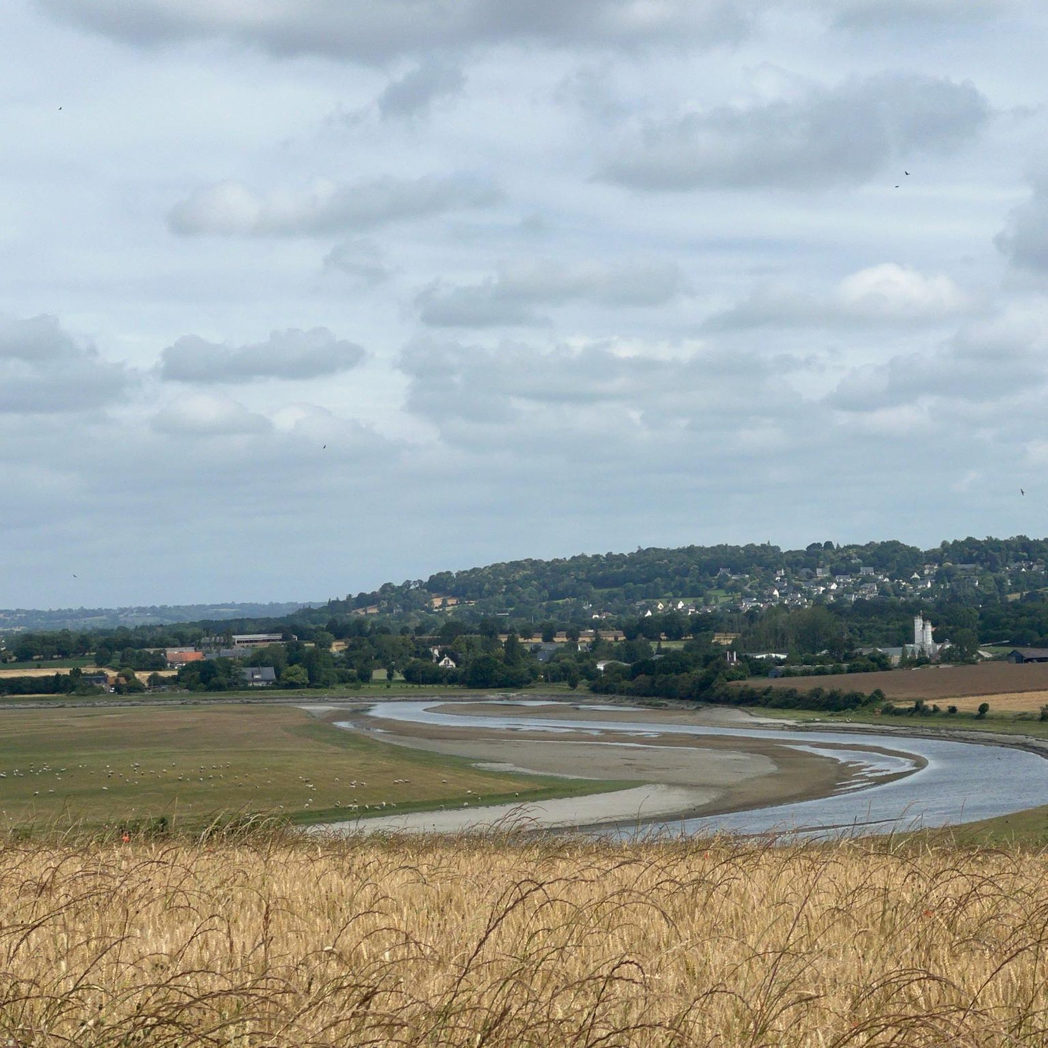
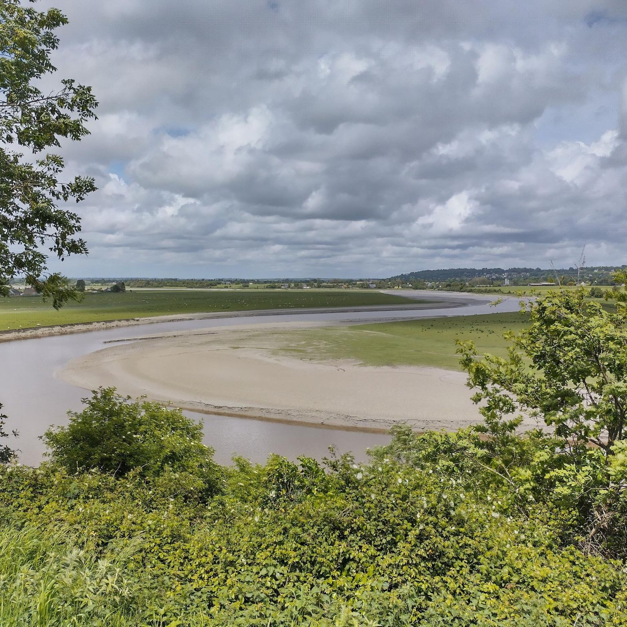
Hikers in Saint-Hilaire-Du-Harcouët can expect varied scenery, including tranquil river valleys along the Sélune, dense woodlands, and open agricultural landscapes. Many routes offer picturesque views of the Norman countryside.
Are there any circular walks available?
Yes, many of the trails around Saint-Hilaire-Du-Harcouët are designed as circular routes, allowing you to start and end at the same point. An example is the Woodland path along the Sélune loop from Les Biards, which is a 4.5 miles (7.3 km) loop.
What are some interesting landmarks or attractions to see near the hiking trails?
The region offers several points of interest. You might encounter historical sites like the Old railway station or explore charming settlements such as Ducey. Some trails also pass by remnants of ancient dam sites along the Sélune River.
What do other hikers enjoy most about hiking in Saint-Hilaire-Du-Harcouët?
The area is highly rated by the komoot community, with an average score of 4.5 stars from over 60 reviews. Hikers often praise the peaceful atmosphere of the woodlands, the beauty of the river valleys, and the well-maintained paths that make for an enjoyable experience.
When is the best time of year to go hiking in Saint-Hilaire-Du-Harcouët?
The best time to hike in Saint-Hilaire-Du-Harcouët is typically from spring to autumn (April to October). During these months, the weather is generally milder and more pleasant, with lush greenery in spring and vibrant colors in autumn. While winters are generally mild, they can be wet.
Are there any trails that offer a glimpse into the region's history?
Yes, several trails incorporate historical elements. For instance, the Ancient Dam Site – Woodland path along the Sélune loop from Vezins takes you past historical dam sites, offering insights into the area's past industrial heritage along the river.
Most popular routes around Saint-Hilaire-Du-Harcouët
Most popular attractions around Saint-Hilaire-Du-Harcouët

Get inspired with the komoot mobile app


Explore more
Browse the best Hikes in other regions.
