The best gravel rides around Saint-Hilaire-Du-Harcouët
4.8
(13)
139
riders
10
rides
Gravel biking around Saint-Hilaire-Du-Harcouët offers diverse terrain within the Norman bocage, characterized by its hedgerows and woodlands. The region features river valleys, including the Airon and Sélune, providing routes along watercourses. Greenways and former railway lines offer dedicated cycling infrastructure, while the proximity to the Bay of Mont Saint-Michel allows for routes with panoramic views.
Best gravel bike trails around Saint-Hilaire-Du-Harcouët
- The most popular gravel bike trail is Old railway station – beautiful photo motif loop from Parigny, a…
Last updated: July 16, 2026
5.0
(5)
37
riders
31.2km
01:40
230m
230m
Moderate gravel ride. Good fitness required. Mostly paved surfaces. Suitable for all skill levels.
26
riders
Moderate gravel ride. Good fitness required. Mostly paved surfaces. Suitable for all skill levels.

Sign up for free
5.0
(5)
15
riders
36.5km
01:53
170m
170m
Moderate gravel ride. Good fitness required. Mostly paved surfaces. Suitable for all skill levels.
22
riders
Hard gravel ride. Very good fitness required. Mostly paved surfaces. Suitable for all skill levels.
12
riders
Moderate gravel ride. Good fitness required. Mostly paved surfaces. Suitable for all skill levels.
Get access to more routes and recommendations from other explorers.
Sign up for free
Already have an account?
Our route recommendations are based on thousands of hikes, rides, and runs completed by other people on komoot.
Start today with a free account
Your next adventure awaits.
Login or Signup
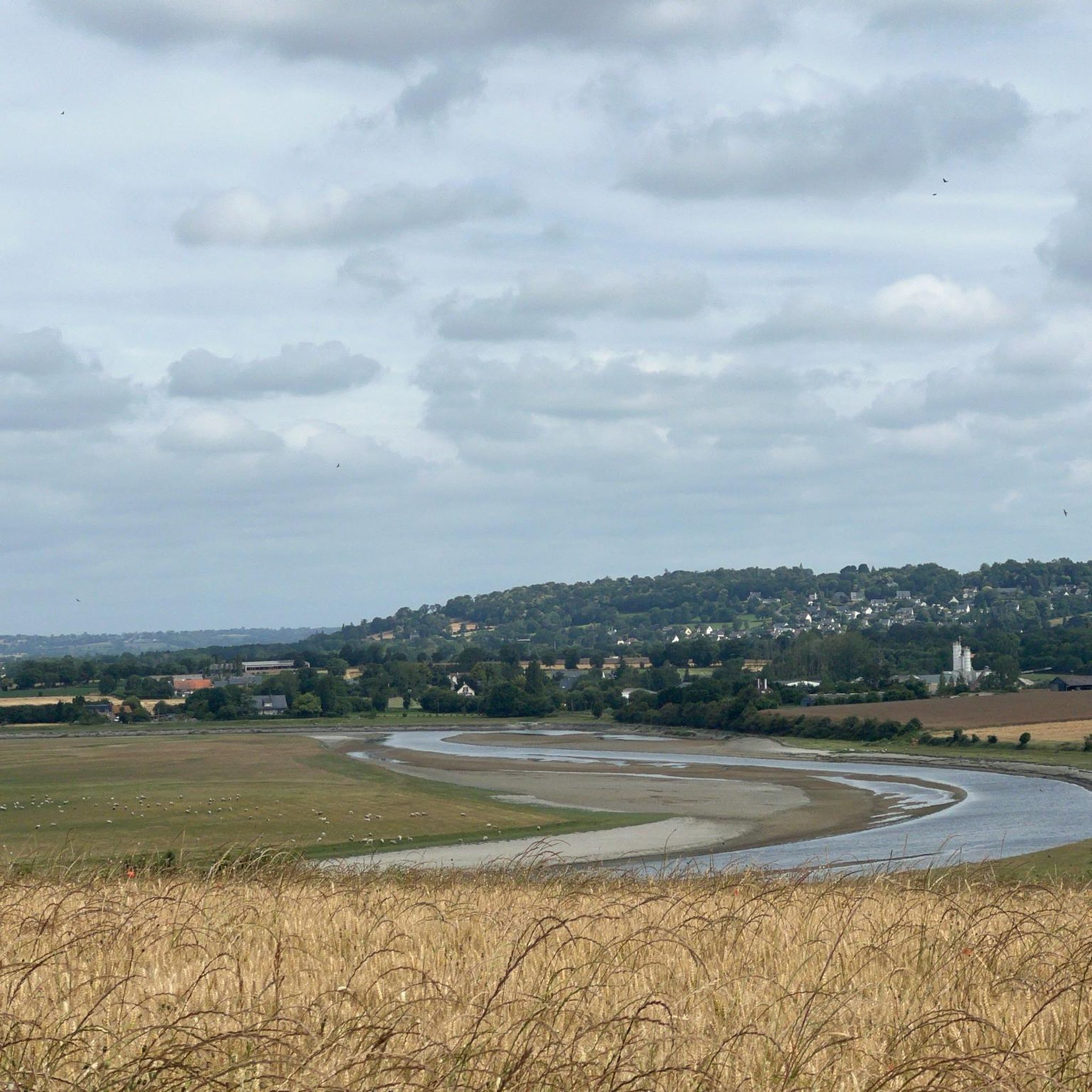
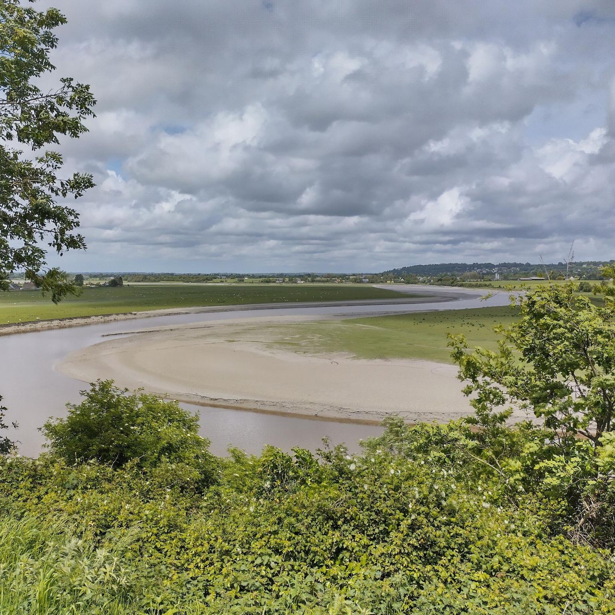
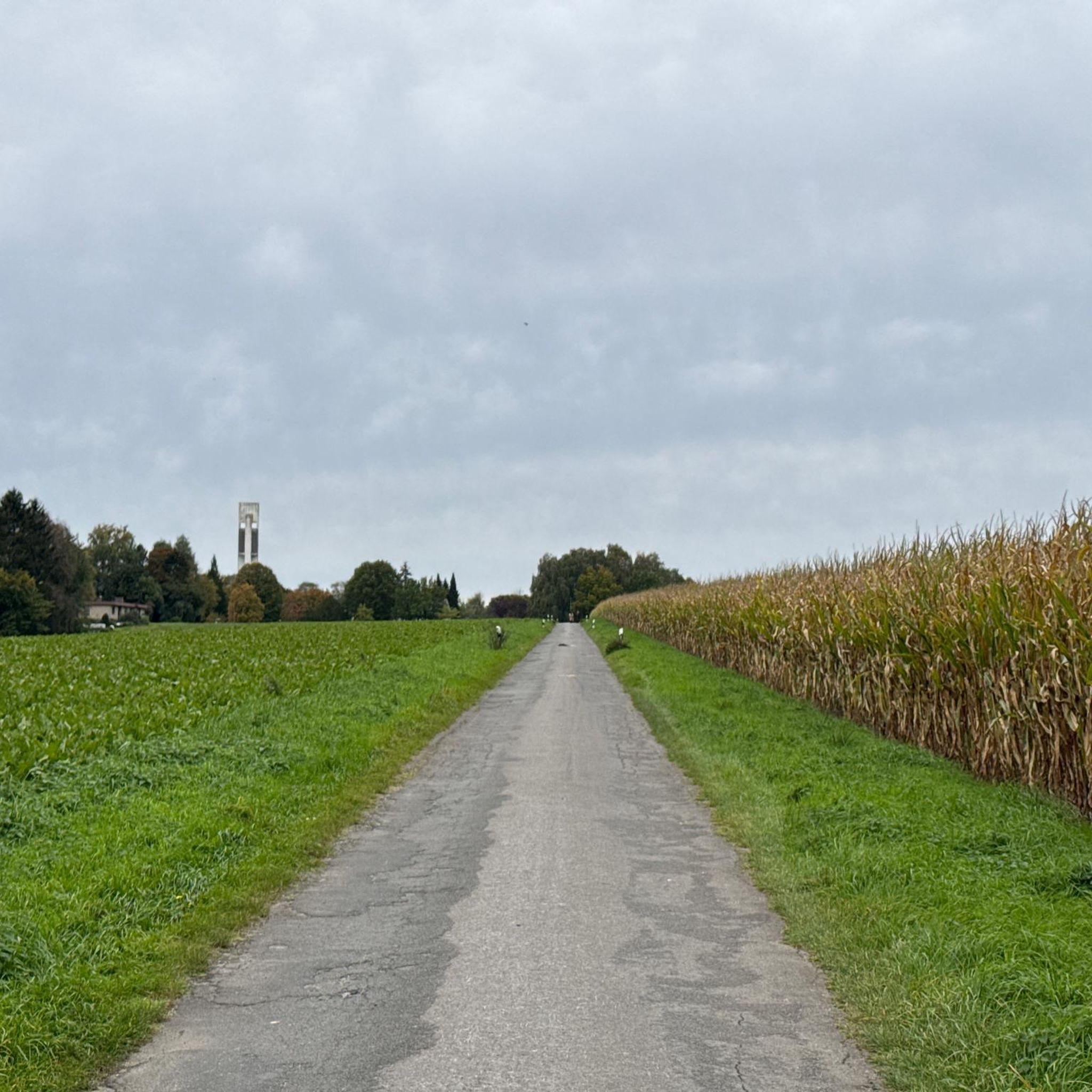
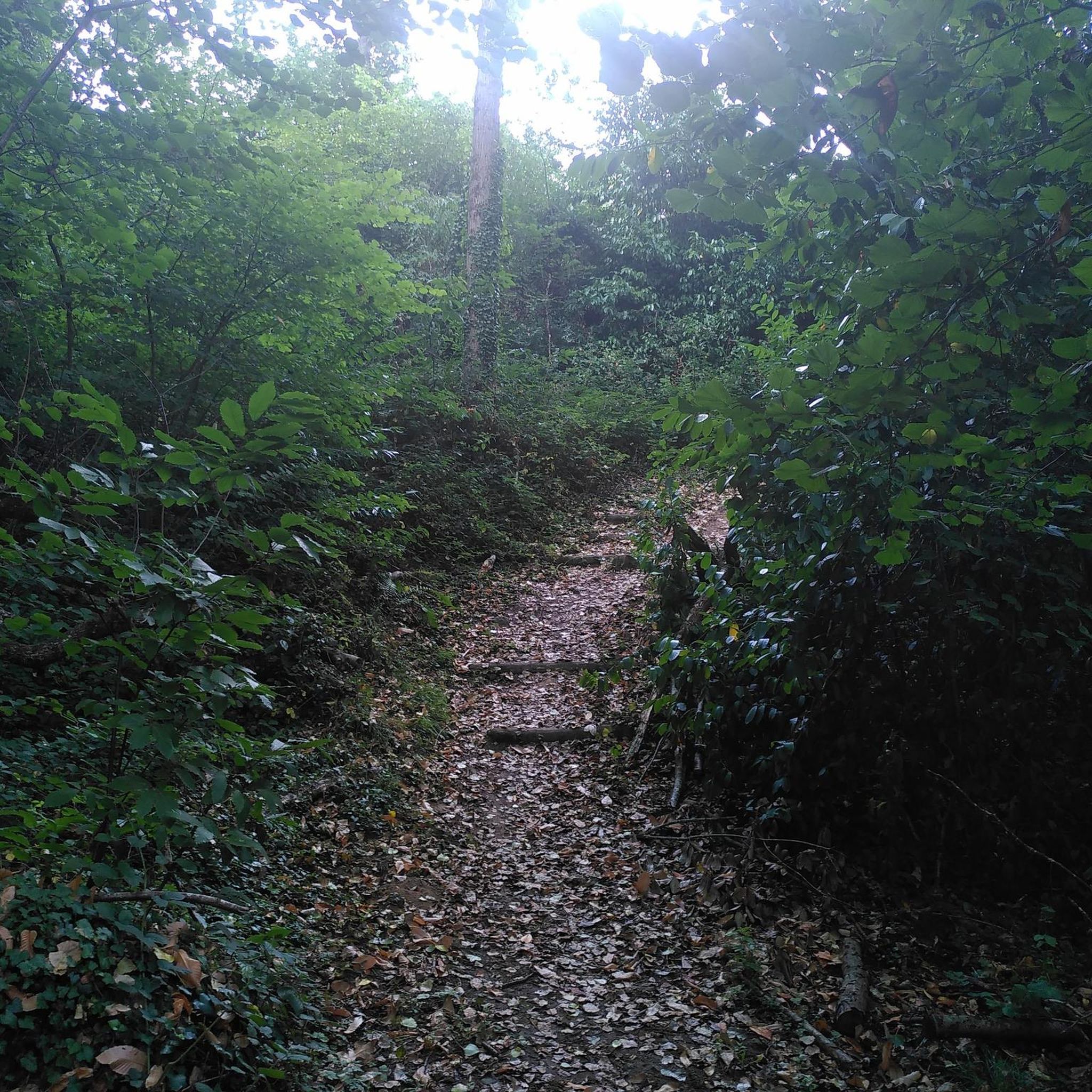
Tips from the Community

Lovely route, first along the coast on good cycle paths, then after the large car park via all sorts of narrow roads and villages back to the campsite in Ceaux.
0
0

Parts of the route along the sea do not exist or are forbidden for bicycles
0
0

This greenway between Mont Saint-Michel and Pontorson alternates between magnificent stretches with unobstructed views and shaded sections with bucolic charm. Away from road traffic, this section reveals the unique calm of nature.
0
0

beautiful avenue of weeping willows along the stream
0
0
beautiful avenue of mourning willows along the river
0
0


So peaceful. Soon you will be among the crowds visiting this iconic location but for now, it is just you and the moutons.
0
0

Beautiful route but there are no water points for the cans! Otherwise it's magnificent
0
0
Frequently Asked Questions
How many gravel bike trails are available around Saint-Hilaire-Du-Harcouët?
There are 10 gravel bike trails available around Saint-Hilaire-Du-Harcouët, offering a variety of experiences for different skill levels. These routes are highly rated by the komoot community.
What kind of terrain can I expect on gravel bike trails in Saint-Hilaire-Du-Harcouët?
The terrain around Saint-Hilaire-Du-Harcouët is diverse, featuring the picturesque Norman bocage with its hedgerows and woodlands. You'll find routes along the Airon and Sélune river valleys, dedicated greenways (voies vertes), and country roads. Some areas, particularly near the 'untamed heart of Armorican Normandy,' may include steeper hills and granite terrain.
Are there any easy or beginner-friendly gravel bike routes?
While most routes are classified as moderate, beginners can enjoy sections of the greenways. For a moderate introduction, consider the Old railway station – beautiful photo motif loop from Parigny, which is 19.7 miles (31.7 km) long and features scenic sections.
Where can I find challenging gravel bike trails in the region?
For a more challenging ride, explore routes that venture into the 'untamed heart of Armorican Normandy' with its steeper hills. The View of Mont Saint-Michel – The Couesnon at Beauvoir loop from Saint-Laurent-de-Terregatte is a difficult 60.8 miles (97.8 km) trail that leads through river valleys and offers significant elevation changes.
What natural features or landmarks can I see along the gravel bike trails?
Many trails offer scenic views of the Norman bocage and river valleys. You can also find routes with views of the iconic Mont Saint-Michel. Specific highlights include the Montgommery Castle, the charming town of Ducey, and the historic Old railway station. The Cance waterfalls are also a notable natural attraction in the wider region.
Are there any long-distance gravel cycling routes that pass through Saint-Hilaire-Du-Harcouët?
Yes, Saint-Hilaire-Du-Harcouët is a point of passage for significant cycling itineraries. The Voie verte de la Véloscénie, part of the Véloscénie route connecting Paris to Mont Saint-Michel, runs through the area. Another option is the Vélowestnormandy itinerary, which explores historical and cultural heritage over 200-230 km, utilizing greenways and country roads. You can find a route that incorporates the Véloscénie with the Voie verte de la Véloscénie – Old railway station loop from Ducey-les-Chéris.
What is the best time of year for gravel biking in Saint-Hilaire-Du-Harcouët?
The region's verdant Norman bocage, river valleys, and Prieuré lakes are particularly beautiful in spring, summer, and early autumn. These seasons generally offer pleasant weather for exploring the diverse landscapes and enjoying the natural attractions like the Cance waterfalls.
Are there any circular gravel bike routes available?
Yes, many of the gravel routes in the area are designed as loops. Examples include the Old railway station – beautiful photo motif loop from Parigny and the Cordon des druides – Former Parigné stop loop from Louvigné-du-Désert.
What do other gravel bikers enjoy most about the trails in Saint-Hilaire-Du-Harcouët?
The area is highly rated by the komoot community, with an average score of 5.0 stars. Reviewers often praise the varied terrain, the scenic beauty of the Norman bocage, and the well-maintained greenways that make for enjoyable rides. The presence of historical sites and views of Mont Saint-Michel also contribute to the positive experience.
Are there any routes that pass by Montgommery Castle?
Yes, you can explore the area around Montgommery Castle on a gravel bike. The Montgommery Castle – Voie verte de la Véloscénie loop from Ducey-les-Chéris is a moderate 44.9 miles (72.3 km) route that incorporates both the castle and sections of the Véloscénie greenway.
Is Saint-Hilaire-Du-Harcouët well-equipped for cyclists?
Yes, the region is well-equipped for cyclists. It serves as a passage point for major cycling routes like the Véloscénie and Vélowestnormandy, and features numerous greenways. The area even hosts an annual VTT/Gravel ride, indicating a strong local cycling culture. Bike rental options are also available in the vicinity.
Most popular routes around Saint-Hilaire-Du-Harcouët
Most popular attractions around Saint-Hilaire-Du-Harcouët

Get inspired with the komoot mobile app


Explore more
Browse the best Gravel rides in other regions.
