The best walks and hikes around Kiruna kommun
4.3
(1784)
10,292
hikers
151
hikes
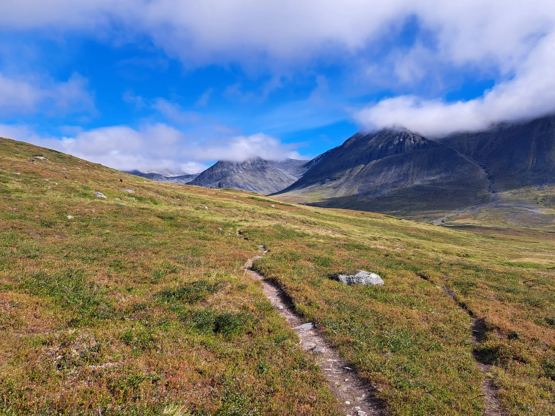
Hiking around Kiruna kommun offers an unparalleled wilderness experience within Swedish Lapland, characterized by dramatic Arctic landscapes and diverse natural features. The region encompasses vast mountain ranges, including the Kebnekaise Massif, and pristine national parks like Abisko. Hikers can explore deep valleys, extensive forests, and numerous clear lakes and rivers. This terrain provides a wide range of hiking opportunities, from challenging mountain ascents to more accessible trails through varied ecosystems.
Best hiking trails around Kiruna kommun
- The most popular hiking…
Last updated: October 8, 2026
4.7
(33)
427
hikers
11.8km
03:11
100m
220m
Moderate hike. Good fitness required. Easily-accessible paths. Suitable for all skill levels.
4.8
(40)
366
hikers
10.3km
03:13
400m
400m
Moderate hike. Good fitness required. Easily-accessible paths. Suitable for all skill levels.

3.9
(38)
193
hikers
7.85km
02:21
230m
230m
Moderate hike. Good fitness required. Easily-accessible paths. Suitable for all skill levels.
4.8
(410)
1,910
hikers
Easy hike. Great for any fitness level. Easily-accessible paths. Suitable for all skill levels.
4.6
(62)
342
hikers
13.2km
03:35
130m
130m
Moderate hike. Good fitness required. Mostly accessible paths. Sure-footedness required.
Get access to more routes and recommendations from other explorers.
Already have an account?
Our route recommendations are based on thousands of hikes, rides, and runs completed by other people on komoot.
Start today with a free account
Your next adventure awaits.
Popular around Kiruna kommun
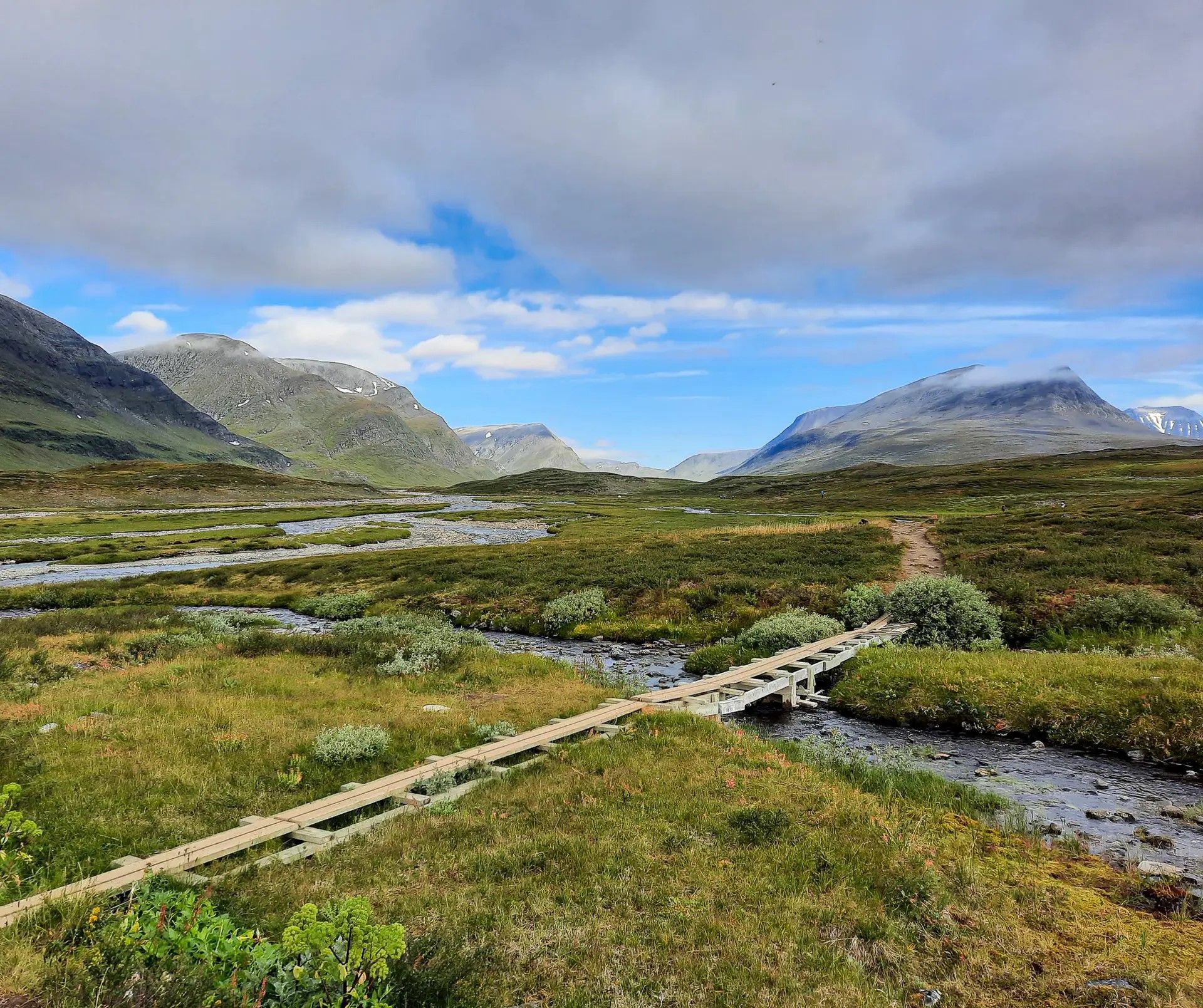
Kungsleden – In seven stages from Abisko to Nikkaluokta
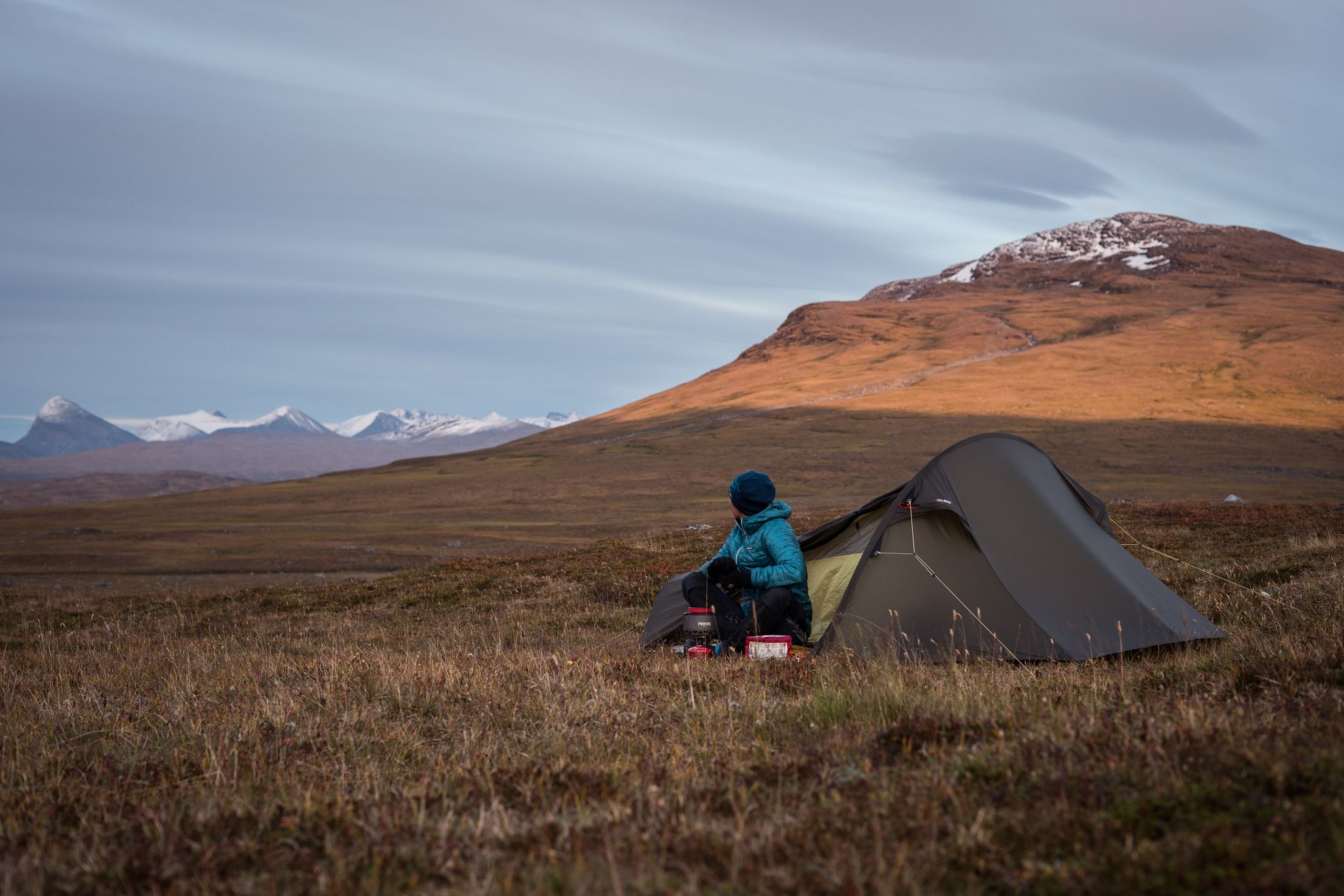
The Nordkalottleden — At the edges of the polar circle
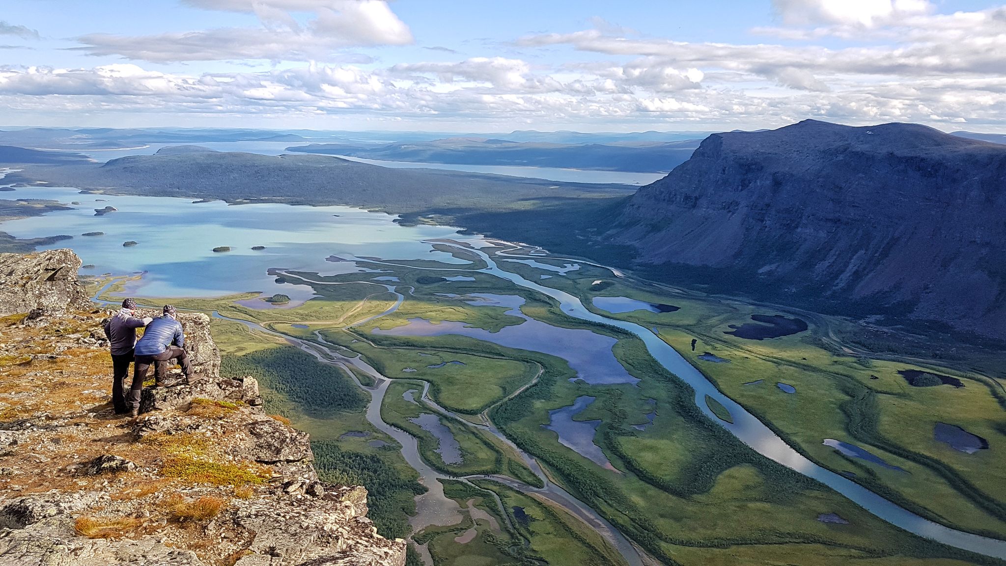
Kungsleden – On the road to the kings of Sweden
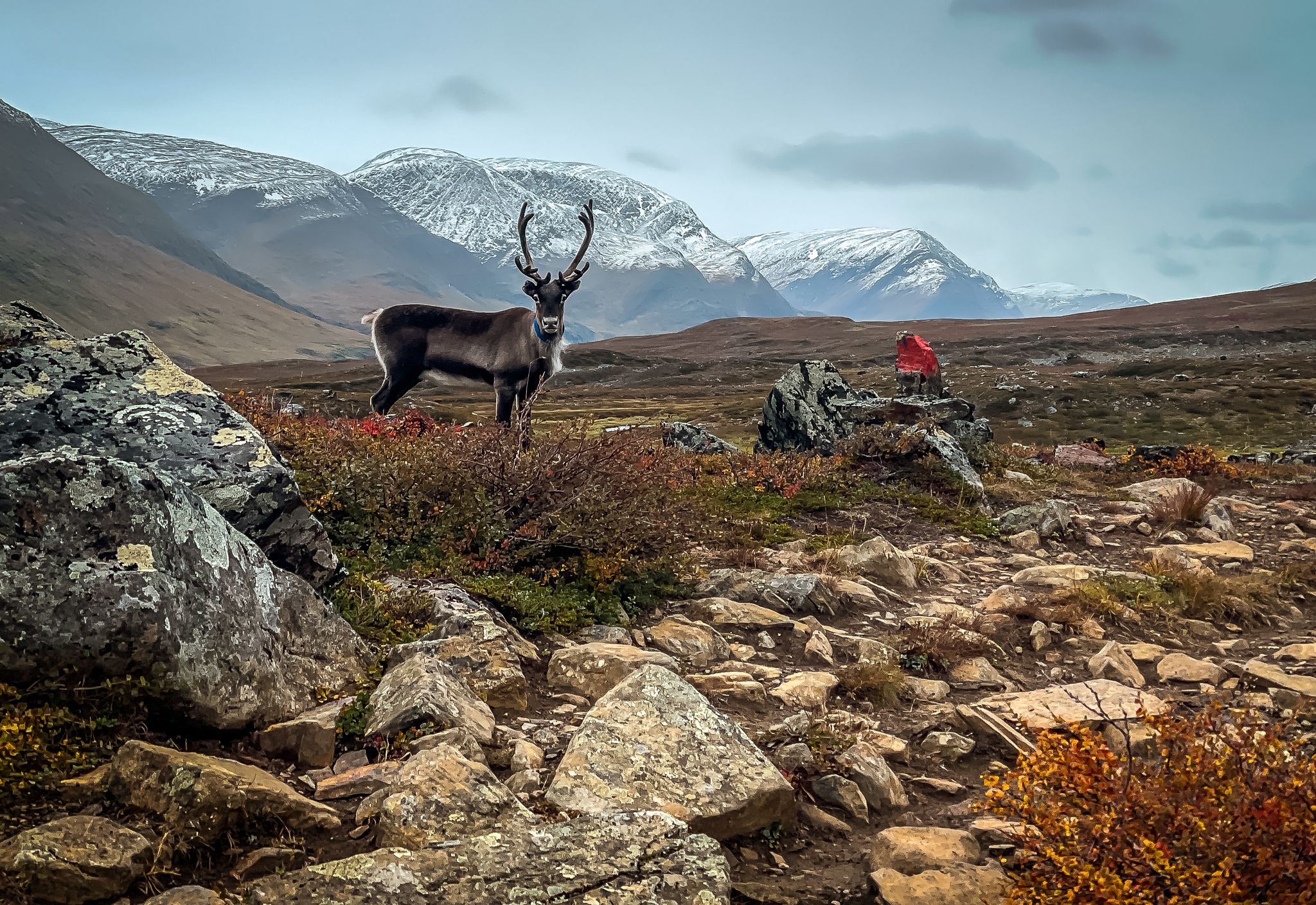
Kungsleden — Trekking in Swedish Lapland
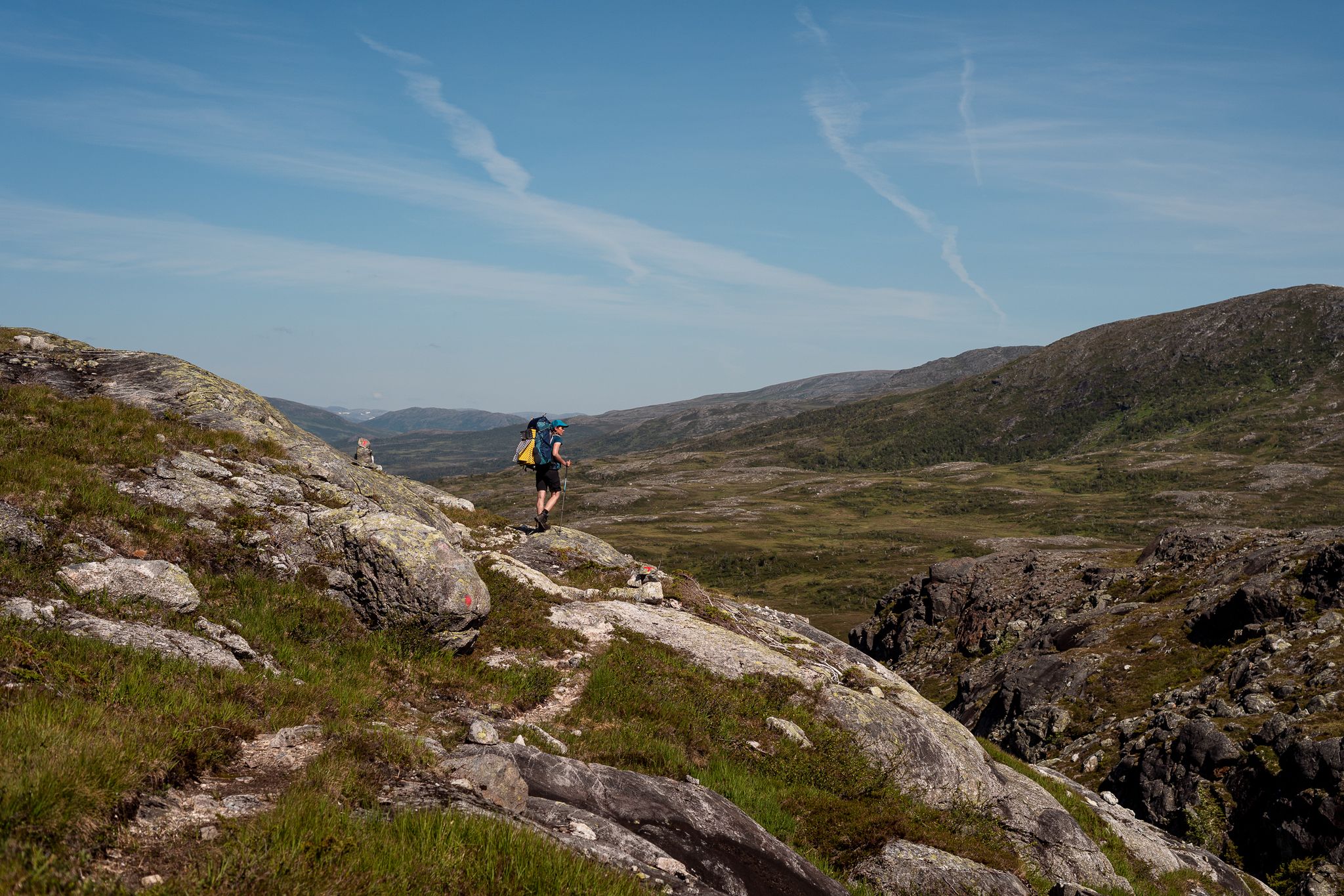
Norge på Langs – The length of spectacular Norway on foot
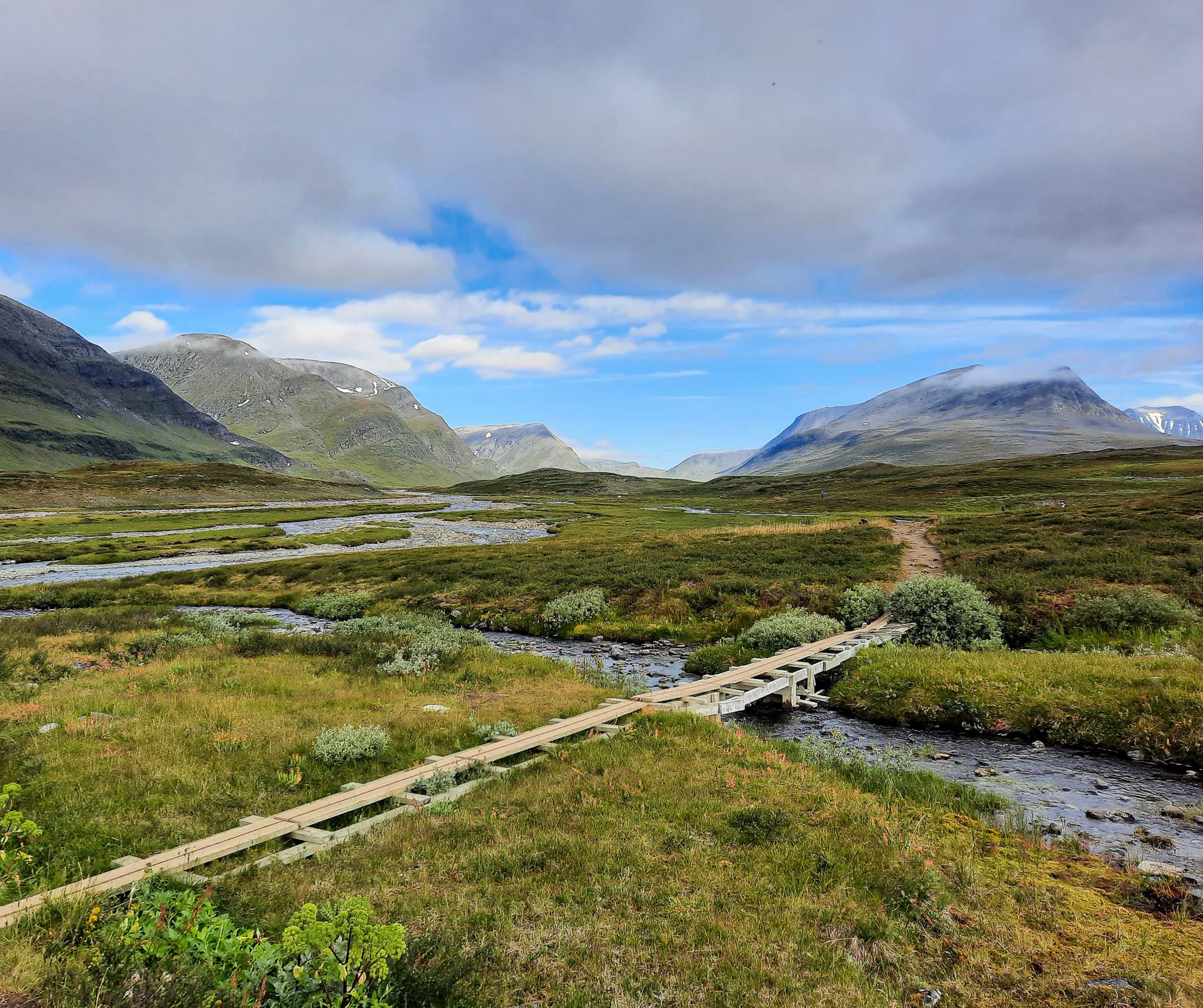
Kungsleden – In 7 stages from Abisko to Nikkaluokta
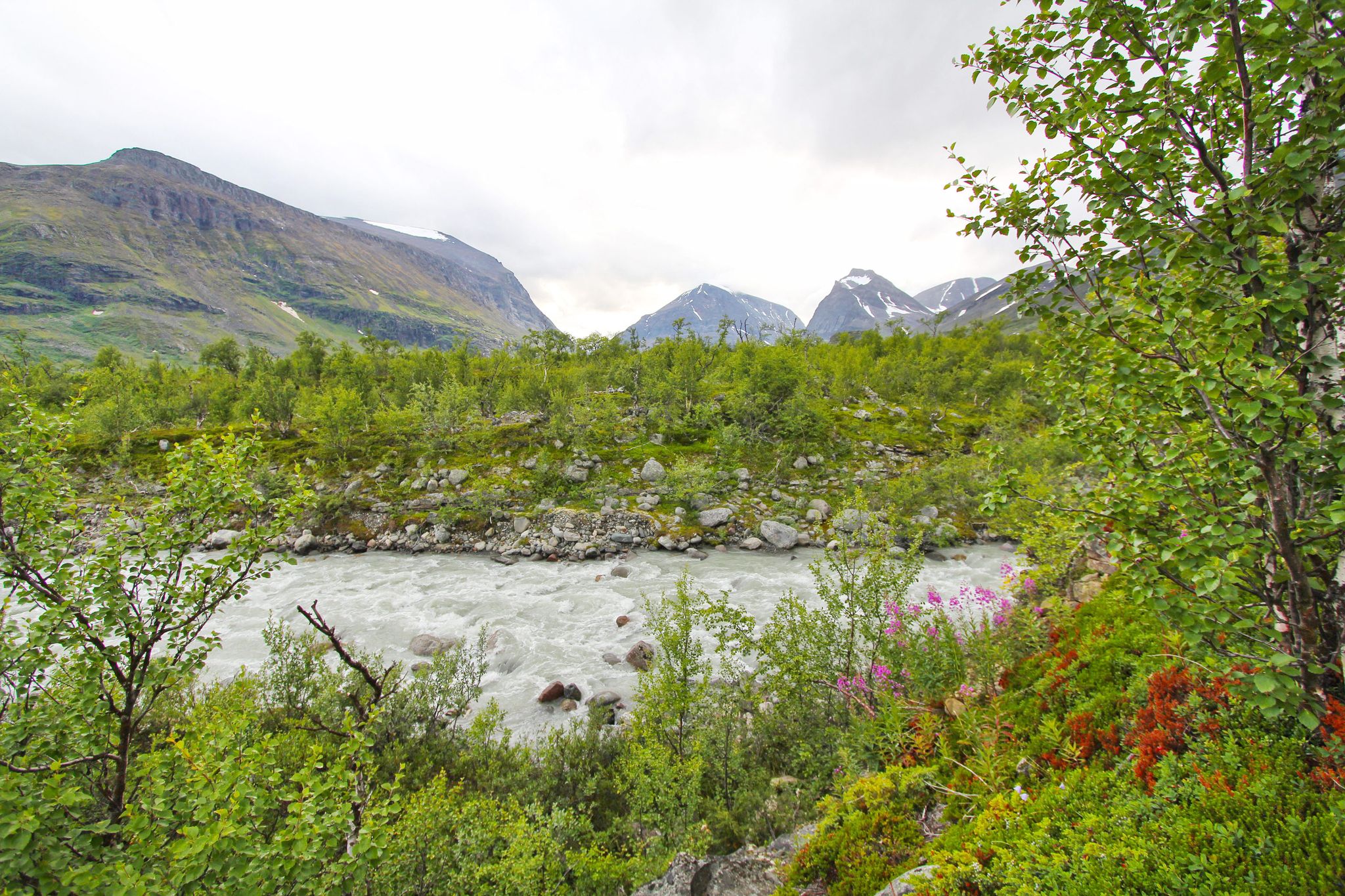
Nikkaluokta to Ritsem – a Swedish Lapland adventure
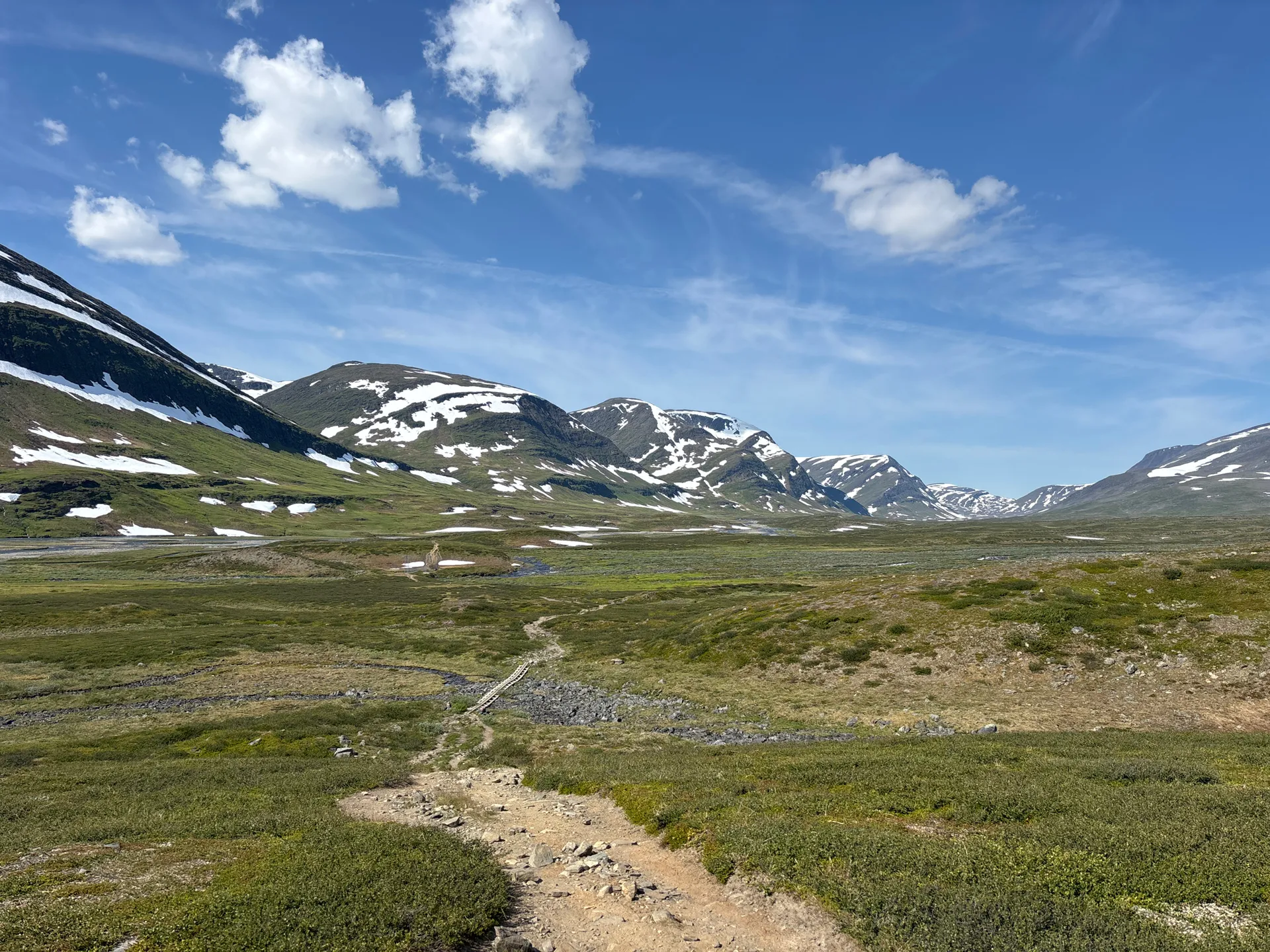
Kebnekaise circuit – six days in Sweden’s untamed north
Along untamed Arctic trails – Land of Giants

European Divide Trail — 7,600 km across the continent
Other adventures around Kiruna kommun


Tips from the Community

The Joik in the underpass makes the start or end of the Kungsleden even a little more special.
0
0


the tunnel walls are decorated with reindeer drawings, and from the tape one hears joiking, creating a mystical atmosphere. Unfortunately, I didn't photograph the artist's name
1
0


The fence is here for a good reason; the drop down into the quarry is substantial. The footpath runs alongside the fence and is a good marker for you if the weather is poor or the visibility bad.
0
0
There is a substantial section of wooden stairway here. It is all pretty solid and well made. The extra height you gain makes a difference because you can look out over the forest from here and get great views back down the valley towards Kiruna.
0
0
The midnight sun trail at Kiruna is a great option for you if you just want to get out and enjoy some fresh air and nature. The trail is about 4.3 kilometres long and goes through a beautiful birch forest. There is a bit of height gain, but it is not too bad. The trail is well marked with wooden signs. You will see a sun symbol marked with “Midnattssolstigen”.
0
0

Outstandingly beautiful view, easy to reach! :)
0
0
Frequently Asked Questions
How many hiking trails are available in Kiruna kommun?
Kiruna kommun offers a vast network of over 150 hiking trails. These range from easy walks to challenging multi-day treks, catering to various experience levels.
What kind of terrain can I expect when hiking in Kiruna kommun?
You can expect dramatic Arctic landscapes, including vast mountain ranges like the Kebnekaise Massif, deep valleys, and pristine national parks such as Abisko. The terrain features extensive forests, open mountain moors, and numerous clear lakes and rivers. It's a true wilderness experience with diverse ecosystems.
What is the best time of year to go hiking in Kiruna kommun?
The summer months, typically from June to September, are ideal for hiking in Kiruna kommun. During this period, you can experience the Midnight Sun, offering continuous daylight for extended hikes. The trails are generally free of snow, and the weather is milder. For winter hiking, specialized gear and experience are necessary due to snow and cold.
Are there easy hiking trails suitable for beginners in Kiruna kommun?
Yes, Kiruna kommun has many easy trails perfect for beginners. For example, the Abiskojåkka Canyon – Meditation spot Abiskojokk loop from Abisko Turiststation is an easy 4.4-mile (7.1 km) route that guides hikers through a scenic canyon to a tranquil spot. There are over 70 easy routes available.
Are there any circular hiking routes in Kiruna kommun?
Yes, many trails in Kiruna kommun are designed as loops. For instance, the Sami Singing Tunnel Murals – Meditation spot Abiskojokk loop from Abisko is a moderate 4.6-mile (7.5 km) circular path that combines natural beauty with cultural insights. Another option is the more challenging Bridge over Ballinjokka – Suspension bridge loop from Abisko Turiststation, a 15.5-mile (25.0 km) loop featuring a notable suspension bridge.
What natural landmarks or attractions can I see while hiking in Kiruna kommun?
Hikers can discover several notable landmarks. The Abiskojåkka Canyon is a popular and accessible feature. You might also encounter the iconic Lapporten, a U-shaped valley in Abisko National Park, or even reach the Three-Country Cairn (Treriksröset), where Sweden, Norway, and Finland meet.
Can I find any unique natural features like Sweden's clearest lake on a hike?
Yes, you can hike to Trollsjön (Rissajaure), known as Sweden's clearest lake, boasting an impressive visibility depth of 36 meters. It can be reached via a 10 km round trip hike, offering a truly unique natural experience.
Are there options for multi-day hikes with accommodation in Kiruna kommun?
Absolutely. Kiruna kommun is a key gateway to the northern section of the Kungsleden (King's Trail), one of Europe's most famous long-distance hiking trails. The popular stretch from Abisko to Nikkaluokta typically takes about seven days and features mountain huts for accommodation, such as STF Abiskojaure Mountain Cabin and STF Alesjaure Mountain Hut.
Is public transport available to reach hiking trailheads in Kiruna kommun?
Yes, public transport options are available, particularly to popular areas like Abisko National Park. The Abisko Turiststation, for example, is a common starting point for many trails and is accessible by train. It's advisable to check local transport schedules for specific routes and times.
What should I know about hiking with dogs in Kiruna kommun?
Hiking with dogs is generally permitted in Kiruna kommun, but specific rules apply, especially within national parks like Abisko. Dogs must typically be kept on a leash to protect wildlife and ensure the safety of other hikers. Always check the regulations for the specific trail or area you plan to visit.
Are there family-friendly hiking trails in Kiruna kommun?
Many trails in Kiruna kommun are suitable for families. The region offers a variety of easy and moderate routes with relatively flat terrain and shorter distances. These trails allow families to enjoy the Arctic nature, spot wildlife, and experience the unique environment safely. Always check the difficulty and length of a route to ensure it matches your family's capabilities.
What do other hikers say about their experiences in Kiruna kommun?
The hiking routes in Kiruna kommun are highly rated by the komoot community, with an average score of 4.4 stars from more than 1,700 reviews. Hikers often praise the stunning Arctic wilderness, the well-maintained trails, and the unique experience of hiking under the Midnight Sun during summer. Many appreciate the diverse options, from easy walks to challenging mountain ascents.
Are there any specific permits or regulations I need to be aware of for hiking in Kiruna kommun?
While most areas in Kiruna kommun are freely accessible, specific regulations apply within national parks, such as Abisko National Park. These may include rules regarding camping, open fires, and waste disposal. For certain multi-day treks or stays in mountain huts, booking in advance or obtaining permits might be necessary. Always check the official guidelines for the specific area you plan to visit.
Most popular routes around Kiruna kommun
Most popular attractions around Kiruna kommun

Get inspired with the komoot mobile app


Explore more
Browse the best Hikes in other regions.
