The best walks and hikes around Värmdö
4.6
(637)
2,922
hikers
110
hikes
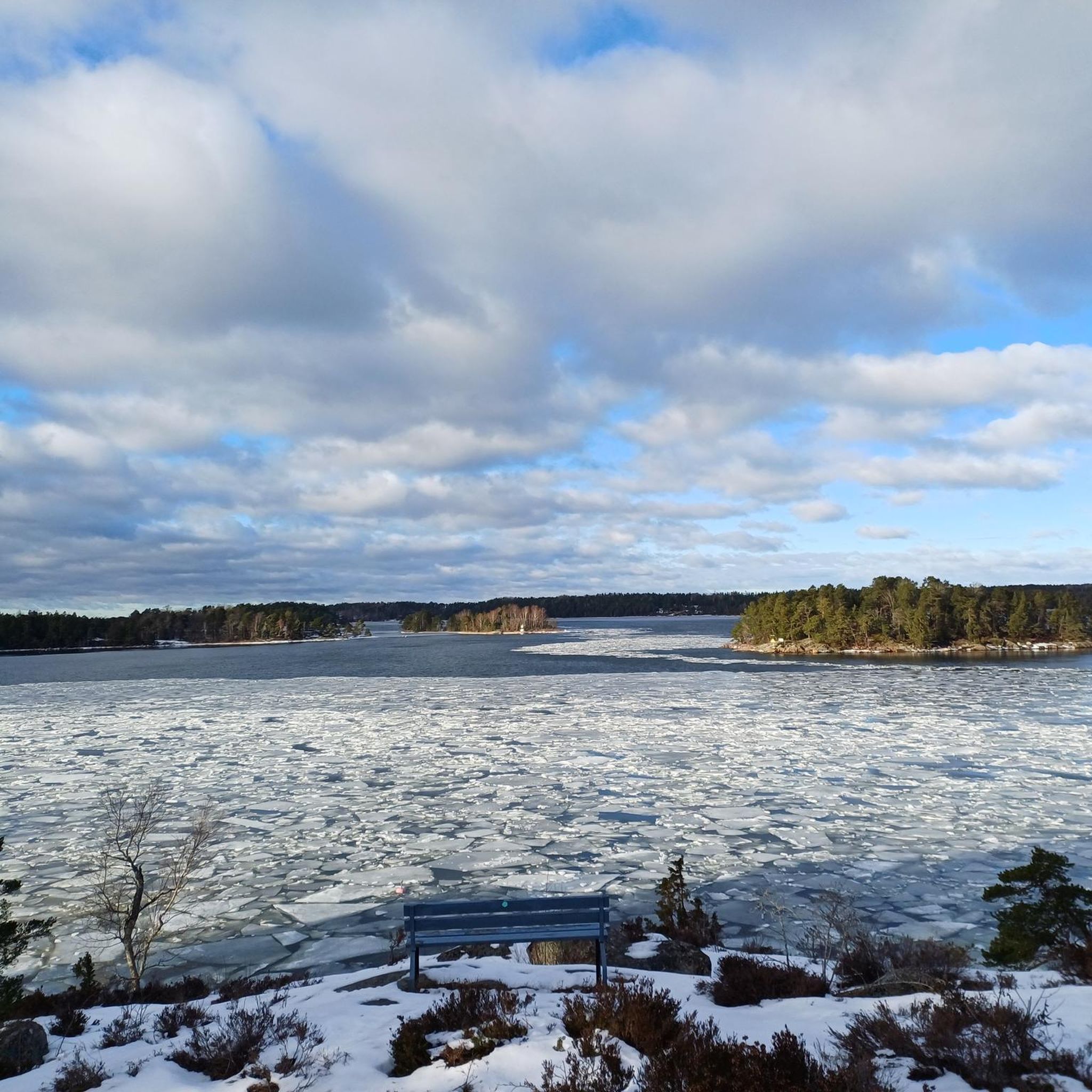
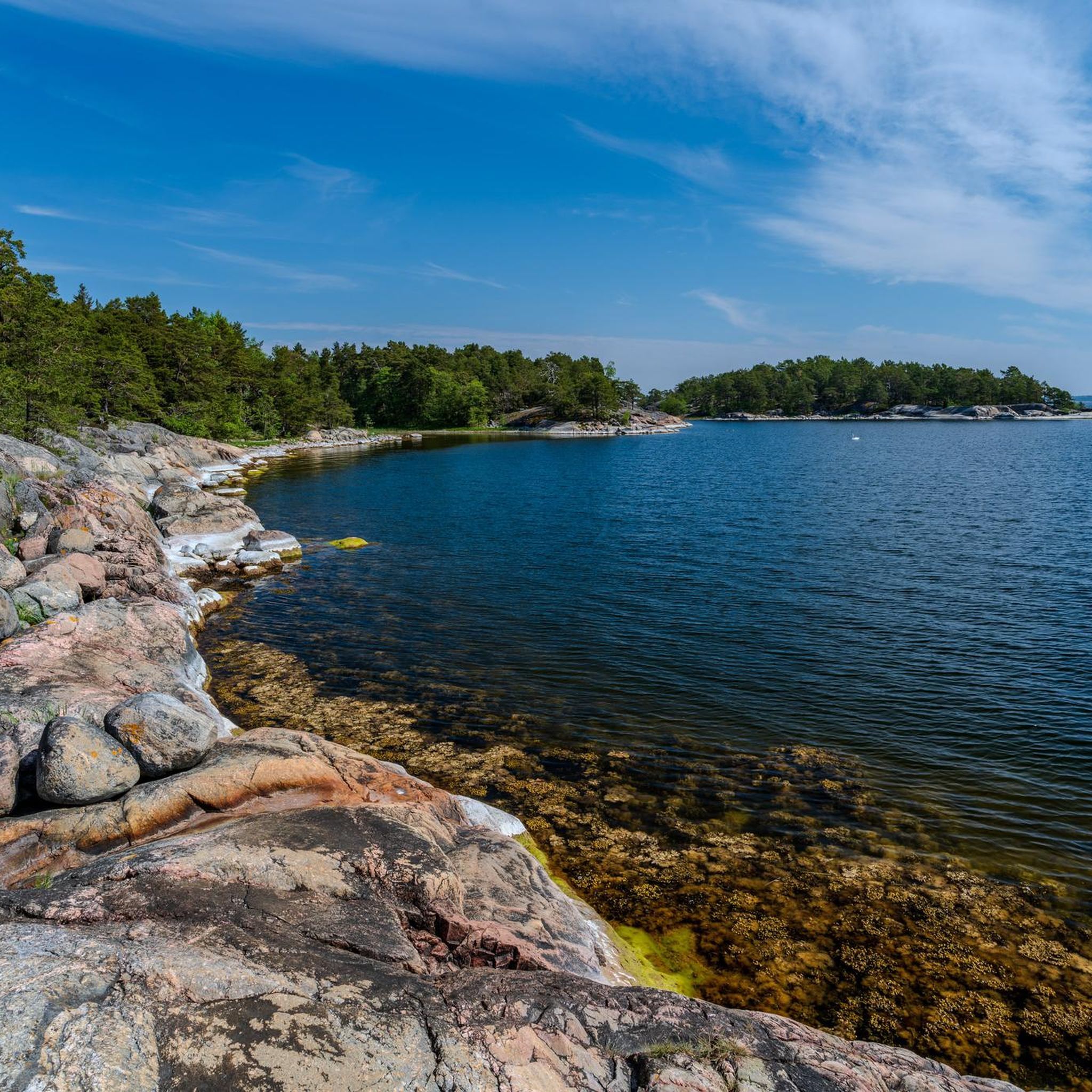
Hiking around Värmdö offers diverse natural beauty within the Stockholm archipelago, characterized by a blend of pine forests, rugged coastlines, and serene lakes. The landscape features numerous islands, providing expansive sea views and varied island scenery. Several nature reserves, including Björnö, protect these environments and offer well-maintained trails. Inland, the municipality includes lakes and varied terrain, ensuring a range of hiking experiences.
Best hiking trails around Värmdö
- The most popular hiking route is Grinda (Central Archipelago) — Stockholm Archipelago Trail…
Last updated: October 8, 2026
4.6
(122)
539
hikers
8.48km
02:16
100m
100m
Moderate hike. Good fitness required. Easily-accessible paths. Suitable for all skill levels.
4.7
(102)
436
hikers
7.81km
02:05
90m
90m
Moderate hike. Good fitness required. Easily-accessible paths. Suitable for all skill levels.

4.9
(73)
285
hikers
7.74km
02:01
60m
60m
Moderate hike. Good fitness required. Easily-accessible paths. Suitable for all skill levels.
4.7
(66)
288
hikers
7.55km
01:57
40m
40m
Easy hike. Great for any fitness level. Easily-accessible paths. Suitable for all skill levels.
4.7
(50)
176
hikers
6.46km
01:40
40m
40m
Easy hike. Great for any fitness level. Easily-accessible paths. Suitable for all skill levels.
Get access to more routes and recommendations from other explorers.
Already have an account?
Our route recommendations are based on thousands of hikes, rides, and runs completed by other people on komoot.
Start today with a free account
Your next adventure awaits.



Tips from the Community

The Södra Grinda ferry pier is one of the island's most important arrival and departure points, regularly connecting Grinda with Stockholm and other destinations in the archipelago. Right on the water, it offers a beautiful view of passing ships, the surrounding islands, and the typical coastal landscape. For hikers, the pier is an ideal starting or ending point for a loop through the Grinda nature reserve.
3
0
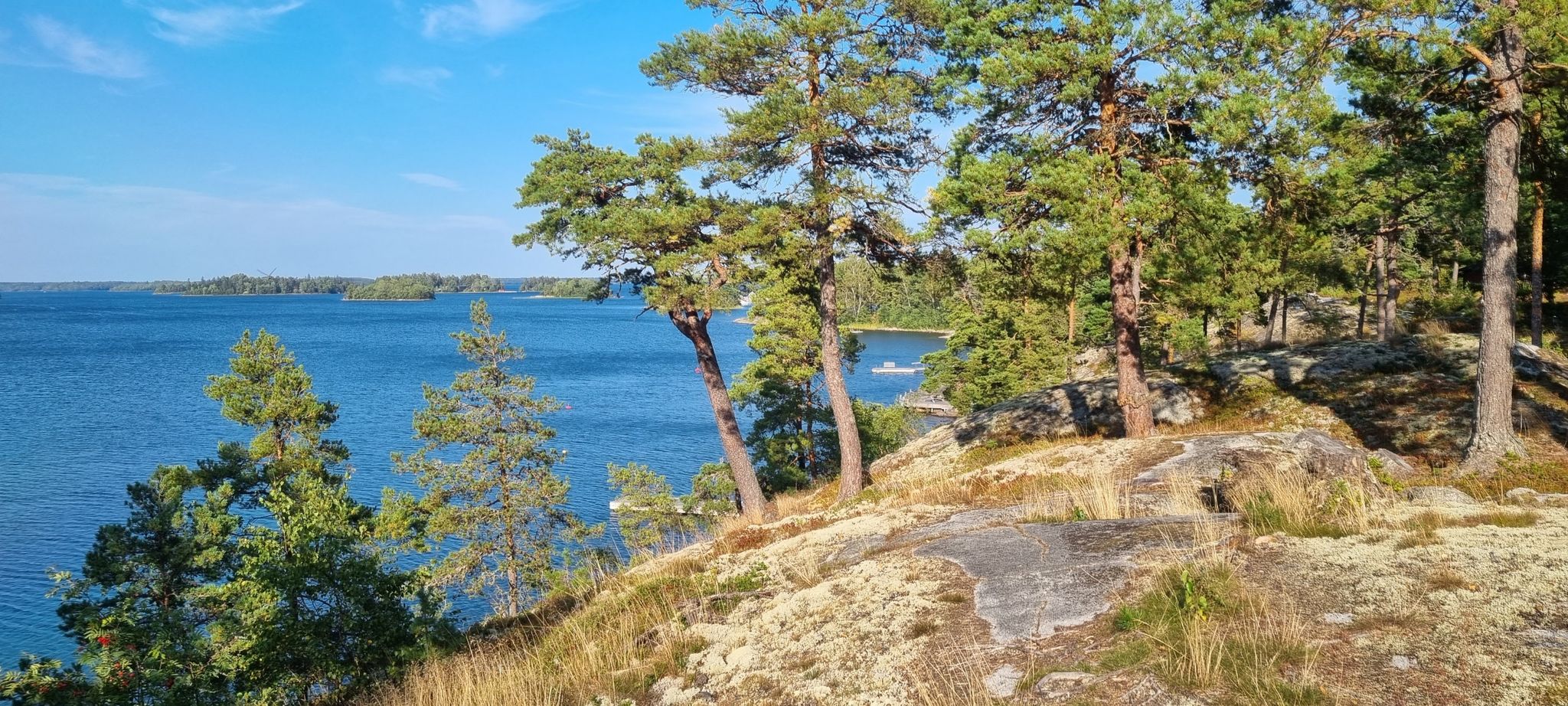
The viewpoint on the south coast of Grinda offers a wide view over the Baltic Sea and the outer islands of the Stockholm archipelago. From the open granite rocks, you can particularly beautifully overlook the typical combination of sea, forest, and small skerries. The place is ideal for a short break and is one of the most scenic spots on an island hike across Grinda.
3
0
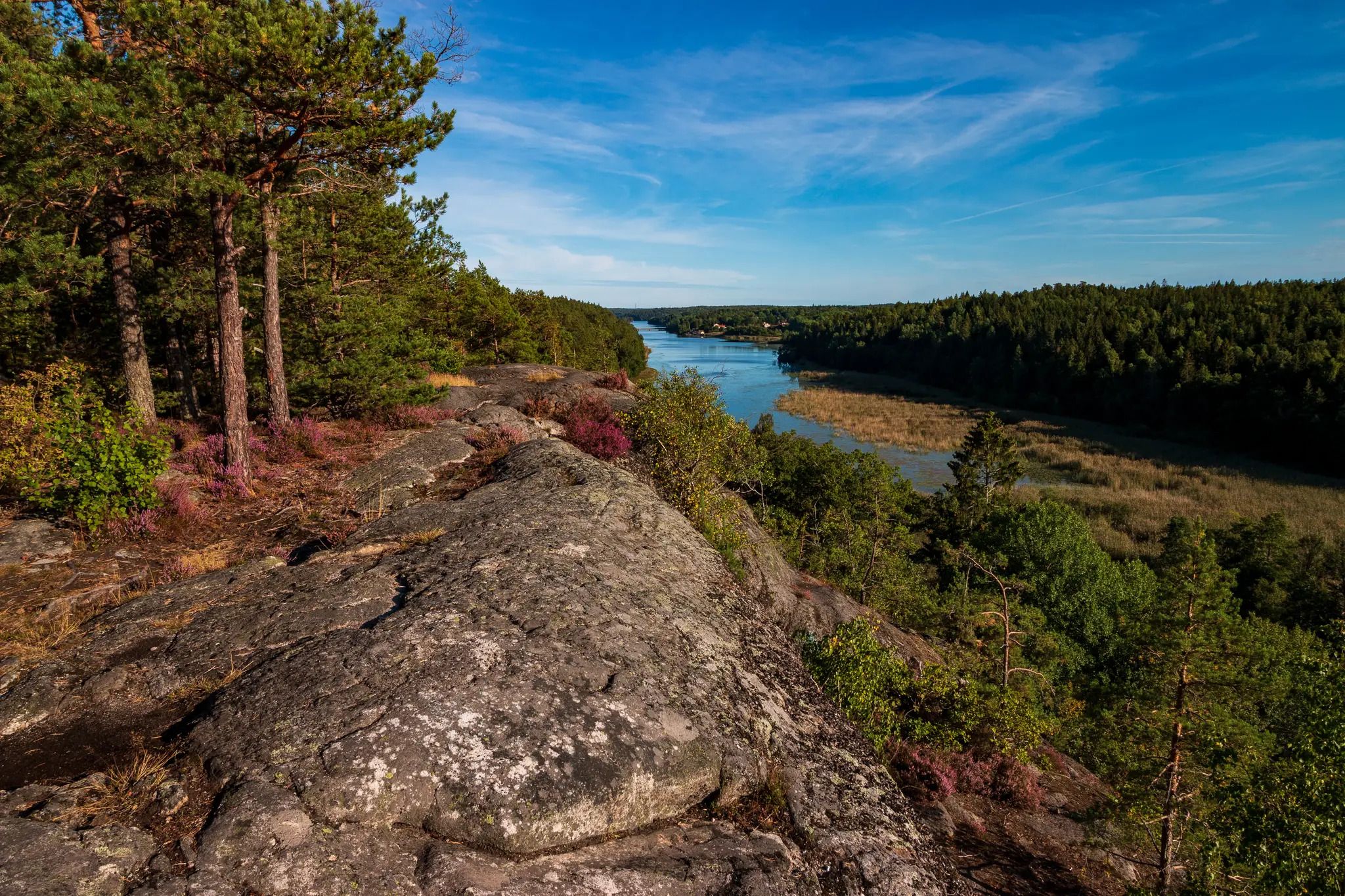
The Grinda Westweg leads through the western part of the island and offers a varied mix of forest paths, rocky coastal sections, and open views of the Stockholm archipelago. Beautiful perspectives of small bays, offshore islands, and the vast expanse of water repeatedly emerge. The alternation between quiet forest passages and the open granite rocks directly on the coast is particularly charming.
4
0
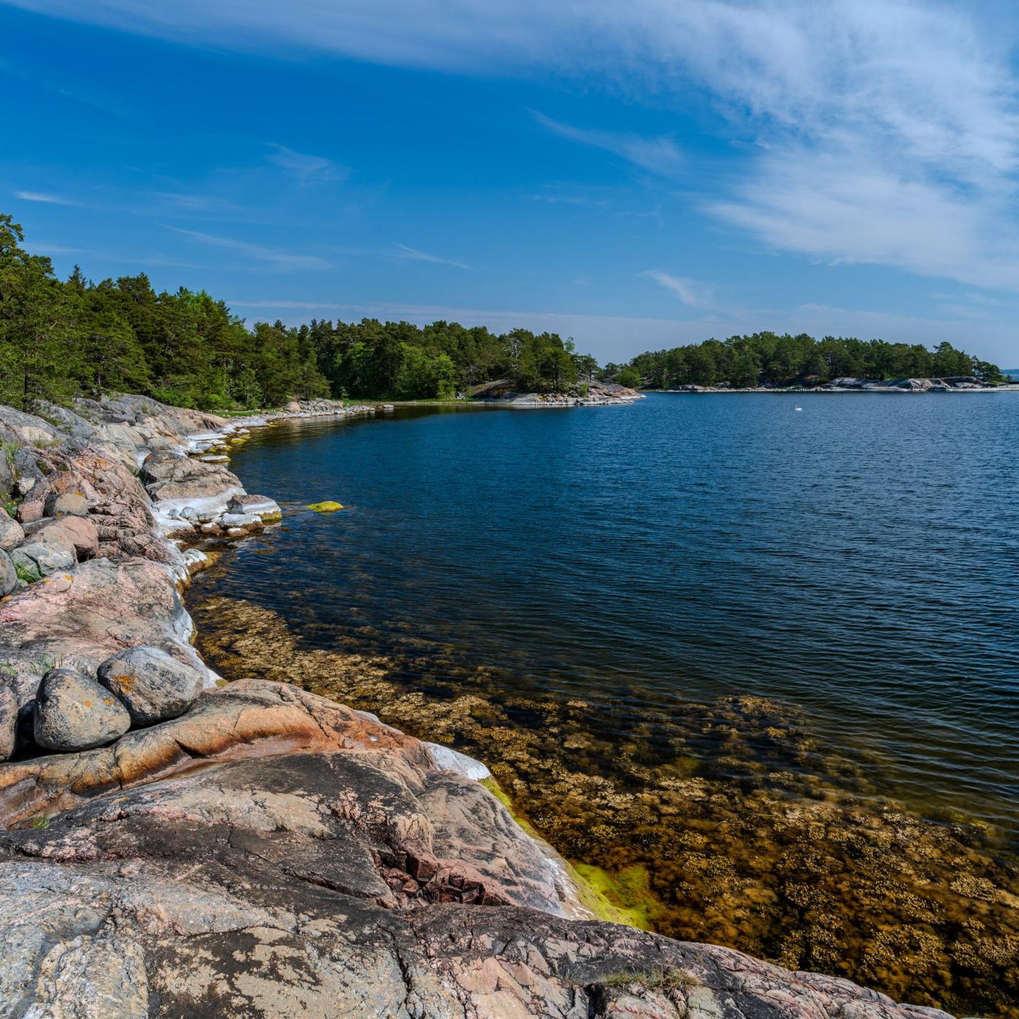
Källviken Beach on Grinda is a small, sheltered swimming spot in a quiet bay in the Stockholm archipelago. The combination of shallow shores, forest, rocks, and views of the water makes it a pleasant place for a break or a swim during an island hike. Especially in good weather, the bay, with its secluded location, conveys a very relaxed and typically Swedish archipelago feeling.
1
0
The Grinda Lanthandel & Café is a small island shop with a café and a practical supply option for visitors to Grinda. Here you can buy drinks, snacks, and small groceries for a hike or a picnic, and at the same time the place offers a cozy break. Due to its location near the central paths and jetties, the Lanthandel is a pleasant stopover during a tour of the nature reserve.
4
0
Grinda guest harbor is one of the central meeting points for boats on the island and is located protected in the archipelago landscape. Around the harbor, especially in summer, there is a lively maritime atmosphere, while at the same time beautiful views of sailboats, rocks, and the surrounding islands open up. For hikers, the harbor is an attractive stopover and a good starting point for exploring further parts of the Grinda nature reserve.
3
0
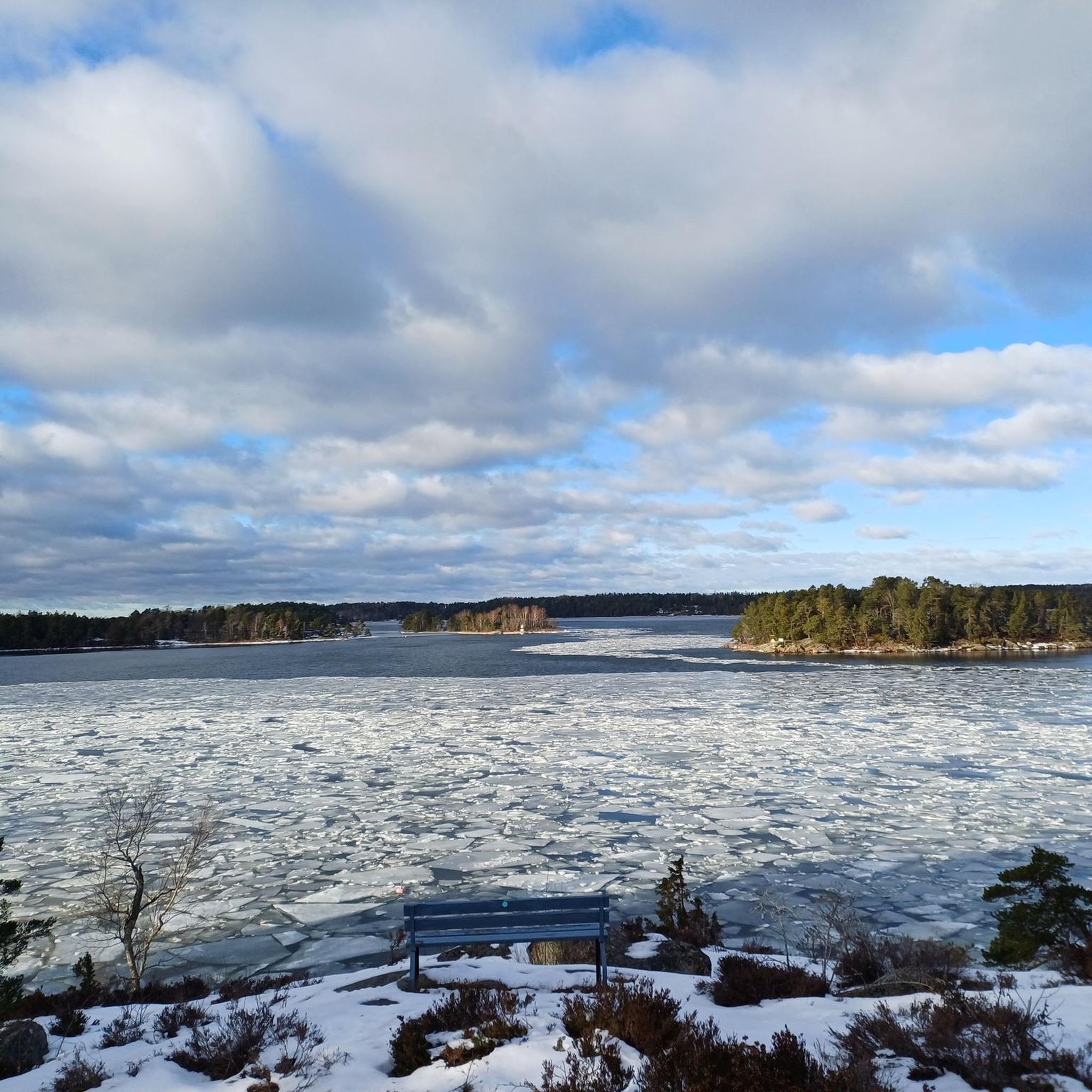
The Grinda Nordweg leads through the quieter northern part of the island, connecting narrow forest paths, rocky sections, and open areas with views of the Stockholm archipelago. Along the way, dense vegetation, small bays, and typical granite rocks alternate, making the trail very varied despite the small elevation differences. The quiet atmosphere, far from the more frequented landing stages and excursion areas, is particularly charming.
1
0
The fireplace in the northern Grinda nature reserve offers a simple resting place amidst the typical archipelago landscape of forest, rocks, and sea. It is well-suited for a longer break during an island hike and is pleasantly quiet, away from the more frequented areas. When using the fireplace, current local fire safety regulations and possible fire bans should always be observed.
3
0
Frequently Asked Questions
How many hiking trails are available in Värmdö?
Värmdö offers a wide network of over 110 hiking routes. These trails cater to various skill levels, with 66 easy, 38 moderate, and 7 more challenging options, ensuring there's a suitable path for almost every hiker.
What kind of terrain can I expect on Värmdö's hiking trails?
The terrain in Värmdö is incredibly diverse, characterized by a stunning blend of pine forests, rugged coastlines, and serene lakes. You'll find paths winding through picturesque forests that often open up to expansive sea views, as well as trails traversing varied landscapes with inland lakes and archipelago environments.
Are there any family-friendly hiking options in Värmdö?
Yes, Värmdö has many easy paths suitable for all skill levels, including families. The municipality's diverse landscape means you can find routes that are not too strenuous, allowing everyone to enjoy the natural beauty. Many trails offer resting places and opportunities to enjoy beaches or picnic spots.
Can I bring my dog on the hiking trails in Värmdö?
Generally, dogs are welcome on Värmdö's hiking trails, but it's important to keep them on a leash, especially within nature reserves and during certain seasons to protect wildlife. Always check local regulations for specific areas you plan to visit.
Are there trails with good viewpoints in Värmdö?
Absolutely. Värmdö offers several trails with rewarding viewpoints. For instance, the Björnö Trail provides views of Lake Mälaren and fjords from Björnö Tower. Additionally, locations like Västerudden Viewpoint, accessible through pine forests on Sandhamn, offer panoramic vistas of the archipelago.
What natural attractions or landmarks can I see while hiking in Värmdö?
While hiking in Värmdö, you can explore diverse natural features and cultural landmarks. The region is home to several nature reserves, including Björnö Nature Reserve, known for its mix of archipelago nature and open sea. You might also encounter unique natural monuments like God the Father on the Rainbow or the Forest Fire Trail (1999) — Tyresta National Park. The Stockholm Archipelago Trail - Section Grinda also offers diverse island scenery.
Are there circular hiking routes available in Värmdö?
Yes, Värmdö features several circular hiking routes that allow you to start and end at the same point. Popular options include the Björnö Trail, Tjustviksrundan, and Ösbyrundan, which are designed to showcase the region's varied landscapes in a convenient loop.
How can I get to the hiking trails in Värmdö using public transport?
Värmdö is well-connected to Stockholm, making many trailheads accessible by public transport. Buses serve various parts of the municipality, and some islands on the Stockholm Archipelago Trail are reachable by ferry. For detailed public transport information and planning your journey, it's best to consult local transport providers.
Is parking available near the trailheads?
Yes, parking is generally available near many of Värmdö's popular trailheads, especially at nature reserves like Björnö. However, during peak seasons or on weekends, parking lots can fill up quickly, so arriving early is advisable. Some areas might have designated parking fees.
What is the best time of year to go hiking in Värmdö?
The best time for hiking in Värmdö is typically from spring through autumn (May to October). During these months, the weather is milder, and the natural scenery, from blooming wildflowers to vibrant autumn colors, is at its most beautiful. Summer offers longer daylight hours and opportunities for swimming at the many beaches.
Are there any challenging hikes for experienced trekkers?
While Värmdö is known for its accessible trails, there are also more challenging options for experienced trekkers. The municipality offers 7 difficult routes, which might involve more rugged terrain, longer distances, or greater elevation changes. These trails provide a good test of fitness and sure-footedness while still offering stunning views.
Where can I find amenities like cafes or resting spots along the trails?
Many trails in Värmdö, especially within nature reserves and along popular routes like the Stockholm Archipelago Trail, feature designated resting places. You can also find wood-fueled grills for preparing food. For cafes and more substantial amenities, you'll often find them in the smaller towns and villages scattered throughout Värmdö, such as Stavsnäs or near popular beaches like Grisslinge Havsbad. Some trails, like the Sandhamn (Central Archipelago) - Stockholm Archipelago Trail, lead to areas with services.
What do other hikers say about their experience in Värmdö?
The hiking experience in Värmdö is highly rated by the komoot community, with an impressive average score of 4.6 stars from over 440 reviews. Hikers often praise the diverse natural beauty, the well-maintained trails, and the unique combination of pine forests, rugged coastlines, and serene archipelago views. Many appreciate the variety of routes available for different skill levels.
Most popular attractions around Värmdö

Get inspired with the komoot mobile app


Explore more
Browse the best Hikes in other regions.
