The best running trails in Kreis Groß-Gerau
4.5
(1182)
12,594
runners
786
runs
Jogging in Kreis Groß-Gerau offers diverse routes across a largely level terrain, characteristic of the Upper Rhine Plain. The region is defined by its riverine landscapes, with the Rhine and Main rivers forming natural borders, and features extensive forests such as the Staatswald Groß-Gerau. Notable natural features include the Kühkopf-Knoblochsaue and Mönchbruch nature reserves, providing varied environments for running. Several lakes, including Lindensee and Gundwiesensee, also enhance the recreational value of the area.
Best jogging routes in Kreis Groß-Gerau
- The…
Last updated: October 18, 2026
4.8
(5)
187
runners
Moderate run. Good fitness required. Mostly paved surfaces. Suitable for all skill levels.
4.3
(19)
181
runners
Moderate run. Good fitness required. Mostly paved surfaces. Suitable for all skill levels.

4.4
(75)
158
runners
Moderate run. Good fitness required. Mostly paved surfaces. Suitable for all skill levels.
4.5
(2)
116
runners
13.4km
01:23
30m
30m
Moderate run. Good fitness required. Mostly paved surfaces. Suitable for all skill levels.
107
runners
Hard run. Very good fitness required. Mostly paved surfaces. Suitable for all skill levels.
4.0
(2)
125
runners
Moderate run. Good fitness required. Mostly paved surfaces. Suitable for all skill levels.
4.3
(61)
119
runners
12.8km
01:19
20m
20m
Moderate run. Good fitness required. Mostly paved surfaces. Suitable for all skill levels.
5.0
(1)
114
runners
11.2km
01:11
30m
30m
Moderate run. Good fitness required. Mostly paved surfaces. Suitable for all skill levels.
4.4
(9)
85
runners
21.3km
02:16
30m
30m
Hard run. Very good fitness required. Mostly paved surfaces. Suitable for all skill levels.
4.5
(17)
67
runners
Moderate run. Good fitness required. Mostly paved surfaces. Suitable for all skill levels.
Get access to more routes and recommendations from other explorers.
Already have an account?
Our route recommendations are based on thousands of hikes, rides, and runs completed by other people on komoot.
Start today with a free account
Your next adventure awaits.
Popular around Kreis Groß-Gerau
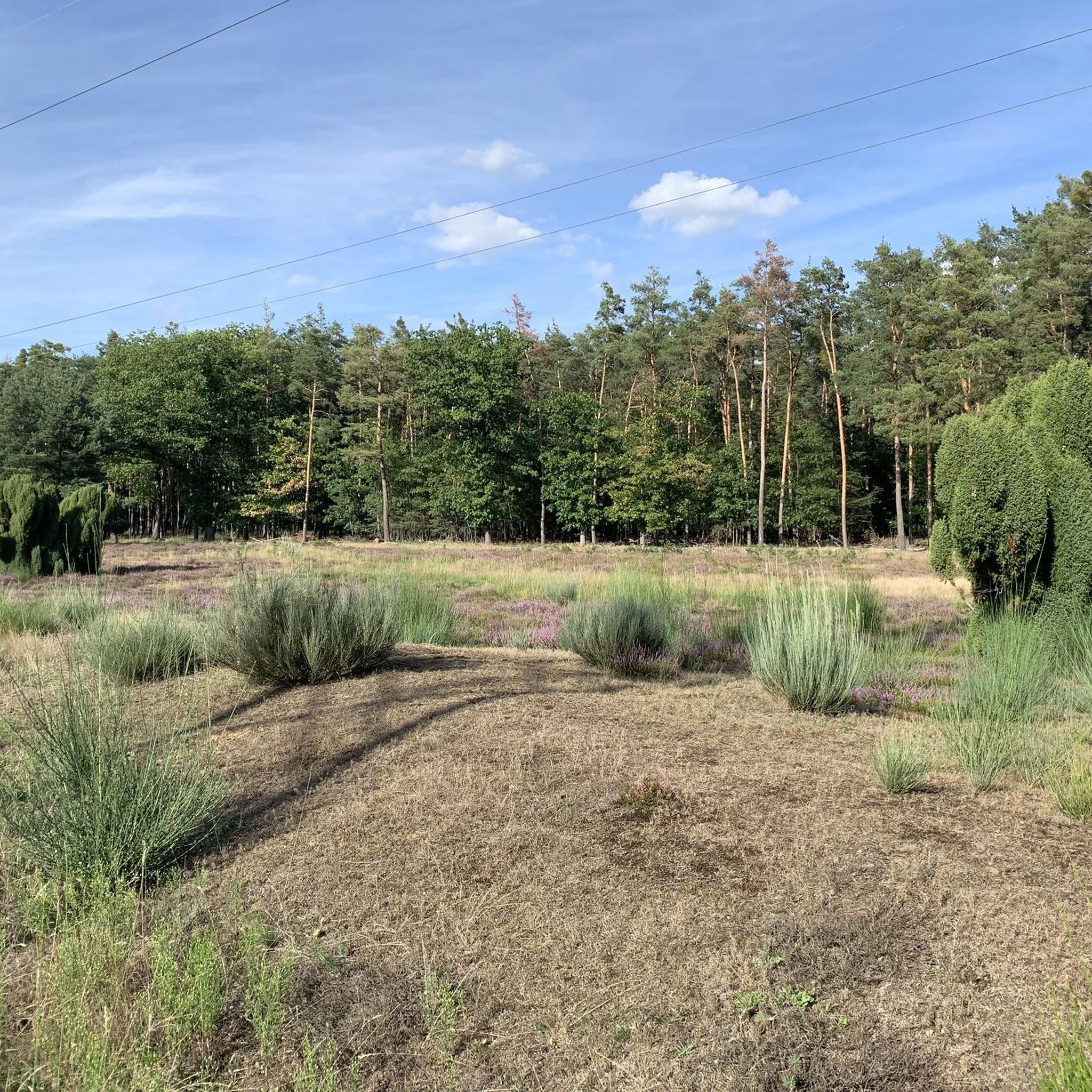
Running Trails around Rüsselsheim am Main
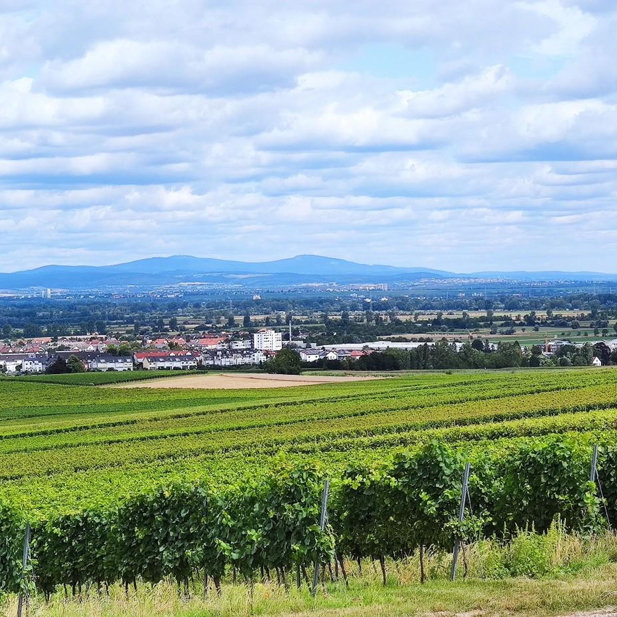
Running Trails around Ginsheim-Gustavsburg
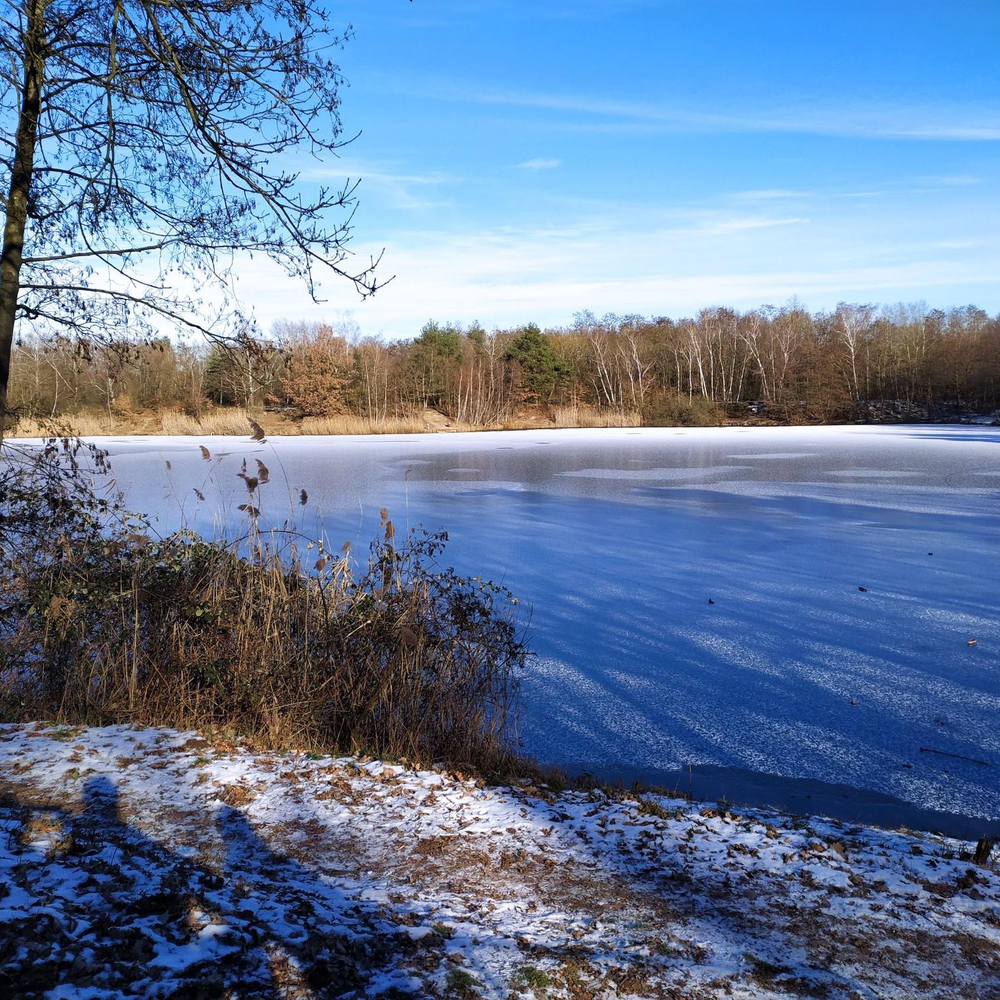
Running Trails around Mörfelden-Walldorf
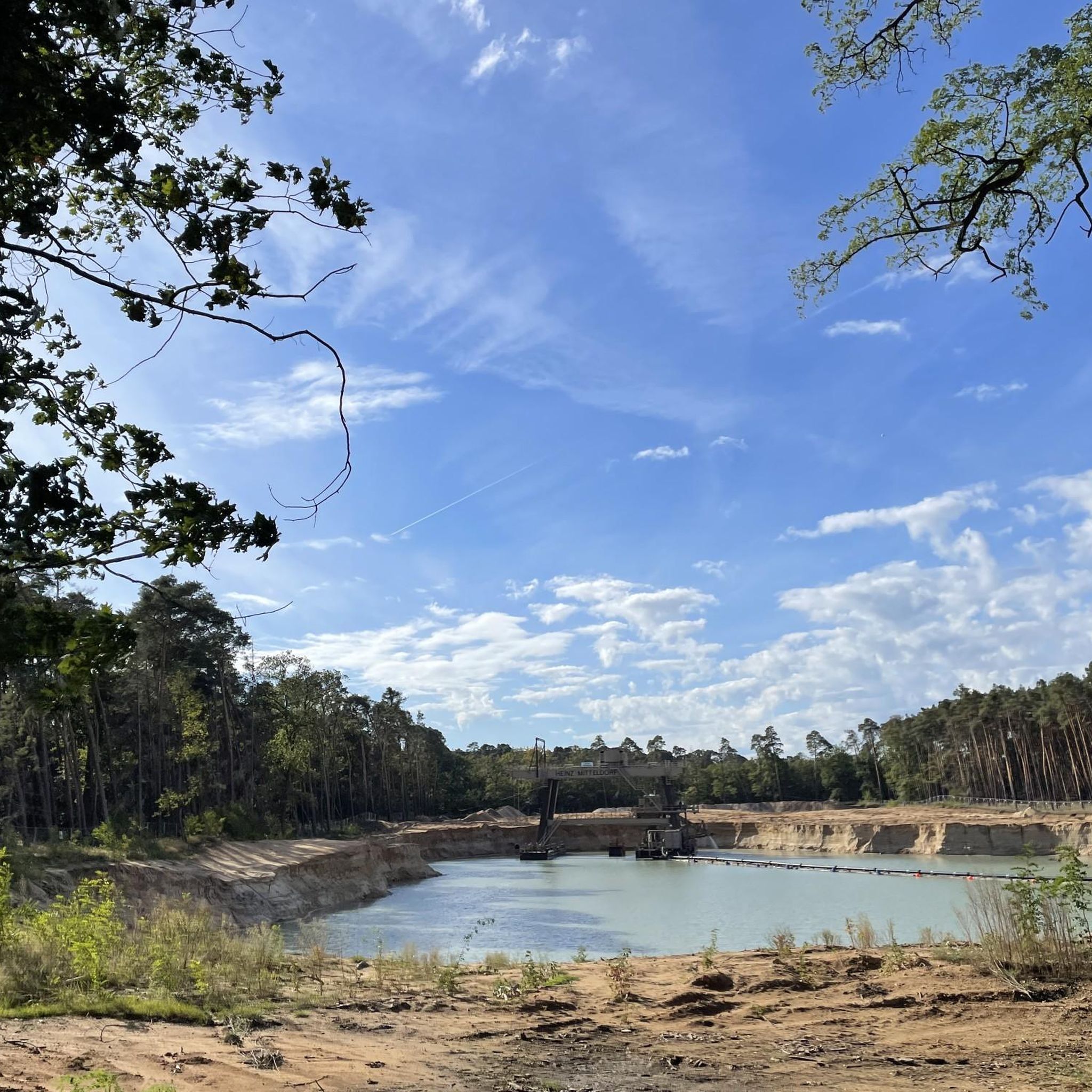
Running Trails around Raunheim
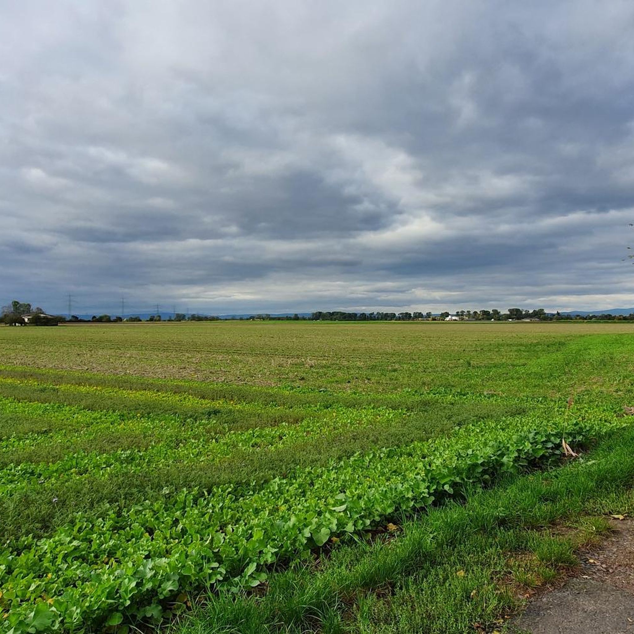
Running Trails around Groß-Gerau
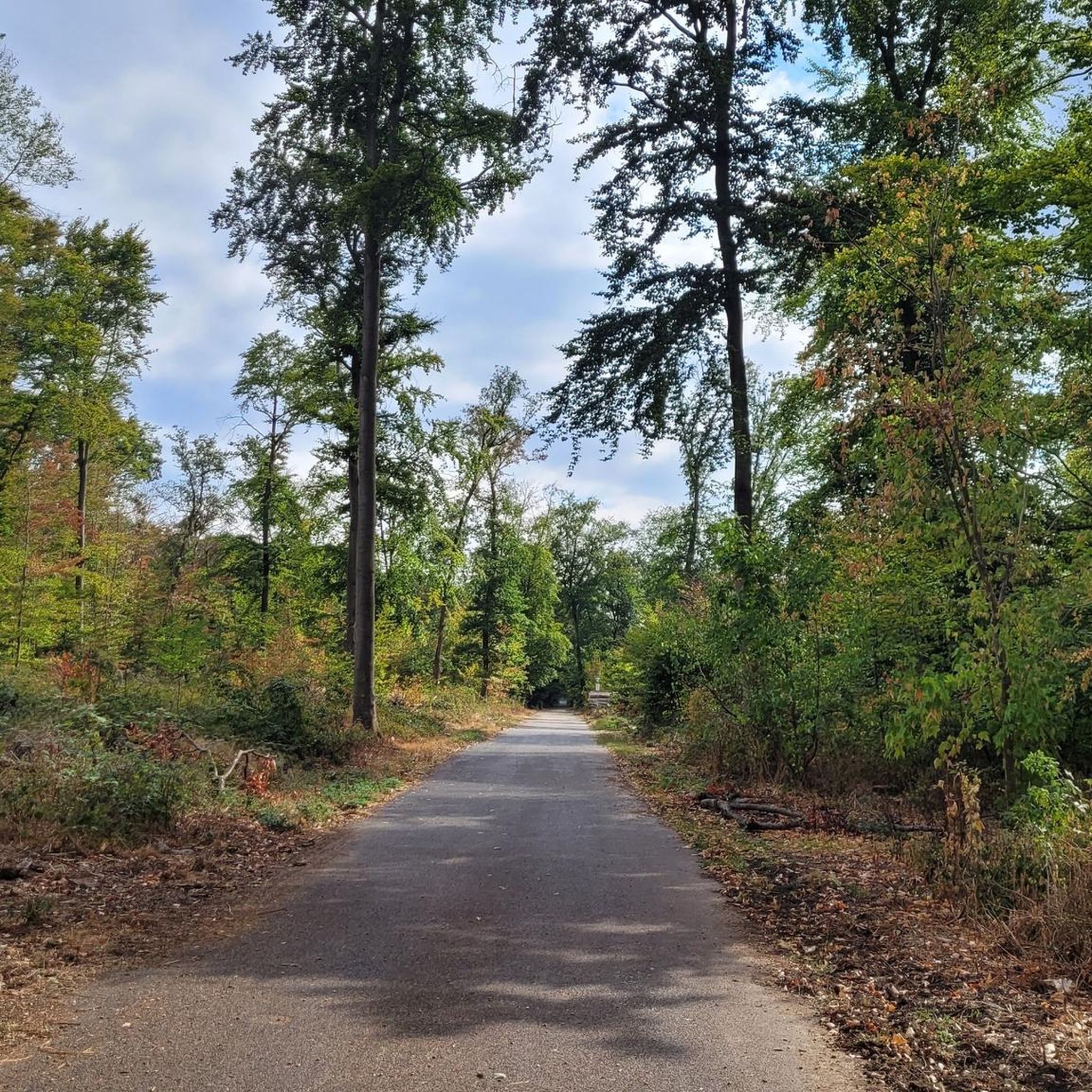
Running Trails around Kelsterbach
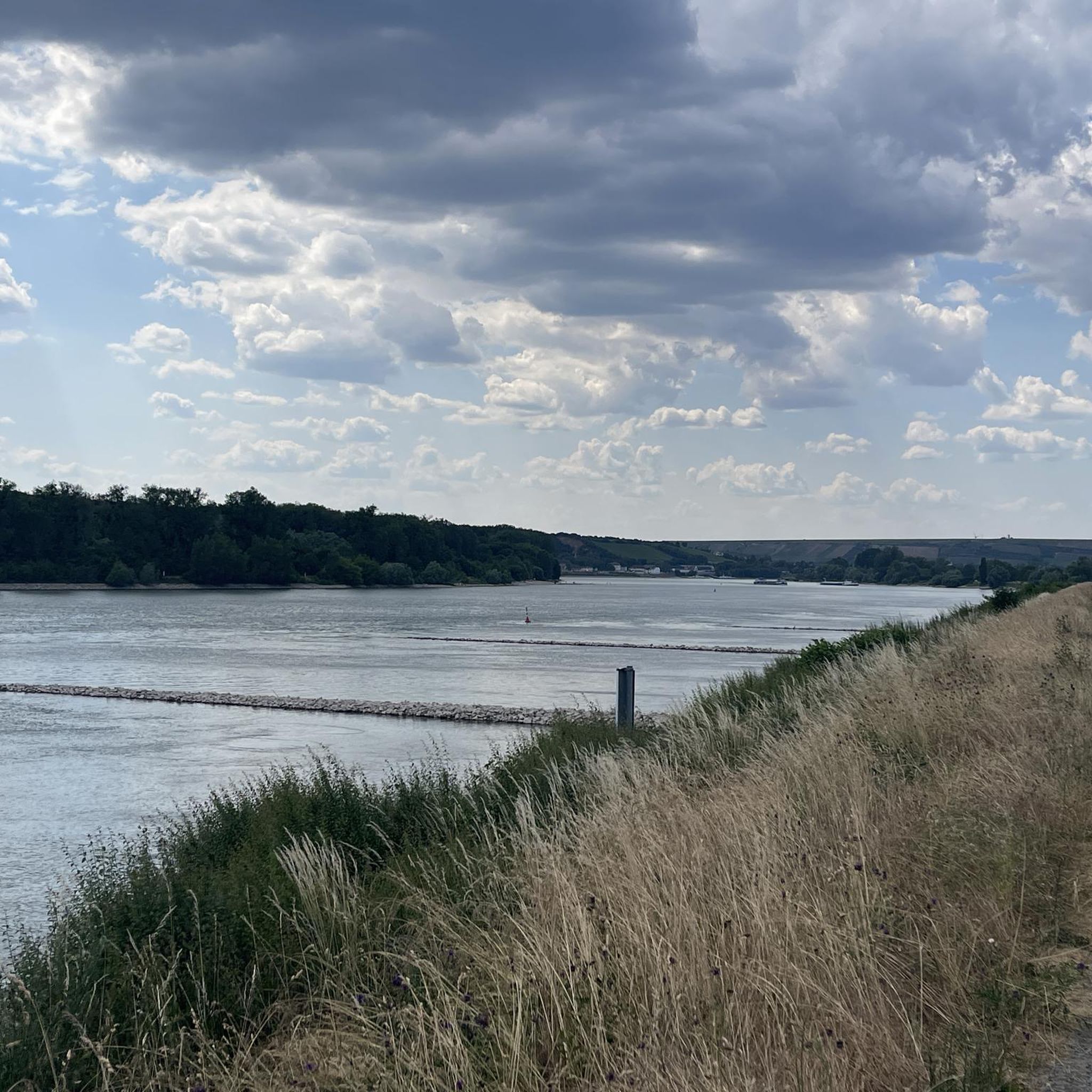
Running Trails around Riedstadt
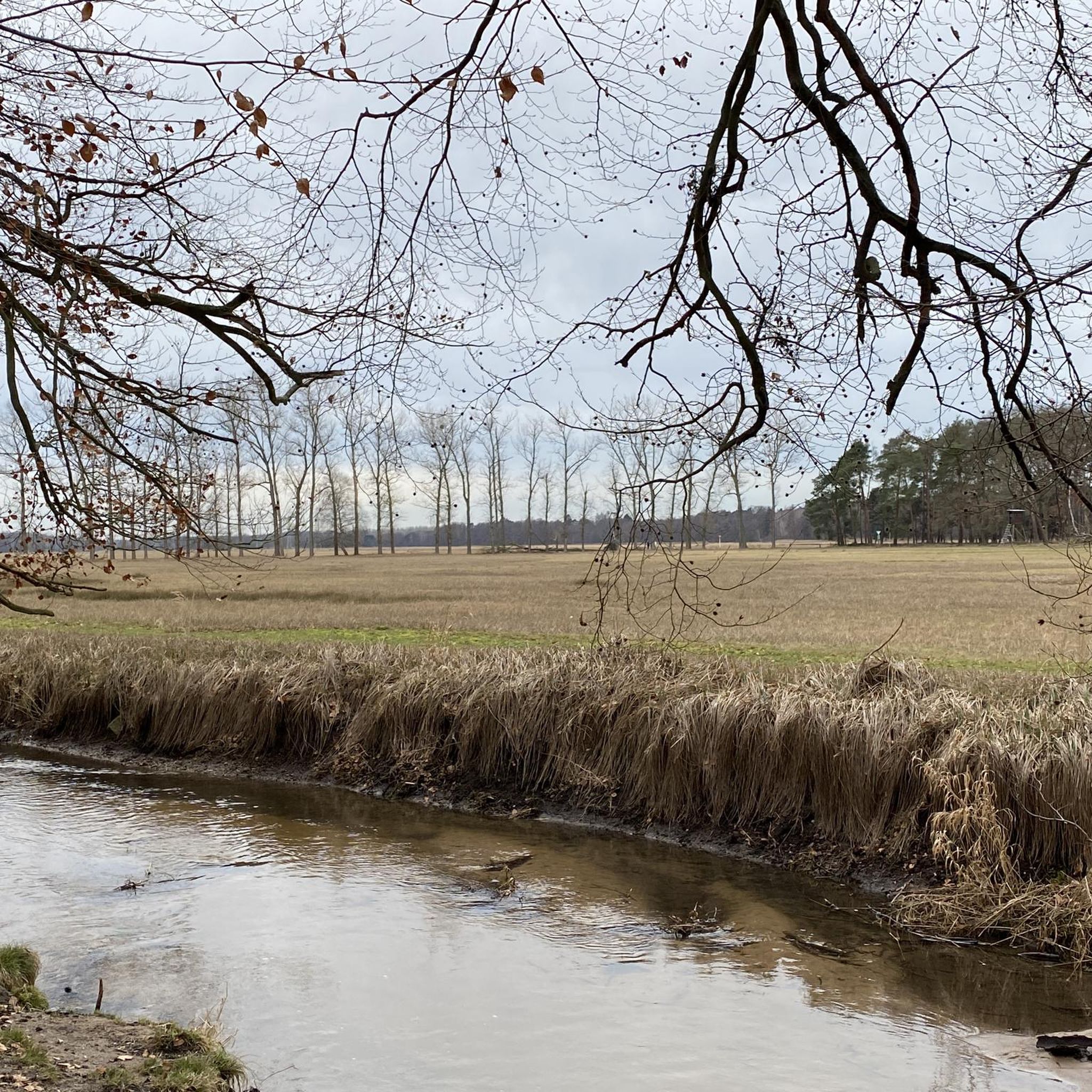
Running Trails in Der Schlichter
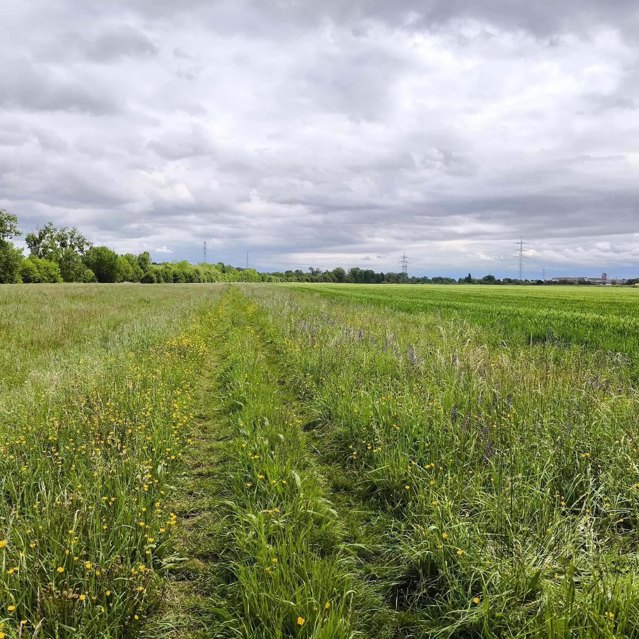
Running Trails around Bischofsheim
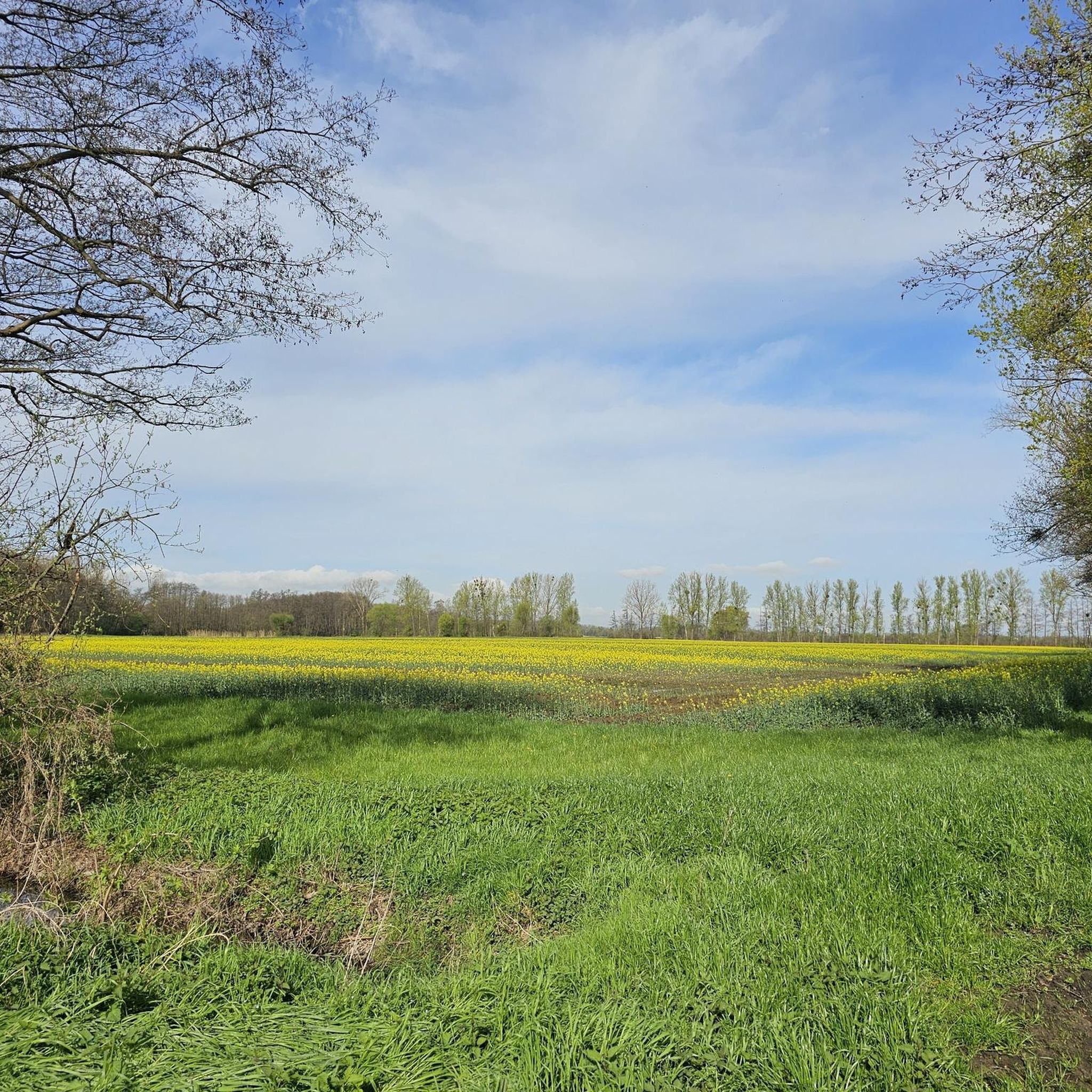
Running Trails around Büttelborn
Other adventures in Kreis Groß-Gerau


Tips from the Community

Looking from the Gustavsburg side, about 100 m below the Main bridge towards St. Kilian, you can see the foundations and pillar stumps of the Roman Main bridge from the 4th century at low water in the riverbed.
0
0

The gas station for your soul
0
0
Interesting biotope
0
0
Very nice trail
1
0

For me, a special point on the new runway. Not just because of the planes, but especially because of the fire station and the aircraft model for the firefighting exercise. This is all the more exciting if you are lucky enough to observe the fire department during an exercise.
0
0
There are always exciting spots here where you get a feel for modern traffic. I explicitly don't mean "just" the runway, even though the landing of planes is always fascinating, but the combination within a few meters of a modern airport, the ICE high-speed line, and the motorway.
0
0

There are only a few craftsmen left who master the art of weaving willow baskets.
2
0

In the listed building of the Old Mill, a wedding room has been set up.
0
0
Frequently Asked Questions
How many running routes are available in Kreis Groß-Gerau?
Kreis Groß-Gerau offers a wide selection of running routes, with over 780 trails available for exploration. These routes cater to various fitness levels, from easy jogs to more challenging runs.
What kind of terrain can I expect on the running trails in Kreis Groß-Gerau?
The region is primarily characterized by a largely level terrain, typical of the Upper Rhine Plain, making it ideal for extended runs. You'll find diverse landscapes including riverine paths along the Rhine and Main, extensive forests with old oaks and beeches, and trails around peaceful lakes.
Are there any easy or beginner-friendly running routes in the area?
Yes, Kreis Groß-Gerau has nearly 100 easy running routes perfect for beginners or those looking for a relaxed jog. Many of these routes traverse the flat river plains or shaded forest paths, offering a comfortable experience. For example, the Leinreiter Statue Rüsselsheim – Opel Villas loop from Rüsselsheim is a moderate 4.1-mile trail that is often completed in about 41 minutes.
Can I find routes suitable for families with children?
Absolutely. The Fasanerie in Groß-Gerau, a 30-hectare wooded park, is a popular spot for families, featuring large meadows, a small pond, and a forest learning path. Many of the region's nature trails, particularly those in the generally flat forested areas, are suitable for family outings.
Are there any dog-friendly running trails in the region?
Many of the natural areas in Kreis Groß-Gerau, including the extensive forests and paths around lakes like Lindensee, are popular with dog walkers and runners. The nature reserves like Mönchbruch and Kühkopf-Knoblochsaue also offer numerous trails where dogs are generally welcome, though it's always advisable to keep them on a leash and respect local regulations.
What natural features or landmarks can I see while running?
You can encounter a variety of natural beauty and landmarks. Routes often follow the Rhine and Main rivers, offering scenic views. You might pass through significant nature reserves like Kühkopf-Knoblochsaue, a European bird reserve, or Mönchbruch. Lakes such as Hegbachsee, Lindensee, and Gundwiesensee also feature prominently. The Mainspitze viewpoint is another notable spot.
Are there circular running routes available?
Yes, many of the running routes in Kreis Groß-Gerau are designed as circular loops, providing convenient starting and ending points. For instance, the Leinreiter Statue Rüsselsheim – Opel Villas Rüsselsheim loop from Raunheim is a popular circular option along the Main River.
What do other runners say about the trails in Kreis Groß-Gerau?
The running routes in Kreis Groß-Gerau are highly rated by the komoot community, with an average score of 4.4 stars from over 1,000 reviews. Runners often praise the varied terrain, the peaceful natural surroundings, and the well-maintained paths, especially those along the rivers and through the forests.
Are there running routes that pass by lakes or rivers?
Yes, the region is defined by its riverine landscapes, with the Rhine and Main rivers forming natural borders, offering numerous routes along their banks. Additionally, several lakes like Lindensee and Gundwiesensee are integrated into running paths, providing beautiful waterside scenery. The Lindensee Inlet – Hartmannsbornschneise Wetlands loop from Wiesen "Blauer See" is a great example of a route near a lake.
Are there options for longer, more challenging runs?
While the terrain is generally flat, there are routes that offer longer distances for those seeking a greater challenge. For example, the Opelsteg – Path Along the Main River loop from Mainz-Gustavsburg is a difficult 13-mile (21 km) trail, and the Coppice Willows on Kühkopf loop from Riedstadt-Goddelau is another difficult option spanning over 13 miles (21 km).
What are some good options for running in forested areas?
Kreis Groß-Gerau boasts extensive forests, including the Staatswald Groß-Gerau and the Niederwald von Groß-Gerau nature reserve. These areas, particularly the 'Wald bei Groß-Gerau' with its old oaks and beeches, provide shaded, natural paths perfect for running. The Mönchbruch nature reserve is another prominent forested area with numerous trails.
Is public transport accessible for reaching running trails?
While specific public transport connections to every trailhead are not detailed, many towns within Kreis Groß-Gerau are well-connected by public transport. From these towns, you can often access nearby running routes. It's recommended to check local transport schedules for specific starting points.
Are there any running routes with minimal elevation gain?
Given its location on the Upper Rhine Plain, Kreis Groß-Gerau is known for its largely level topography. Most running routes, even longer ones, feature minimal elevation gain, making them suitable for runners who prefer flat or gently undulating paths. This characteristic is ideal for maintaining a steady pace and enjoying the scenery without strenuous climbs.
Most popular routes in Kreis Groß-Gerau
Most popular attractions in Kreis Groß-Gerau

Get inspired with the komoot mobile app


Didn’t find what you were looking for?
Check out more Running Trails & Routes throughout Kreis Groß-Gerau below and find the perfect route in your destination.
Explore more
Browse the best Running Trails & Routes in other regions.
