The best walks and hikes around Obersaxen
4.6
(206)
1,430
hikers
81
hikes
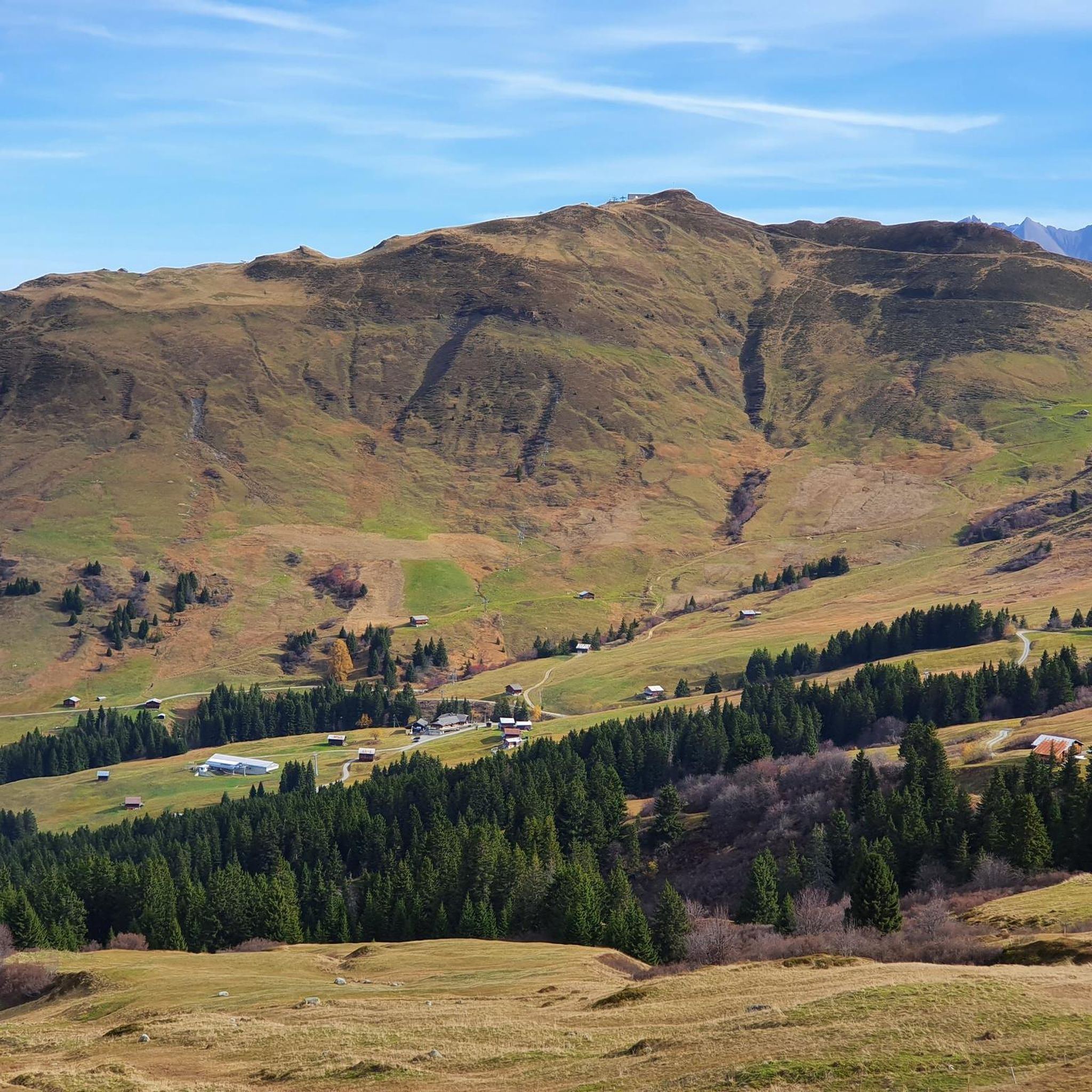
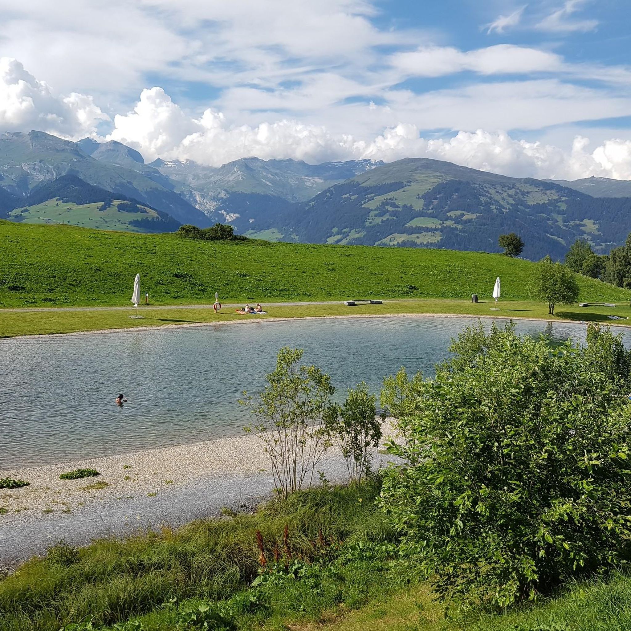
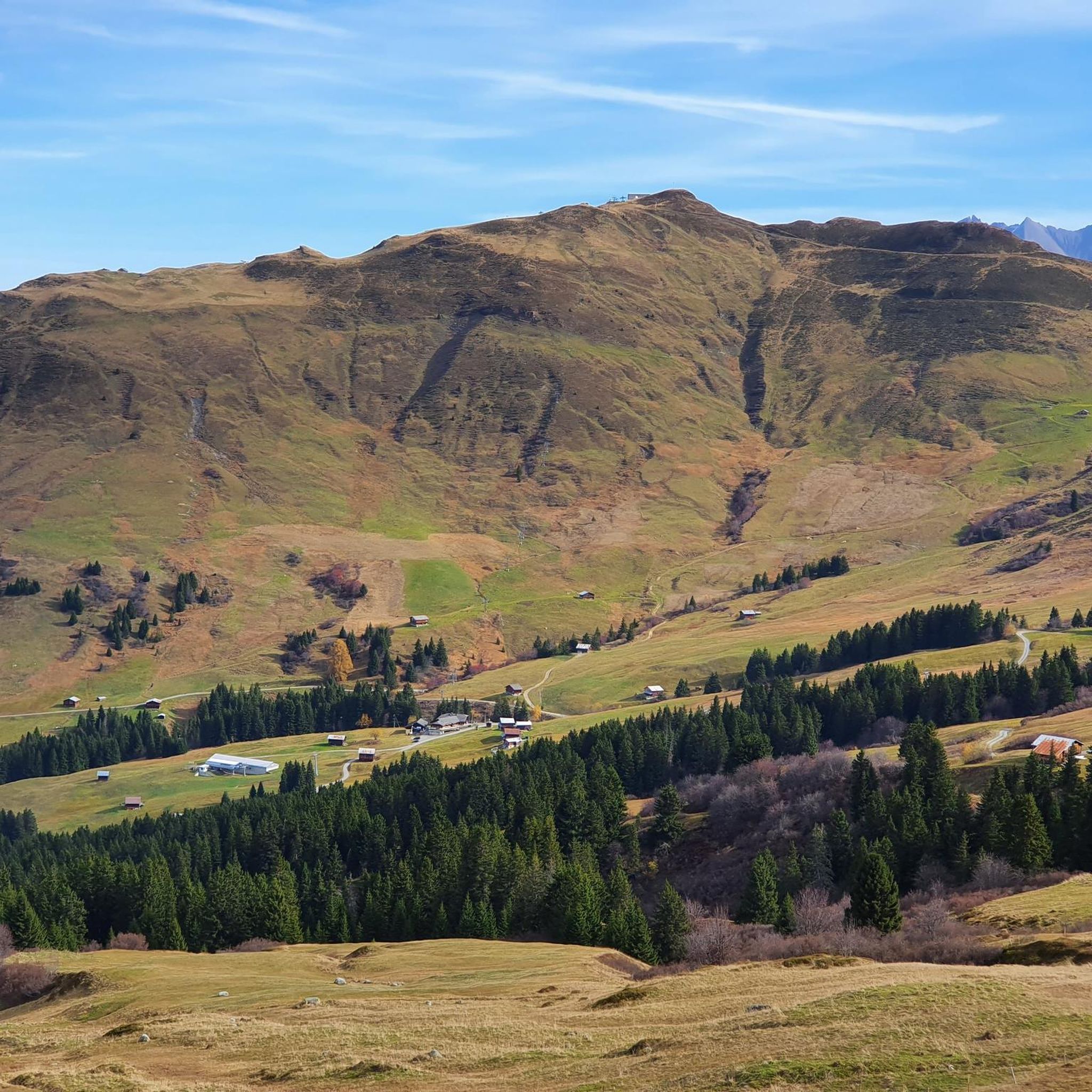
Hiking around Obersaxen offers diverse landscapes in the Surselva region of Graubünden, Switzerland. The area is characterized by a sunny, 12-kilometer-long high plateau with elevations between 1100 m and 1400 m, providing extensive views. Prominent features include the Mundaun mountains, alpine meadows, and forests, alongside numerous Walser hamlets. This varied terrain supports both challenging alpine routes and leisurely themed walks.
Best hiking trails around Obersaxen
- The most popular hiking route is Walserweg Trail – Durchblick Panorama Viewpoint loop from Meierhof…
Last updated: October 12, 2026
4.6
(19)
108
hikers
Moderate hike. Good fitness required. Mostly accessible paths. Sure-footedness required.
4.6
(14)
77
hikers
10.6km
03:23
440m
440m
Moderate hike. Good fitness required. Mostly accessible paths. Sure-footedness required.

4.0
(21)
84
hikers
9.79km
02:52
250m
250m
Moderate hike. Good fitness required. Mostly accessible paths. Sure-footedness required.
5.0
(6)
65
hikers
9.52km
02:50
280m
280m
Moderate hike. Good fitness required. Mostly accessible paths. Sure-footedness required.
4.9
(11)
46
hikers
Moderate hike. Good fitness required. Mostly accessible paths. Sure-footedness required.
Get access to more routes and recommendations from other explorers.
Already have an account?
Our route recommendations are based on thousands of hikes, rides, and runs completed by other people on komoot.
Start today with a free account
Your next adventure awaits.
Popular around Obersaxen
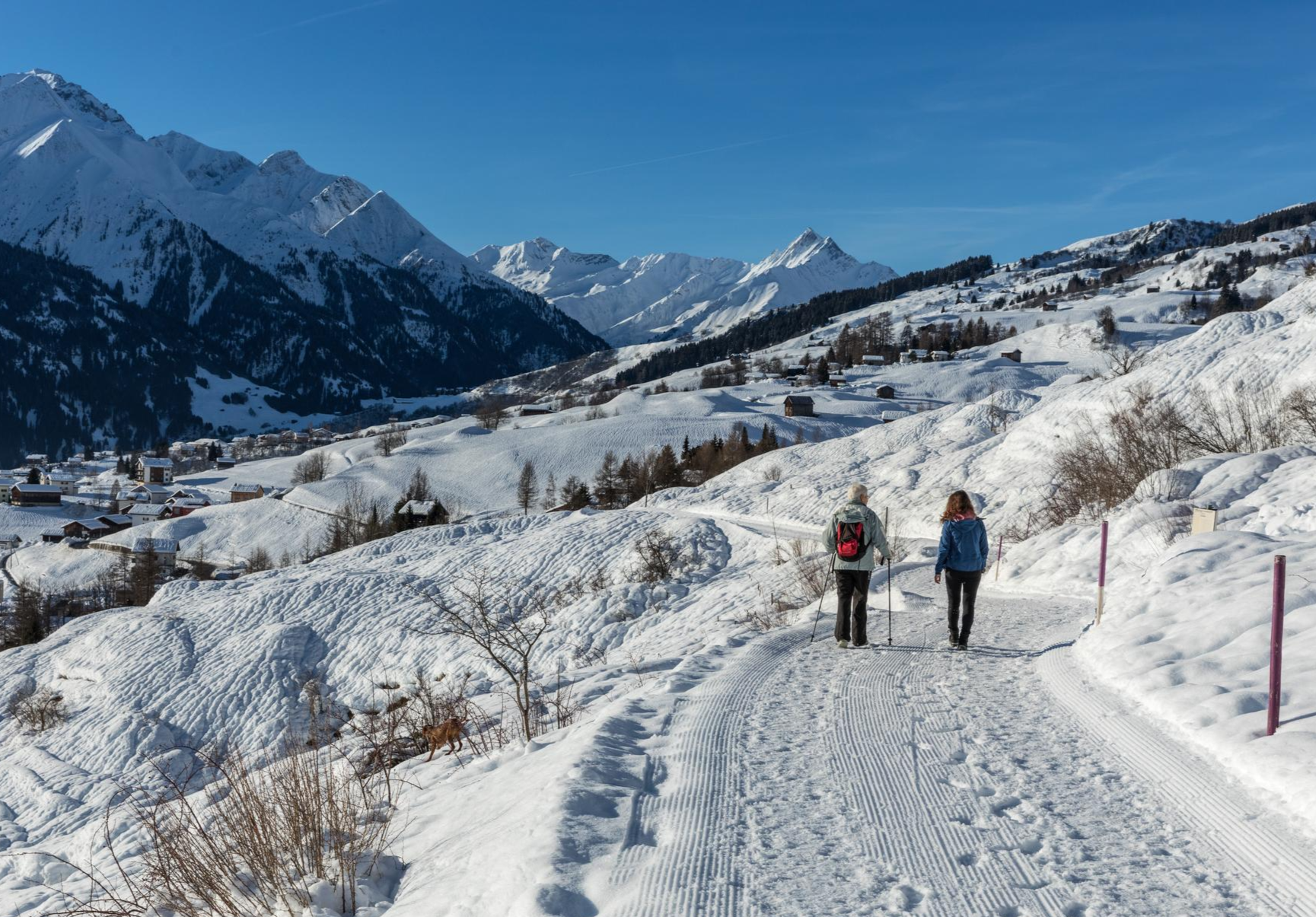
A winter mountain paradise – discover the Surselva

Winter Magic in the Surselva – peace, space and pure nature
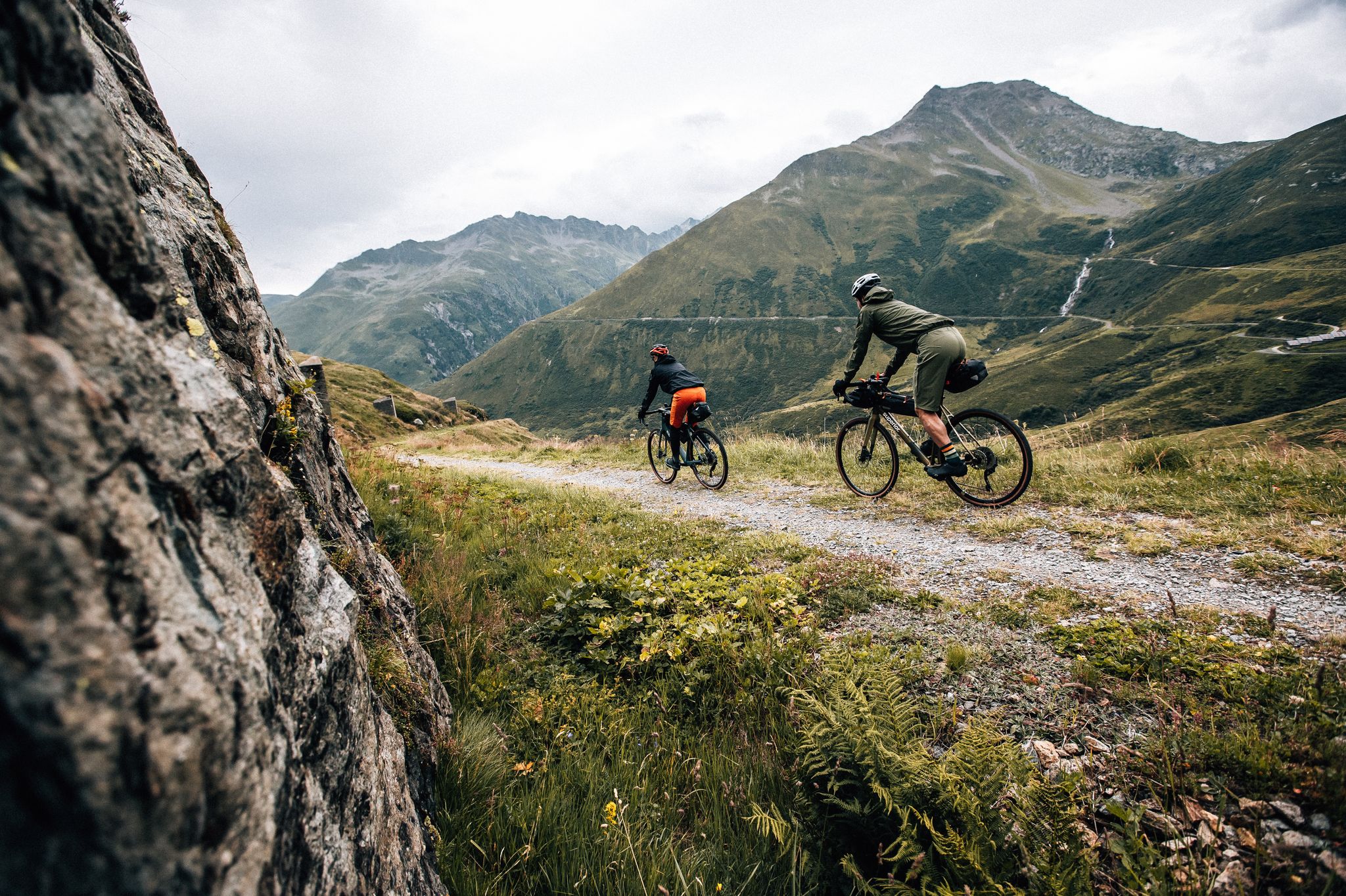
Trans Grischun – cross Graubünden on a gravel bike
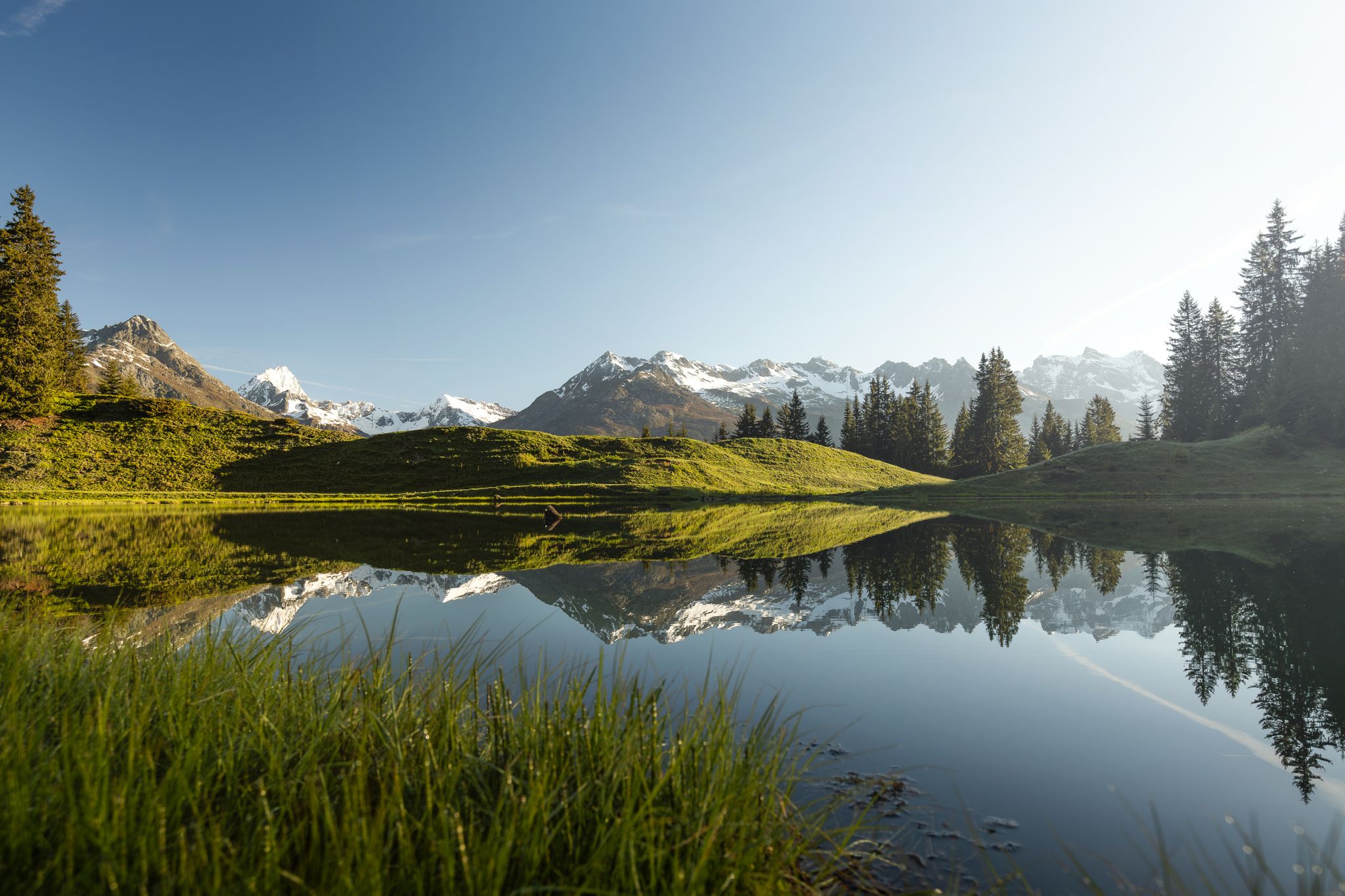
Tiefblau und unberührt – Wanderungen zu den Bergseen der Surselva
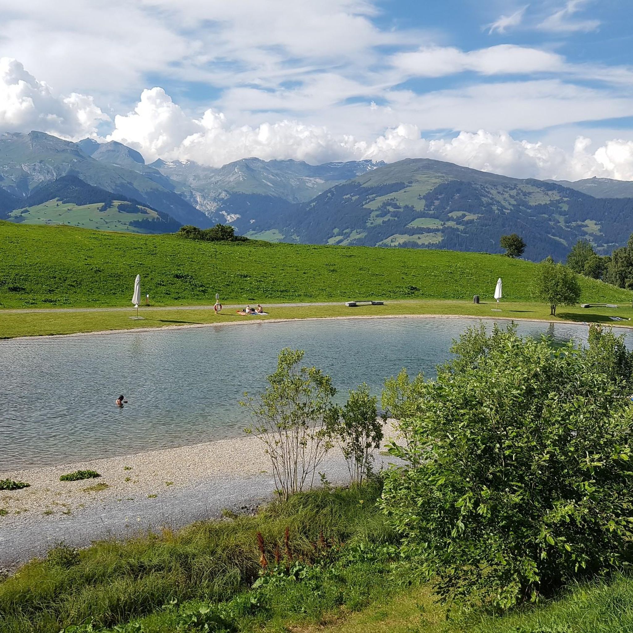
MTB Trails around Obersaxen
Cycling around Obersaxen
Gravel biking around Obersaxen
Road Cycling Routes around Obersaxen
Running Trails around Obersaxen
Mountain Hikes around Obersaxen
Other adventures around Obersaxen


Tips from the Community

The Pifalwald is a welcome counterpoint to the open alpine meadows. It is pleasantly cool here even on hot summer days, the path is well shaded, and the ground yields pleasantly underfoot thanks to the forest soil. In quiet moments, you can hear woodpeckers, treecreepers, and sometimes the call of the spotted nutcracker, which is at home in the spruces of Obersaxen.
1
0

Piz Sezner is 2,310 meters high and offers impressive views of the surrounding valleys. The summit lies between the German-speaking Obersaxen region to the north and the Romanesque Val Lumnezia to the south.
1
0

Charging station for E-BTB available
0
0

The cable car station to Piz Mundaun is on our route.
1
0

In Pifal there is a lot to discover especially for children.
1
0
For me it belongs to the most beautiful and at the same time easy to reach cozy barbecue areas in the region!
0
0
Artfully designed by the local painter Rudolf Mirer.
0
0
Frequently Asked Questions
How many hiking trails are available in Obersaxen?
Obersaxen offers over 80 hiking trails, catering to various skill levels from easy strolls to more challenging alpine crossings. You'll find a diverse network of paths through alpine meadows, forests, and the unique Walser hamlets.
Are there easy hiking options suitable for beginners or families?
Yes, Obersaxen has over 20 easy hiking routes. For families, the 'Joke Path' in Surcuolm offers a leisurely walk with humorous joke boards, and the 'Detective Gemschi' riddle adventure provides an engaging way to explore the hamlets. These trails are designed to be accessible and enjoyable for all ages.
What kind of natural features or landmarks can I expect to see while hiking in Obersaxen?
Hiking in Obersaxen offers diverse natural features and landmarks. You can explore the Mundaun Mountains, which provide panoramic views, or discover the unspoiled Greina Plateau. The region is also known for its numerous Baroque chapels, which you can explore along the Chapels Trail. Don't miss the dramatic Rhine Gorge (Ruinaulta) nearby, often called the 'Grand Canyon of Switzerland'.
Are there any themed hiking trails in Obersaxen?
Yes, Obersaxen features several themed trails. The Obersaxen Walser Trail, for instance, is an 8-kilometer route starting in Giraniga that delves into the history of the Walser people, featuring info panels and a suspension bridge over the Schlettertobel ravine. Another option is the Chapels Trail, which guides you past several of the 11 historic chapels on the Obersaxen plateau.
What do other hikers enjoy most about hiking in Obersaxen?
The hiking routes in Obersaxen are highly rated by the komoot community, with an average score of 4.7 stars from over 180 reviews. Hikers frequently praise the extensive views from the high plateau, the well-maintained trails, and the unique cultural landscape of the Walser settlements. The variety of routes, from leisurely strolls to more demanding alpine paths, is also a highlight.
Are there any circular hiking routes in Obersaxen?
Yes, Obersaxen offers several circular hiking routes. A popular choice is the Walserweg Trail – Durchblick Panorama Viewpoint loop from Meierhof, which takes you through forests and past the suspension bridge. Another option is the Dachlisee – Dachlisee loop from Burg Moregg, leading through alpine meadows to the scenic Dachlisee.
Can I access hiking trails in Obersaxen using public transport?
Yes, Obersaxen benefits from a hikers' bus service, making it easier to reach various starting points for your walks. This allows you to explore different areas of the region without needing a car.
What is the best time of year to go hiking in Obersaxen?
The best time for hiking in Obersaxen is generally during the warmer months, from late spring to early autumn, when the trails are clear of snow and the alpine meadows are in full bloom. Summer offers pleasant temperatures and long daylight hours, while autumn provides stunning fall foliage and crisp air. Some trails may also be suitable for winter hiking, but conditions can vary.
Are there any challenging alpine routes for experienced hikers?
Absolutely. For experienced hikers, Obersaxen offers challenging alpine routes, including ridge hikes to areas like Blausee and Piz Titschal. These routes traverse mountain meadows and more barren landscapes, often featuring rustic alpine huts and idyllic mountain lakes. The Greina Plateau, accessible via the Diesrut Pass, also presents a unique and wild environment for experienced trekkers.
Where can I find panoramic views in Obersaxen?
Obersaxen is renowned for its panoramic views due to its elevated position. The Mundaun Mountains offer 360-degree vistas over the Surselva. Specifically, the 'see-through panorama' at the Plàmpoort fireplace along the Walser Trail provides an excellent viewpoint. Additionally, routes between Piz Mundaun and Péz Sezner offer expansive views of the Surselva holiday paradise.
Are there any specific trails that highlight the Walser culture?
The Obersaxen Walser Trail is specifically designed to highlight the history and life of the wandering Walser people. This informative trail, starting in Giraniga, features 23 info panels detailing local flora, fauna, geology, and Walser history, providing a deep dive into the region's cultural heritage.
Are there places to eat or stay near the hiking trails in Obersaxen?
Obersaxen, with its 28 hamlets spread across a sunny plateau, offers various options for refreshments and accommodation. You'll find local cafes and guesthouses within or near the hamlets, providing opportunities to rest and refuel after your hikes. Some trails, like the Walser Trail, even have well-equipped fireplaces at spots like Sassli and Plàmpoort for picnicking.
Most popular routes around Obersaxen
Most popular attractions around Obersaxen

Get inspired with the komoot mobile app


Explore more
Browse the best Hikes in other regions.
