The best mountain hikes around Obersaxen
36
hikers
4
hikes
Mountaineering around Obersaxen offers challenging routes through high alpine terrain. The region is characterized by deep valleys, expansive plateaus like Greina, and prominent summits. These routes often feature significant elevation gains and traverse rugged landscapes, providing a demanding experience for mountaineers. The area's geology includes a mix of rock formations and alpine meadows, shaped by glacial activity.
Best mountaineering routes around Obersaxen
- The most popular mountaineering route is Val Frisal Suspension Bridge loop from Puzzatsch, an 8.0 miles (12.9…
Last updated: October 10, 2026
21
hikers
16.7km
06:47
990m
990m
Hard mountaineering route. Very good fitness required. Sure-footedness, sturdy shoes and alpine experience required.
7
hikers
14.8km
06:47
930m
930m
Hard mountaineering route. Very good fitness required. Sure-footedness, sturdy shoes and alpine experience required.

3
hikers
14.6km
06:47
770m
780m
Hard mountaineering route. Very good fitness required. Sure-footedness, sturdy shoes and alpine experience required.
5
hikers
14.1km
05:33
910m
910m
Hard mountaineering route. Very good fitness required. Mostly accessible paths. Sure-footedness required.
Our route recommendations are based on thousands of hikes, rides, and runs completed by other people on komoot.
Start today with a free account
Your next adventure awaits.
Popular around Obersaxen

Winter Magic in the Surselva – peace, space and pure nature
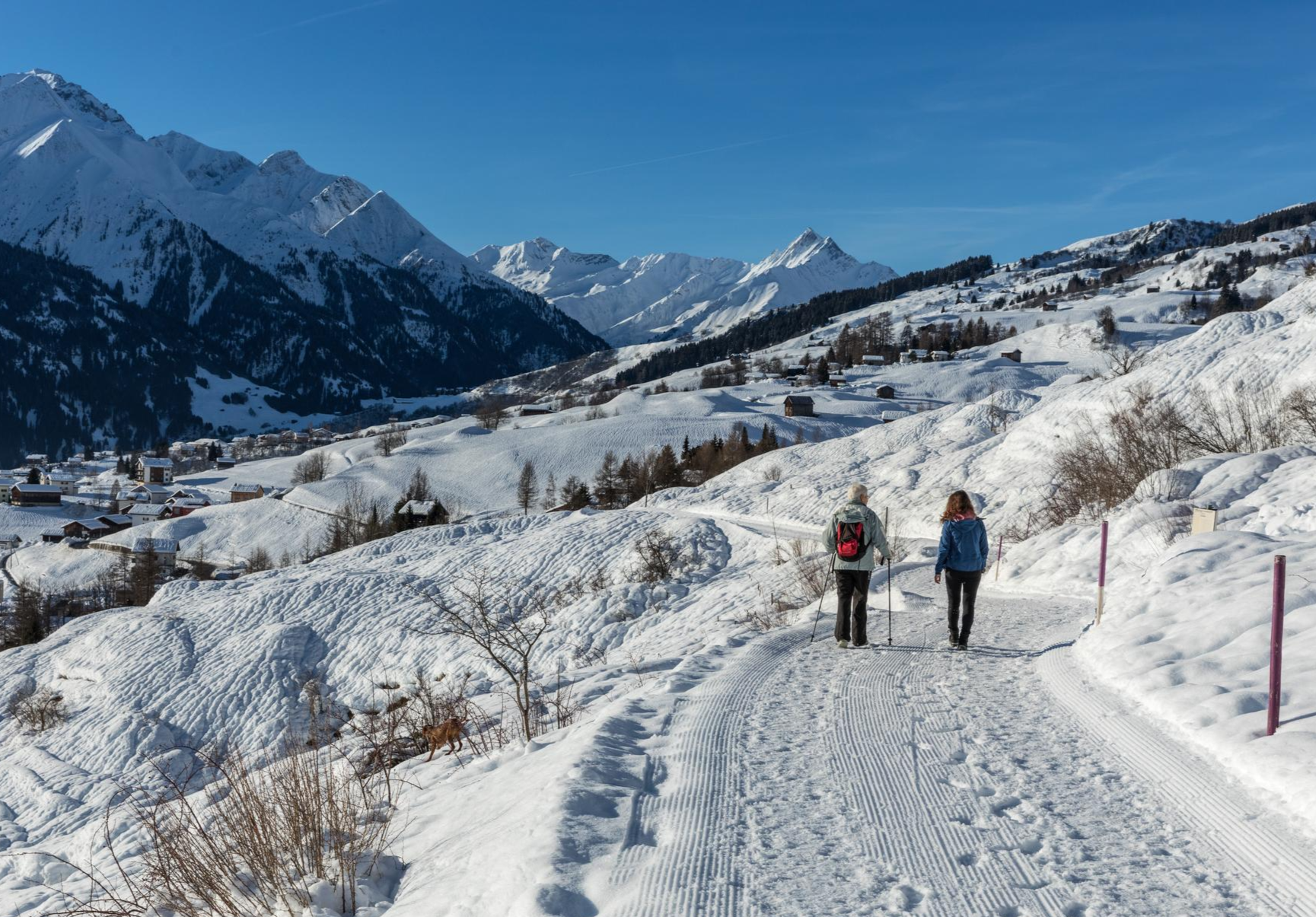
A winter mountain paradise – discover the Surselva
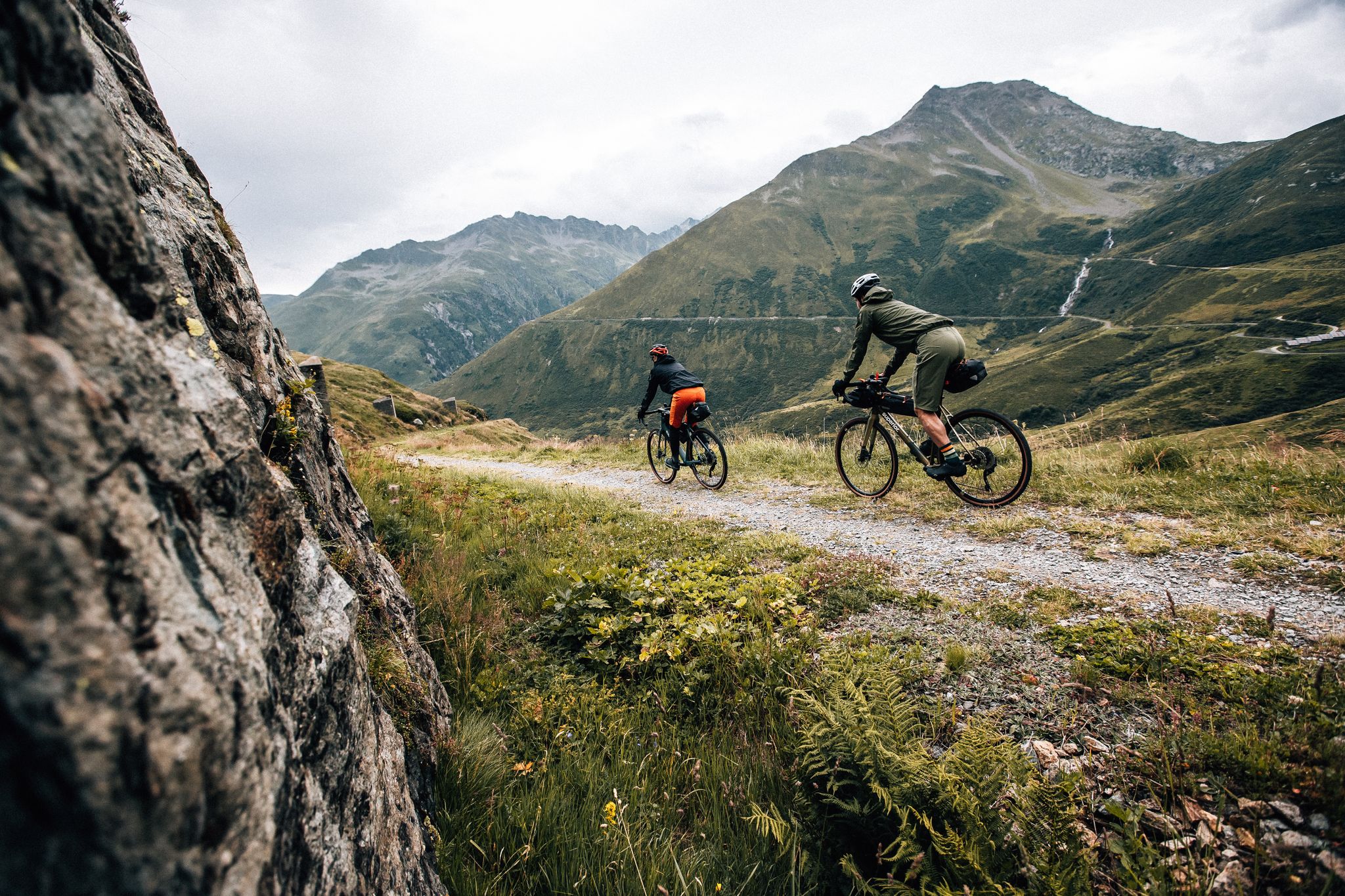
Trans Grischun – cross Graubünden on a gravel bike
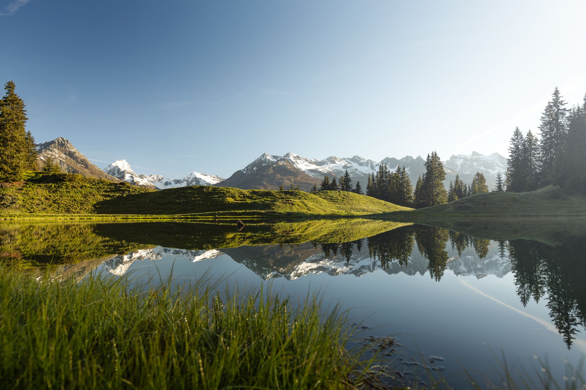
Tiefblau und unberührt – Wanderungen zu den Bergseen der Surselva
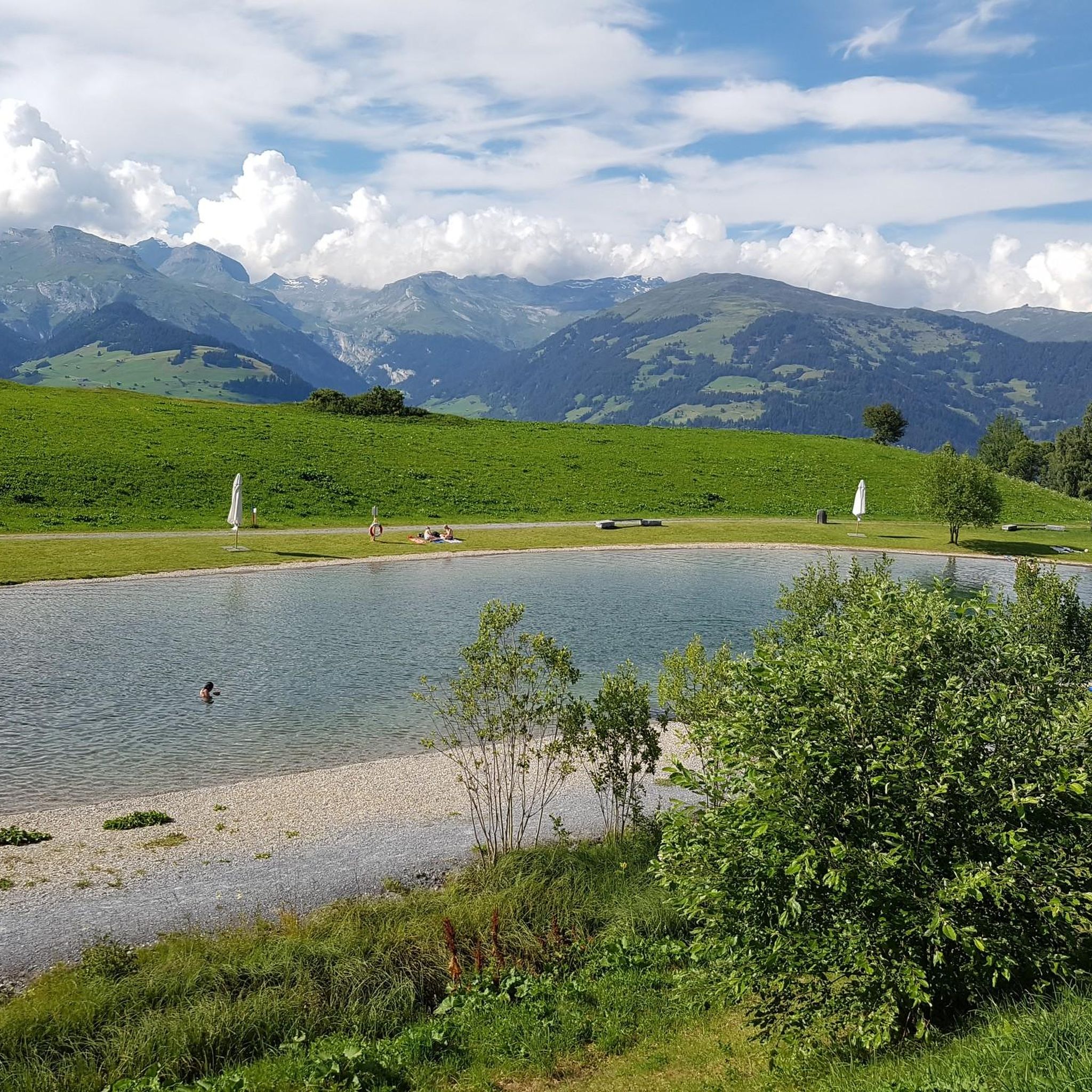
MTB Trails around Obersaxen
Hiking around Obersaxen
Cycling around Obersaxen
Gravel biking around Obersaxen
Road Cycling Routes around Obersaxen
Running Trails around Obersaxen
Other adventures around Obersaxen


Tips from the Community

The restaurant is located at an altitude of 1,725 meters directly on the winter hiking trail and near the Crest Falla ski lifts. The large sun terrace offers a unique view across the Rhine Valley to the Signina mountain range.
0
0

A cozy mountain hut with very friendly staff. From the dining tables, you have a view of the large reservoir and the surrounding mountains. Overnight stays are available in small dormitories.
0
1
The hut has been recently renovated and is now even more comfortable. It's beautifully situated, surrounded by mountains and on the edge of the Greina Plain. You reach the hut via a new suspension bridge. Too exciting? You can also walk along the other side of the mountain.
0
0

Stunning Alpine tundra landscape aith fantastic views over the surrounding mountains. Small springs on the plateau form pools, fens and streams before turning into bubbling mountain brooks.
0
0

At night wonderful starry sky in good weather
0
0

Beautiful mountain lake at an altitude of 2585m.
0
0


Frequently Asked Questions
What is the typical difficulty level for mountaineering routes in Obersaxen?
Mountaineering routes in Obersaxen are generally considered difficult. The region features high alpine terrain with significant elevation gains and rugged landscapes, making them suitable for experienced mountaineers. There are no easy or moderate routes listed in this guide.
What is the average duration for mountaineering tours in Obersaxen?
The mountaineering tours in Obersaxen typically range from 4.5 to 7 hours to complete. For example, the Frisal High Valley (1906 m) loop from Breil/Brigels can be completed in about 4 hours 44 minutes, while the Val Frisal Suspension Bridge loop from Puzzatsch takes around 6 hours 48 minutes.
Are there any circular mountaineering routes in Obersaxen?
Yes, many of the mountaineering routes in Obersaxen are circular, offering varied scenery without retracing your steps. Examples include the Greina Plateau – Val Frisal Suspension Bridge loop from Puzzatsch and the challenging Kistenstöckli Summit – Bifertenhütte SAC loop from Burleun.
What is the best season for mountaineering in Obersaxen?
Given the high alpine nature of Obersaxen, the best season for mountaineering is typically from late spring to early autumn (June to September). During these months, snowmelt allows access to higher elevations, and weather conditions are generally more stable, though alpine weather can change rapidly.
Can I bring my dog on mountaineering routes in Obersaxen?
Dogs are generally welcome on trails in the Obersaxen region. However, due to the challenging terrain, potential wildlife encounters, and grazing livestock, it is highly recommended to keep your dog on a leash, especially in sensitive areas or near pastures. Always ensure your dog is fit enough for difficult, long-duration routes.
Are there any huts or places to stop for refreshments along the mountaineering routes?
Yes, the Obersaxen region offers several mountain huts that can serve as excellent stops for refreshments or even overnight stays. Notable options include the Biferten SAC Hut and the Terrihütte. These huts provide a welcome break in the high alpine environment.
What kind of natural features or landmarks can I expect to see on these routes?
Mountaineering in Obersaxen offers breathtaking natural features. You can expect to traverse expansive plateaus like the Greina, deep valleys, and rugged landscapes shaped by glacial activity. Routes often lead to prominent summits or offer views of significant geological formations. The Crest la Greina – View of Terrihütte loop from Lag da Runcahez provides stunning vistas.
What do other mountaineers appreciate most about Obersaxen?
The komoot community highly rates the mountaineering experience in Obersaxen, with an average score of 4.8 stars from more than 5 reviews. Mountaineers frequently praise the challenging high alpine terrain, the expansive views, and the sense of adventure offered by the rugged landscapes and significant elevation gains.
Are there any family-friendly mountaineering options in Obersaxen?
The mountaineering routes detailed in this guide for Obersaxen are all classified as difficult, featuring significant elevation gains and rugged terrain. As such, they are generally not recommended for families with young children or those seeking easy, leisurely walks. These routes are best suited for experienced mountaineers.
How accessible are the trailheads by public transport in Obersaxen?
Access to trailheads in Obersaxen by public transport varies. While some starting points like Puzzatsch or Burleun might be reachable by local bus services, especially during peak season, others may require private transport or a longer approach. It's advisable to check local bus schedules and connections in advance for your specific starting point.
Where can I find parking for mountaineering routes in Obersaxen?
Parking availability depends on the specific trailhead. For routes starting from villages or established mountain resorts like Puzzatsch or Burleun, you can often find designated parking areas, though some may be paid. For more remote starting points, parking might be limited, so planning ahead is recommended.
What are the conditions like for winter mountaineering in Obersaxen?
Winter mountaineering in Obersaxen presents significant challenges due to heavy snowfall, avalanche risk, and extreme cold. The high alpine terrain requires specialized winter equipment, extensive experience, and a thorough understanding of avalanche safety. Conditions can be highly unpredictable, and many routes become impassable or extremely dangerous. It is generally recommended for highly experienced individuals only, and always with up-to-date local knowledge and forecasts.
Most popular routes around Obersaxen
Most popular attractions around Obersaxen

Get inspired with the komoot mobile app


Explore more
Browse the best Mountain Hikes & Routes in other regions.
