The best mountain hikes around Burgberg im Allgäu
4.5
(133)
1,497
hikers
13
hikes
Mountaineering routes around Burgberg im Allgäu traverse the northern edge of the Allgäu Alps, offering varied terrain characterized by prominent ridges, forested slopes, and open summit views. The region features a mix of challenging ascents to peaks like the Burgberger Hörnle and routes through lower mountain forests. Elevation changes are significant, providing a demanding experience for mountaineers.
Best mountaineering routes around Burgberg im Allgäu
- The most popular mountaineering route is Ridge on the Burgberger Horn – Burgberger Hörnle Summit loop…
Last updated: July 1, 2026
4.6
(39)
477
hikers
Hard mountaineering route. Good fitness required. Sure-footedness, sturdy shoes and alpine experience required.
4.6
(34)
321
hikers
Hard mountaineering route. Good fitness required. Sure-footedness, sturdy shoes and alpine experience required.

Sign up for free
4.5
(14)
141
hikers
Hard mountaineering route. Good fitness required. Sure-footedness, sturdy shoes and alpine experience required.
4.6
(5)
100
hikers
Hard mountaineering route. Good fitness required. Sure-footedness, sturdy shoes and alpine experience required.
4.0
(4)
40
hikers
Hard mountaineering route. Good fitness required. Sure-footedness, sturdy shoes and alpine experience required.
Get access to more routes and recommendations from other explorers.
Sign up for free
Already have an account?
Our route recommendations are based on thousands of hikes, rides, and runs completed by other people on komoot.
Start today with a free account
Your next adventure awaits.
Login or Signup
Popular around Burgberg im Allgäu
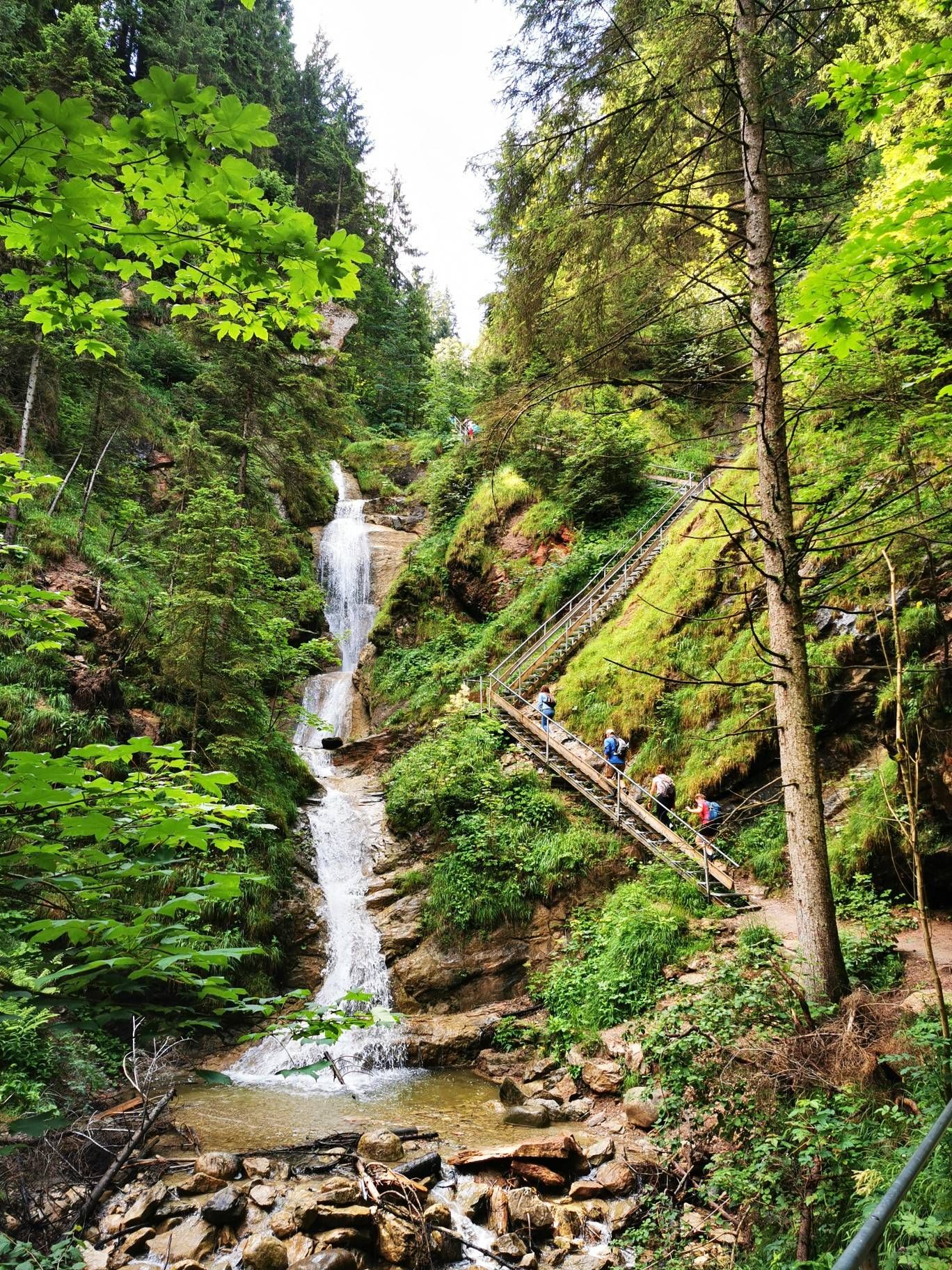
Discover Alpine lakes on the Watercourse Route – Allgäu hiking trilogy

Climbing Alpine peaks on the Route to the Top – Allgäu hiking trilogy
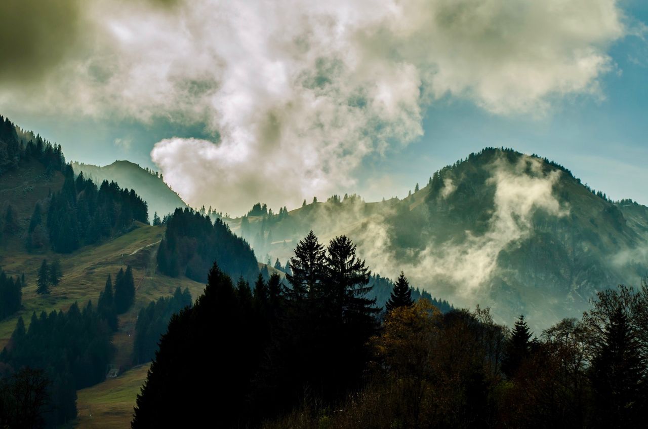
Allgäu pleasure peaks
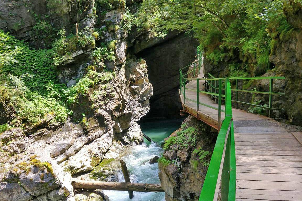
Wild gorges in southern Germany and northern Switzerland
Gipfelglück im Allgäu – 8 Wanderungen mit Weitblick
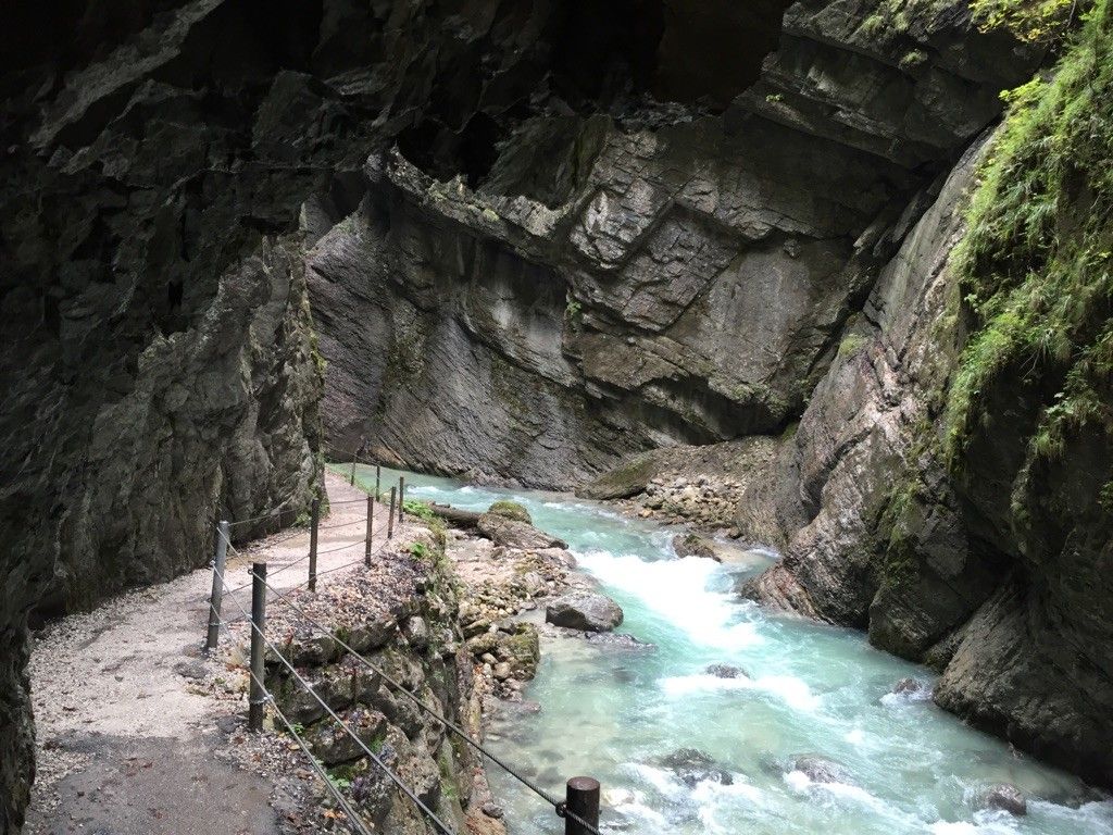
Die schönsten Klammen im Alpenvorland
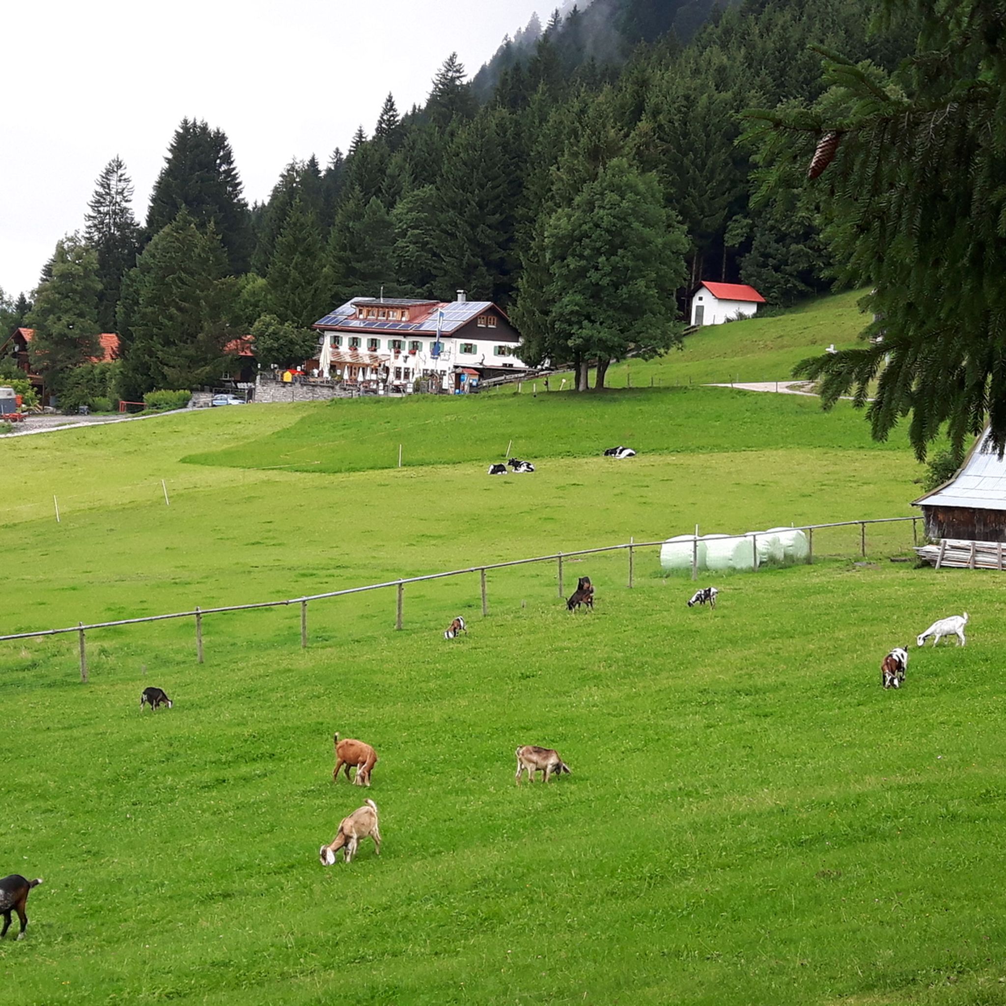
Hiking around Burgberg im Allgäu
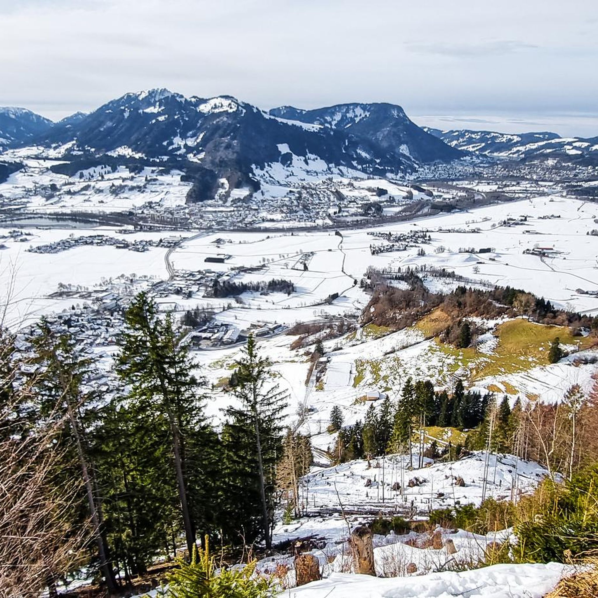
Road Cycling Routes around Burgberg im Allgäu
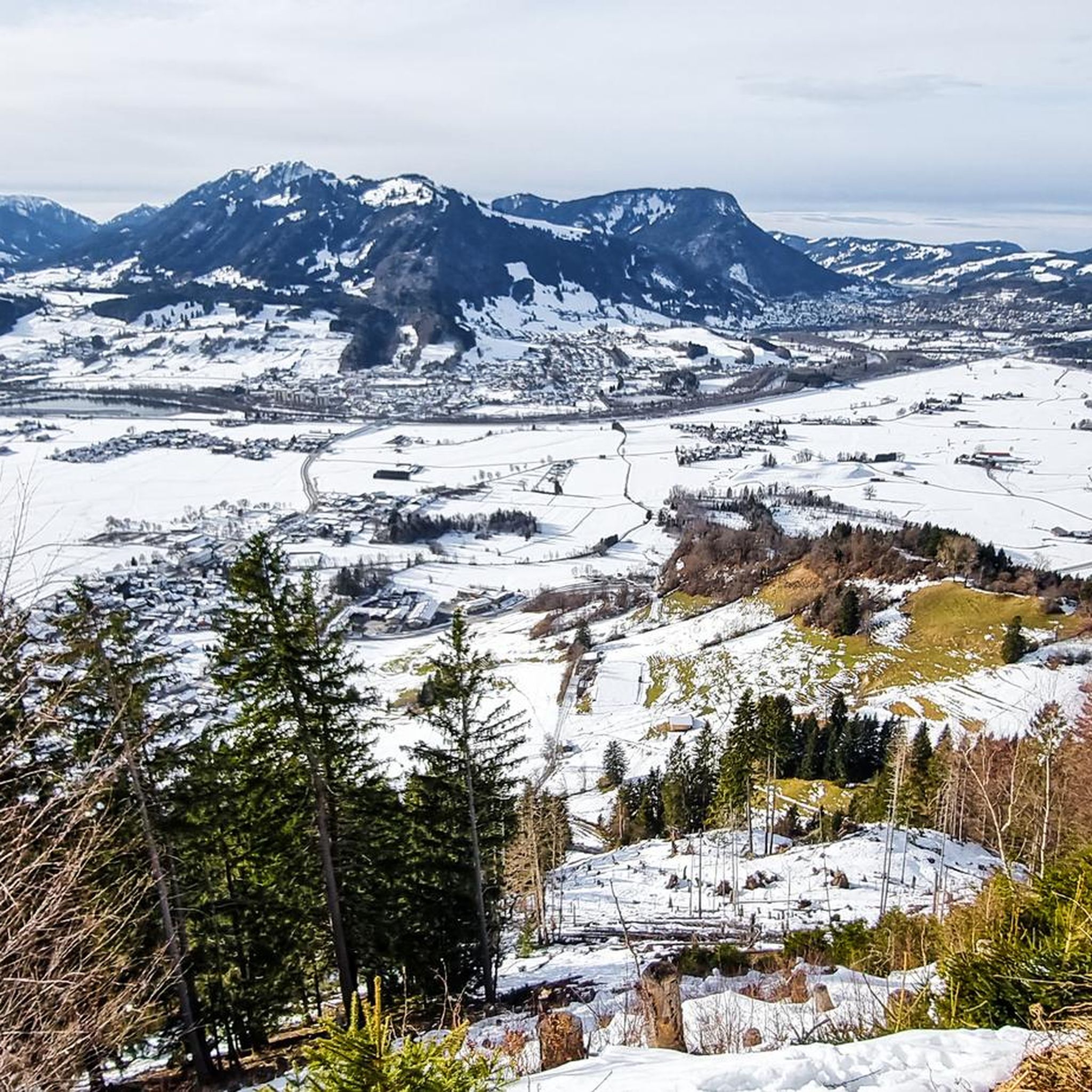
Cycling around Burgberg im Allgäu
Running Trails around Burgberg im Allgäu
Other adventures around Burgberg im Allgäu


Tips from the Community

Perfect start and end point for a hike.
0
0

Beautiful view of the Grünten, both the transmission tower and the hunter's monument.
0
0

Hiking parking lot 6€ day ticket Don't forget your change or use the Parkster app
0
0
The tour is doable for everyone, provided you're not hiking against a time limit. It's also no problem with children who have alpine experience. I'm always cautious at the summit and put on my climbing harness and fall protection early on!
0
0

Weather conditions: Wet, muddy, and slippery, approximately 17°C. Difficulty: Only for experienced hikers with basic climbing experience. Hazards: Risk of slipping and falling. Even if it feels daunting, a via ferrata set is highly recommended for the short sections secured with steel cables – especially for beginners. Since the route runs directly along a rocky edge, you don't want to fall. It's also recommended to wear proper hiking boots. On the climbing sections and extremely uneven trails, you can easily sprain your ankles in regular hiking boots.
3
0

Interesting steep climb, small quiet summit with beautiful panoramic view.
2
0
Frequently Asked Questions
How many mountaineering routes are available in Burgberg im Allgäu?
There are over 10 distinct mountaineering routes around Burgberg im Allgäu, offering a variety of experiences from moderate to difficult. The region is known for its challenging ridge walks and panoramic views.
Are there any easy mountaineering routes for beginners in Burgberg im Allgäu?
While many routes in Burgberg im Allgäu are rated difficult, there is at least one easy route and one moderate route available. For beginners, it's advisable to start with the less demanding options to get accustomed to the terrain. Always check the route details for elevation gain and distance.
What are some challenging mountaineering routes in the area?
Burgberg im Allgäu is renowned for its challenging ascents. Routes like the Ridge on the Burgberger Horn – Burgberger Hörnle Summit loop and the Burgberger Hörnle Summit – Ridge on the Burgberger Horn loop offer continuous climbing and significant elevation changes, providing a demanding experience for experienced mountaineers.
Can I find circular mountaineering routes around Burgberg im Allgäu?
Yes, many of the mountaineering routes in Burgberg im Allgäu are designed as loops, allowing you to start and end at the same point. Examples include the popular Burgberger Hörnle Summit – View of the Allgäu Main Ridge loop, which takes you through mountain forests and open ridges.
What kind of natural attractions can I see along the mountaineering routes?
The region boasts several impressive natural attractions. You can encounter the dramatic Starzlach Gorge or the picturesque Hinanger Waterfall. Many routes also offer stunning views of the Grünten Summit and the Allgäu Main Ridge.
Are there any caves to explore near the mountaineering trails?
Yes, the area around Burgberg im Allgäu features several interesting caves and grottoes. You might discover the Lohweg Grotto or the Rock Overhang Cave (Allgäu). Some trails, like the Forest Trail with Grotto and Valley View, even incorporate these natural formations.
What is the best time of year for mountaineering in Burgberg im Allgäu?
The late spring to early autumn months (May to October) generally offer the most favorable conditions for mountaineering in Burgberg im Allgäu, with stable weather and clear trails. However, always check local weather forecasts and trail conditions before heading out, as mountain weather can change rapidly.
Are dogs allowed on the mountaineering trails in Burgberg im Allgäu?
Many trails in the Allgäu region are dog-friendly, but it's always best to check specific route regulations. Keep your dog on a leash, especially in areas with livestock or wildlife, and ensure they are fit enough for the challenging terrain and elevation changes typical of mountaineering routes here.
Where can I find parking for mountaineering routes in Burgberg im Allgäu?
Designated parking areas are typically available at the starting points of popular mountaineering routes in and around Burgberg im Allgäu. Look for signs indicating 'Wanderparkplatz' (hiking parking) or check the route descriptions on komoot for specific parking recommendations near trailheads.
Is public transport available to access mountaineering trails?
Public transport options, primarily local bus services, connect Burgberg im Allgäu with surrounding villages and some trailheads. While not all starting points may be directly accessible by public transport, it's worth checking local bus schedules for connections to the general area of your chosen route.
What do other mountaineers say about the routes in Burgberg im Allgäu?
The mountaineering routes in Burgberg im Allgäu are highly regarded by the komoot community, boasting an average rating of 4.5 out of 5 stars from over 100 reviews. Mountaineers frequently praise the challenging ridge walks, the rewarding panoramic views of the Allgäu Main Ridge, and the well-maintained trails.
Are there any mountaineering routes with cafes or refreshment stops nearby?
Yes, some routes, particularly those that pass through or near mountain huts (Alpen) or villages, offer opportunities for refreshment. For example, the Grüntenhaus – Hunter's Memorial on the Grünten loop passes by Grüntenhaus, which often provides food and drinks.
Most popular routes around Burgberg im Allgäu
Most popular attractions around Burgberg im Allgäu

Get inspired with the komoot mobile app


Explore more
Browse the best Mountain Hikes & Routes in other regions.
