The best running trails around Magherintendry
305
runners
15
runs
Jogging routes around Magherintendry are situated within County Fermanagh, a region characterized by extensive lakelands, rivers, and dense forests. The area offers a diverse topography of rolling hills and scenic valleys, providing varied terrain for running. This landscape makes it suitable for a range of outdoor activities, including jogging and trail running.
Best jogging routes around Magherintendry
- The most popular jogging route is Causeway Coast Way, a 15.9 miles (25.6 km) trail that takes 3 hours 6 minutes to…
Last updated: June 25, 2026
77
runners
25.6km
03:06
370m
370m
The Causeway Coast Way presents a difficult jogging challenge, covering 15.9 miles (25.6 km) with an elevation gain of 1205 feet (367 metres). You can expect to complete this route…
30
runners
9.57km
01:08
70m
70m
Jog the moderate 5.9-mile Causeway Coast Way, featuring stunning coastal views, the Giant's Causeway, and varied terrain.

Sign up for free
38
runners
7.70km
00:48
40m
40m
Moderate run. Good fitness required. Mostly paved surfaces. Suitable for all skill levels.
23
runners
7.04km
00:44
50m
50m
Moderate run. Good fitness required. Mostly paved surfaces. Suitable for all skill levels.
16
runners
10.7km
01:08
60m
60m
Moderate run. Good fitness required. Mostly paved surfaces. Suitable for all skill levels.
Get access to more routes and recommendations from other explorers.
Sign up for free
Already have an account?
Our route recommendations are based on thousands of hikes, rides, and runs completed by other people on komoot.
Start today with a free account
Your next adventure awaits.
Login or Signup
Popular around Magherintendry
Tips from the Community


The diesel train runs between the picturesque town of Bushmills and the popular Giant's Causeway. In 1883, the original tramway was the first long electric tramway in the world!
0
0

Beautiful Portballintrae. Originally a fishing village, nestled around the perfect horse shoe shaped Ballintrae Bay, If you are lucky enough to catch a mid Summer sunset here you will be blessed. The Giant’s Causeway Tramway takes you from Giant's Causeway to Bushmills, and runs through the sand dunes above the largest beach, commonly known as Runkerry Strand. There are walks and trails throughout.
0
0


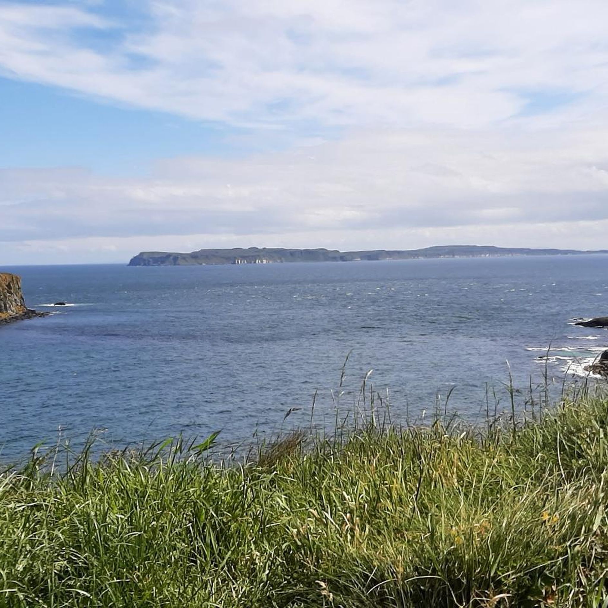
This long, flat stretch of pathway that runs along the Bushmills & Giant's Causeway railway line, the perfect place for a jog. You can enjoy vistas of ocean and beaches and the wonderful Giant Causeway Coast. If you like, you can jog one way and return on the train. This is a great route for train lovers, as it's likely you'll see the beautiful old train passing as you make your way along. It's a nice idea to walk one way, and catch the train back, taking it all the wonderful sights on your way.
1
0
Portballintrae is a beautiful seaside village located along the stunning Causeway Coast in Northern Ireland. Portballintrae has a number of lovely attractions to keep you busy and is the closest village to the famous Dunluce Castle.
2
0

would have to be taken care of
0
1
Frequently Asked Questions
How many running routes are available around Magherintendry?
There are over 20 running routes in the Magherintendry area, offering a diverse range of options for joggers and trail runners. These routes are situated within County Fermanagh, known for its extensive lakelands, rivers, and forests.
What kind of terrain can I expect on the running trails in the Magherintendry area?
The Magherintendry area, part of County Fermanagh, offers a varied topography. You can expect a mix of rolling hills, scenic valleys, and coastal paths. The region is characterized by its lakelands and dense forests, providing diverse environments from peaceful wooded trails to more open, panoramic routes.
Are there running routes suitable for beginners or those looking for an easy jog?
Yes, there is at least one easy running route available around Magherintendry. The wider Fermanagh area also offers accessible paths, such as those along the loughshore in Enniskillen, which are ideal for a more relaxed jog with scenic views.
What are some options for experienced runners seeking a challenging trail run?
For experienced runners, there are 3 difficult routes available. One challenging option is the Causeway Coast Way, which spans approximately 25.6 km and offers extensive coastal views. Another demanding trail is the Giant's Causeway loop from Lisbellanagroagh More, covering about 20 km with significant elevation changes.
What natural landmarks or scenic views can I discover while jogging near Magherintendry?
The region is rich in natural beauty. Many routes offer views of the iconic Giant's Causeway. You might also encounter unique geological formations like The Organ or Fionn Mac Cumhaill's Shoe. The Amphitheatre (Port Reostan) also provides stunning coastal vistas.
Are there any historical sites or points of interest along the running paths?
Yes, the area around Magherintendry features several historical points of interest. You can find routes that pass by the dramatic ruins of Dunluce Castle or Dunseverick Castle, offering a glimpse into the region's past amidst your run.
Are there any circular running routes available?
Yes, several circular running routes are popular in the area. For example, the View of Giant's Causeway – Giant's Causeway loop from Portballintrae is a moderate 10.9 km path that brings you back to your starting point after enjoying scenic views of the coastline.
What do other runners enjoy most about jogging in Magherintendry?
The running routes around Magherintendry are highly rated by the komoot community, with an average score of 5.0 stars. Runners often praise the diverse terrain, from coastal paths to forest trails, and the breathtaking natural scenery, particularly the views of the Giant's Causeway and the Fermanagh Lakelands.
Is the Magherintendry area suitable for family-friendly running or walking?
While specific family-friendly running routes are not detailed, the broader County Fermanagh area offers many forest parks and loughshore paths that are generally suitable for families. These often feature well-maintained trails and scenic, less strenuous options perfect for a family outing.
Can I bring my dog on the running trails near Magherintendry?
Many outdoor trails in County Fermanagh are dog-friendly, especially in forest parks and along loughshore paths. However, it's always recommended to check specific trail regulations or local signage for any restrictions, especially regarding leash requirements or protected wildlife areas, to ensure a pleasant experience for everyone.
What is the best season for jogging in the Magherintendry region?
The Fermanagh area offers beautiful running conditions throughout much of the year. Spring and autumn provide pleasant temperatures and vibrant scenery. Summer is also popular, though some coastal routes can be exposed. Even in winter, many forest tracks and well-maintained paths remain accessible, offering a different, often serene, experience.
Are there any long-distance running trails in the area?
Yes, for those looking for longer distances, the Causeway Coast Way is a significant option, offering a challenging 25.6 km run with extensive coastal views. Another substantial route is the Giant's Causeway loop from Lisbellanagroagh More, which covers approximately 20 km.
Are there any running routes that offer views of Lough Erne?
While the guide focuses on routes closer to the Causeway Coast, Magherintendry is located within County Fermanagh, which is dominated by Lough Erne. The lough shores and many islands provide numerous scenic routes for jogging with picturesque water views, particularly in areas like Castle Archdale Country Park or Lough Navar Forest.
Most popular routes around Magherintendry
Most popular attractions around Magherintendry

Get inspired with the komoot mobile app


Explore more
Browse the best Running Trails & Routes in other regions.
