The best walks and hikes around Magherintendry
4.6
(753)
6,650
hikers
62
hikes
Hiking trails around Magherintendry offer access to the diverse landscapes of County Londonderry, including the nearby Sperrin Mountains. This region is characterized by glaciated terrain, featuring moorland, blanket bog, and rounded summits. Visitors can also explore ancient woodlands, wetlands, and meadows in local nature reserves. The area provides a variety of natural features for outdoor activities.
Best hiking trails around Magherintendry
- The most popular hiking route is Causeway Coast Way: Bushmills to Giant's Causeway, a 5.4 miles (8.7 km)…
Last updated: June 25, 2026
4.7
(9)
63
hikers
8.69km
02:16
70m
70m
Moderate hike. Good fitness required. Easily-accessible paths. Suitable for all skill levels.
4.5
(22)
204
hikers
11.4km
03:02
120m
120m
Moderate hike. Good fitness required. Easily-accessible paths. Suitable for all skill levels.

Sign up for free
3.8
(4)
82
hikers
11.3km
03:03
140m
140m
Moderate hike. Good fitness required. Easily-accessible paths. Suitable for all skill levels.
4.0
(1)
14
hikers
Moderate hike. Good fitness required. Easily-accessible paths. Suitable for all skill levels.
4.5
(4)
8
hikers
10.7km
02:50
100m
100m
Moderate hike. Good fitness required. Easily-accessible paths. Suitable for all skill levels.
Get access to more routes and recommendations from other explorers.
Sign up for free
Already have an account?
Our route recommendations are based on thousands of hikes, rides, and runs completed by other people on komoot.
Start today with a free account
Your next adventure awaits.
Login or Signup
Popular around Magherintendry

Tips from the Community

Totally overcrowded, but still worth seeing.
0
0
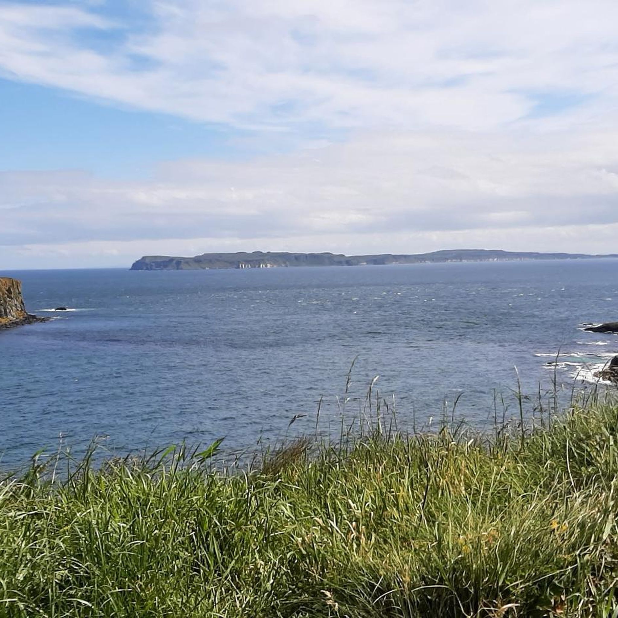
Many steps lead upwards, the reward is the beautiful view.
0
0

Fantastically beautiful view, landscape a bit rough but the people really warm-hearted ♥️ definitely want to go again 😊☀️
0
0


Shop with a good selection of whiskeys
3
0

A dream in good weather
0
0
Frequently Asked Questions
How many hiking trails are available around Magherintendry?
There are over 60 hiking routes available around Magherintendry. These trails offer a diverse range of experiences, from coastal paths to glaciated moorland and ancient woodlands, catering to various skill levels.
Are there hiking trails suitable for beginners or families in Magherintendry?
Yes, Magherintendry offers a good selection of trails for beginners and families. Out of the over 60 routes, 35 are rated as easy, providing accessible options for those looking for a gentle walk. The nearby Drumnaph Nature Reserve, for example, features graded walking trails like the easy 1 km Ruachan Trail.
Are there any circular hiking routes near Magherintendry?
Yes, there are several circular routes available. For instance, the iconic Giant's Causeway – The Organ — Giant's Causeway loop from Bushmills is a moderate 11.4 km path exploring the famous basalt columns. Another option is The Organ — Giant's Causeway – Giant's Causeway loop from Bushmills, which is 11.3 km long.
What natural attractions or landmarks can I see while hiking near Magherintendry?
The region around Magherintendry is rich in natural beauty and historical sites. You can explore the unique basalt columns of the Giant's Causeway, witness the impressive rock formations like The Organ, or discover Fionn Mac Cumhaill's Shoe. Additionally, the Amphitheatre (Port Reostan) offers stunning views, and you can visit the historic Dunseverick Castle.
What is the best time of year to go hiking in Magherintendry?
The Sperrin Mountains, which are close to Magherintendry, offer beautiful landscapes year-round. However, the Glenshane Pass, traversing the mountains, can experience challenging weather in winter. For the most comfortable hiking conditions, spring, summer, and early autumn generally provide milder temperatures and more stable weather, making them ideal for exploring the diverse terrain.
Are there any dog-friendly walks around Magherintendry?
Many of the outdoor areas and trails in the region are suitable for dogs, provided they are kept under control, especially around livestock or wildlife. Drumnaph Nature Reserve, for example, offers walking trails through ancient woodland and meadows where dogs are generally welcome on leads. Always check specific trail regulations before you go.
Where can I find parking for hiking trails near Magherintendry?
Parking availability varies by trail. For popular coastal routes like those near the Giant's Causeway, designated car parks are usually available, though they may incur a fee. For trails within areas like the Sperrin Mountains or Drumnaph Nature Reserve, smaller car parks or roadside parking might be found near trailheads. It's advisable to check specific route details for parking information.
What do other hikers enjoy most about hiking in Magherintendry?
The hiking routes around Magherintendry are highly rated by the komoot community, with an average score of 4.6 stars from over 670 reviews. Hikers often praise the diverse landscapes, from the dramatic coastal scenery to the tranquil glaciated moorland and ancient woodlands. The variety of trails, suitable for different abilities, is also frequently highlighted.
How long do hikes typically take around Magherintendry?
Hike durations vary significantly depending on the route's length and difficulty. For example, the Causeway Coast Way: Bushmills to Giant's Causeway, a 8.7 km trail, typically takes around 2 hours 16 minutes. Longer, more challenging routes like Hamilton's Seat Viewpoint – The Organ — Giant's Causeway loop from Bushmills, which is 20.3 km, can take over 5 hours.
What kind of landscapes can I expect to see while hiking in the Magherintendry area?
The Magherintendry area offers a rich tapestry of landscapes. You'll encounter the dramatic coastal scenery of the Causeway Coast, with its iconic basalt columns and cliffs. Inland, the nearby Sperrin Mountains present a diverse glaciated landscape featuring extensive moorland, blanket bog, and rounded summits. Ancient woodlands, wetlands, and meadows can also be explored in local nature reserves like Drumnaph.
Are there opportunities for longer, more challenging hikes?
Yes, while there are many easy and moderate options, the region also caters to more experienced hikers. For instance, the Hamilton's Seat Viewpoint – The Organ — Giant's Causeway loop from Bushmills is a difficult 20.3 km route. The Sperrin Mountains themselves offer challenging ascents, including Sawel Mountain, the highest peak at 678 meters.
Can I find viewpoints with scenic vistas along the trails?
Absolutely. The region is known for its scenic beauty. Along the Causeway Coast, you'll find numerous viewpoints offering panoramic views of the Atlantic and the unique geological formations. The Sperrin Mountains also provide elevated positions for stunning vistas of the glaciated landscape. The Amphitheatre (Port Reostan) is a notable viewpoint.
Most popular routes around Magherintendry
Most popular attractions around Magherintendry

Get inspired with the komoot mobile app


Explore more
Browse the best Hikes in other regions.
