The best mountain hikes around Forst Schmalwasser-Nord
3.0
(3)
11
hikers
4
hikes
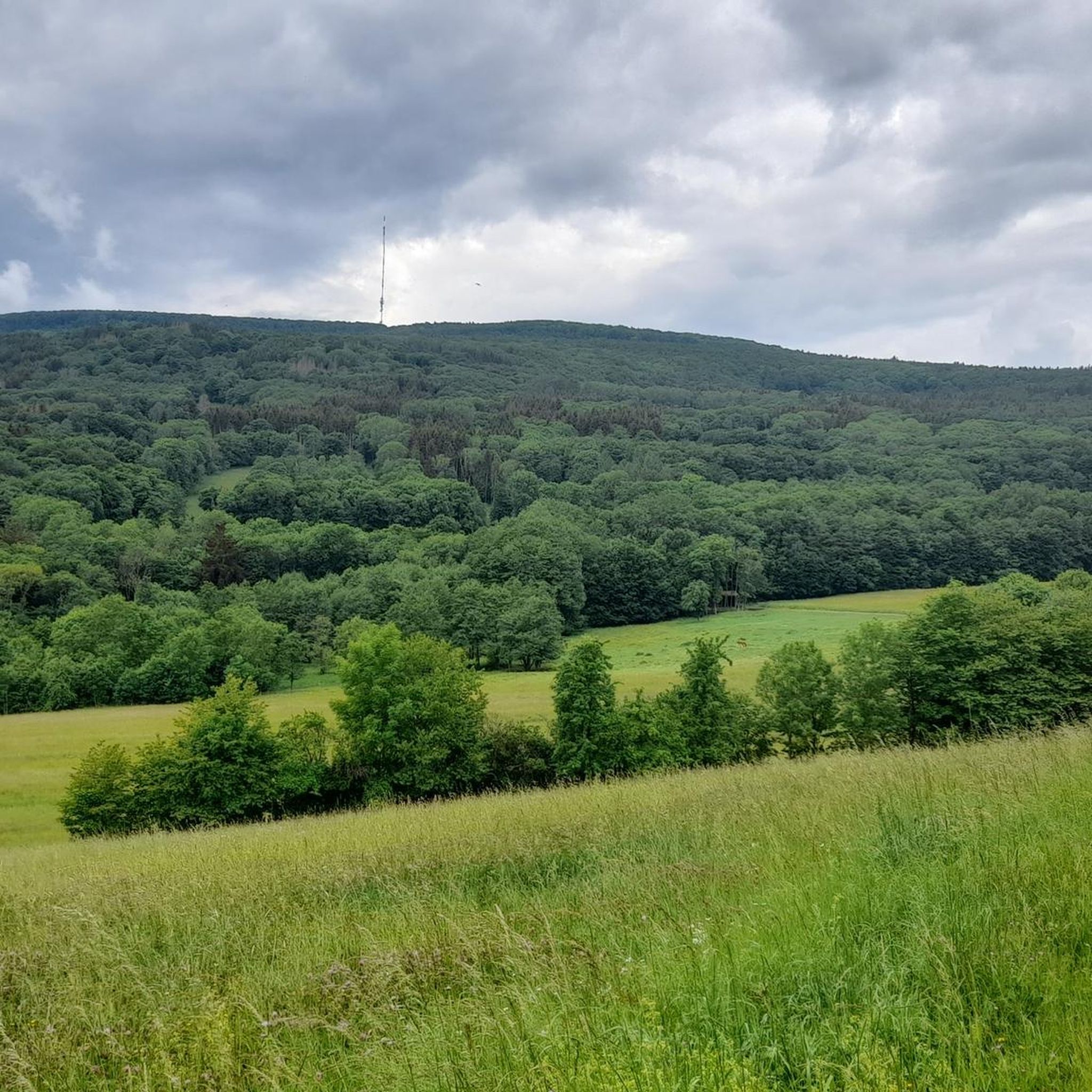
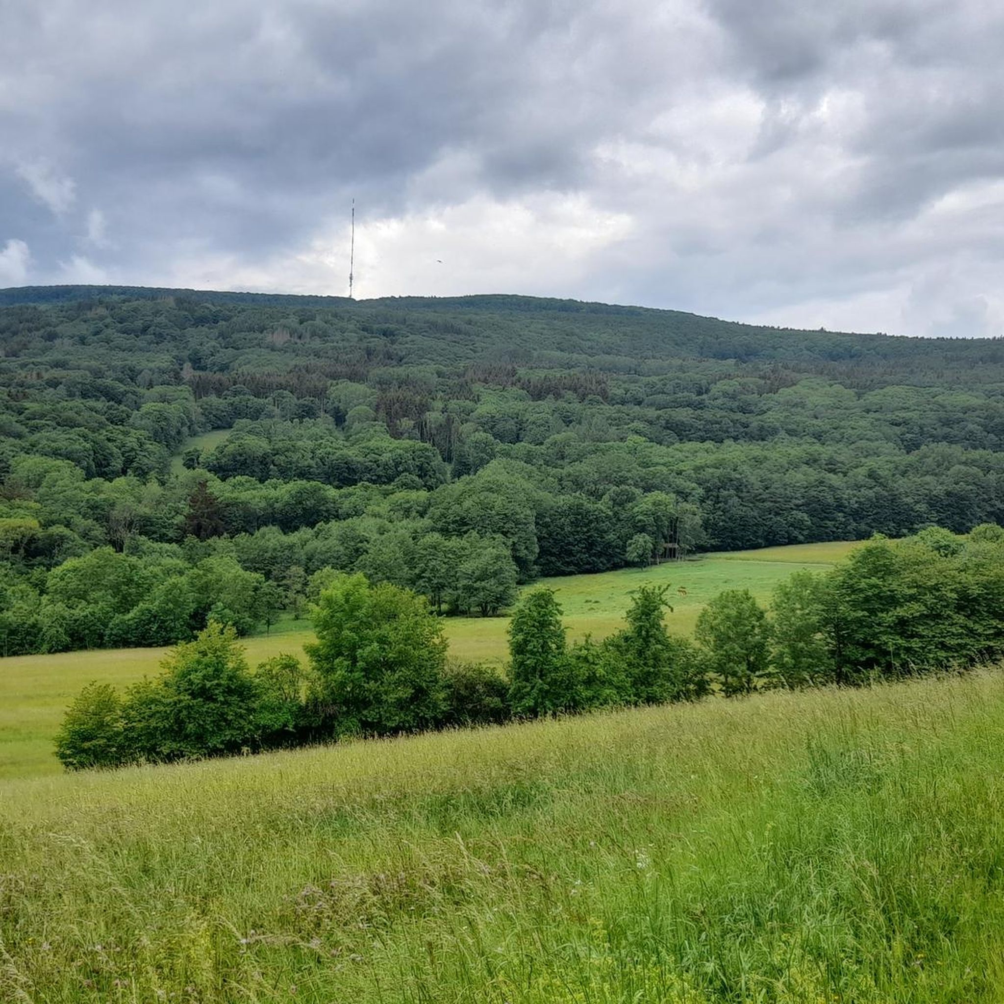
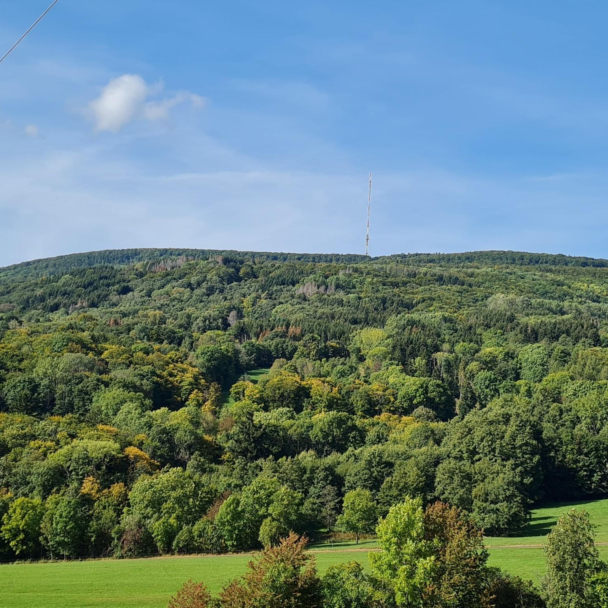
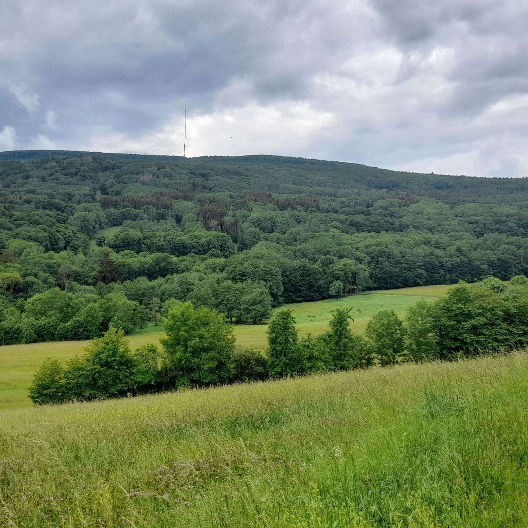
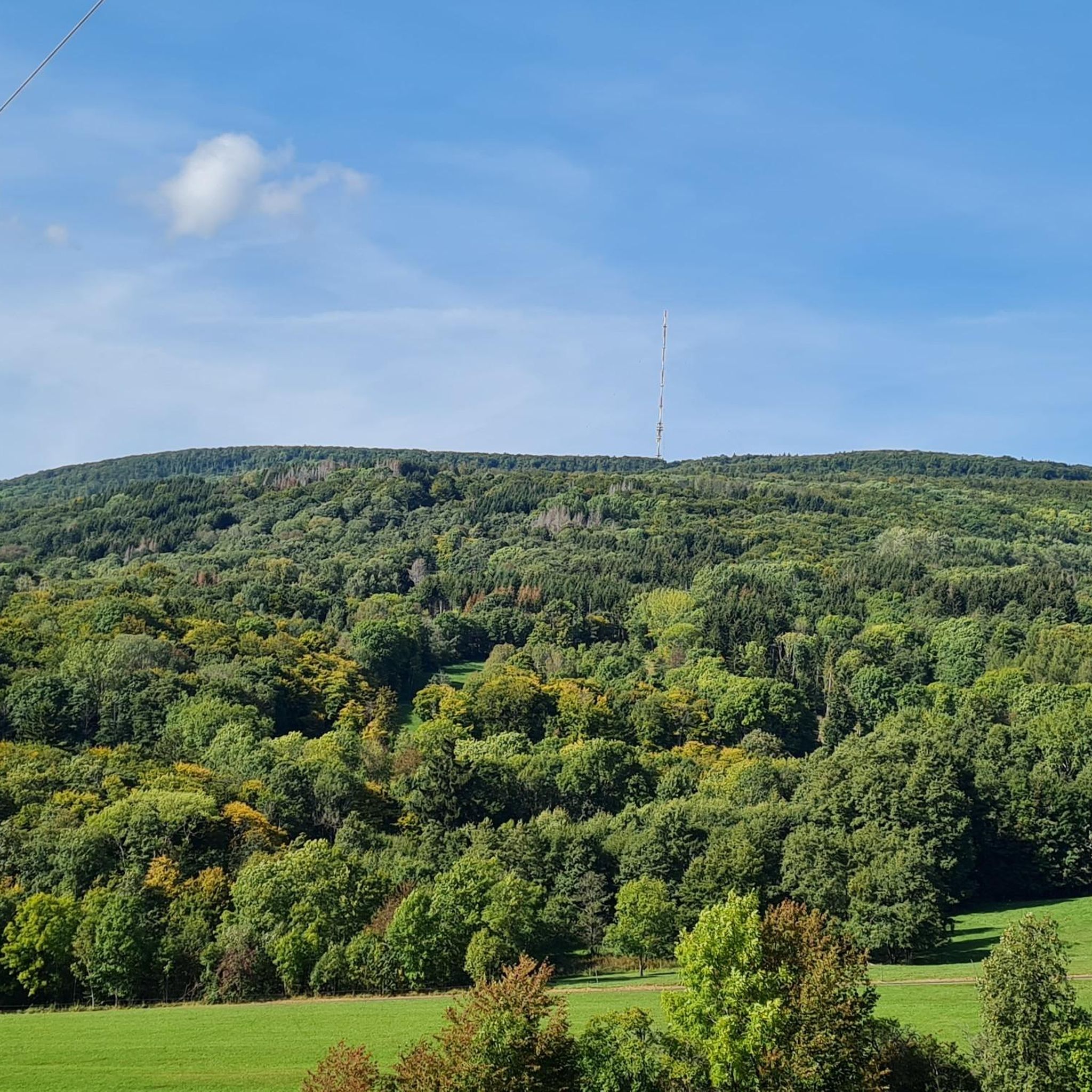
Mountaineering routes Forst Schmalwasser-Nord traverse a diverse, uninhabited forested area within the Bavarian Rhön, characterized by significant elevation changes. The region features varied terrain, including paths with considerable elevation gains, offering experiences akin to mountaineering in a low-mountain range setting. Notable peaks like the southern part of the Feldberg (570 meters) and the prominent Kreuzberg contribute to the area's mountainous character.
Best mountaineering routes around Forst Schmalwasser-Nord
- The most popular mountaineering route is Marienbrünnlein – Kreuzberg Summit loop from Unterweißenbrunn…
Last updated: July 2, 2026
5.0
(2)
6
hikers
13.6km
04:12
490m
490m
Moderate mountaineering route. Good fitness required. Easily-accessible paths. Suitable for all skill levels.
2
hikers
Moderate mountaineering route. Good fitness required. Easily-accessible paths. Suitable for all skill levels.

Sign up for free
2
hikers
Moderate mountaineering route. Good fitness required. Easily-accessible paths. Suitable for all skill levels.
1.0
(1)
1
hikers
Moderate mountaineering route. Good fitness required. Easily-accessible paths. Suitable for all skill levels.
Our route recommendations are based on thousands of hikes, rides, and runs completed by other people on komoot.
Start today with a free account
Your next adventure awaits.
Login or Signup

Tips from the Community

Great view from the Osterburg
0
0


You can stop by
3
0

Really nice and quiet in the morning. From 12pm onwards it is often very busy.
1
1

This small fountain is located on the way down from Kreuzberg to Neustädter Haus.
0
0

Very nice town with town hall.
5
0

Frequently Asked Questions
What kind of terrain can I expect on mountaineering routes in Forst Schmalwasser-Nord?
Forst Schmalwasser-Nord offers a diverse, forested landscape within the Bavarian Rhön. You can expect significant elevation changes, with routes featuring considerable gains, providing an experience akin to mountaineering in a low-mountain range setting. The area is characterized by dense woodlands and varied terrain.
Are there any challenging routes for experienced mountaineers?
While the routes listed in this guide are generally classified as moderate, the region itself is known for trails that can be quite strenuous, involving significant elevation gains. Some paths in the broader Rhön area are categorized as 'hard' and require good to very good fitness, with ascents of up to 1,000 feet in two hours or over 3,000 feet for longer treks.
What are the typical lengths and durations of mountaineering routes in this area?
The mountaineering routes in Forst Schmalwasser-Nord vary in length and duration. For instance, the Marienbrünnlein – Kreuzberg Summit loop from Unterweißenbrunn is about 8.5 miles (13.6 km) and takes around 4 hours 12 minutes. Shorter options, like the View from the summit of Kreuzberg – Kreuzberg Monastery loop from Bischofsheim in der Rhön, are about 4.4 miles (7.1 km) and can be completed in approximately 2 hours 21 minutes.
Are there any circular mountaineering routes available?
Yes, many of the mountaineering routes in Forst Schmalwasser-Nord are circular. For example, the Osterburg castle ruins – Kreuzberg Monastery loop from Bischofsheim in der Rhön is a 6.9-mile (11.1 km) circular trail that takes about 3 hours 38 minutes to complete.
What interesting landmarks or natural features can I see along the routes?
The routes often pass by significant landmarks and natural features. You can explore the prominent Kreuzberg, which features the Golgotha group (Three Crosses) and the Kreuzberg summit cross and radio tower. The area also boasts natural monuments and dramatic canyons, such as the Schwarzbach Gorge and the Teufelsmühle (Devil’s Mill) Waterfall.
What do other mountaineers say about the routes in Forst Schmalwasser-Nord?
The routes in Forst Schmalwasser-Nord are highly rated by the komoot community, with an average score of 3.0 stars from 3 reviews. Mountaineers often appreciate the diverse terrain and the challenging elevation changes that provide a rewarding experience in this low-mountain range setting.
Are there any routes that offer panoramic views?
Absolutely. The region is known for providing impressive views of the surrounding Rhön landscape. Routes that ascend to the Kreuzberg summit, such as the View from the summit of Kreuzberg – Kreuzberg Monastery loop from Bischofsheim in der Rhön, offer excellent panoramic vistas, including sights like the radar station on the Wasserkuppe.
Are there any historical sites or ruins to explore?
Yes, some routes lead past historical sites. For example, the Osterburg castle ruins – Kreuzberg Monastery loop from Bischofsheim in der Rhön takes you through forested terrain and past the Osterburg castle ruins, adding a historical dimension to your mountaineering experience.
What is the highest point I can reach on a mountaineering route in Forst Schmalwasser-Nord?
The highest point within Forst Schmalwasser-Nord is the southern part of the Feldberg, standing at 570 meters above sea level. Many routes also lead to the prominent Kreuzberg, which offers significant elevation and rewarding views.
Are there any routes that pass by monasteries or religious sites?
Yes, the Kreuzberg is a significant mountain that also houses a monastery, offering cultural enrichment alongside natural beauty. Several routes, including The steps up to Kreuzberg – Kreuzberg Monastery loop from Bischofsheim in der Rhön, pass by or lead to the historic Kreuzberg Monastery.
How many mountaineering routes are covered in this guide for Forst Schmalwasser-Nord?
This guide features 4 distinct mountaineering routes around Forst Schmalwasser-Nord, all offering moderate difficulty levels and significant elevation changes.
Most popular routes around Forst Schmalwasser-Nord
Most popular attractions around Forst Schmalwasser-Nord

Get inspired with the komoot mobile app


Explore more
Browse the best Mountain Hikes & Routes in other regions.
