The best gravel rides around Forst Schmalwasser-Nord
4.8
(12)
48
riders
6
rides
Gravel biking around Forst Schmalwasser-Nord features routes through varied terrain, including moorland, river valleys, and forested areas. The region is characterized by significant elevation changes, with many routes involving substantial climbs and descents. These trails often traverse natural parks and offer views of the surrounding landscape, including bodies of water like the Rotes Moor Pond and the Streu River. The area provides a mix of unpaved forest roads and mixed-surface paths.
Best gravel bike trails around Forst Schmalwasser-Nord
- The most…
Last updated: July 2, 2026
5.0
(2)
8
riders
Hard gravel ride. Very good fitness required. Mostly paved surfaces. Suitable for all skill levels.
4.8
(6)
21
riders
65.6km
03:58
860m
860m
Hard gravel ride. Very good fitness required. Mostly paved surfaces. Suitable for all skill levels.

Sign up for free
4.5
(4)
7
riders
26.1km
01:33
280m
280m
Moderate gravel ride. Good fitness required. Mostly paved surfaces. Suitable for all skill levels.
5
riders
Hard gravel ride. Very good fitness required. Mostly paved surfaces. Suitable for all skill levels.
5.0
(1)
8
riders
69.8km
04:06
880m
880m
Hard gravel ride. Very good fitness required. Mostly paved surfaces. Suitable for all skill levels.
Our route recommendations are based on thousands of hikes, rides, and runs completed by other people on komoot.
Start today with a free account
Your next adventure awaits.
Login or Signup

Tips from the Community

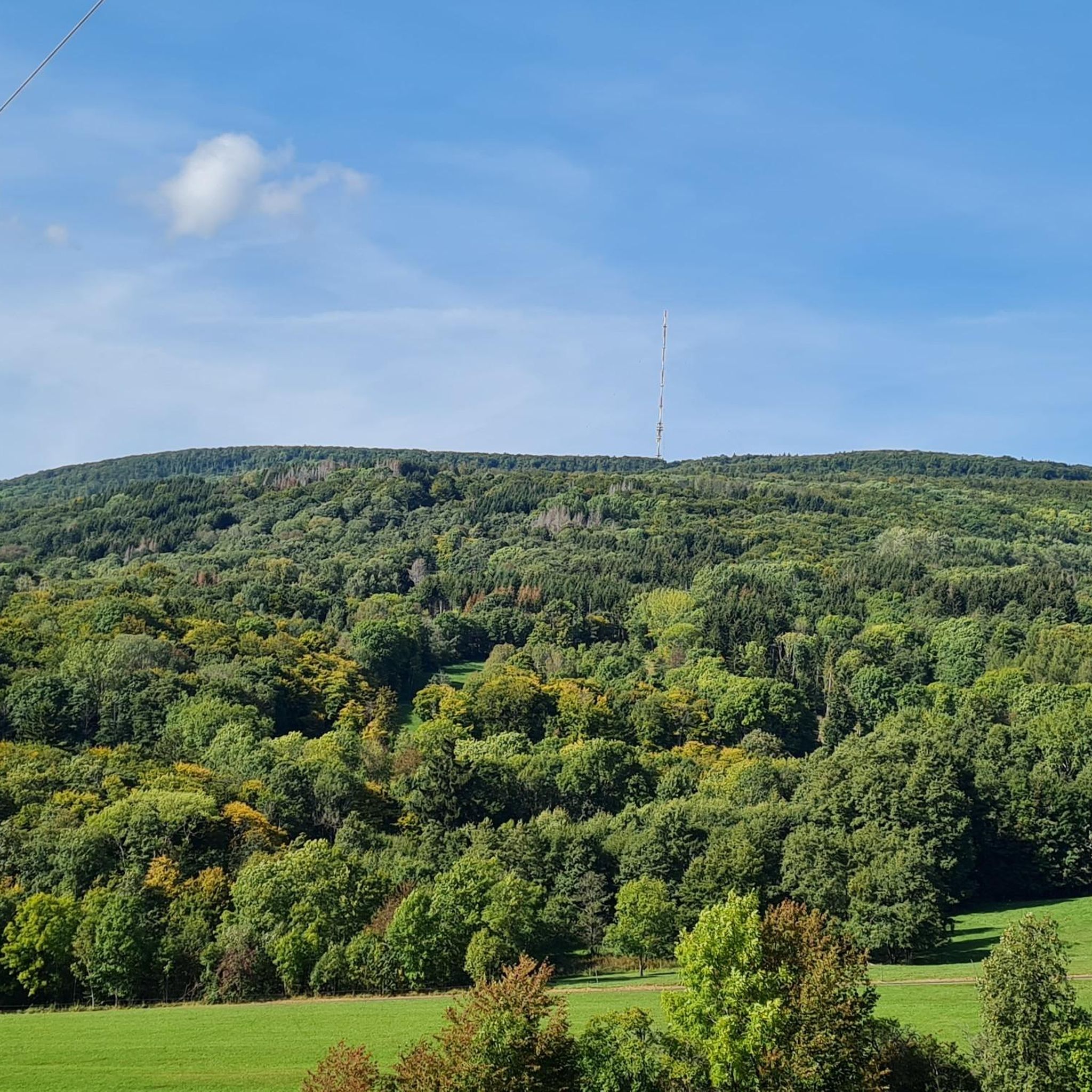
Yes, it looks quite impressive...
0
0

The center of Bischofsheim is super nice and definitely worth seeing on a tour.
0
0

Very worthwhile to walk there - beautiful view from the tower.
0
0

Beautiful bridge ensemble in the Lollbach valley.
1
0


very nice to drive there too!
0
0

In the middle of nature through meadows with autumn crocuses
0
0

With an area of 50 hectares, the Rote Moor is the second largest raised bog in the UNESCO Rhön Biosphere Reserve.
0
0
Frequently Asked Questions
How many gravel bike trails are available in Forst Schmalwasser-Nord?
Forst Schmalwasser-Nord offers a selection of 14 gravel bike trails. While many are rated difficult, there are also moderate options for those seeking a less strenuous ride.
Are there any easy or family-friendly gravel bike trails in Forst Schmalwasser-Nord?
Most gravel bike trails in Forst Schmalwasser-Nord are rated difficult due to significant elevation changes. However, there are a few moderate options. For a less challenging ride, consider the Marian Grotto Schönau – Weisbach Ford loop from Unterweißenbrunn, which is 26.1 km long with moderate climbs.
What kind of terrain can I expect on gravel bike routes in Forst Schmalwasser-Nord?
The region's gravel routes traverse varied terrain, including moorland, river valleys, and forested sections. You'll encounter significant elevation changes, offering both challenging climbs and rewarding descents through natural parks.
Are there any viewpoints or scenic spots along the gravel trails?
Yes, the area offers several scenic spots. For panoramic views, you might want to visit the View from Bergwachthütte. Many routes also offer views of the surrounding landscape, including bodies of water like the Rotes Moor Pond and the Streu River.
What is the best time of year for gravel biking in Forst Schmalwasser-Nord?
The best time for gravel biking in Forst Schmalwasser-Nord is generally from spring through autumn when the weather is milder and trails are clear. While winter riding is possible, be prepared for colder temperatures and potentially icy or snowy conditions, especially at higher elevations.
Are there any long-distance gravel bike routes for advanced riders?
Absolutely. Advanced riders will find several challenging long-distance routes. The Streu River in Ostheim – Historic centre of Fladungen loop from Steinacher Forst rechts der Saale is a demanding 101.6 km trail with over 1100 meters of elevation gain, perfect for experienced gravel bikers.
Where can I find places to eat or rest along the trails?
You'll find several huts and restaurants in the region that can serve as good resting points. Notable options include the Gemündener Hut, Würzburger Karl-Straub-Haus, and Jagdschloss Holzberghof.
What do other gravel bikers enjoy most about Forst Schmalwasser-Nord?
The gravel biking experience in Forst Schmalwasser-Nord is highly rated by the komoot community, with an average score of 4.7 stars. Reviewers often praise the challenging climbs, diverse landscapes ranging from moorland to river valleys, and the opportunity to explore natural parks.
Are there any circular gravel bike routes in the area?
Yes, many of the gravel bike trails in Forst Schmalwasser-Nord are designed as loops. For example, the popular Guckas Pass – Kreuzberg Monastery loop from Naturpark Bayerische Rhön is a 65.5 km circular route that takes you through a natural park and over a pass.
What natural features can I expect to see while gravel biking?
The region is rich in natural beauty. You can expect to see various bodies of water, including the Burgwallbach Lake and the Dragonfly Pond. The trails also often follow the Streu River, offering picturesque river valley views.
Is parking available near the gravel bike trails?
While specific parking areas are not detailed for every route, trailheads in natural areas like Forst Schmalwasser-Nord typically have designated parking spots. It's advisable to check the starting point of your chosen route on komoot for more precise parking information.
Can I reach the gravel trails using public transport?
Public transport options can vary depending on the specific trailhead. While some larger towns near Forst Schmalwasser-Nord may have bus or train connections, access directly to more remote trailheads might be limited. Planning your route start and end points with public transport in mind is recommended.
Most popular routes around Forst Schmalwasser-Nord
Most popular attractions around Forst Schmalwasser-Nord

Get inspired with the komoot mobile app


Explore more
Browse the best Gravel rides in other regions.
