The best mountain hikes around Frauenforst
4.8
(4)
23
hikers
8
hikes
Mountaineering around Frauenforst is characterized by a diverse landscape featuring dense woodlands, river valleys, and varied elevations. The region, situated near Kelheim, offers routes that traverse forested hillsides and provide views of historical landmarks. This area is defined by its natural beauty and accessible terrain, suitable for exploring on foot.
Best mountaineering routes around Frauenforst
- The most popular mountaineering route is Frauenhäusl forest restaurant – Etzenberg loop from Frauenhäusl, an easy 2.5 miles (4.1 km) trail that takes 1…
Last updated: July 5, 2026
1
hikers
4.12km
01:07
60m
60m
Easy mountaineering route. Great for any fitness level. Easily-accessible paths. Suitable for all skill levels.
4.7
(3)
9
hikers
13.6km
03:48
250m
250m
Moderate mountaineering route. Good fitness required. Easily-accessible paths. Suitable for all skill levels.

Sign up for free
5.0
(1)
5
hikers
9.71km
02:45
210m
210m
Moderate mountaineering route. Good fitness required. Easily-accessible paths. Suitable for all skill levels.
2
hikers
13.4km
03:39
190m
190m
Moderate mountaineering route. Good fitness required. Easily-accessible paths. Suitable for all skill levels.
1
hikers
7.04km
01:57
120m
120m
Hard mountaineering route. Great for any fitness level. Sure-footedness, sturdy shoes and alpine experience required.
Get access to more routes and recommendations from other explorers.
Sign up for free
Already have an account?
Our route recommendations are based on thousands of hikes, rides, and runs completed by other people on komoot.
Start today with a free account
Your next adventure awaits.
Login or Signup
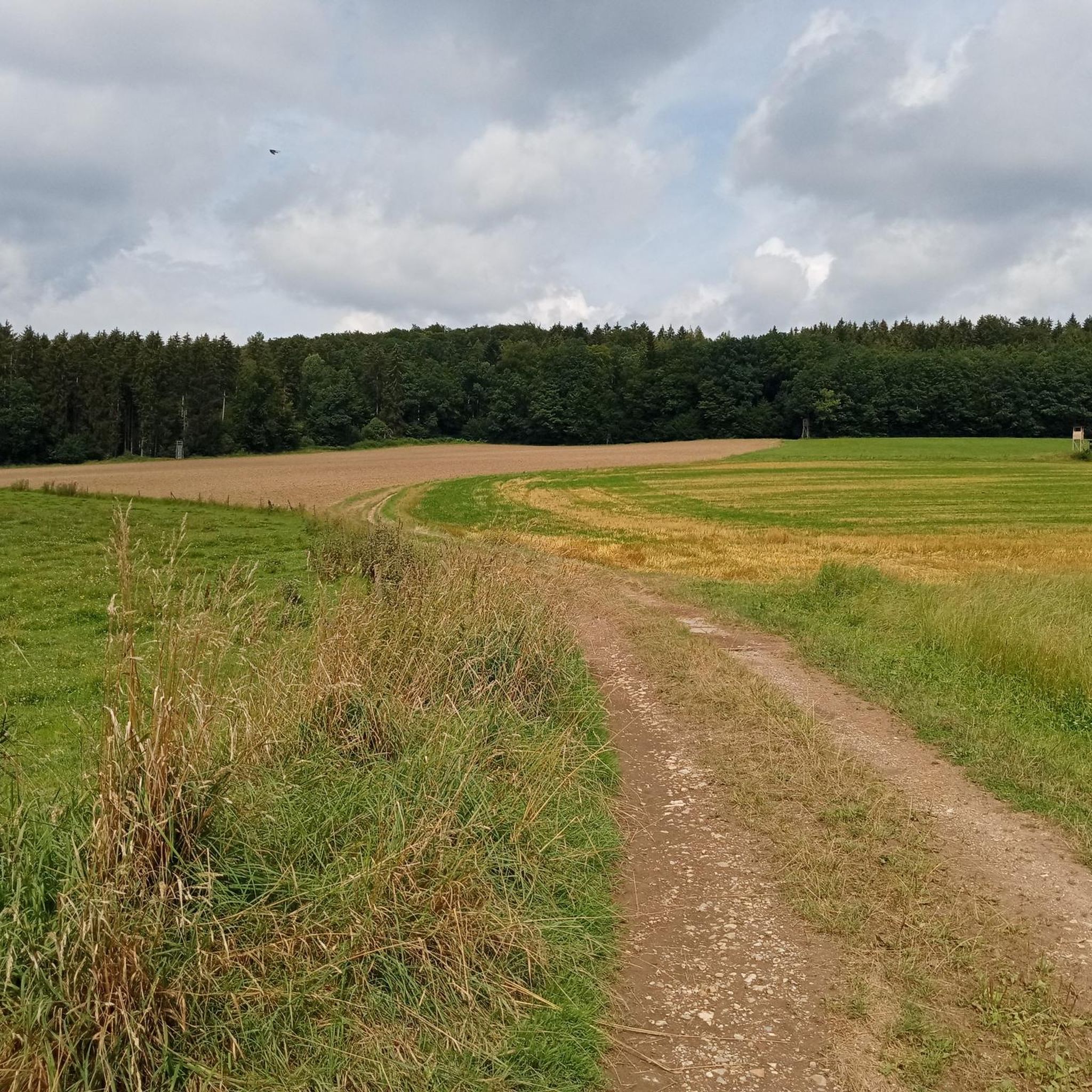
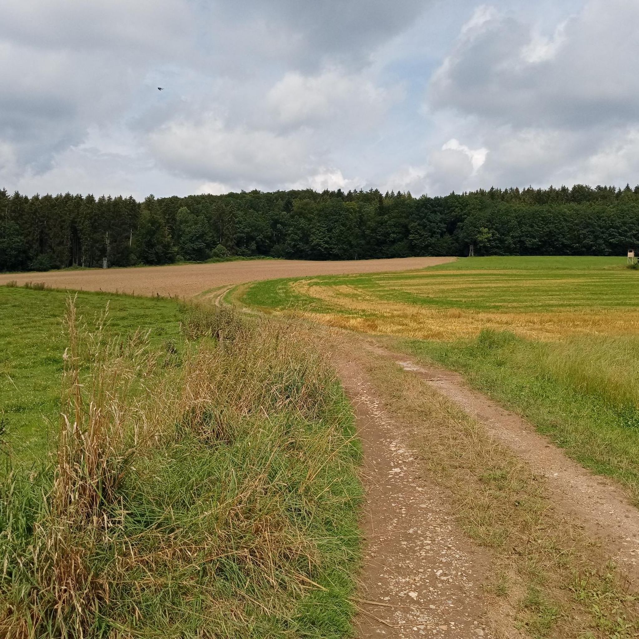

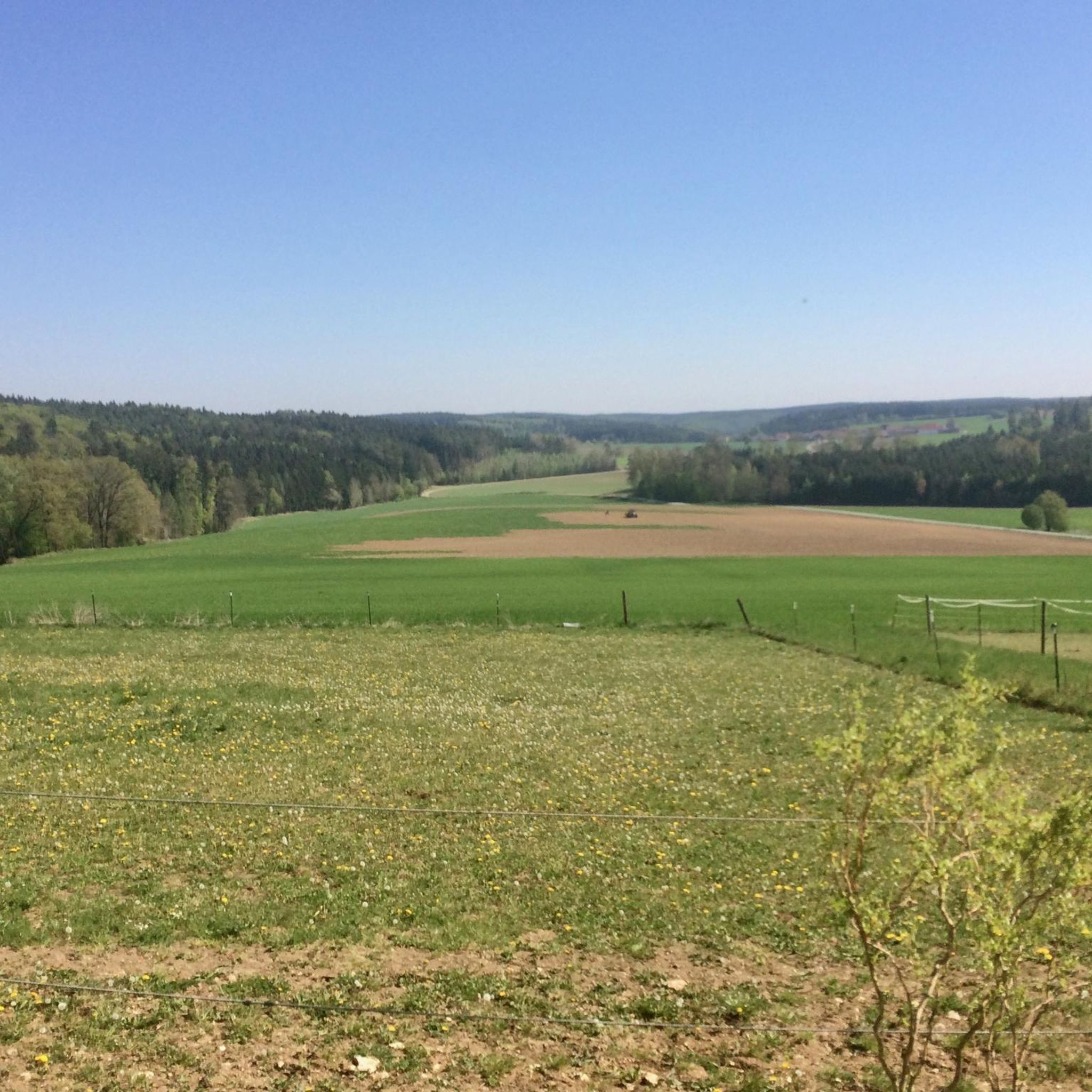
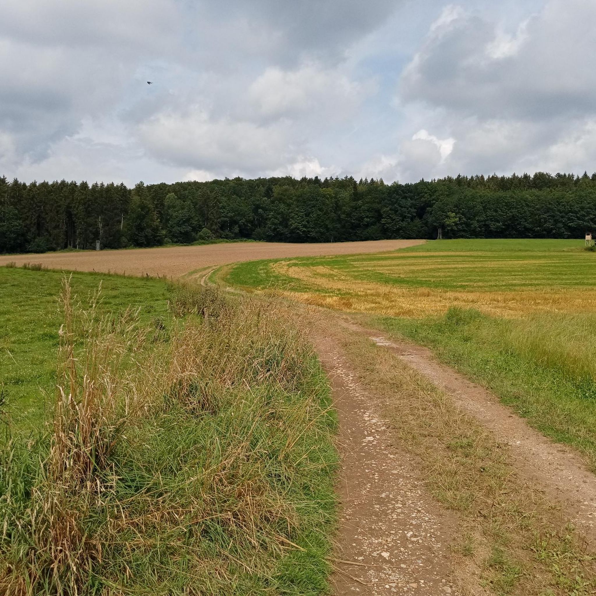
Tips from the Community

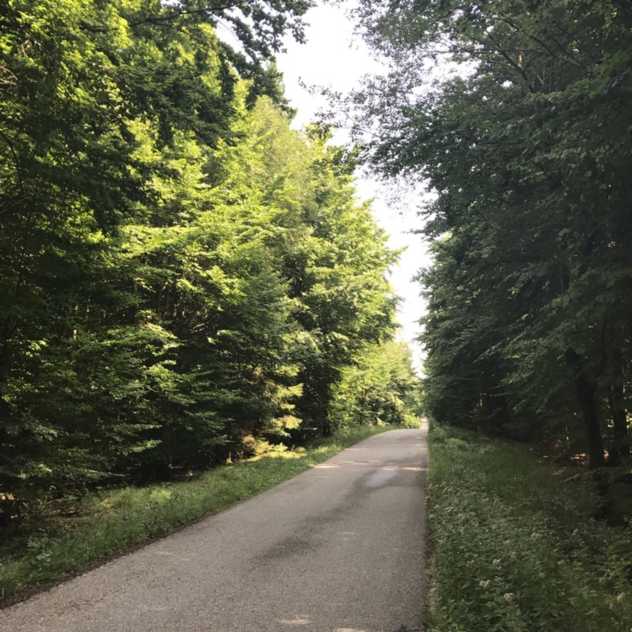
The Frauenhäusl-Trail, the "Flow-Trail Niederbayern", the Holy Josef Trail and the Goldberg-Trail (Kelheim) lie on a line. It's best to start at the top at Frauenhäusl. There is also the signpost of the UrTrails Altmühltal. Very nice long trail down towards Kehlheim. Complete route: either 1. Goldrush (UrTrails Altmühltal) https://www.herzstueck.bayern/poi/detail/goldrush-urtrails-altmuehltal-629d1307dc or 2. Pure Pleasure (UrTrails Altmühltal) https://www.herzstueck.bayern/poi/detail/pure-pleasure-urtrails-altmuehltal-d5276ff868
2
0

Beautiful restaurant with a shady beer garden, great snacks, friendly service, and fair prices.
7
0

At the pier you can also do the Kelheim round
0
0

The Höhlenburg Loch > a geotope The Höhlenburg Loch is one of only two cave castles in Bavaria (the second is in Stein an der Traun in Upper Bavaria). The lower, flatter part of the castle complex lies in slab dolomites belonging to the Velburg Horizon. The steep wall, at the base of which the (residential) caves appear, is formed by mass dolomites of the Middle Franconian Alb Formation. Bavarian State Office for the Environment (LfU). https://www.umweltatlas.bayern.de/standortauskunft/rest/reporting/sb_geotope/generate?additionallayerfieldvalue=375A026
1
0

Great selection of cakes. Rustic dining room with ancient gas lighting on the ceiling, as the Fraunhäusel is not connected to the electricity grid. Very nice service! 🍀😃
2
0

Interesting
3
0
Very nice
3
0

With a great beer garden, delicious food and fast and good service
1
0
Frequently Asked Questions
How many mountaineering routes are available in FrauenForest?
There are over 8 mountaineering routes around Frauenforst, offering a diverse range of experiences from easy forest walks to more challenging ascents.
Are there any easy mountaineering routes suitable for beginners or families in FrauenForest?
Yes, FrauenForest offers several accessible routes. An excellent option for beginners or families is the Frauenhäusl forest restaurant – Etzenberg loop from Frauenhäusl. This easy 4.1 km trail takes about 1 hour 7 minutes to complete, winding through pleasant forest paths to the Etzenberg.
What are some challenging mountaineering routes in FrauenForest?
For those seeking a more demanding experience, the Labertal Wall, Schönhofen – Loch Cave Castle Ruins loop from Nittendorf is a difficult 7.0 km route. It offers a good workout with varied terrain and takes approximately 1 hour 56 minutes.
Are there circular mountaineering routes in FrauenForest?
Many routes in FrauenForest are designed as loops, allowing you to start and end at the same point. For example, the Mountaineering loop from Kelheim is a moderate 9.7 km trail that guides you through the varied terrain around Kelheim in about 2 hours 45 minutes.
What kind of scenic viewpoints can I expect on the trails around Frauenforst?
The region offers beautiful views, particularly along routes that follow the Danube. The View of Weltenburg Abbey – Hall of Liberation, Kelheim loop from Kelheim provides stunning vistas of Weltenburg Abbey and the historic Hall of Liberation.
What do other mountaineers enjoy most about the routes in FrauenForest?
The komoot community highly rates the routes in FrauenForest, with an average score of 4.8 stars. Reviewers often praise the diverse landscape, including dense woodlands and river views, as well as the well-maintained paths and the opportunity to see historical sites.
Are there any interesting landmarks or attractions near the mountaineering routes?
Yes, the area is rich in points of interest. You can explore the Frauenhäusl forest restaurant, visit the mysterious Grundlose Grube (Bottomless Pit), or discover the Jura-Steig Forest Trail. These highlights offer additional exploration opportunities alongside your mountaineering.
How long do mountaineering routes in FrauenForest typically take?
The duration varies significantly depending on the route's length and difficulty. Easy routes like the Frauenhäusl forest restaurant – Etzenberg loop can be completed in just over an hour, while moderate trails such as the Danube Promenade, Kelheim – Old Town Hall, Kelheim loop from Kelheim might take around 3 hours 42 minutes.
What is the typical elevation gain on mountaineering routes in FrauenForest?
Elevation gain varies across the region's routes. For instance, an easy route like the Frauenhäusl forest restaurant – Etzenberg loop has an elevation gain of about 63 meters, while more moderate routes can feature ascents of over 250 meters, providing a good challenge.
Is there public transport access to the mountaineering areas around Frauenforst?
Frauenforst is situated near Kelheim, which serves as a hub for public transport. Many routes, including the View of Weltenburg Abbey – Hall of Liberation, Kelheim loop from Kelheim, start directly from Kelheim, making them accessible by local bus services.
Are there places to eat or drink near the mountaineering trails in FrauenForest?
Yes, there are options for refreshments. The Frauenhäusl forest restaurant is a notable highlight, offering a convenient stop for hikers. Additionally, routes starting or passing through Kelheim provide access to various cafes and pubs in the town.
Most popular routes around Frauenforst
Most popular attractions around Frauenforst

Get inspired with the komoot mobile app


Explore more
Browse the best Mountain Hikes & Routes in other regions.
