The best walks and hikes around Alt St Johann und Unterwasser
4.7
(1622)
9,299
hikers
176
hikes
Hiking around Alt St Johann und Unterwasser, located in the Toggenburg region of St. Gallen, Switzerland, offers access to diverse mountain landscapes. The area is defined by the prominent Säntis massif and the seven Churfirsten peaks, providing varied terrain from alpine trails to valley paths. The Thur river flows through the region, featuring waterfalls, and the Alpstein sub-range contributes to the higher elevations. Lake Gräppelen is a notable mountain lake within this environment.
Best hiking trails around Alt St Johann und Unterwasser
- The most popular hiking route is View of Säntis – Gräppelensee loop from Unterwasser (Iltiosbahn), a 7.5 miles (12.1 km) trail that takes 3 hours 47 minutes to complete, offering views of Säntis and Lake Gräppelen.
- Another top favourite among local hikers is View of the Alpstein – View of the Churfirsten loop from Alt St. Johann, a moderate 5.9 miles (9.5 km) path. This route provides expansive views of the Alpstein and Churfirsten mountain ranges.
- Local hikers also love the Chäserrugg – View of Säntis and Schafsberg loop from Unterwasser (Iltiosbahn), a 10.4 miles (16.7 km) trail leading through the Chäserrugg region with views of Säntis and Schafsberg, often completed in about 7 hours 55 minutes.
- Hiking around Alt St Johann und Unterwasser is defined by the dramatic Säntis massif, the Churfirsten peaks, and the serene Lake Gräppelen. The network offers options for different ability levels, from easy strolls to demanding alpine treks.
- The routes in Alt St. Johann are highly rated by the komoot community with an average score of 4.7 stars from over 1300 reviews. More than 8500 hikers have used komoot to explore Alt St. Johann's varied terrain.
Last updated: August 22, 2026
4.7
(177)
678
hikers
12.2km
03:49
450m
450m
Moderate hike. Good fitness required. Easily-accessible paths. Suitable for all skill levels.
4.8
(71)
274
hikers
9.48km
03:00
300m
300m
Moderate hike. Good fitness required. Mostly accessible paths. Sure-footedness required.

Sign up for free
4.8
(64)
357
hikers
16.7km
08:00
1,400m
1,400m
Hard hike. Very good fitness required. Sure-footedness, sturdy shoes and alpine experience required.
4.8
(47)
261
hikers
15.2km
08:03
1,350m
1,350m
Hard hike. Very good fitness required. Sure-footedness, sturdy shoes and alpine experience required.
4.6
(77)
276
hikers
8.74km
02:44
320m
320m
Moderate hike. Good fitness required. Easily-accessible paths. Suitable for all skill levels.
Get access to more routes and recommendations from other explorers.
Sign up for free
Already have an account?
Our route recommendations are based on thousands of hikes, rides, and runs completed by other people on komoot.
Start today with a free account
Your next adventure awaits.
Login or Signup
Popular around Alt St. Johann
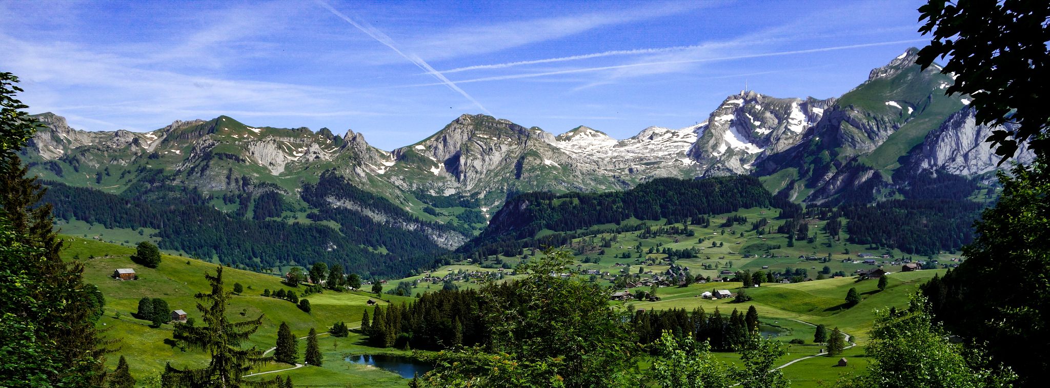
Toggenburger Höhenweg – Demanding hiking near St. Gallen
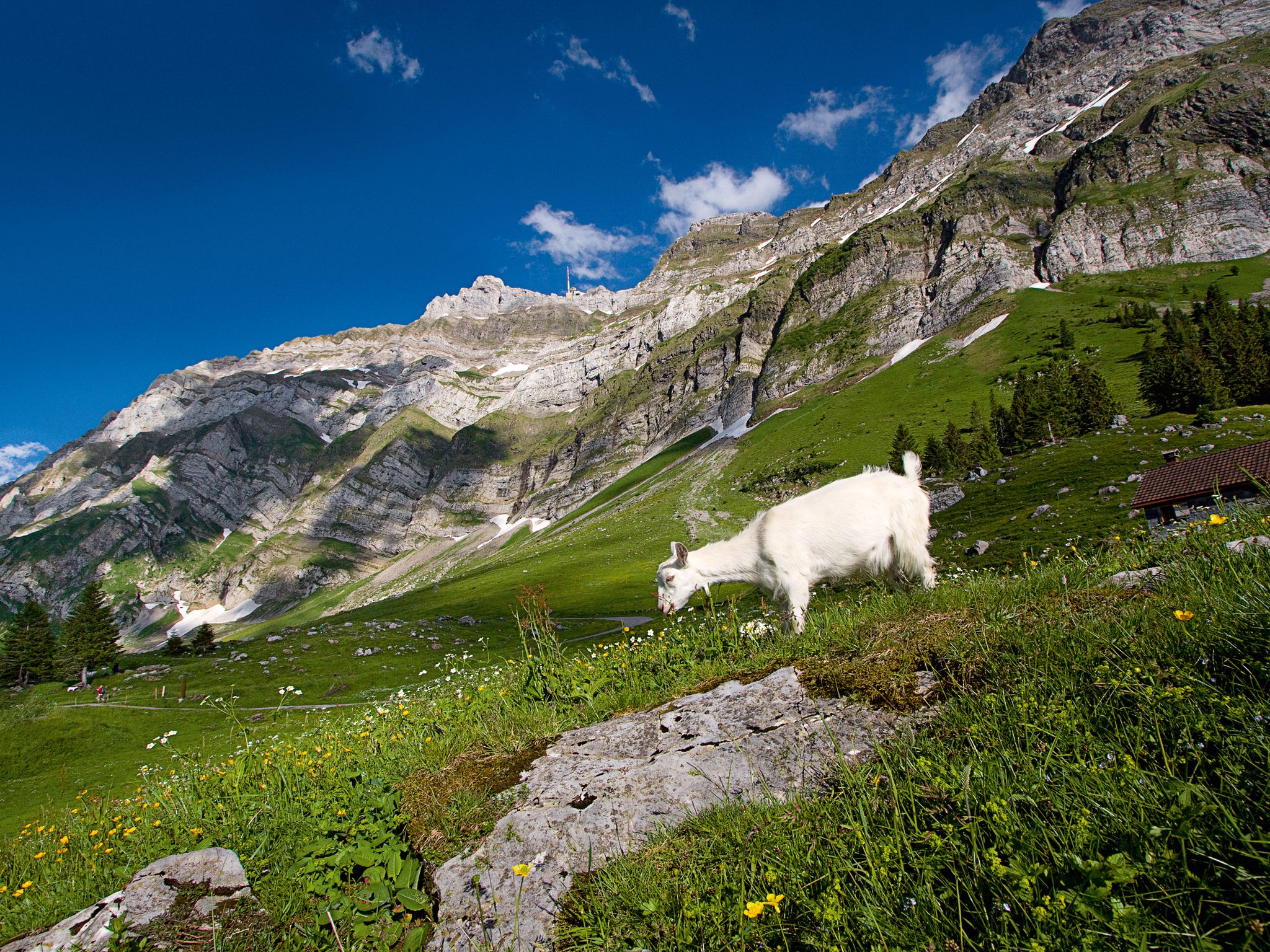
When the mountain awakens – spring hikes around the Schwägalp

Lake and Alps Adventure – explore 100 dreamy places in our cycling region!
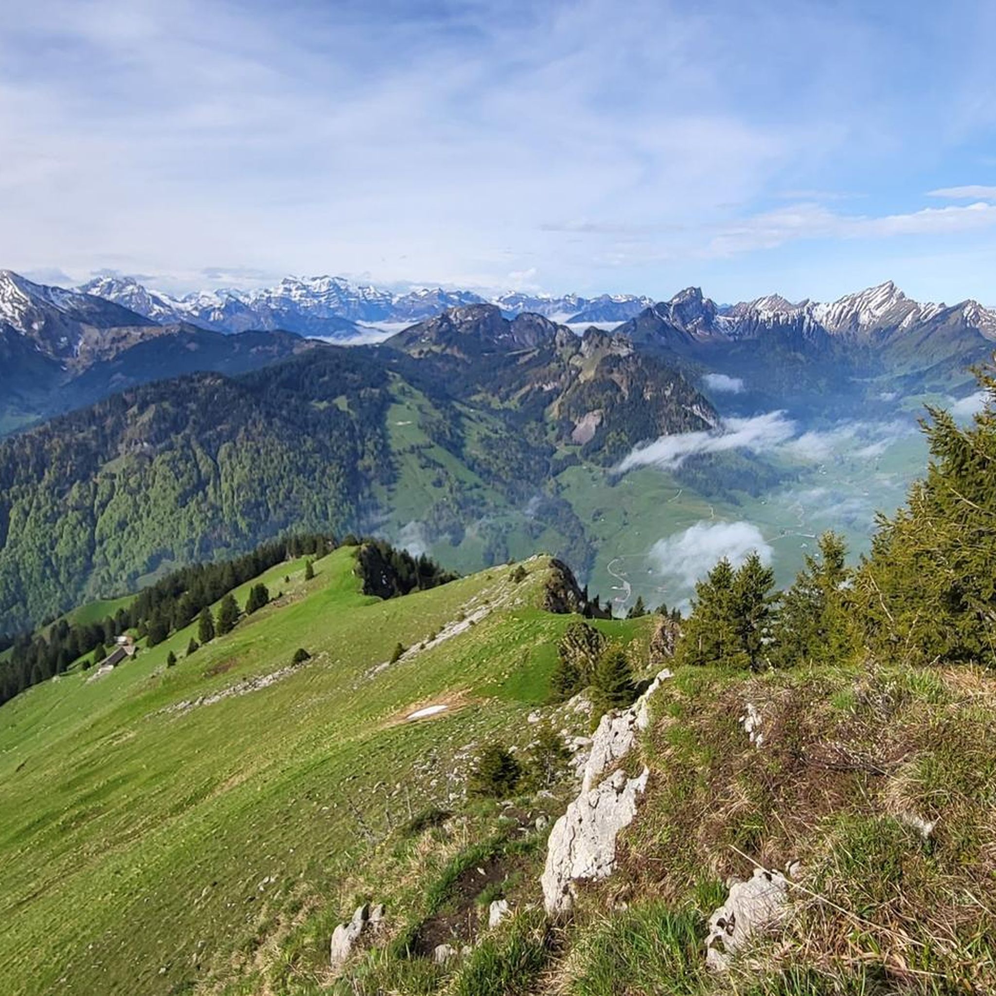
MTB Trails around Alt St Johann und Unterwasser
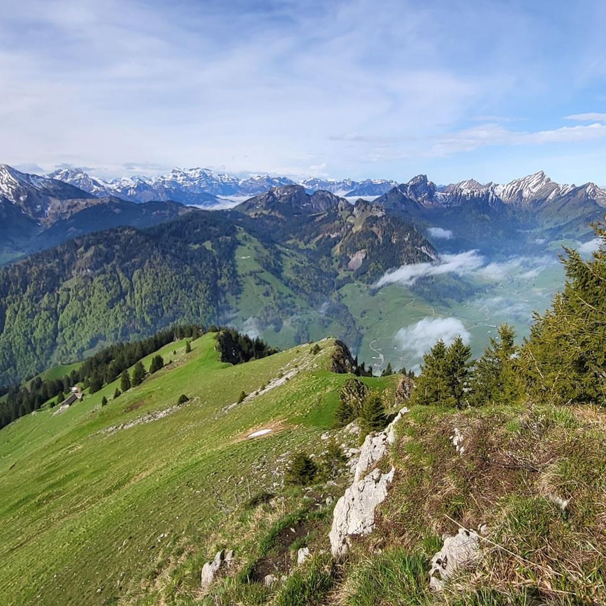
Road Cycling Routes around Alt St Johann und Unterwasser
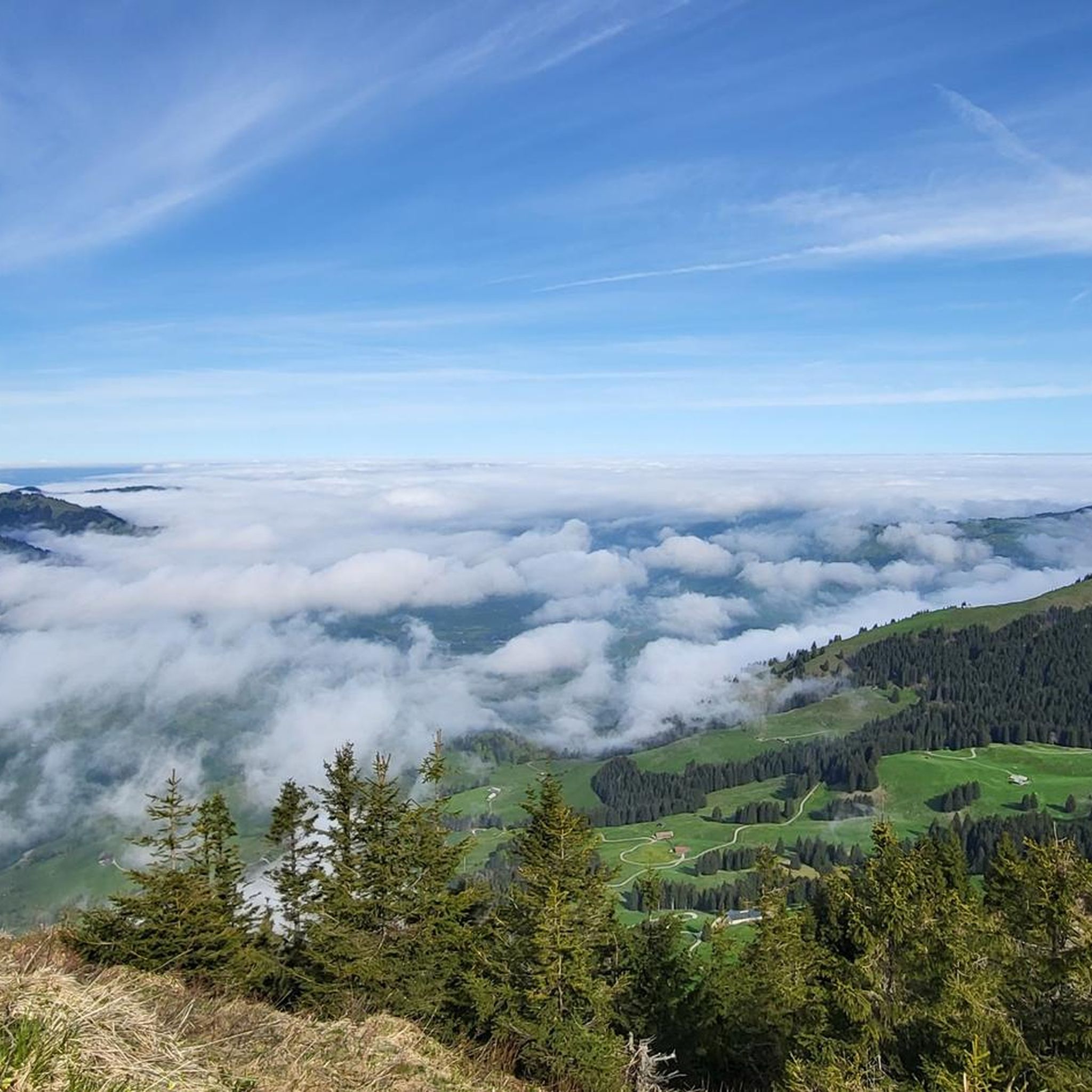
Cycling around Alt St Johann und Unterwasser
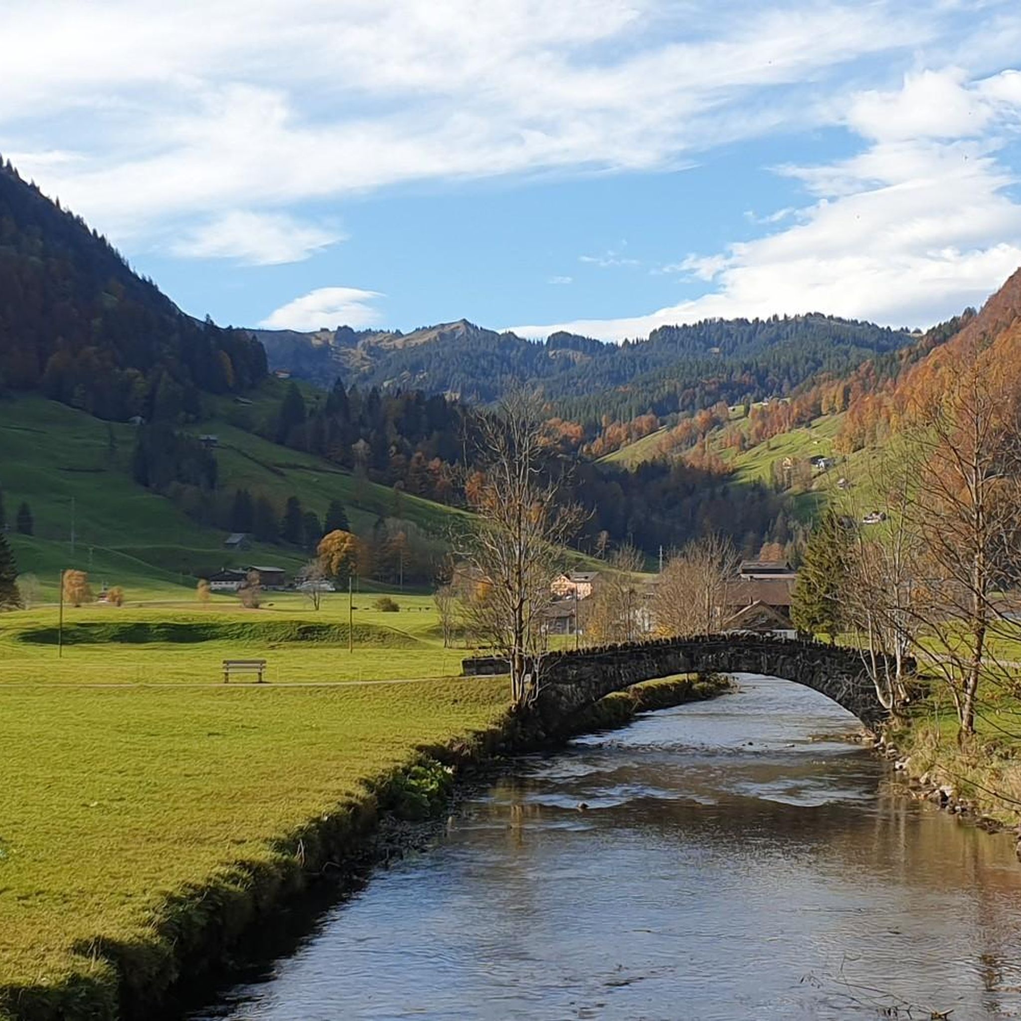
Running Trails around Alt St Johann und Unterwasser
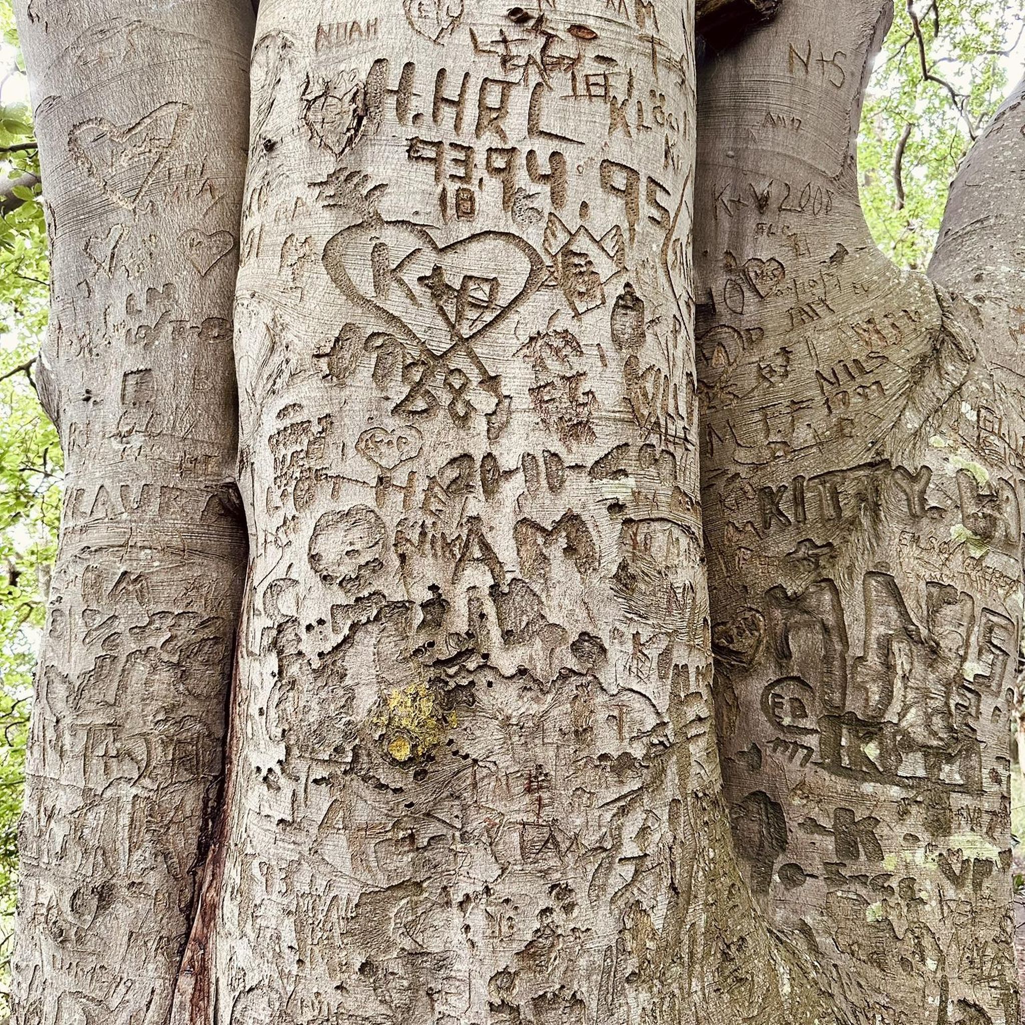
Mountain Hikes around Alt St Johann und Unterwasser
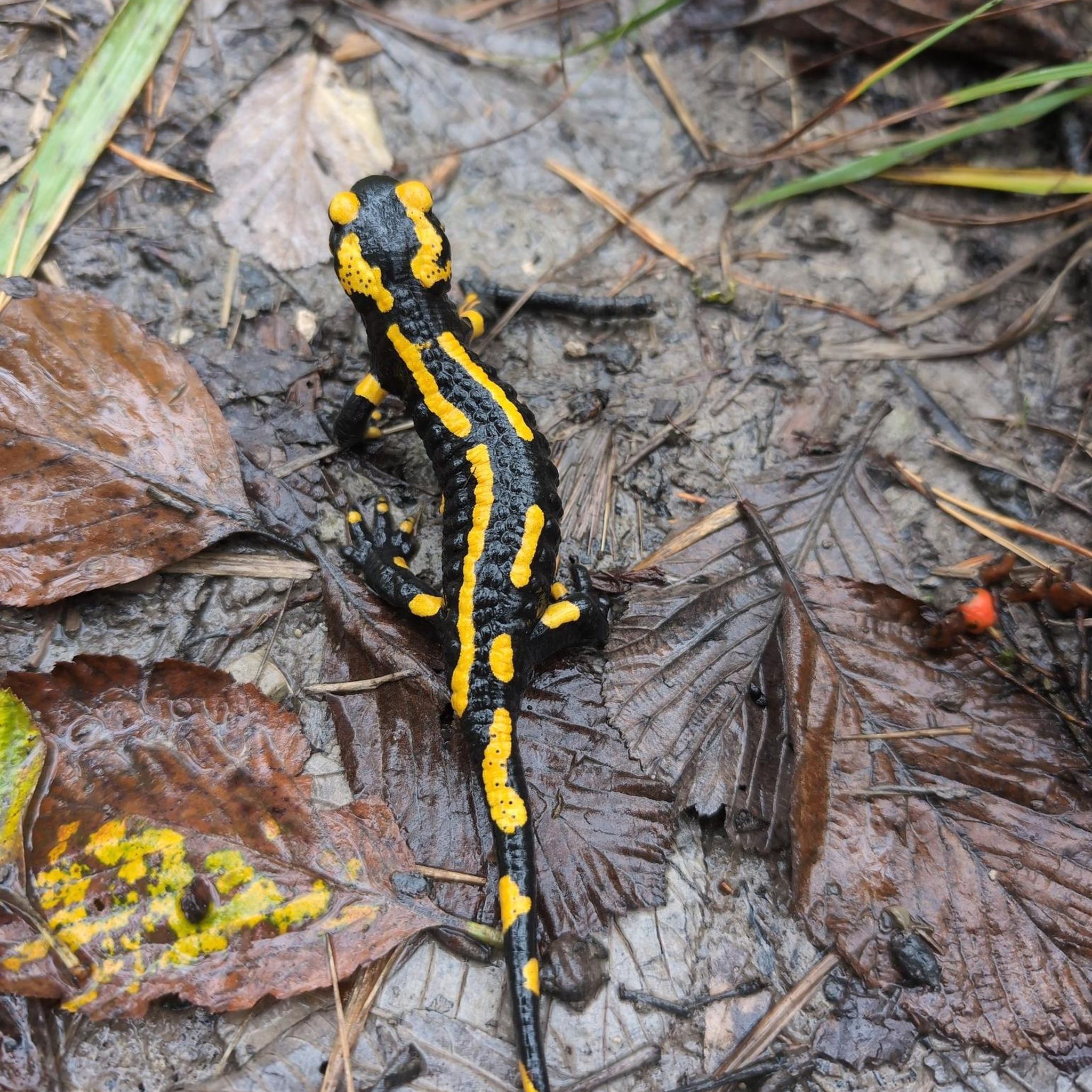
Gravel biking around Alt St Johann und Unterwasser
Other adventures around Alt St Johann und Unterwasser


Tips from the Community


Beautiful cross-country ski trails - shared trails with winter hikers.
0
0

Chäserrugg Summit Restaurant at 2,262 m above sea level / Panoramic views of 6 countries Refined cuisine with panoramic views of 6 countries – the summit restaurant by Herzog & de Meuron offers unforgettable moments at 2,262 m above sea level, whatever the weather. Even during construction, the mountain station set an example: out of respect for the environment, all materials, with the exception of the crane, were delivered by cable car. Sustainability is essential for us, and we are committed to using regional and seasonal products. The entire restaurant is wheelchair accessible and easily reachable by cable car for people with reduced mobility. Text / Source: Toggenburg Mountain Railways, Unterwasser https://www.chaeserrugg.ch/de/geniessen/restaurants/gipfelrestaurant-chaeserrugg
14
0

In summer there's a coffee machine, in winter only Nescafé. But still.
0
0
A cold air pool often forms here, which meteorologists have used to proudly announce the lowest temperatures. It's a depression, and all photos showing a lake are incorrectly placed for this "tip."
0
0

This magnificent mountain ridge represents the last section before Mount Säntis. A steel cable has been installed for safety on some sections of the trail; sturdy footwear and a head for heights are therefore strongly recommended. However, no special equipment is required.
1
0

Frequently Asked Questions
What types of hiking trails are available in Alt St. Johann and Unterwasser?
The region offers a wide variety of trails, from easy strolls to demanding alpine treks. You'll find approximately 40 easy routes, around 90 moderate trails, and over 40 difficult options, catering to different fitness levels and experiences.
Are there family-friendly hiking trails in Alt St. Johann?
Yes, Alt St. Johann is known for being family-friendly. The View of the Alpstein – View of the Churfirsten loop from Alt St. Johann is a moderate option that offers expansive views. Additionally, the Toggenburg Story Trail and the Sound Trail are specifically designed for families, offering interactive experiences at the foot of the Churfirsten peaks.
What natural features or landmarks can I see while hiking in the area?
Hikers can explore a range of stunning natural features. The dominant Säntis massif and the seven Churfirsten peaks provide dramatic backdrops. You can also discover the impressive Thur Waterfalls, the historic Ofenloch Gorge, and the serene Lake Gräppelen. The Wildenmannlisloch Cave is another unique natural and historical marvel worth visiting.
Are there any circular hiking routes available?
Yes, many trails are designed as loops. For example, the View of Säntis – Gräppelensee loop from Unterwasser (Iltiosbahn) is a popular moderate circular route offering views of Säntis and Lake Gräppelen. Another option is the challenging Chäserrugg – View of Säntis and Schafsberg loop from Unterwasser (Iltiosbahn), which takes you through the Chäserrugg region.
When is the best time of year to go hiking in Alt St. Johann?
The summer months are ideal for hiking, offering pleasant weather and full access to the extensive trail network. However, the region also provides options for winter hiking, snowshoe tours, and even husky experiences, making it an appealing destination year-round depending on your preferred activity.
Can I bring my dog on the hiking trails?
Many trails in the Alt St. Johann and Unterwasser area are dog-friendly. It's always recommended to check specific trail regulations or local signage for any restrictions, especially in nature reserves or protected areas. Generally, dogs should be kept on a leash to protect wildlife and ensure a pleasant experience for all hikers.
What kind of terrain can I expect on the trails around Alt St. Johann?
The terrain is diverse, ranging from well-maintained valley paths to rugged alpine trails. You'll encounter forested sections, open meadows, and rocky paths, especially in higher elevations like the Säntis massif and Churfirsten peaks. Some routes may involve significant elevation changes, requiring sturdy footwear and sure-footedness.
Where can I find panoramic viewpoints during my hike?
The region is rich in panoramic views. The View of the Alpstein – View of the Churfirsten loop from Alt St. Johann offers expansive vistas of both mountain ranges. The Chäserrugg area, accessible via cable car, is particularly renowned for its breathtaking views of the surrounding landscape, including the Alpstein and Lake Constance.
Is public transport available to reach hiking trailheads?
Yes, public transport options are available to reach various starting points for hikes. For instance, the Iltiosbahn in Unterwasser provides access to trails leading towards Chäserrugg and other areas. The gondola lift from Alt St. Johann to Alp Sellamatt also serves as a convenient starting point for many routes, including those leading to the Wildenmannlisloch cave.
What do other hikers enjoy most about hiking in Alt St. Johann?
The komoot community highly rates the hiking experience in Alt St. Johann, with an average score of 4.7 stars from over 1300 reviews. Hikers often praise the stunning views of the Säntis massif and Churfirsten peaks, the diverse terrain, and the well-maintained trails. The variety of routes, from serene lake loops like the View of Säntis – Gräppelensee loop from Laui-Alpli to challenging alpine ascents, is also frequently highlighted.
Are there any challenging multi-day hikes or alpine routes?
While many routes are suitable for day hikes, the region's higher elevations, particularly within the Alpstein sub-range and around the Säntis massif, offer challenging trails that can be combined for longer, more demanding alpine experiences. Routes like the View of Säntis – Tierwis Mountain Inn loop from Laui-Alpli are classified as difficult and require very good fitness, sure-footedness, and alpine experience.
Most popular routes around Alt St Johann und Unterwasser
Most popular attractions around Alt St Johann und Unterwasser

Get inspired with the komoot mobile app


Explore more
Browse the best Hikes in other regions.
