The best mountain hikes around Schwetzingen
5.0
(3)
10
hikers
2
hikes
Mountaineering around Schwetzingen, while situated in the Rhine river plain at an elevation of about 100 meters, primarily involves exploring the rolling hills and forested landscapes of the broader Rhine-Neckar region and the nearby Odenwald. The immediate area offers picturesque scenery and natural reserves, but traditional high-altitude mountaineering is not present. Instead, the region provides challenging hikes and demanding trails in areas like Heidelberg, characterized by varied terrain and significant elevation changes.
Best mountaineering routes around Schwetzingen
- The most popular…
Last updated: October 5, 2026
5.0
(1)
1
hikers
Moderate mountaineering route. Good fitness required. Easily-accessible paths. Suitable for all skill levels.
5.0
(2)
5
hikers
8.70km
02:58
450m
450m
Moderate mountaineering route. Good fitness required. Mostly accessible paths. Sure-footedness required.

2
hikers
15.3km
04:53
600m
600m
Moderate mountaineering route. Good fitness required. Mostly accessible paths. Sure-footedness required.
9.01km
03:06
470m
470m
Moderate mountaineering route. Good fitness required. Easily-accessible paths. Suitable for all skill levels.
1
hikers
Easy mountaineering route. Great for any fitness level. Easily-accessible paths. Suitable for all skill levels.
Our route recommendations are based on thousands of hikes, rides, and runs completed by other people on komoot.
Start today with a free account
Your next adventure awaits.
Popular around Schwetzingen

Discover the best of the south on the Deutschland Tour
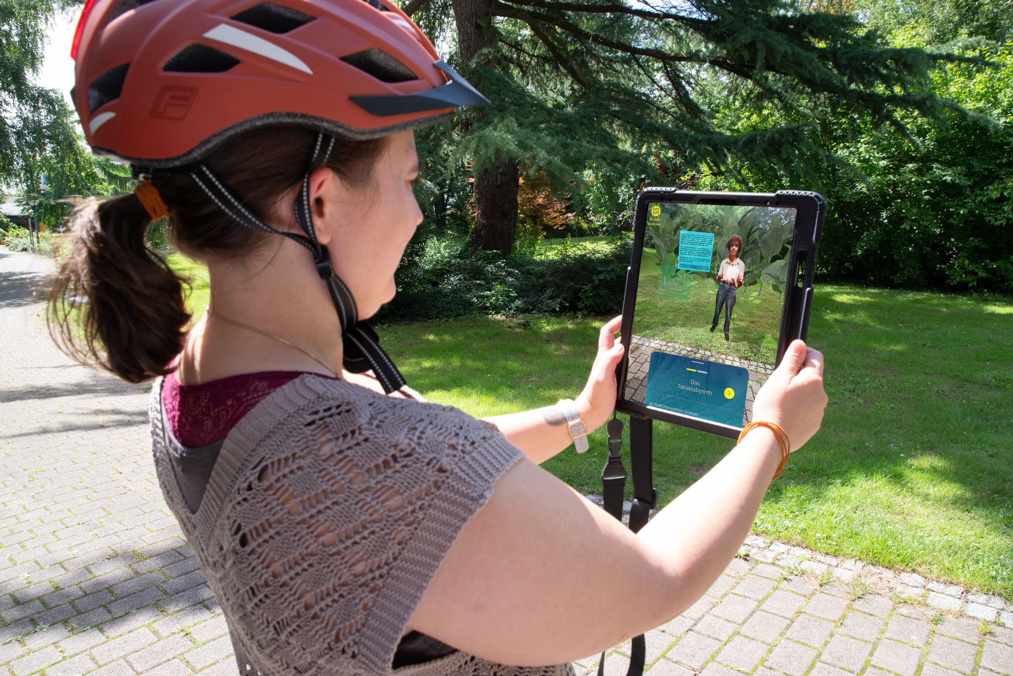
Weitersehen: Rad-Rund-Touren mit Augmented Reality Stationen
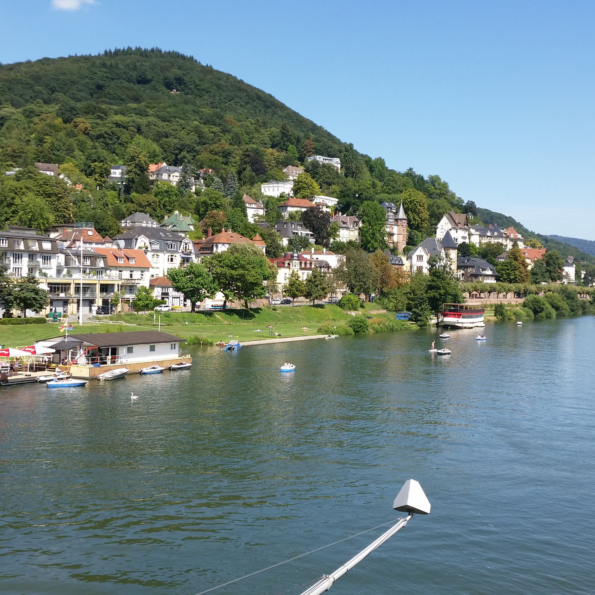
Cycling around Schwetzingen
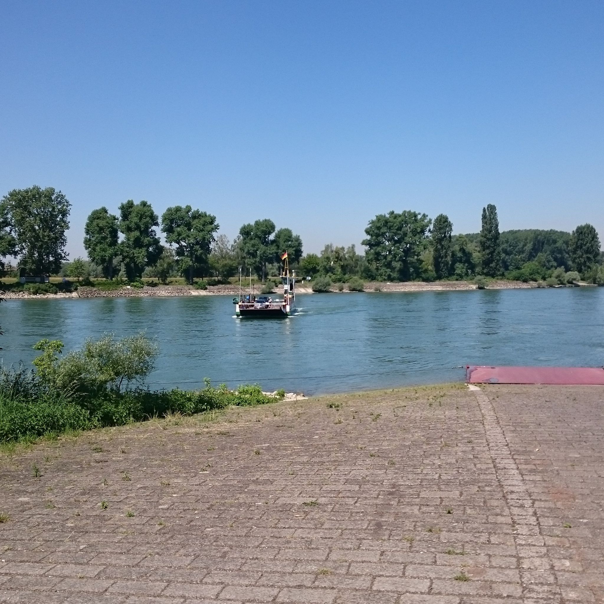
Hiking around Schwetzingen
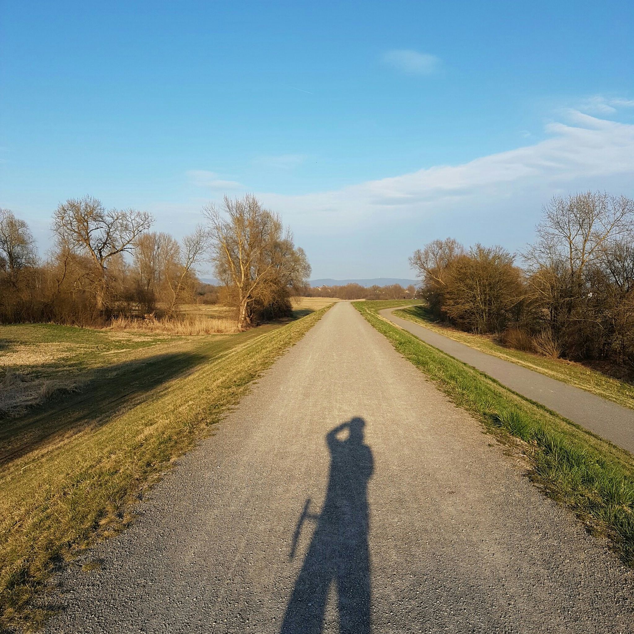
Road Cycling Routes around Schwetzingen
Running Trails around Schwetzingen
MTB Trails around Schwetzingen

Gravel biking around Schwetzingen


Tips from the Community

... take a hat with you. When you sweat, the wind blows on the Königstuhl
0
0

Replica of a Celtic wall
0
0

The giant sequoias are truly impressive! 🤩🌳 #GiantSequoias #Nature #Trees #Size #Wonder
0
0

A very beautiful place.
0
0

From here beautiful view of the castle
0
0

This is an excellent photo opportunity with the Karlsplatz fountain and the castle
1
0

A great place to linger. Quieter than the market square and with a direct view of the castle.
1
0

With a view of the castle
1
0
Frequently Asked Questions
What kind of mountaineering routes can I expect around Schwetzingen?
While Schwetzingen itself is located in the Rhine river plain, the broader region offers challenging hikes and demanding trails, particularly in areas like Heidelberg and the nearby Odenwald. These routes are characterized by rolling hills, dense woodlands, and significant elevation changes, providing a mountaineering experience focused on strenuous hiking rather than high-altitude climbing.
Are there any circular mountaineering routes in the area?
Yes, many of the mountaineering routes around Schwetzingen are designed as loops. For example, you can explore the Heidelberg Castle – View from Königstuhl loop, which offers panoramic views, or the Gaisberg Tower – Sprunghöhe Shelter loop, leading through dense forests to excellent viewpoints.
What are the difficulty levels of the mountaineering routes near Schwetzingen?
The mountaineering routes in the region are primarily categorized as moderate. They require good fitness and sure-footedness, involving varied terrain and elevation changes suitable for experienced hikers looking for a challenge.
What are some scenic viewpoints along the mountaineering routes?
Many routes offer stunning vistas. The Heidelberg Castle – View from Königstuhl loop provides panoramic views of Heidelberg Castle and the Neckar valley. Another excellent spot is from the Gaisberg Tower, accessible via the Gaisberg Tower – Sprunghöhe Shelter loop.
Are there any family-friendly mountaineering options?
While the listed mountaineering routes are generally moderate and require good fitness, families looking for less strenuous outdoor activities can explore the Schwetzingen Palace Garden for leisurely walks or the Hirschacker and Dossenwald Nature and Landscape Reserve, which offers easier trails amidst unique flora and fauna.
What kind of natural features can I discover on these routes?
The routes often lead through diverse landscapes. You'll encounter dense oak-hornbeam forests, unique drift sand regions with specialized flora like gentian of the cross, and natural springs, such as those found along the Mausbachbrunnen loop.
What do other mountaineers say about the routes around Schwetzingen?
The routes in the broader Schwetzingen area are highly rated by the komoot community, with an average score of 5.0 stars. Reviewers often praise the varied terrain, scenic viewpoints, and the challenging yet rewarding nature of the hikes.
Are there any historical landmarks or attractions near the mountaineering trails?
Absolutely! Many routes are close to significant landmarks. The Heidelberg Castle – View from Königstuhl loop offers views of the iconic Heidelberg Castle. You can also find highlights like the Old Bridge (Karl-Theodor-Bridge) in Heidelberg, which is a popular point of interest.
Can I access these mountaineering routes using public transport?
Many of the routes, especially those starting in Heidelberg, are accessible via public transport. Heidelberg is well-connected, making it a convenient starting point for trails like the Peterskirche Heidelberg – Sprunghöhe Shelter loop.
Are there opportunities for parking near the trailheads?
Yes, for routes starting from locations like the Max Planck Institute for Nuclear Physics or various points in Heidelberg, parking facilities are generally available nearby, though it's always advisable to check local parking regulations and availability before your trip.
What is the best time of year to go mountaineering around Schwetzingen?
The region is enjoyable for hiking throughout much of the year. Spring and autumn offer pleasant temperatures and beautiful foliage, while summer provides longer daylight hours. Winter mountaineering is possible, but conditions can vary, so checking local weather forecasts is recommended.
Are there any cafes or refreshment stops along the routes?
While specific cafes directly on every trail are not guaranteed, routes that pass through or near towns like Heidelberg will offer numerous options for refreshments. It's always a good idea to pack sufficient water and snacks, especially for longer tours like the Drei Eichen Playground – Seven Ways Junction (Odenwald) loop.
Most popular routes around Schwetzingen
Most popular attractions around Schwetzingen

Get inspired with the komoot mobile app


Explore more
Browse the best Mountain Hikes & Routes in other regions.
